Elevation of Whitcomb Diimmel Road, Whitcomb Diimmel Rd, Washington, USA

Location: United States > Washington > Forks >

Longitude: -124.39459

Latitude: 47.9805971

Elevation: 68m / 223feet

Barometric Pressure: 101KPa

Elevation Map:

elevation map of Whitcomb Diimmel Road, Whitcomb Diimmel Rd, Washington, USA

Satellite Map:

Satellite map of Whitcomb Diimmel Road, Whitcomb Diimmel Rd, Washington, USA

Related Photos:

street urban square shadows forks manuallensnocpu
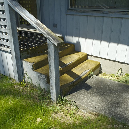
The dentist's steps
street urban blackandwhite bw square shadows forks manuallensnocpu
Glimpses of Forks, WA
street urban blackandwhite bw square shadows forks cameraslenses manuallensnocpu
Wash line
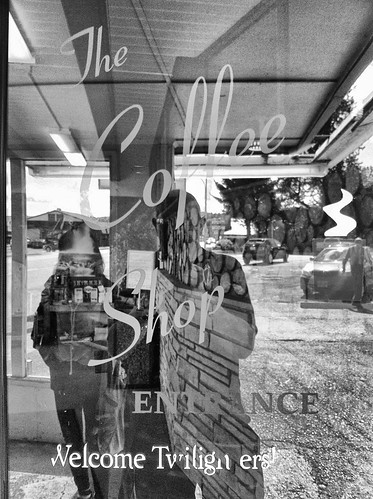
washington twilight jacob edward bella forks
Forks, Washington
street urban blackandwhite bw shadows forks manuallensnocpu
Dead bank
signs mushroom nikon monday 2010 2011 d80 olympicworkshop
There should be fairies under there
birds animals washington olympicpeninsula pacificnorthwest wa forks olympicnationalpark pacificcoast nikkor18200mmvr mistyvalleyinn nikond300 ©2010alexandergladshtein
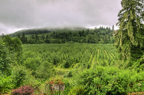
Misty View
square squareformat iphoneography instagramapp uploaded:by=instagram
Lunchtime view.
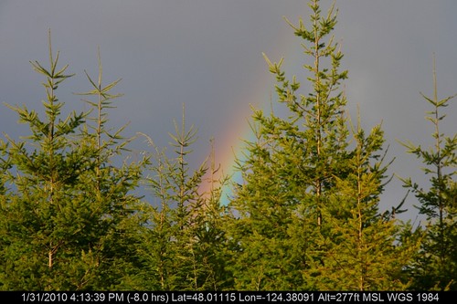
geotagged geo:lat=480111468989251 geo:lon=124380909400309
IMG_9318.jpg
square squareformat iphoneography instagramapp uploaded:by=instagram foursquare:venue=7043395
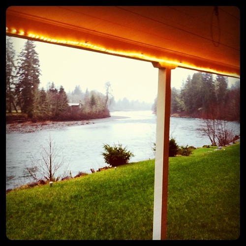
No vampires: The view from my front door
longexposure trees color green forest river landscape stream velvia washingtonstate olympicnationalpark fujichrome solducvalley mosscoveredrocks solducsprings
Running through the Forest
beavwerfalls clallamcounty hwy113highway113 westend washington beaver unitedstates us breath taking landscapes
BEAVER FALLS B&W-2
instagramapp square squareformat iphoneography uploaded:by=instagram
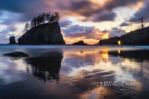
Time stands still while camping on the beach. #beachlife #destinationwashington #destinationpnw #discoveryournorthwest #beachcamping #backpackinglife #secondbeach #pacificocean #olympicnationalpark #hiwalkerphoto
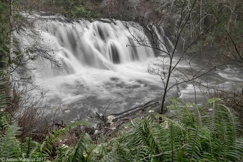
BEAVER FALLS-1
road forest highway 101 comparison hwy101 highway101 oldgrowth
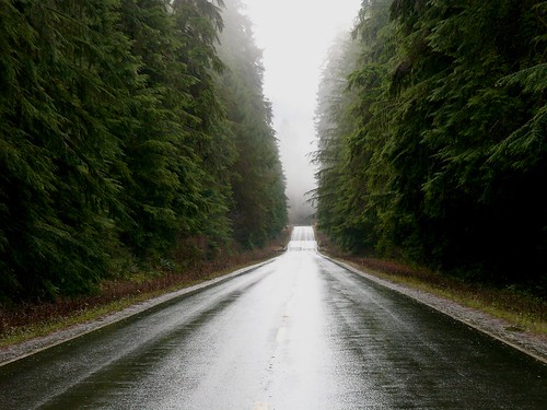
Slow - Hwy 101 old growth
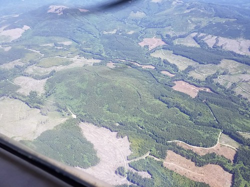
industrial forestry logging aerial management clearcut
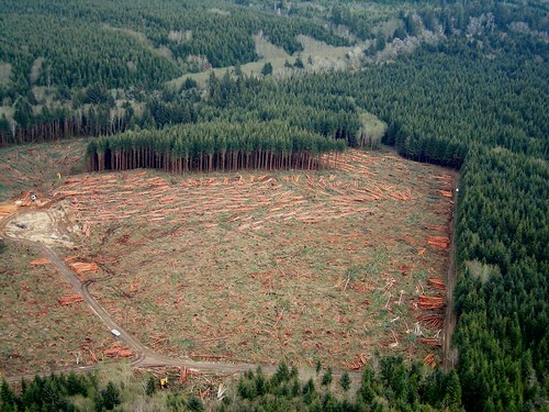
Slow - clearcut
usda usfs forestservice foresthealthprotection stateandprivateforestry 2018 swissneedlecastsurvey snc washington aerialdetectionsurvey aerialsurvey aerialphoto disease forestdisease treedisease wdnr washingtonstatedepartmentofnaturalresources washingtondepartmentoffishandwildlife justinhof
2018. Western Washington Swiss needle cast (SNC) aerial survey. Symptomatic plantation - lighter colored young Douglas-fir with a brownish tinge. In this photo the Douglas-fir are mixed with alder (light green trees), which are not a host of SNC.
park light rain fog forest landscape washington state foggy
Magic of light
usda usfs forestservice foresthealthprotection stateandprivateforestry region6 r6 pacificnorthwestregion washington coastal westernwashington wdnr washingtonstatedepartmentofnaturalresources swissneedlecast snc treedisease foliardisease disease aerialsurvey 2018 survey aerialdetectionsurvey aerialdetectionsurveys justinhof washingtondepartmentoffishandwildlife
2018. Western Washington Swiss needle cast (SNC) aerial detection survey. Clallam area, Washington.
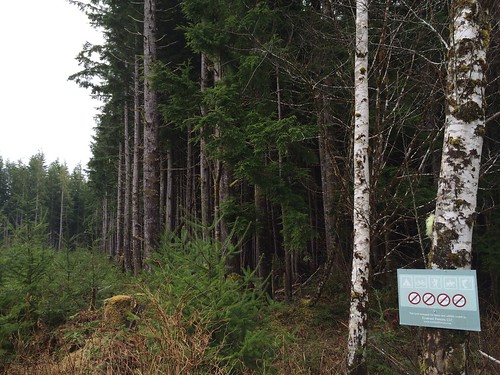
camping sign forest washington fishing hiking forestry olympicpeninsula biking ef horseriding propertyline dickeyriver forestland ecotrustforests recreationwelcome
Ecotrust Forests sign
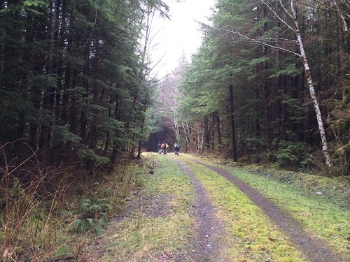
forest washington forestry olympicpeninsula dickeyriver forestland ecotrustforests
Group walking logging roads 2
cameraphone travel november autumn trees color green nature water creek forest photoshop river washington leaf nationalpark moss hoh rainforest hiking foliage trail pacificnorthwest olympic 2012 iphone4s
hoh river
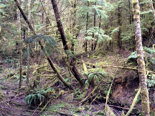
forest washington forestry olympicpeninsula dickeyriver forestland ecotrustforests
Northwest forest
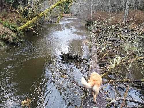
bobcat dickeyriver bigwoodydebris
Bobcat bridges the Dickey
forest washington forestry olympicpeninsula dickeyriver forestland ecotrustforests
Dickey River property 2
forks washington unitedstates us
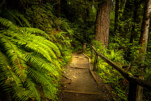
Trail of Mosses (Hoh Rain Forest)
Forks Early Morning Color
usa white green fall water vertical washington moss slow smooth portangeles falls rapids shutter rapid
Rapids at Sol Duc Valley
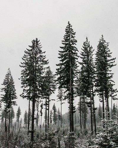
snow storm & trees. olympic national park. washington.
square sierra squareformat iphoneography instagramapp uploaded:by=instagram foursquare:venue=4e0c12f962e12464ea86a348
A little morning forest fog
square squareformat rise iphoneography instagramapp uploaded:by=instagram foursquare:venue=4d9fb212fc4f721e2b93a55f
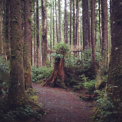
Stump growth. La Push beach 3 trail. Feb 2012