Elevation of Ozette Lake, Washington, USA
Location: United States > Washington > Clallam County > Clallam Bay >
Longitude: -124.63808
Latitude: 48.0933503
Elevation: 9m / 30feet
Barometric Pressure: 101KPa
Elevation Map:
Satellite Map:
Related Photos:

View South From Cedar Creek Camp

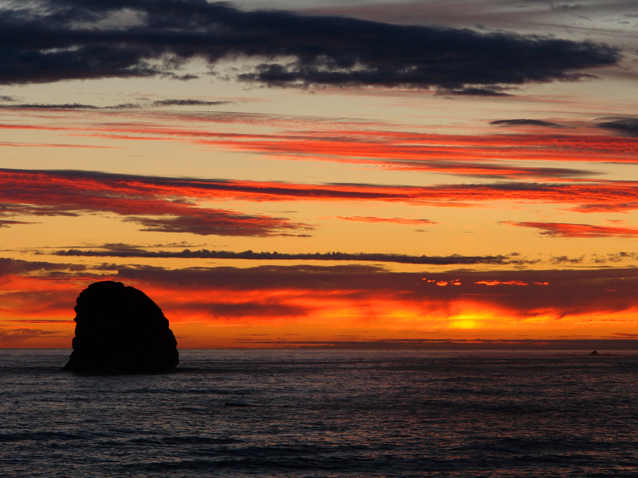
Seafield Creek Sunset
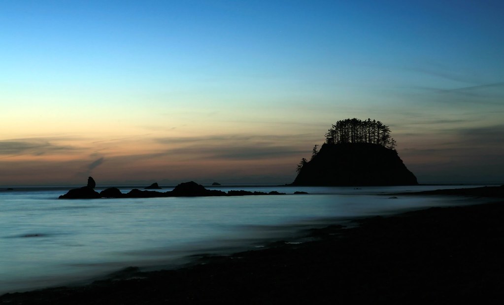
Evening at Sand Point
incoming tide
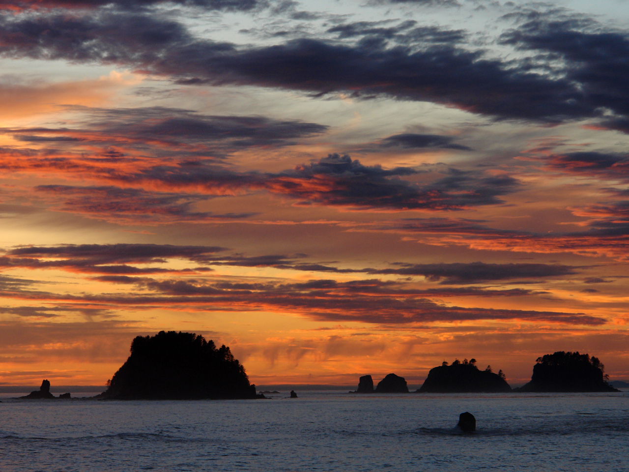
The Knob at Sand Point
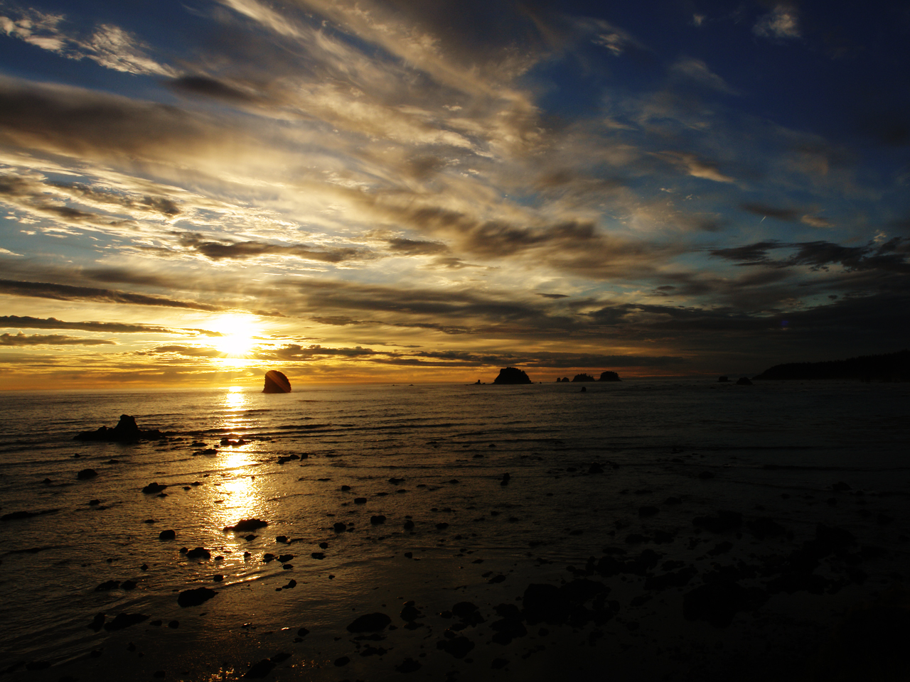
Sunset Seastacks

Cape Alava
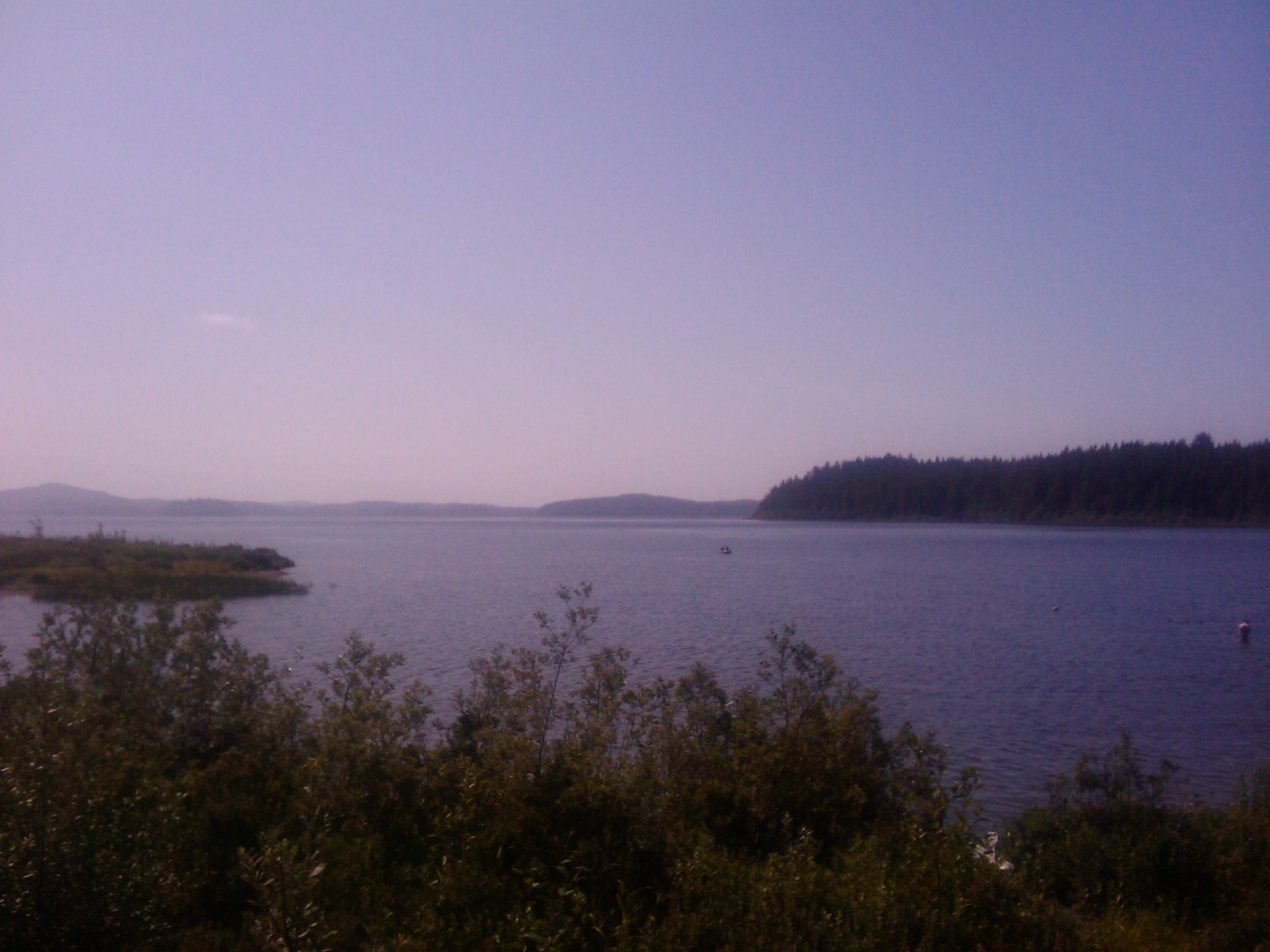
Ozette Lake Vista

Cape Alava

Cape Alava

Cape Alava
Topographic Map of Ozette Lake, Washington, USA
Find elevation by address:

Places near Ozette Lake, Washington, USA:
Ozette Neah Bay Road
153 Rainbow Ave
250 Rainbow Ave
200 Line Road
Cape Flattery Road
230 Salmon Dr
Whitcomb Diimmel Road
Cedar Drive
323 Gaydeski Rd
Bayview Ave, Neah Bay, WA, USA
200 Line Road
200 Line Road
200 Line Road
200 Line Road
Diaht Hill
Dia'ht Hill Drive
230 King Richards Way
Neah Bay
173 Dia'ht Hill Dr
120 Dia'ht Hill Dr
Recent Searches:
- Elevation of Corso Fratelli Cairoli, 35, Macerata MC, Italy
- Elevation of Tallevast Rd, Sarasota, FL, USA
- Elevation of 4th St E, Sonoma, CA, USA
- Elevation of Black Hollow Rd, Pennsdale, PA, USA
- Elevation of Oakland Ave, Williamsport, PA, USA
- Elevation of Pedrógão Grande, Portugal
- Elevation of Klee Dr, Martinsburg, WV, USA
- Elevation of Via Roma, Pieranica CR, Italy
- Elevation of Tavkvetili Mountain, Georgia
- Elevation of Hartfords Bluff Cir, Mt Pleasant, SC, USA