Elevation of Dia'ht Hill Dr, Neah Bay, WA, USA
Location: United States > Washington > Clallam County > Neah Bay >

Longitude: -124.62976

Latitude: 48.3685121

Elevation: 29m / 95feet

Barometric Pressure: 101KPa

Elevation Map:

elevation map of Dia'ht Hill Dr, Neah Bay, WA, USA
Satellite Map:

Satellite map of Dia'ht Hill Dr, Neah Bay, WA, USA
Related Photos:

statepark longexposure beach nature forest coast washington view hiking hike pacificnorthwest westcoast pnw northernwashington washingtonpenninsula
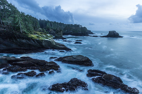
Churning Waves
park sunset usa mountain beach landscape geotagged washington rocks unitedstates pacific cloudy indian national wa olympic olympicnationalpark shi neahbay preservation seastacks shishibeach waatch geo:lat=4827762021 geo:lon=12467984461
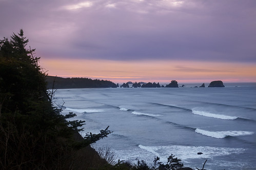
Shi Shi Beach, WA
reflections seastacks capeflattery
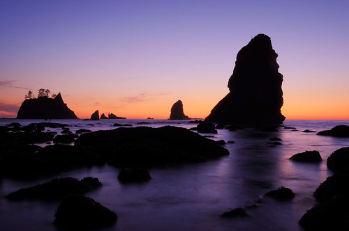
Cape Flattery Sea Stacks
ocean longexposure sky bw motion tree beach water clouds flow washington sand rocks surf waves unitedstates pacific shishi seastack clallambay pointofthearches ndx1000 nikonwideanglepcenikkor24mmf35ded
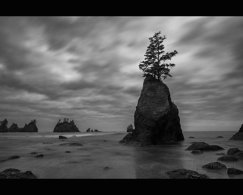
stand firm
travel nature oregon canon landscape landscapes washington nw northwest earth or exploring wanderlust adventure explore 7d pacificnorthwest washingtonstate exploration westcoast pnw cascadia capeflattery travelphotography landscapephotography landscapephotographer portlandphotographer traveloregon exploregon livefolk canon7d brianstowell oregonphotographer brianstowellphotography pacificnorthwestphotographer wildernessculture earthporn wildsights liveauthentic brianstowellphotographer brianstowellphoto brianstowellphotos
Sunset at Cape Flattery, Washington
trees nature island unitedstates pacificocean wa blueskies neahbay makahindianreservation project365 colorefexpro nikond90 capeflatterytrail day9forksflatteryshishi
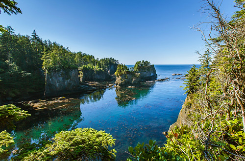
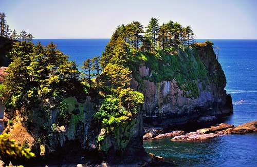
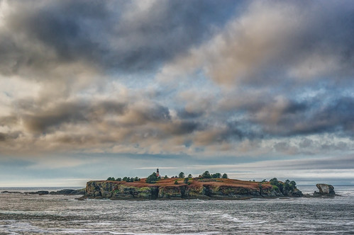
Islands at Cape Flattery
fog coast washington kat rocks cloudy hiking explore davis picnik capeflattery straightofjuandefuca madeexplore flickrgolfclub katdavis northwesternmostpoint photographykathy
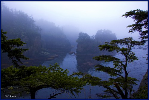
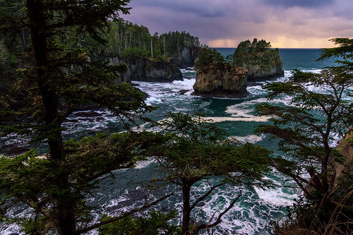
Cape Flattery
puffin capeflattery tuftedpuffin
Tufted Puffin Cape Flattery
2014-07-27 11.34.41
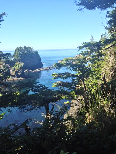
Great "Views" from Cape Flattery (Most NW Point in Contiguous USA)
ocean camping sunset sea beach washington nationalpark pacific backpacking olympicnationalpark stacks shishibeach pointofthearches
Shi Shi Rock Garden
beach washington springbreak backpacking olympicnationalpark shishibeach shishibeachapril2007
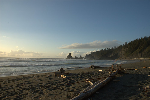
Shi Shi Beach
camping beach night astrophotography wa shishi milkyway
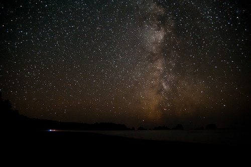
Milky way over the horizon
ocean travel blue trees sea sky usa lighthouse seascape blur tourism nature water clouds photoshop landscape geotagged outdoors island us washington nationalpark rocks waves unitedstates outdoor awesome shoreline olympicpeninsula landmark cliffs pacificocean motionblur coastal shore pacificnorthwest northamerica wa coastline washingtonstate olympicnationalpark westcoast washingtoncoast neahbay seastacks capeflattery waterscape rockformation straitofjuandefuca cloudyday travelphotography clallamcounty historicallandmark makahindianreservation tatooshisland cs6 straightsofjuandefuca northwestus capeflatterylight capeflatterylighthouse nikonflickraward classet neahbayandcapeflattery geo:lat=4838591245 geo:lon=12472669288
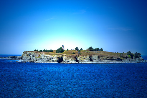
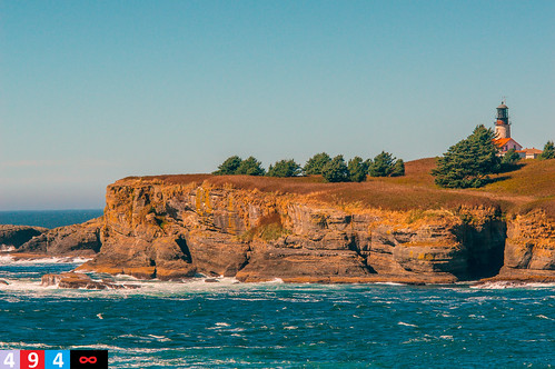
Cape Flattery Lighthouse, Tatoosh Island (Neah Bay, Washington)
ocean travel trees sea usa lighthouse seascape building abandoned tourism nature water grass clouds landscape geotagged outdoors island us washington nationalpark rocks waves unitedstates outdoor shoreline olympicpeninsula landmark cliffs pacificocean coastal shore pacificnorthwest northamerica wa coastline washingtonstate olympicnationalpark westcoast washingtoncoast neahbay seastacks capeflattery waterscape rockformation straitofjuandefuca cloudyday travelphotography clallamcounty historicallandmark makahindianreservation tatooshisland straightsofjuandefuca northwestus capeflatterylight liftsystem capeflatterylighthouse classet neahbayandcapeflattery geo:lat=4838591423 geo:lon=12472669153
Cape Flattery Lighthouse, Tatoosh Island (Neah Bay, Washington)
ocean travel trees sky panorama plants usa nature water weather clouds iso100 washington october rocks waves unitedstates olympicpeninsula noflash pacificocean northamerica 16mm locations 2010 seastack locale manualmode 1635mm shishibeach pointofarches canoneos30d camera:make=canon geo:state=washington exif:make=canon exif:iso_speed=100 objectsthings hasmetastyletag selfrating3stars exif:focal_length=16mm 2010travel 1100secatf11 geo:countrys=usa exif:model=canoneos30d camera:model=canoneos30d exif:lens=160350mm exif:aperture=ƒ11 subjectdistanceunknown clallambayneahbay october32010 olympicnationalpark1001201010032010 geo:lat=4824686 geo:city=clallambayneahbay geo:lon=124700148 48°14487n124°42053w clallambayneahbaywashingtonusa
Point of Arches
panorama rick 360 crichton aeryn
Hobuck Beach 360º Panorama
sunset beach landscape washington olympicnationalpark shishi
Sunset 3
art digital painting tablet wacom paddrick paintograph
Point of Arches Shi Shi03 - Painting
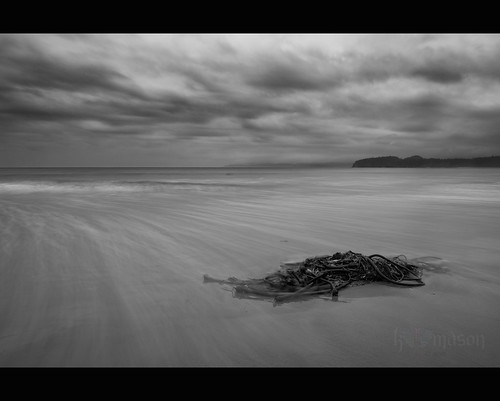
ocean longexposure sky bw motion seaweed beach water clouds flow washington sand surf waves unitedstates pacific shishi clallambay ndx1000 nikonwideanglepcenikkor24mmf35ded
swept away
travel capeflattery
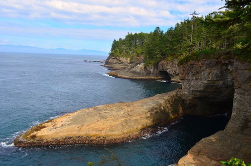
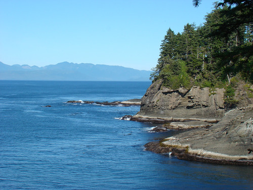
View from Cape Flattery
travel nature canon landscape landscapes washington nw pacific northwest earth or exploring wanderlust adventure explore pacificocean 7d pacificnorthwest washingtonstate exploration pnw neahbay cascadia capeflattery makah travelphotography landscapephotography landscapephotographer portlandphotographer livefolk canon7d brianstowell oregonphotographer brianstowellphotography pacificnorthwestphotographer wildernessculture earthporn wildsights liveauthentic brianstowellphotographer brianstowellphoto brianstowellphotos
Cape Flattery, Washington
ocean morning sea seascape beach water rock sunrise washington rocky wave olympicpeninsula pacificocean shore neahbay hobuckbeach
Rocky Shores
ocean beach pacificnorthwest olympicnationalpark shishi shishibeach
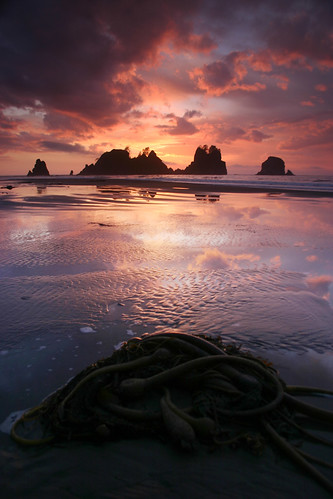
Sunset and Kelp
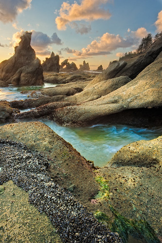
Rocky Sunset
sunset sea nature water landscape nikon day pacific cloudy pacificocean land wa 5100 dslr waterscape nikondslr nikon5100 capeflaterry mostnorthwestpointofus
Cape Flattery
Sean's Visit 2011
lighthouse abandoned island capeflattery photoshoplightingeffects capeflatterylighthouse
Cape Flattery Lighthouse
zeiss landscape washington beaches bonsai olympicnationalpark capeflattery landscapephotographer distagont bitchinlight distagon15mm ericthomsonphotography
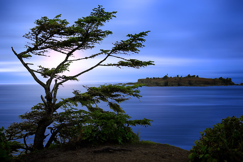
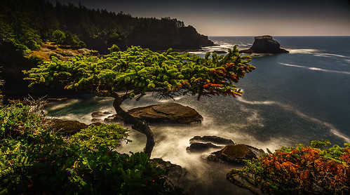
Flattery Bonsai
usa 3 washington exposure state 7 panoramic frame cape per hdr flattery worldhdr
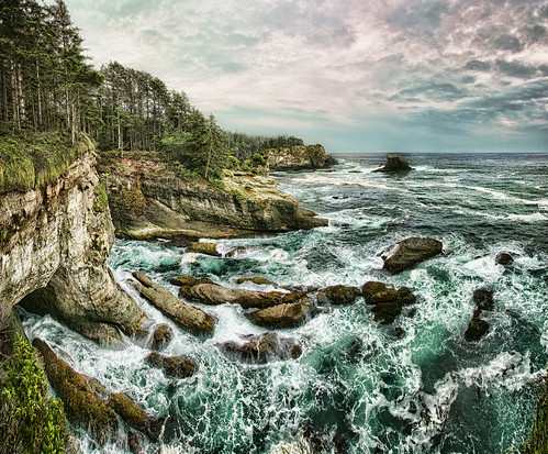
Tempest Edge
nikon d70 miata johnlconn clubmiata ©johnlconn
DSC_9392.jpg
road light sun forest washington olympicpeninsula makahreservation capeflattery
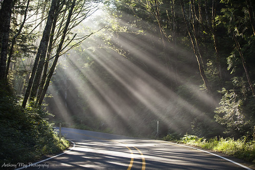
Rays of Light
Along Extreme Edges (Part 2): Entering New Extremes
point us washington northwest hiking olympicpeninsula trail most wa cape olympic peninsula neahbay amaya flattery sigfredo
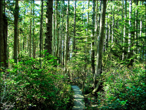
Cape Flattery Hiking Trail
Along Extreme Edges
square squareformat iphoneography instagramapp uploaded:by=instagram foursquare:venue=4c33dd8ced37a59309206e03
Sometimes I take sunset pictures.
Along Extreme Edges (Part 15): The Welcoming of a Lifetime
Sean's Visit 2011