Elevation of Eagle Crest Way, Clallam Bay, WA, USA
Location: United States > Washington > Clallam County > Clallam Bay >

Longitude: -124.28682

Latitude: 48.2407843

Elevation: 168m / 551feet

Barometric Pressure: 99KPa

Elevation Map:

elevation map of Eagle Crest Way, Clallam Bay, WA, USA
Satellite Map:

Satellite map of Eagle Crest Way, Clallam Bay, WA, USA
Related Photos:

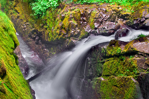
trip travel vacation usa water america waterfall washington nationalpark moss rainforest rocks day unitedstates sony clear wa olympicnationalpark sonycamera usnationalpark solducfalls a500 solducriver sonydigitalslr sonyalphadslr sal18250 sonya500 sonydslra500 sonyalphadslra500 kartikjayaraman
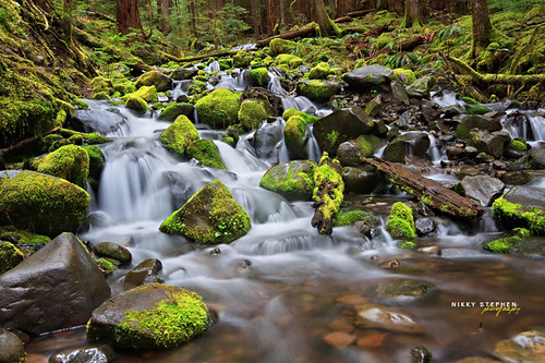
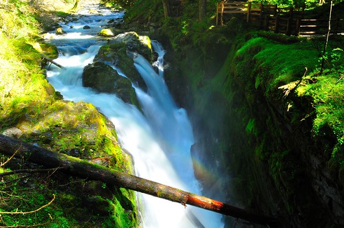
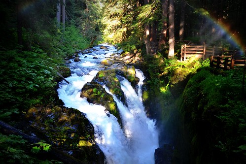
Sol Duc Falls - Olympic National Park, Washington
square squareformat iphoneography instagramapp xproii uploaded:by=instagram foursquare:venue=4de14a36c65bcc724f55eee6
Our view. #picoftheday #photooftheday #Washington #water #dock #boat
geotagged geo:lat=48103180750016 geo:lon=124225534250013
IMG_9251.jpg
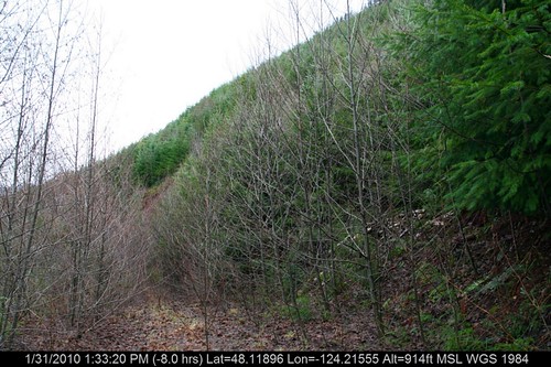
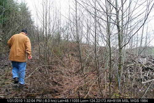
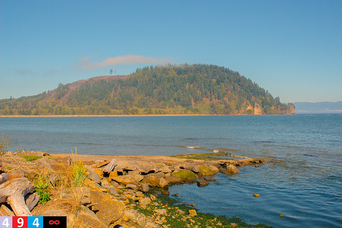
washington wa 2013 chitobeach canon60d greatnorthwest
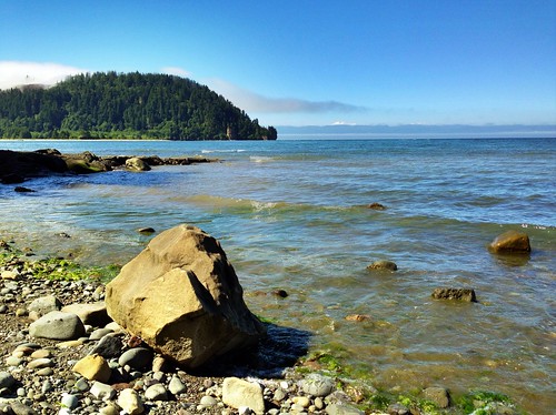
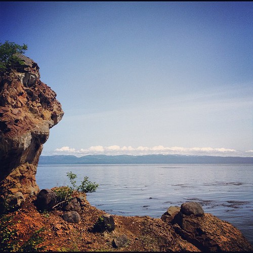
The view from Chito Beach
geotagged geo:lat=4811086321407 geo:lon=124215447571258
IMG_9264.jpg
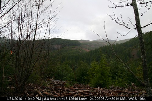
geotagged geo:lat=481264618334594 geo:lon=124203963500747
IMG_9249.jpg
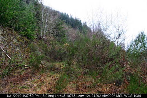
geotagged geo:lat=481076599286433 geo:lon=124212916142914
IMG_9263.jpg
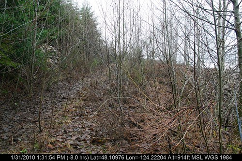
geotagged geo:lat=481097602494945 geo:lon=124222037500454
IMG_9255.jpg
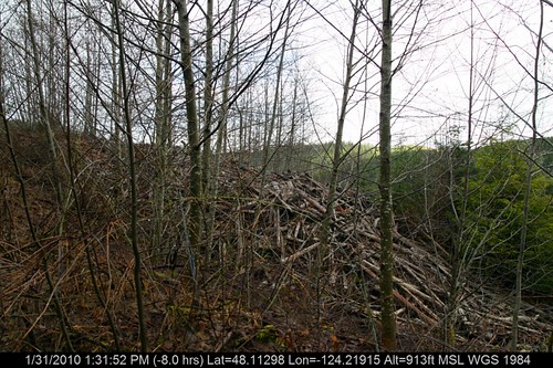
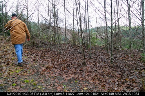
geotagged geo:lat=481129768752528 geo:lon=124219150249773
IMG_9254.jpg
geotagged geo:lat=481041214000024 geo:lon=124217078839841
IMG_9266.jpg
geotagged geo:lat=481060582864335 geo:lon=12421165042914
IMG_9262.jpg
geotagged geo:lat=481140665005034 geo:lon=124217979000398
IMG_9265.jpg
geotagged geo:lat=481088968463235 geo:lon=124217475230624
IMG_9245.jpg
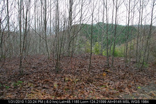
geotagged geo:lat=481182736666793 geo:lon=124216212473672
IMG_9261.jpg
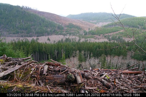
geotagged geo:lat=48108810238041 geo:lon=124207019666664
IMG_9269.jpg
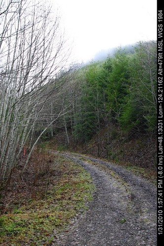
geotagged geo:lat=48130308884532 geo:lon=124211621346152
IMG_9270.jpg
washington wa 2013 chitobeach canon60d greatnorthwest
The view from Chito Beach
panorama 360 carmen crichton aeryn
Butler Cove Boat Launch 360º Panorama
geotagged geo:lat=48118503444439 geo:lon=124215990228075
IMG_9260.jpg
geotagged geo:lat=481189629999582 geo:lon=124215545736883
IMG_9259.jpg
geotagged geo:lat=481105503685804 geo:lon=124221727684076
IMG_9258.jpg
On the Edge of the Land
park sol water creek washington falls trail national wa brook olympic olympicnationalpark duc solducfalls
Sol Duc Falls Trail
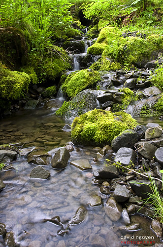
Small water-fall
washington highway landslide clallam
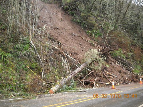
SR 112 - Slide blocks highway
uploaded:by=flickrmobile flickriosapp:filter=nofilter
Pillar Point, Washington (Jul 2013)
Into Another Realm
square sierra squareformat iphoneography instagramapp uploaded:by=instagram foursquare:venue=4c26a21ef1272d7fe4fc86c5
wish my #morning started here today #photoadayjune
travel lakecrescent waterfall washington olympicpeninsula solducfalls nikond5000
Sol Duc Falls
picnik
sol duc falls
square squareformat iphoneography instagramapp uploaded:by=instagram
Cape Flattery Trail, Neah Bay, Olympic Peninsula, WA - September 2015
square squareformat iphoneography instagramapp uploaded:by=instagram
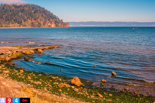
Chito Beach, Olympic Peninsula, WA - September 2015
square squareformat iphoneography instagramapp uploaded:by=instagram
Chito Beach, Olympic Peninsula, WA - September 2015
Edges of a Paradise
low tide
DSC_0041.JPG
square squareformat iphoneography instagramapp uploaded:by=instagram
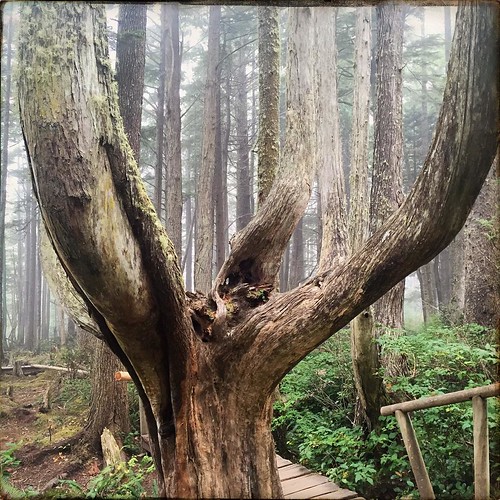
Cape Flattery Trail, Neah Bay, Olympic Peninsula, WA - September 2015