Elevation of Wharncliffe, WV, USA
Location: United States > West Virginia > Mingo County > Stafford >
Longitude: -81.965676
Latitude: 37.5553869
Elevation: 259m / 850feet
Barometric Pressure: 98KPa
Elevation Map:
Satellite Map:
Related Photos:


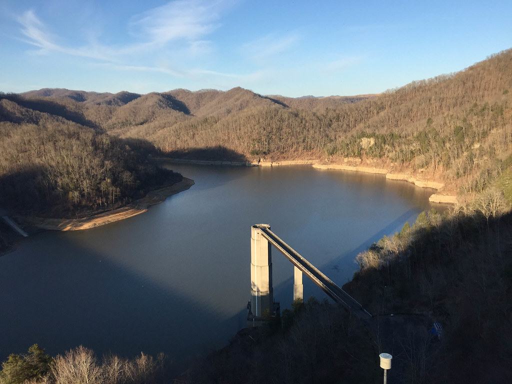
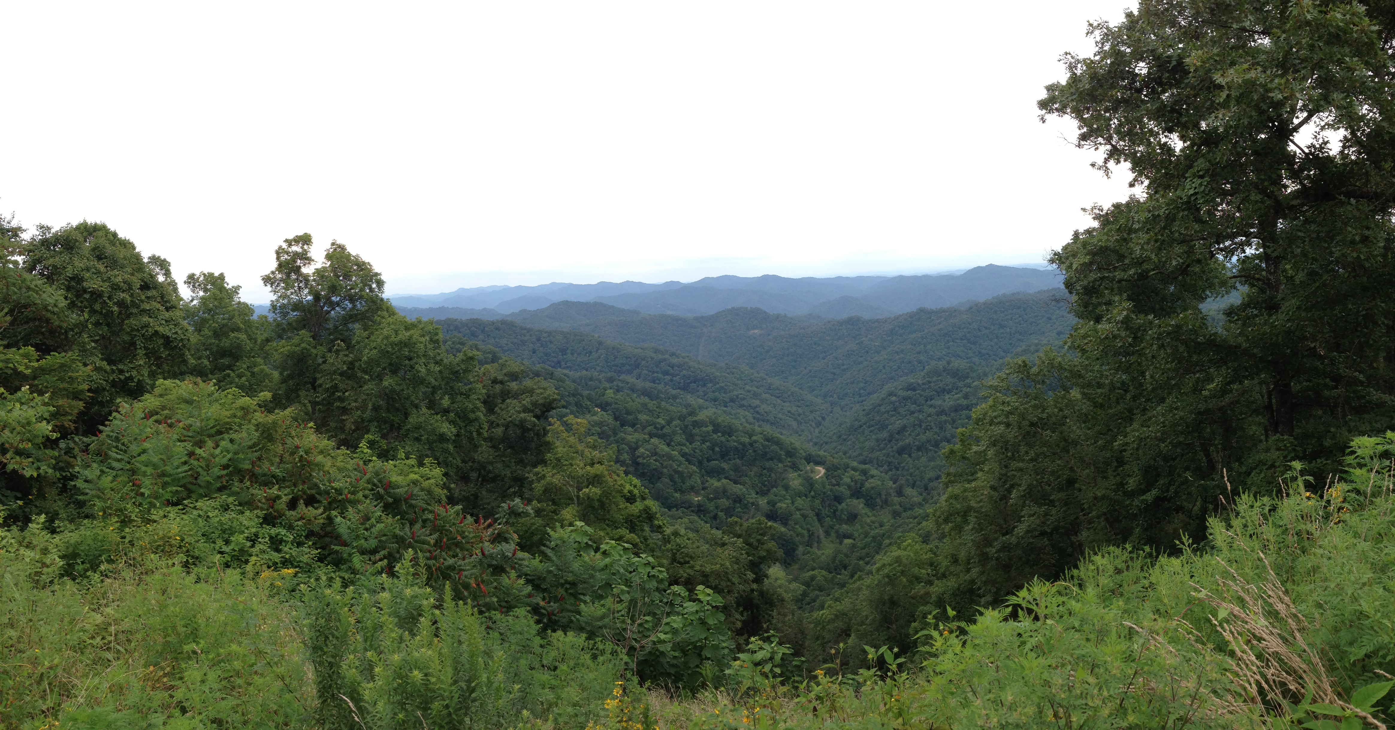
R.D. Bailey Lake
The way it is
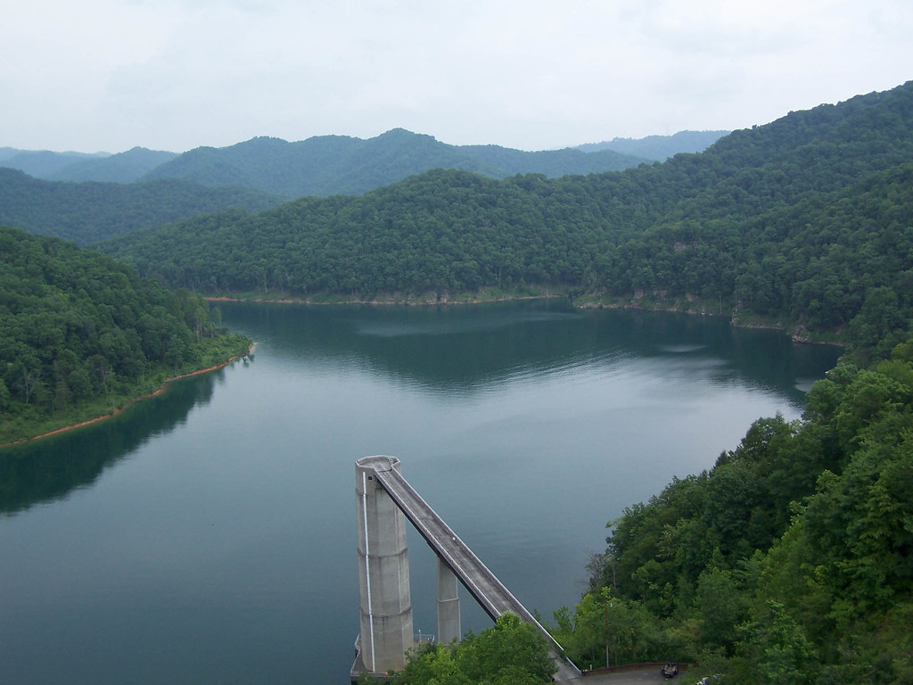
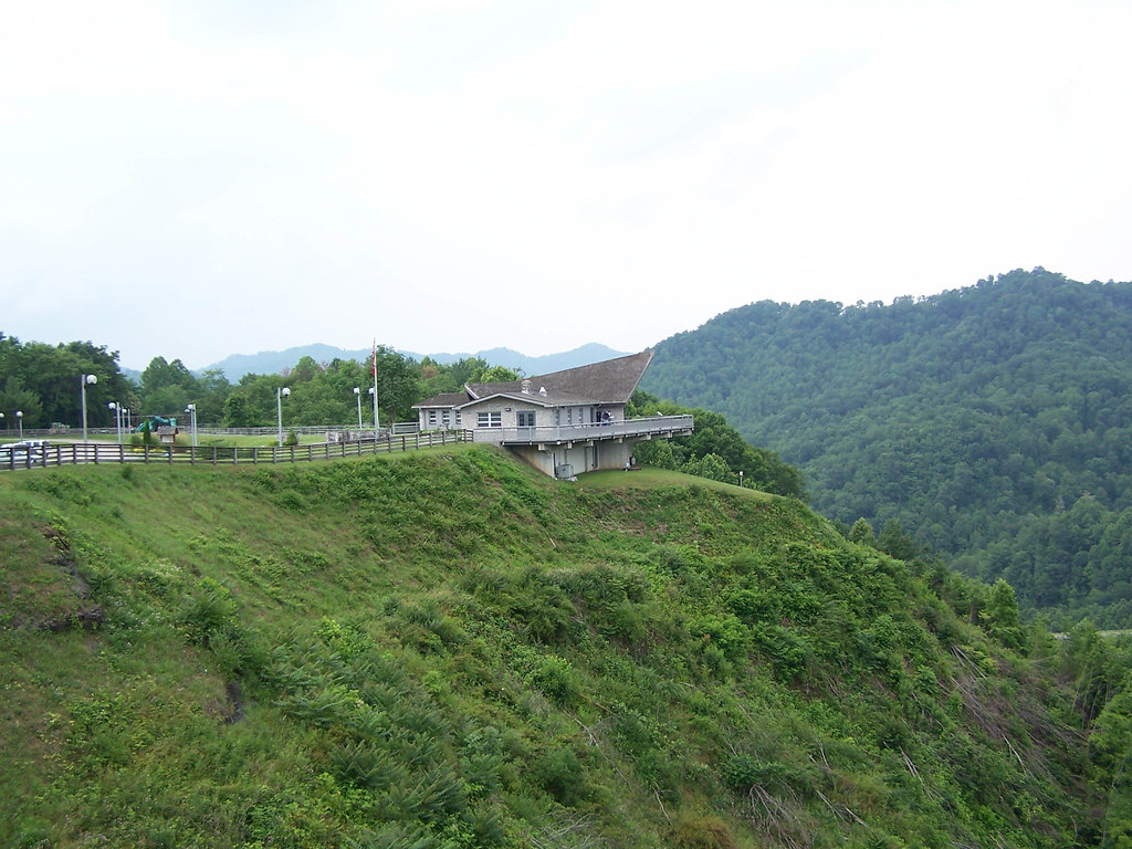
R.D. Bailey Dam
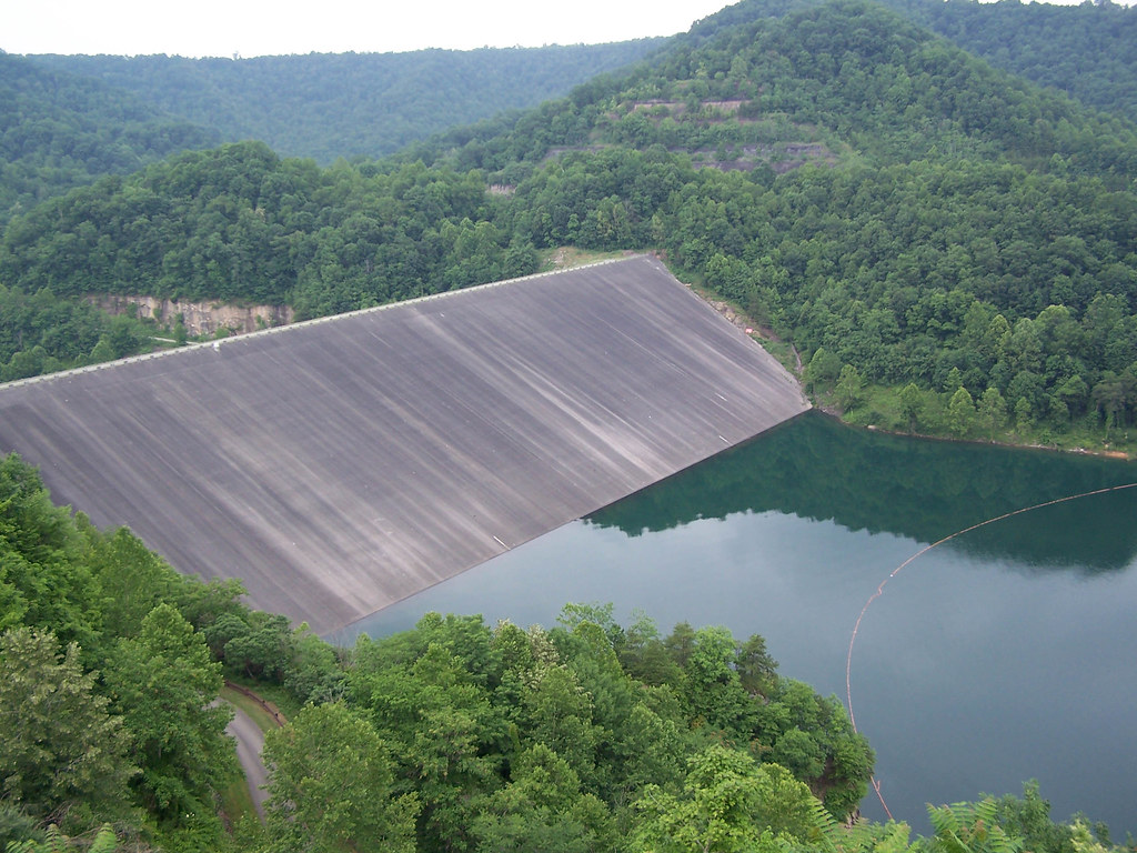
R.D. Bailey Dam
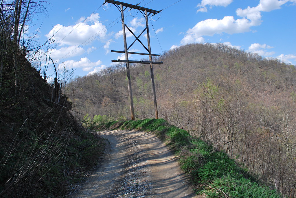
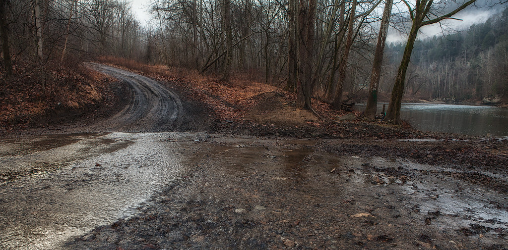
Fire Tower Road (Mingo CR 52/8)
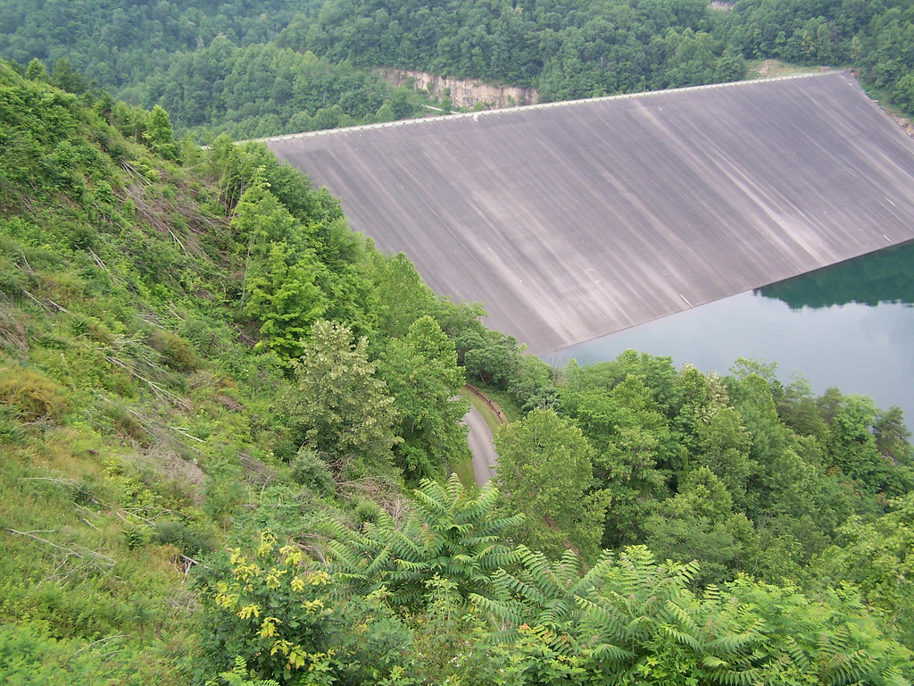
R.D. Bailey Dam
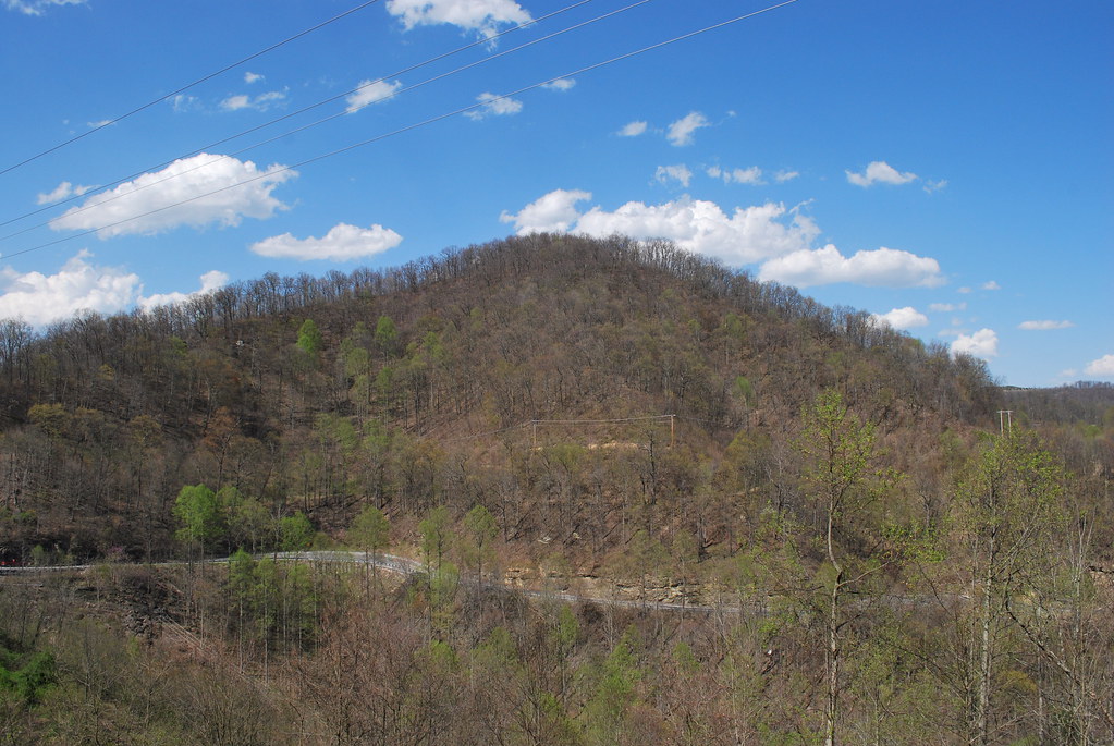
Horsepen Mountain
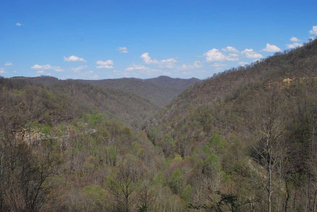
Horsepen Mountain
R.D. Bailey Lake
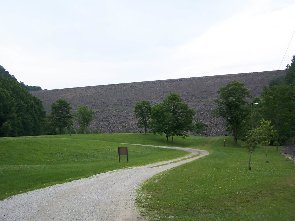
R.D. Bailey Lake

20081020-153028.jpg

20081020-153043.jpg

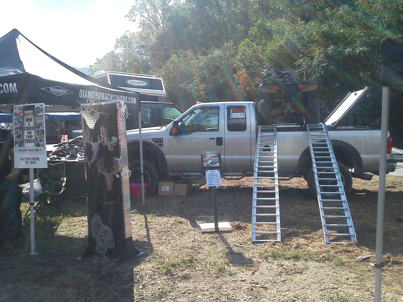
Renegades vs Gilbert
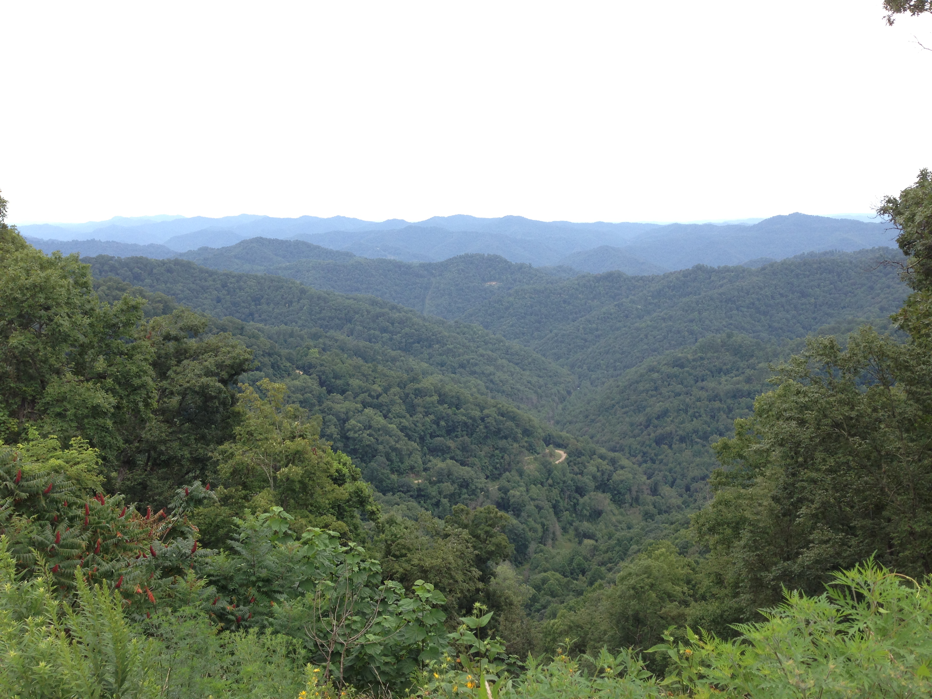
Hatfield & McCoy Trails
Hatfield & McCoy Trails
Topographic Map of Wharncliffe, WV, USA
Find elevation by address:

Places near Wharncliffe, WV, USA:
Beech Ben Mate
67 Dimple Dr, Gilbert, WV, USA
Twin Hollow Branch Road
Trail 12 Bbq
Twin Hollow Campground And Cabins
Gilbert
31 4th Ave, Gilbert, WV, USA
Knox
Stafford
Hurley
1000 King Coal Highway
Verner
46 Bunny Ln, Magnolia, WV, USA
Devil's Backbone Adventure Resort, Llc
Sandlick Branch Rd, Bruno, WV, USA
Bruno
Hanover
Jerry W Hwy, Delbarton, WV, USA
Iaeger
WV-80, Man, WV, USA
Recent Searches:
- Elevation of Corso Fratelli Cairoli, 35, Macerata MC, Italy
- Elevation of Tallevast Rd, Sarasota, FL, USA
- Elevation of 4th St E, Sonoma, CA, USA
- Elevation of Black Hollow Rd, Pennsdale, PA, USA
- Elevation of Oakland Ave, Williamsport, PA, USA
- Elevation of Pedrógão Grande, Portugal
- Elevation of Klee Dr, Martinsburg, WV, USA
- Elevation of Via Roma, Pieranica CR, Italy
- Elevation of Tavkvetili Mountain, Georgia
- Elevation of Hartfords Bluff Cir, Mt Pleasant, SC, USA