Elevation of Gilbert, WV, USA
Location: United States > West Virginia > Mingo County > Stafford >
Longitude: -81.866506
Latitude: 37.6142758
Elevation: 256m / 840feet
Barometric Pressure: 98KPa
Elevation Map:
Satellite Map:
Related Photos:


The way it is

Abandoned Man Hospital

Abandoned Man Hospital

Abandoned Man Hospital
Man, WV

WV 10 Man Bridge over Guyandotte River
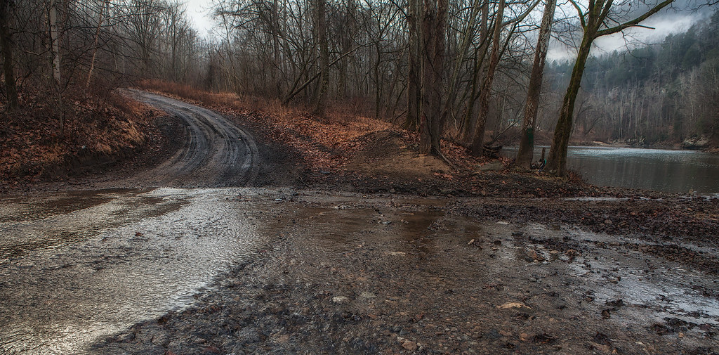
Fire Tower Road (Mingo CR 52/8)

R.D. Bailey Lake

R.D. Bailey Lake

R.D. Bailey Lake

R.D. Bailey Lake
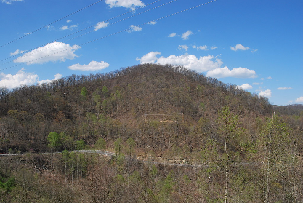
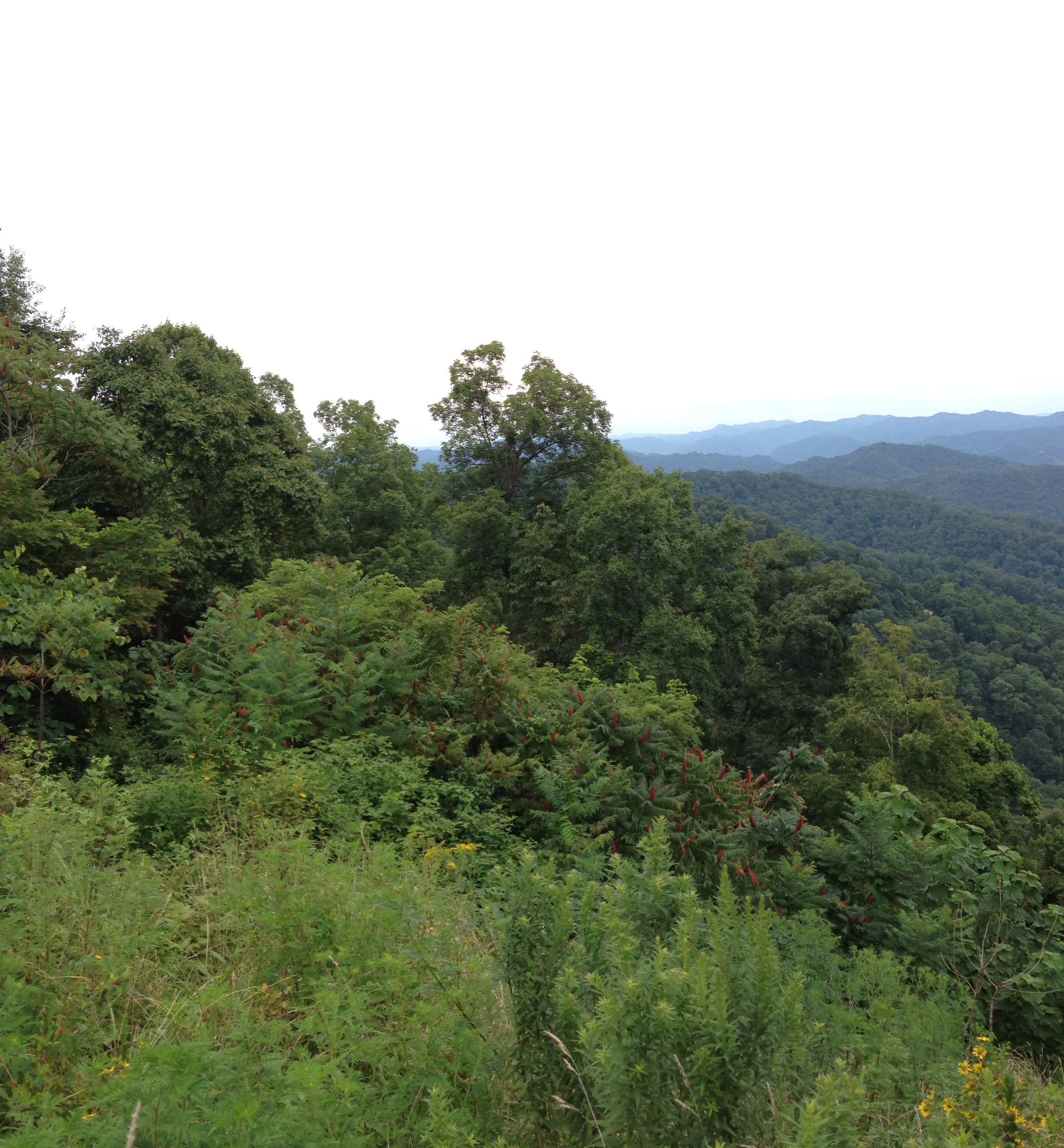
Horsepen Mountain
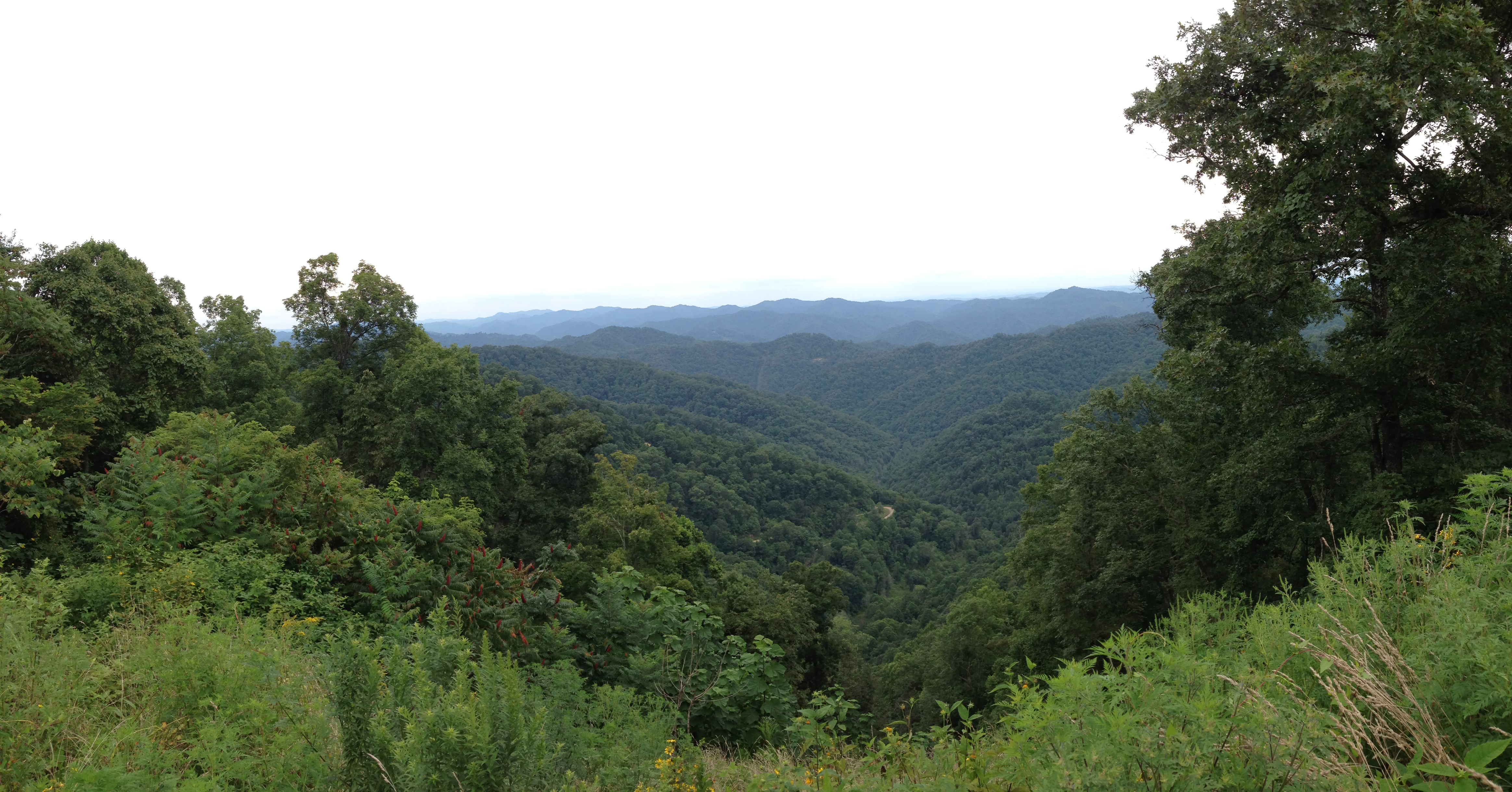
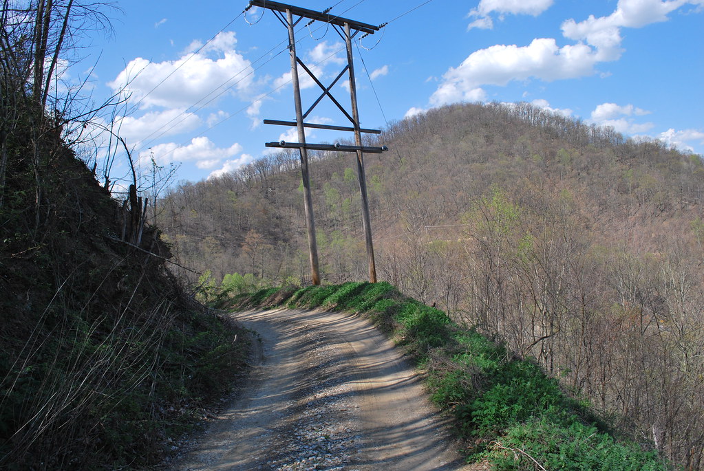
Hatfield & McCoy Trails

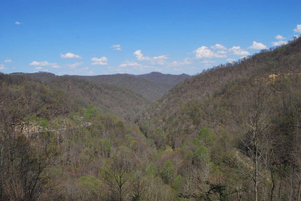
WV 10 at Buffalo Creek
Horsepen Mountain

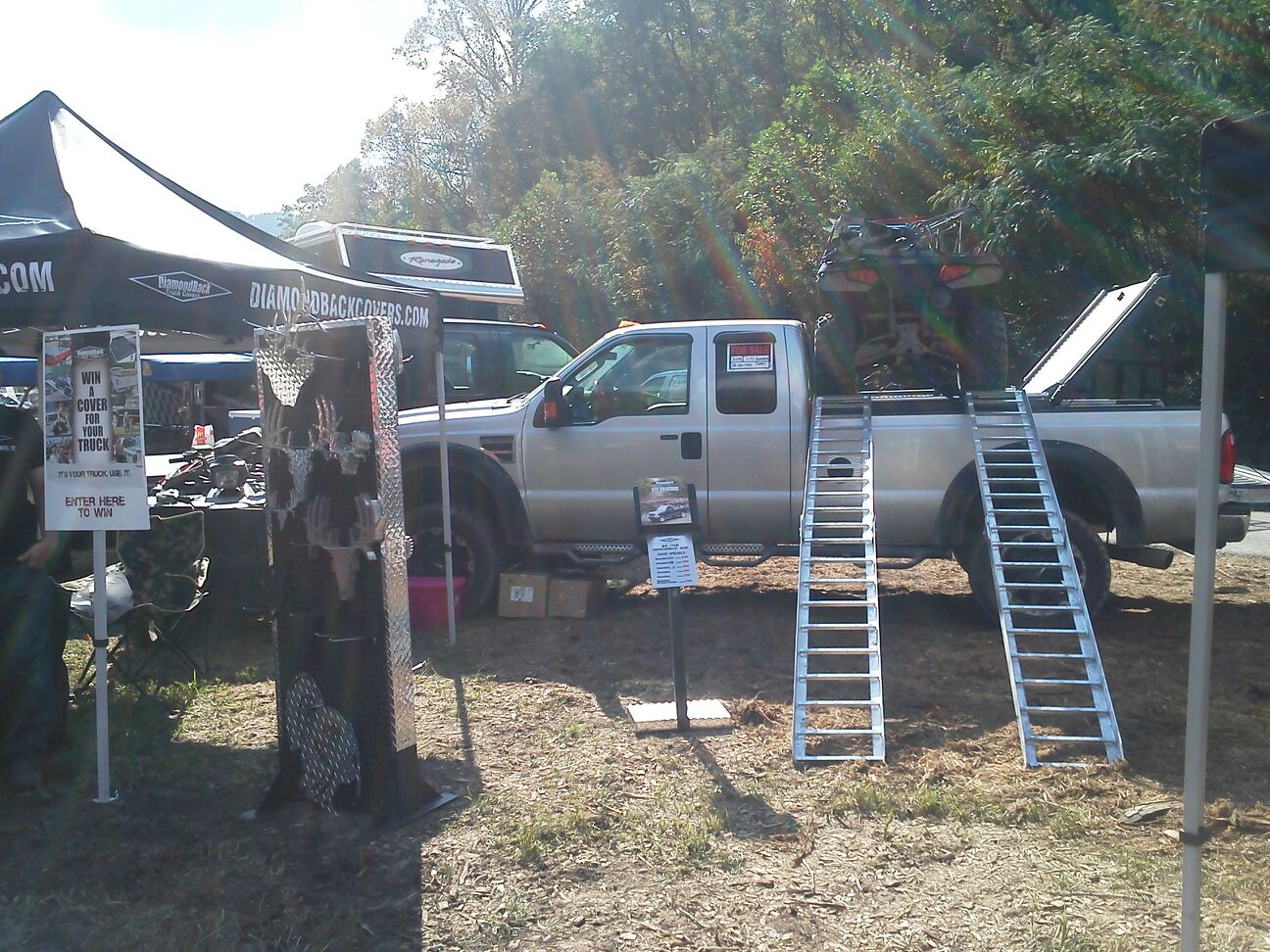
Renegades vs Gilbert

R.D. Bailey Lake

R.D. Bailey Lake
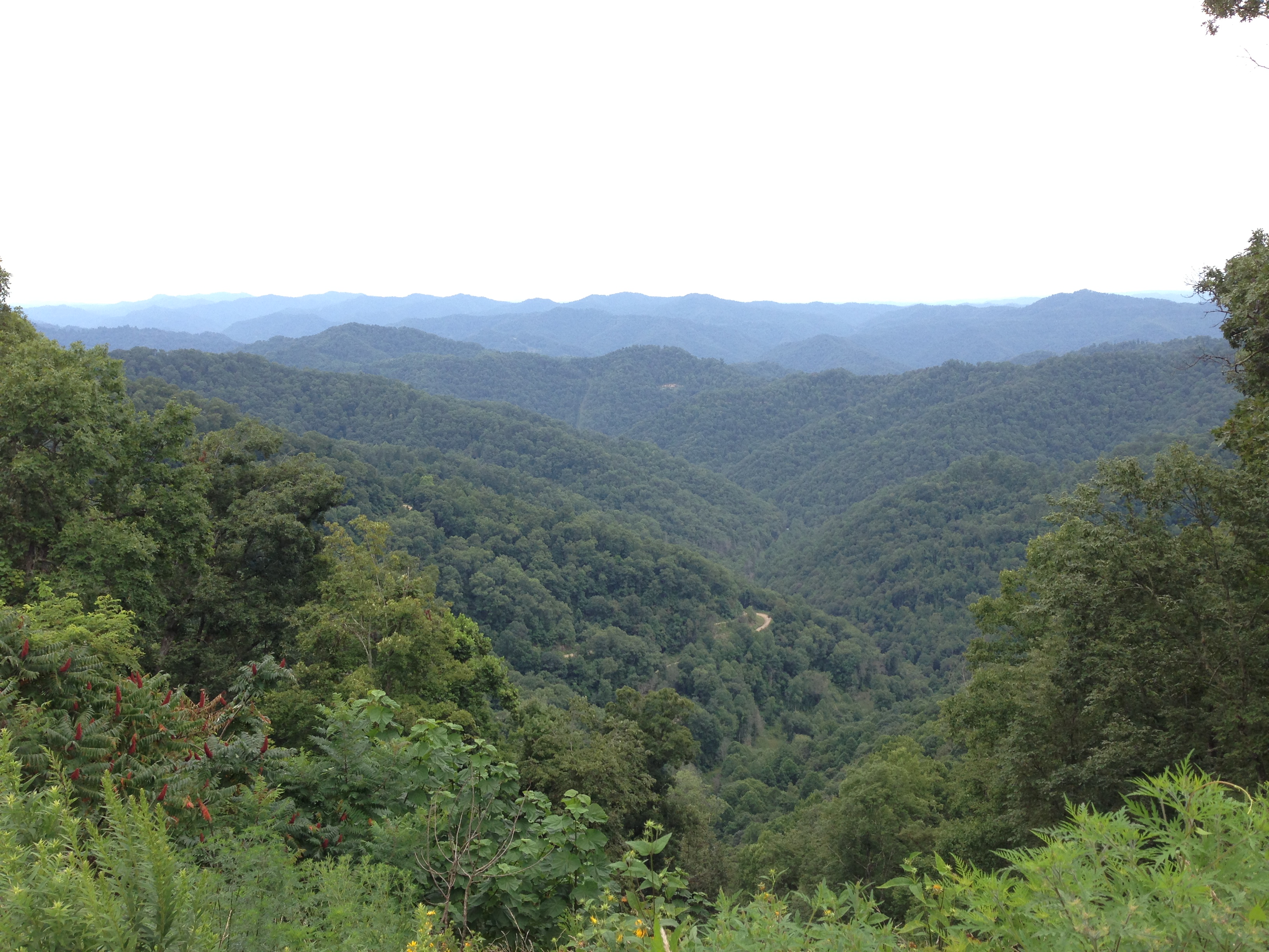
Hatfield & McCoy Trails
Hatfield & McCoy Trails

20081020-153043.jpg
Topographic Map of Gilbert, WV, USA
Find elevation by address:

Places in Gilbert, WV, USA:
Places near Gilbert, WV, USA:
31 4th Ave, Gilbert, WV, USA
Trail 12 Bbq
Twin Hollow Campground And Cabins
Twin Hollow Branch Road
Stafford
Verner
Bruno
Sandlick Branch Rd, Bruno, WV, USA
Hanover
WV-80, Man, WV, USA
Wharncliffe
Hensley Heights Rd, Man, WV, USA
Mallory
Davin
N Bridge St, Man, WV, USA
Man
Co Hwy 10/06, Davin, WV, USA
1076 Autumn Lane
67 Dimple Dr, Gilbert, WV, USA
Coal Mountain
Recent Searches:
- Elevation of Corso Fratelli Cairoli, 35, Macerata MC, Italy
- Elevation of Tallevast Rd, Sarasota, FL, USA
- Elevation of 4th St E, Sonoma, CA, USA
- Elevation of Black Hollow Rd, Pennsdale, PA, USA
- Elevation of Oakland Ave, Williamsport, PA, USA
- Elevation of Pedrógão Grande, Portugal
- Elevation of Klee Dr, Martinsburg, WV, USA
- Elevation of Via Roma, Pieranica CR, Italy
- Elevation of Tavkvetili Mountain, Georgia
- Elevation of Hartfords Bluff Cir, Mt Pleasant, SC, USA