Elevation of Coal Mountain, WV, USA
| Latitude | 37.6695541 |
|---|---|
| Longitude | -81.7284465 |
| Elevation | 403m / 1322feet |
| Barometric Pressure | 966KPa |
Related Photos:

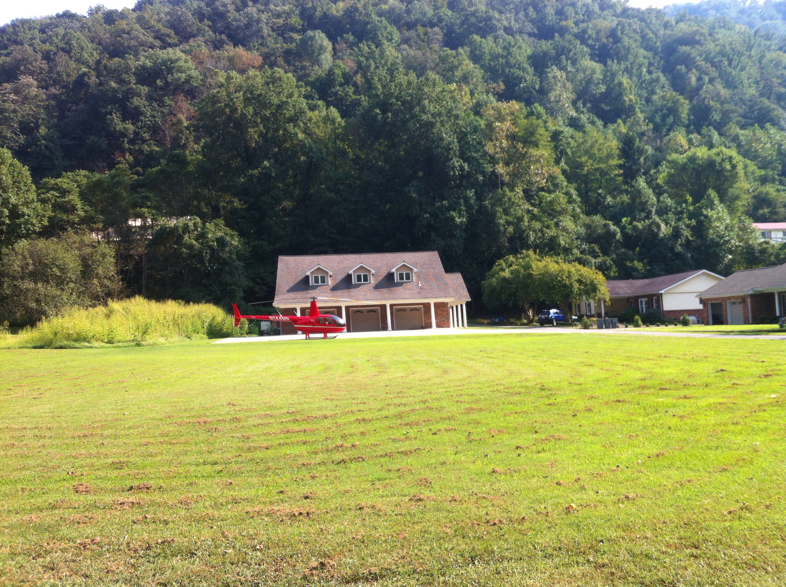
White over Night

Abandoned Man Hospital

Abandoned Man Hospital

Abandoned Man Hospital
Man, WV

Creek Bed

R.D. Bailey Lake

R.D. Bailey Lake

R.D. Bailey Lake

R.D. Bailey Lake

Indian Point

WV 10 at Buffalo Creek

R.D. Bailey Lake

R.D. Bailey Lake
Topographic Map of Coal Mountain, WV, USA
Find elevation by address:
Places near Coal Mountain, WV, USA:
Clear Fork
Clear Fork Rd, Oceana, WV, USA
3, WV, USA
1076 Autumn Lane
Oceana
Co Hwy 10/06, Davin, WV, USA
Davin
Stafford
Verner
Mallory
Bruno
Sandlick Branch Rd, Bruno, WV, USA
WV-80, Man, WV, USA
20 Picket Ln, Accoville, WV, USA
Accoville
Trail 12 Bbq
Twin Hollow Campground And Cabins
Twin Hollow Branch Road
Hensley Heights Rd, Man, WV, USA
N Bridge St, Man, WV, USA
Recent Searches:
- Elevation of 104, Chancery Road, Middletown Township, Bucks County, Pennsylvania, 19047, USA
- Elevation of 1212, Cypress Lane, Dayton, Liberty County, Texas, 77535, USA
- Elevation map of Central Hungary, Hungary
- Elevation map of Pest, Central Hungary, Hungary
- Elevation of Pilisszentkereszt, Pest, Central Hungary, Hungary
- Elevation of Dharamkot Tahsil, Punjab, India
- Elevation of Bhinder Khurd, Dharamkot Tahsil, Punjab, India
- Elevation of 2881, Chabot Drive, San Bruno, San Mateo County, California, 94066, USA
- Elevation of 10370, West 107th Circle, Westminster, Jefferson County, Colorado, 80021, USA
- Elevation of 611, Roman Road, Old Ford, Bow, London, England, E3 2RW, United Kingdom
- Elevation of 116, Beartown Road, Underhill, Chittenden County, Vermont, 05489, USA
- Elevation of Window Rock, Colfax County, New Mexico, 87714, USA
- Elevation of 4807, Rosecroft Street, Kempsville Gardens, Virginia Beach, Virginia, 23464, USA
- Elevation map of Matawinie, Quebec, Canada
- Elevation of Sainte-Émélie-de-l'Énergie, Matawinie, Quebec, Canada
- Elevation of Rue du Pont, Sainte-Émélie-de-l'Énergie, Matawinie, Quebec, J0K2K0, Canada
- Elevation of 8, Rue de Bécancour, Blainville, Thérèse-De Blainville, Quebec, J7B1N2, Canada
- Elevation of Wilmot Court North, 163, University Avenue West, Northdale, Waterloo, Region of Waterloo, Ontario, N2L6B6, Canada
- Elevation map of Panamá Province, Panama
- Elevation of Balboa, Panamá Province, Panama