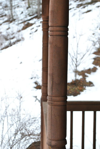
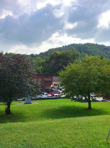
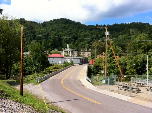
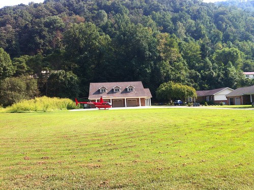
Elevation of Clear Fork Rd, Oceana, WV, USA
Location: United States > West Virginia > Wyoming County > > Oceana >
Longitude: -81.655297
Latitude: 37.6879315
Elevation: 377m / 1237feet
Barometric Pressure: 97KPa
Related Photos:
Topographic Map of Clear Fork Rd, Oceana, WV, USA
Find elevation by address:

Places near Clear Fork Rd, Oceana, WV, USA:
Oceana
3, WV, USA
Clear Fork
Coal Mountain
1076 Autumn Lane
Co Hwy 10/06, Davin, WV, USA
Davin
Mallory
Verner
Stafford
20 Picket Ln, Accoville, WV, USA
Accoville
Bruno
WV-80, Man, WV, USA
Sandlick Branch Rd, Bruno, WV, USA
N Bridge St, Man, WV, USA
Hensley Heights Rd, Man, WV, USA
Man
Trail 12 Bbq
Twin Hollow Campground And Cabins
Recent Searches:
- Elevation of Corso Fratelli Cairoli, 35, Macerata MC, Italy
- Elevation of Tallevast Rd, Sarasota, FL, USA
- Elevation of 4th St E, Sonoma, CA, USA
- Elevation of Black Hollow Rd, Pennsdale, PA, USA
- Elevation of Oakland Ave, Williamsport, PA, USA
- Elevation of Pedrógão Grande, Portugal
- Elevation of Klee Dr, Martinsburg, WV, USA
- Elevation of Via Roma, Pieranica CR, Italy
- Elevation of Tavkvetili Mountain, Georgia
- Elevation of Hartfords Bluff Cir, Mt Pleasant, SC, USA


