Elevation of West Mahoning Township, PA, USA
Location: United States > Pennsylvania > Indiana County >
Longitude: -79.132274
Latitude: 40.8674411
Elevation: 454m / 1489feet
Barometric Pressure: 96KPa
Elevation Map:
Satellite Map:
Related Photos:

BO, Locust, Pennsylvania, 1954

Look at the View

The View of Barclay Square from the Bandstand

The Bandstand in Barclay Square

Groundhog Zoo
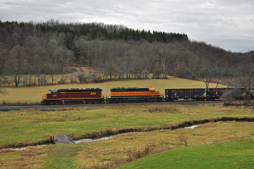
Outsiders and B&P Mainline Countryside

John B. McCormick House

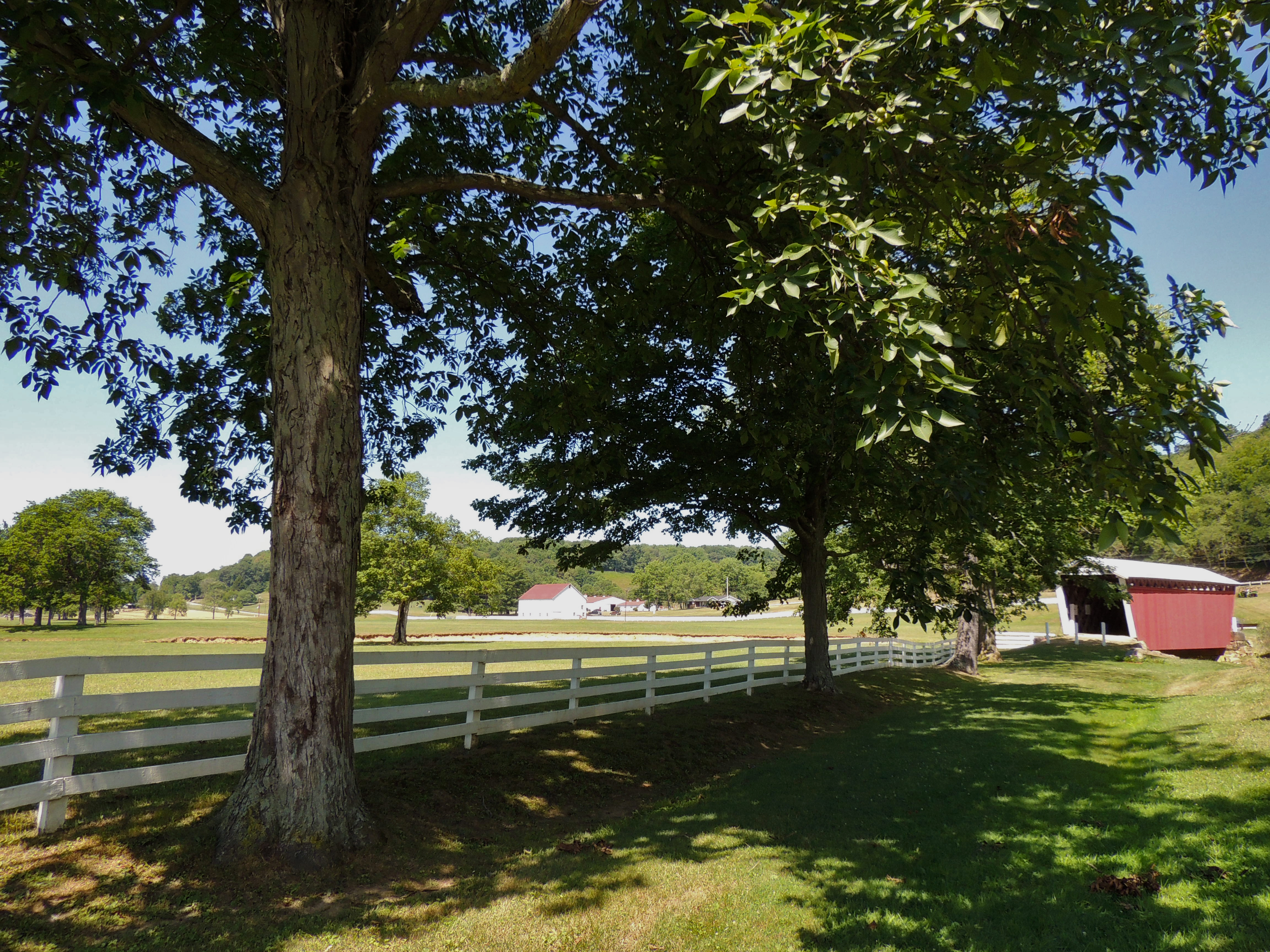
Harmons Covered Bridge

Harmons Covered Bridge

Harmons Covered Bridge

Harmons Covered Bridge

Long White Fence

Harmons Covered Bridge

South Branch Plum Creek

Harmons Covered Bridge

Harmons Covered Bridge

Harmons Covered Bridge
Harmons Covered Bridge

Country Scene

Mahoning Creek

#adventure #tour2013 #Pennsylvania #afterlight #overgram #photooftheday #amaro #journey #travel #hills

Trusal Covered Bridge

Trusal Covered Bridge

Camera Roll-149

Camera Roll-146

Camera Roll-140
Topographic Map of West Mahoning Township, PA, USA
Find elevation by address:

Places in West Mahoning Township, PA, USA:
Places near West Mahoning Township, PA, USA:
24799 Pa-954
891 Hemlock Acres Rd
Smicksburg
Porter Rd, Punxsutawney, PA, USA
Porter Township
1110 Dinger Rd
Dogwood Ln, Dayton, PA, USA
Dayton
PA-85, Dayton, PA, USA
919 Kittanning St
9308 Pa-85
Cowanshannock Township
Belknap Road
Curleys Road
Wayne Township
Rural Valley
W Main St, Rural Valley, PA, USA
State Rte, Kittanning, PA, USA
PA-85, Kittanning, PA, USA
Boggs Township
Recent Searches:
- Elevation of Corso Fratelli Cairoli, 35, Macerata MC, Italy
- Elevation of Tallevast Rd, Sarasota, FL, USA
- Elevation of 4th St E, Sonoma, CA, USA
- Elevation of Black Hollow Rd, Pennsdale, PA, USA
- Elevation of Oakland Ave, Williamsport, PA, USA
- Elevation of Pedrógão Grande, Portugal
- Elevation of Klee Dr, Martinsburg, WV, USA
- Elevation of Via Roma, Pieranica CR, Italy
- Elevation of Tavkvetili Mountain, Georgia
- Elevation of Hartfords Bluff Cir, Mt Pleasant, SC, USA