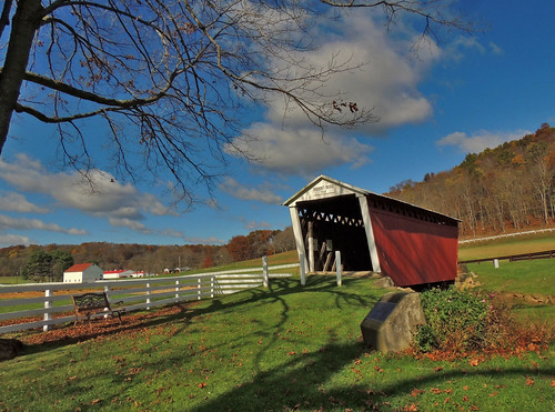
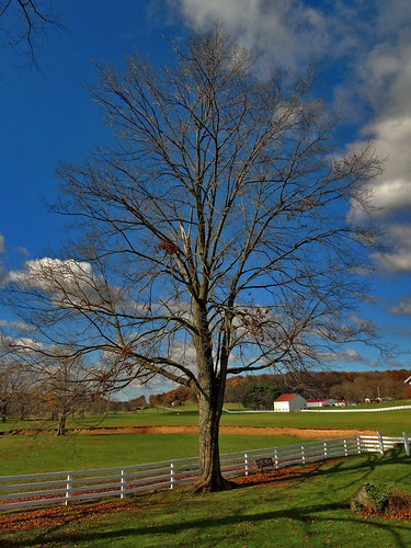
Elevation of Smicksburg, PA, USA
Location: United States > Pennsylvania > Indiana County > West Mahoning Township >
Longitude: -79.170870
Latitude: 40.8697871
Elevation: 359m / 1178feet
Barometric Pressure: 97KPa
Related Photos:
Topographic Map of Smicksburg, PA, USA
Find elevation by address:

Places near Smicksburg, PA, USA:
891 Hemlock Acres Rd
West Mahoning Township
24799 Pa-954
Dogwood Ln, Dayton, PA, USA
Porter Rd, Punxsutawney, PA, USA
Porter Township
Dayton
1110 Dinger Rd
919 Kittanning St
PA-85, Dayton, PA, USA
9308 Pa-85
Cowanshannock Township
Belknap Road
Wayne Township
Curleys Road
Rural Valley
W Main St, Rural Valley, PA, USA
State Rte, Kittanning, PA, USA
PA-85, Kittanning, PA, USA
Boggs Township
Recent Searches:
- Elevation of Corso Fratelli Cairoli, 35, Macerata MC, Italy
- Elevation of Tallevast Rd, Sarasota, FL, USA
- Elevation of 4th St E, Sonoma, CA, USA
- Elevation of Black Hollow Rd, Pennsdale, PA, USA
- Elevation of Oakland Ave, Williamsport, PA, USA
- Elevation of Pedrógão Grande, Portugal
- Elevation of Klee Dr, Martinsburg, WV, USA
- Elevation of Via Roma, Pieranica CR, Italy
- Elevation of Tavkvetili Mountain, Georgia
- Elevation of Hartfords Bluff Cir, Mt Pleasant, SC, USA


