Elevation of Dinger Rd, Punxsutawney, PA, USA
Location: United States > Pennsylvania > Jefferson County > Punxsutawney >
Longitude: -79.13377
Latitude: 40.944047
Elevation: 507m / 1663feet
Barometric Pressure: 95KPa
Elevation Map:
Satellite Map:
Related Photos:
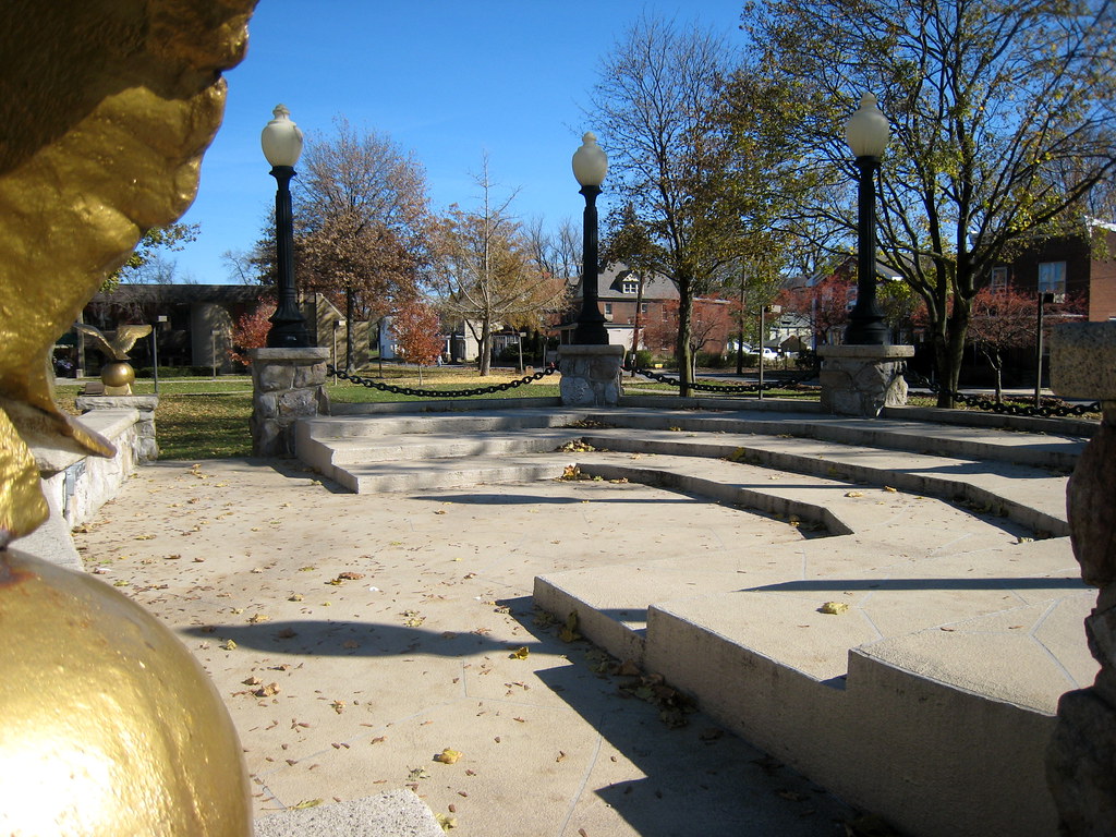
The Bandstand in Barclay Square
Phil's View on Feb Two

Look at the View

"Look at the View"
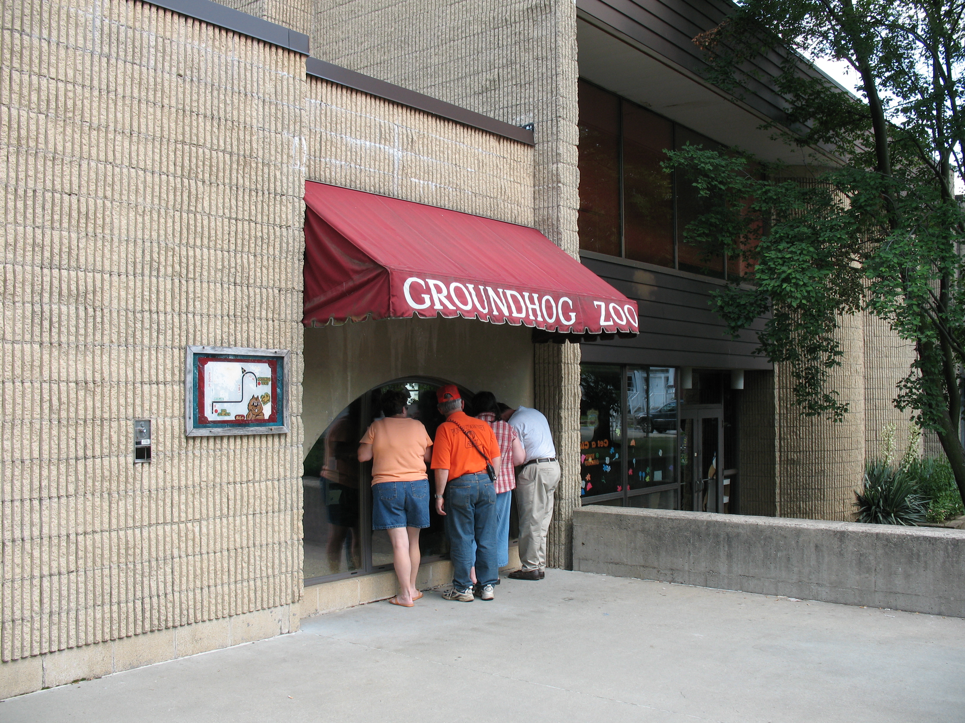
Groundhog Zoo
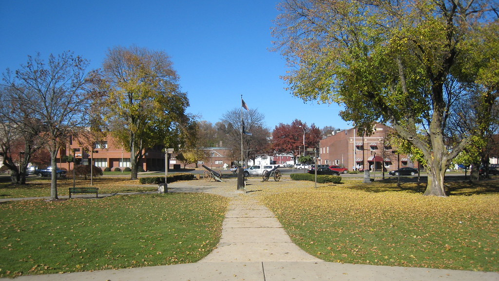
The View of Barclay Square from the Bandstand
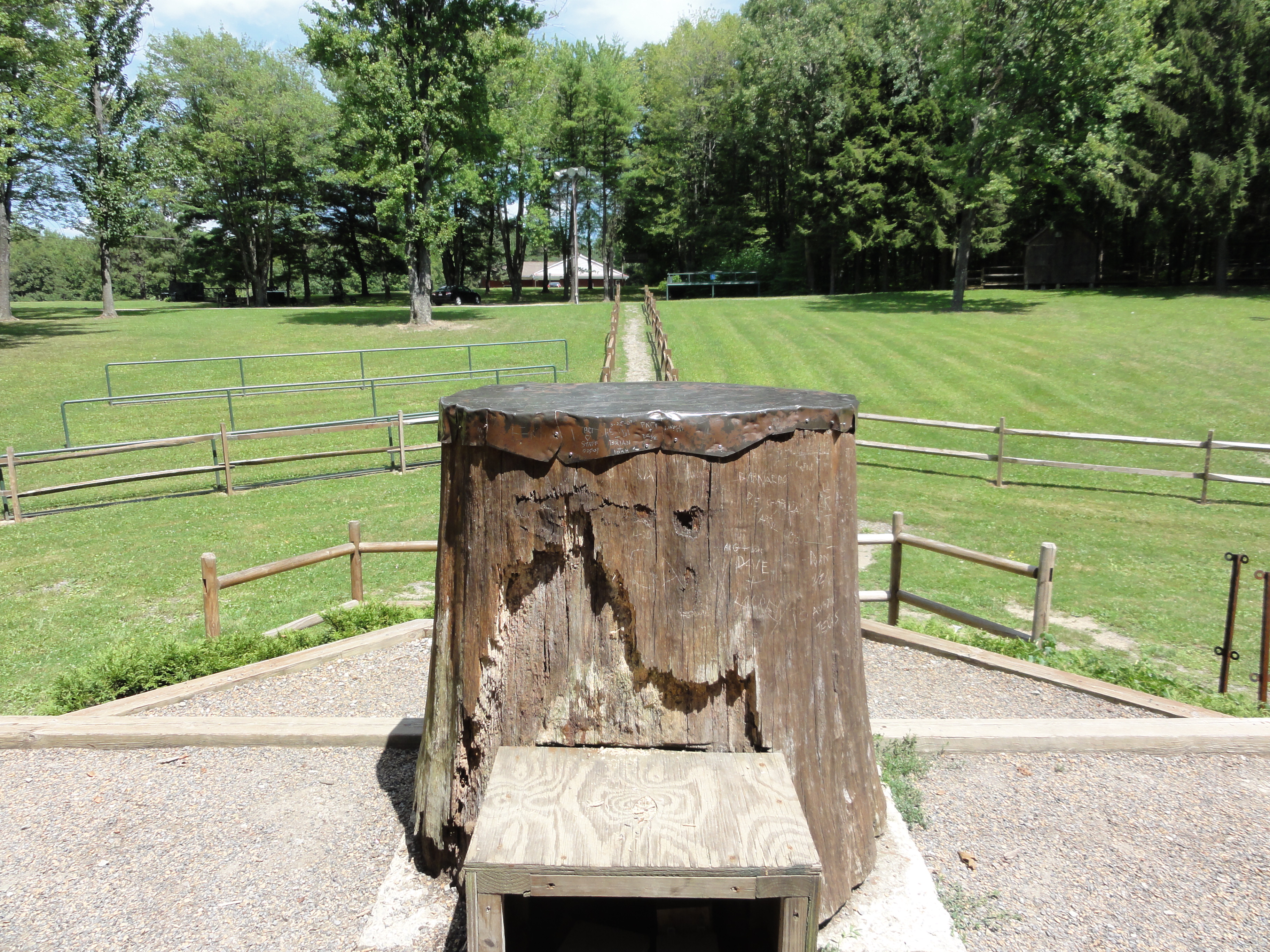
View from Behind the Stump
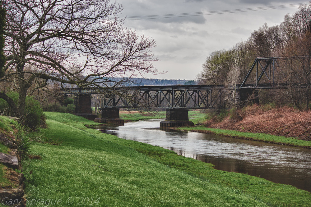
Mahoning Creek Lake / Abandoned Railroad Bridge , Punxsutawney

Redbank Trail 11082017

Camera Roll-142

Camera Roll-134

Camera Roll-131
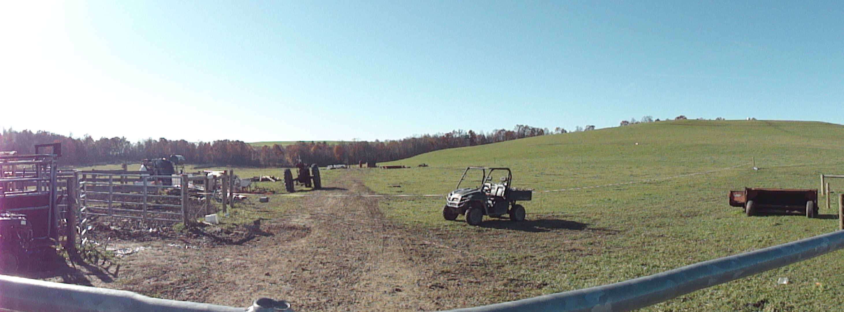
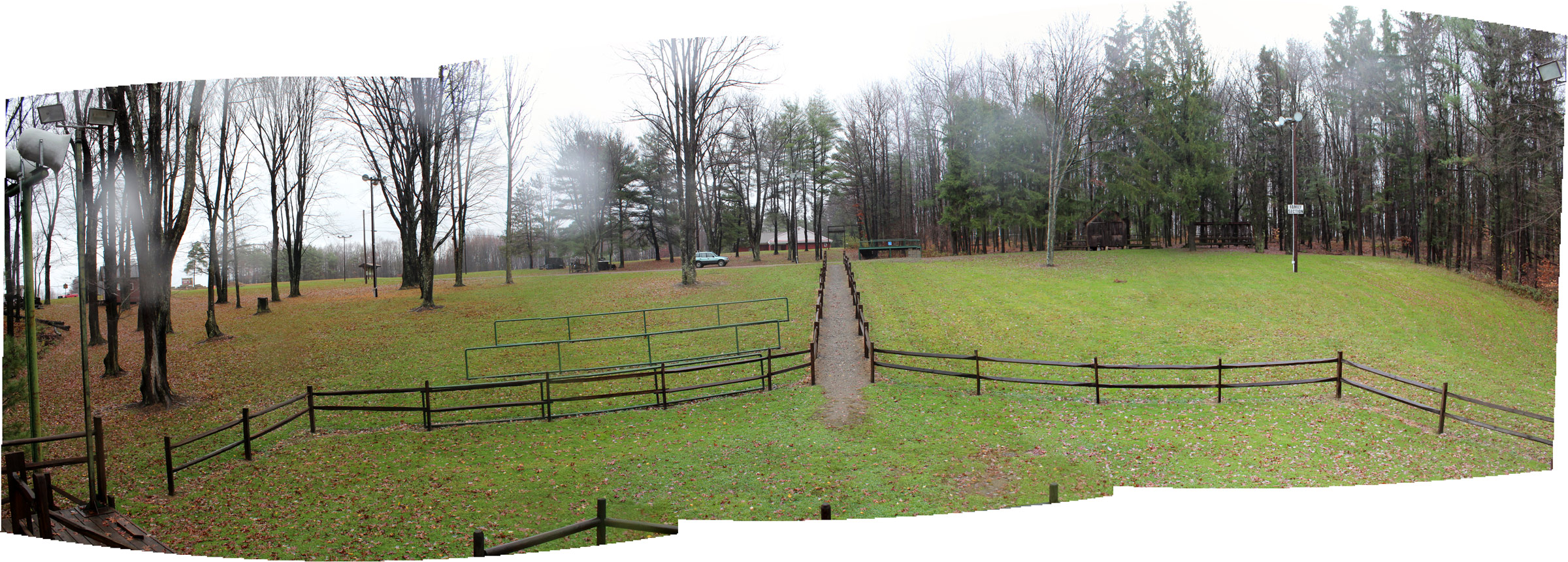
Panoramic of Back Farm

Camera Roll-135

Camera Roll-140

panoramic of the back farm

Camera Roll-137
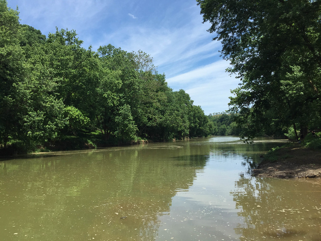
Mahoning Creek

Camera Roll-130

Camera Roll-136

Camera Roll-149

Camera Roll-138

Camera Roll-126

Camera Roll-128

Camera Roll-127

Camera Roll-139

Camera Roll-129
Topographic Map of Dinger Rd, Punxsutawney, PA, USA
Find elevation by address:

Places near Dinger Rd, Punxsutawney, PA, USA:
Porter Rd, Punxsutawney, PA, USA
Porter Township
891 Hemlock Acres Rd
24799 Pa-954
West Mahoning Township
Smicksburg
Dogwood Ln, Dayton, PA, USA
Dayton
919 Kittanning St
Curleys Road
Belknap Road
PA-85, Dayton, PA, USA
Wayne Township
9308 Pa-85
Cowanshannock Township
W Main St, Rural Valley, PA, USA
Rural Valley
State Rte, Kittanning, PA, USA
Boggs Township
PA-85, Kittanning, PA, USA
Recent Searches:
- Elevation of Corso Fratelli Cairoli, 35, Macerata MC, Italy
- Elevation of Tallevast Rd, Sarasota, FL, USA
- Elevation of 4th St E, Sonoma, CA, USA
- Elevation of Black Hollow Rd, Pennsdale, PA, USA
- Elevation of Oakland Ave, Williamsport, PA, USA
- Elevation of Pedrógão Grande, Portugal
- Elevation of Klee Dr, Martinsburg, WV, USA
- Elevation of Via Roma, Pieranica CR, Italy
- Elevation of Tavkvetili Mountain, Georgia
- Elevation of Hartfords Bluff Cir, Mt Pleasant, SC, USA