Elevation of West Island, Cocos (Keeling) Islands
Location: Cocos (keeling) Islands >
Longitude: 96.8317501
Latitude: -12.171093
Elevation: 15m / 49feet
Barometric Pressure: 101KPa
Elevation Map:
Satellite Map:
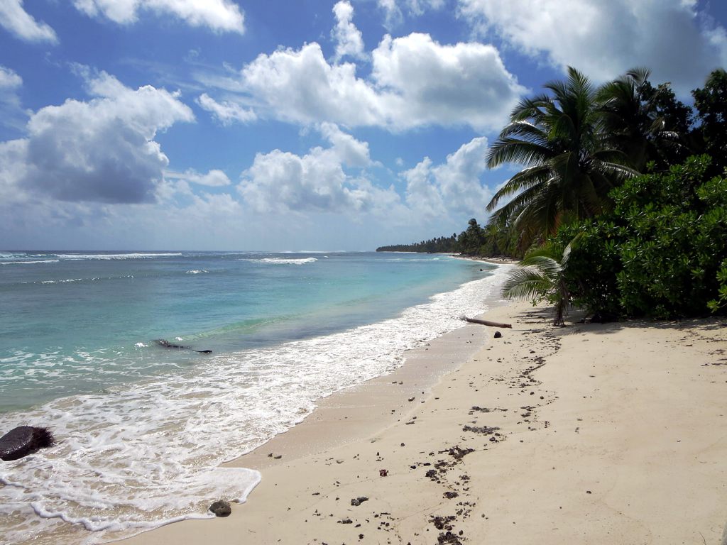
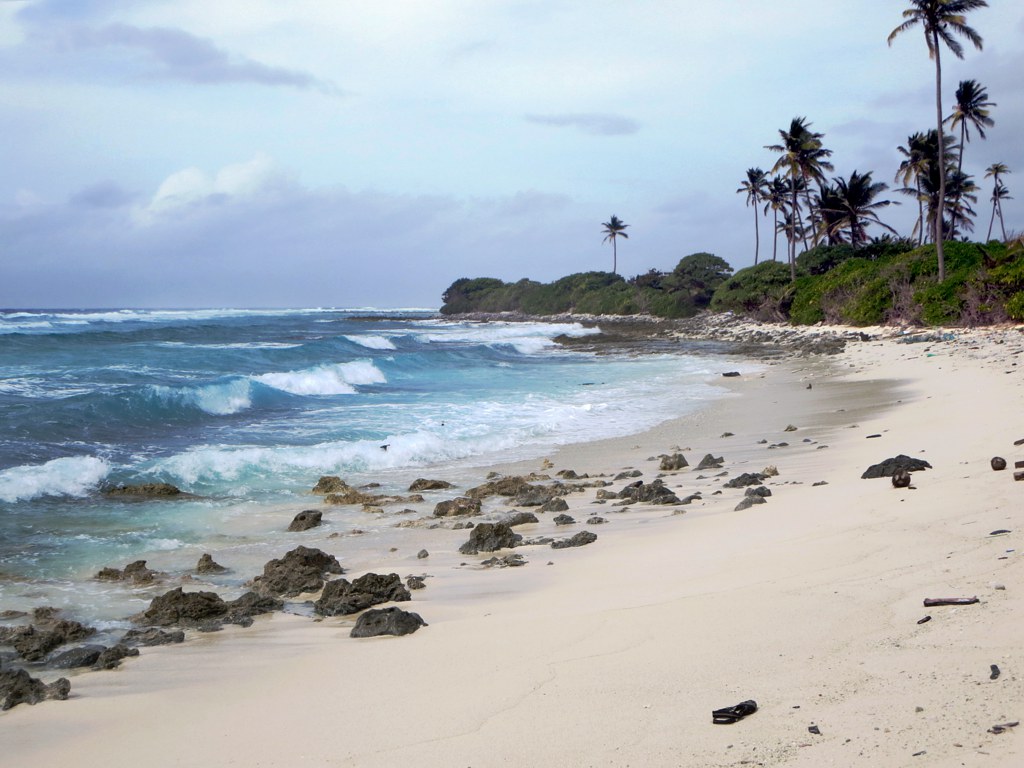
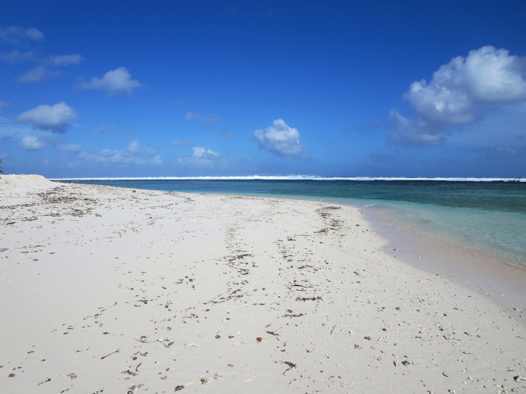
Related Photos:

View from hotel sunset version

View from hotel
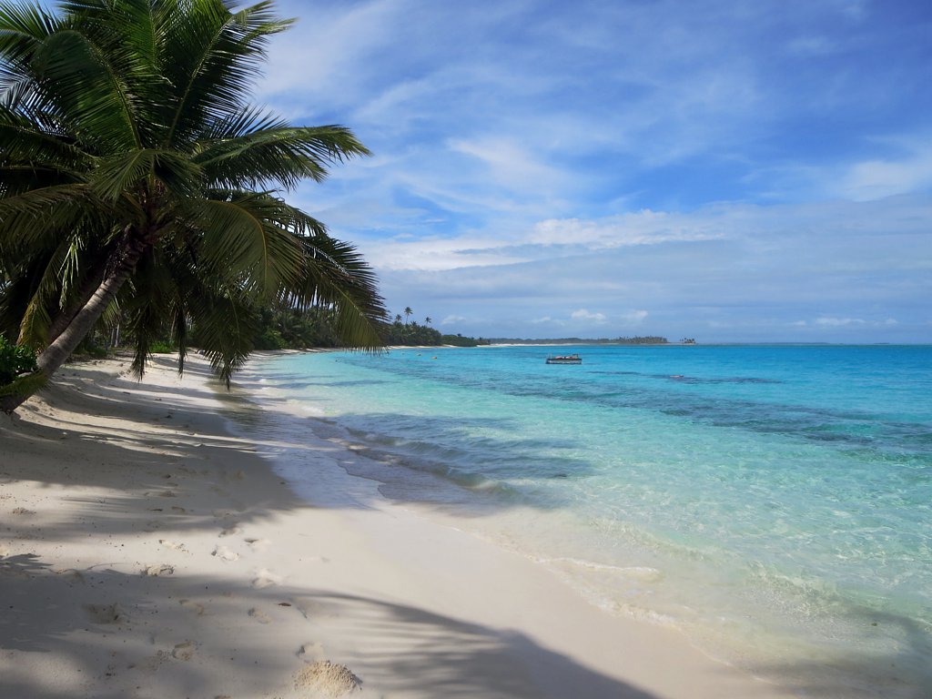
Direction Island Beach

PENT0352.jpg

West Island Sunset

PENT0371-Edit.jpg
PENT0291.jpg
PENT0297.jpg
PENT0312.jpg
PENT0370.jpg

Pulu Maria

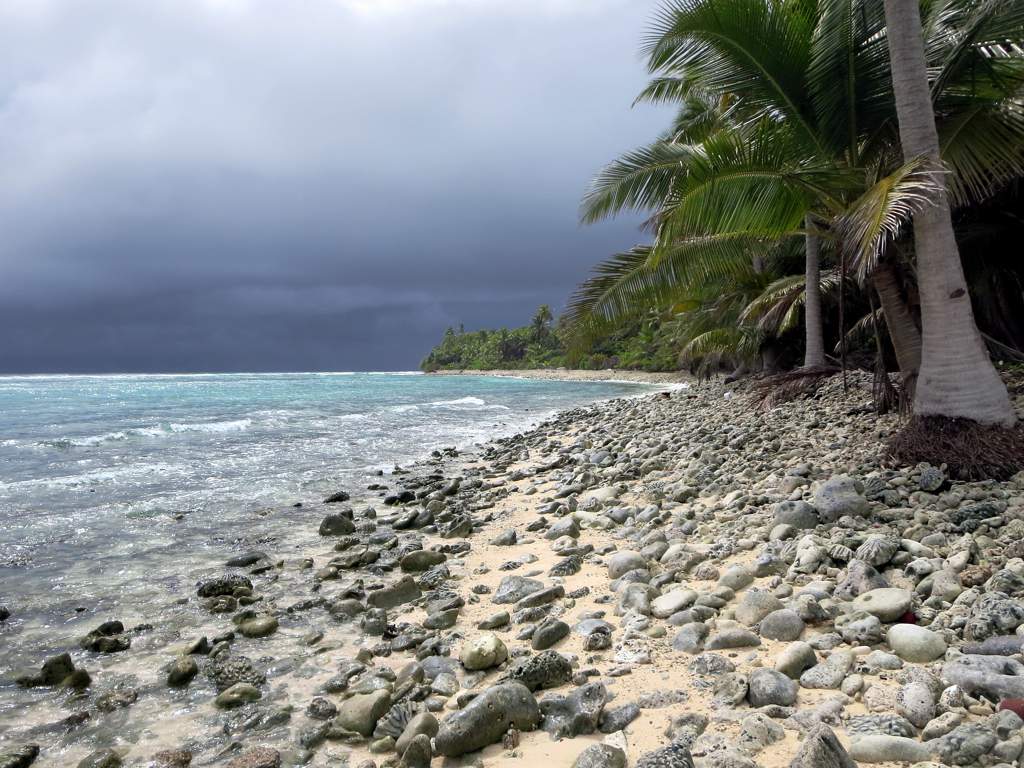
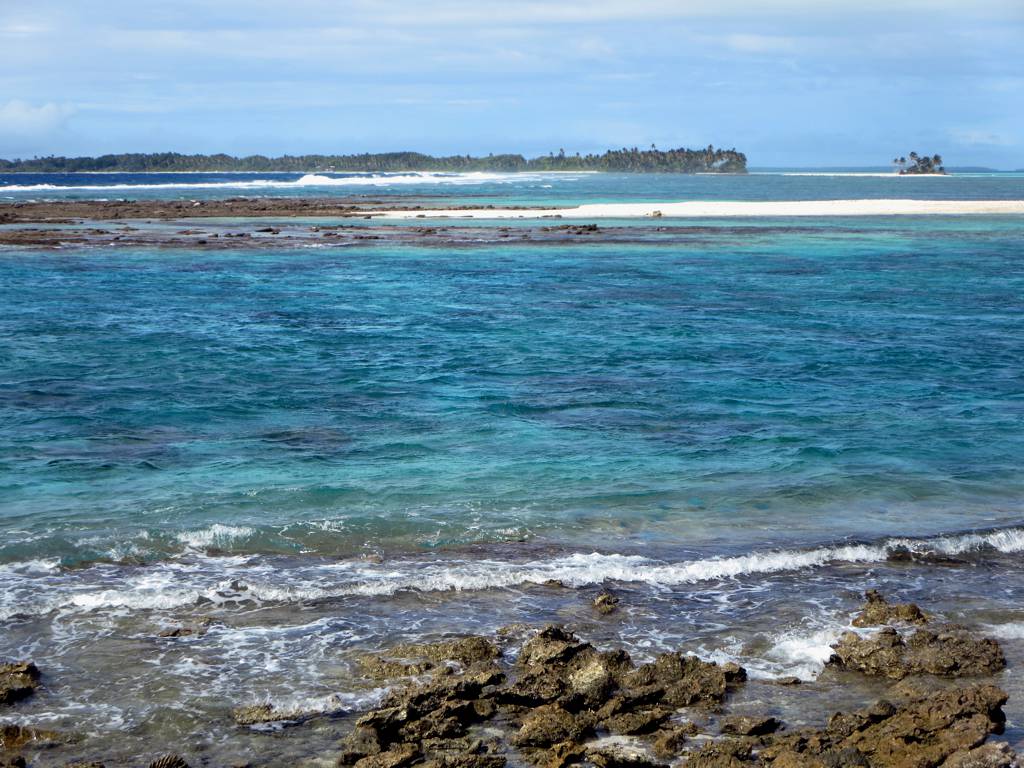
Lagoon Waves
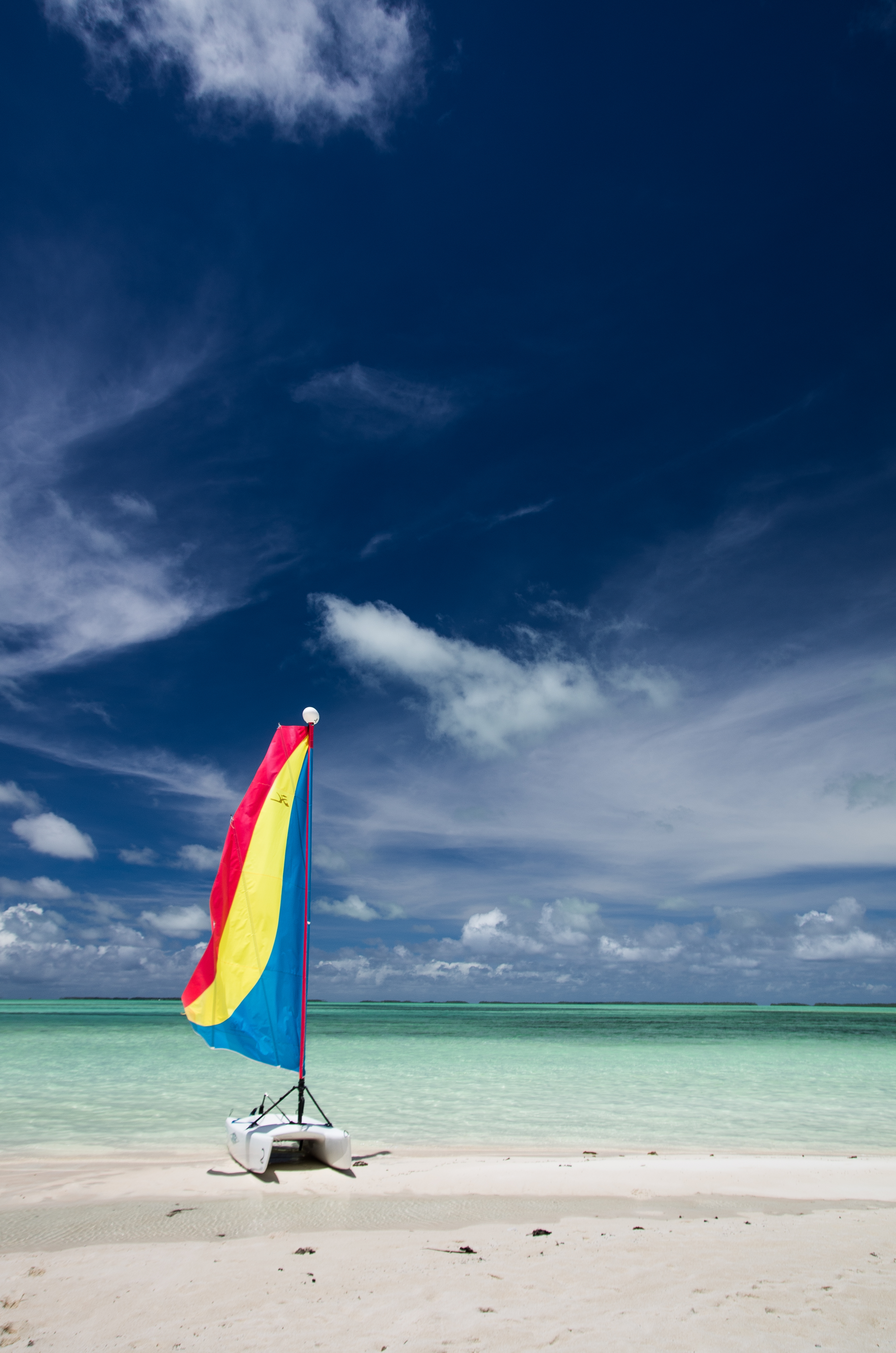
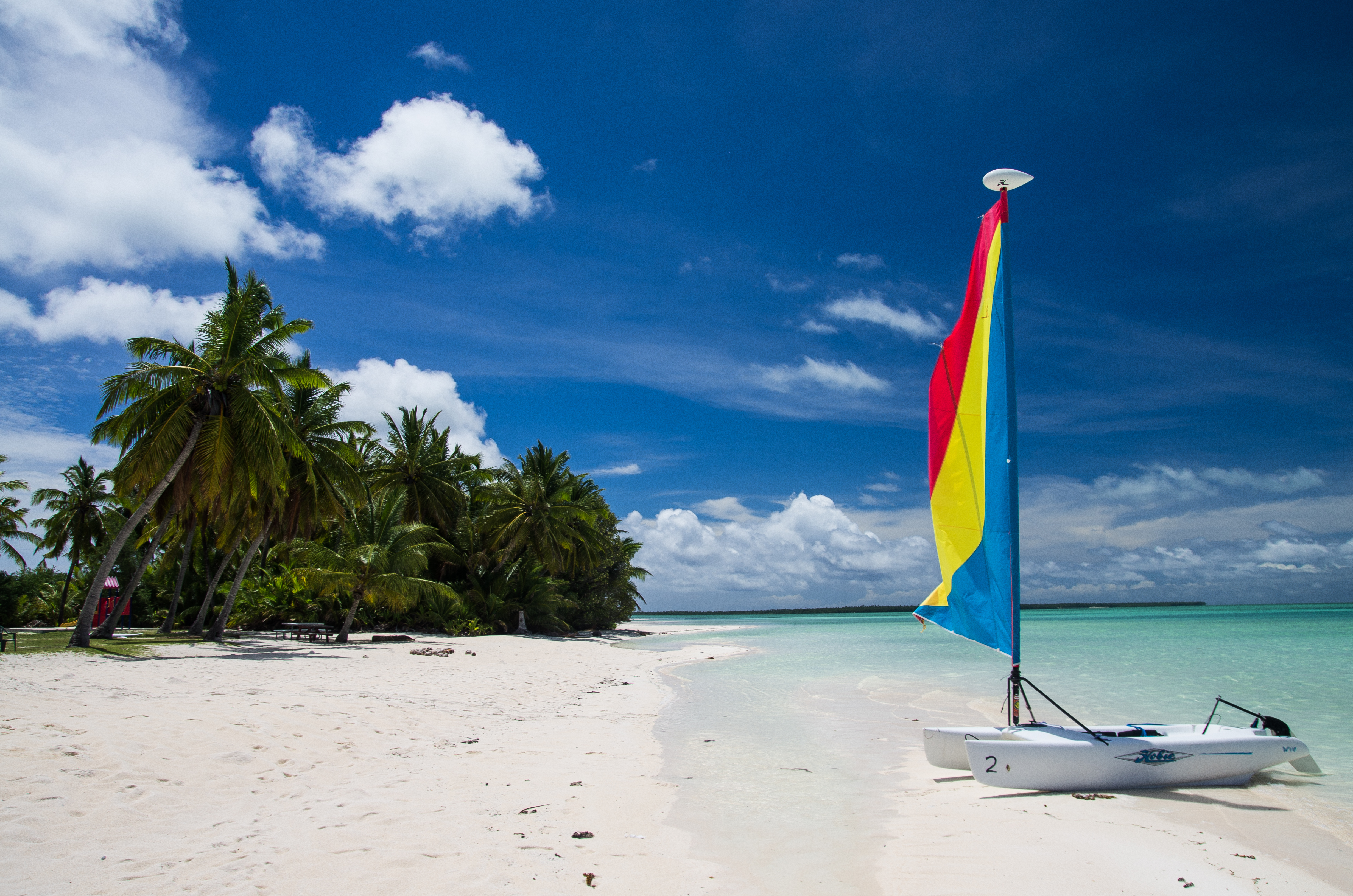
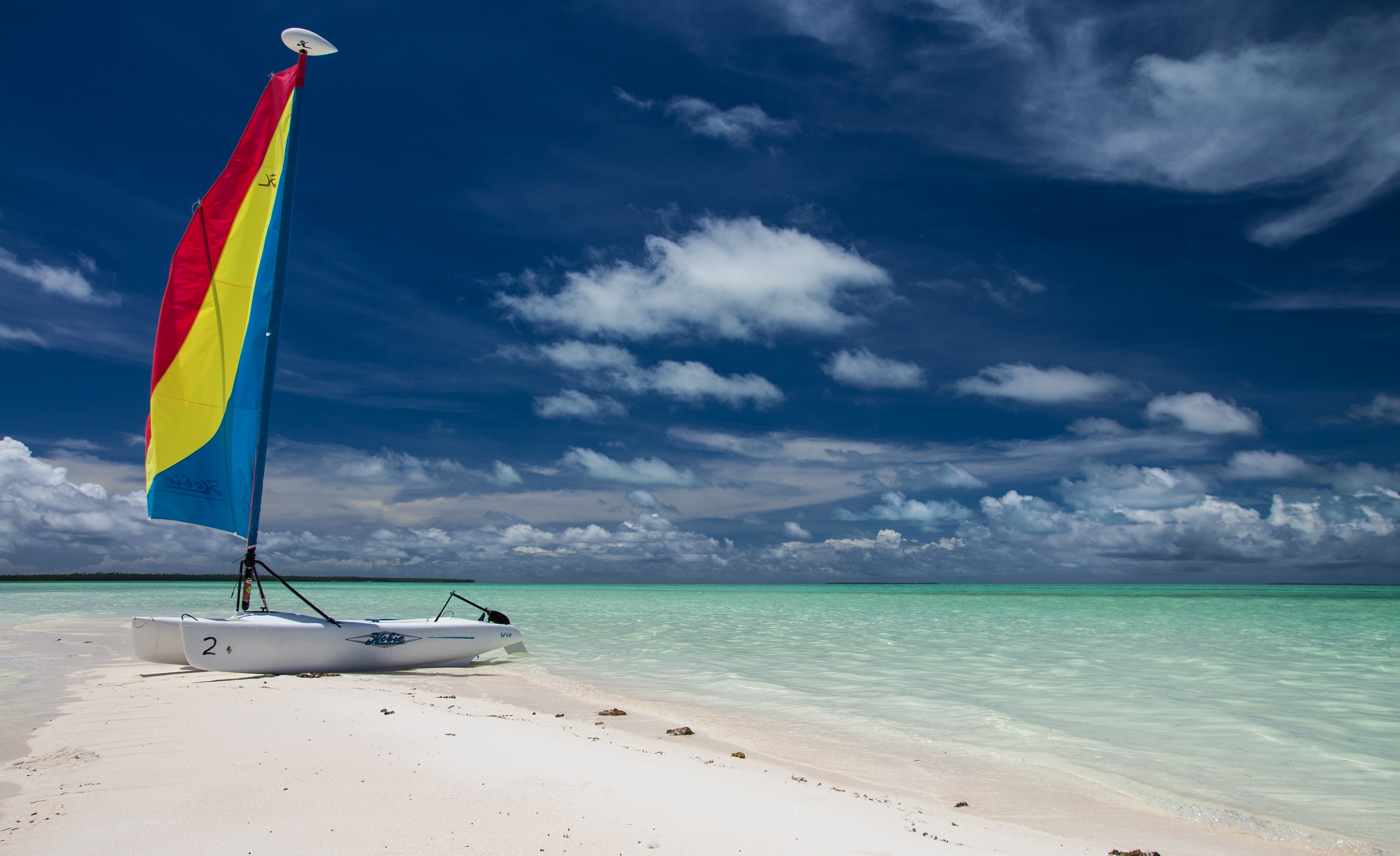
Port Refuge
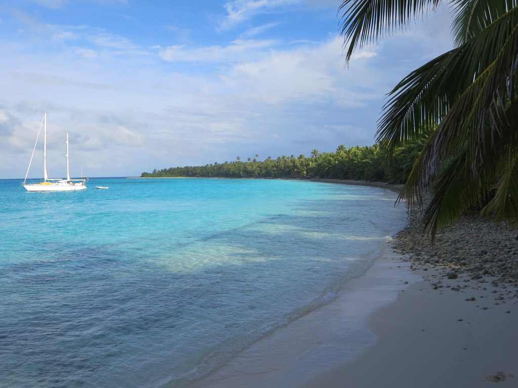
Cruising Yachts
Coconut Plantation
West Coast
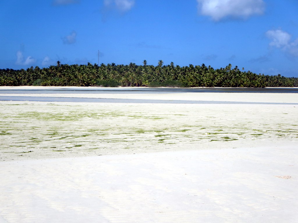
South Lagoon
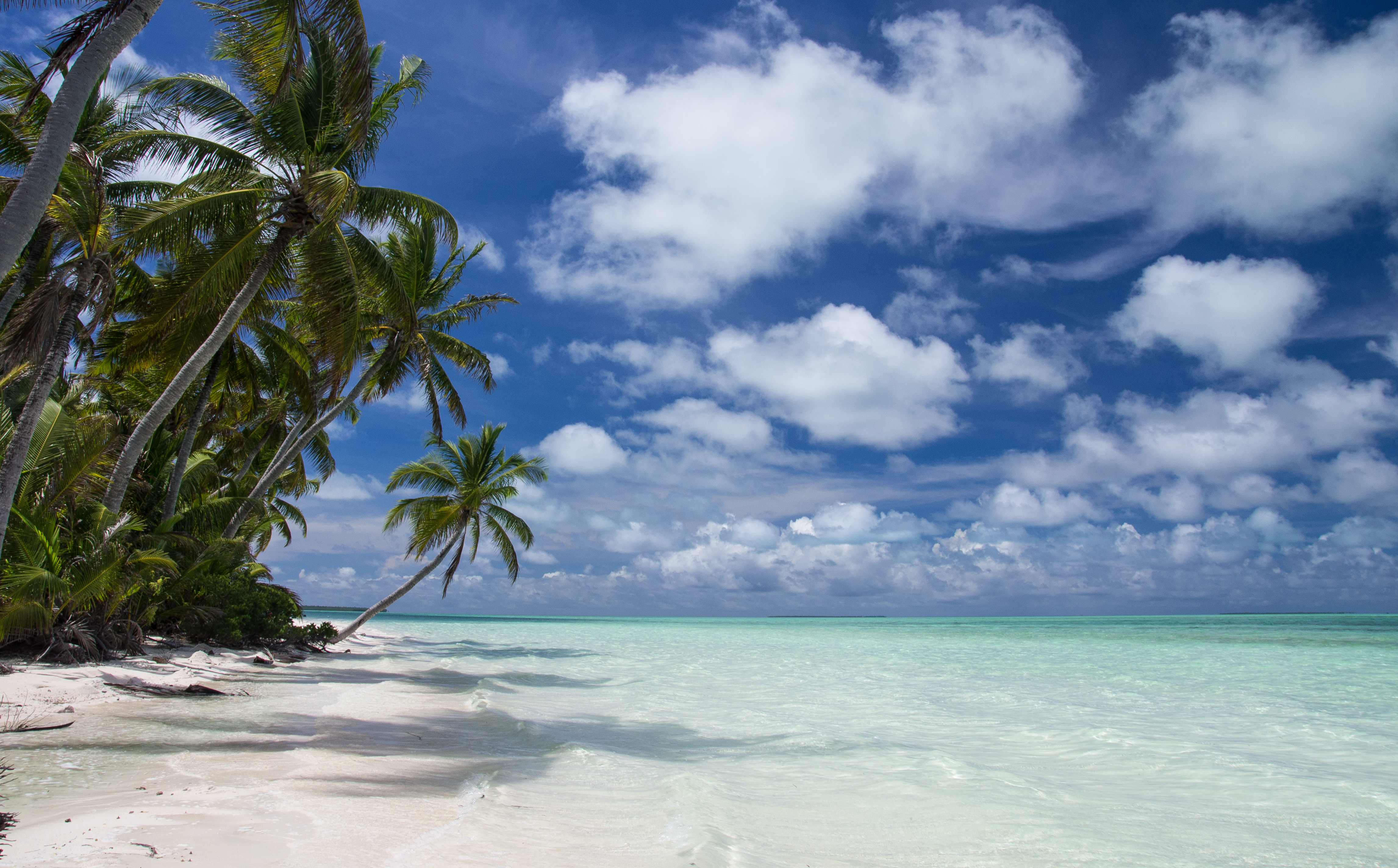
Ocean Beach
North Point

Ocean Beach

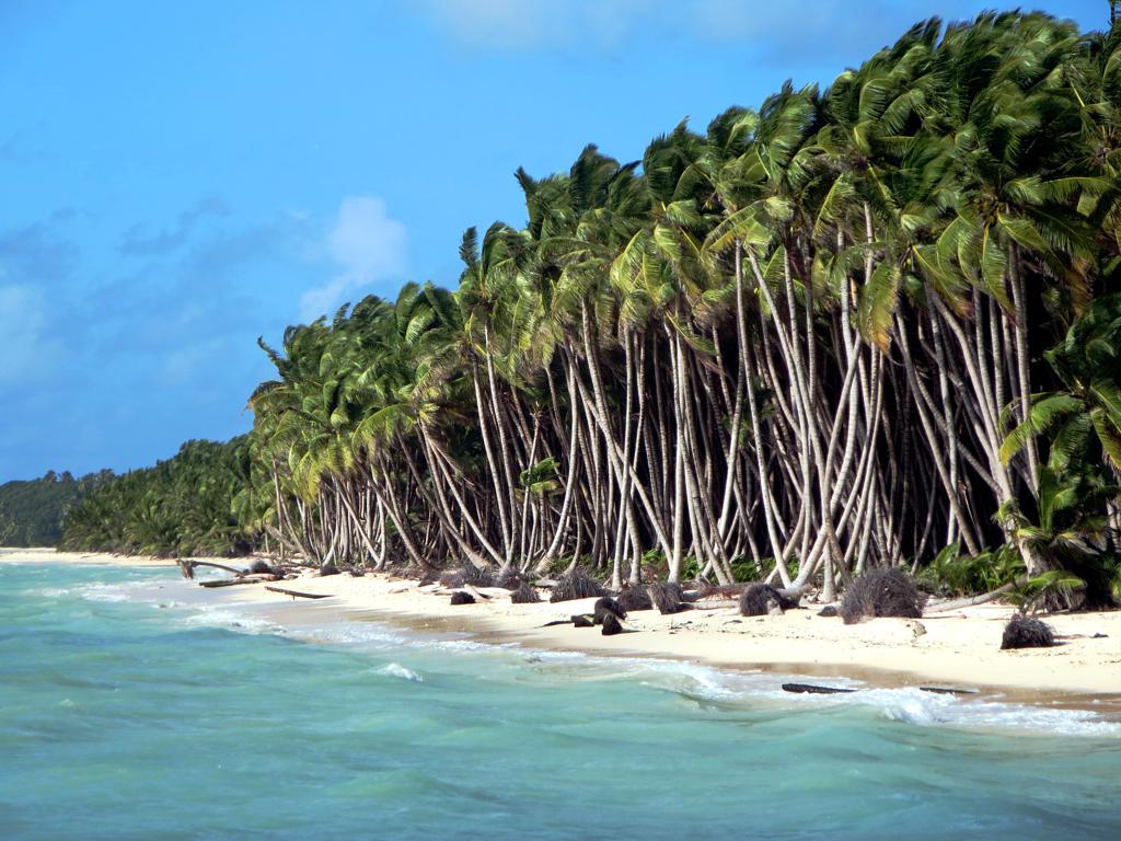
Coconut Trees
The Rip
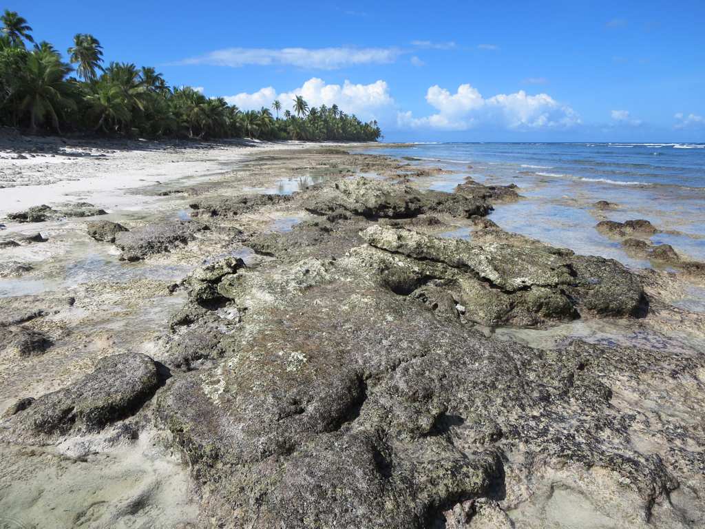
Tidal Pools
Topographic Map of West Island, Cocos (Keeling) Islands
Find elevation by address:

Places in West Island, Cocos (Keeling) Islands:
Places near West Island, Cocos (Keeling) Islands:
Recent Searches:
- Elevation of Corso Fratelli Cairoli, 35, Macerata MC, Italy
- Elevation of Tallevast Rd, Sarasota, FL, USA
- Elevation of 4th St E, Sonoma, CA, USA
- Elevation of Black Hollow Rd, Pennsdale, PA, USA
- Elevation of Oakland Ave, Williamsport, PA, USA
- Elevation of Pedrógão Grande, Portugal
- Elevation of Klee Dr, Martinsburg, WV, USA
- Elevation of Via Roma, Pieranica CR, Italy
- Elevation of Tavkvetili Mountain, Georgia
- Elevation of Hartfords Bluff Cir, Mt Pleasant, SC, USA