Elevation of Cocos (Keeling) Islands

Longitude: 96.8417478

Latitude: -12.170691

Elevation: 0m / 0feet

Barometric Pressure: 101KPa

Elevation Map:

elevation map of Cocos (Keeling) Islands

Satellite Map:

Satellite map of Cocos (Keeling) Islands

Related Photos:

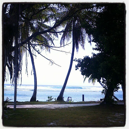
View from hotel sunset version
View from hotel
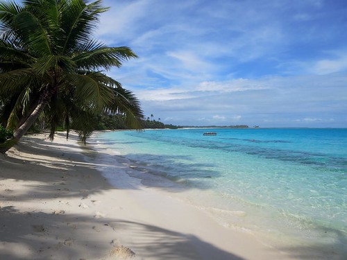
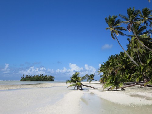
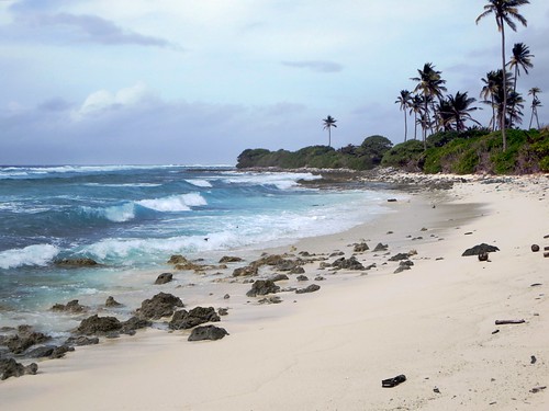
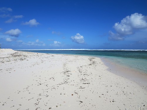
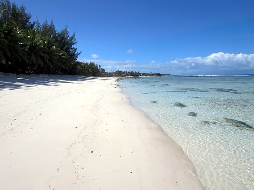
beach island islands lagoon direction cocos keeling
Direction Island Beach
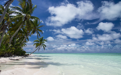
sky beach water clouds work palmtrees cocos resolute
PENT0352.jpg
sunset west island islands cocos keeling
West Island Sunset
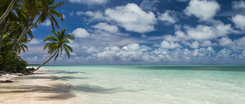
work pano cocos resolute
PENT0371-Edit.jpg
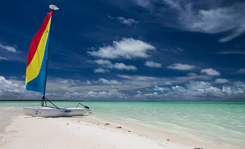
sky beach water clouds work boat cocos resolute
PENT0291.jpg
sky beach water clouds work boat palmtrees cocos resolute
PENT0297.jpg
sky beach water clouds work boat cocos resolute
PENT0312.jpg
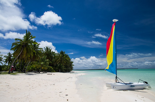
sky beach water clouds work palmtrees cocos resolute
PENT0370.jpg
west island islands maria cocos keeling pulu
Pulu Maria
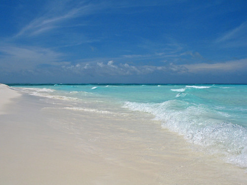
beach island indianocean australia cocoskeelingislands
Lagoon Waves
port island islands direction cruiser refuge cocos emden keeling
Port Refuge
island islands cruising direction yachts cocos keeling
Cruising Yachts
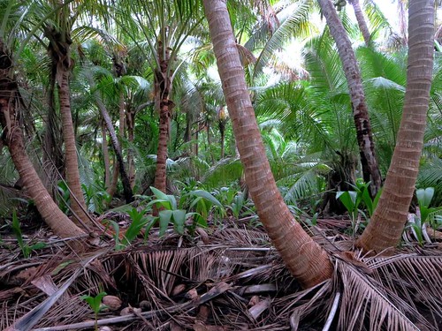
west beach island islands coconut lagoon plantation cocos keeling
Coconut Plantation
west beach island islands cocos keeling
West Coast
west island islands sand south lagoon cocos keeling
South Lagoon
ocean home island islands cocos keeling
Ocean Beach
west point island islands north cocos keeling
North Point
ocean west beach island islands cocos keeling
Ocean Beach
island islands coconut direction cocos keeling
Coconut Trees
islands rip snorkeling direction drift cocos keeling
The Rip
fish west island islands pools tidal eels cocos keeling
Tidal Pools