Elevation of West Island, Cocos (Keeling) Islands
Location: Cocos (keeling) Islands > West Island >
Longitude: 96.8217017
Latitude: -12.145048
Elevation: 11m / 36feet
Barometric Pressure: 101KPa
Elevation Map:
Satellite Map:
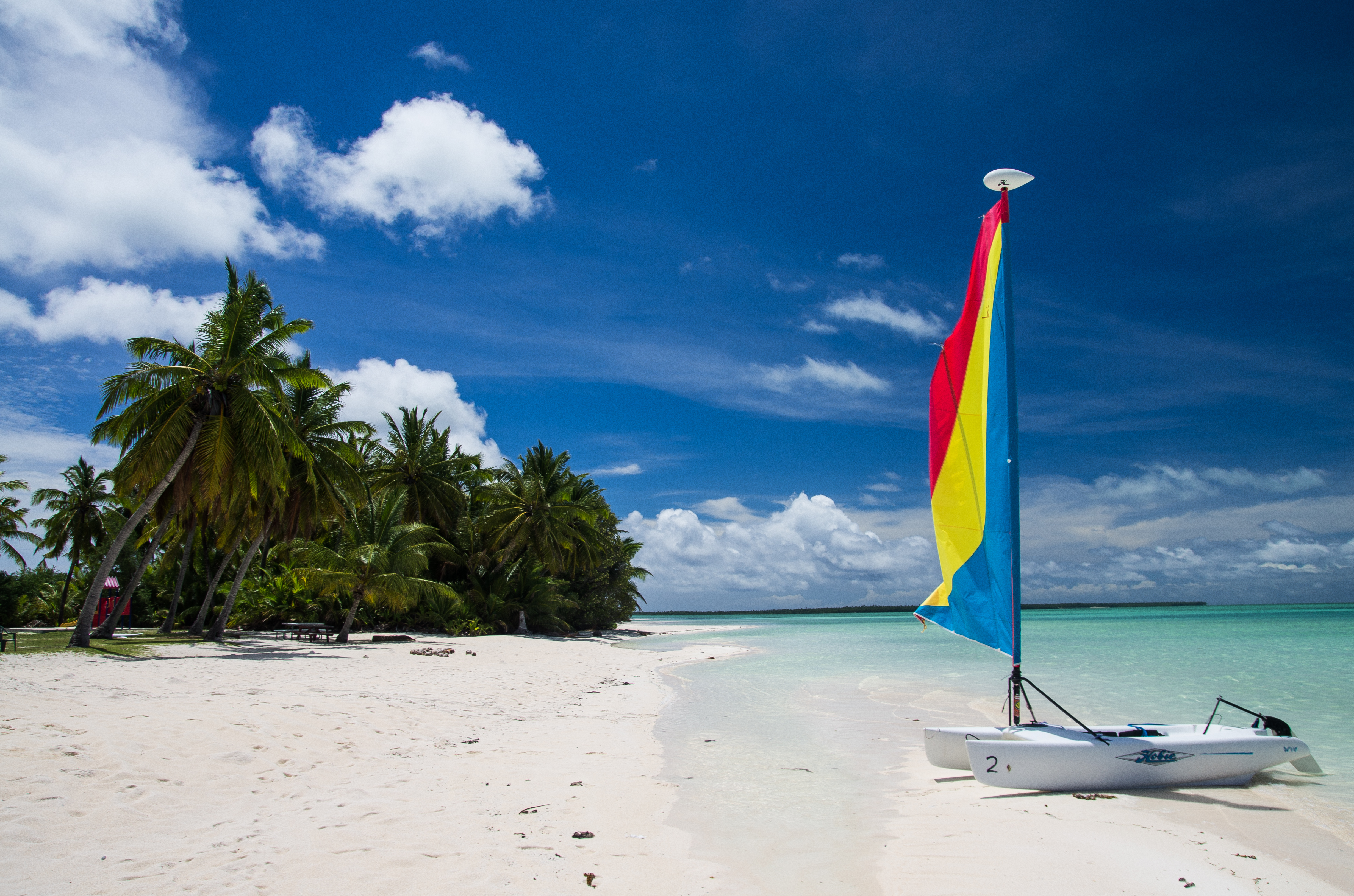
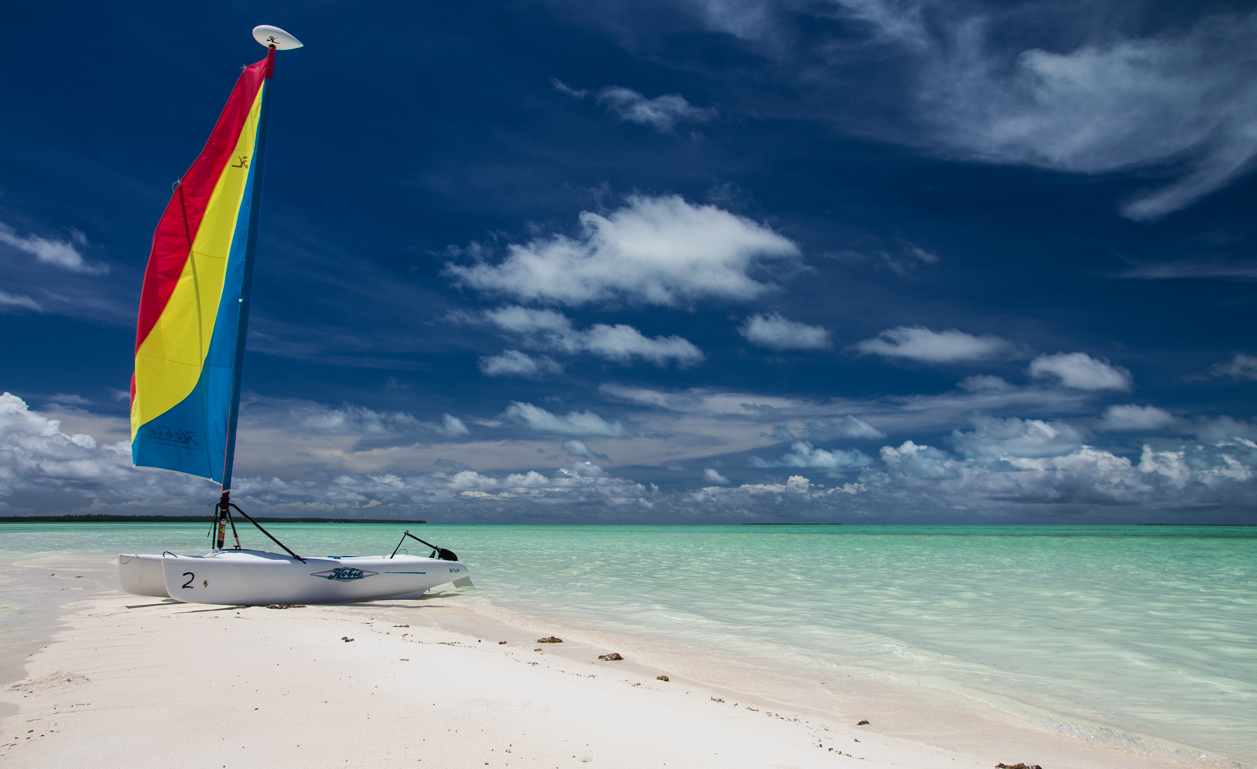
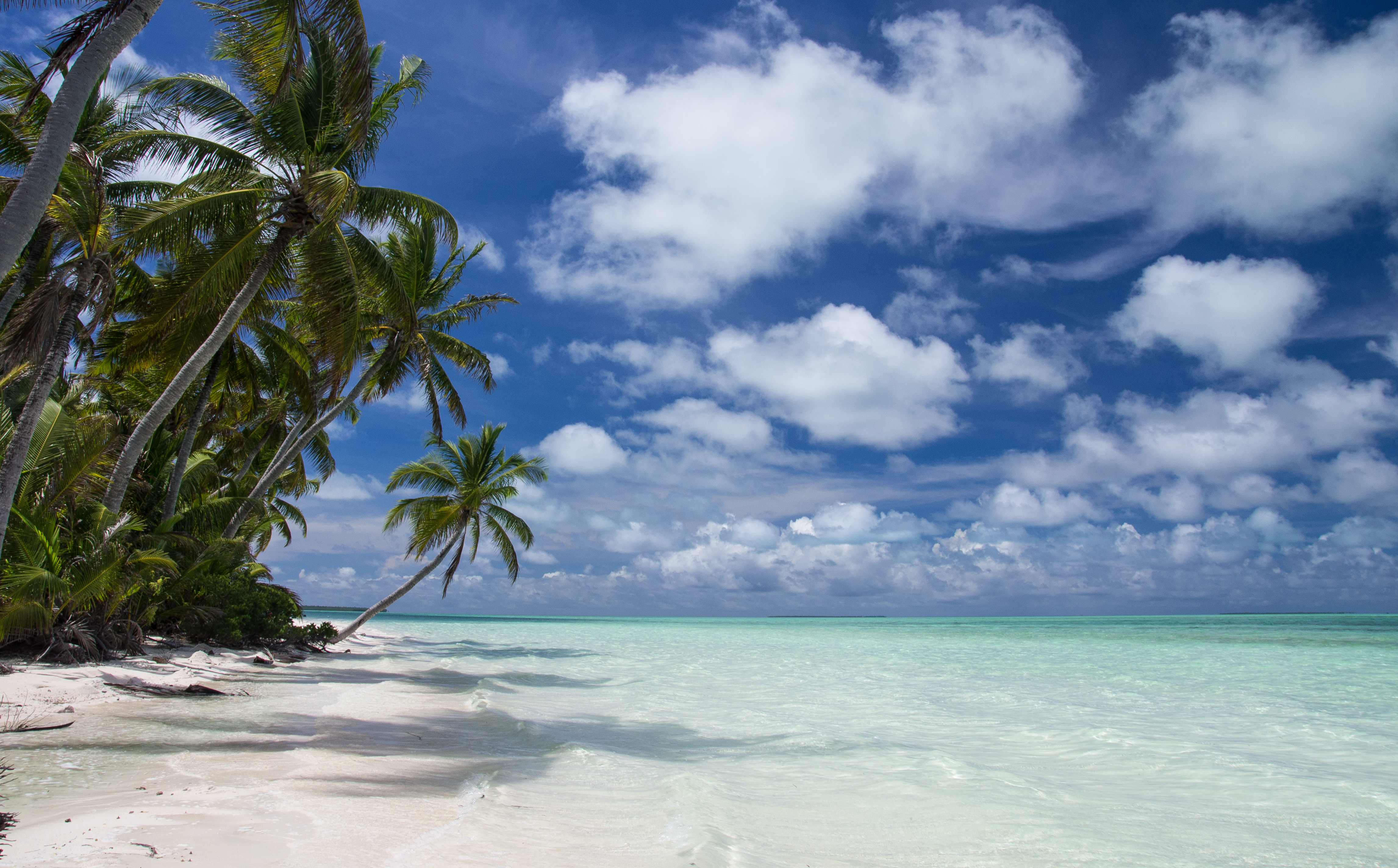
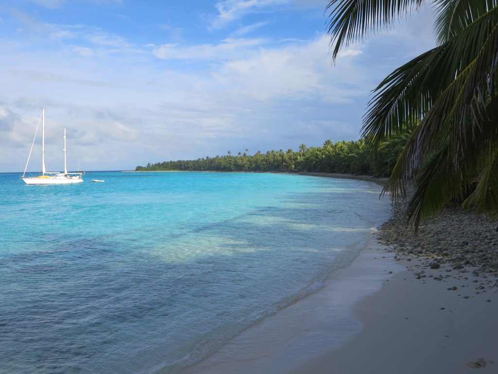
Related Photos:

View from hotel sunset version

View from hotel
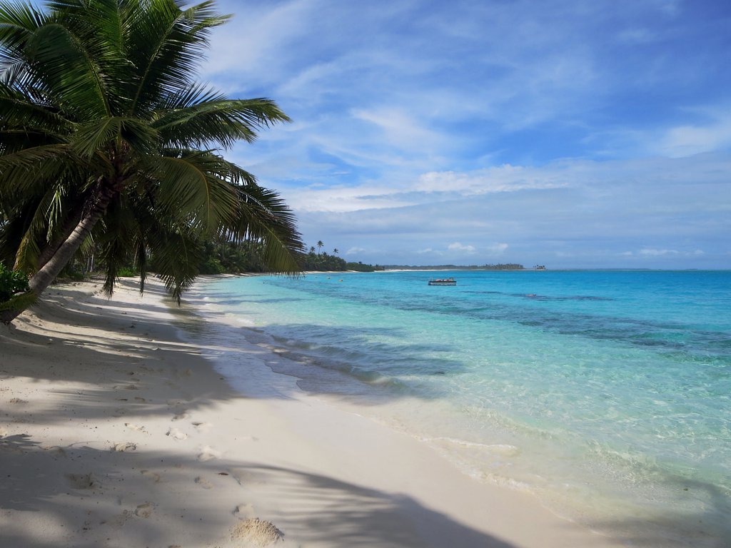
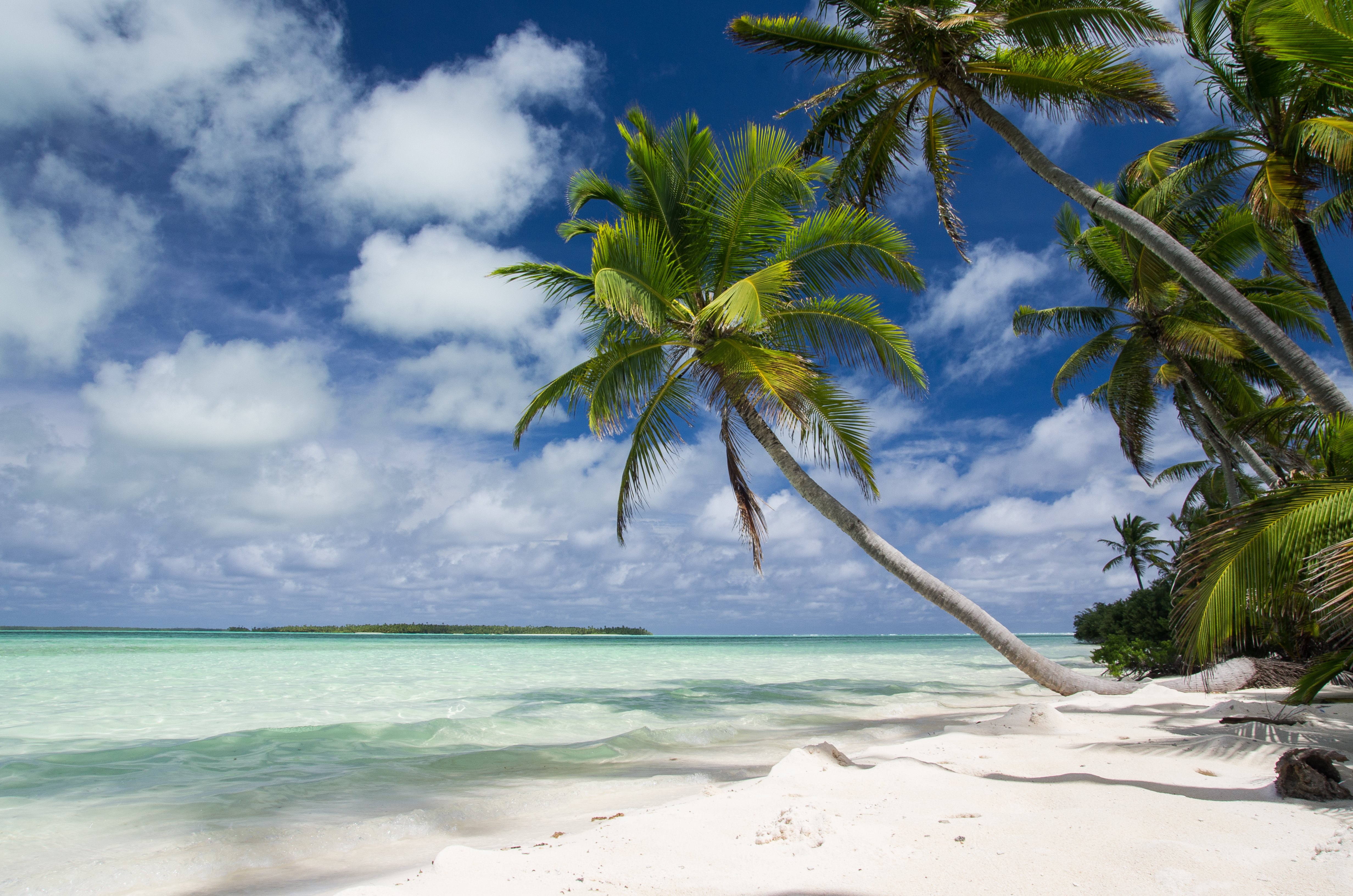
Direction Island Beach
PENT0291.jpg

Pulu Maria

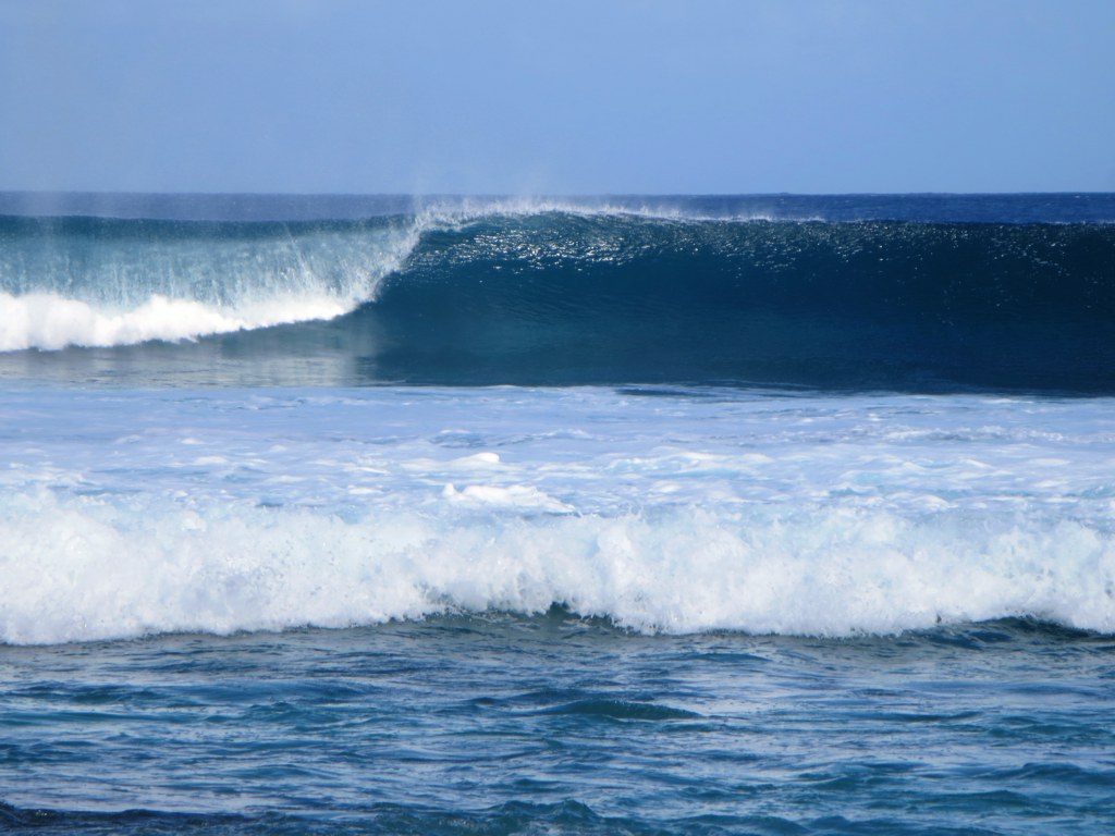
Lagoon Waves
Port Refuge
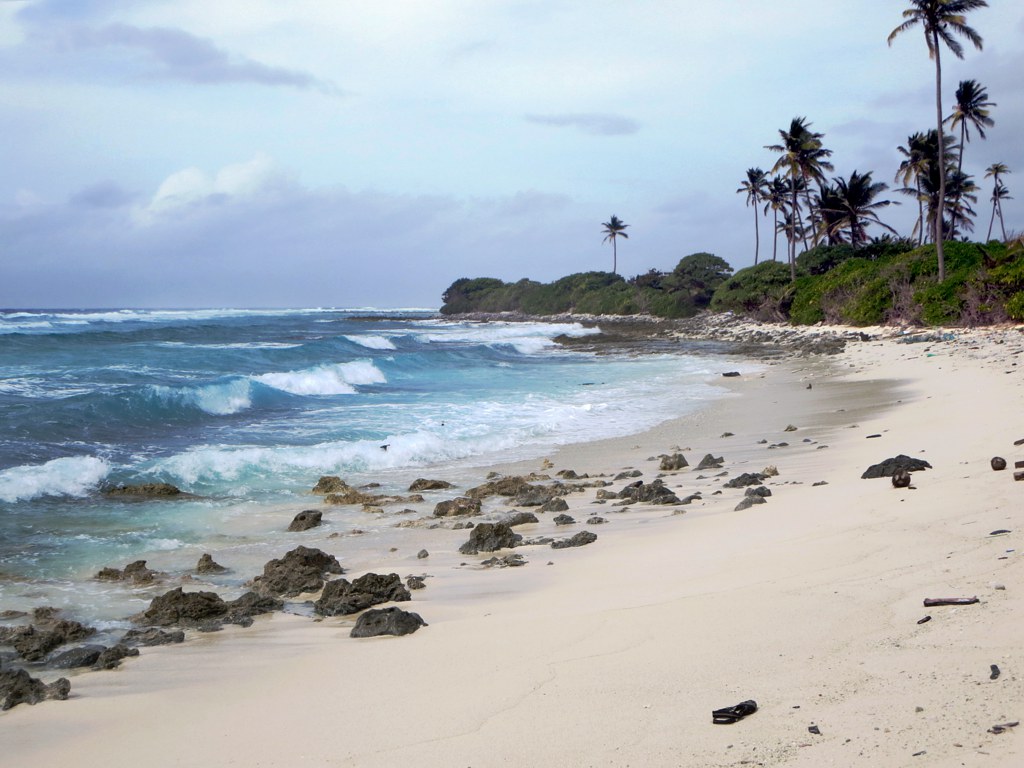
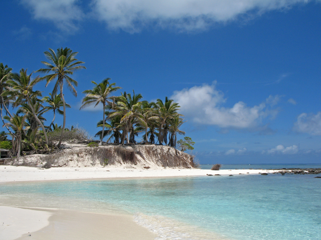
Ocean Beach
PENT0360.jpg

PENT0348.jpg

PENT0367-Edit.jpg
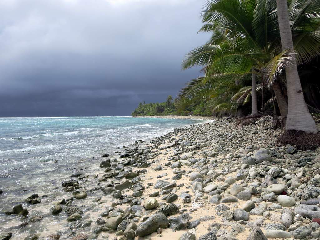
Indian Ocean Breakers
Prison Island (East Side)

PENT0352.jpg
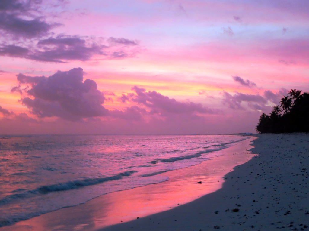
West Island Sunset

PENT0371-Edit.jpg
PENT0297.jpg
PENT0312.jpg
PENT0370.jpg
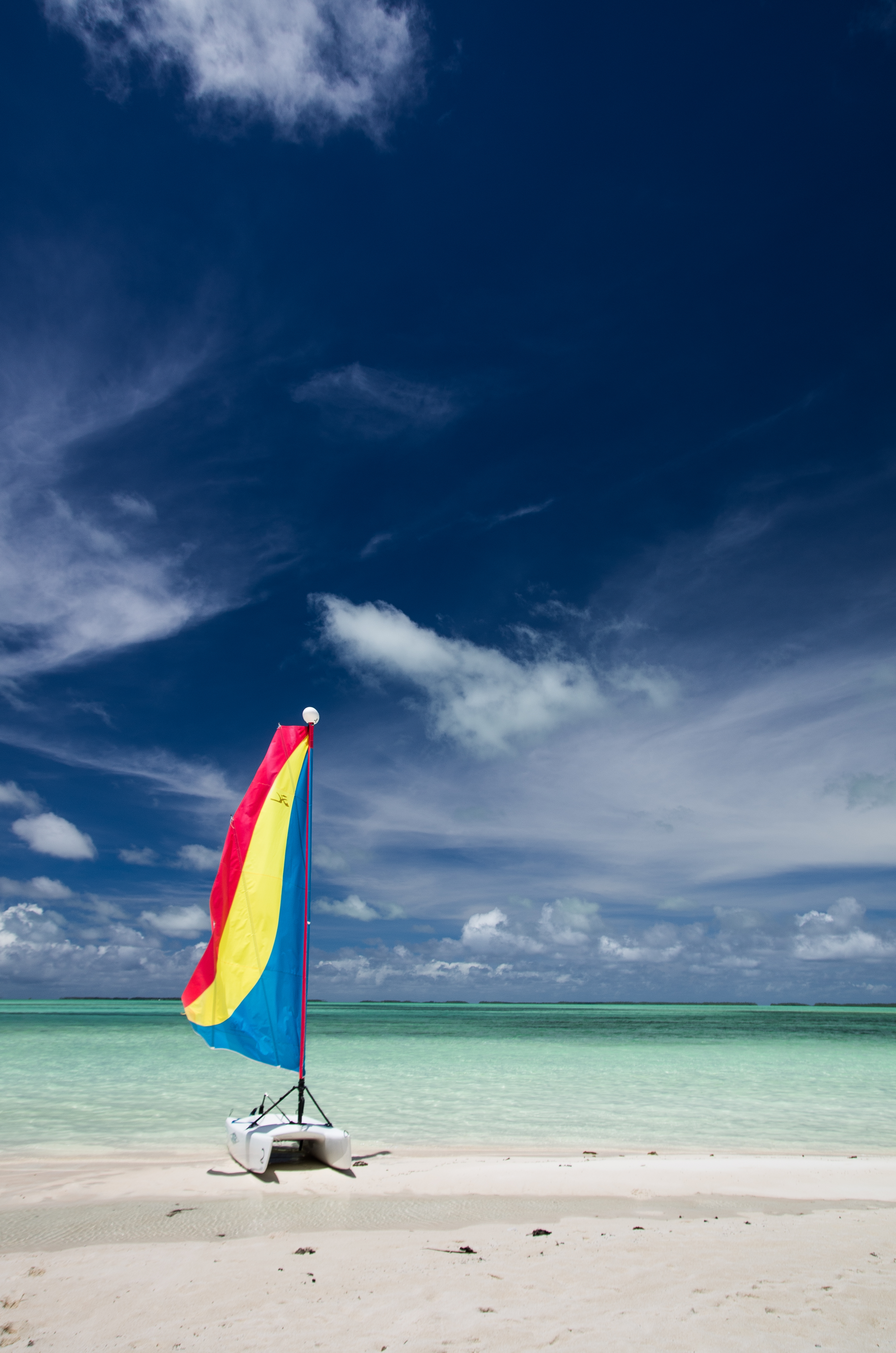
Cruising Yachts
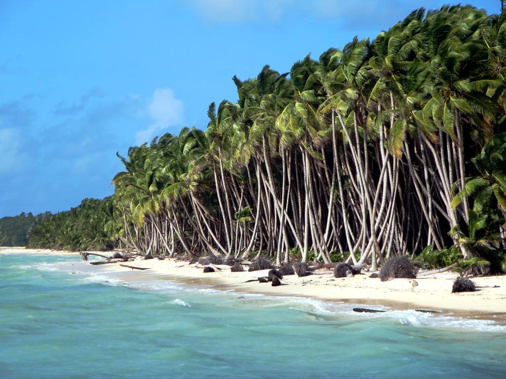
Coconut Plantation
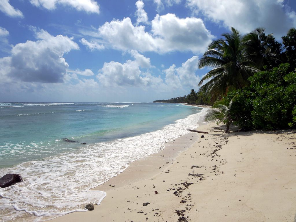
West Coast
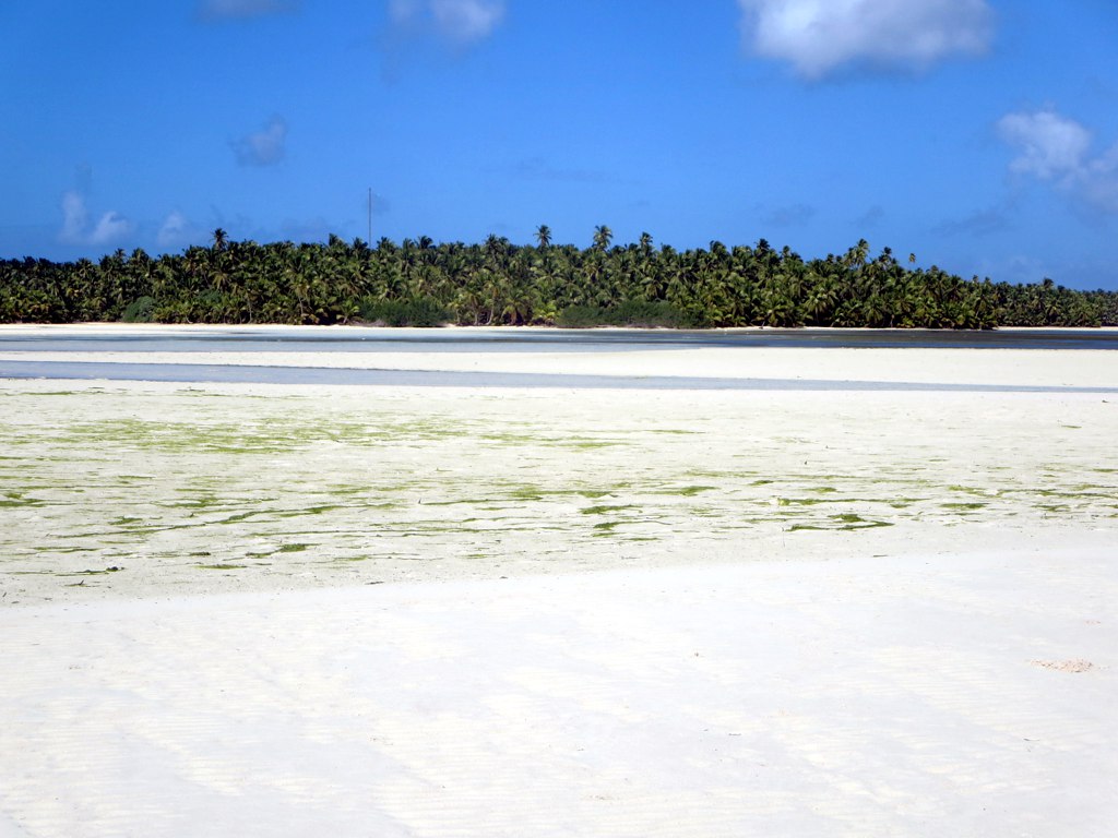
South Lagoon
Topographic Map of West Island, Cocos (Keeling) Islands
Find elevation by address:

Places near West Island, Cocos (Keeling) Islands:
Recent Searches:
- Elevation of Corso Fratelli Cairoli, 35, Macerata MC, Italy
- Elevation of Tallevast Rd, Sarasota, FL, USA
- Elevation of 4th St E, Sonoma, CA, USA
- Elevation of Black Hollow Rd, Pennsdale, PA, USA
- Elevation of Oakland Ave, Williamsport, PA, USA
- Elevation of Pedrógão Grande, Portugal
- Elevation of Klee Dr, Martinsburg, WV, USA
- Elevation of Via Roma, Pieranica CR, Italy
- Elevation of Tavkvetili Mountain, Georgia
- Elevation of Hartfords Bluff Cir, Mt Pleasant, SC, USA