Elevation of West Incense Cedar Road, W Incense Cedar Rd, Julian, CA, USA
Location: United States > California > San Diego County > Julian >
Longitude: -116.57945
Latitude: 33.0418194
Elevation: 1321m / 4334feet
Barometric Pressure: 86KPa
Elevation Map:
Satellite Map:
Related Photos:

Stonewall Peak Trail in Cuyamaca Rancho State Park, California

Barren borrego breakfast

View from the top of Mildred Falls.

View from the top of Mildred Falls.

Cedar Creek Falls
Space Dock

View from the top of Mildred Falls.

View from the top of Mildred Falls.

View across Shelter Valley to Grapevine Mtn
Cool view from Stonewall Peak
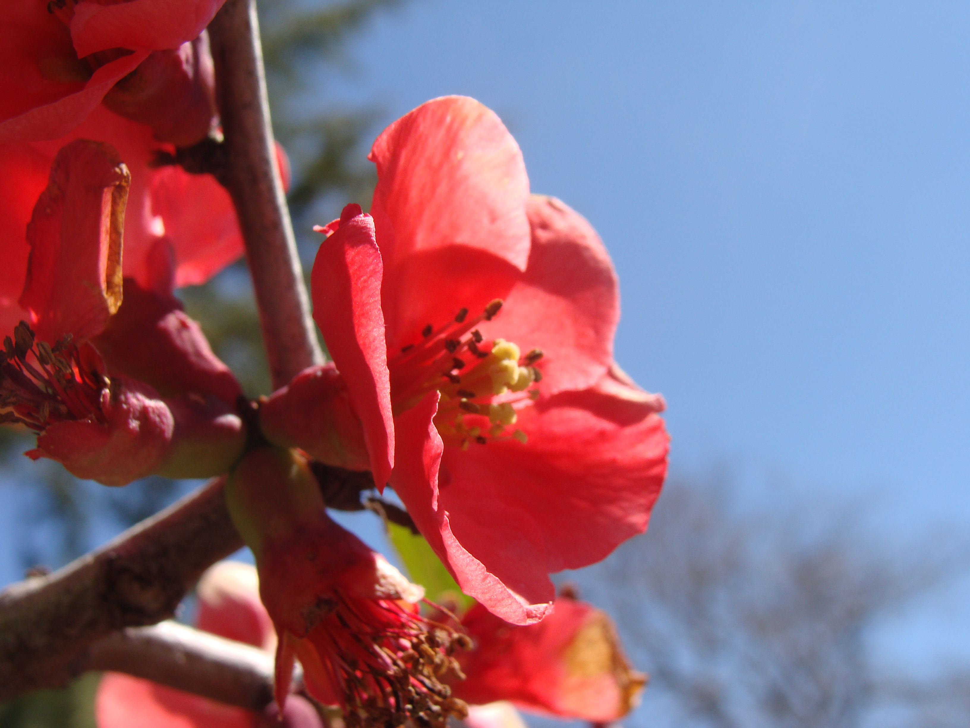
Quince flowers, SOOC, Julian
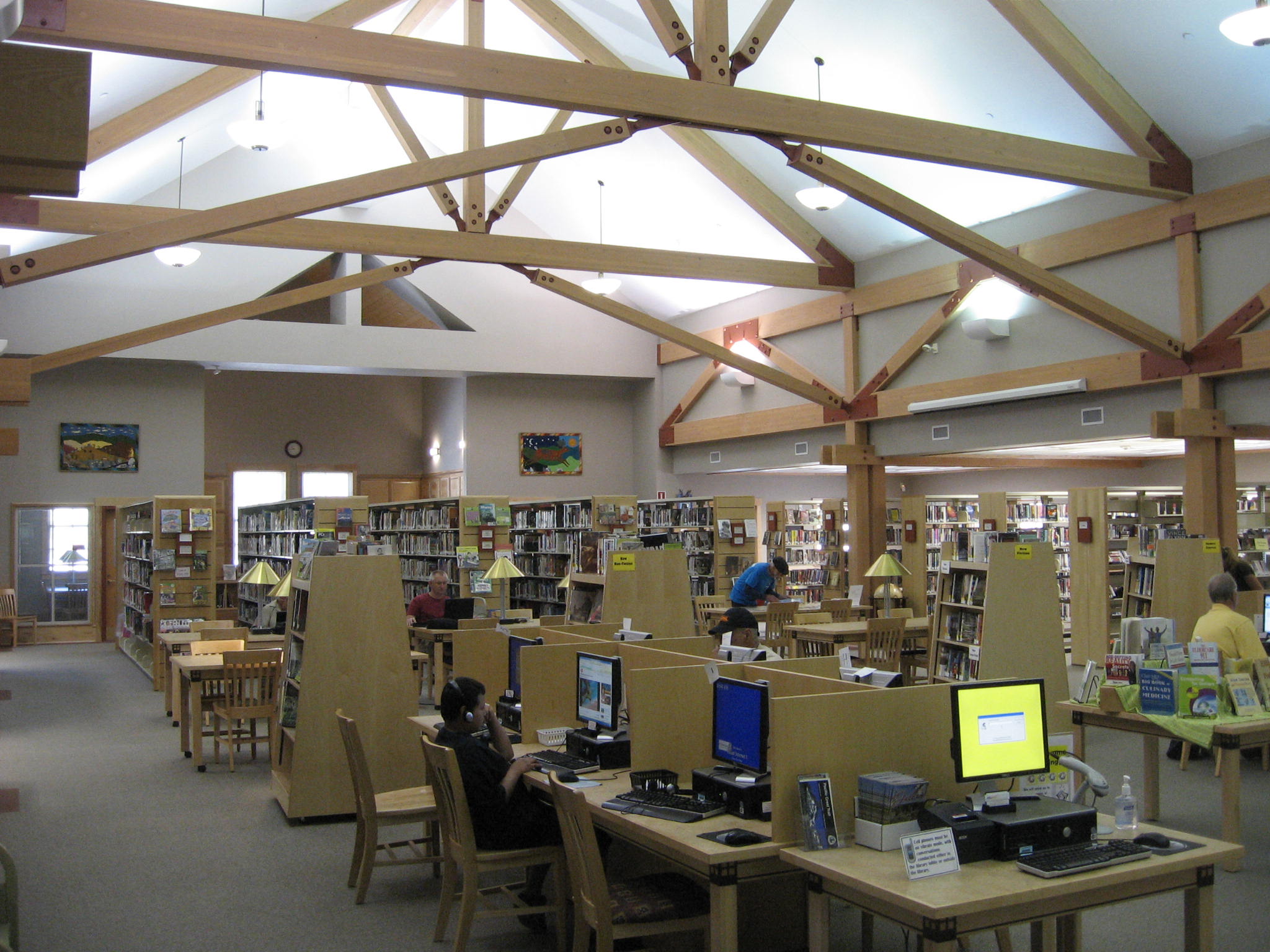
JULIAN (CA) LIBRARY - VIEW FROM THE MAIN ENTRANCE
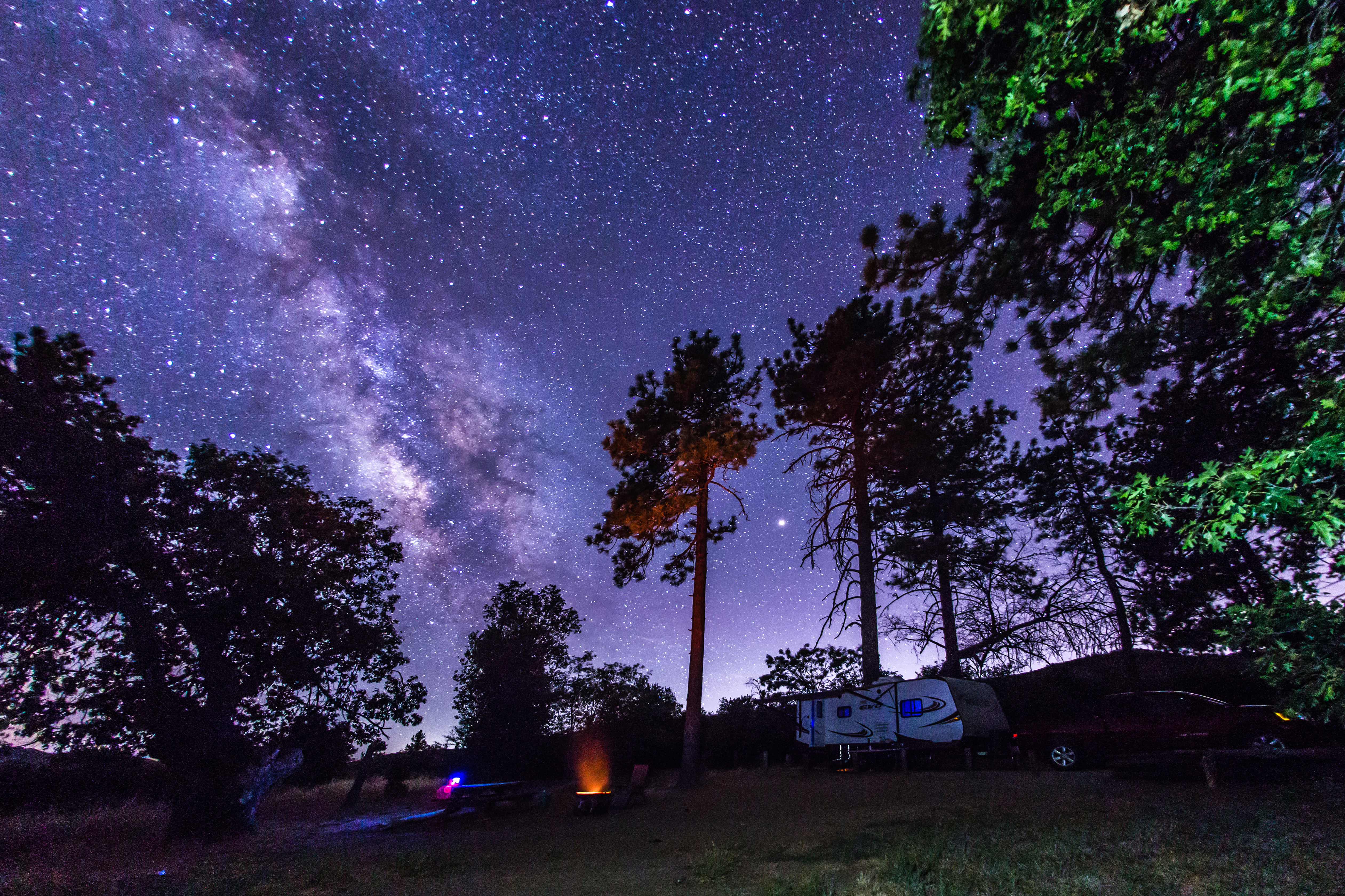
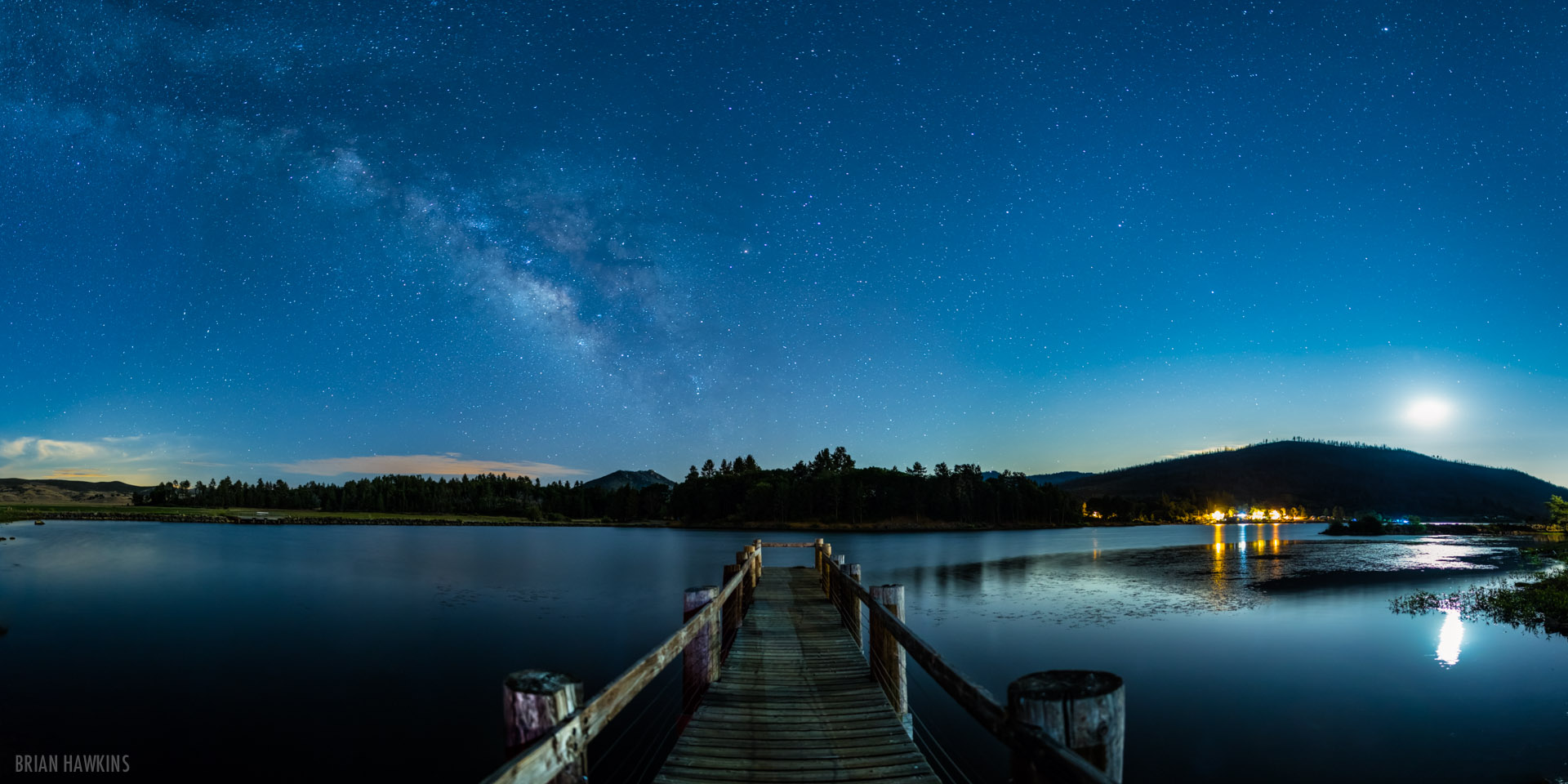
Camping under the Milky Way in Cuyamaca Rancho State Park

Shelter Valley and Granite Mountain.
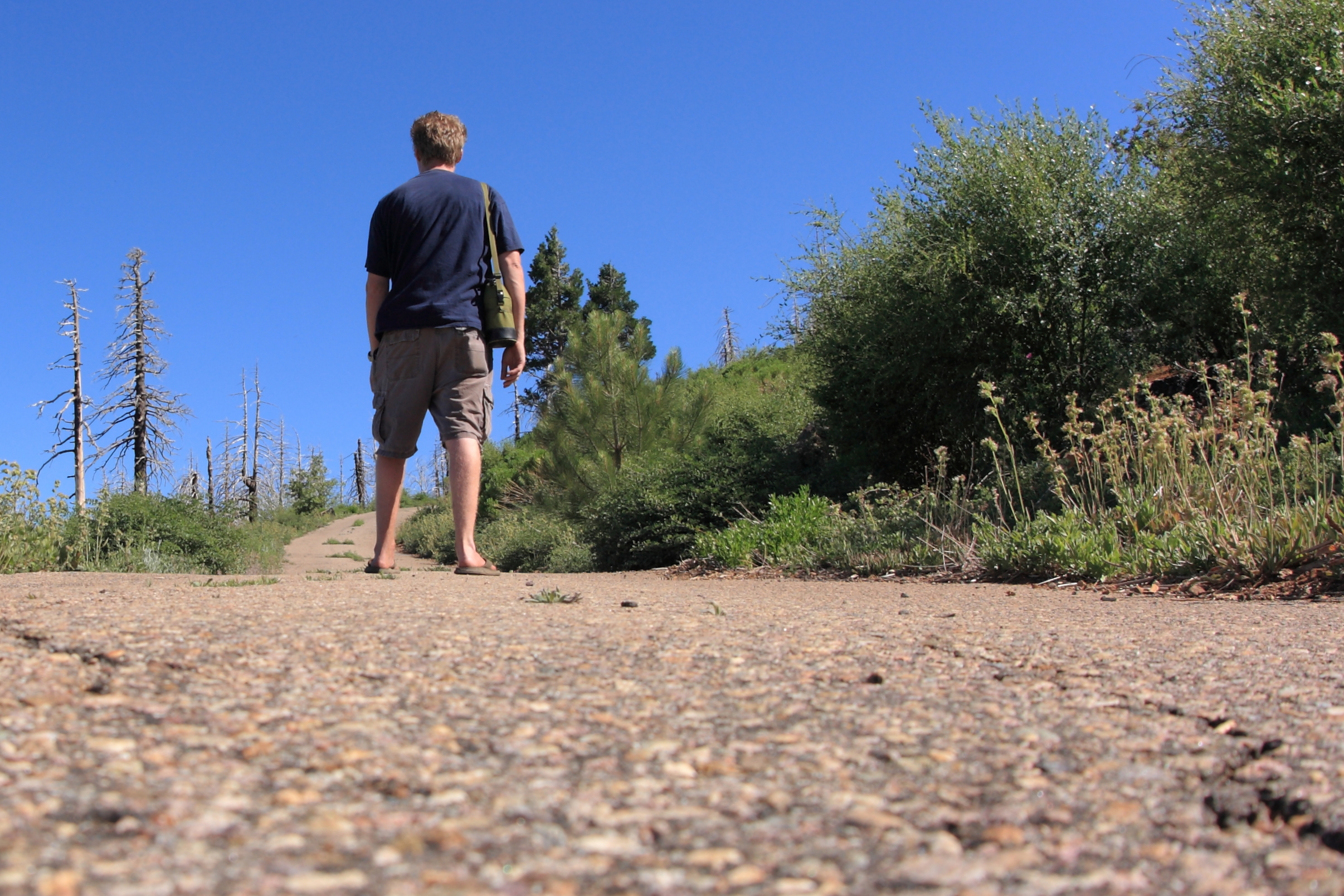
I'm taking a hike up to Cuyamaca Peak. Remote control self-portrait.

Nighttime VIew of Anza-Borrego From Desert View Park

PHAINOPEPLA Male Phainopepla nitens Striking a Pose in Anza-Borrego Desert State Park, California. Photo by Peter Wendelken

December 2017 Supermoon From Desert View Park

December 2017 Supermoon From Desert View Park

20170504_152325.jpg
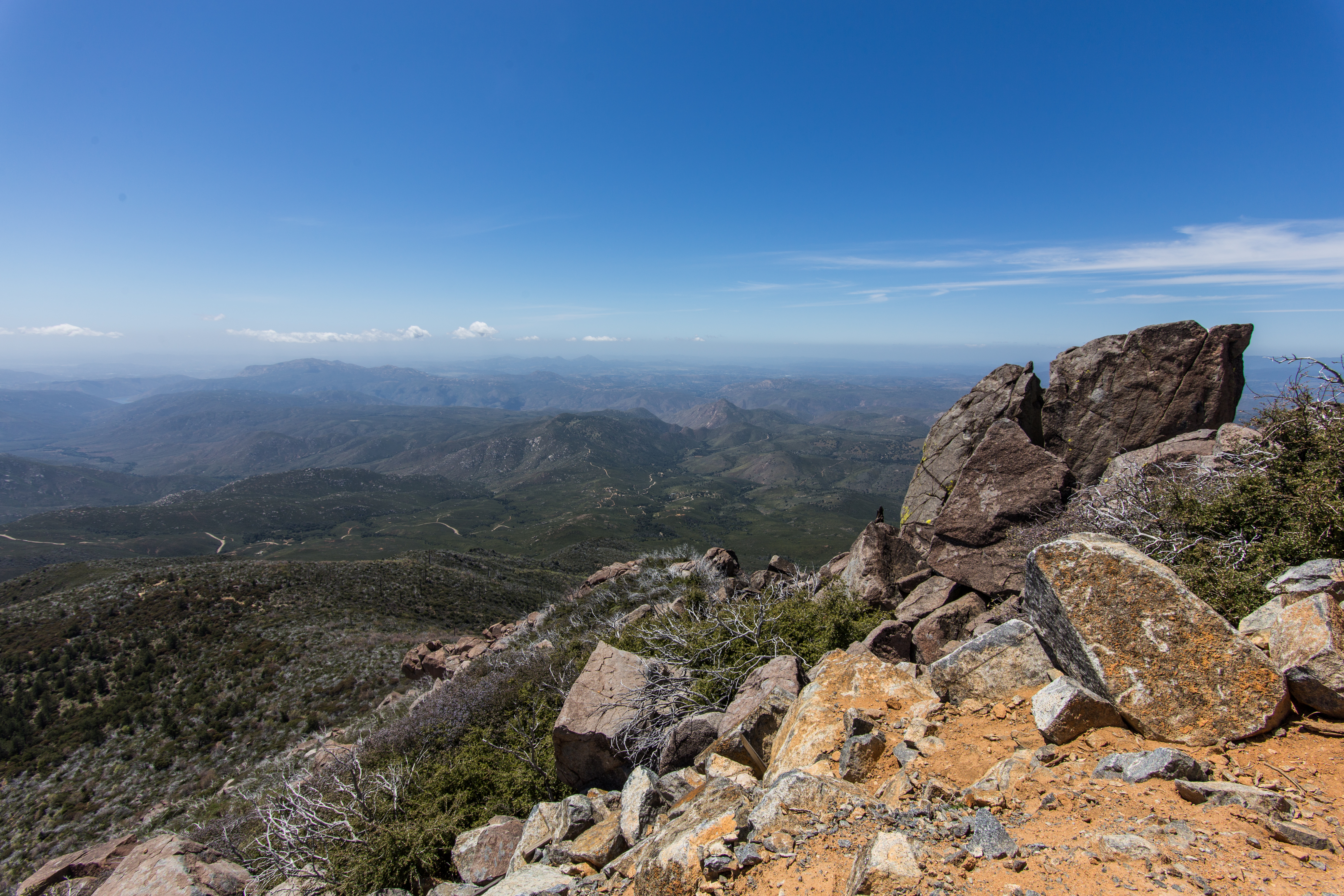
View from the summit of Cuyamaca Peak

California Scrub Jay in snowy landscape

Lake Cuyamaca
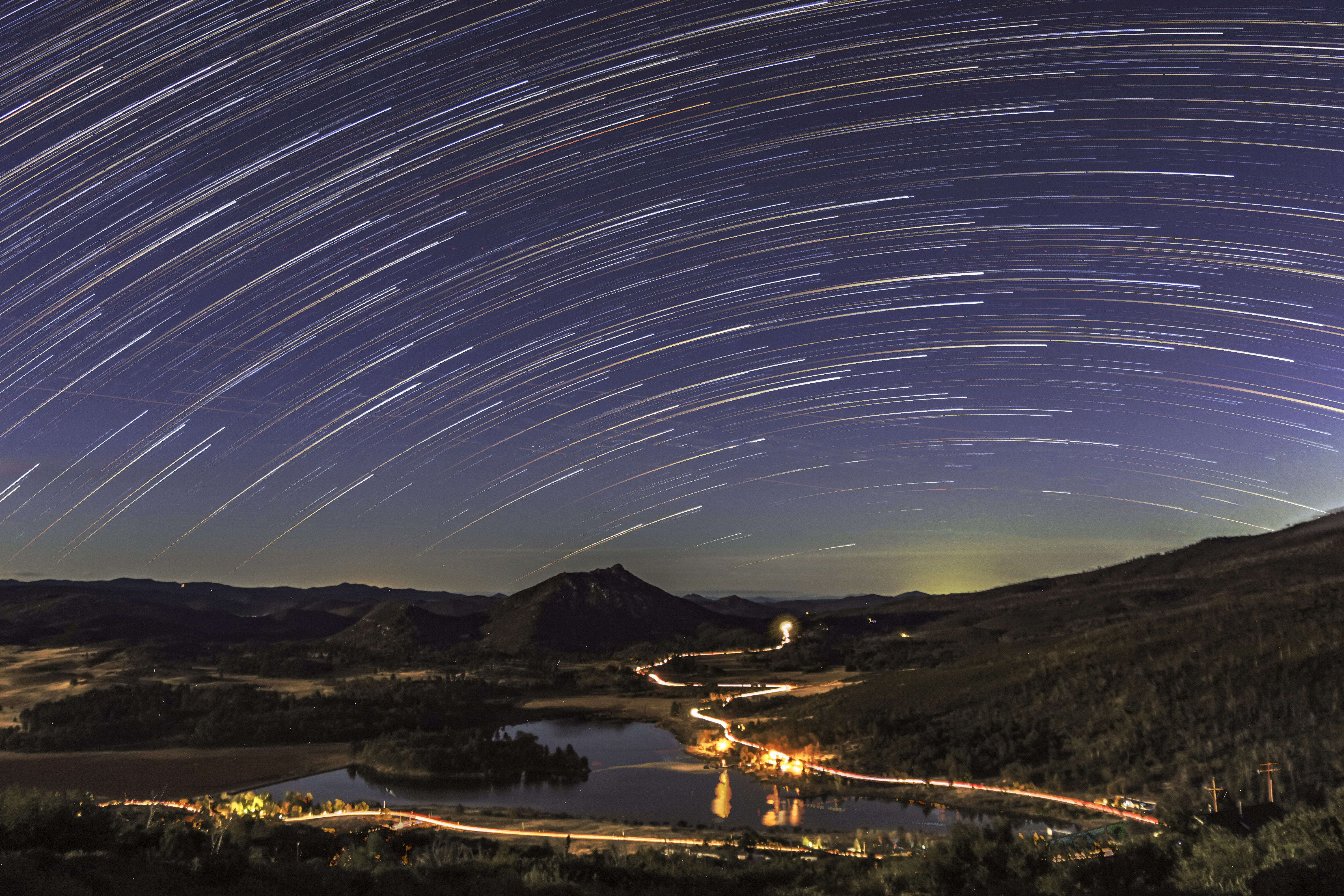
Star Trails Over Lake Cuyamaca. Different Processing

Field of Stars

North Star Trails Over Lush Desert Landscape

35mm Milky Way Over Anza-Borrego Desert Landscape With Agave and Ocotillo

Deserted In the Desert - New Favorite Campsite In Anza-Borrego

Star Trails and a Waterfall

Deserted In the Desert - New Favorite Campsite In Anza-Borrego. Panorama.
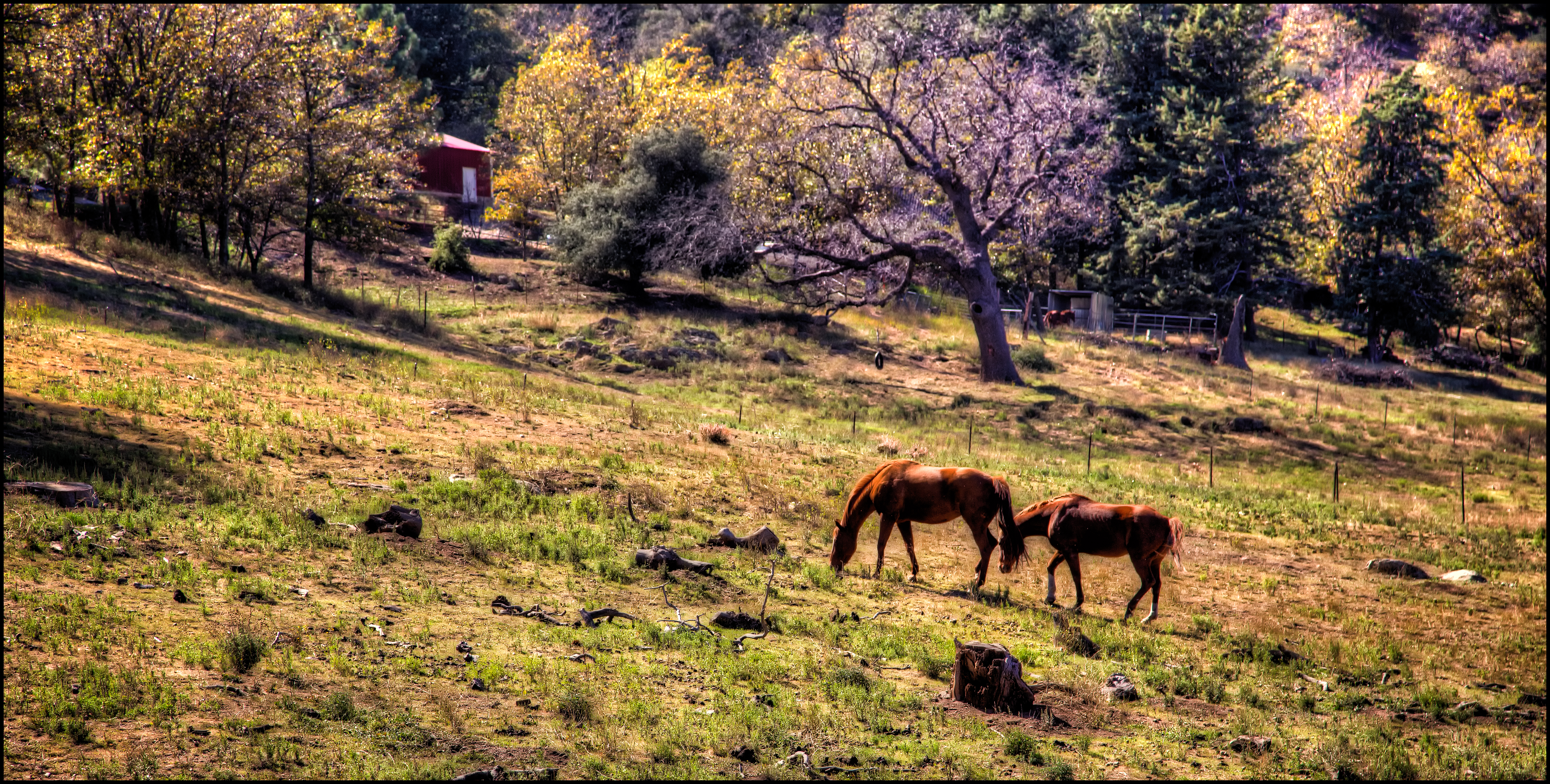
Walking Through the Autumn Landscape

Tiny Little Rainbow In Anza-Borrego

Scenic Way Down

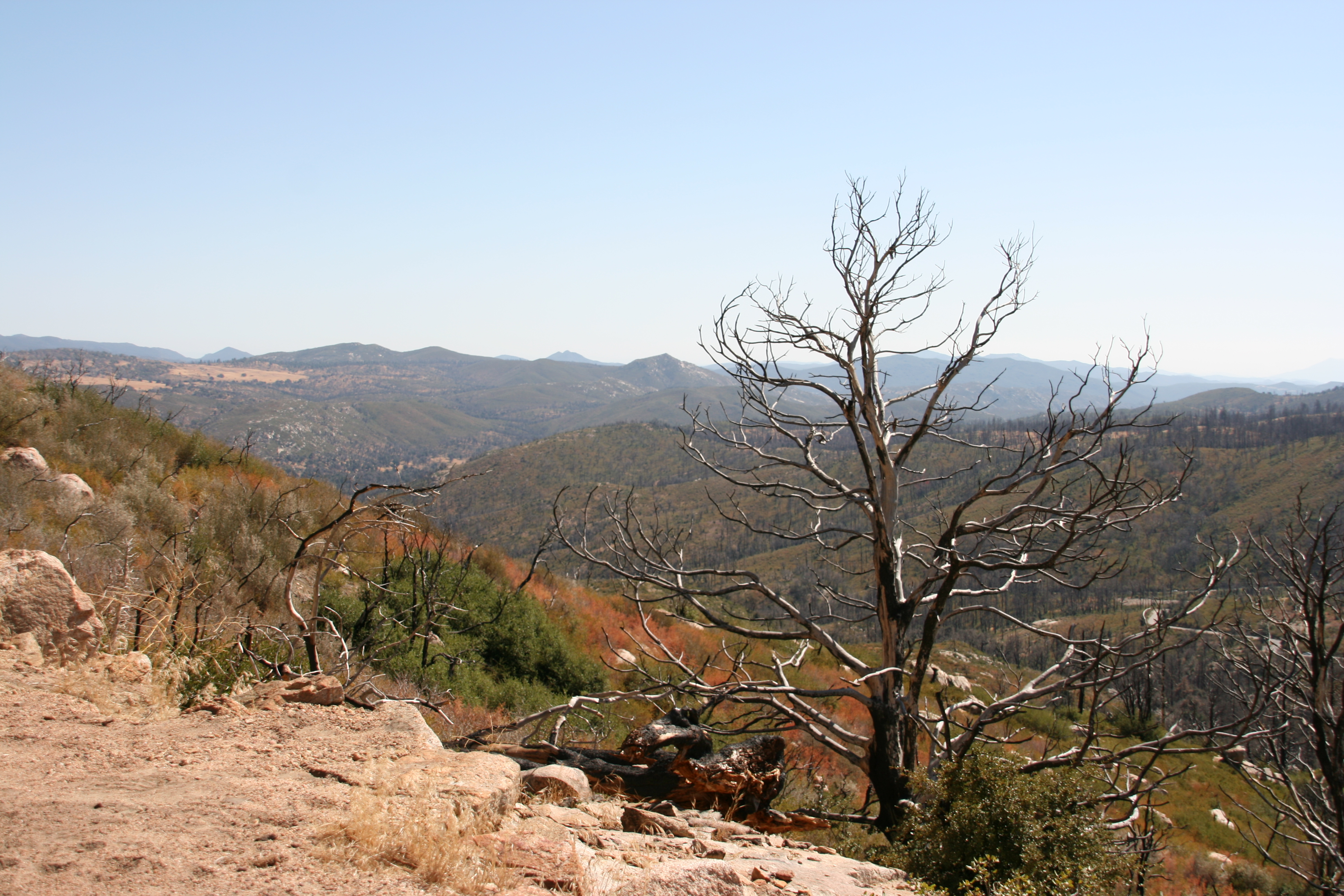
Julian backcountry

Santa Ysabel Preserve East (17 pictures)

Rainbow in the Anza-Borrego Desert

Our Lake Cuyamaca is full now after the rains

Magic Hour at Mildred Falls
Topographic Map of West Incense Cedar Road, W Incense Cedar Rd, Julian, CA, USA
Find elevation by address:

Places near West Incense Cedar Road, W Incense Cedar Rd, Julian, CA, USA:
Harrison Park Road
Harrison Park Road
Harrison Park Road
1626 Frisius Dr
35156 Twin Oaks Ln
16686 Iron Springs Rd
16950 Iron Springs Rd
Lois Lane
35339 Iron Springs Way
Kq Ranch Rv Resort
5017 Acorn Patch Rd
5764 Grandview Way
7263 Starlight Way
34632 Pima Trail
34606 Navajo Rd
7904 Engineers Rd
7077 Sandy Creek Rd
Lake Cuyamaca
Lake Cuyamaca Restaurant & Store
15027 Ca-79
Recent Searches:
- Elevation of Corso Fratelli Cairoli, 35, Macerata MC, Italy
- Elevation of Tallevast Rd, Sarasota, FL, USA
- Elevation of 4th St E, Sonoma, CA, USA
- Elevation of Black Hollow Rd, Pennsdale, PA, USA
- Elevation of Oakland Ave, Williamsport, PA, USA
- Elevation of Pedrógão Grande, Portugal
- Elevation of Klee Dr, Martinsburg, WV, USA
- Elevation of Via Roma, Pieranica CR, Italy
- Elevation of Tavkvetili Mountain, Georgia
- Elevation of Hartfords Bluff Cir, Mt Pleasant, SC, USA