Elevation of Lois Lane, Lois Ln, Julian, CA, USA
Location: United States > California > San Diego County > Julian >
Longitude: -116.57476
Latitude: 33.0221633
Elevation: 1460m / 4790feet
Barometric Pressure: 85KPa
Elevation Map:
Satellite Map:
Related Photos:
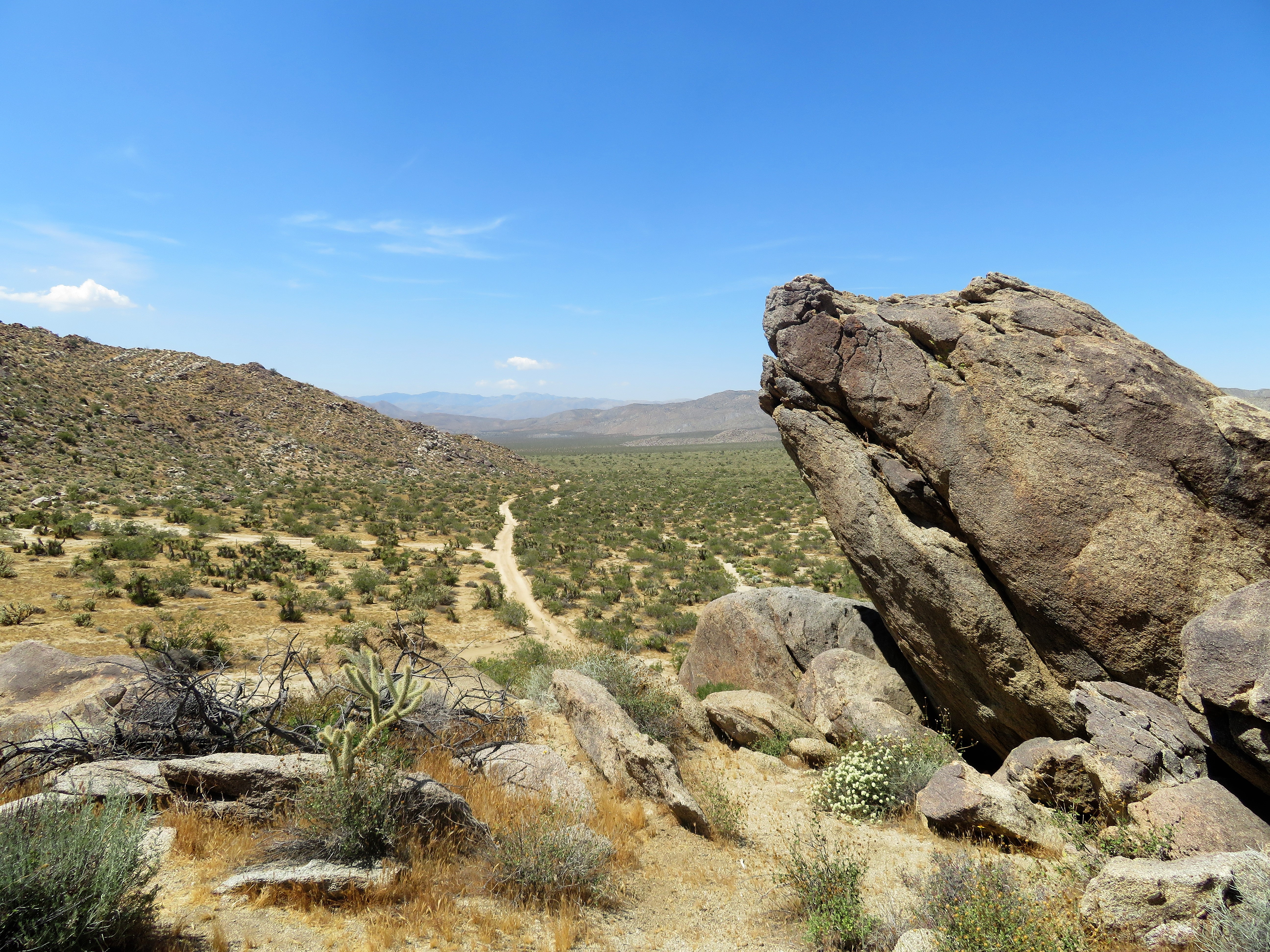
View from Foot and Walker Pass.
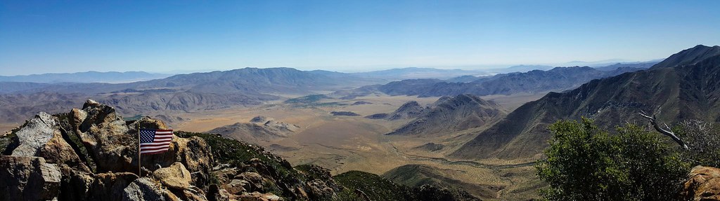
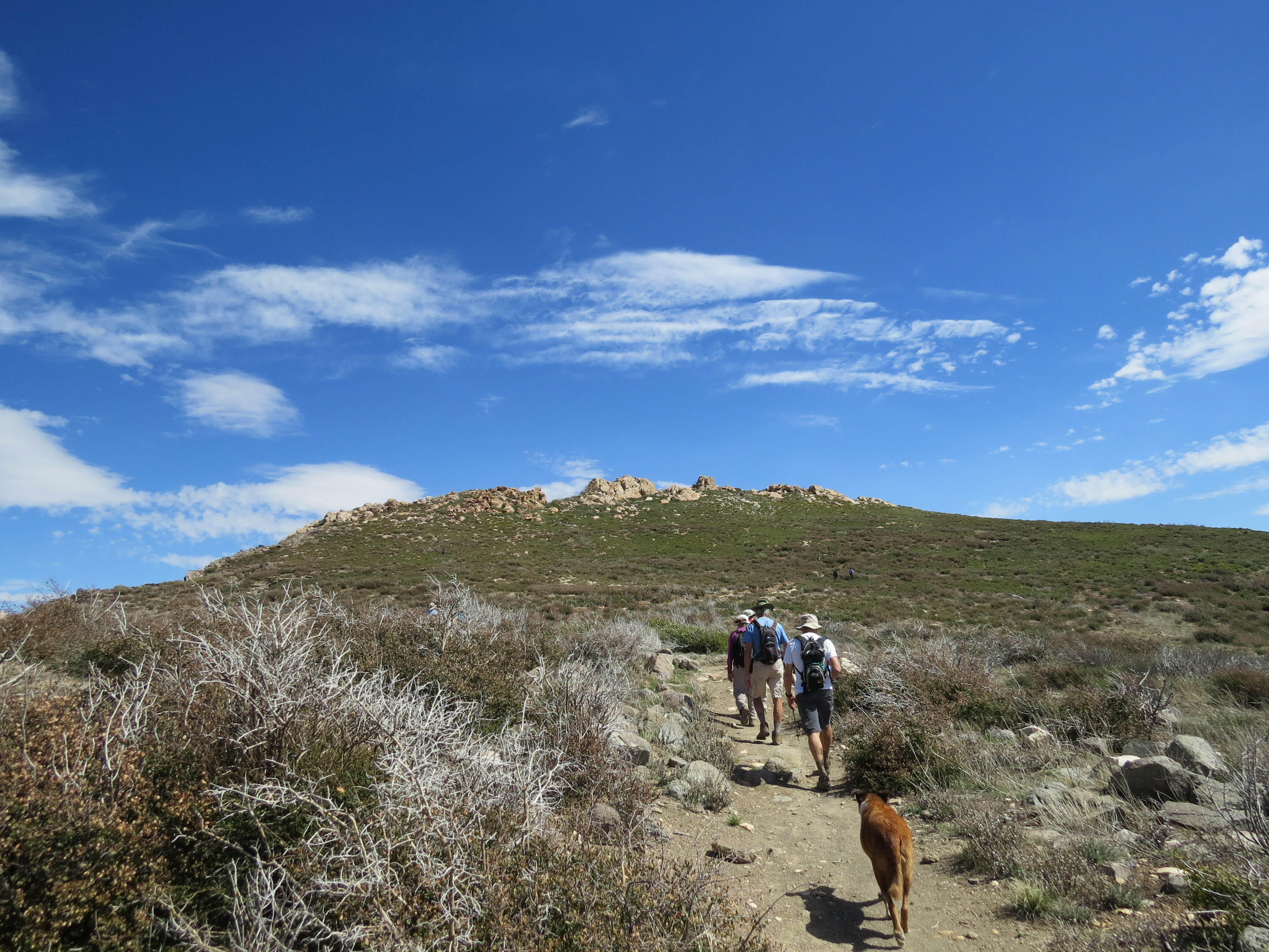
Garnet Peak Summit
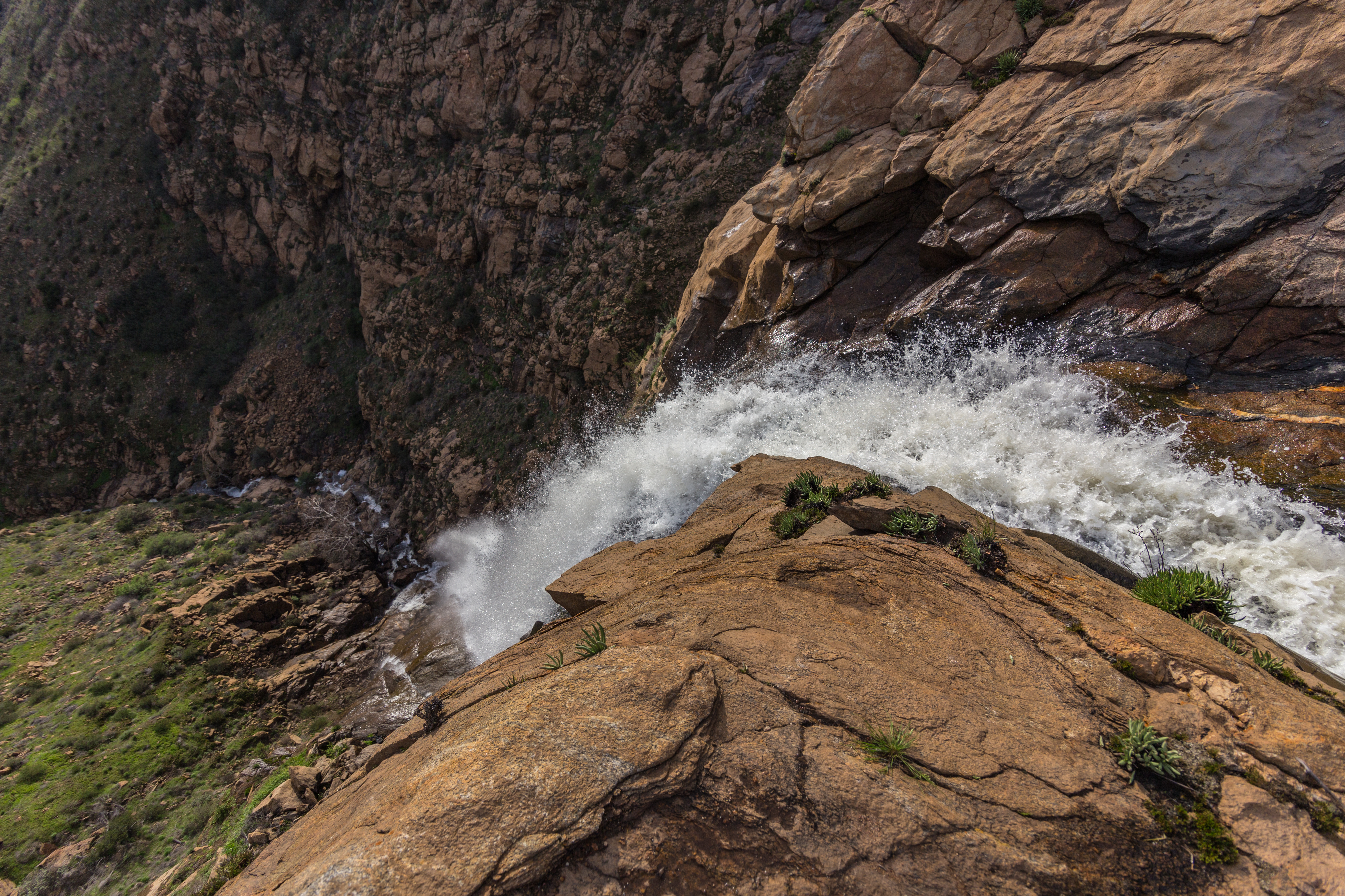
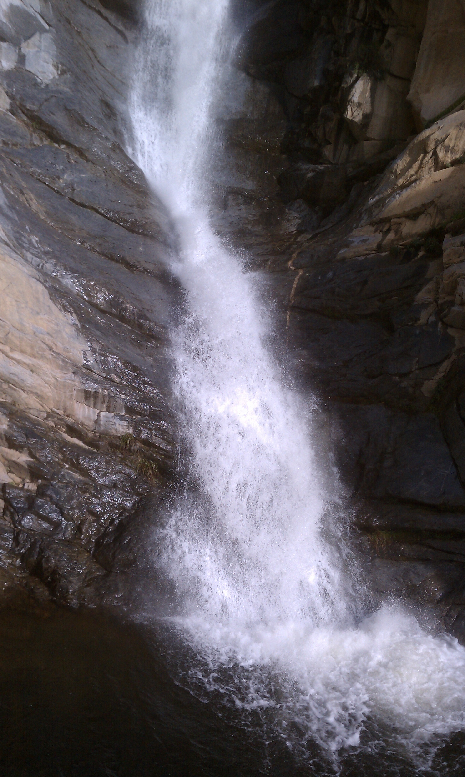
View from the top of Mildred Falls.
View from the top of Mildred Falls.

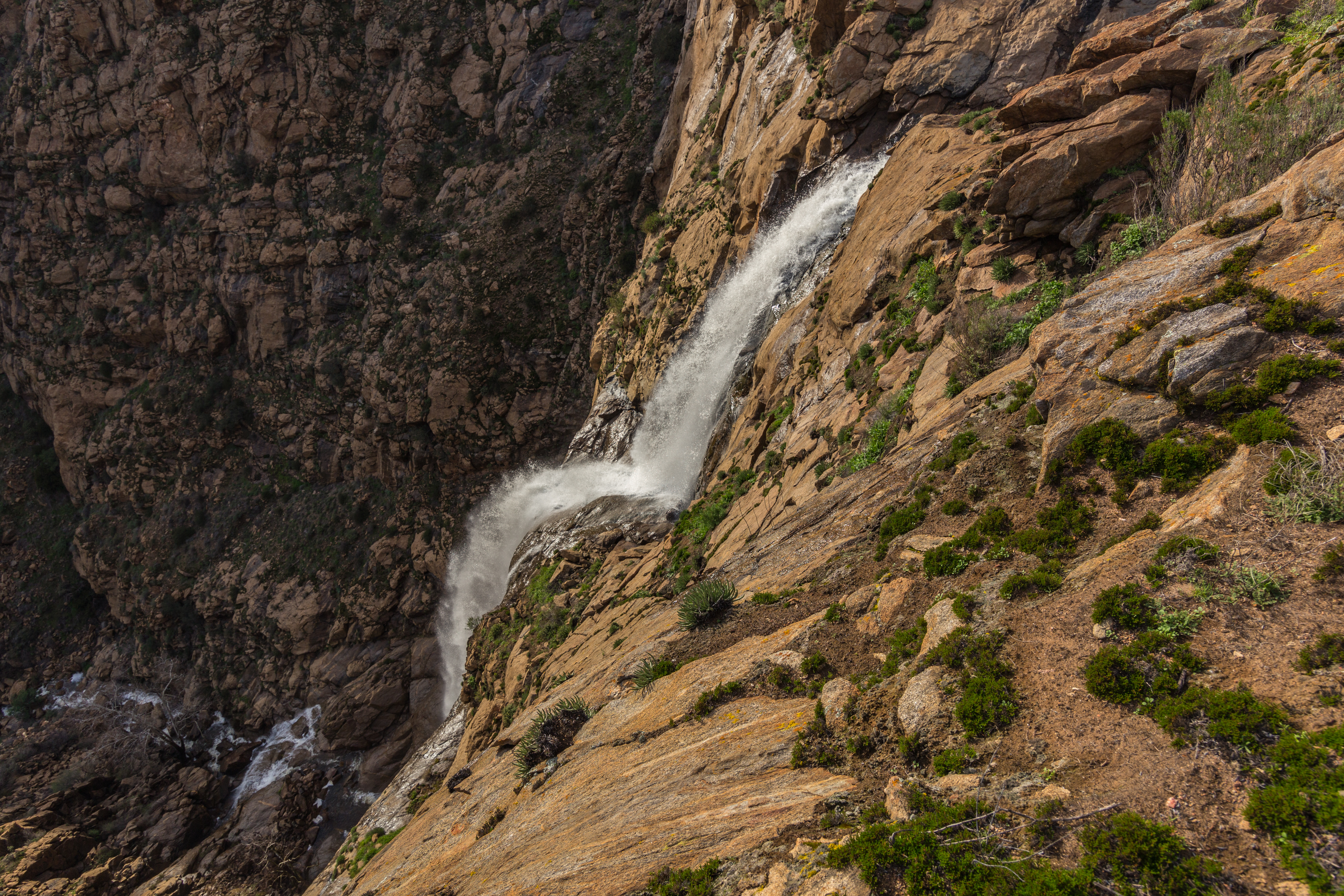
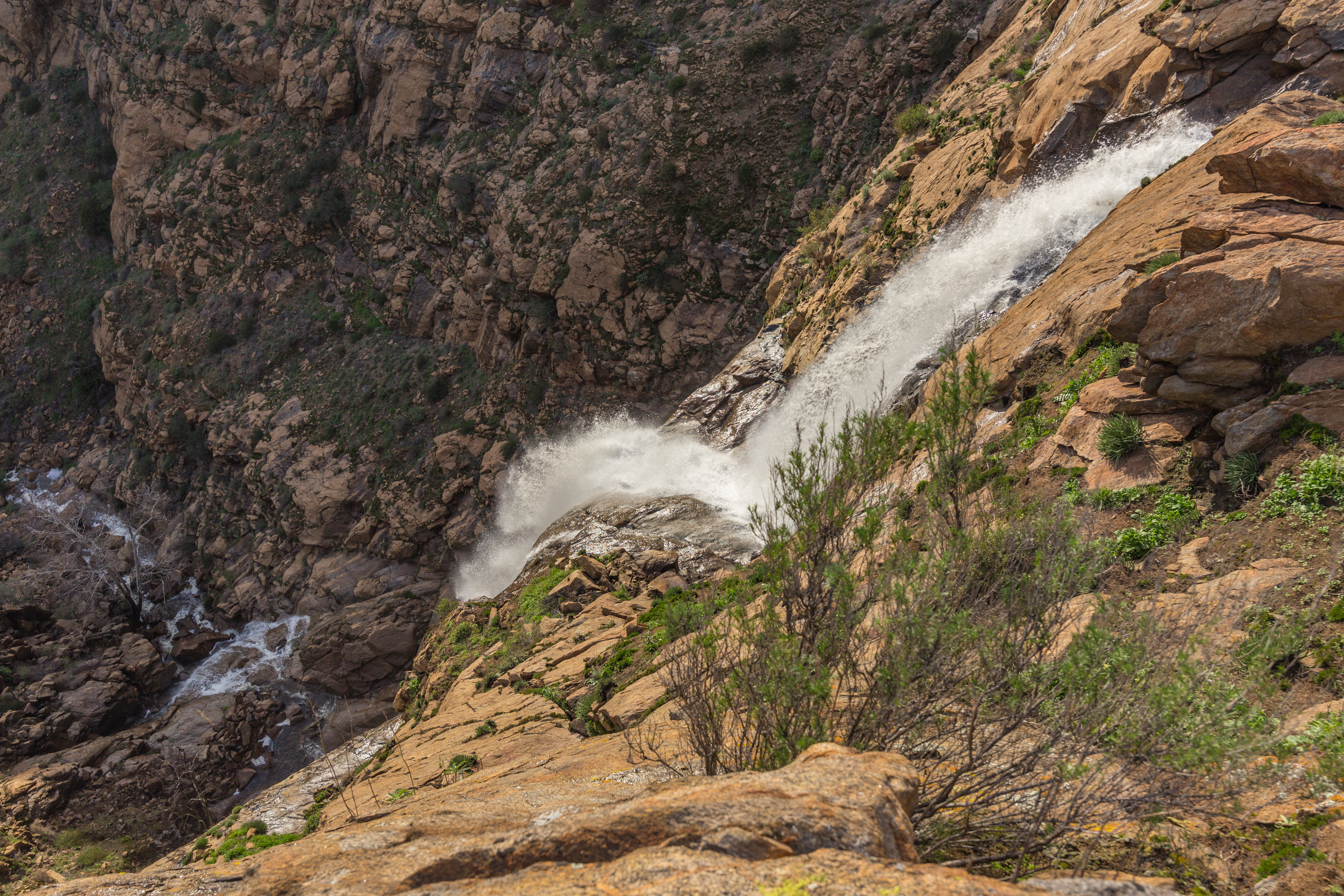
Cedar Creek Falls
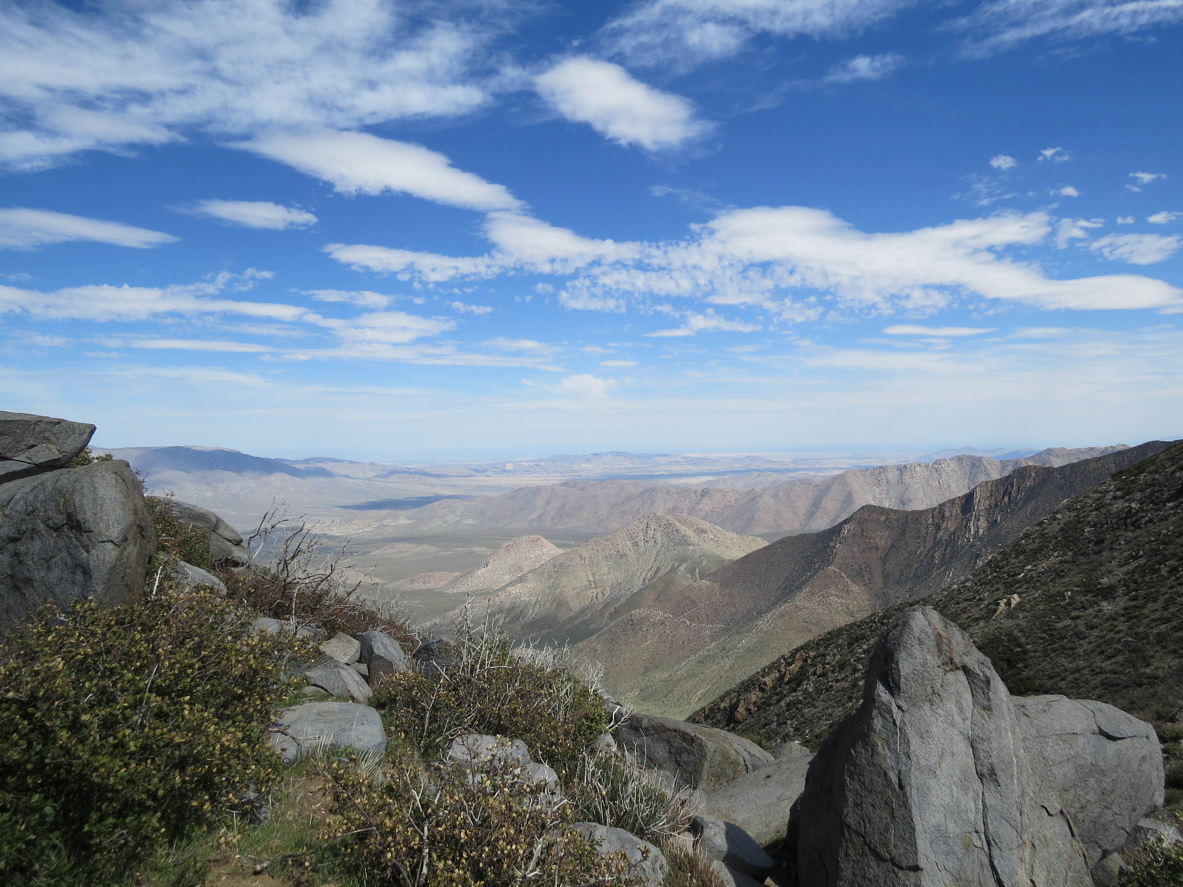
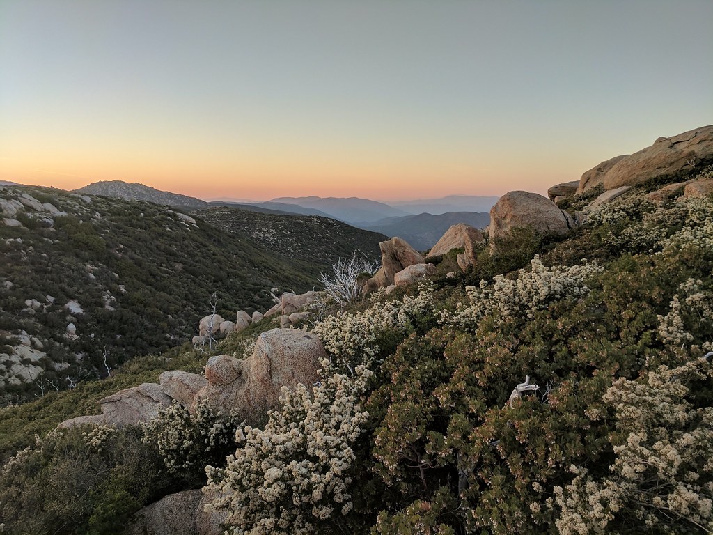
View from PCT, near Garnet Peak
Space Dock
View from PCT, near Garnet Peak
View from the top of Mildred Falls.
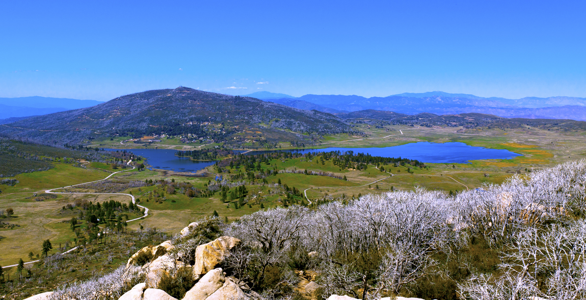
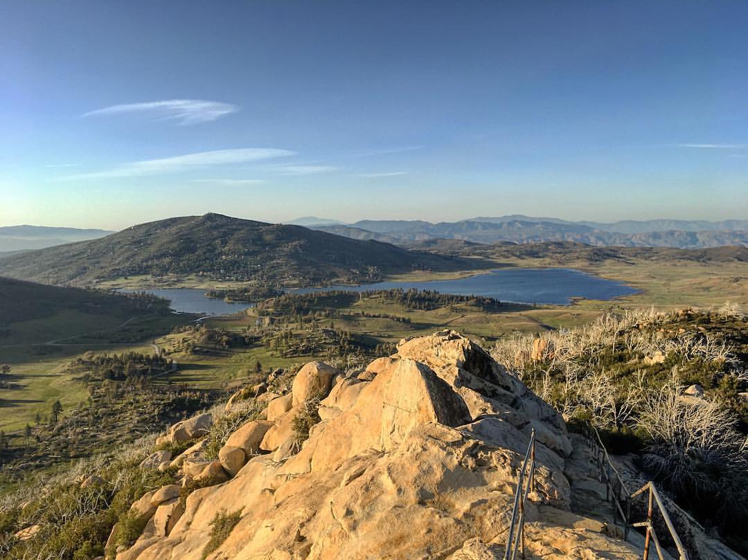
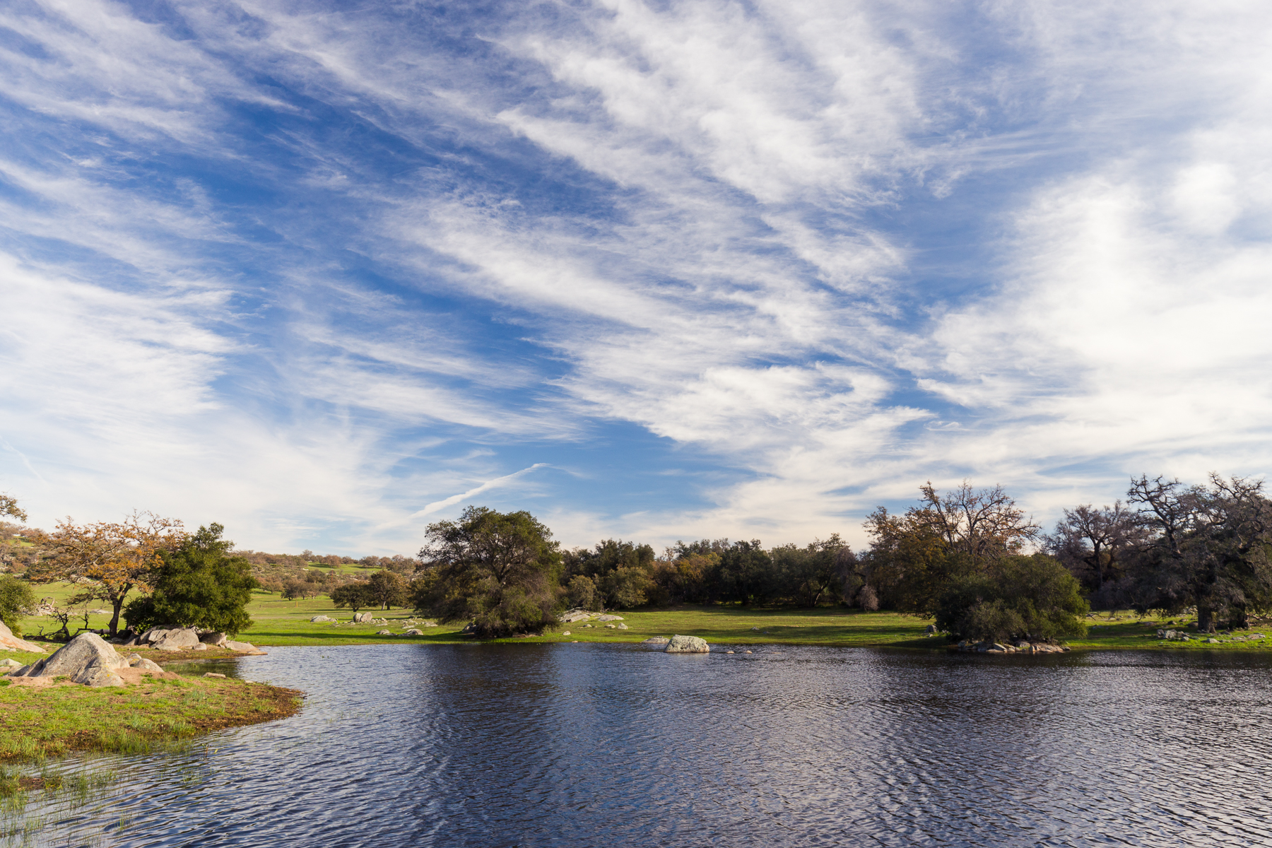
Lake Cuyamaca and Julian, CA
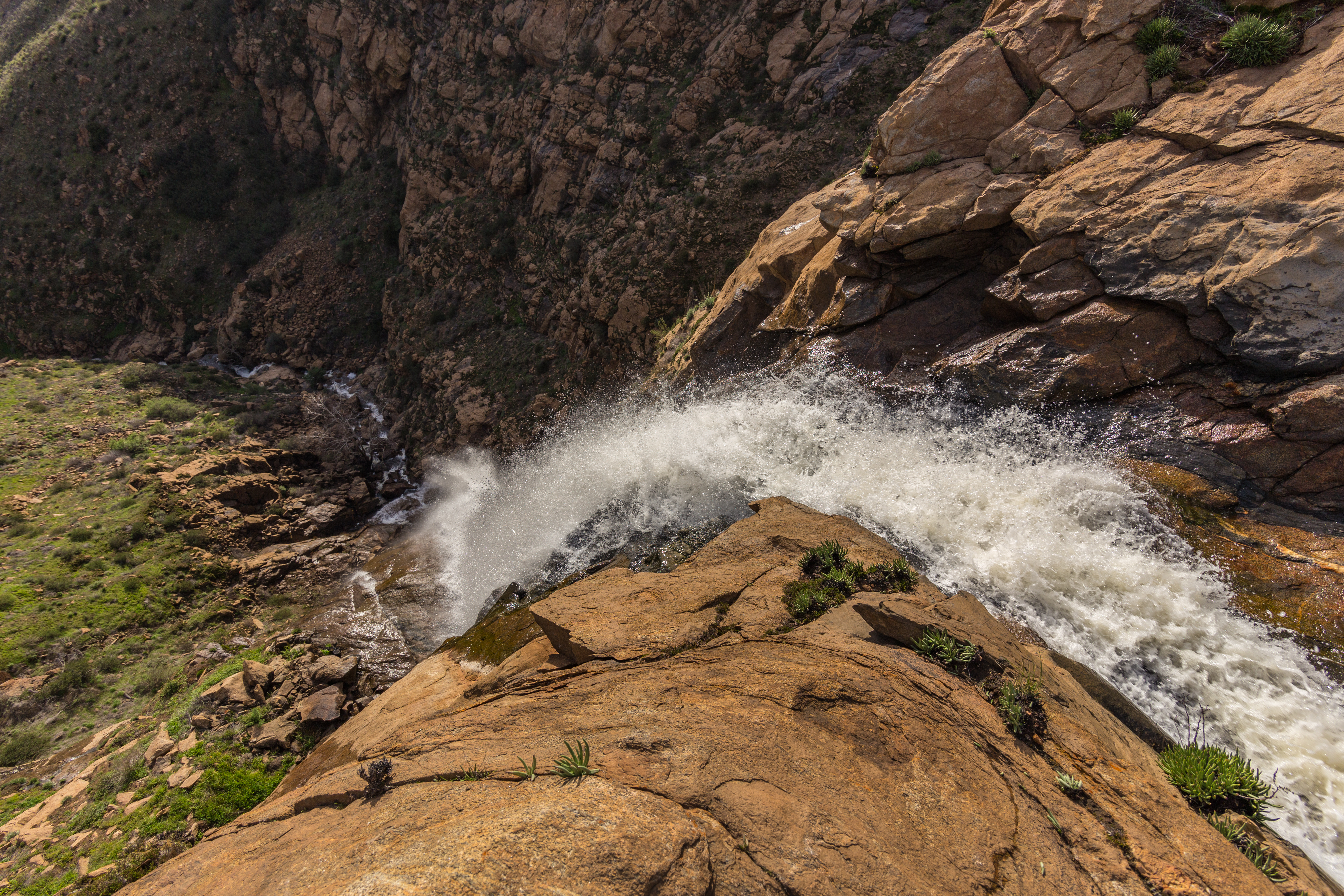
View from the top of Mildred Falls.
I'm taking a hike up to Cuyamaca Peak. Remote control self-portrait.
Desert View
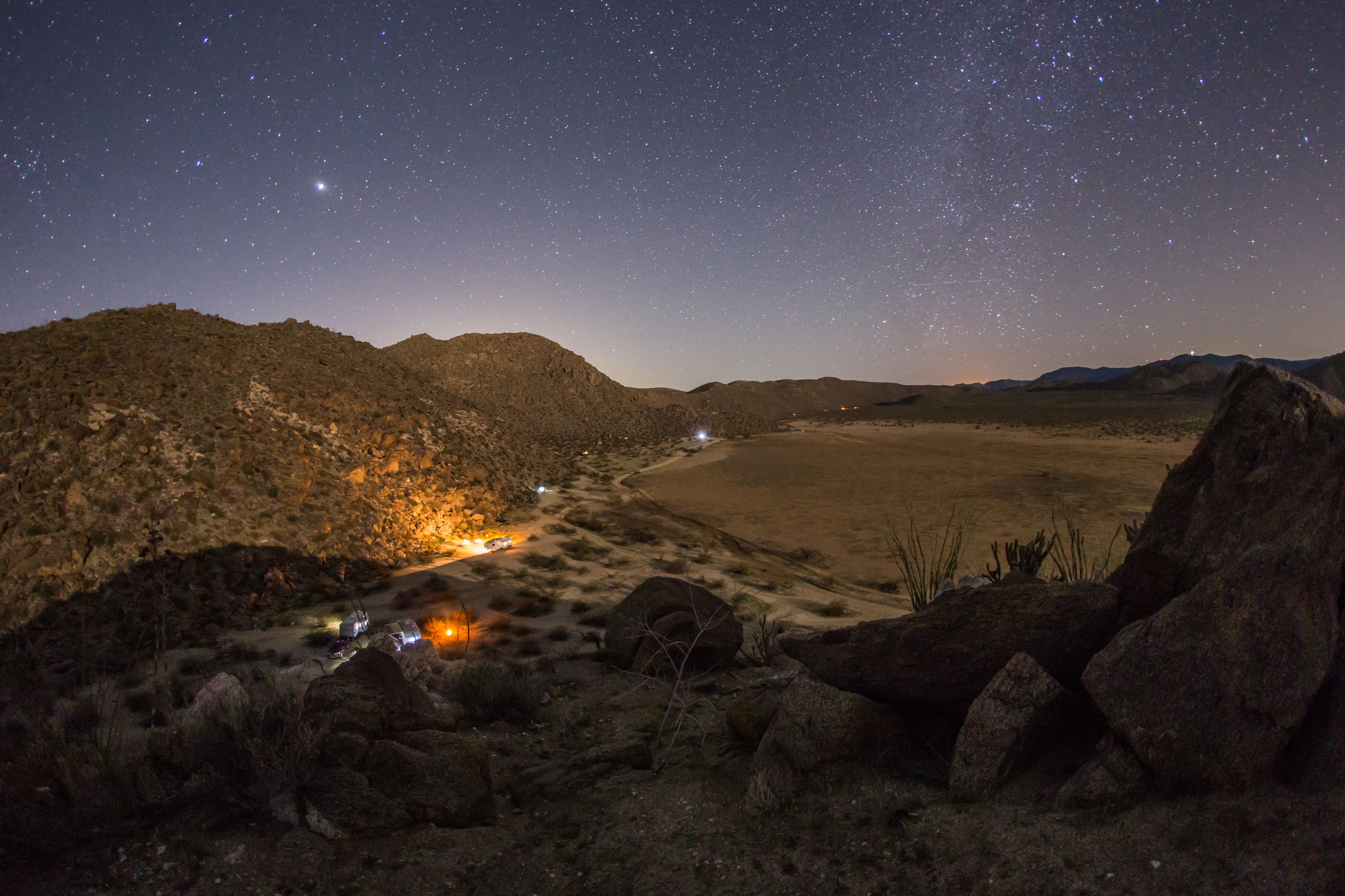
Nighttime view of our campsite in the Blair Valley area of Anza-Borrego Desert State Park
Lake Cuyamaca from Stone Wall Peak
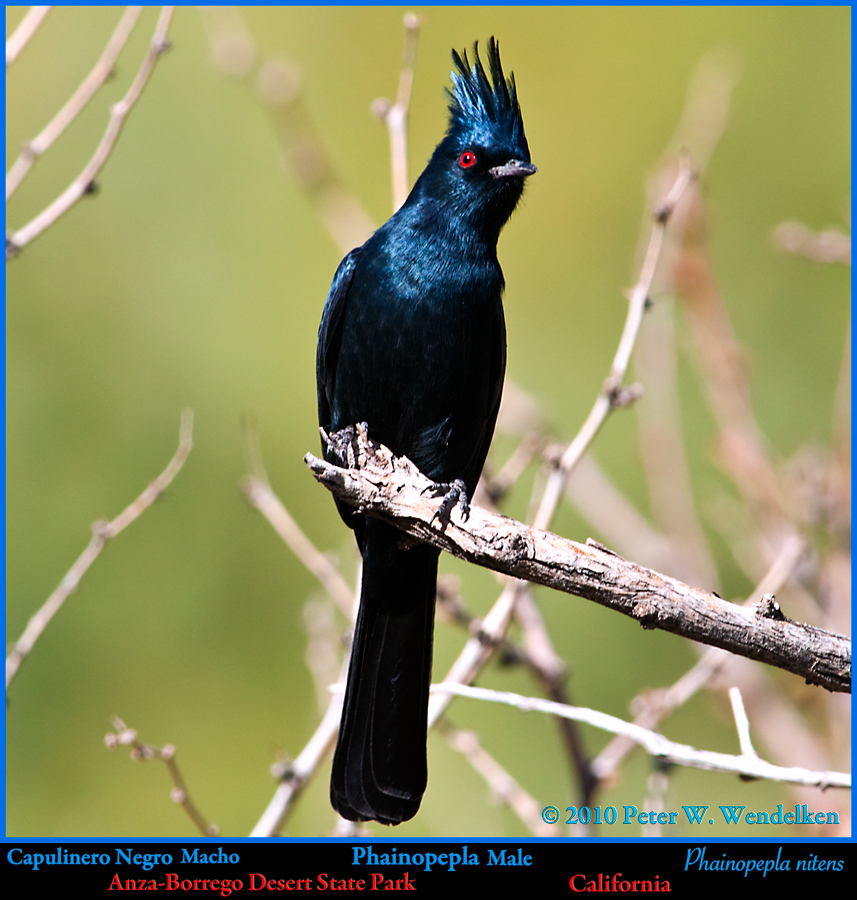
PHAINOPEPLA Male Phainopepla nitens Striking a Pose in Anza-Borrego Desert State Park, California. Photo by Peter Wendelken

150 Zoomed-in view of Granite Mountain from the summit of Volcan Mountain
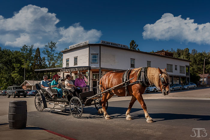
Horse & Carriage Ride
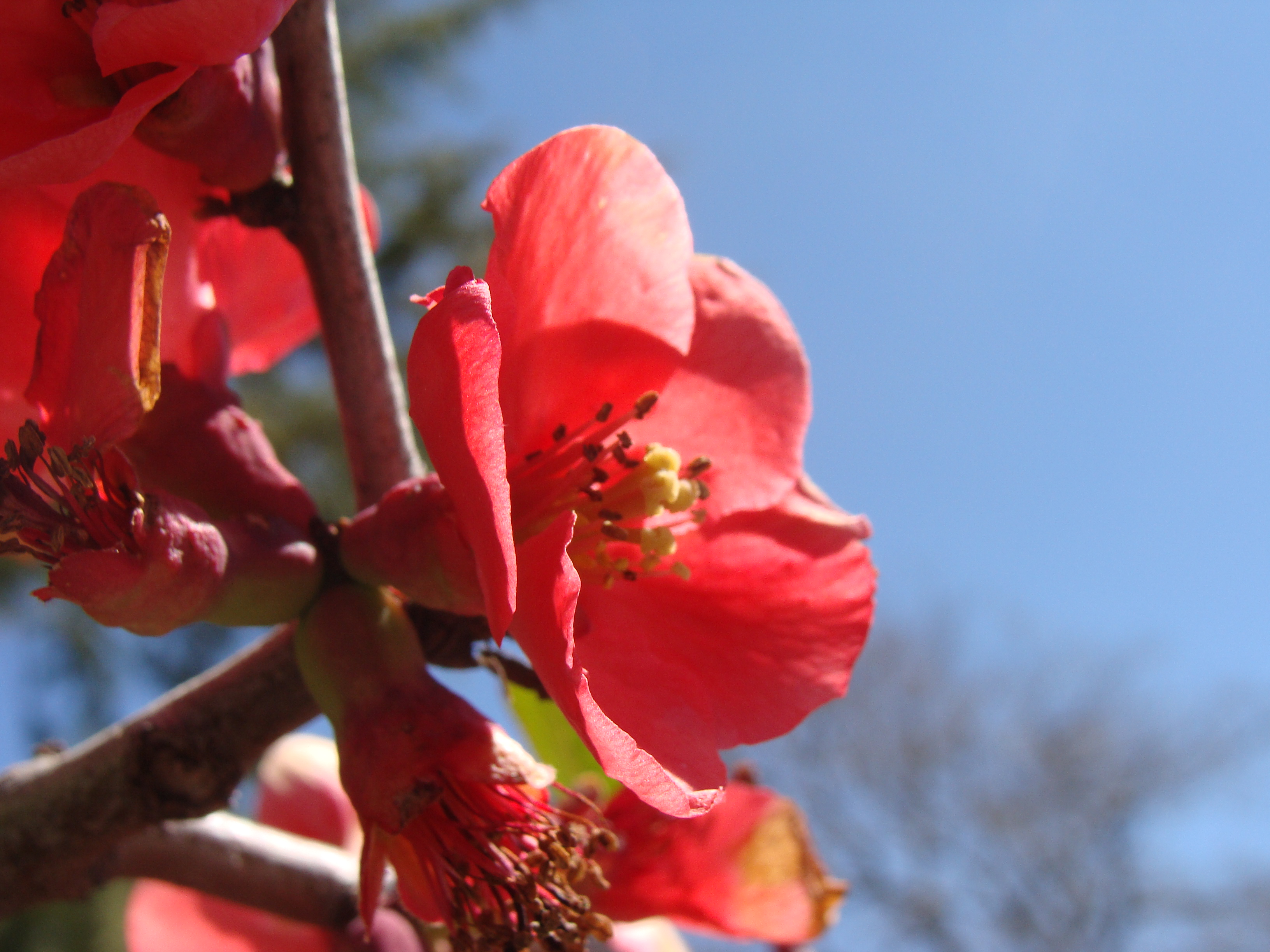
Quince flowers, SOOC, Julian
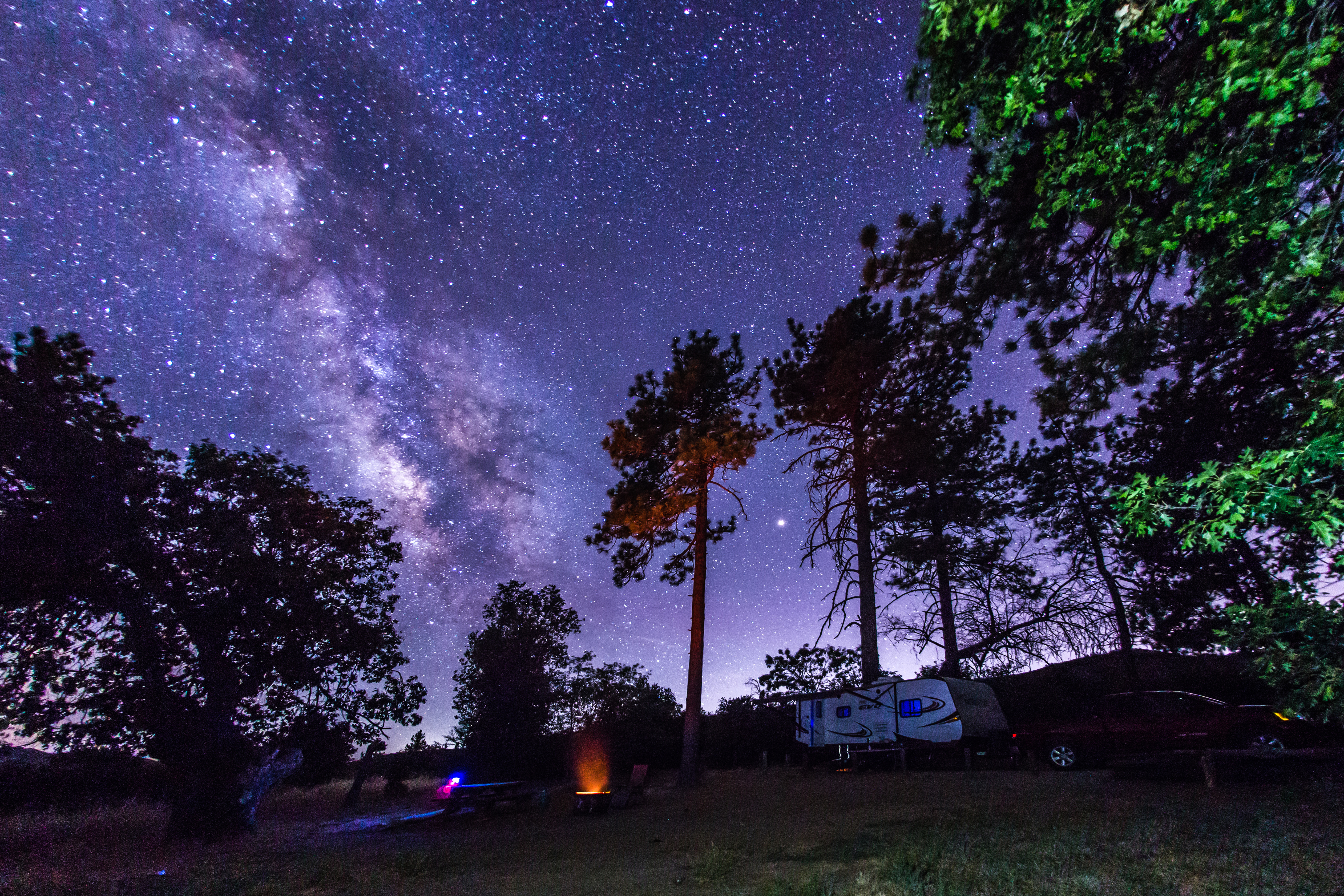
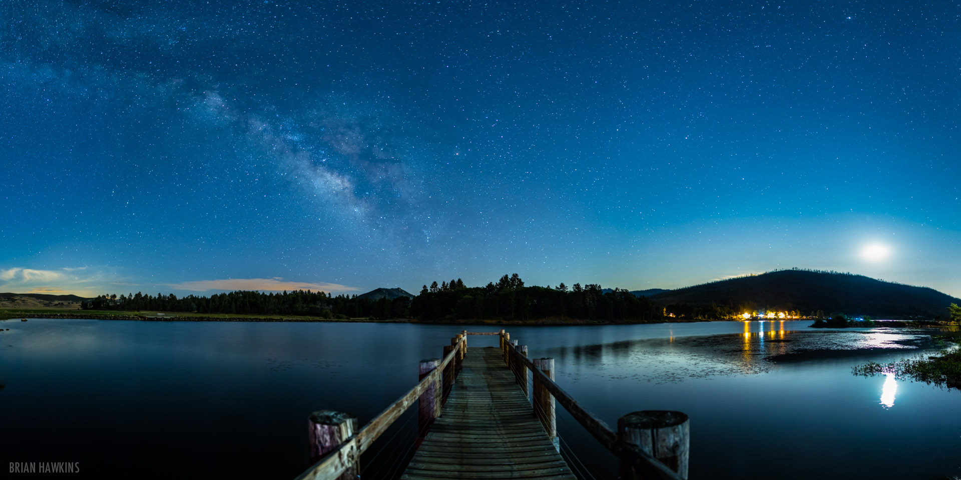
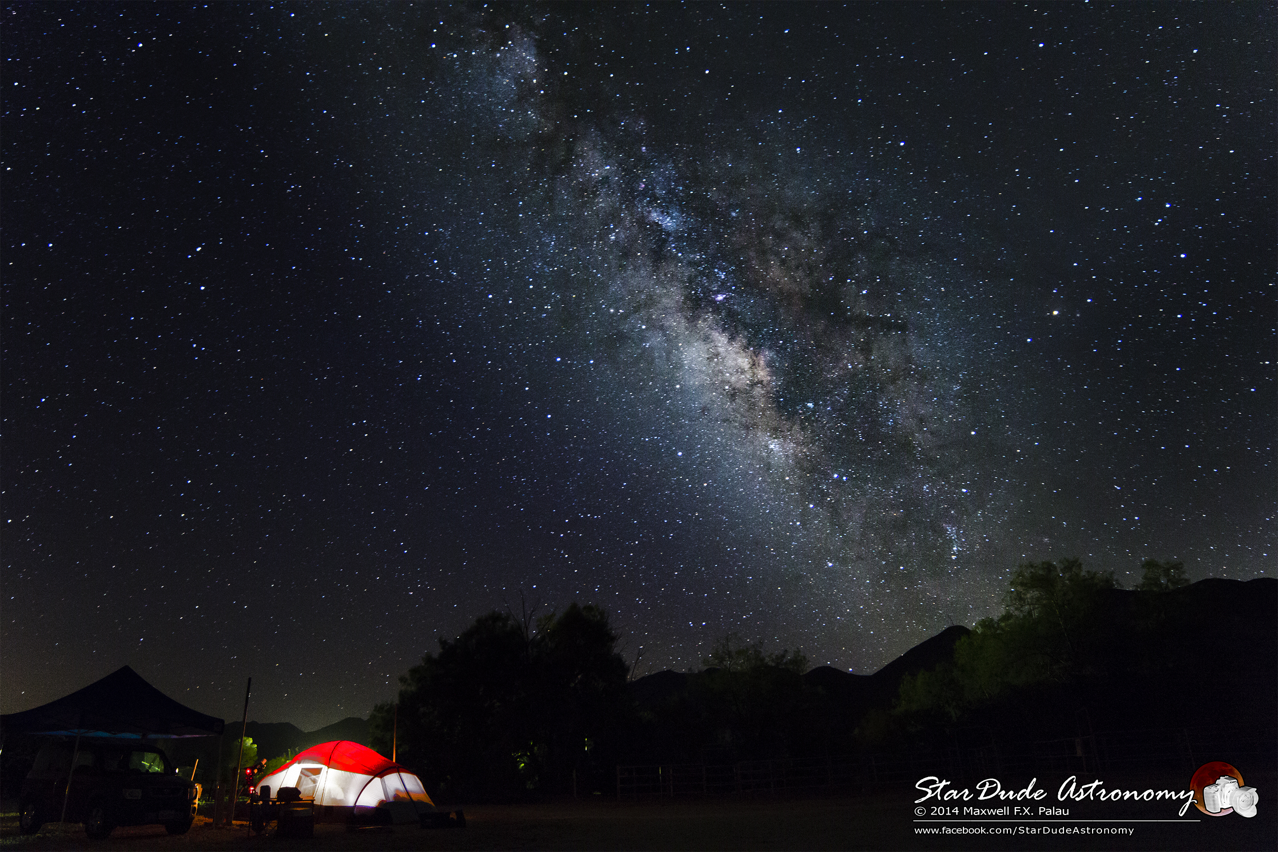
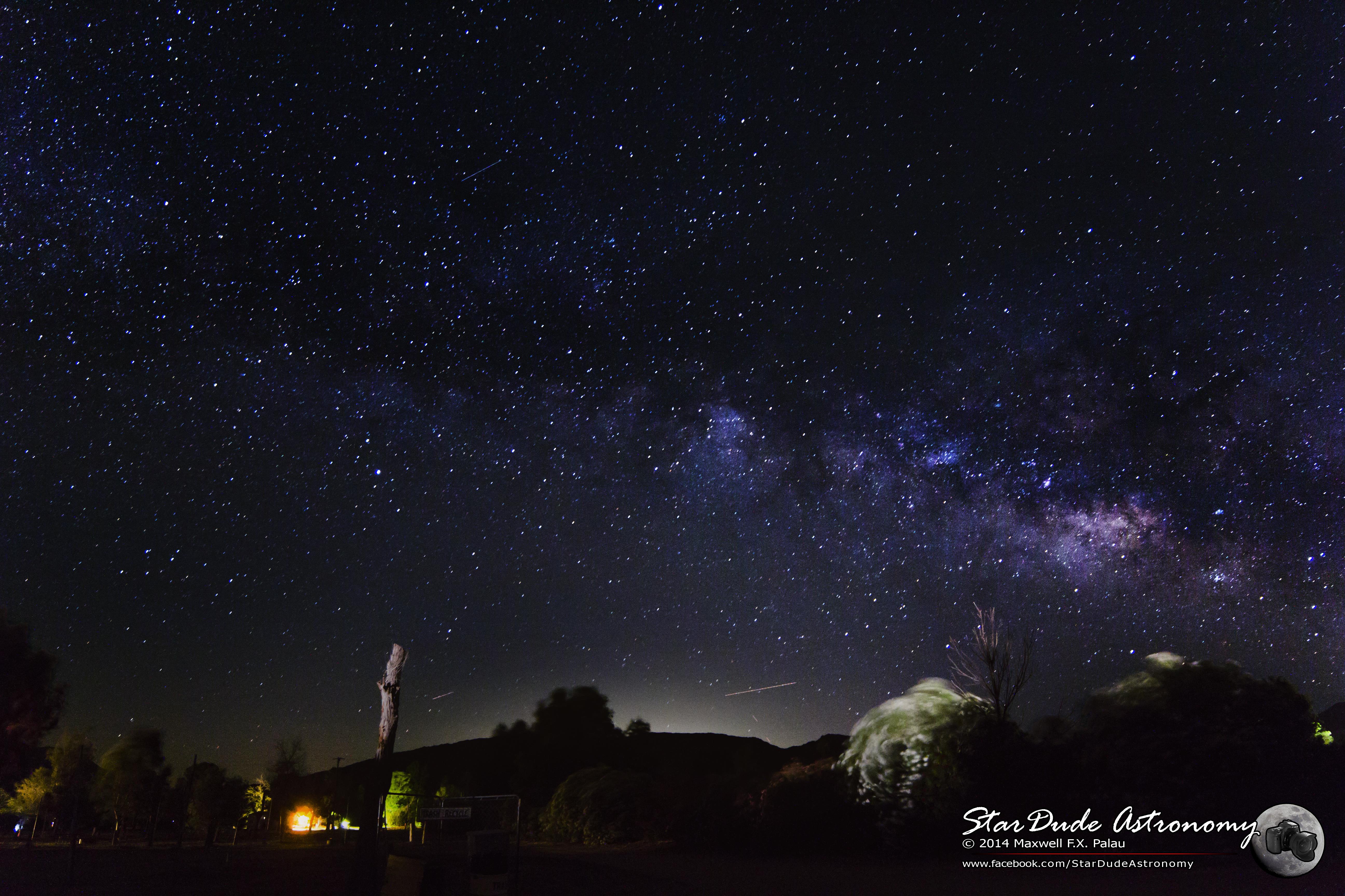
Camping under the Milky Way in Cuyamaca Rancho State Park
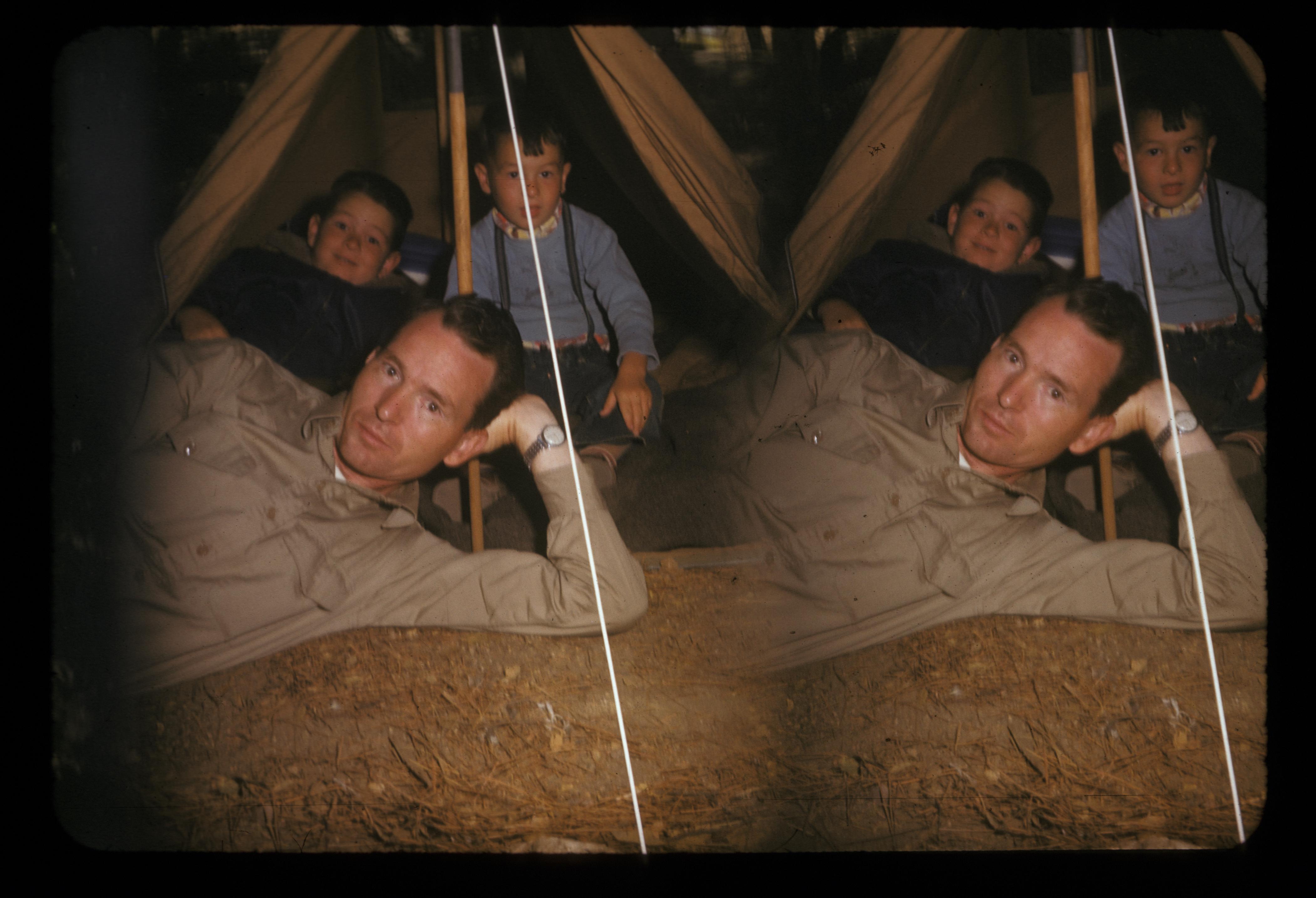
Stereotach camping in Green Valley Falls, near San Diego, 1955 or so
At the top with the family right now. Happy Birthday, Soph.
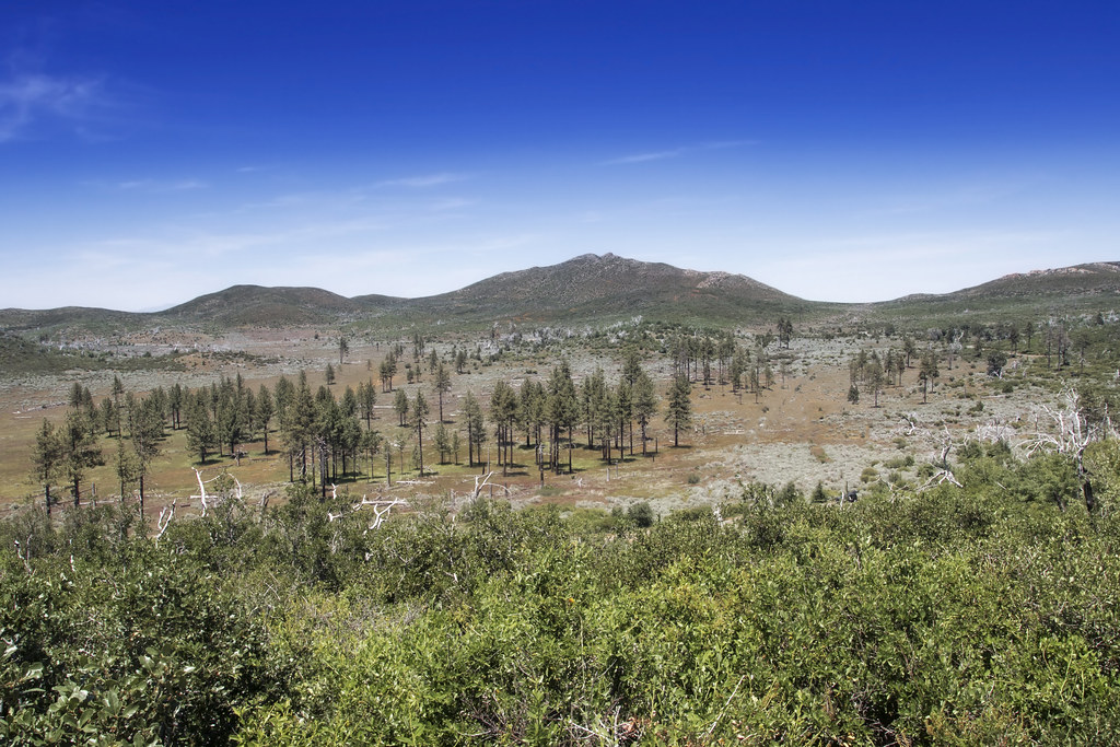
Mountain Meadows and Garnet Peak
2017-04-11_03-16-41
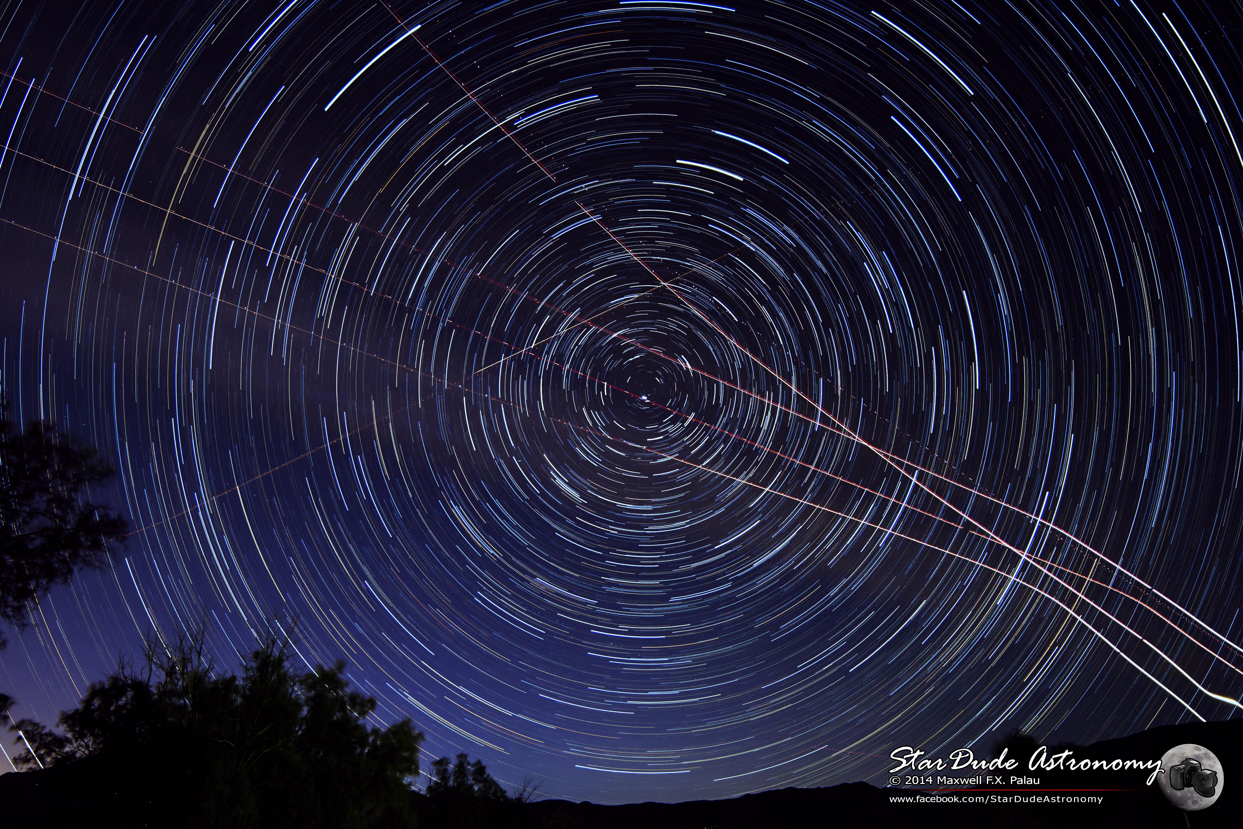
Sky Spirals
Field of Stars
Cedar Creek Falls Hike
Galactic Terminal
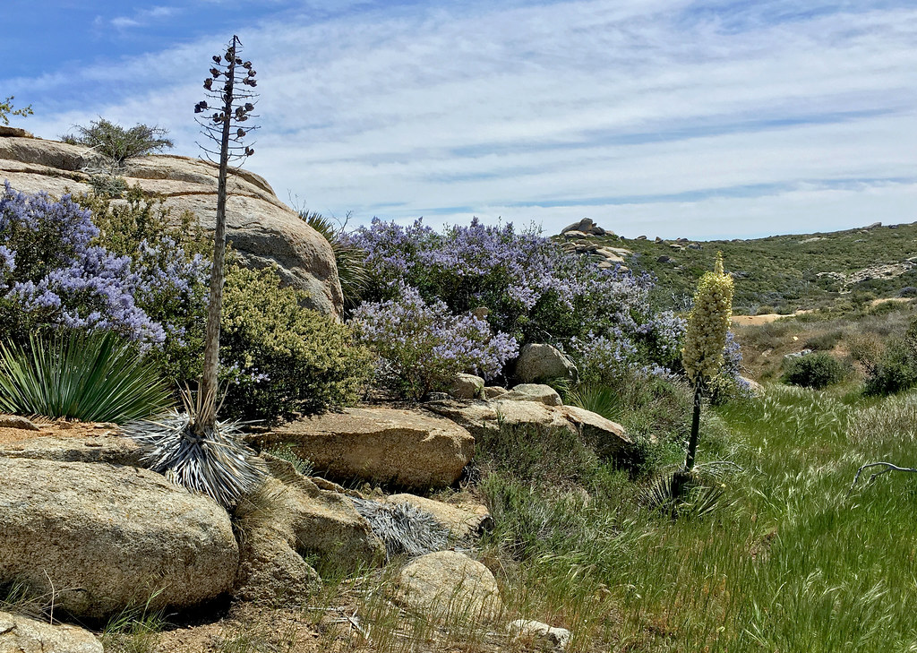
Anza-Borrego Desert State Park
Hidden in the Trees
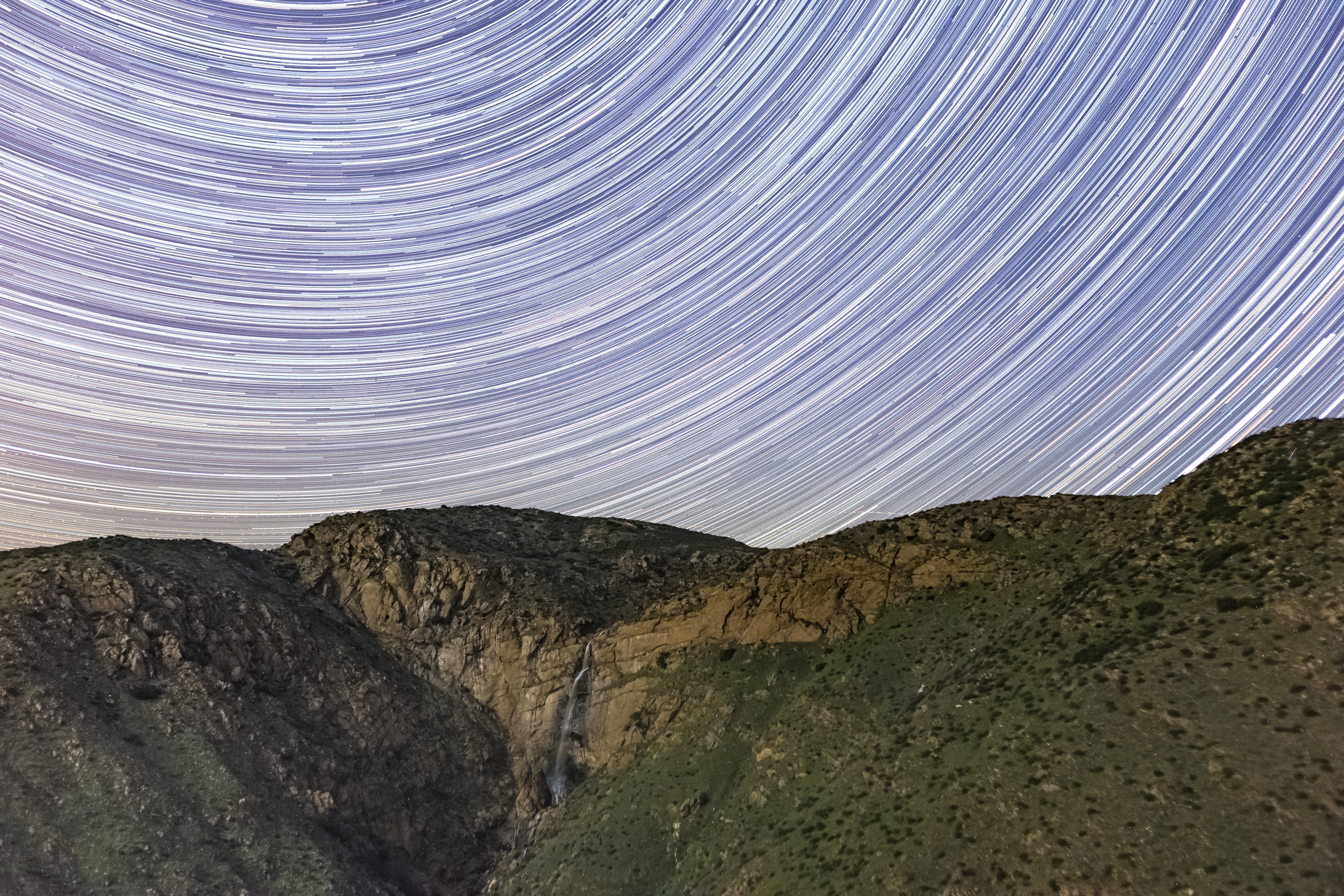
Star Trails and a Waterfall
IMG_6607.jpg

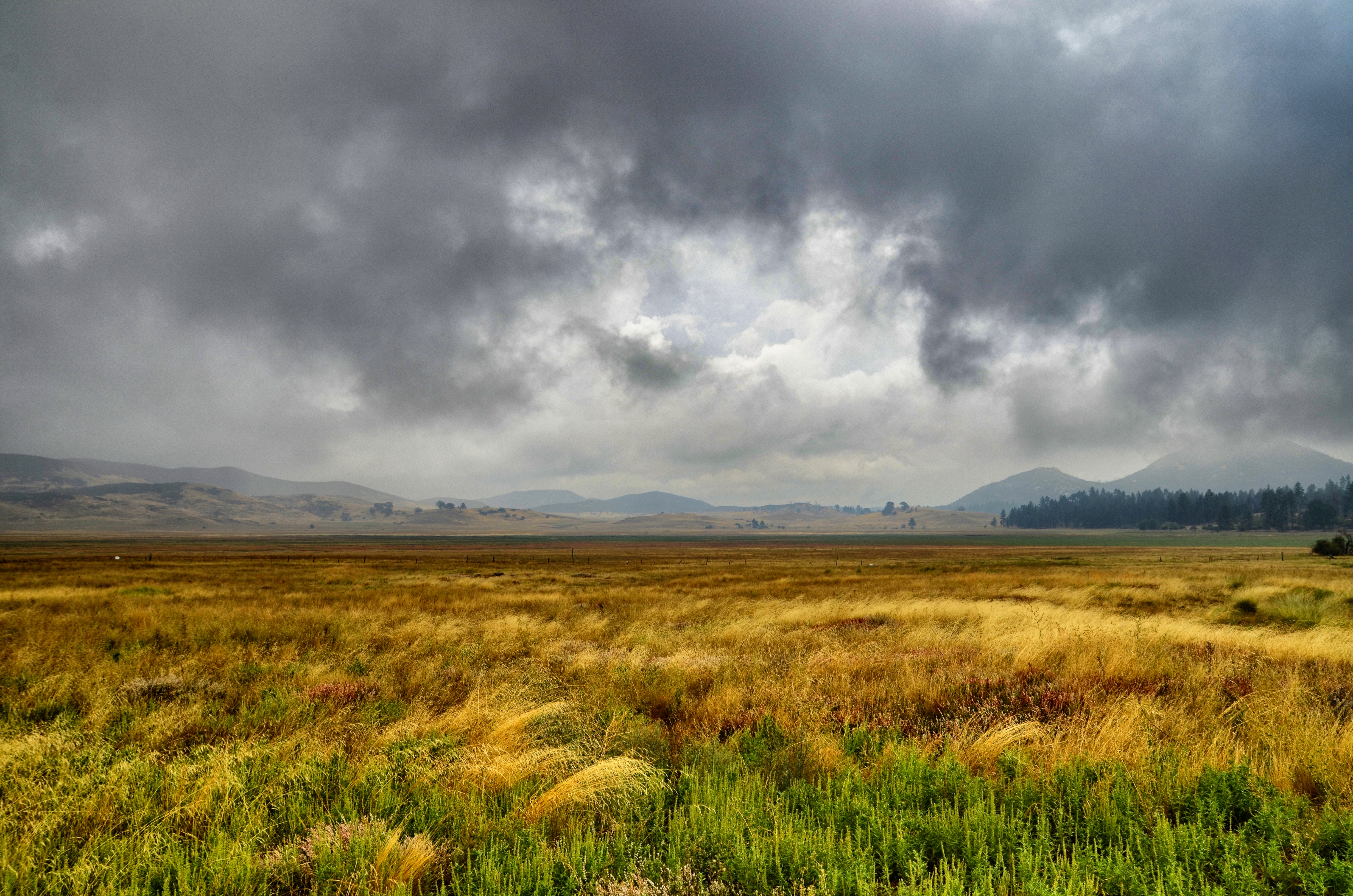
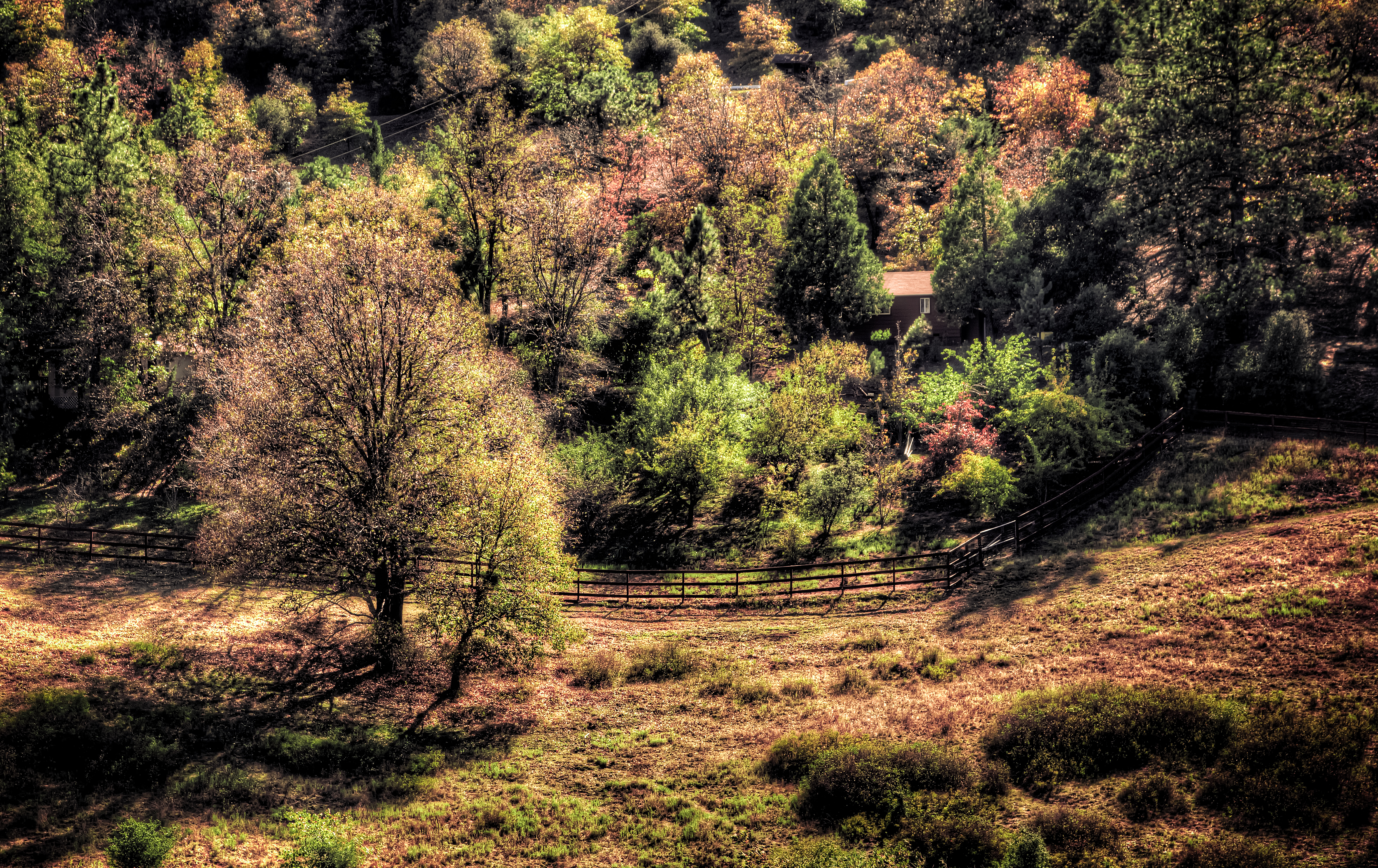
Walking Through the Autumn Landscape
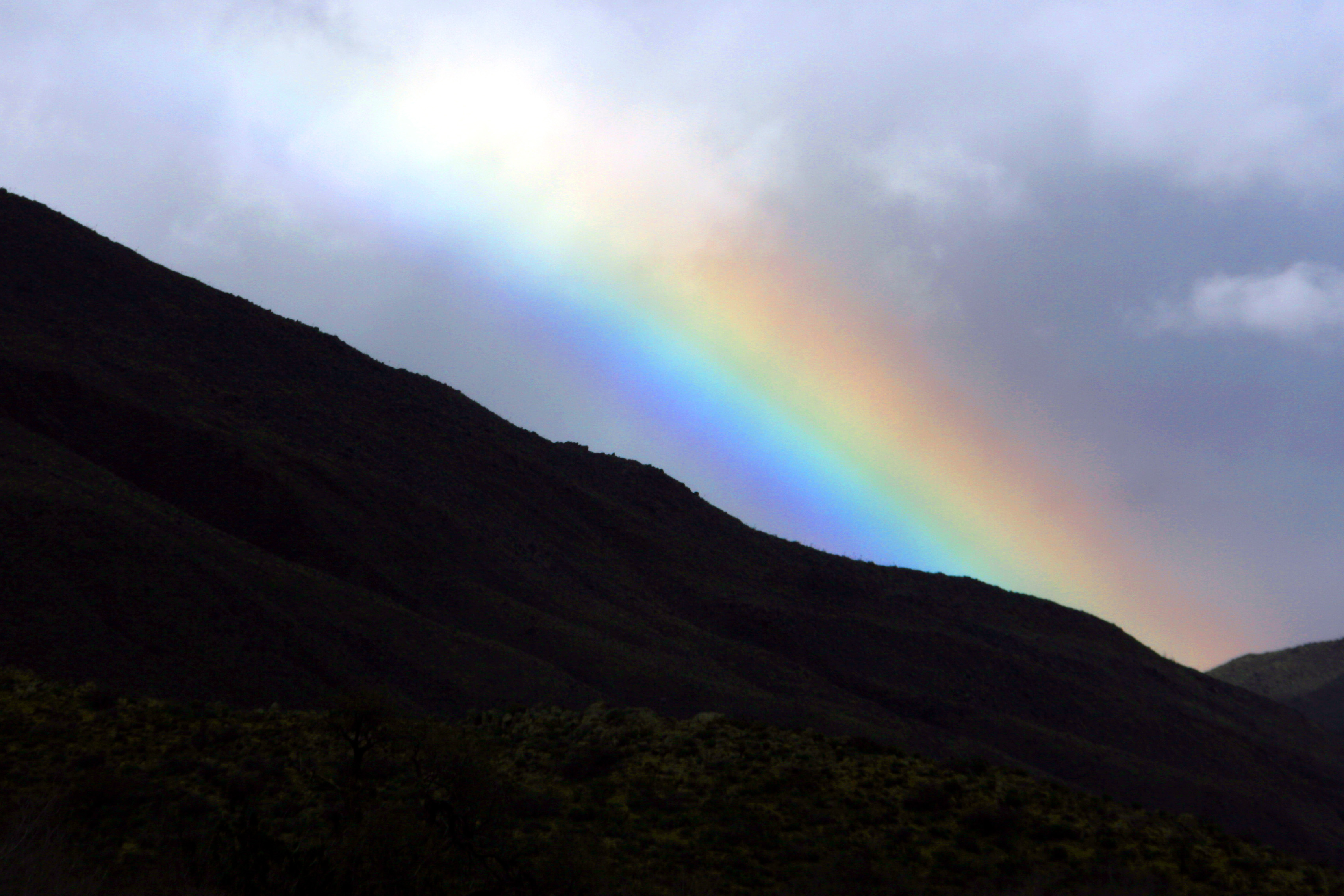
Rainbow in the Anza-Borrego Desert
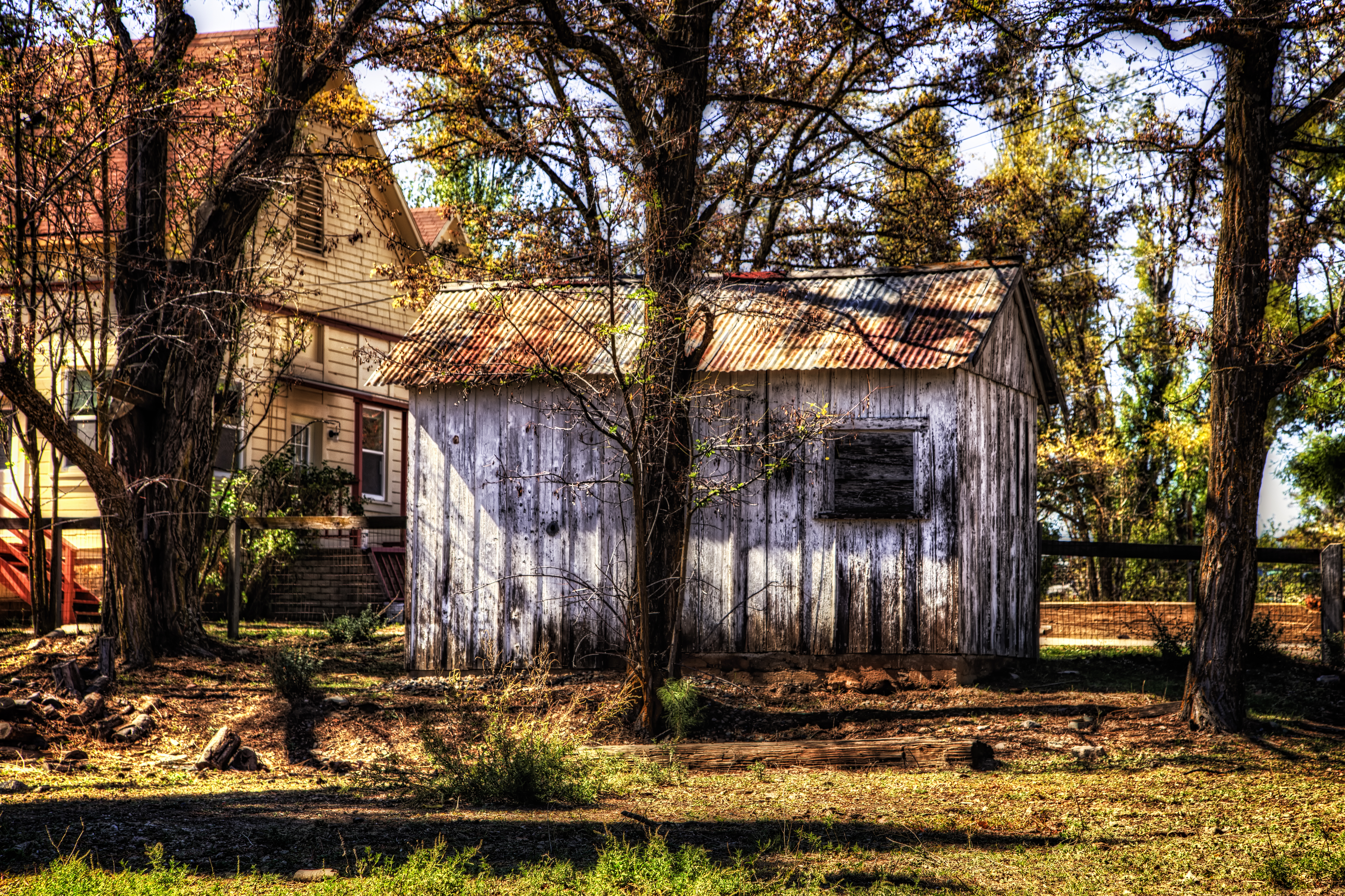
The Old Shack Behind the Trees
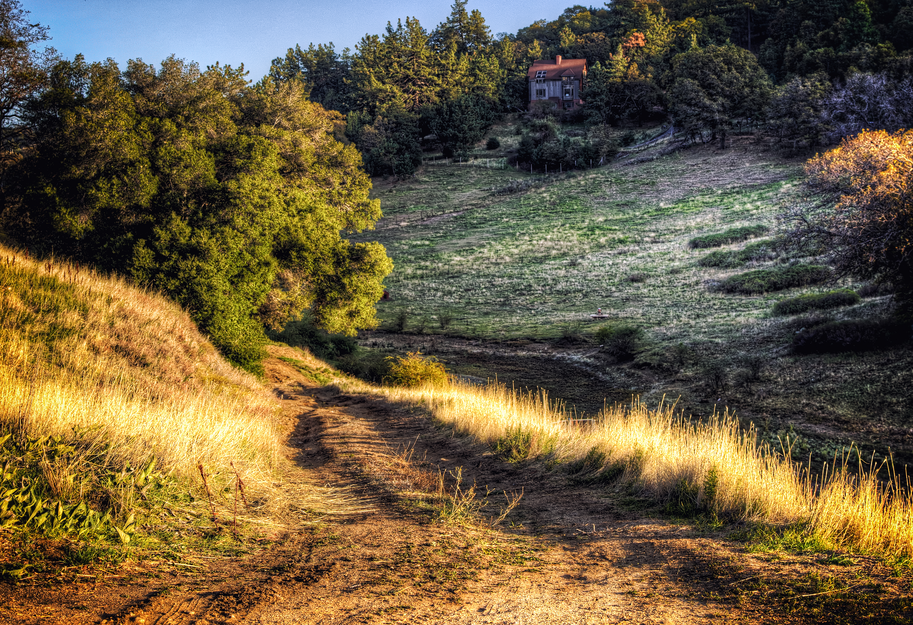
Home on the Mountain

Anza-Borrego Desert State Park

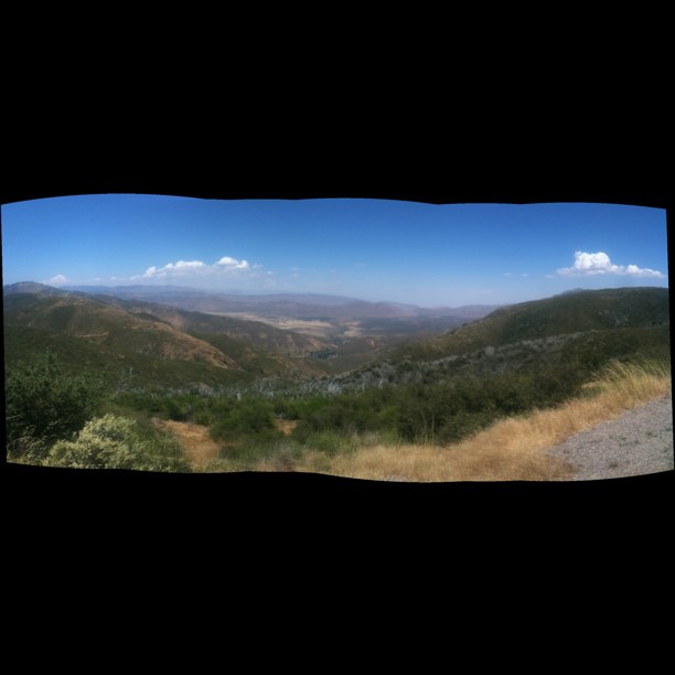
Laguna Mountains, San Diego County, California
Topographic Map of Lois Lane, Lois Ln, Julian, CA, USA
Find elevation by address:

Places near Lois Lane, Lois Ln, Julian, CA, USA:
16950 Iron Springs Rd
35339 Iron Springs Way
35156 Twin Oaks Ln
Harrison Park Road
Harrison Park Road
Harrison Park Road
16686 Iron Springs Rd
West Incense Cedar Road
Kq Ranch Rv Resort
34632 Pima Trail
1626 Frisius Dr
34606 Navajo Rd
5017 Acorn Patch Rd
Lake Cuyamaca
Lake Cuyamaca Restaurant & Store
15027 Ca-79
5764 Grandview Way
7263 Starlight Way
7904 Engineers Rd
7077 Sandy Creek Rd
Recent Searches:
- Elevation of Corso Fratelli Cairoli, 35, Macerata MC, Italy
- Elevation of Tallevast Rd, Sarasota, FL, USA
- Elevation of 4th St E, Sonoma, CA, USA
- Elevation of Black Hollow Rd, Pennsdale, PA, USA
- Elevation of Oakland Ave, Williamsport, PA, USA
- Elevation of Pedrógão Grande, Portugal
- Elevation of Klee Dr, Martinsburg, WV, USA
- Elevation of Via Roma, Pieranica CR, Italy
- Elevation of Tavkvetili Mountain, Georgia
- Elevation of Hartfords Bluff Cir, Mt Pleasant, SC, USA