Elevation of West Flatiron, Colorado, USA
Location: United States > Colorado > Somerset >
Longitude: -107.41533
Latitude: 38.9002679
Elevation: 2581m / 8468feet
Barometric Pressure: 74KPa
Elevation Map:
Satellite Map:
Related Photos:

Marcellina Mountain 2

Kebler Pass Goodness
Stuck on Hwy 133 at Paonia Reservoir
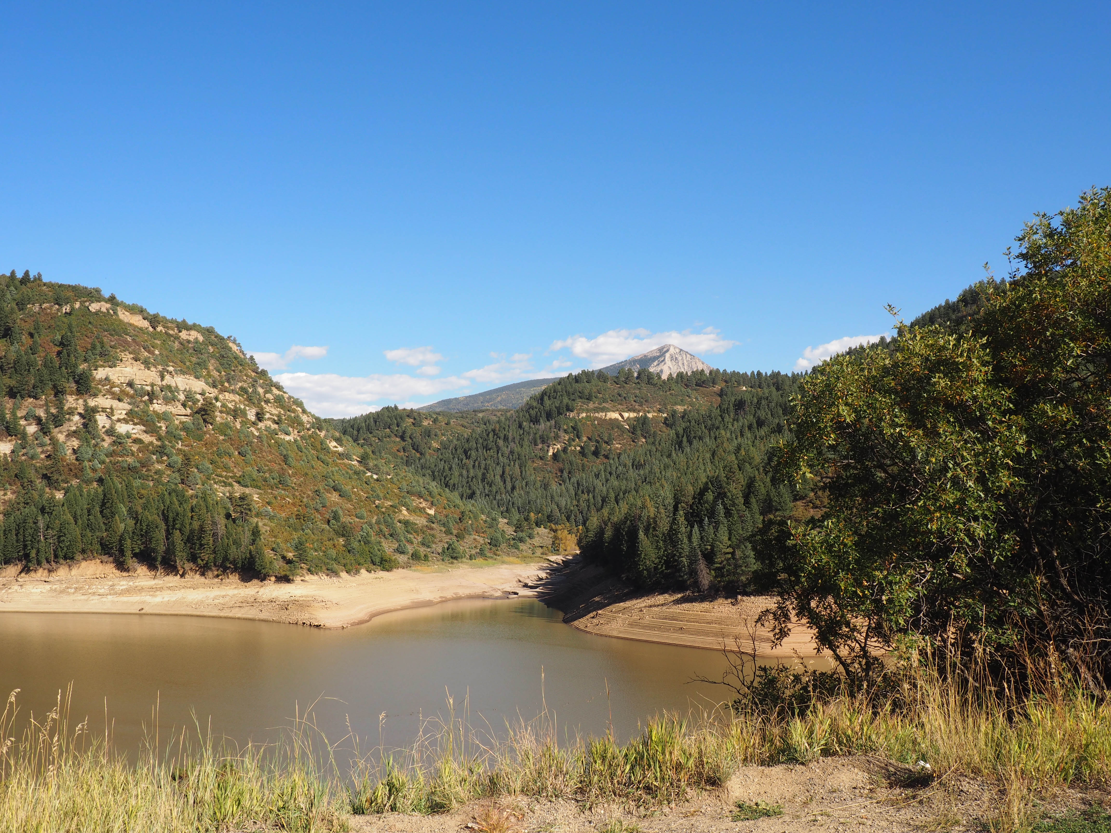
View at a bend in the road

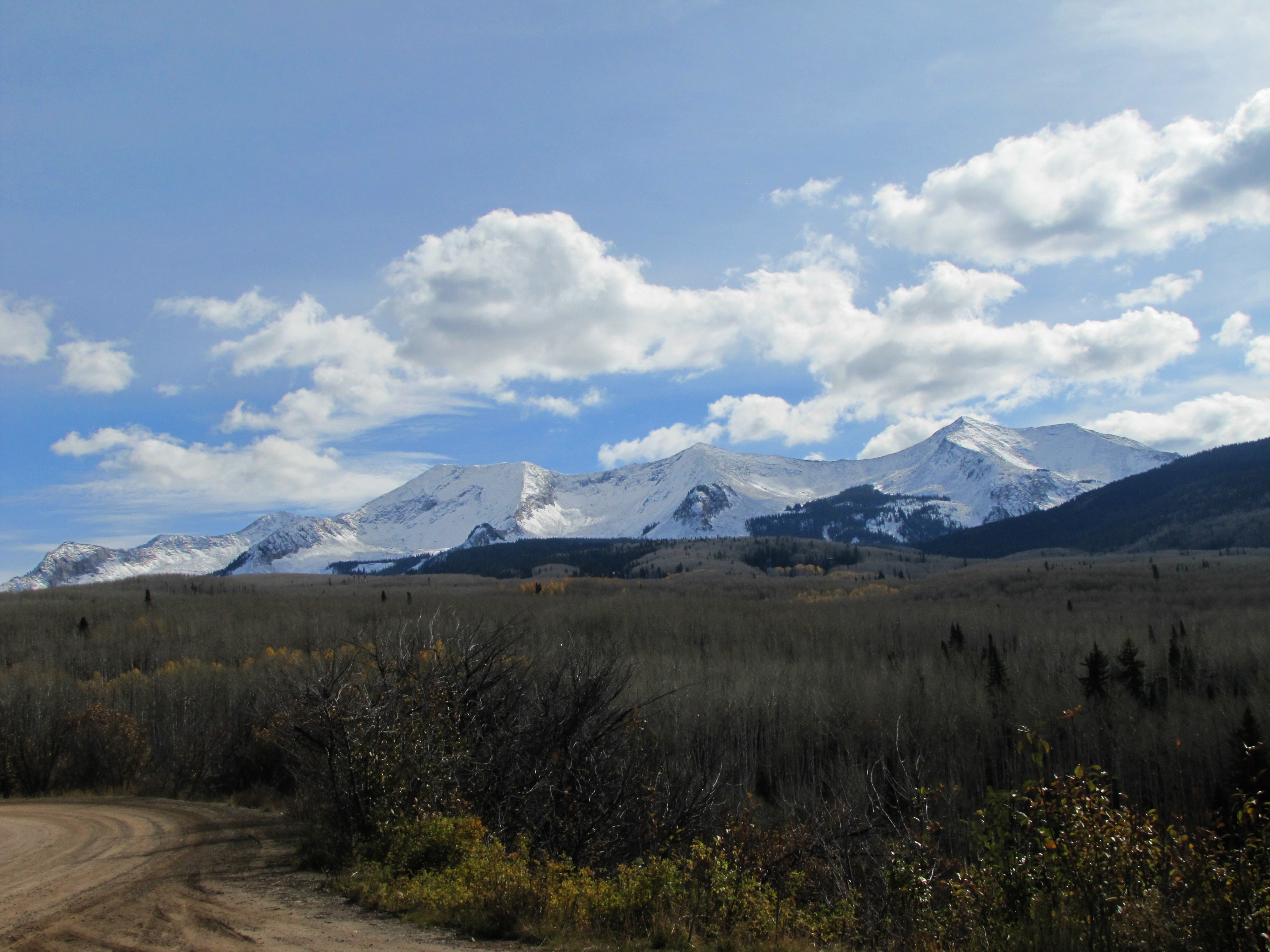
West Beckwith Mountain
Topographic Map of West Flatiron, Colorado, USA
Find elevation by address:

Places near West Flatiron, Colorado, USA:
8957 Co-133
Somerset
Paonia State Park
Mount Gunnison
27711 Co Rd 12
Buck Mesa
Bowie Rd, Paonia, CO, USA
Minnesota Creek Road
25964 Co Rd 12
Moseley Ridge
West Beckwith Peak
25130 Co Rd 12
16228 Grange Rd
446 Vista Dr
1200 3rd St
Marcellina Mountain
Paonia
1st Street
Ragged Peak
East Beckwith Mountain
Recent Searches:
- Elevation of Corso Fratelli Cairoli, 35, Macerata MC, Italy
- Elevation of Tallevast Rd, Sarasota, FL, USA
- Elevation of 4th St E, Sonoma, CA, USA
- Elevation of Black Hollow Rd, Pennsdale, PA, USA
- Elevation of Oakland Ave, Williamsport, PA, USA
- Elevation of Pedrógão Grande, Portugal
- Elevation of Klee Dr, Martinsburg, WV, USA
- Elevation of Via Roma, Pieranica CR, Italy
- Elevation of Tavkvetili Mountain, Georgia
- Elevation of Hartfords Bluff Cir, Mt Pleasant, SC, USA