Elevation of West Edmeston, NY, USA
Location: United States > New York > Madison County > Brookfield >
Longitude: -75.278221
Latitude: 42.763405
Elevation: 342m / 1122feet
Barometric Pressure: 97KPa
Elevation Map:
Satellite Map:
Related Photos:

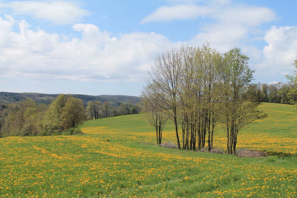
Today's view!!!

A Mother and Her Baby

Lilly, walking

Queen Anne Victorian
Along the Skanateles Turnpike
Small creek in New Berlin

Recently Logged Woods
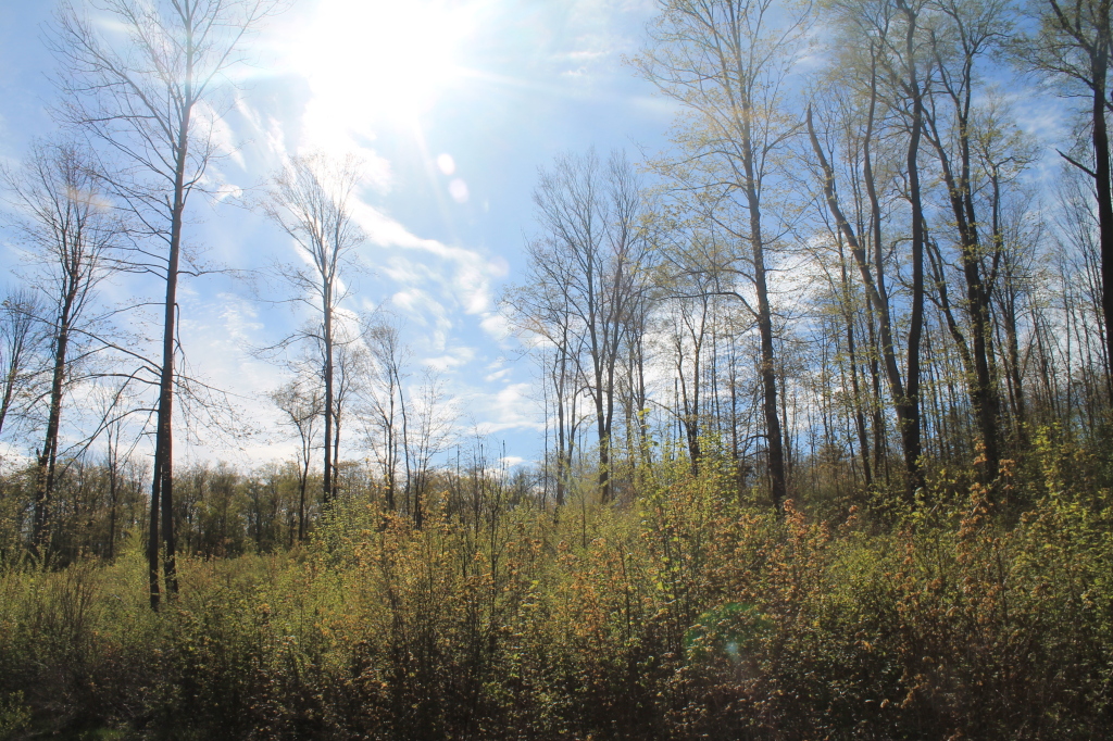
Recently Logged Woods
Lallier-Walton Wedding-1

Spokey Open Area of the Swamp

Greenwoods Conservancy
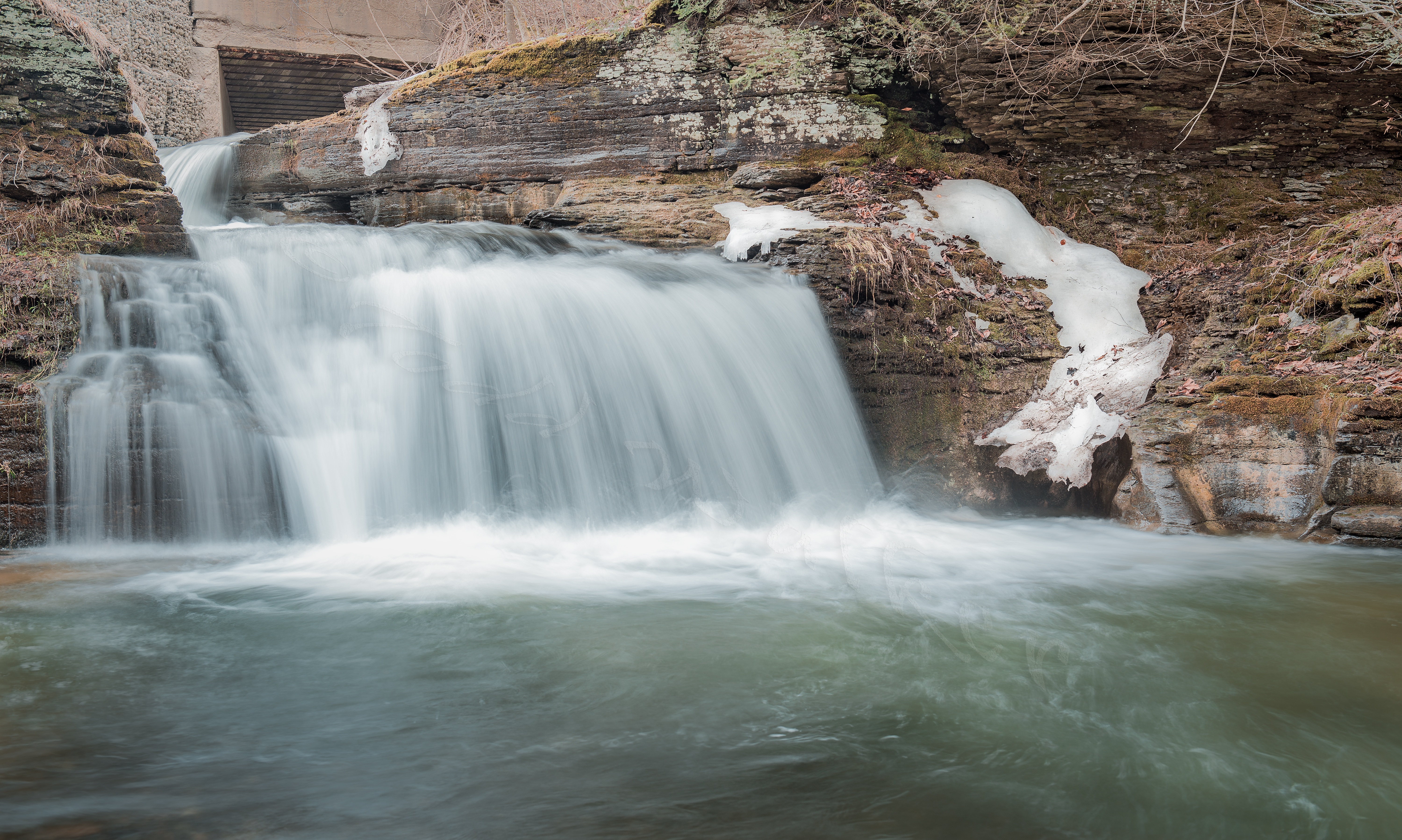
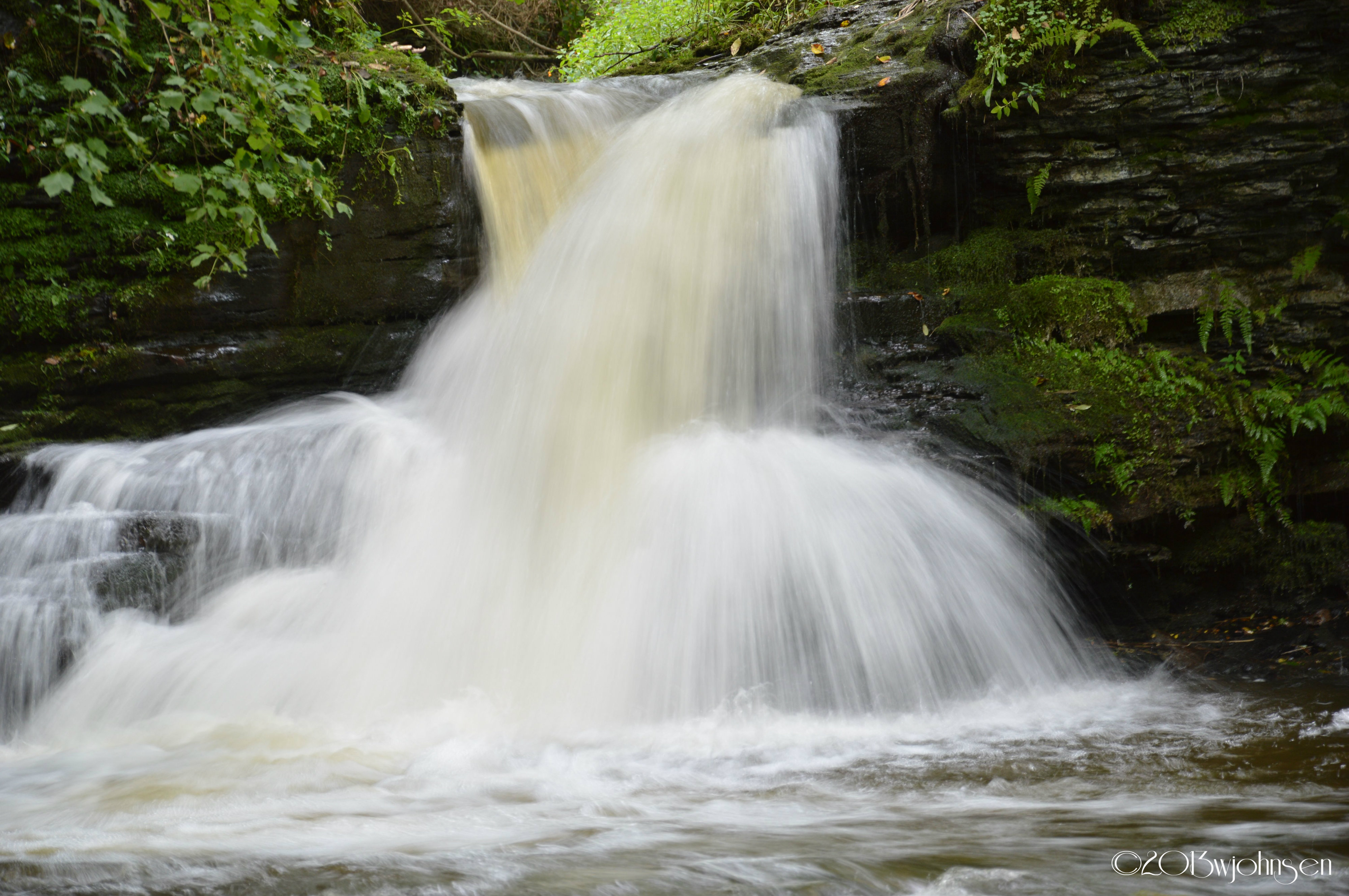
Button Falls

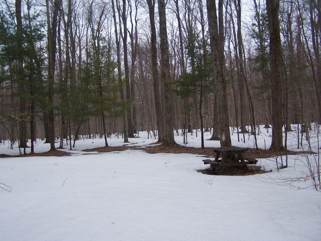
Cherry Hill Camping Area Road
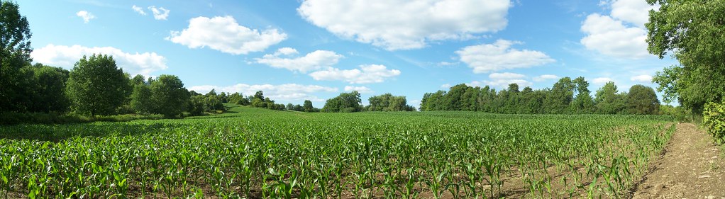
Central New York corn field
Campsite 3

Heading Back
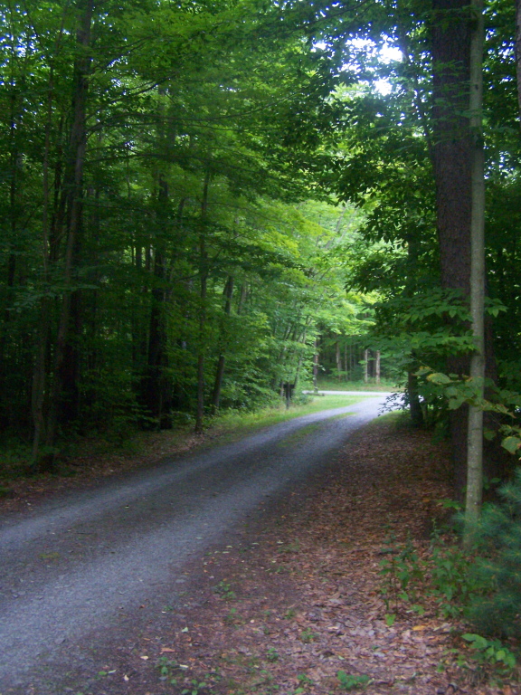
Cherry Ridge Truck Trail
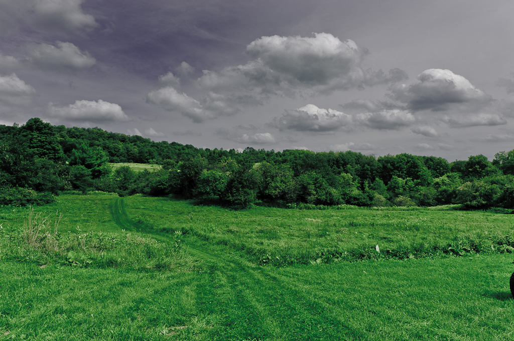
Along the Swamp

Spiderweb 1
Peering Down Into Beaver Creek Valley

Spiderweb 2
Boat Launch

Horseshoe RIng

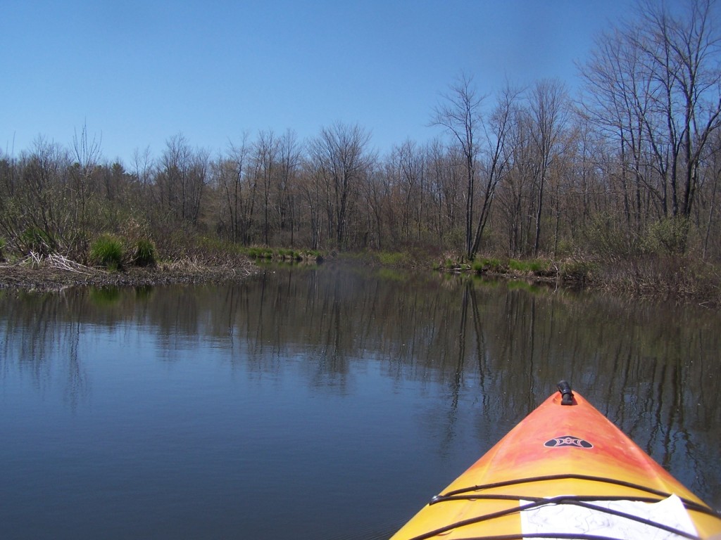
Heading Out on the Sangerfield River
Hiking Up an Ice Covered Murphy Road
Topographic Map of West Edmeston, NY, USA
Find elevation by address:

Places in West Edmeston, NY, USA:
Places near West Edmeston, NY, USA:
Welch Rd, West Edmeston, NY, USA
10851 Hoxie Rd
NY-8, Columbus, NY, USA
County Rd 41, New Berlin, NY, USA
Brookfield
1417 County Rd 24
4937 County Hwy 18
4937 County Hwy 18
9630 Us-20
Bridgewater
Sears Pond Road
8213 Bailey Lake Rd
Skaneateles Turnpike, Hubbardsville, NY, USA
1664 Ny-12
Gorton Lake Rd, Waterville, NY, USA
1601 Humphrey Rd
Hubbardsville
941 Ny-12
7543 Chappel Rd
Earlville Rd, Hamilton, NY, USA
Recent Searches:
- Elevation of Corso Fratelli Cairoli, 35, Macerata MC, Italy
- Elevation of Tallevast Rd, Sarasota, FL, USA
- Elevation of 4th St E, Sonoma, CA, USA
- Elevation of Black Hollow Rd, Pennsdale, PA, USA
- Elevation of Oakland Ave, Williamsport, PA, USA
- Elevation of Pedrógão Grande, Portugal
- Elevation of Klee Dr, Martinsburg, WV, USA
- Elevation of Via Roma, Pieranica CR, Italy
- Elevation of Tavkvetili Mountain, Georgia
- Elevation of Hartfords Bluff Cir, Mt Pleasant, SC, USA