Elevation of Welka Rd, Flomaton, AL, USA
Location: United States > Alabama > Escambia County > Flomaton >
Longitude: -87.2021031
Latitude: 31.0143387
Elevation: 21m / 69feet
Barometric Pressure: 0KPa
Related Photos:

L180 Wawbeek Alabama

Duck Sunset
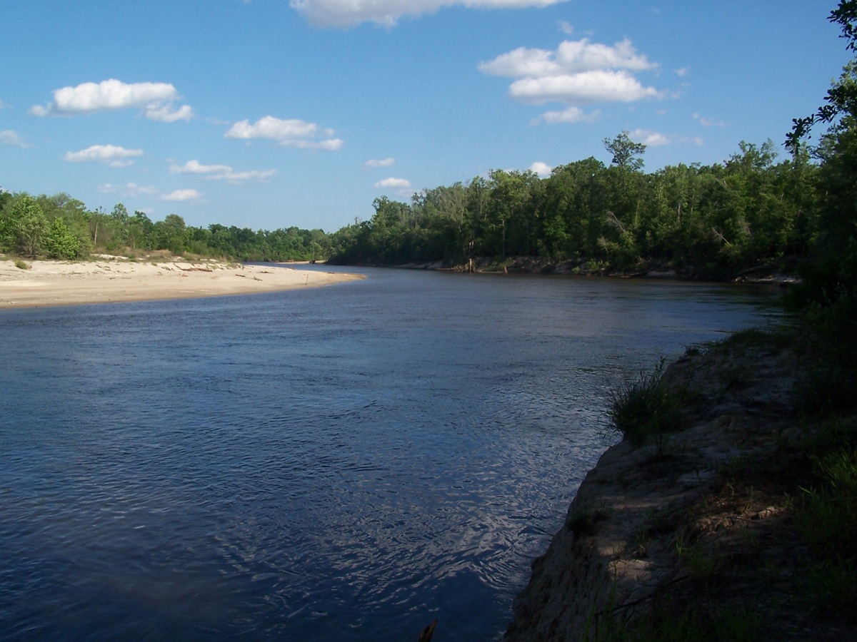
Escambia River

#sunrise #alabama

Wawbeek Al, Pusher, 5mph

Bluff Springs Beaver Dam

Escambia River
DSC_1187.jpg
_DSC0058.jpg

_DSC0046.jpg
Topographic Map of Welka Rd, Flomaton, AL, USA
Find elevation by address:

Places near Welka Rd, Flomaton, AL, USA:
Campbell Rd, Century, FL, USA
Houston St, Flomaton, AL, USA
Flomaton
1002 Palafox St
Century
121 2nd St
241 Bridlepath Ln
345 Bridlepath Ln
48 Sam Jones Rd, Atmore, AL, USA
7599 N Pine Barren Rd
US-31, Atmore, AL, USA
County Rd 99, Century, FL, USA
Robinsonville Rd, Atmore, AL, USA
Old Bratt Rd, Atmore, AL, USA
2211 Old Bratt Rd
1587 Airport Rd
Medical Park Dr, Atmore, AL, USA
AL-21, Atmore, AL, USA
Atmore
Grubbs St, Atmore, AL, USA
Recent Searches:
- Elevation of 2881, Chabot Drive, San Bruno, San Mateo County, California, 94066, USA
- Elevation of 10370, West 107th Circle, Westminster, Jefferson County, Colorado, 80021, USA
- Elevation of 611, Roman Road, Old Ford, Bow, London, England, E3 2RW, United Kingdom
- Elevation of 116, Beartown Road, Underhill, Chittenden County, Vermont, 05489, USA
- Elevation of Window Rock, Colfax County, New Mexico, 87714, USA
- Elevation of 4807, Rosecroft Street, Kempsville Gardens, Virginia Beach, Virginia, 23464, USA
- Elevation map of Matawinie, Quebec, Canada
- Elevation of Sainte-Émélie-de-l'Énergie, Matawinie, Quebec, Canada
- Elevation of Rue du Pont, Sainte-Émélie-de-l'Énergie, Matawinie, Quebec, J0K2K0, Canada
- Elevation of 8, Rue de Bécancour, Blainville, Thérèse-De Blainville, Quebec, J7B1N2, Canada
- Elevation of Wilmot Court North, 163, University Avenue West, Northdale, Waterloo, Region of Waterloo, Ontario, N2L6B6, Canada
- Elevation map of Panamá Province, Panama
- Elevation of Balboa, Panamá Province, Panama
- Elevation of San Miguel, Balboa, Panamá Province, Panama
- Elevation of Isla Gibraleón, San Miguel, Balboa, Panamá Province, Panama
- Elevation of 4655, Krischke Road, Schulenburg, Fayette County, Texas, 78956, USA
- Elevation of Carnegie Avenue, Downtown Cleveland, Cleveland, Cuyahoga County, Ohio, 44115, USA
- Elevation of Walhonding, Coshocton County, Ohio, USA
- Elevation of Clifton Down, Clifton, Bristol, City of Bristol, England, BS8 3HU, United Kingdom
- Elevation map of Auvergne-Rhône-Alpes, France