Elevation of Weed Brook Rd, Walton, NY, USA
Location: United States > New York > Delaware County > Walton > Walton >
Longitude: -75.0570444
Latitude: 42.1406096
Elevation: 595m / 1952feet
Barometric Pressure: 0KPa
Related Photos:

Pond.jpg

Frog Prince - On the Queen's Throne

My #officeview today. Working at the Delaware County Fairgrounds. It's been a really long day but the #view is totally worth it. #cloudporn #clouds

From inside

View of living room from stairs
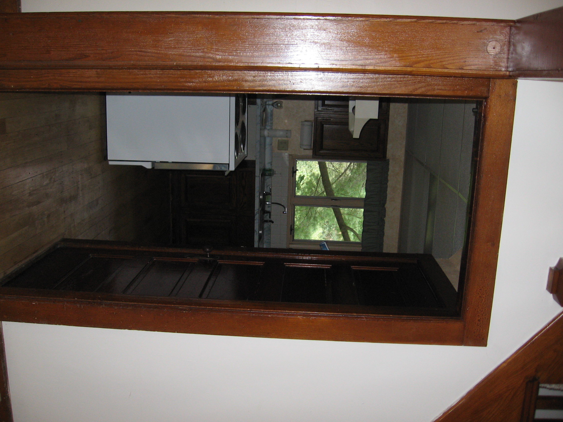
View from living room into kitchen
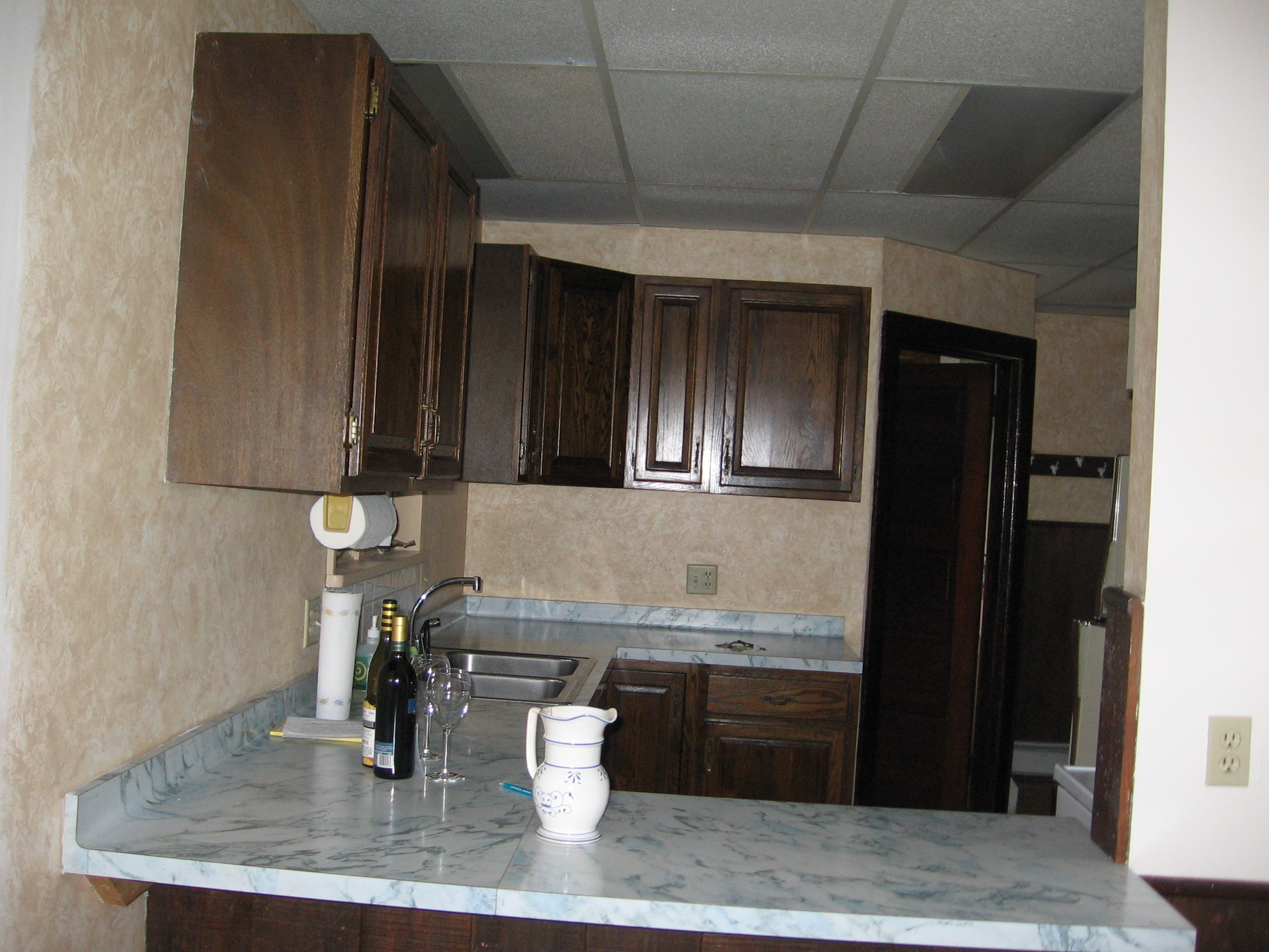
View of kitchen form dining room
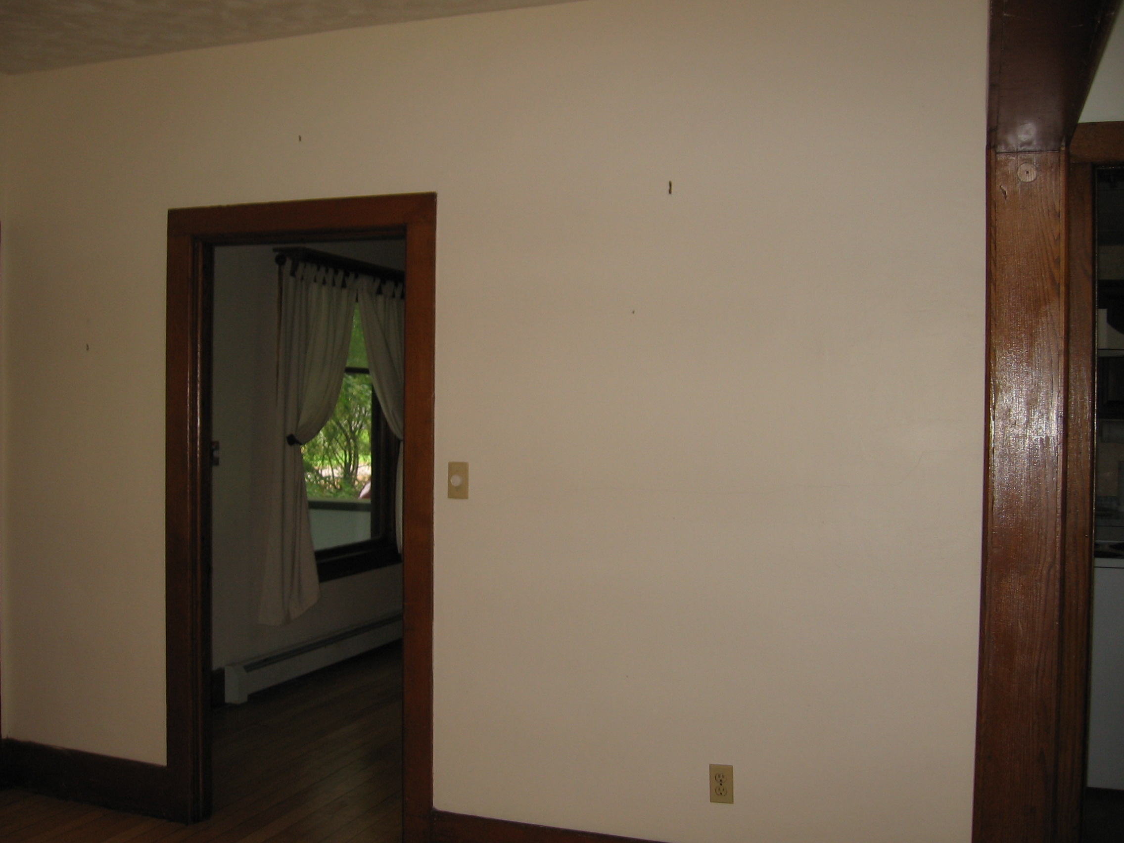
View from living room into dining room

Mansard Roof
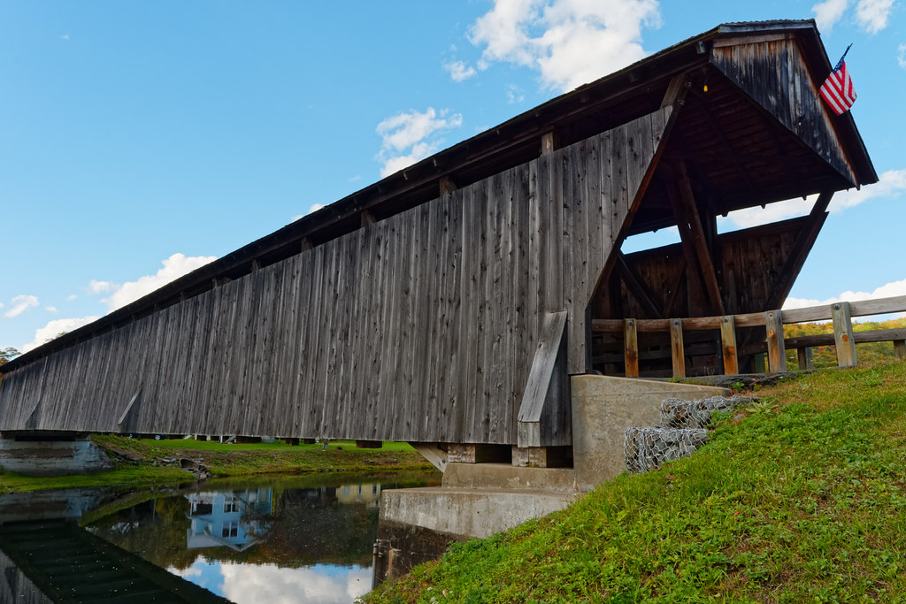
Downsville Covered Bridge

Vallee Vue Ranch

Hamden Covered Bridge

Downesville Covered Bridge
Topographic Map of Weed Brook Rd, Walton, NY, USA
Find elevation by address:

Places near Weed Brook Rd, Walton, NY, USA:
29665 Ny-10
Colchester
Walton
616 Mac Donald Rd
30 Bruce St
Walton
20 County Hwy 21, Walton, NY, USA
6 Wells St
828 Fuller Hollow Rd
17 Howell St
3777 Houck Mountain Rd
Downsville
13141 Ny-30
2385 Houck Mountain Rd
25321 Ny-10
River Rd, Downsville, NY, USA
11252 Ny-30
24640 Ny-10
2790 Left Pines Brook Rd
Walton, NY, USA
Recent Searches:
- Elevation of Clifton Down, Clifton, Bristol, City of Bristol, England, BS8 3HU, United Kingdom
- Elevation map of Auvergne-Rhône-Alpes, France
- Elevation map of Upper Savoy, Auvergne-Rhône-Alpes, France
- Elevation of Chamonix-Mont-Blanc, Upper Savoy, Auvergne-Rhône-Alpes, France
- Elevation of 908, Northwood Drive, Bridge Field, Chesapeake, Virginia, 23322, USA
- Elevation map of Nagano Prefecture, Japan
- Elevation of 587, Bascule Drive, Oakdale, Stanislaus County, California, 95361, USA
- Elevation of Stadion Wankdorf, Sempachstrasse, Breitfeld, Bern, Bern-Mittelland administrative district, Bern, 3014, Switzerland
- Elevation of Z024, 76, Emil-von-Behring-Straße, Marbach, Marburg, Landkreis Marburg-Biedenkopf, Hesse, 35041, Germany
- Elevation of Gaskill Road, Hunts Cross, Liverpool, England, L24 9PH, United Kingdom
- Elevation of Speke, Liverpool, England, L24 9HD, United Kingdom
- Elevation of Seqirus, 475, Green Oaks Parkway, Holly Springs, Wake County, North Carolina, 27540, USA
- Elevation of Pasing, Munich, Bavaria, 81241, Germany
- Elevation of 24, Auburn Bay Crescent SE, Auburn Bay, Calgary, Alberta, T3M 0A6, Canada
- Elevation of Denver, 2314, Arapahoe Street, Five Points, Denver, Colorado, 80205, USA
- Elevation of Community of the Beatitudes, 2924, West 43rd Avenue, Sunnyside, Denver, Colorado, 80211, USA
- Elevation map of Litang County, Sichuan, China
- Elevation map of Madoi County, Qinghai, China
- Elevation of 3314, Ohio State Route 114, Payne, Paulding County, Ohio, 45880, USA
- Elevation of Sarahills Drive, Saratoga, Santa Clara County, California, 95070, USA