Elevation of Walton, NY, USA
Location: United States > New York > Delaware County > Walton >
Longitude: -75.1293351
Latitude: 42.1695296
Elevation: 368m / 1207feet
Barometric Pressure: 0KPa
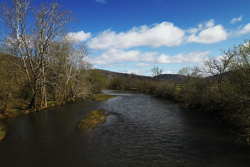
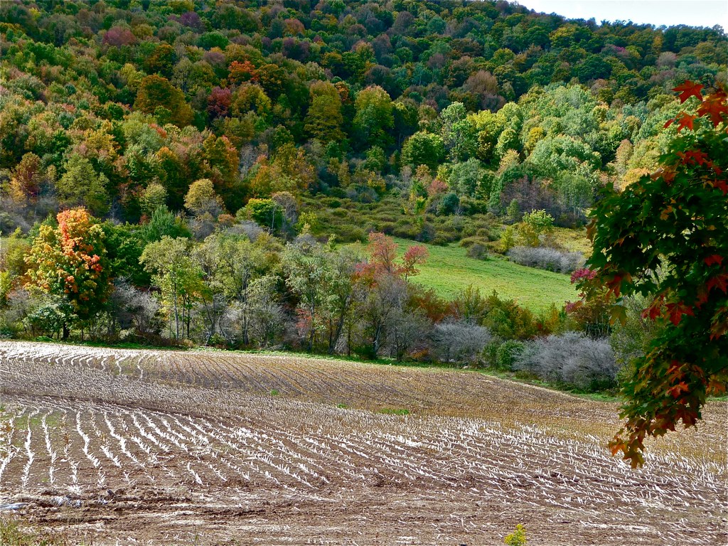
Related Photos:

Frog Prince - On the Queen's Throne

The view from my porch....
From inside

View from the porch of 9910 County Highway 21, Franklin, NY
The view from my bedroom window....
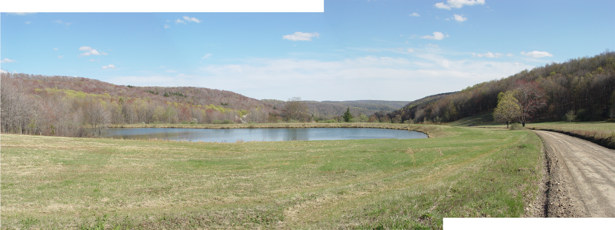
Pond.jpg
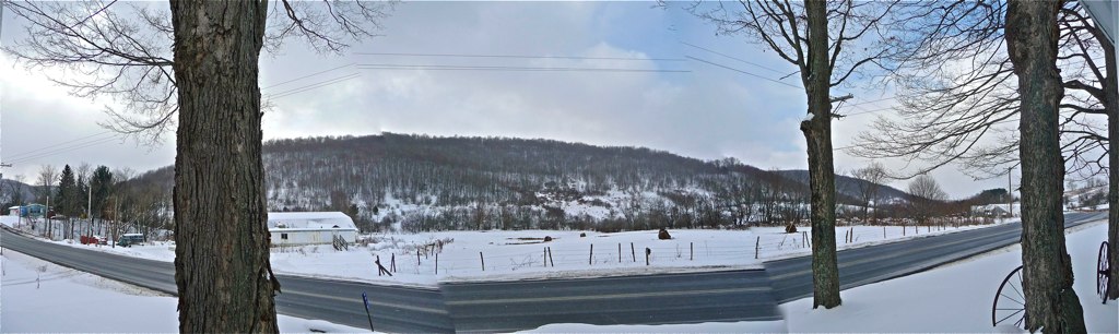
WINTER VIEW FROM THE PORCH
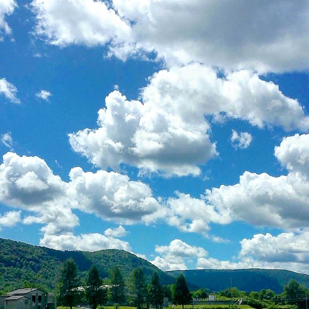
My #officeview today. Working at the Delaware County Fairgrounds. It's been a really long day but the #view is totally worth it. #cloudporn #clouds
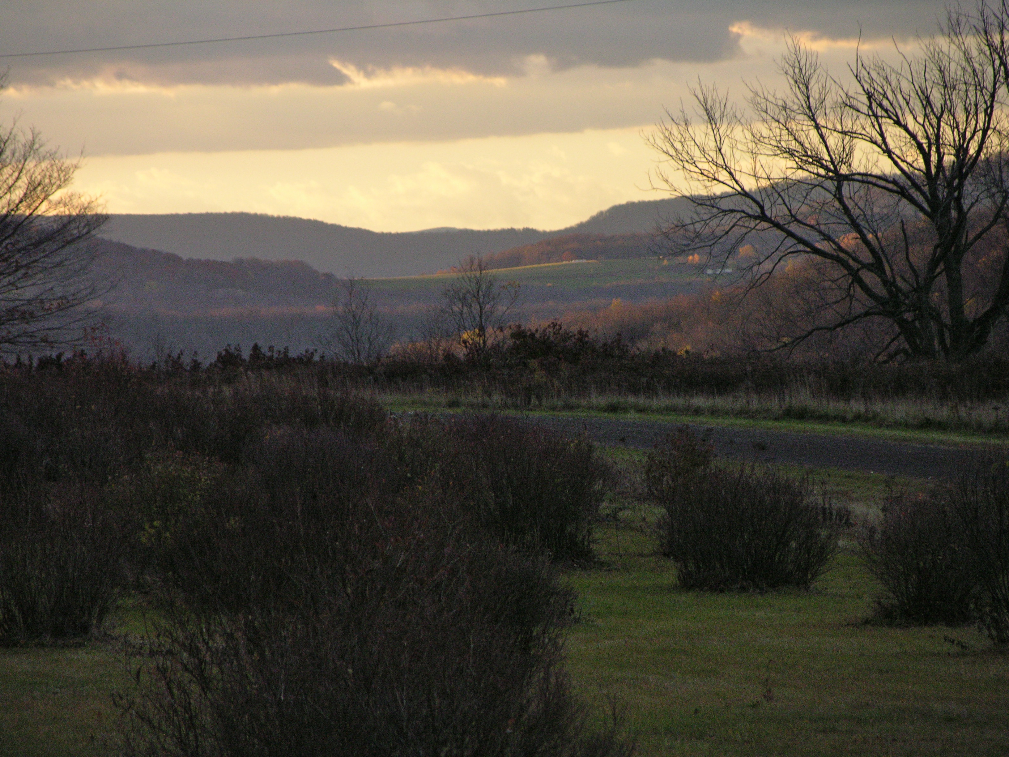
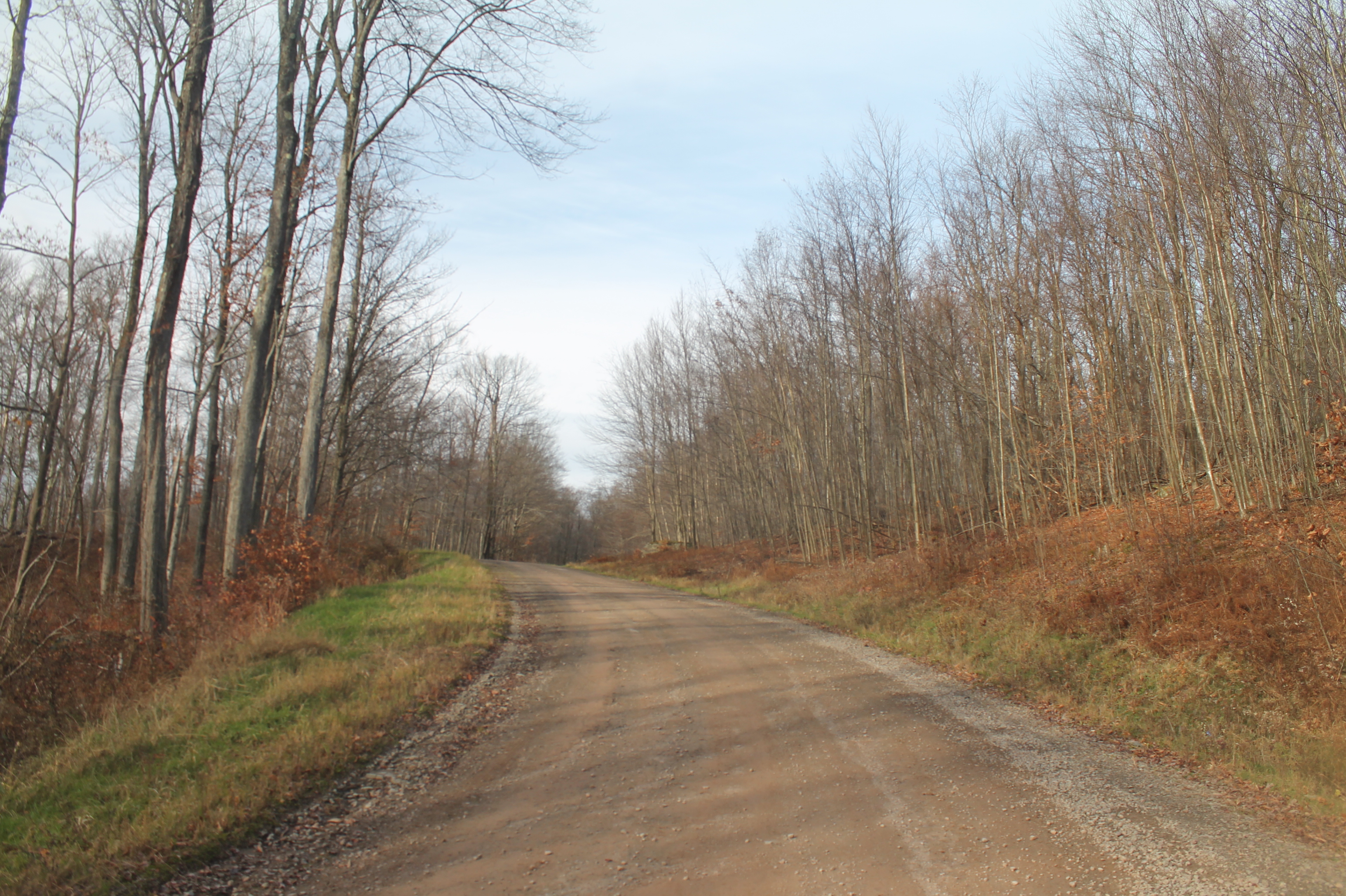
Vista on Dunk Hill Road

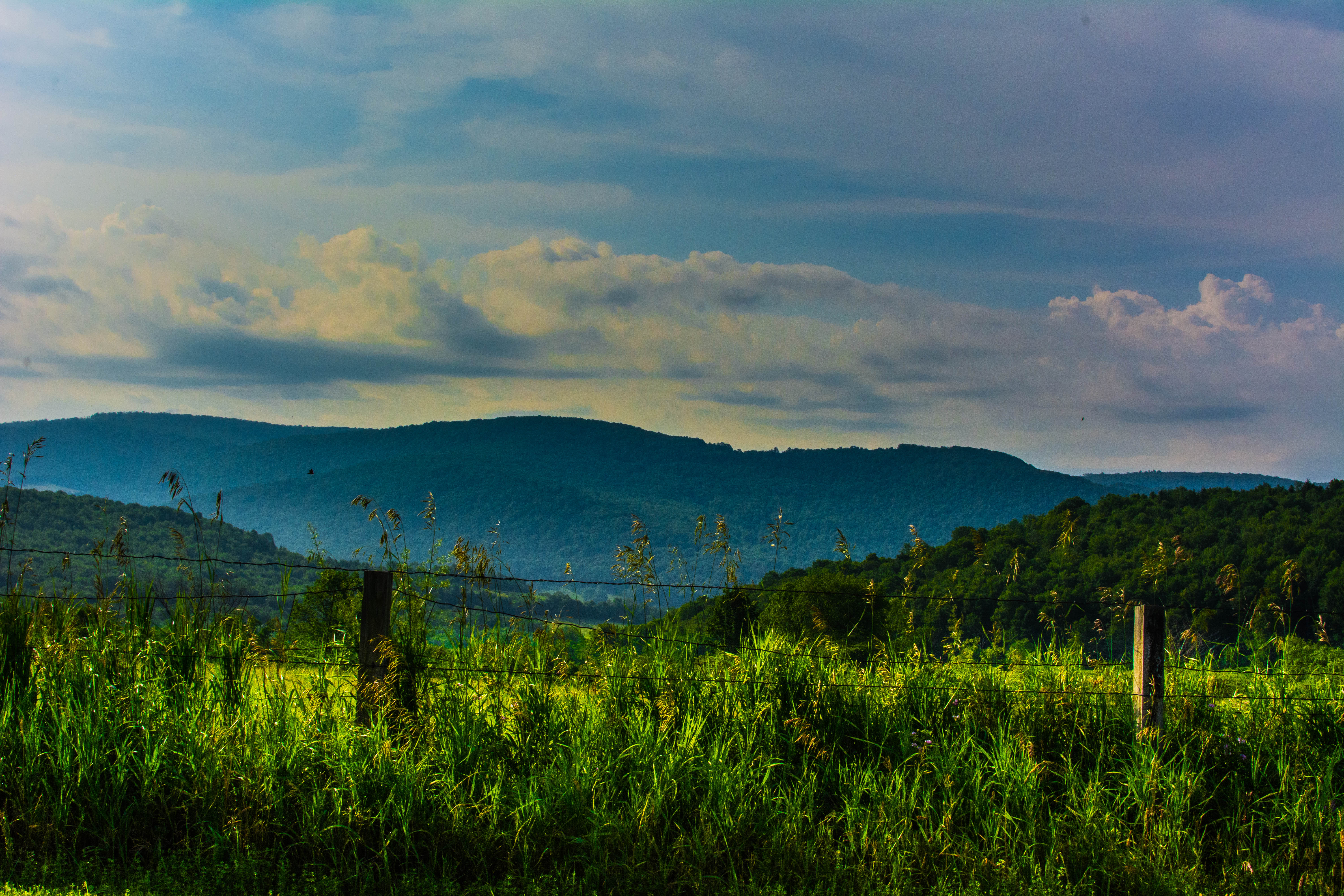
My Hamden meadow
DSC_6257.jpg
20100924 213
upstate 2010 columbus day 101
upstate 2010 columbus day 163
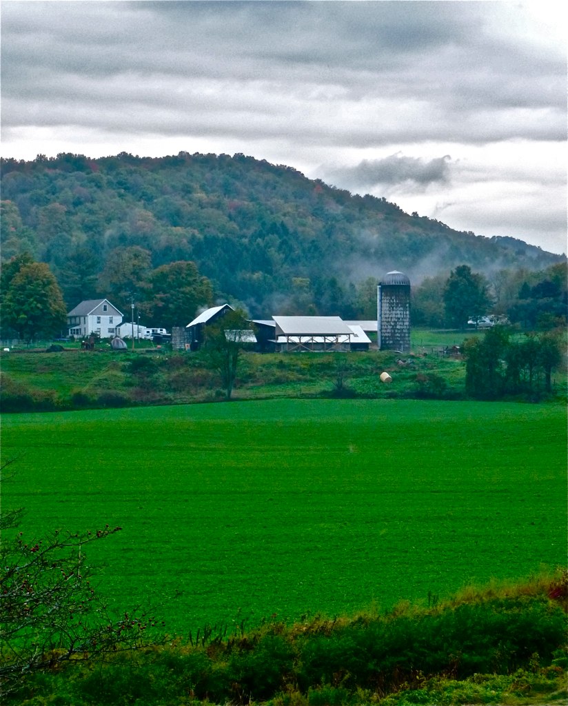
Walton Farm 5

Walton Farm 4
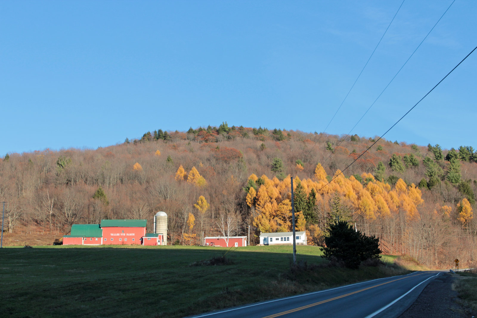
Valley Vue Ranch
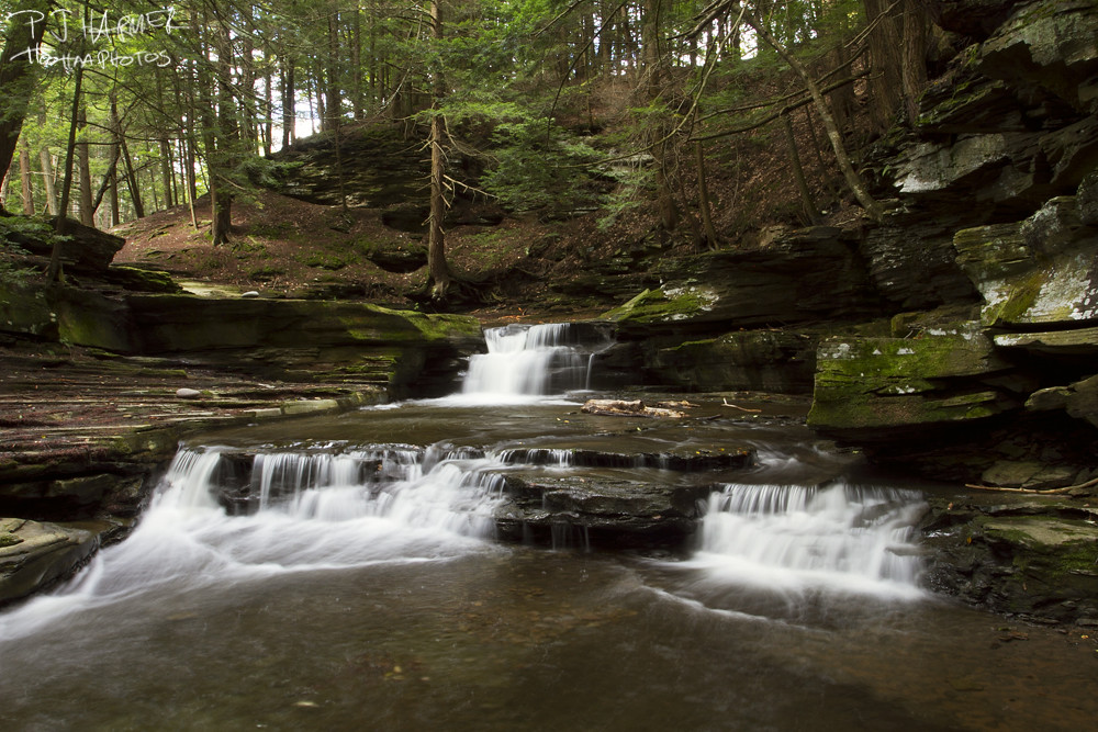
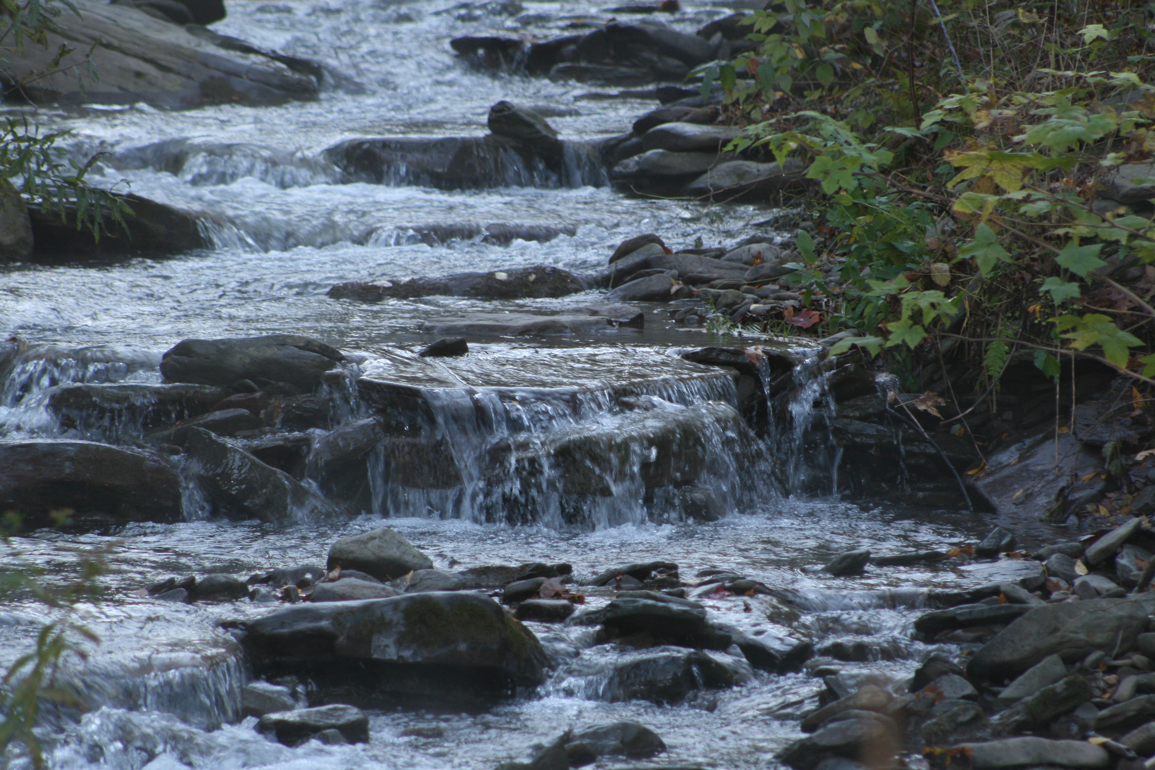
falls1 - top
upstate 2010 columbus day 099
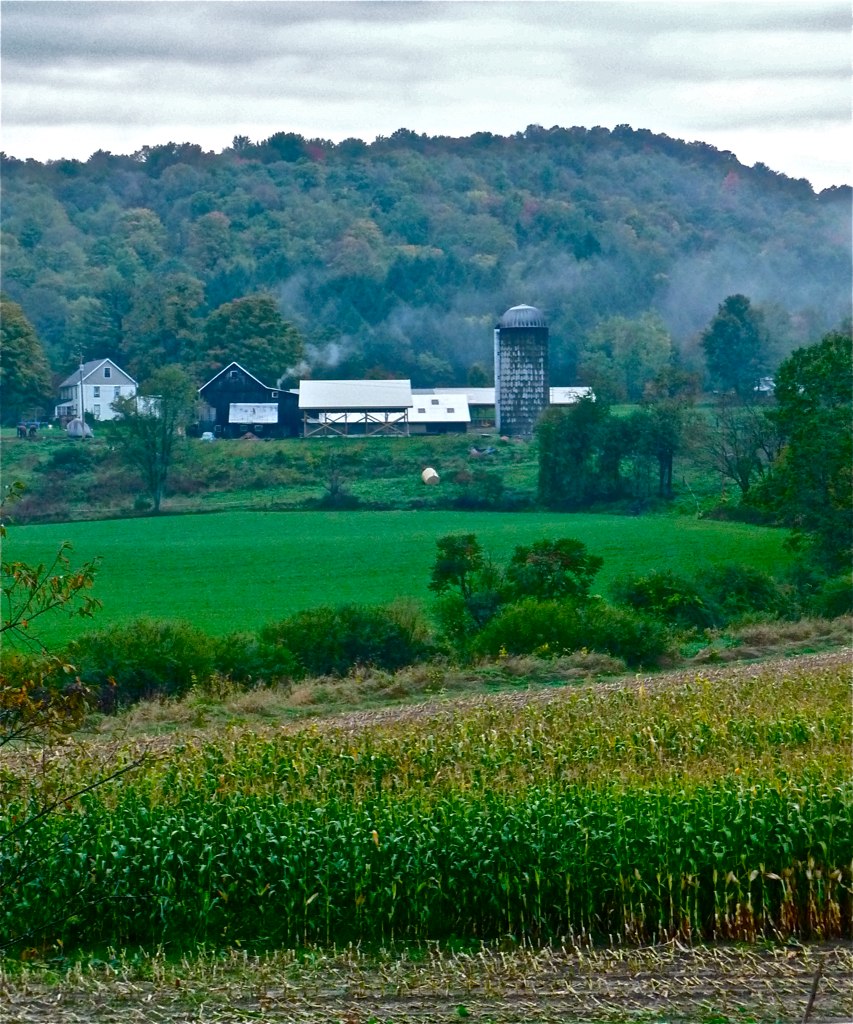
Walton Farm 2
Franklin Peace
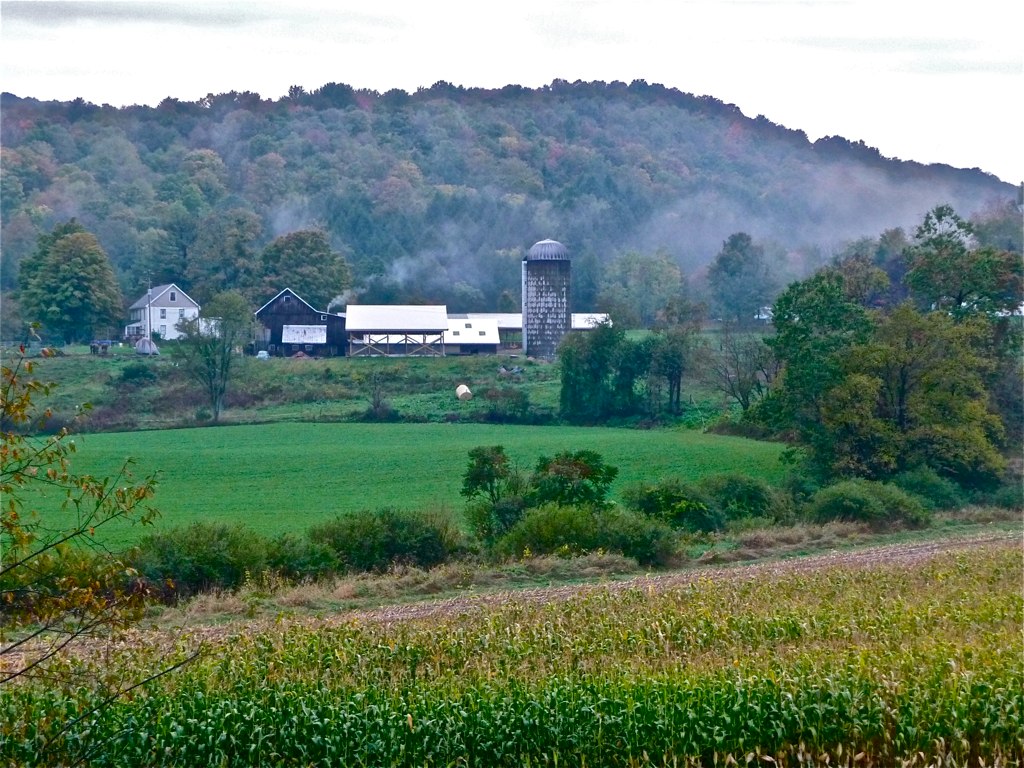
Walton Farm 1
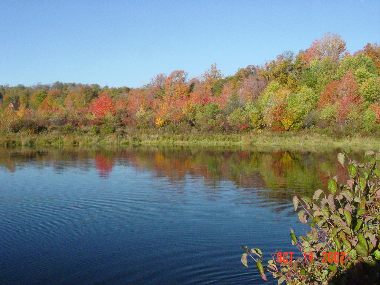
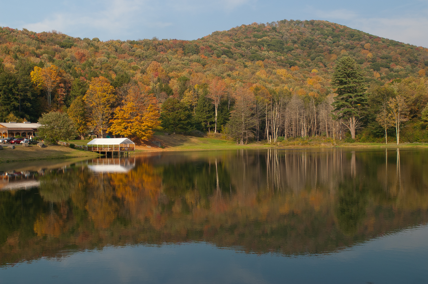
DSC00566 Crystal lake in Autumn
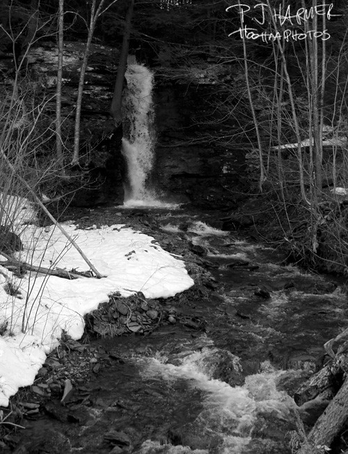
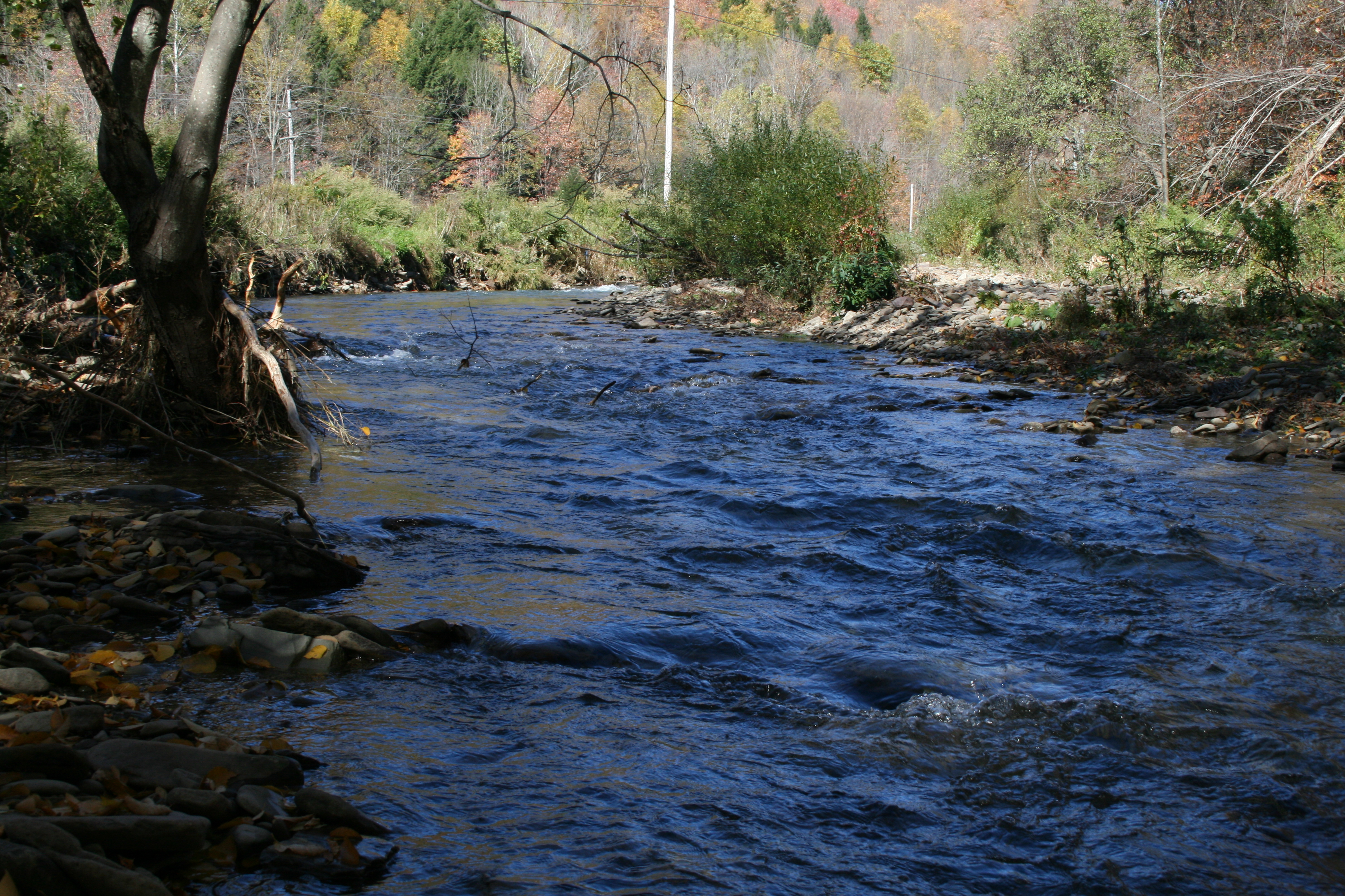
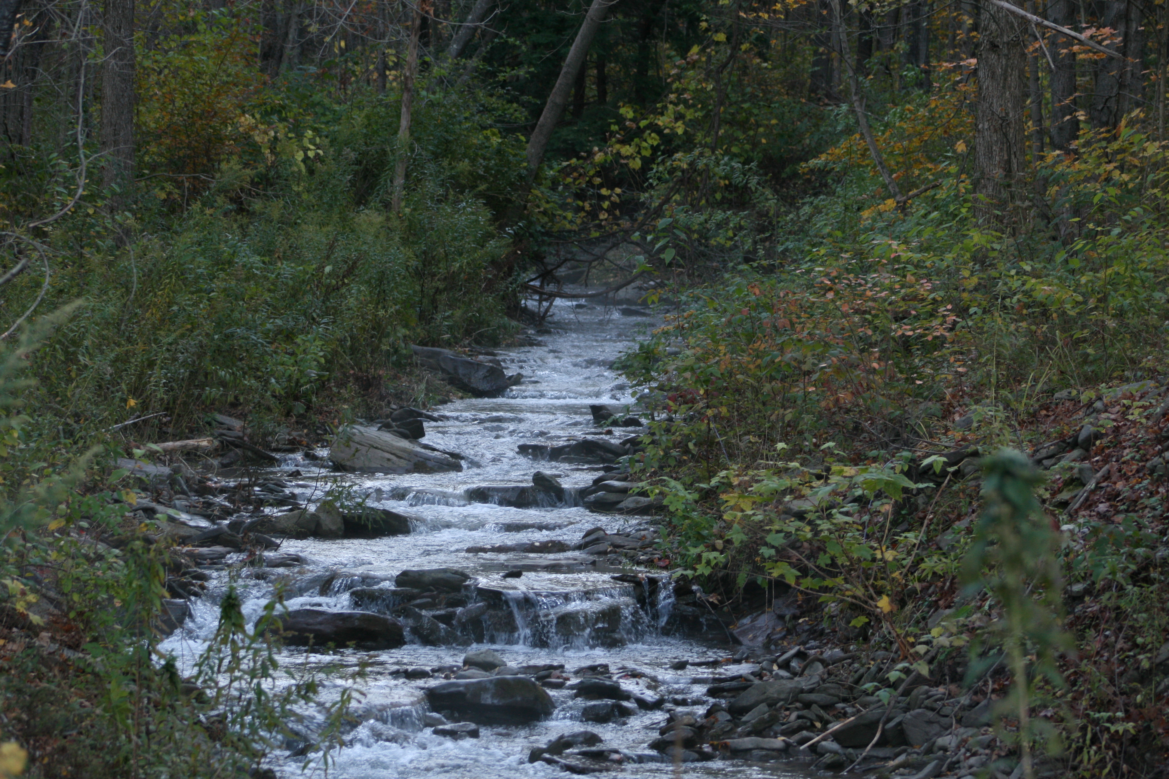
Secluded waterfall
Mountain Highlights

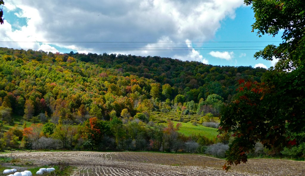
Into the Valley
Beers Brook Road
Boondock Sky
Topographic Map of Walton, NY, USA
Find elevation by address:

Places in Walton, NY, USA:
12117 Ny-206
600 Weed Brook Rd
11076 Ny-206
30 Bruce St
13482 Ny-206
140 Thoroughbred Rd
514 Windfall Rd
404 Bobs Brook Rd
Fish Brook Road
25321 Ny-10
1256 Russell Rd
6 Wells St
24640 Ny-10
2294 Walton Mountain Rd
4053 Dunk Hill Rd
4053 Dunk Hill Rd
17 Howell St
1202 Mac Gibbon Hollow Rd
2790 Left Pines Brook Rd
Places near Walton, NY, USA:
20 County Hwy 21, Walton, NY, USA
17 Howell St
6 Wells St
30 Bruce St
Walton
25321 Ny-10
2790 Left Pines Brook Rd
24640 Ny-10
Walton, NY, USA
Colchester
2294 Walton Mountain Rd
29665 Ny-10
404 Bobs Brook Rd
600 Weed Brook Rd
Fish Brook Road
3777 Houck Mountain Rd
514 Windfall Rd
2385 Houck Mountain Rd
616 Mac Donald Rd
River Rd, Downsville, NY, USA
Recent Searches:
- Elevation map of Greenland, Greenland
- Elevation of Sullivan Hill, New York, New York, 10002, USA
- Elevation of Morehead Road, Withrow Downs, Charlotte, Mecklenburg County, North Carolina, 28262, USA
- Elevation of 2800, Morehead Road, Withrow Downs, Charlotte, Mecklenburg County, North Carolina, 28262, USA
- Elevation of Yangbi Yi Autonomous County, Yunnan, China
- Elevation of Pingpo, Yangbi Yi Autonomous County, Yunnan, China
- Elevation of Mount Malong, Pingpo, Yangbi Yi Autonomous County, Yunnan, China
- Elevation map of Yongping County, Yunnan, China
- Elevation of North 8th Street, Palatka, Putnam County, Florida, 32177, USA
- Elevation of 107, Big Apple Road, East Palatka, Putnam County, Florida, 32131, USA
- Elevation of Jiezi, Chongzhou City, Sichuan, China
- Elevation of Chongzhou City, Sichuan, China
- Elevation of Huaiyuan, Chongzhou City, Sichuan, China
- Elevation of Qingxia, Chengdu, Sichuan, China
- Elevation of Corso Fratelli Cairoli, 35, Macerata MC, Italy
- Elevation of Tallevast Rd, Sarasota, FL, USA
- Elevation of 4th St E, Sonoma, CA, USA
- Elevation of Black Hollow Rd, Pennsdale, PA, USA
- Elevation of Oakland Ave, Williamsport, PA, USA
- Elevation of Pedrógão Grande, Portugal