Elevation of Water Swamp Rd, Sunbury, NC, USA
Location: United States > North Carolina > Gates County > Holly Grove > Sunbury >
Longitude: -76.659817
Latitude: 36.4092552
Elevation: 11m / 36feet
Barometric Pressure: 101KPa
Elevation Map:
Satellite Map:
Related Photos:
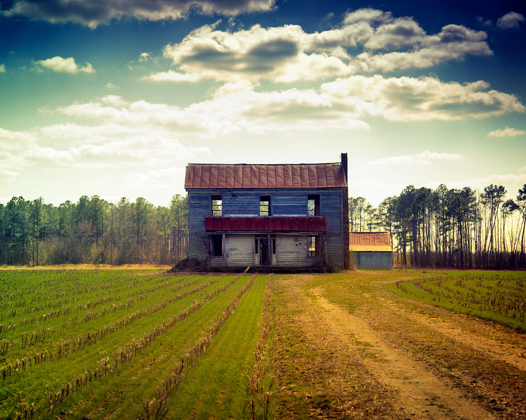
Cotton Fields Back Home
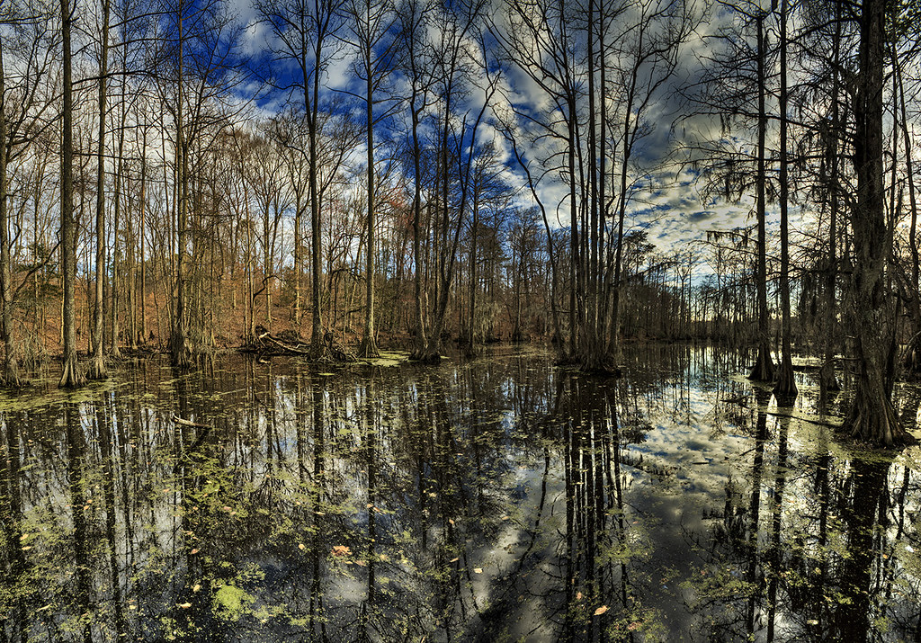
Paddling out
Waking up and getting up has never been easy

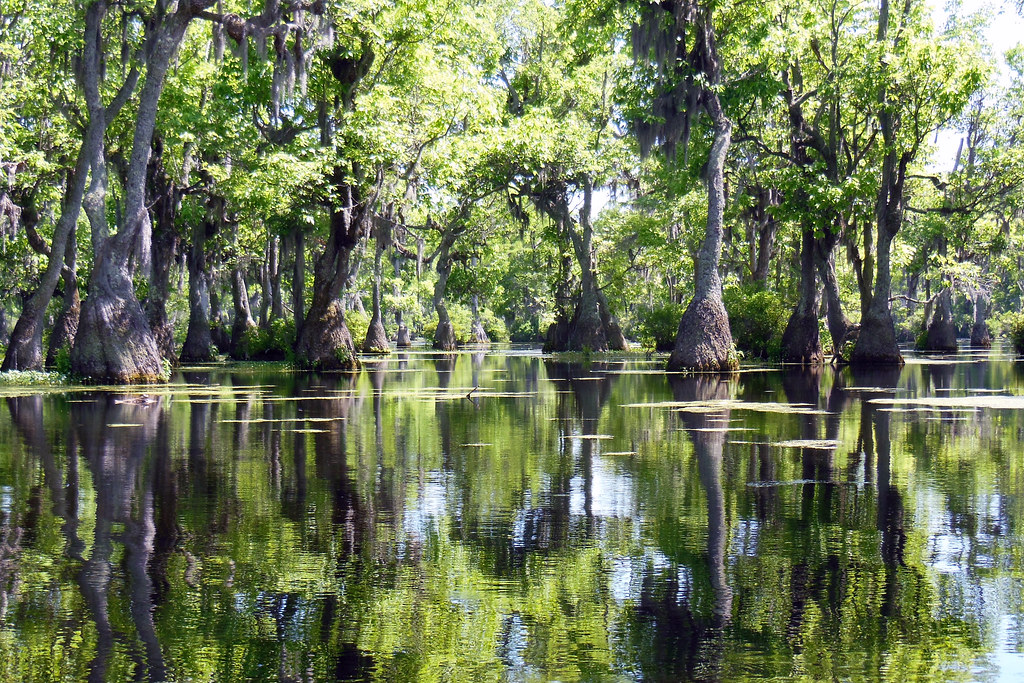
almost perfect

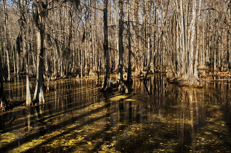
Sky and Earth
06-05-13 332
04-03-13 302
06-05-13 331
04-03-13 301
Friday campsite
Topographic Map of Water Swamp Rd, Sunbury, NC, USA
Find elevation by address:

Places near Water Swamp Rd, Sunbury, NC, USA:
Gates County
16 US-, Gatesville, NC, USA
Gatesville
400 Main St
402 Main St
Gatesville
200 Court St
Haslett
Hackley Rd, Gates, NC, USA
Hwy St, Madison, NC, USA
NC-37, Gates, NC, USA
Gates
1041 Nc-37
Drum Hill Rd, Gates, NC, USA
Drum Hill
458 Rooks Rd
668 Rooks Rd
152 Tuggie Eure Rd
Hall
Smith Road
Recent Searches:
- Elevation of Corso Fratelli Cairoli, 35, Macerata MC, Italy
- Elevation of Tallevast Rd, Sarasota, FL, USA
- Elevation of 4th St E, Sonoma, CA, USA
- Elevation of Black Hollow Rd, Pennsdale, PA, USA
- Elevation of Oakland Ave, Williamsport, PA, USA
- Elevation of Pedrógão Grande, Portugal
- Elevation of Klee Dr, Martinsburg, WV, USA
- Elevation of Via Roma, Pieranica CR, Italy
- Elevation of Tavkvetili Mountain, Georgia
- Elevation of Hartfords Bluff Cir, Mt Pleasant, SC, USA