Elevation of Holly Grove, NC, USA
Location: United States > North Carolina > Gates County >
Longitude: -76.571941
Latitude: 36.5133342
Elevation: 9m / 30feet
Barometric Pressure: 101KPa
Elevation Map:
Satellite Map:
Related Photos:

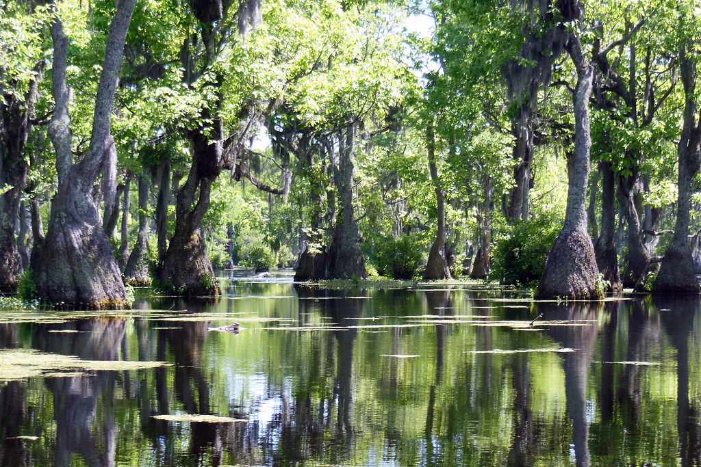
Aerial view
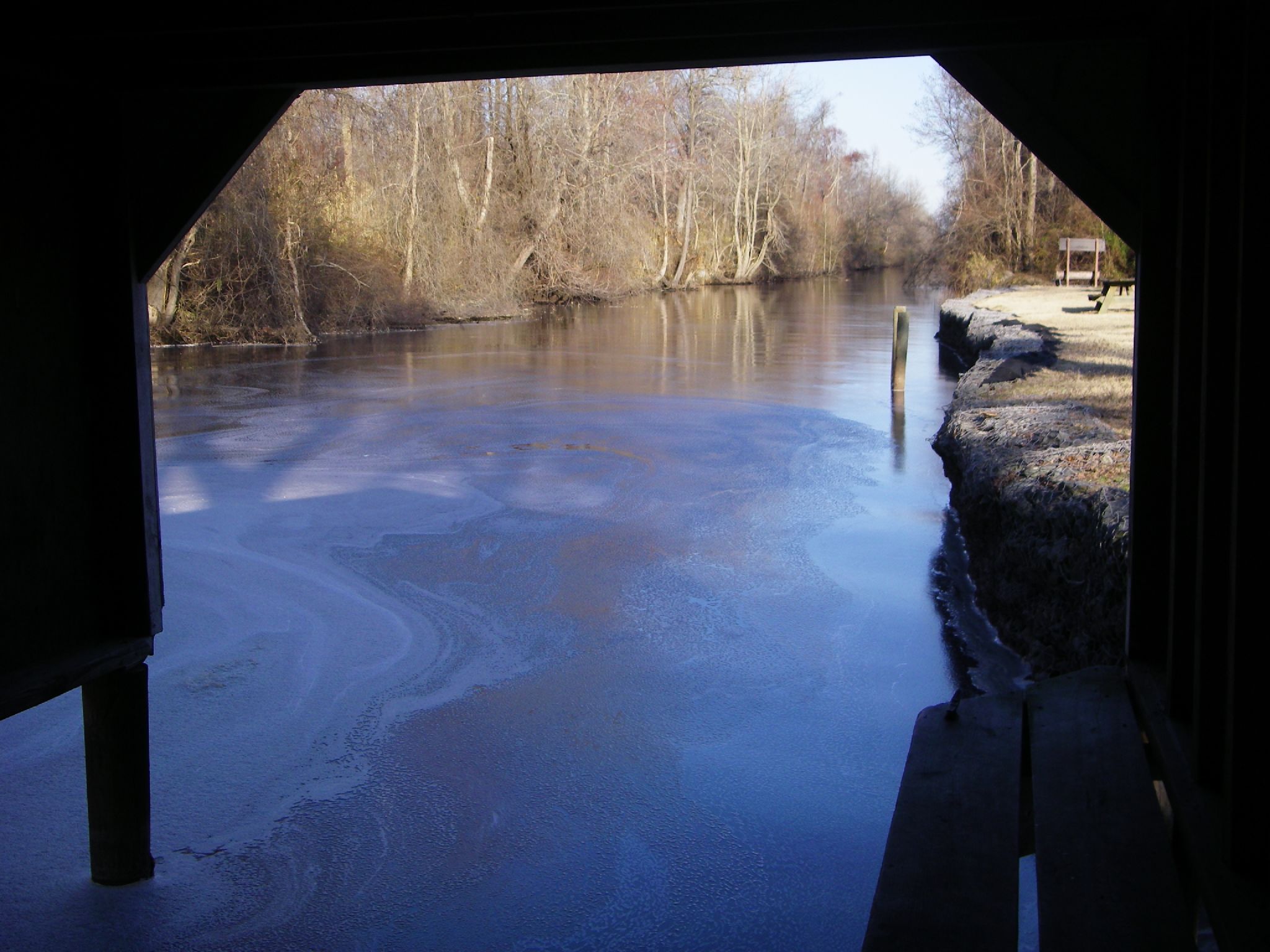
Boat view

Cotton Fields Back Home
Paddling out
dismal_swamp-58.jpg
dismal_swamp-57.jpg
03-11-13 140
dismal_swamp.jpg
dismal_swamp-59.jpg
06-05-13 332

dismal_swamp-41.jpg

dismal_swamp-40.jpg
06-05-13 331
03-11-13 142
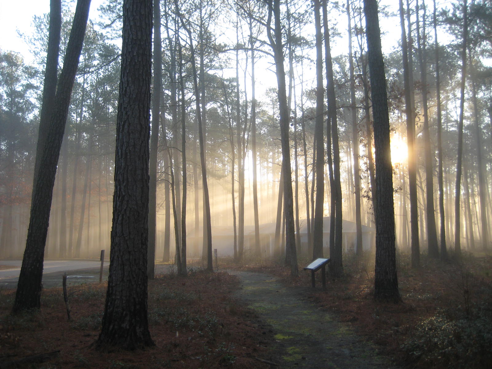
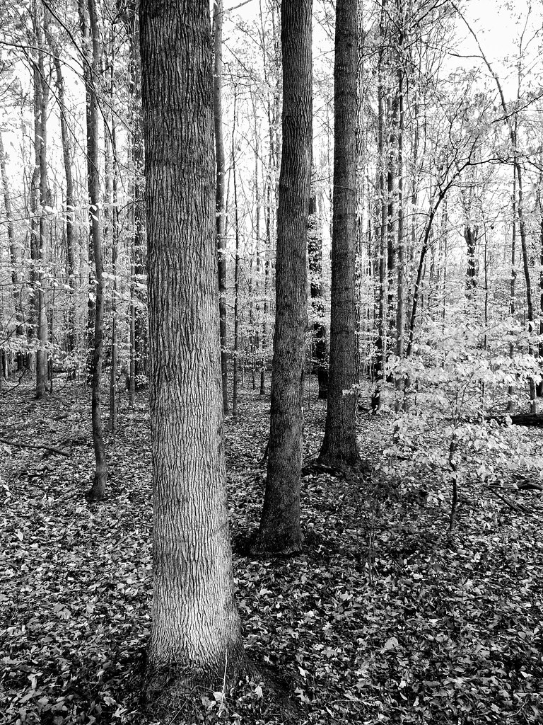
Sun through the trees
dismal_swamp-7.jpg
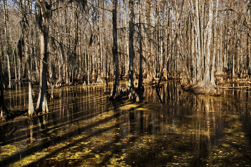
Waking up and getting up has never been easy
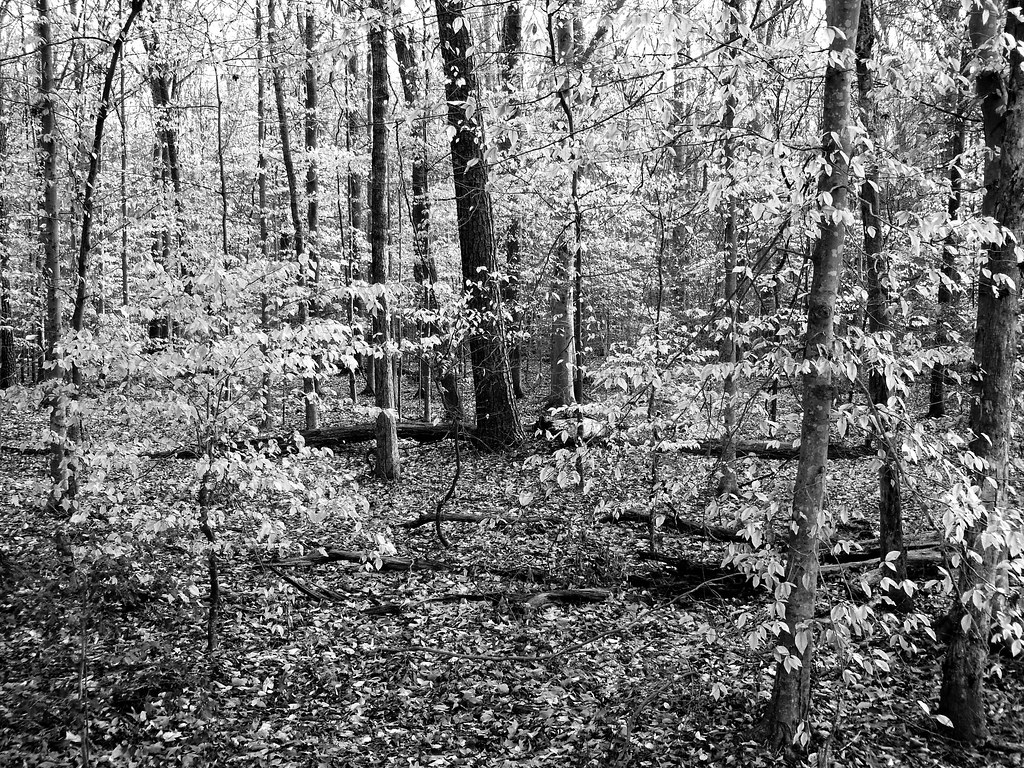
03-11-13 138
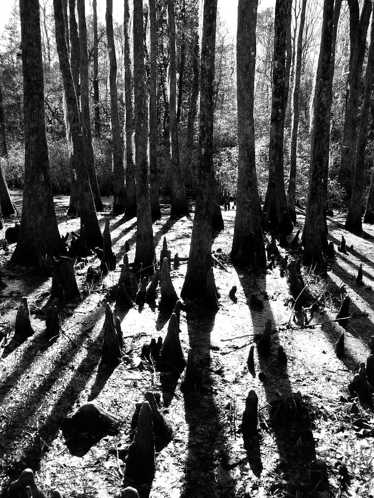
04-03-13 302

dismal_swamp-31.jpg

dismal_swamp-14.jpg
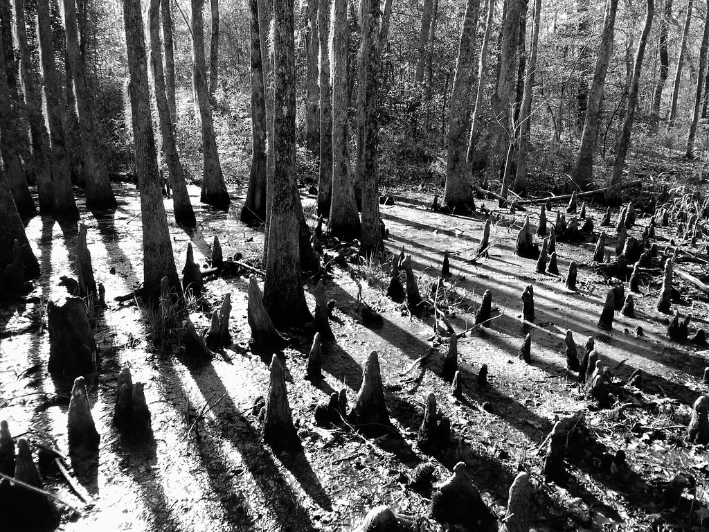
04-03-13 301
dismal_swamp-35.jpg
Topographic Map of Holly Grove, NC, USA
Find elevation by address:

Places in Holly Grove, NC, USA:
Places near Holly Grove, NC, USA:
46 Stocks Ln
Corapeake
40 Knight Ln
Savage Rd, Corapeake, NC, USA
16 Ruby Ln
Union Branch Road
Sunbury
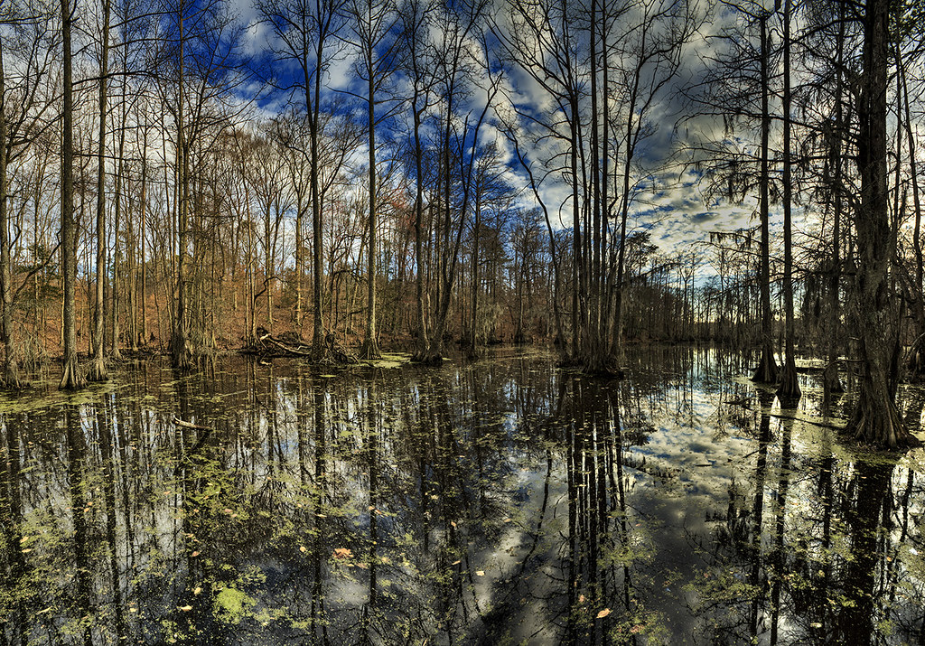
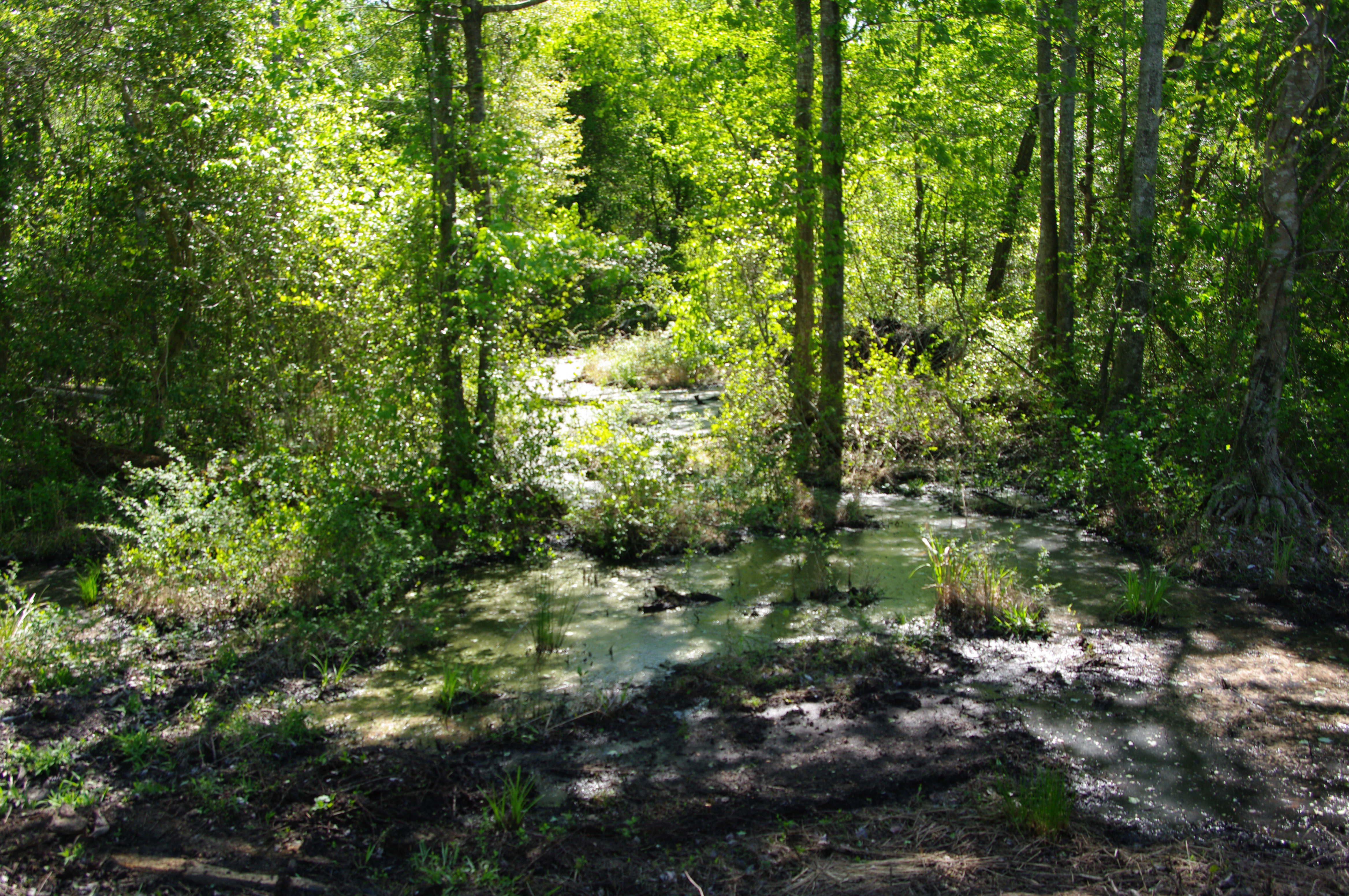
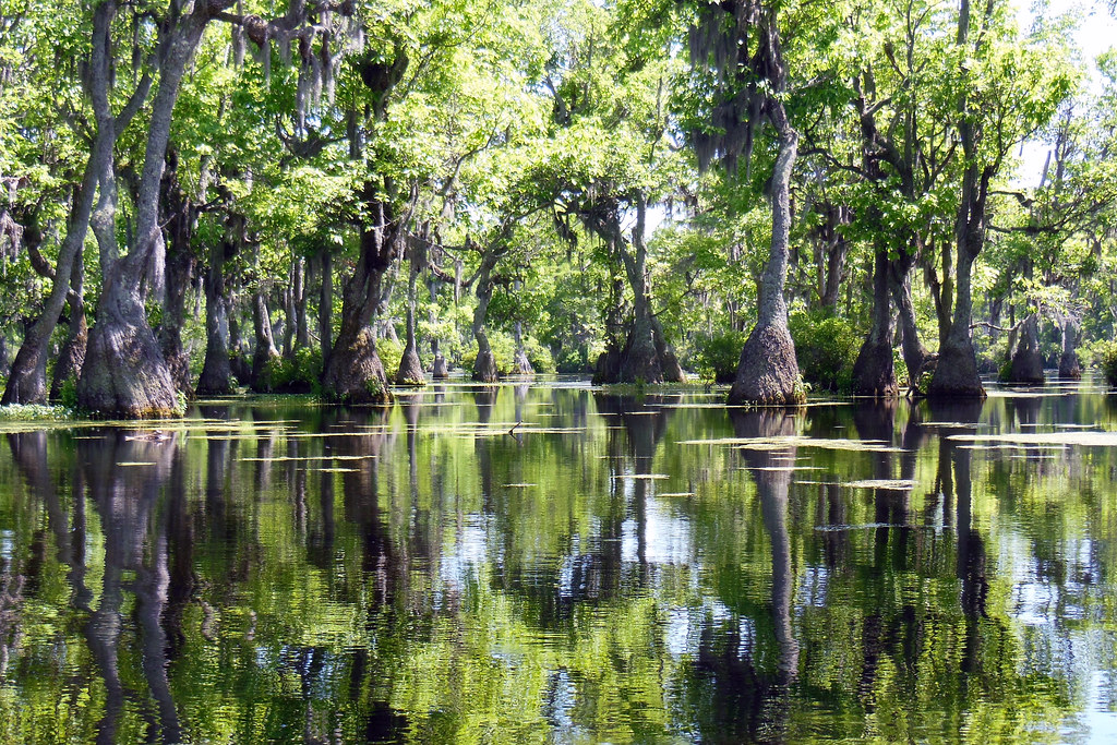
Great Dismal Swamp
Hunters Mill
Keys Cross Rd, Hobbsville, NC, USA
Firetower Road
100 Deer Trail
South Mills
126 Dock Landing Loop
107 Waterway Ct
1439 Brothers Ln
108 Walking Path Court
South Mills
321 Pudding Ridge Rd
1497 Northside Rd
Recent Searches:
- Elevation of Corso Fratelli Cairoli, 35, Macerata MC, Italy
- Elevation of Tallevast Rd, Sarasota, FL, USA
- Elevation of 4th St E, Sonoma, CA, USA
- Elevation of Black Hollow Rd, Pennsdale, PA, USA
- Elevation of Oakland Ave, Williamsport, PA, USA
- Elevation of Pedrógão Grande, Portugal
- Elevation of Klee Dr, Martinsburg, WV, USA
- Elevation of Via Roma, Pieranica CR, Italy
- Elevation of Tavkvetili Mountain, Georgia
- Elevation of Hartfords Bluff Cir, Mt Pleasant, SC, USA