Elevation of Water Gauge Rd, Franklin, NC, USA
Location: United States > North Carolina > Macon County > Franklin > Franklin >
Longitude: -83.634350
Latitude: 35.1225748
Elevation: 941m / 3087feet
Barometric Pressure: 91KPa
Elevation Map:
Satellite Map:
Related Photos:

Smoky Mountains on Fire (II)

Smoky Mountains on Fire (III)

Backlit - Lake Chatuge, North Carolina

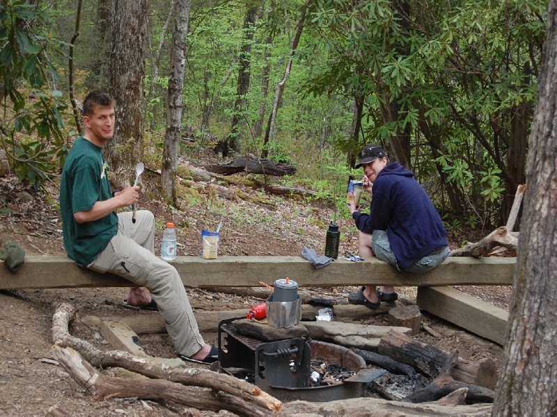
The new Wayah shelter

Clearing - Lake Chatuge, North Carolina

Tantalus Creek

Autumn, Nantahala River (5)

Nantahala Ranger House #3

Summer Mountain View

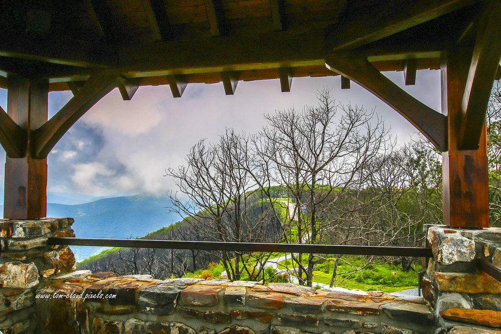
Observation Tower View

Tower Mountain View

Wayah Bald Mountain View
Wayah Bald View

Cloudy Mountain View

Wayah Bald Fire Tower - Franklin, North Carolina (HDR)

Standing Indian Mountain

Hightower Bald, summit, Southern Nantahala Wilderness, Chattahoochee National Forest, Towns County, Georgia 1

Silers Bald

Silers Bald
I must have said something funny

Hightower Bald, summit, Southern Nantahala Wilderness, Chattahoochee National Forest, Towns County, Georgia, Paul Aughey (L) and Wesley Gibbs (R) 1

Blue Ridge Mountains in Autumn. Hayesville, NC

Beautiful morning at the lake. Elf, North Carolina

Winding Stair Sunrise

Lake Nantahala sunset

Grass along the shoreline

Lake Nantahala

6 million dollar cabin

White Water

Mountain waves

Home on the Lake #2

A River's Twilight
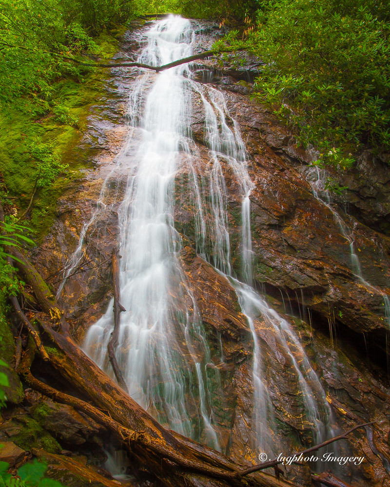
Rufus Morgan Falls

Fall Lake Peninsula
Topographic Map of Water Gauge Rd, Franklin, NC, USA
Find elevation by address:

Places near Water Gauge Rd, Franklin, NC, USA:
803 Water Gauge Rd
3194 Water Gauge Rd
244 Tate Cove Rd
90 Tate Cove Rd
26 Water Guage Rd
169 Wilderness Dr
288 Wilderness Dr
Thunderstruck Lane
5206 Rainbow Springs Rd
300 Angel Knob Ln
347 Old Buck Ln
656 Rainbow Falls Rd
733 S Brooks Cove Rd
925 S Brooks Cove Rd
55 Conner Ln
315 Hickory Ridge Trail
319 Hickory Ridge Trail
276 Cove View Rdg
154 Mill Creek Overlook
6246 Old Hwy 64 E
Recent Searches:
- Elevation of Corso Fratelli Cairoli, 35, Macerata MC, Italy
- Elevation of Tallevast Rd, Sarasota, FL, USA
- Elevation of 4th St E, Sonoma, CA, USA
- Elevation of Black Hollow Rd, Pennsdale, PA, USA
- Elevation of Oakland Ave, Williamsport, PA, USA
- Elevation of Pedrógão Grande, Portugal
- Elevation of Klee Dr, Martinsburg, WV, USA
- Elevation of Via Roma, Pieranica CR, Italy
- Elevation of Tavkvetili Mountain, Georgia
- Elevation of Hartfords Bluff Cir, Mt Pleasant, SC, USA