Elevation of Rainbow Falls Rd, Franklin, NC, USA
Location: United States > North Carolina > Macon County > Cartoogechaye >
Longitude: -83.573808
Latitude: 35.088894
Elevation: 1176m / 3858feet
Barometric Pressure: 88KPa
Elevation Map:
Satellite Map:
Related Photos:
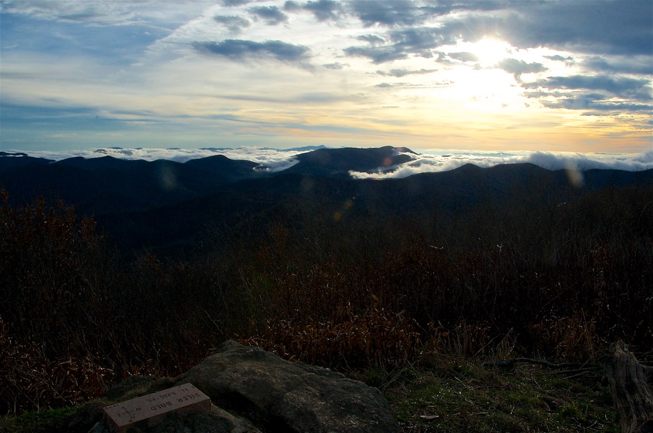
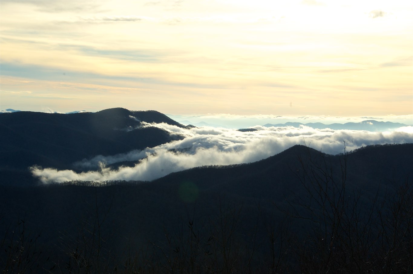
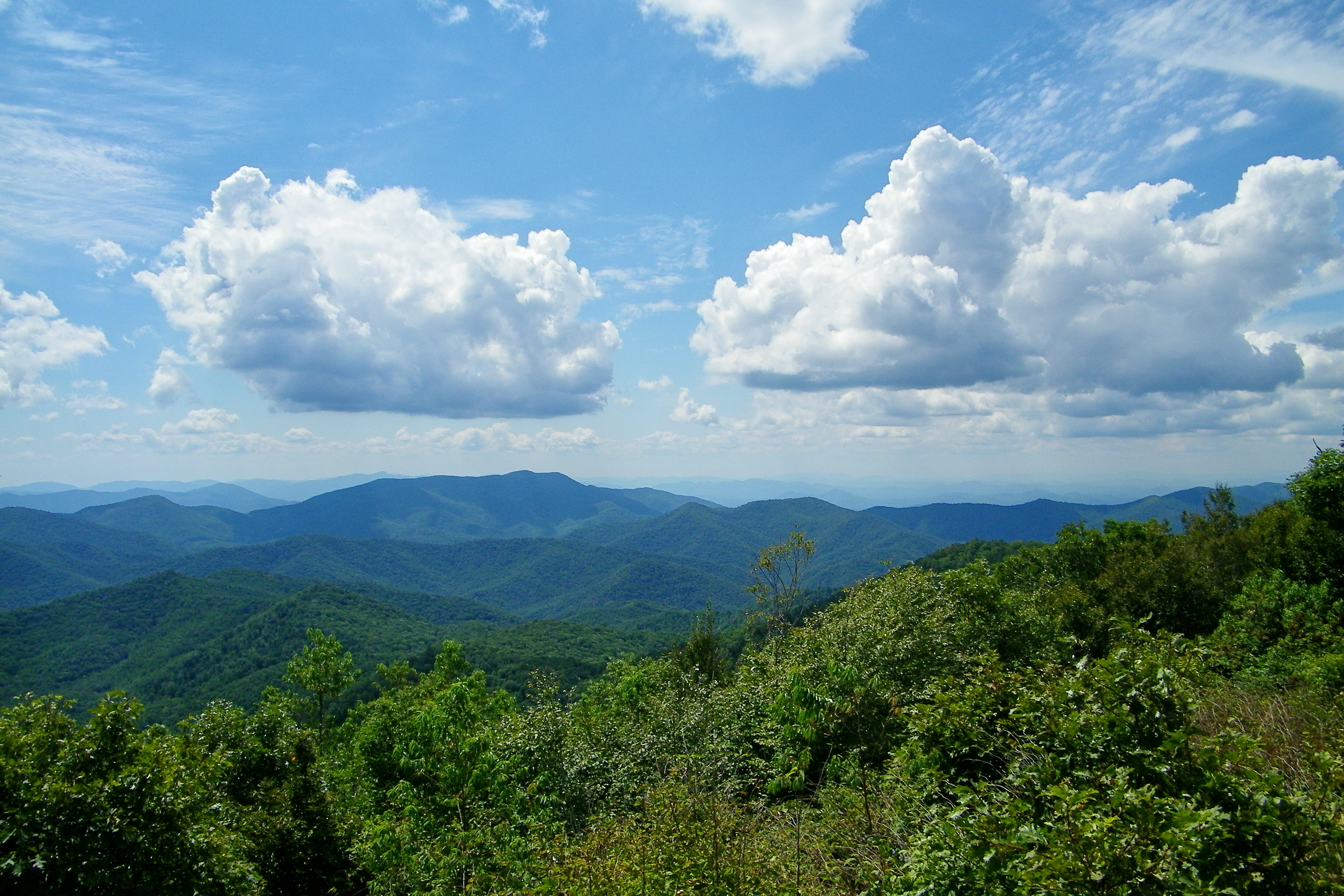
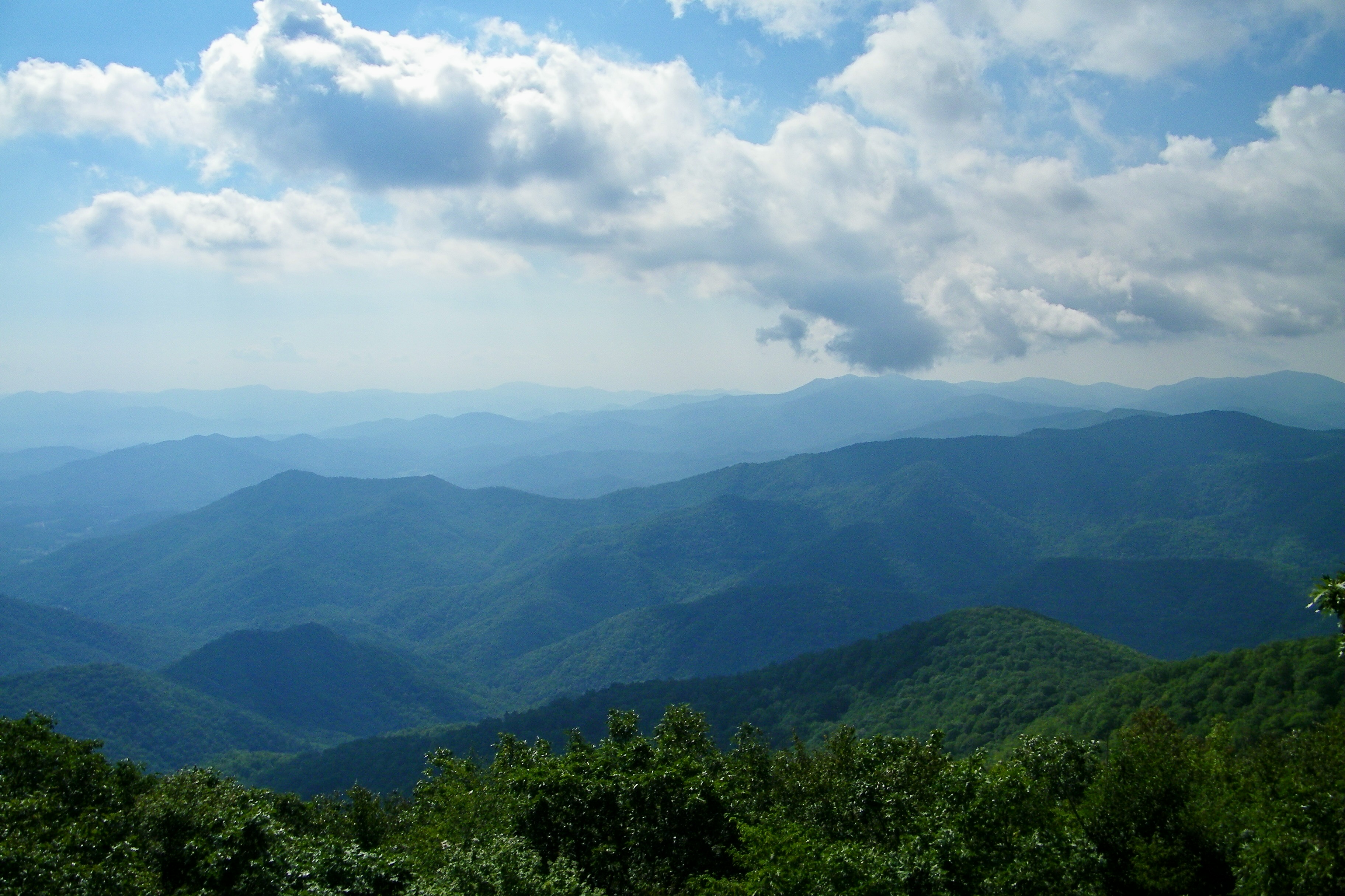
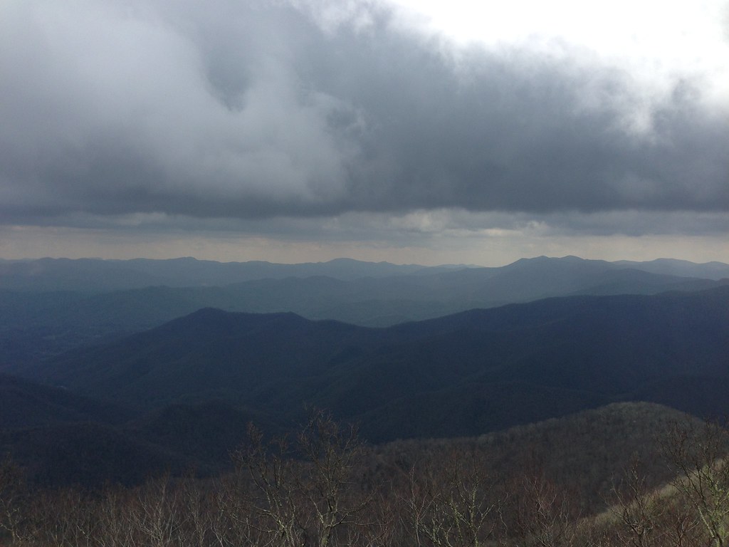
View from Silar Bald
82-140_View_from_Wayah_Bald_Nantahala_National_Forest_NC

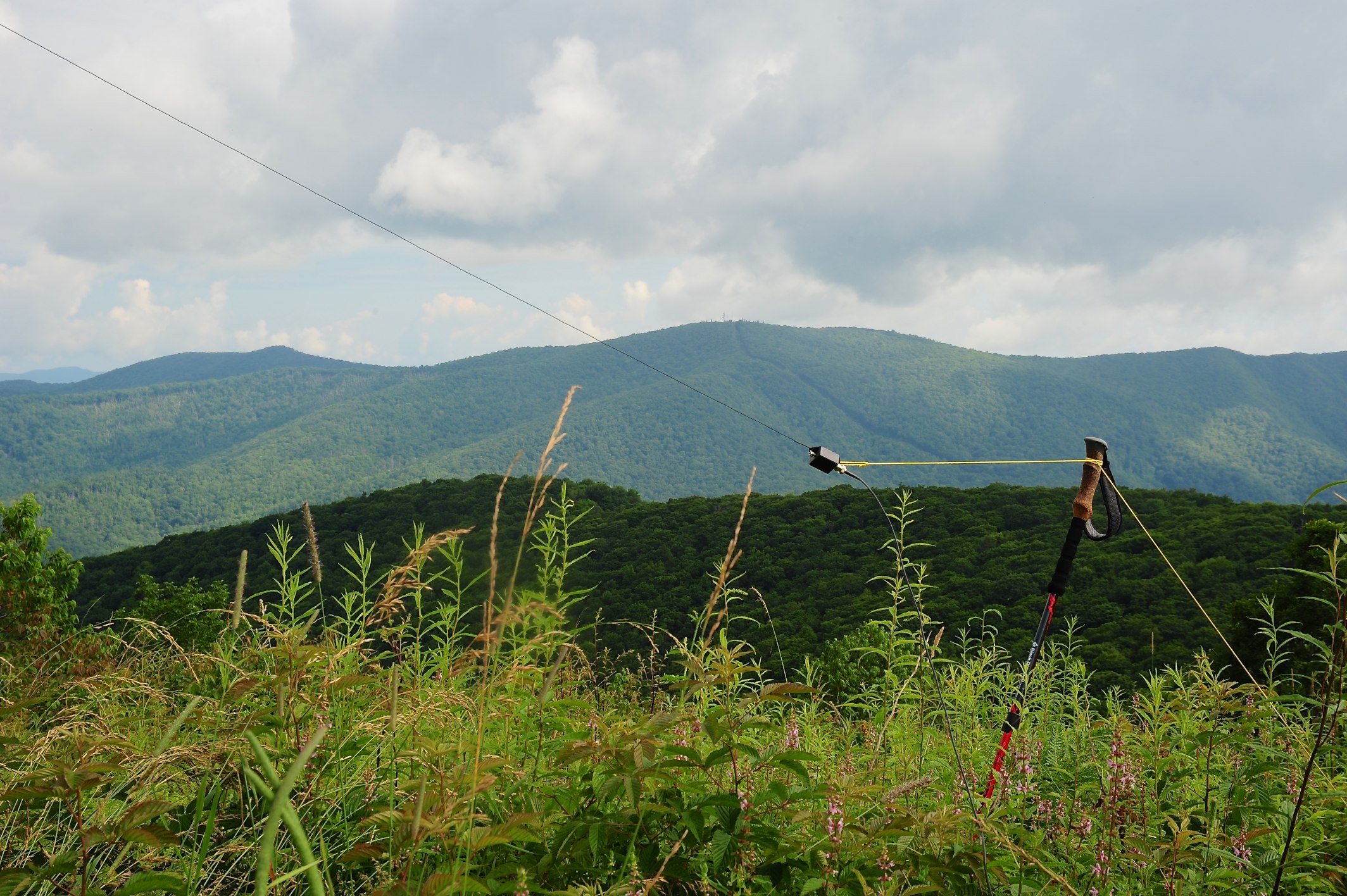
W4C/WM-024 - Siler Bald View

Wayah Bald Fire Tower - Franklin, North Carolina (HDR)
View from Wayah Bald Tower
W4C/WM-024 - Siler Bald View
W4C/WM-024 - Siler Bald View
img013_edited-1
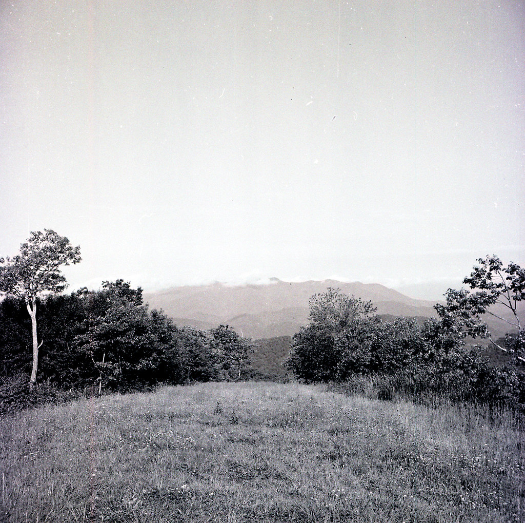
Silers Bald
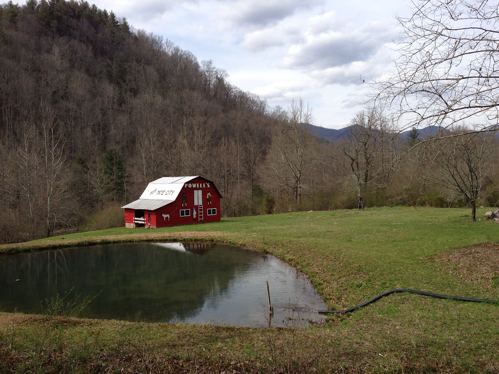
See Tate City
W4C/WM-024 - Siler Bald View
QTH View on W4C/WM-024 - Siler Bald
Silers Bald
Wayah Bald

Hightower Bald, summit, Southern Nantahala Wilderness, Chattahoochee National Forest, Towns County, Georgia 1
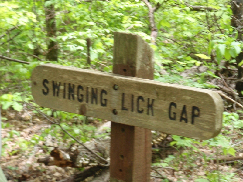
Swinging Lick gap
Silers Bald

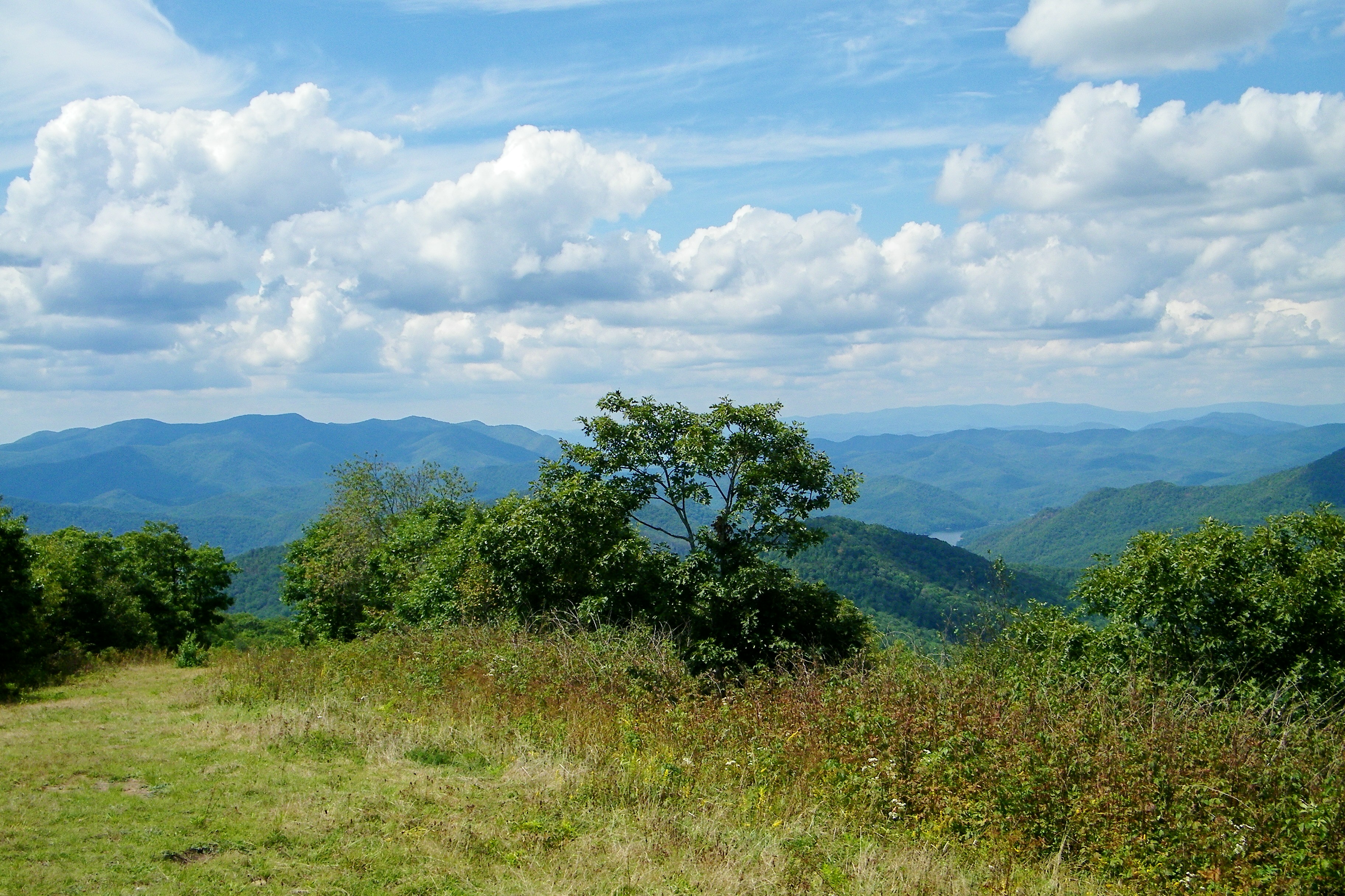
View from Siler Bald Campsite
Wayah Bald Lookout Tower
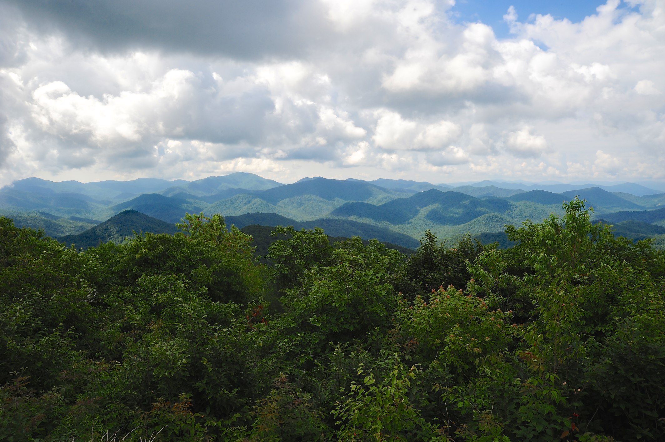
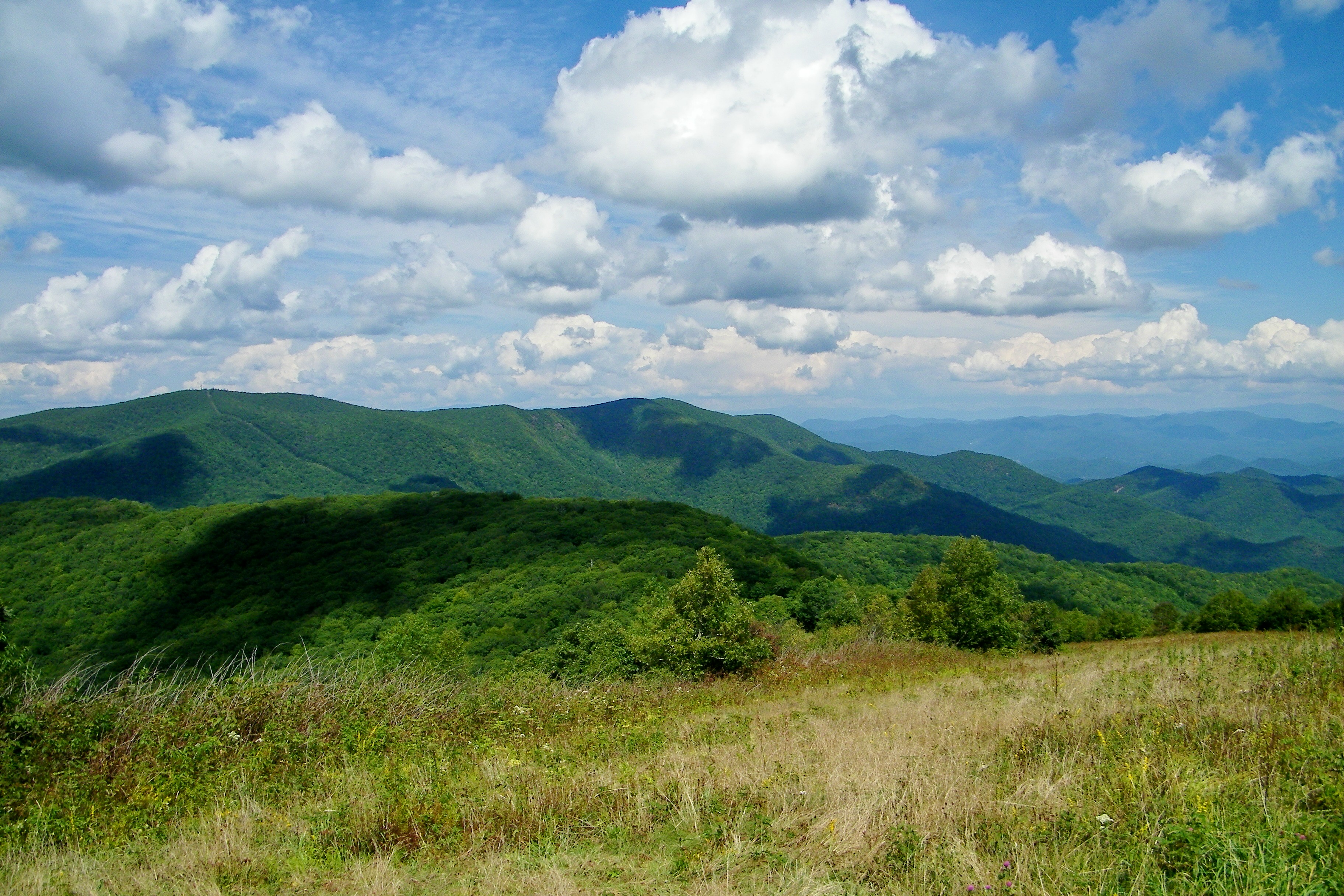
View from W4C/WM-024 - Siler Bald
View from Wayah Bald

Rufus Morgan Falls

Smoky Mountains on Fire (II)

Smoky Mountains on Fire (III)
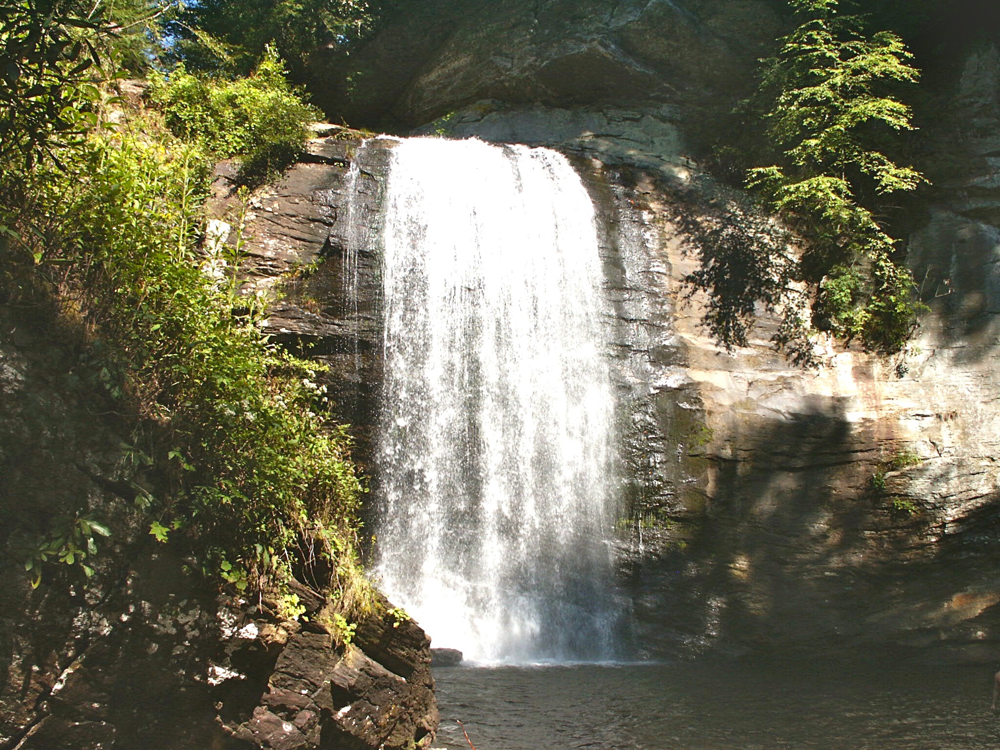
Looking Glass Falls, Pisgah National Forest, NC
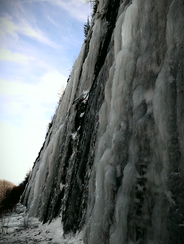
Interstate ice wall

Rufus Morgan Trailhead-8426
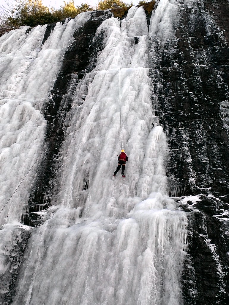
Interstate ice climbers
Standing Indian22

Old Murphy Road: Macon County, North Carolina
Standing Indian24
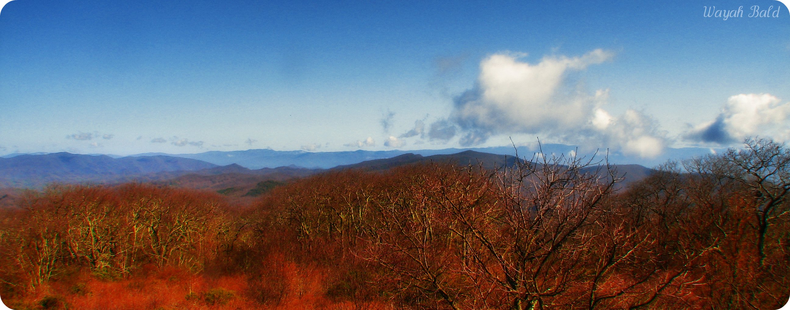
[PANORAMA] Looking east from the tower at Wayah on a hazy day.
Wayah Bald8

Blue ridge mountains~wayah bald

Shooting Creek Sunrise_IMG_20150509_2727

Shooting Creek_IMG_20150509_2722

Sunrise Shooting Creek_IMG_20150509_2723
Impressions of fall

Low cloudbank descending over the Pinnacle from Albert Mountain summit, Nantahala National Forest
Standing Indian20

Standing Indian19
Topographic Map of Rainbow Falls Rd, Franklin, NC, USA
Find elevation by address:

Places near Rainbow Falls Rd, Franklin, NC, USA:
315 Hickory Ridge Trail
319 Hickory Ridge Trail
347 Old Buck Ln
300 Angel Knob Ln
184 Gooseberry Ln
Standing Indian Campground
Nantahala River
Cartoogechaye
245 Carter Ln
Thunderstruck Lane
733 S Brooks Cove Rd
925 S Brooks Cove Rd
193 Carter Ln
5206 Rainbow Springs Rd
81 Elizabeth Trail
276 Cove View Rdg
West Old Murphy Road
3915 Allison Watts Rd
26 Water Guage Rd
244 Tate Cove Rd
Recent Searches:
- Elevation of Corso Fratelli Cairoli, 35, Macerata MC, Italy
- Elevation of Tallevast Rd, Sarasota, FL, USA
- Elevation of 4th St E, Sonoma, CA, USA
- Elevation of Black Hollow Rd, Pennsdale, PA, USA
- Elevation of Oakland Ave, Williamsport, PA, USA
- Elevation of Pedrógão Grande, Portugal
- Elevation of Klee Dr, Martinsburg, WV, USA
- Elevation of Via Roma, Pieranica CR, Italy
- Elevation of Tavkvetili Mountain, Georgia
- Elevation of Hartfords Bluff Cir, Mt Pleasant, SC, USA