Elevation of Water Gauge Rd, Franklin, NC, USA
Location: United States > North Carolina > Macon County > Franklin > Franklin >
Longitude: -83.637100
Latitude: 35.1325255
Elevation: 930m / 3051feet
Barometric Pressure: 91KPa
Elevation Map:
Satellite Map:
Related Photos:
Bridge View of the Nantahala.

Smoky Mountains on Fire (II)
Where the Paths Parted
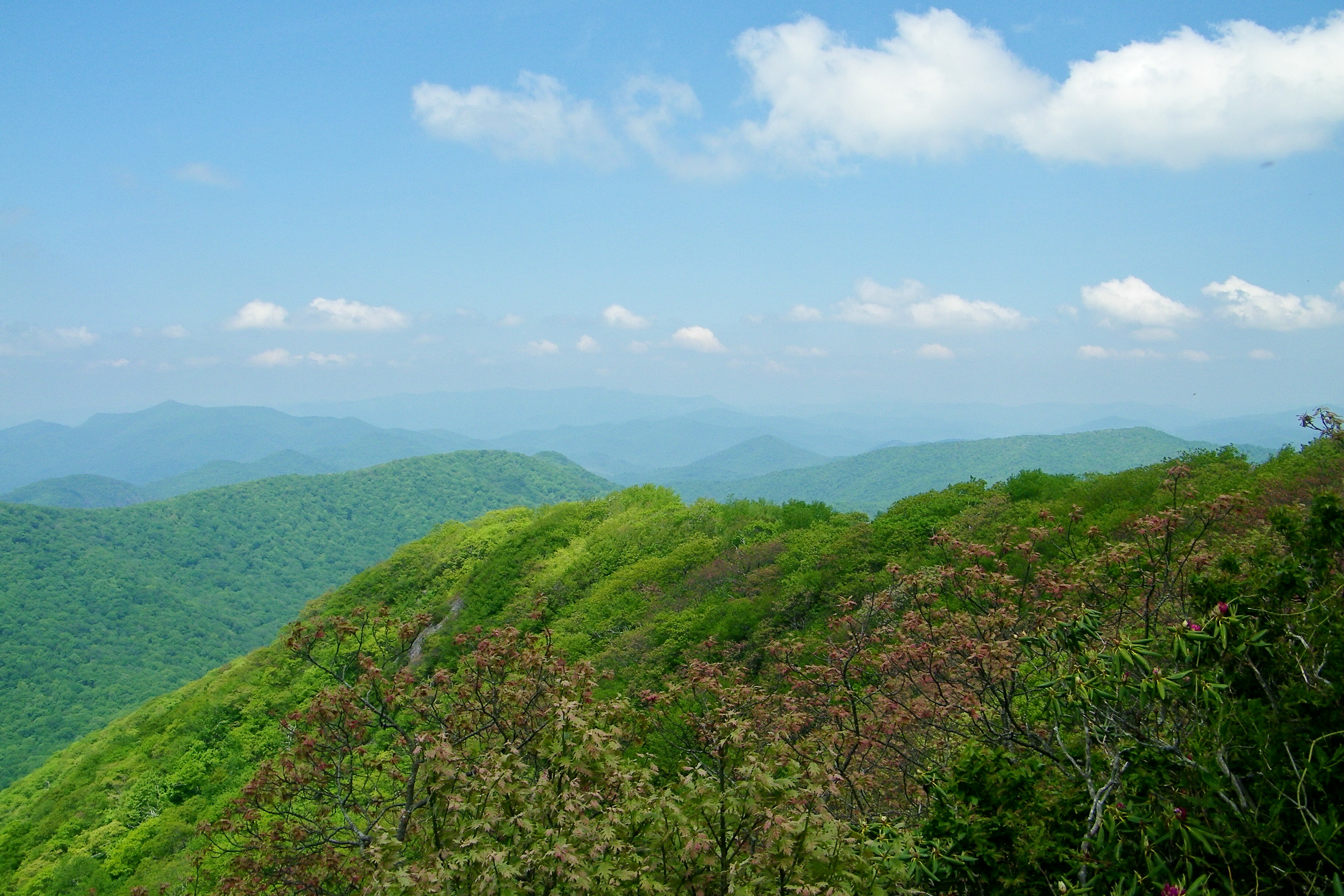
Wayah Bald Mountain View

Wayah Bald View

Nantahala Ranger House #3

Observation Tower View

Smoky Mountains on Fire (III)

W4C/WM-024 - Siler Bald View
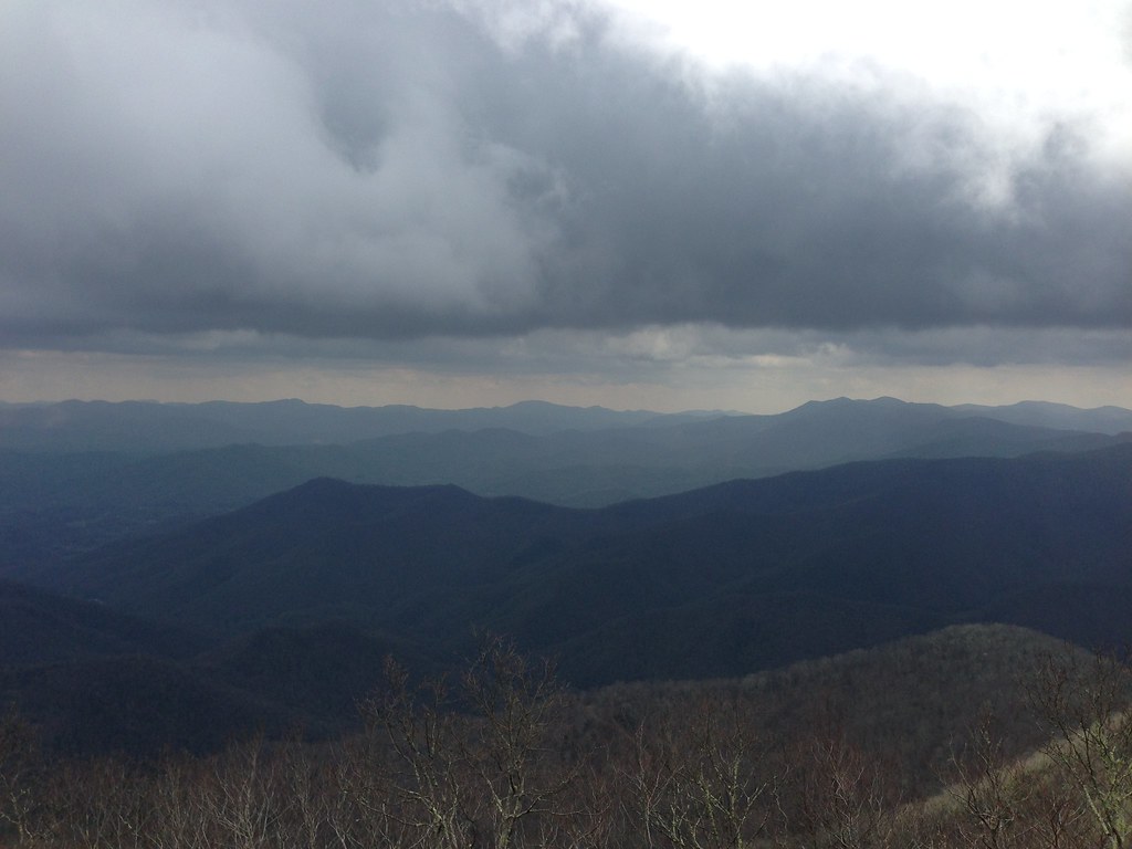
Standing Indian Mountain
View from Wayah Bald Tower

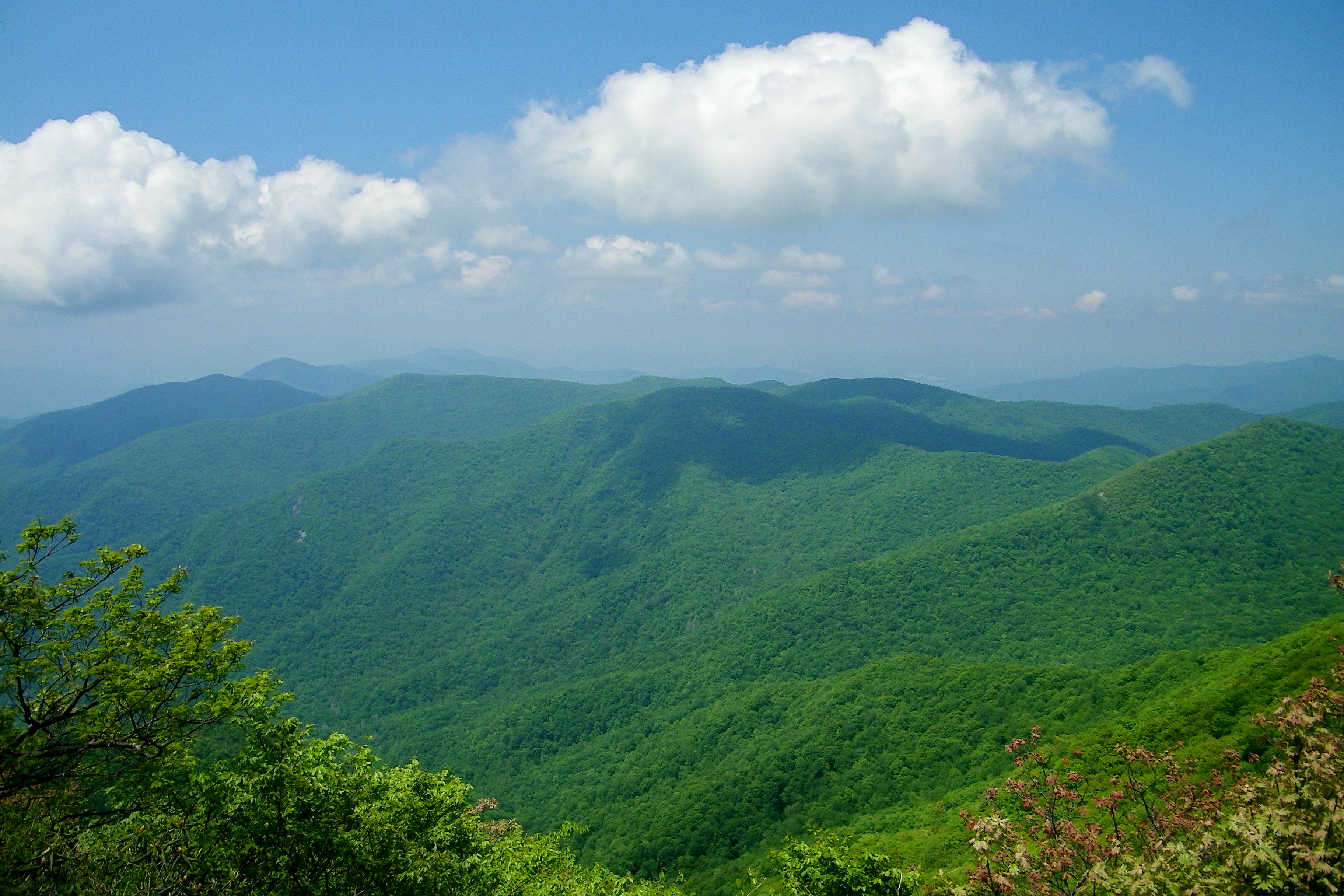
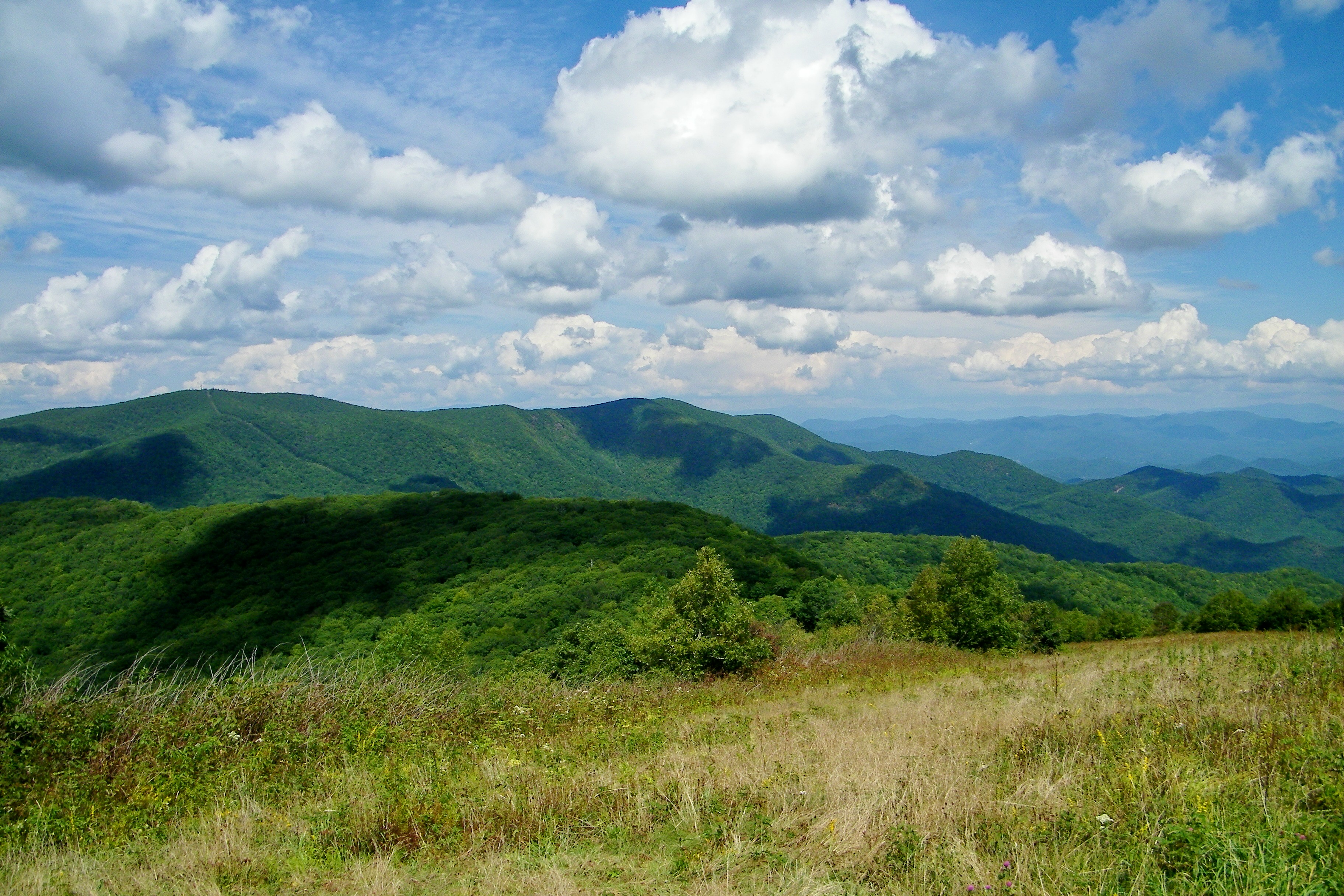
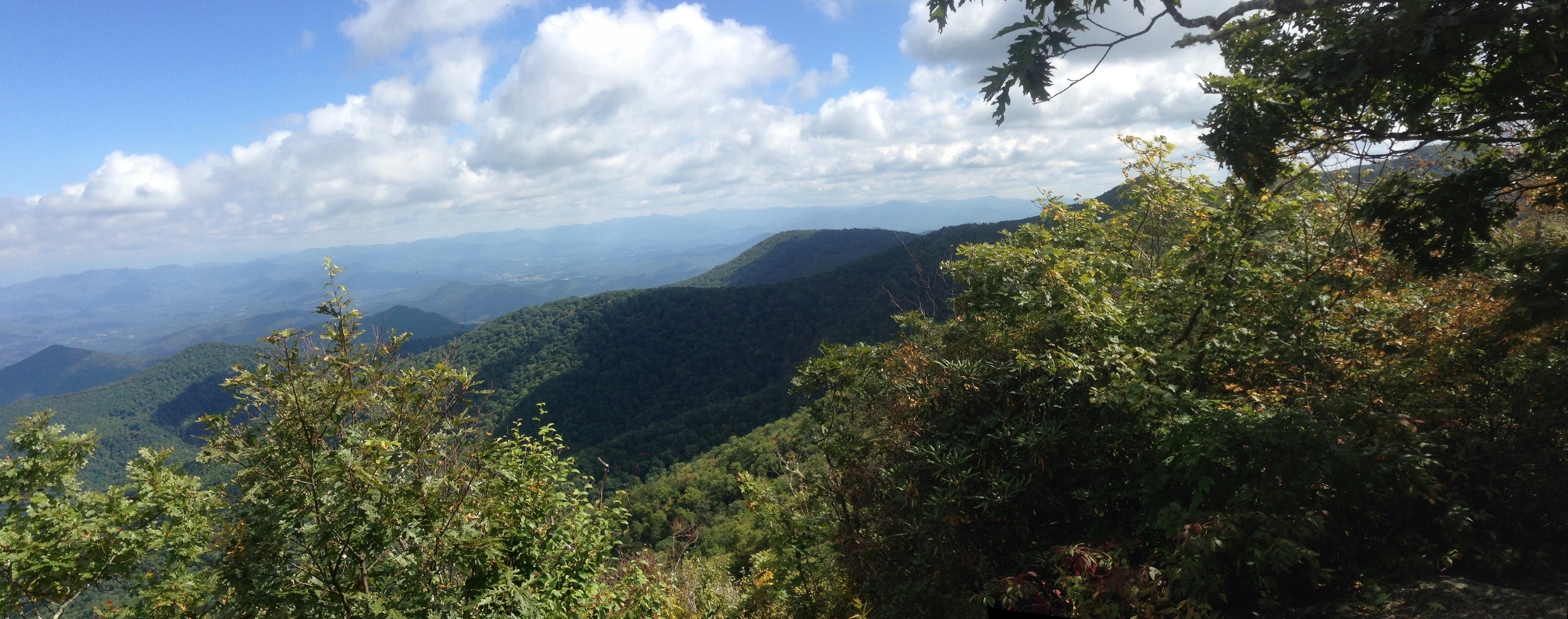
Summer Mountain View
Wayah Bald
82-140_View_from_Wayah_Bald_Nantahala_National_Forest_NC
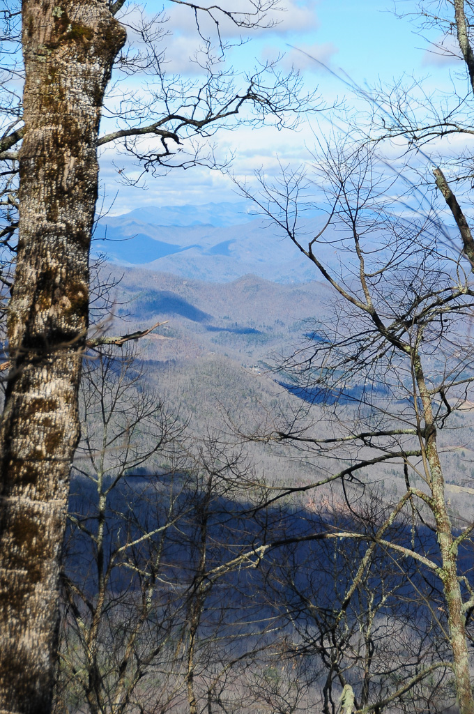
Halfway up Runaway Knob
Standing Indian Mountain
Silers Bald
View from W4C/WM-065 - Rocky Cove Knob
img013_edited-1
View from Wayah Bald
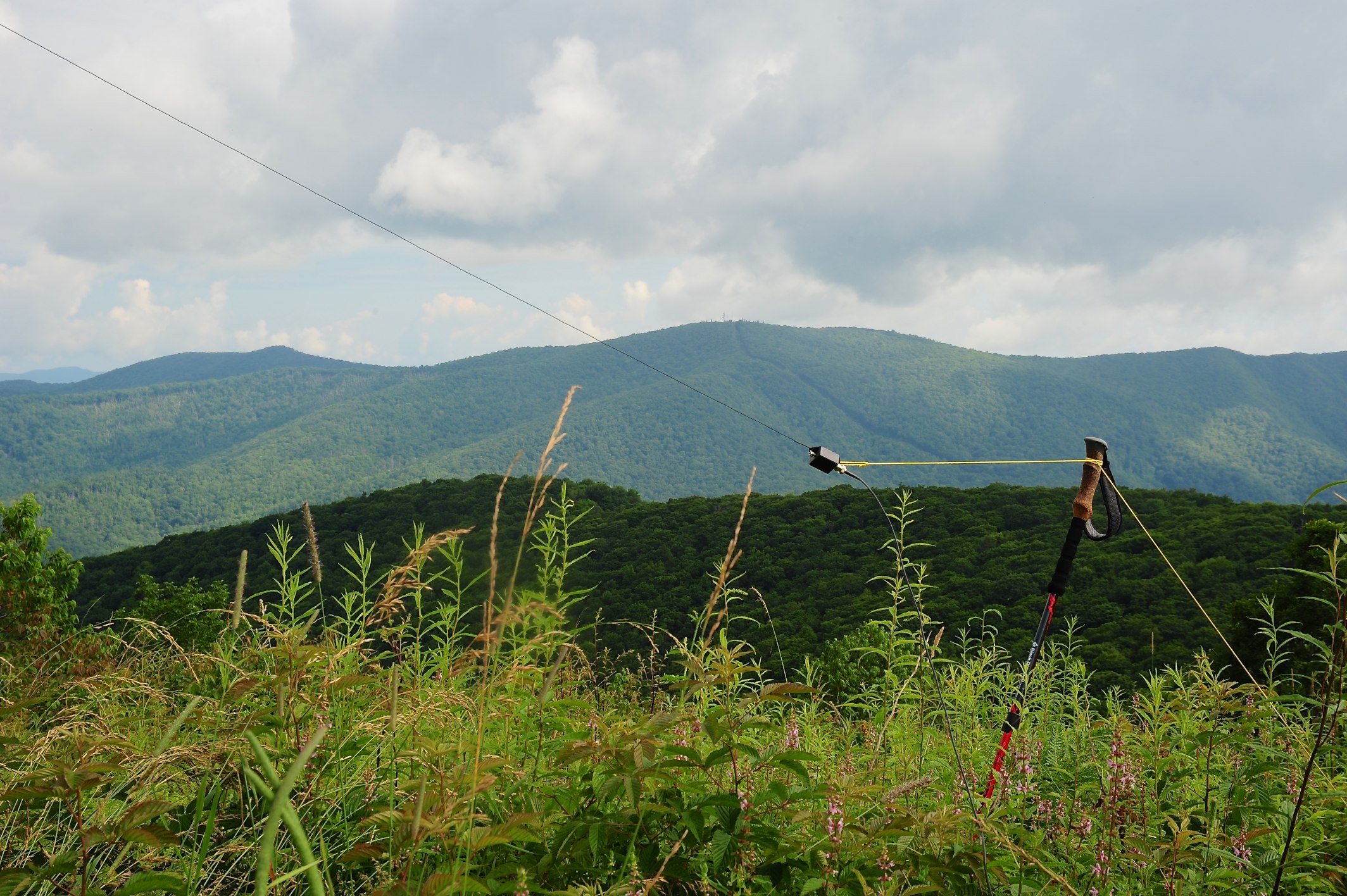
QTH View on W4C/WM-024 - Siler Bald
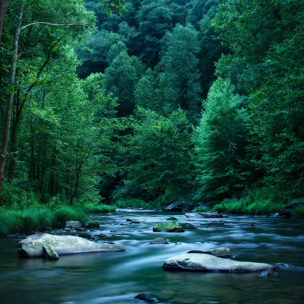
A River's Twilight
Well, this is obviously going to be popular

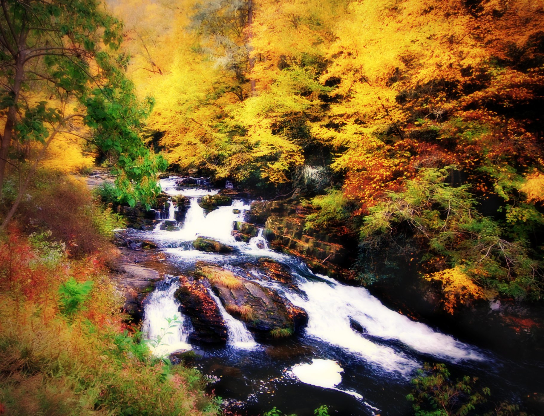
Big Laurel Falls #franklin #standingindian #appalachia #blueridgecountry #welovenc #we_see_wnc #wilderness_culture #biglaurelfalls #diamondbrand_outdoors #cmc100challenge #stream #falls #explore #westernnorthcarolina #landofwaterfalls
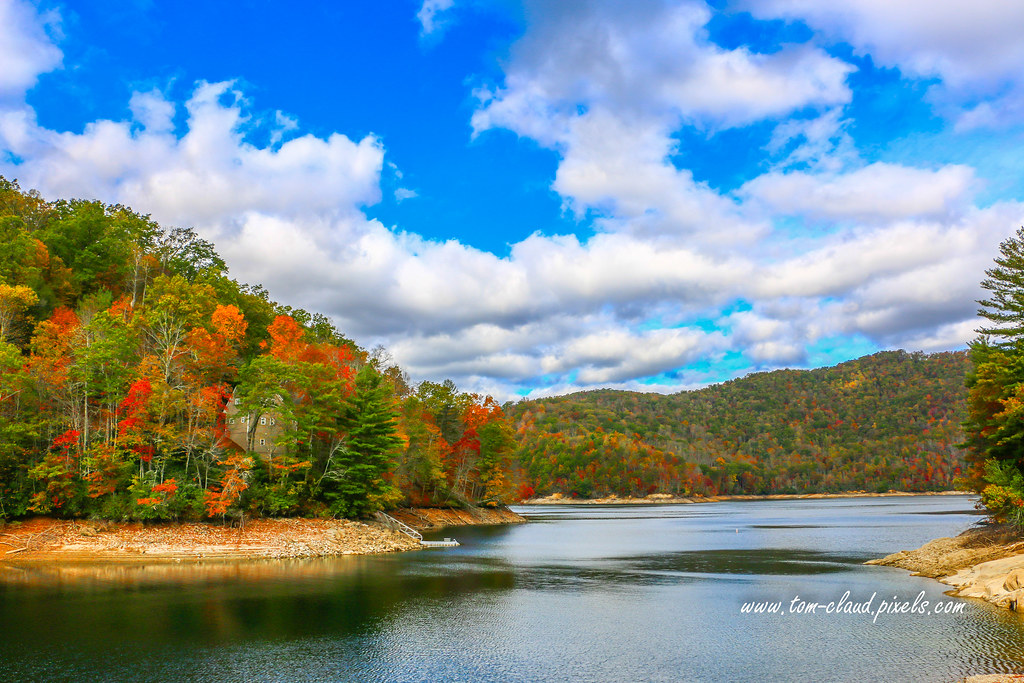
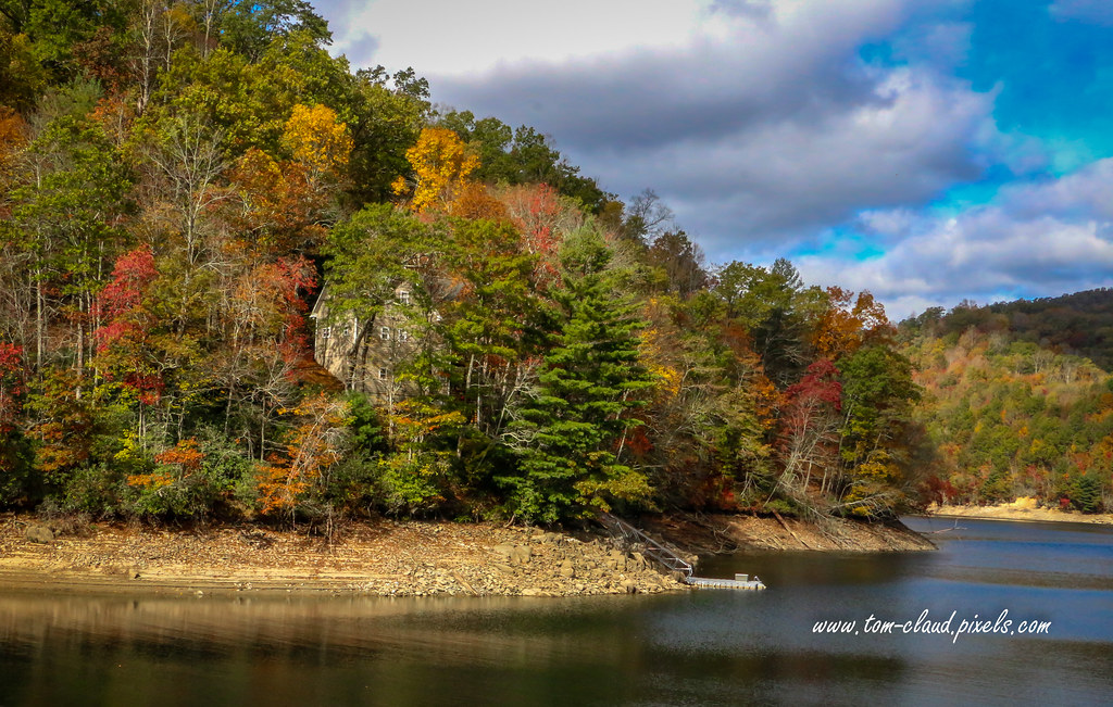
Home on the Lake #2
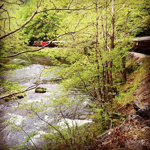
Train tour of the Great Smoky Mts
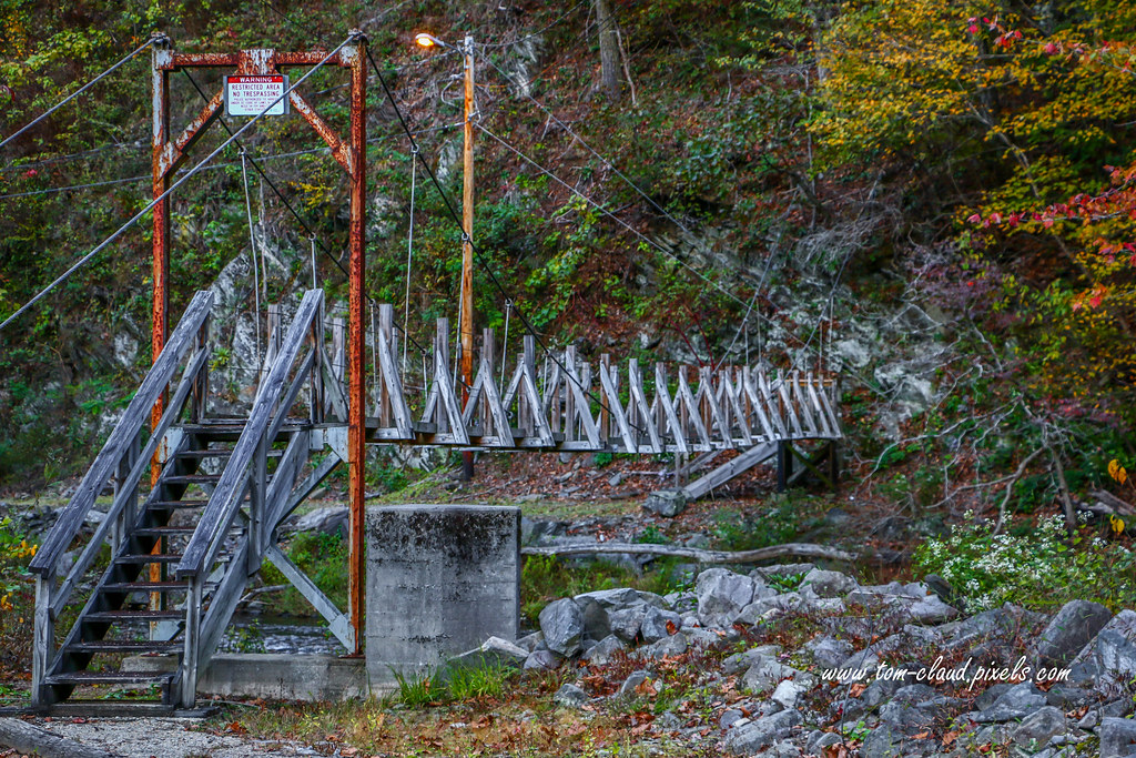
Restricted Footbridge
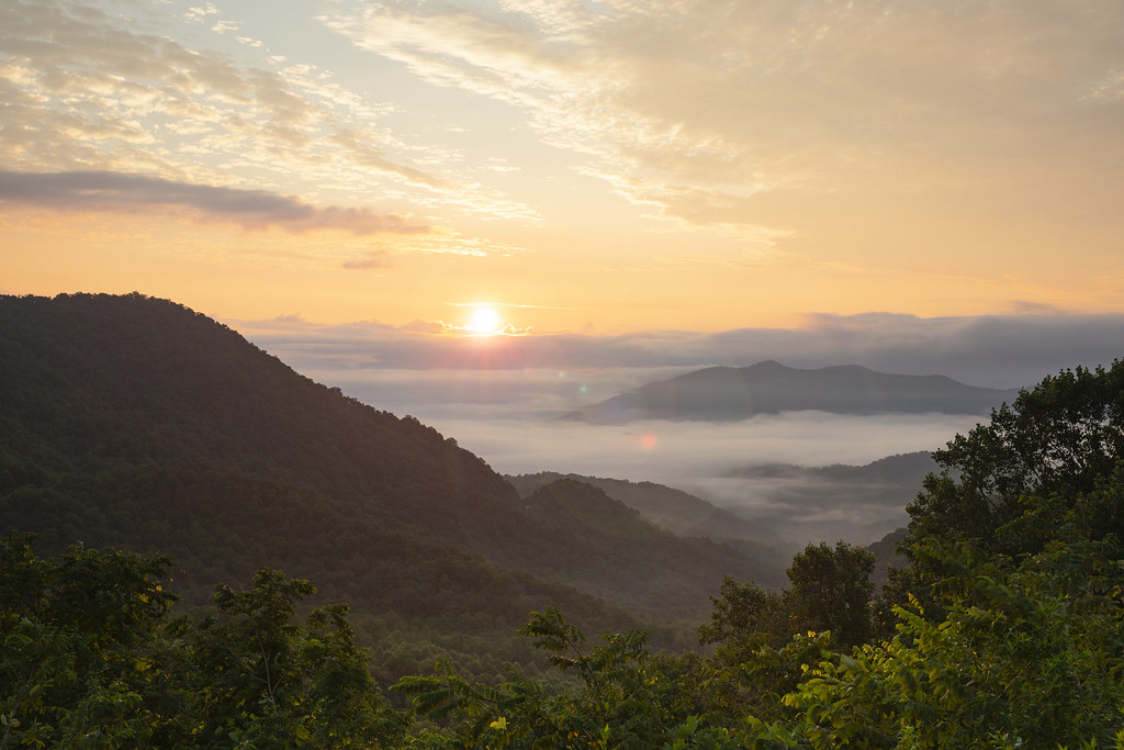
Winding Stair Sunrise
Home on the Lake #3
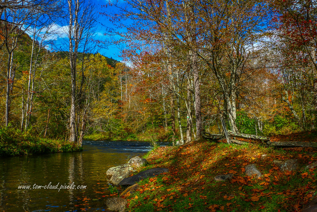
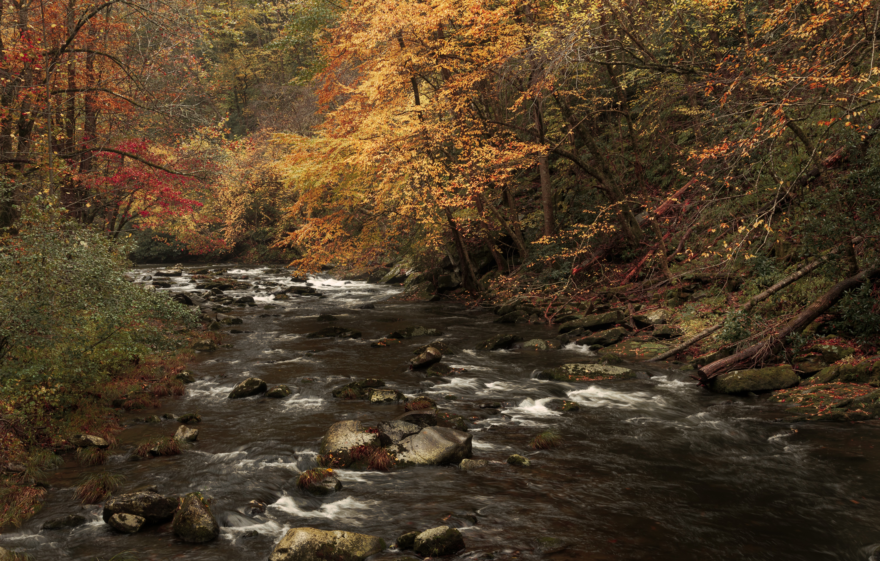
Autumn Mountain Stream

Solar farm and lake Chatuge Route 64

Graham County Railroad - Topton, North Carolina
2013-09-28 14.02.55_stitch

Rufus Morgan Falls
Topographic Map of Water Gauge Rd, Franklin, NC, USA
Find elevation by address:

Places near Water Gauge Rd, Franklin, NC, USA:
169 Wilderness Dr
288 Wilderness Dr
1883 Water Gauge Rd
803 Water Gauge Rd
90 Tate Cove Rd
244 Tate Cove Rd
26 Water Guage Rd
5206 Rainbow Springs Rd
Thunderstruck Lane
300 Angel Knob Ln
347 Old Buck Ln
656 Rainbow Falls Rd
733 S Brooks Cove Rd
315 Hickory Ridge Trail
319 Hickory Ridge Trail
925 S Brooks Cove Rd
55 Conner Ln
276 Cove View Rdg
154 Mill Creek Overlook
6246 Old Hwy 64 E
Recent Searches:
- Elevation of Corso Fratelli Cairoli, 35, Macerata MC, Italy
- Elevation of Tallevast Rd, Sarasota, FL, USA
- Elevation of 4th St E, Sonoma, CA, USA
- Elevation of Black Hollow Rd, Pennsdale, PA, USA
- Elevation of Oakland Ave, Williamsport, PA, USA
- Elevation of Pedrógão Grande, Portugal
- Elevation of Klee Dr, Martinsburg, WV, USA
- Elevation of Via Roma, Pieranica CR, Italy
- Elevation of Tavkvetili Mountain, Georgia
- Elevation of Hartfords Bluff Cir, Mt Pleasant, SC, USA