Elevation of Warsaw, MO, USA
Location: United States > Missouri > Benton County > South Lindsey Township >
Longitude: -93.381871
Latitude: 38.2430811
Elevation: 218m / 715feet
Barometric Pressure: 99KPa
Elevation Map:
Satellite Map:
Related Photos:
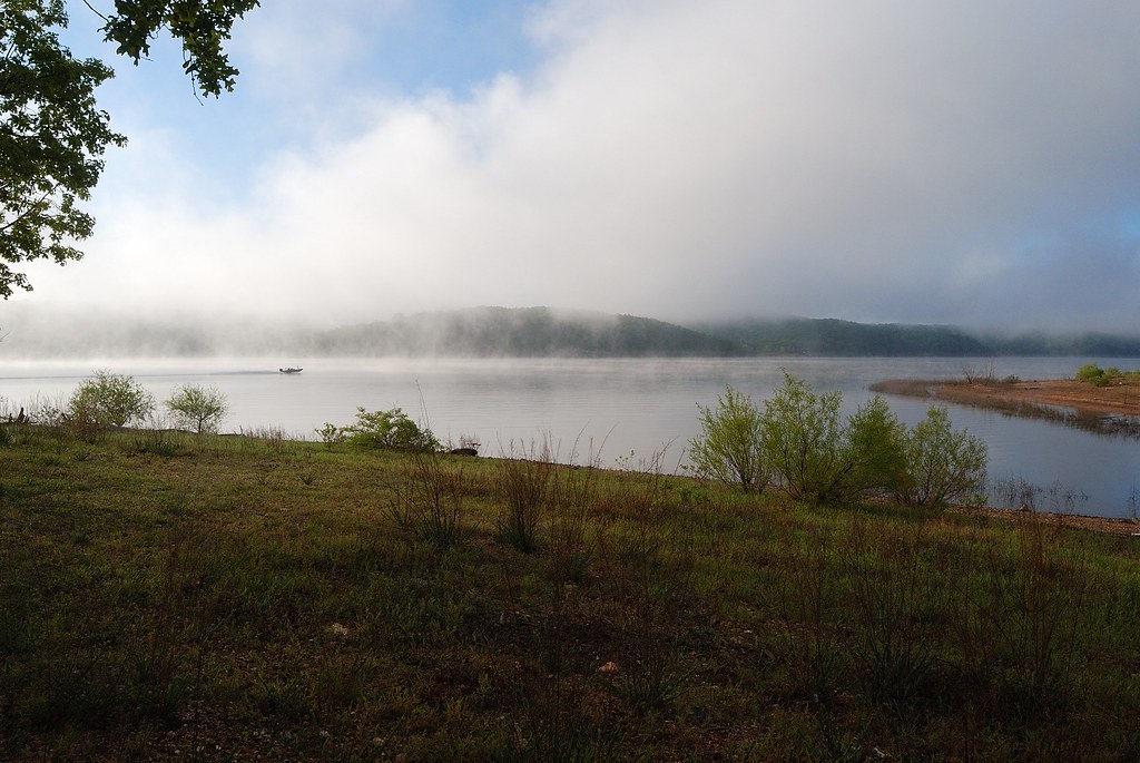
Morning Mist on Truman Lake
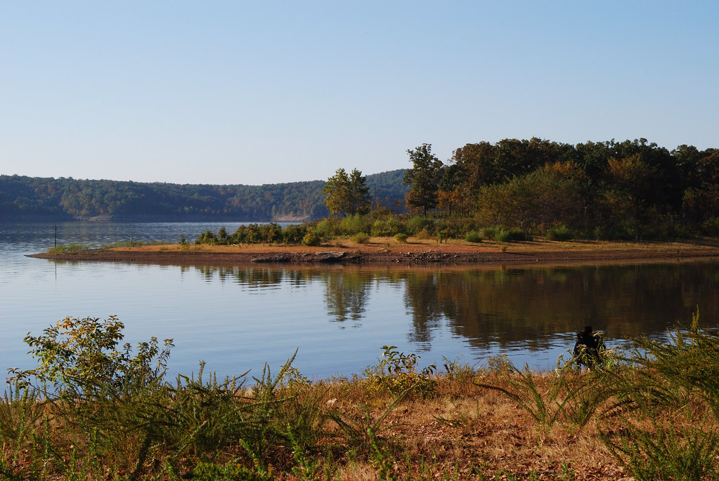
Enjoying the view from Berry Bend Campsite, Harry S. Truman Lake
Topographic Map of Warsaw, MO, USA
Find elevation by address:

Places near Warsaw, MO, USA:
810 Lucas Ln
148 Sue Ave
1545 Renee
1606 Dorsey Ln
South Lindsey Township
Walter Avenue
MO-83, Warsaw, MO, USA
Tom Township
Harry S Truman State Park
19437 Baptist Ridge Rd
Fristoe Township
Burton Dr, Warsaw, MO, USA
Black Rock Avenue
Neuharth Circle
Shore Road
28665 Fir Dr
26744 Waterview Dr
26758 Waterview Dr
26770 Waterview Dr
26770 Waterview Dr
Recent Searches:
- Elevation of Corso Fratelli Cairoli, 35, Macerata MC, Italy
- Elevation of Tallevast Rd, Sarasota, FL, USA
- Elevation of 4th St E, Sonoma, CA, USA
- Elevation of Black Hollow Rd, Pennsdale, PA, USA
- Elevation of Oakland Ave, Williamsport, PA, USA
- Elevation of Pedrógão Grande, Portugal
- Elevation of Klee Dr, Martinsburg, WV, USA
- Elevation of Via Roma, Pieranica CR, Italy
- Elevation of Tavkvetili Mountain, Georgia
- Elevation of Hartfords Bluff Cir, Mt Pleasant, SC, USA