Elevation of Shore Road, Shore Rd, Warsaw, MO, USA
Location: United States > Missouri > Benton County > Cole Township >
Longitude: -93.234245
Latitude: 38.2721041
Elevation: 245m / 804feet
Barometric Pressure: 98KPa
Elevation Map:
Satellite Map:
Related Photos:
DSC_0252
DSC_0251
DSC_0249
DSC_0250

Spring has sprung! #spring #Missouri #wildonions
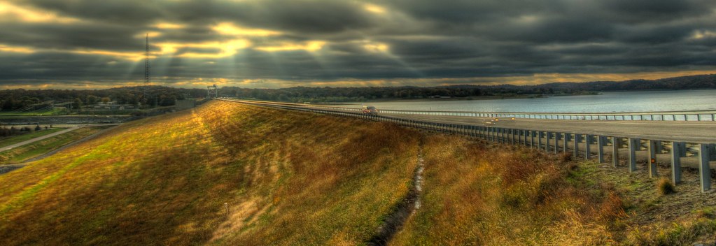
Sun Rays on the Truman Dam [HDR]

DSC04568.jpg
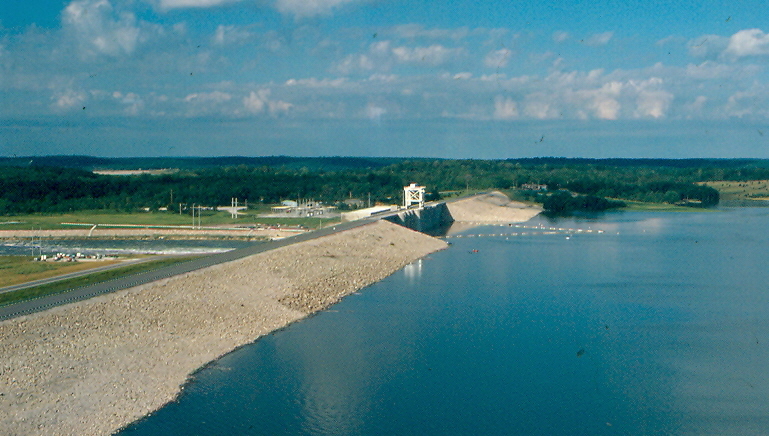
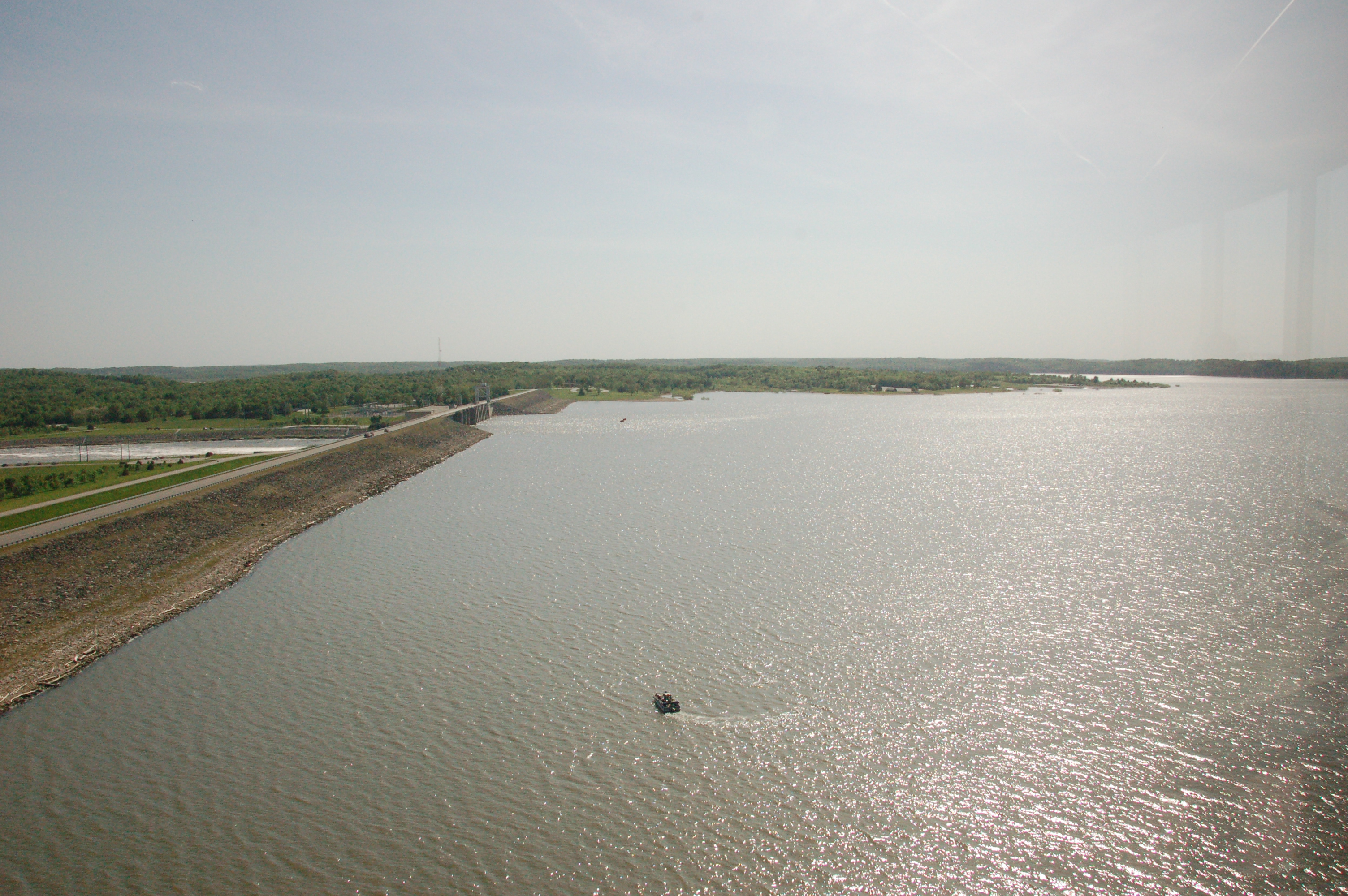
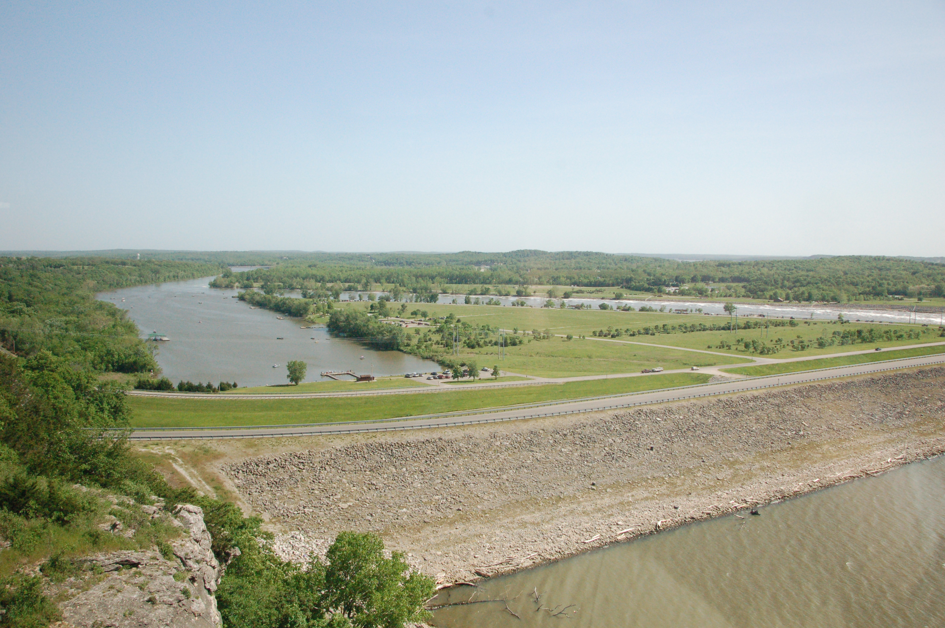
Truman Dam, Benton County (Mo.), 18 June 1981
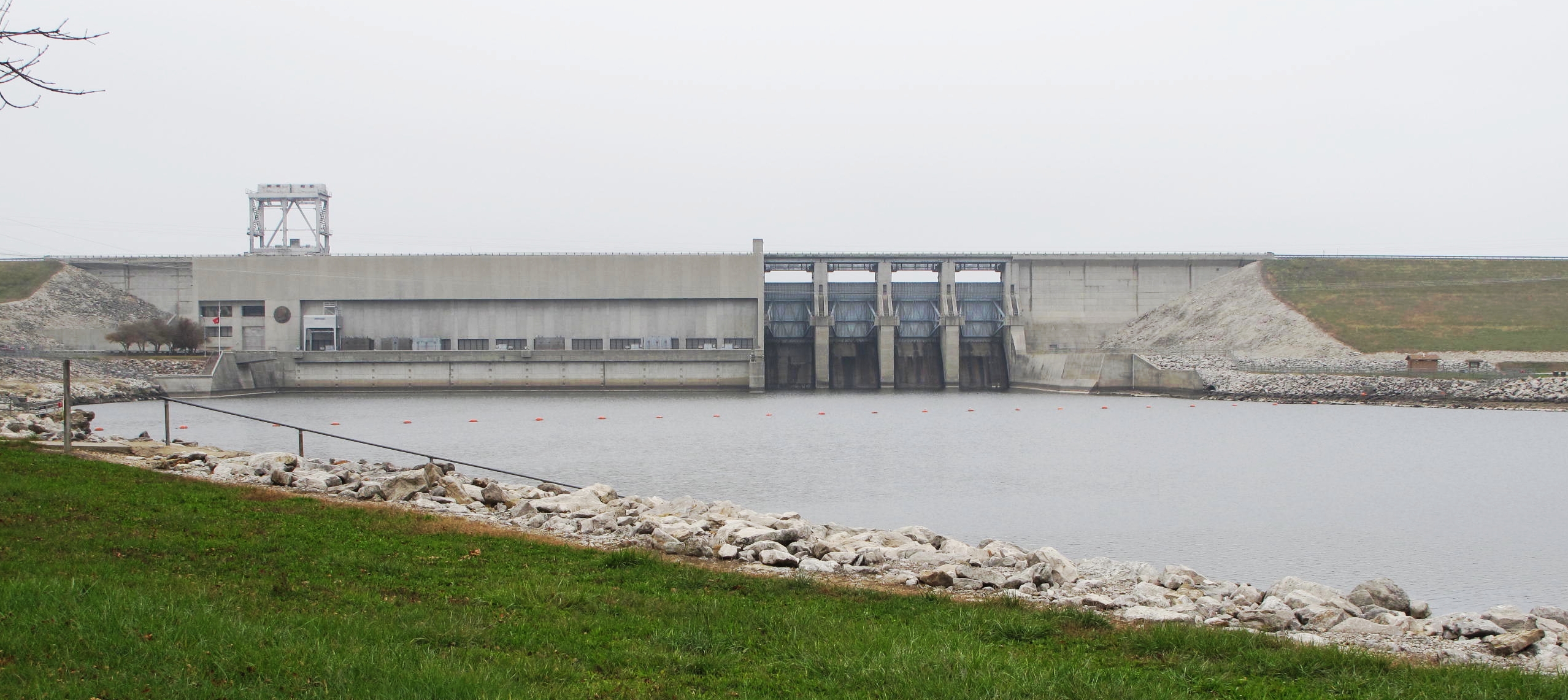
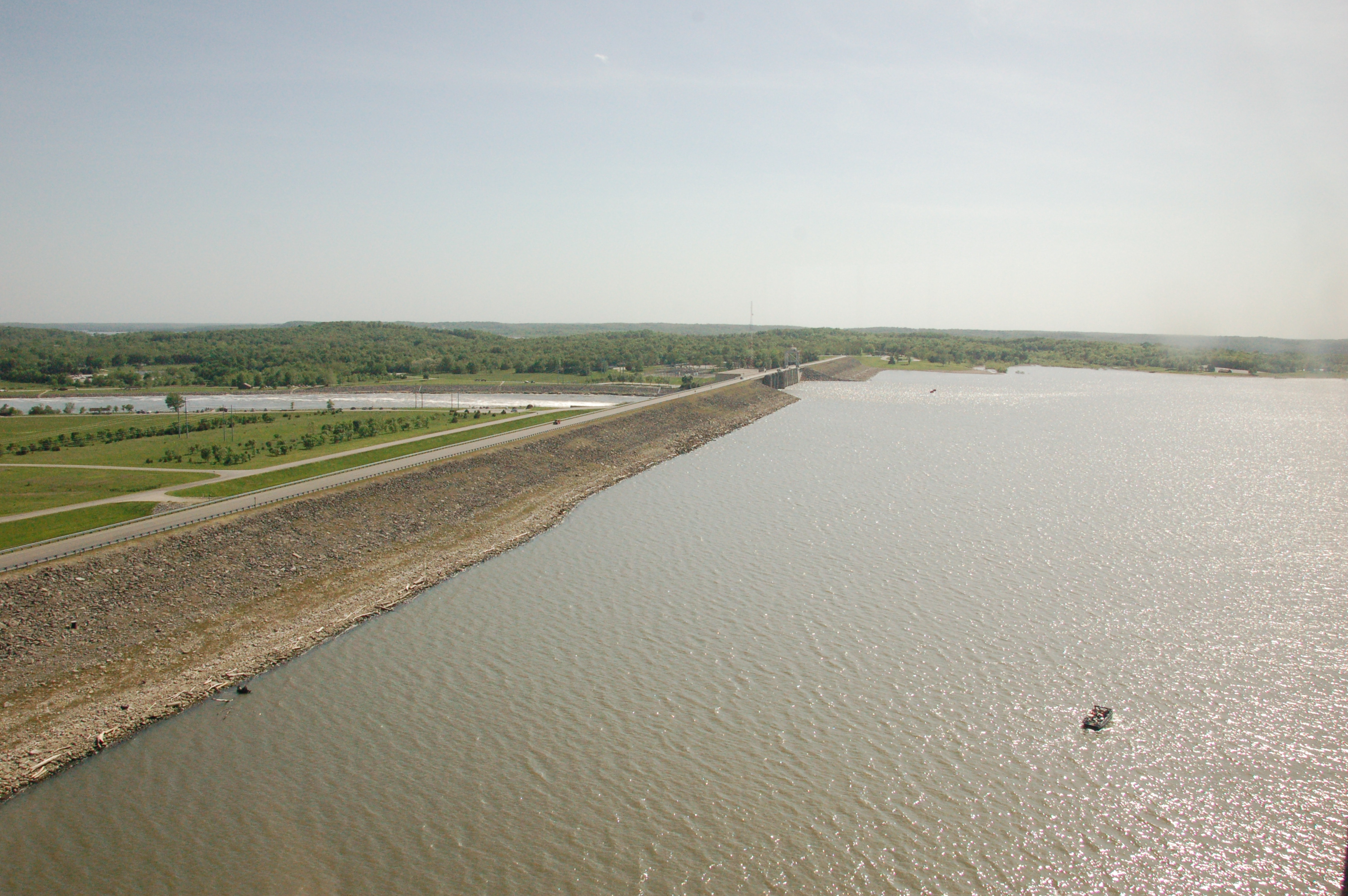
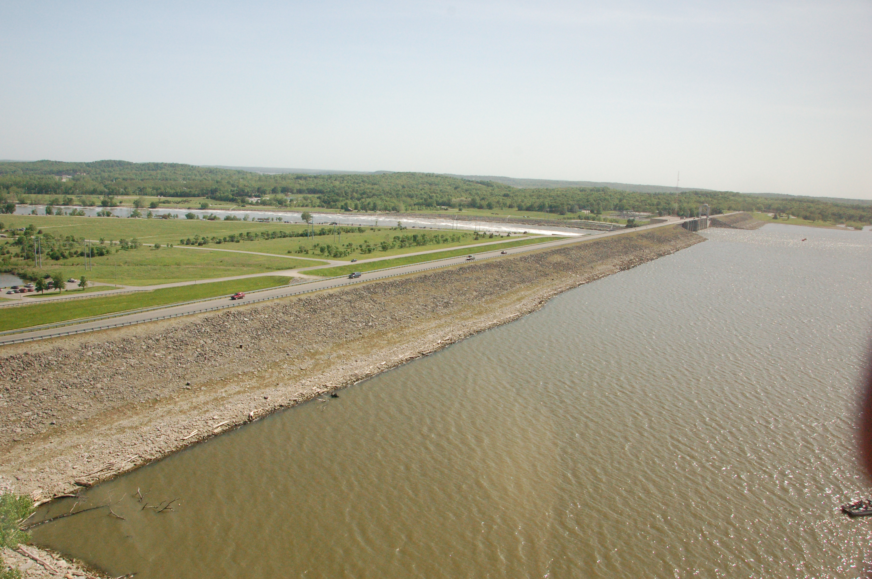
Harry S. Truman Dam and Lake, Benton County (Mo.), 28 October 2013

Switch Yard Illuminated

Night Time At The Harry S Truman Power Plant
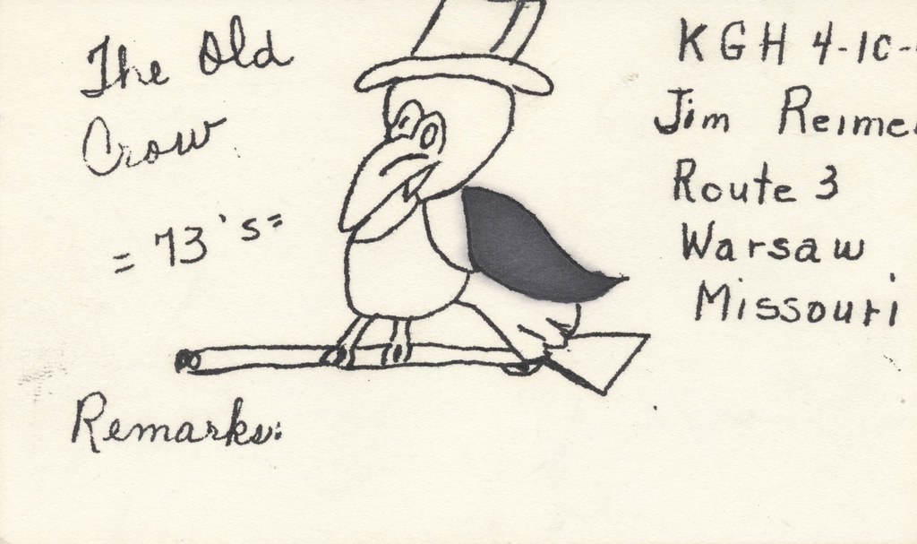
The Old Crow - Warsaw, Missouri
Topographic Map of Shore Road, Shore Rd, Warsaw, MO, USA
Find elevation by address:

Places near Shore Road, Shore Rd, Warsaw, MO, USA:
28665 Fir Dr
Black Rock Avenue
26744 Waterview Dr
26758 Waterview Dr
26770 Waterview Dr
26770 Waterview Dr
Neuharth Circle
Fairoaks Drive
Walter Avenue
South Lindsey Township
Fristoe Township
19437 Baptist Ridge Rd
148 Sue Ave
1606 Dorsey Ln
1545 Renee
810 Lucas Ln
Warsaw
MO-83, Warsaw, MO, USA
Tom Township
Harry S Truman State Park
Recent Searches:
- Elevation of Corso Fratelli Cairoli, 35, Macerata MC, Italy
- Elevation of Tallevast Rd, Sarasota, FL, USA
- Elevation of 4th St E, Sonoma, CA, USA
- Elevation of Black Hollow Rd, Pennsdale, PA, USA
- Elevation of Oakland Ave, Williamsport, PA, USA
- Elevation of Pedrógão Grande, Portugal
- Elevation of Klee Dr, Martinsburg, WV, USA
- Elevation of Via Roma, Pieranica CR, Italy
- Elevation of Tavkvetili Mountain, Georgia
- Elevation of Hartfords Bluff Cir, Mt Pleasant, SC, USA