Elevation of Fir Dr, Warsaw, MO, USA
Location: United States > Missouri > Benton County > South Lindsey Township > Warsaw >
Longitude: -93.2313416
Latitude: 38.2684068
Elevation: 245m / 804feet
Barometric Pressure: 0KPa
Related Photos:
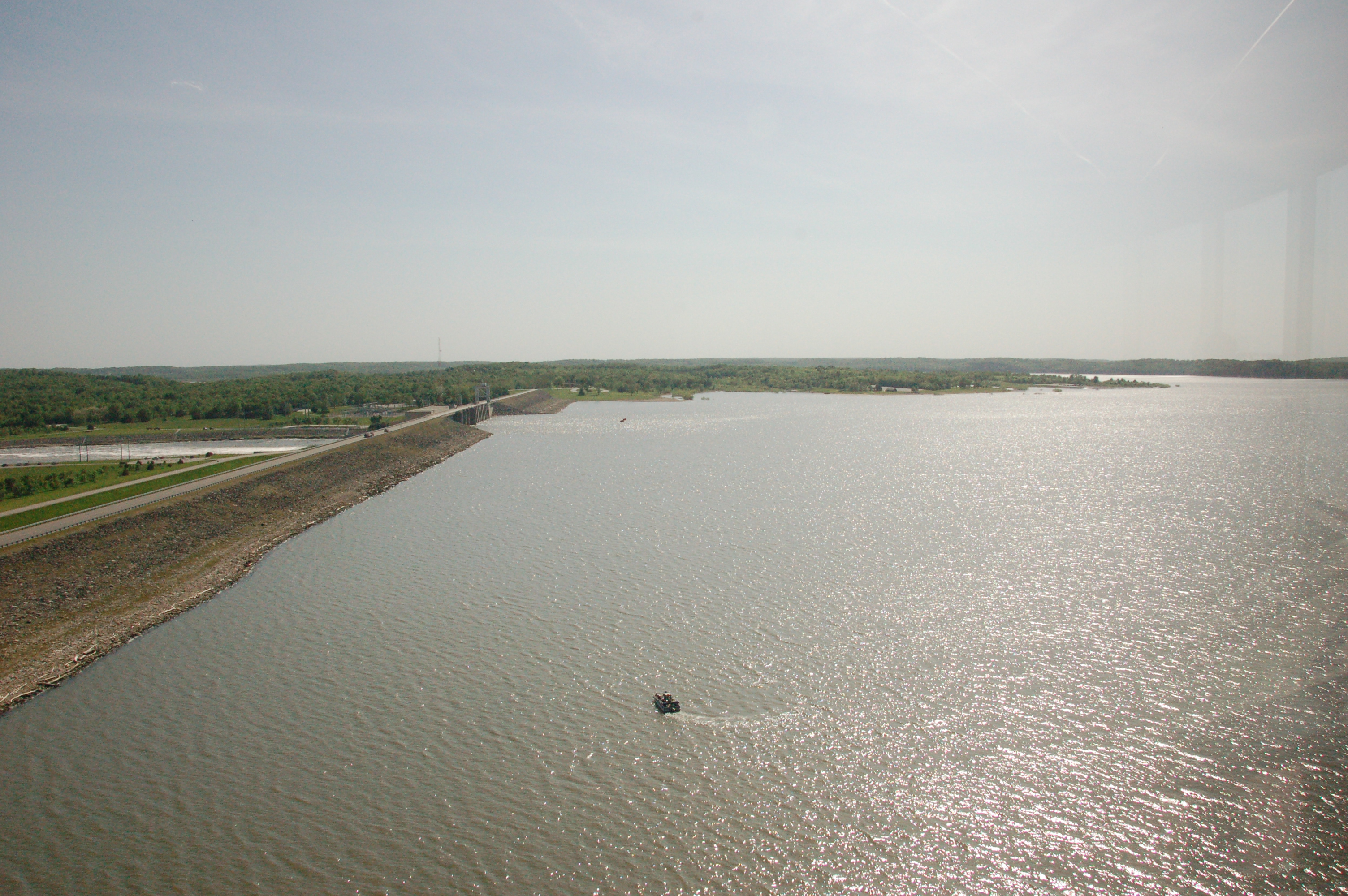
DSC_0252
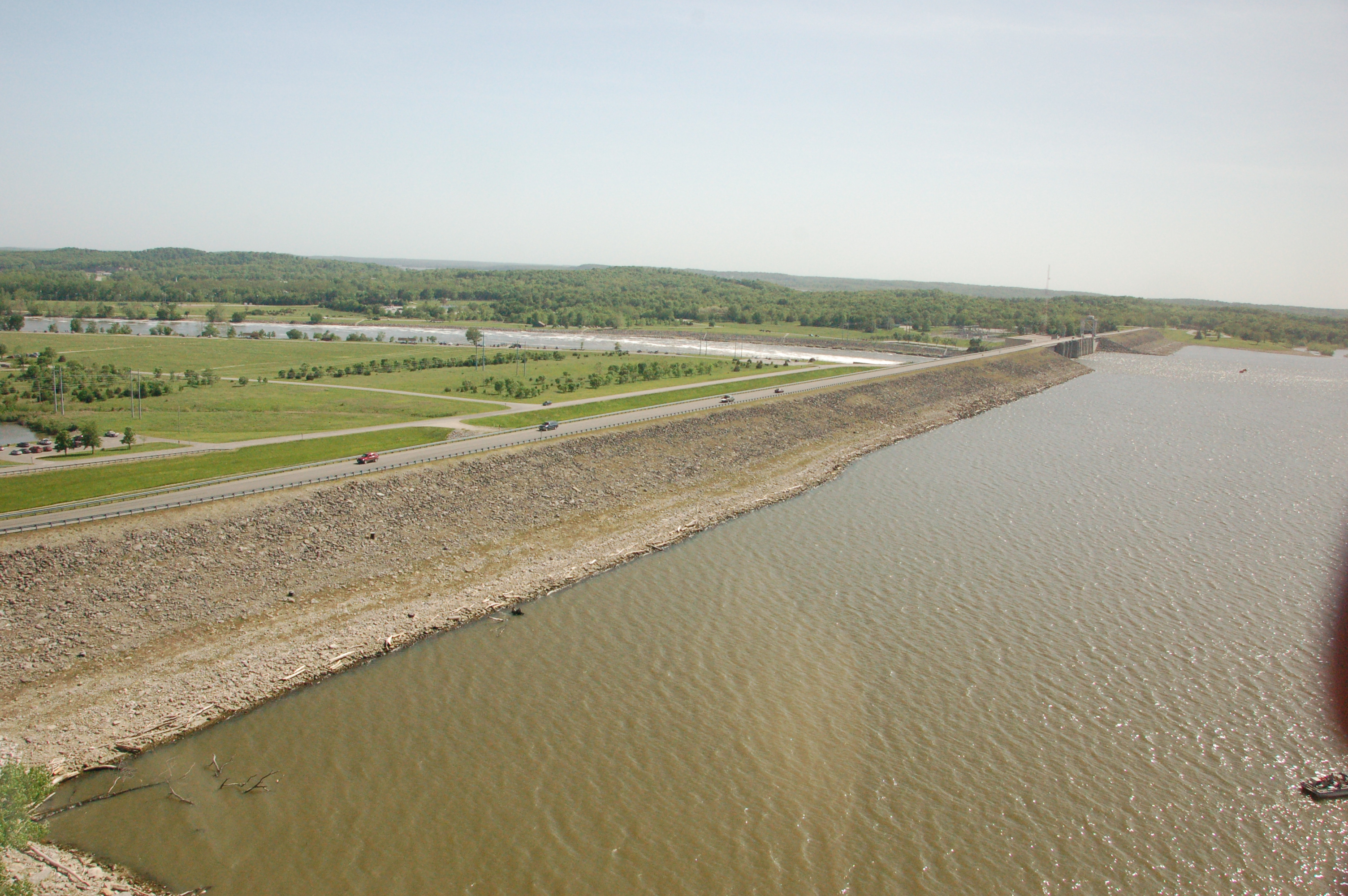
DSC_0250

#bike #cycling #bikelife #trail #spring #flowers #redbud #lakeoftheozarks #HarrySTruman #reservoir #clouds #cloudscape #sky #skyscape #warsaw #missouri

Spring has sprung! #spring #Missouri #wildonions
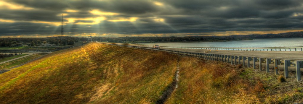
Sun Rays on the Truman Dam [HDR]
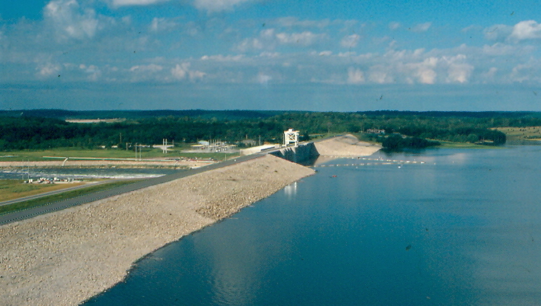
Truman Dam, Benton County (Mo.), 18 June 1981

DSC04568.jpg

Steven Harvey - bull pride
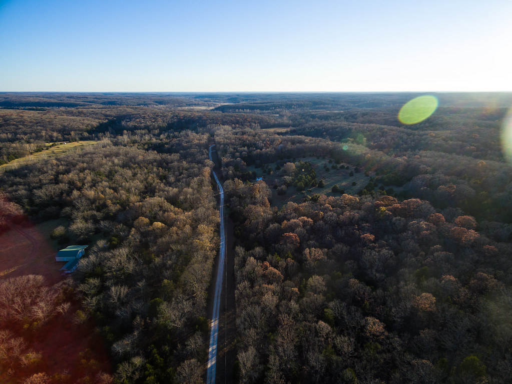
Missouri Country Road
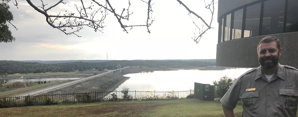
Truman Lake Visitor Center on the west side of Warsaw, Mo.

charley's buffet_20170929_184718
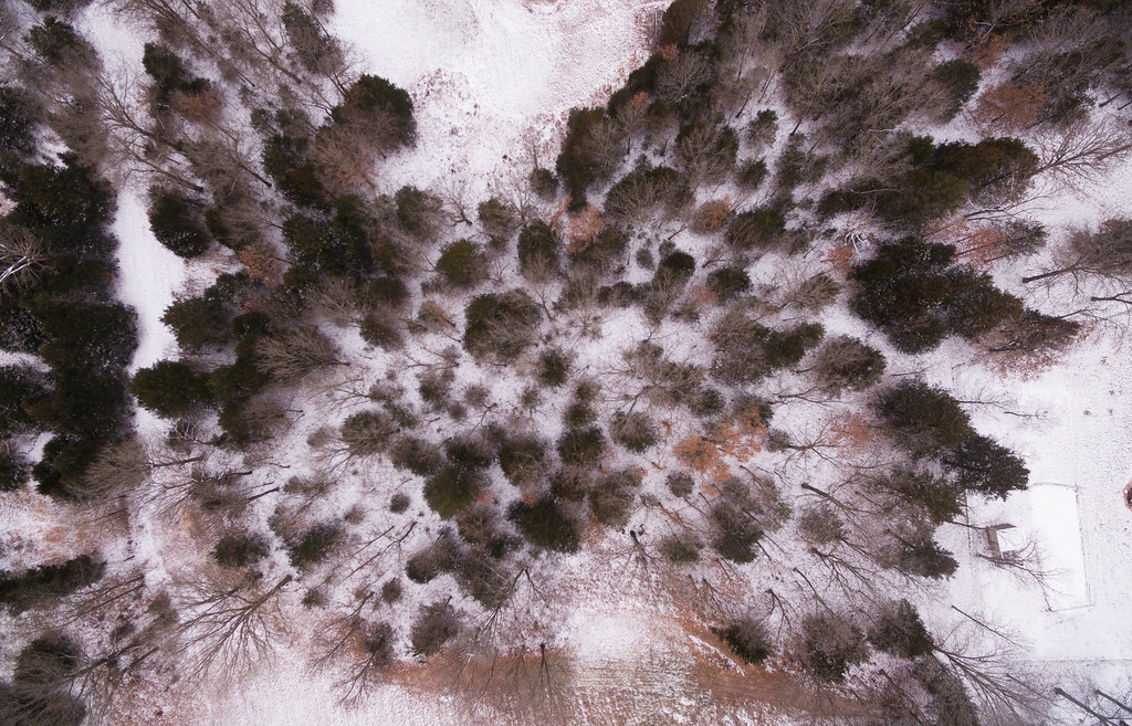
Winter 2017

eierman wedding reception_9574

No #Fish #Cleaning #fishcleaning #fishing #sign #hotel #rules #warsaw #missouri
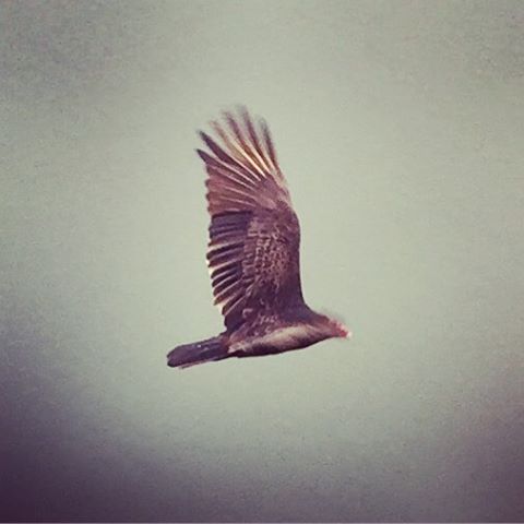
#bird #vulture #flight #thermals #lane #reservoir #usace #HarrySTruman #missouri #wildlife
Edwards Community Building (Edwards, Missouri)

Trees are starting to turn.
Topographic Map of Fir Dr, Warsaw, MO, USA
Find elevation by address:

Places near Fir Dr, Warsaw, MO, USA:
Shore Road
26744 Waterview Dr
26758 Waterview Dr
26770 Waterview Dr
26770 Waterview Dr
Black Rock Avenue
Neuharth Circle
Fairoaks Drive
Walter Avenue
Fristoe Township
South Lindsey Township
19437 Baptist Ridge Rd
148 Sue Ave
1606 Dorsey Ln
1545 Renee
810 Lucas Ln
MO-83, Warsaw, MO, USA
Warsaw
Tom Township
Harry S Truman State Park
Recent Searches:
- Elevation map of Greenland, Greenland
- Elevation of Sullivan Hill, New York, New York, 10002, USA
- Elevation of Morehead Road, Withrow Downs, Charlotte, Mecklenburg County, North Carolina, 28262, USA
- Elevation of 2800, Morehead Road, Withrow Downs, Charlotte, Mecklenburg County, North Carolina, 28262, USA
- Elevation of Yangbi Yi Autonomous County, Yunnan, China
- Elevation of Pingpo, Yangbi Yi Autonomous County, Yunnan, China
- Elevation of Mount Malong, Pingpo, Yangbi Yi Autonomous County, Yunnan, China
- Elevation map of Yongping County, Yunnan, China
- Elevation of North 8th Street, Palatka, Putnam County, Florida, 32177, USA
- Elevation of 107, Big Apple Road, East Palatka, Putnam County, Florida, 32131, USA
- Elevation of Jiezi, Chongzhou City, Sichuan, China
- Elevation of Chongzhou City, Sichuan, China
- Elevation of Huaiyuan, Chongzhou City, Sichuan, China
- Elevation of Qingxia, Chengdu, Sichuan, China
- Elevation of Corso Fratelli Cairoli, 35, Macerata MC, Italy
- Elevation of Tallevast Rd, Sarasota, FL, USA
- Elevation of 4th St E, Sonoma, CA, USA
- Elevation of Black Hollow Rd, Pennsdale, PA, USA
- Elevation of Oakland Ave, Williamsport, PA, USA
- Elevation of Pedrógão Grande, Portugal