Elevation of Warm Springs Rd, Warm Springs, AR, USA
Location: United States > Arkansas > Randolph County > Siloam Township >
Longitude: -90.963506
Latitude: 36.4582539
Elevation: 145m / 476feet
Barometric Pressure: 100KPa
Elevation Map:
Satellite Map:
Related Photos:

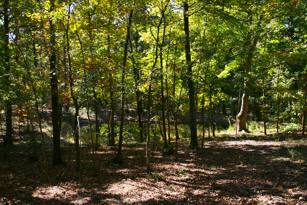
20081025_0416
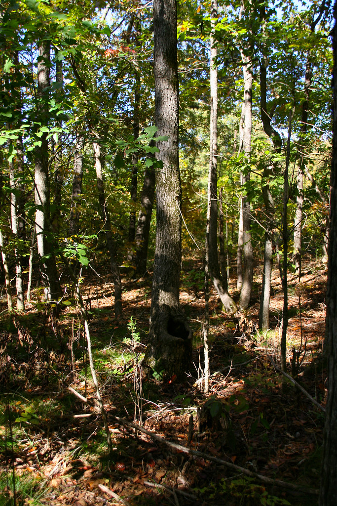
20081025_0309

20081025_0432

20081025_0397
20081025_0439

20081025_0440

20081025_0393

20081025_0431
20081025_0445
20081025_0414
20081025_0446

20081025_0270
20081025_0401

20081025_0255

20081025_0269
Topographic Map of Warm Springs Rd, Warm Springs, AR, USA
Find elevation by address:

Places near Warm Springs Rd, Warm Springs, AR, USA:
Ingram Township
Siloam Township
Siloam Rd, Maynard, AR, USA
1345 Palestine Rd
Maynard
AR-, Maynard, AR, USA
Columbia Township
Warm Springs Township
Warm Springs
Parkview, Warm Springs, AR, USA
Richardson Township
AR-, Pocahontas, AR, USA
State Hwy, Pocahontas, AR, USA
Randolph County
Jackson Township
Demun
Shiloh Township
Stoney Point Rd, Pocahontas, AR, USA
State Hwy 93, Pocahontas, AR, USA
State Hwy E, Doniphan, MO, USA
Recent Searches:
- Elevation of Corso Fratelli Cairoli, 35, Macerata MC, Italy
- Elevation of Tallevast Rd, Sarasota, FL, USA
- Elevation of 4th St E, Sonoma, CA, USA
- Elevation of Black Hollow Rd, Pennsdale, PA, USA
- Elevation of Oakland Ave, Williamsport, PA, USA
- Elevation of Pedrógão Grande, Portugal
- Elevation of Klee Dr, Martinsburg, WV, USA
- Elevation of Via Roma, Pieranica CR, Italy
- Elevation of Tavkvetili Mountain, Georgia
- Elevation of Hartfords Bluff Cir, Mt Pleasant, SC, USA