Elevation of Richardson Township, AR, USA
Location: United States > Arkansas > Randolph County >
Longitude: -90.877047
Latitude: 36.4007565
Elevation: 117m / 384feet
Barometric Pressure: 100KPa
Elevation Map:
Satellite Map:
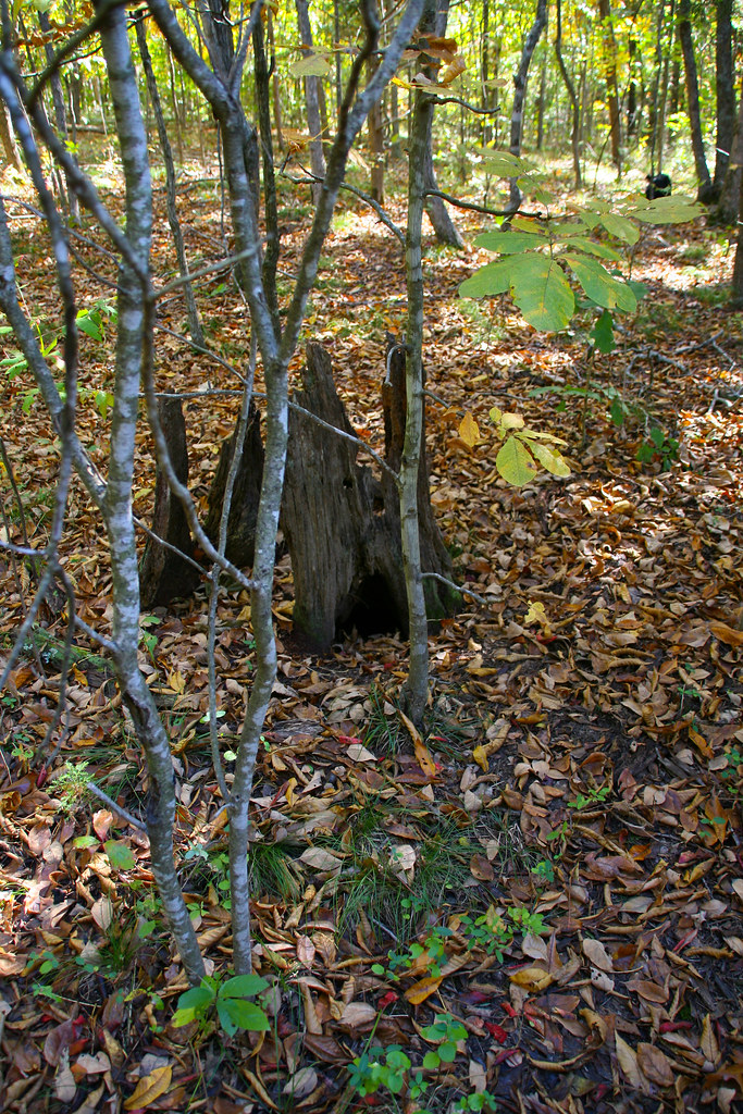
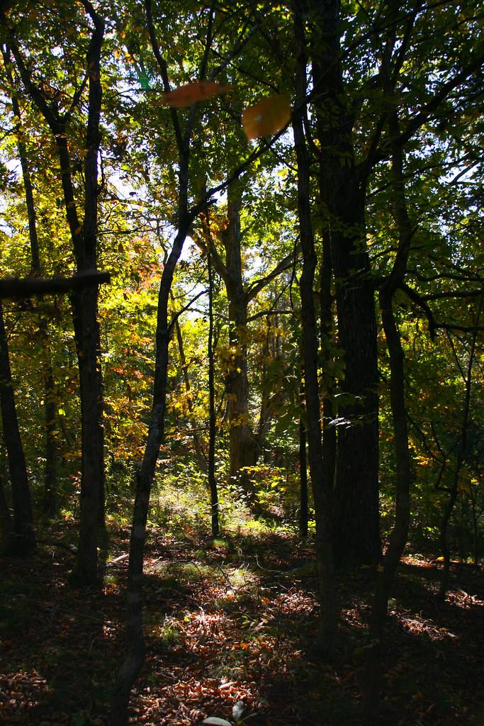
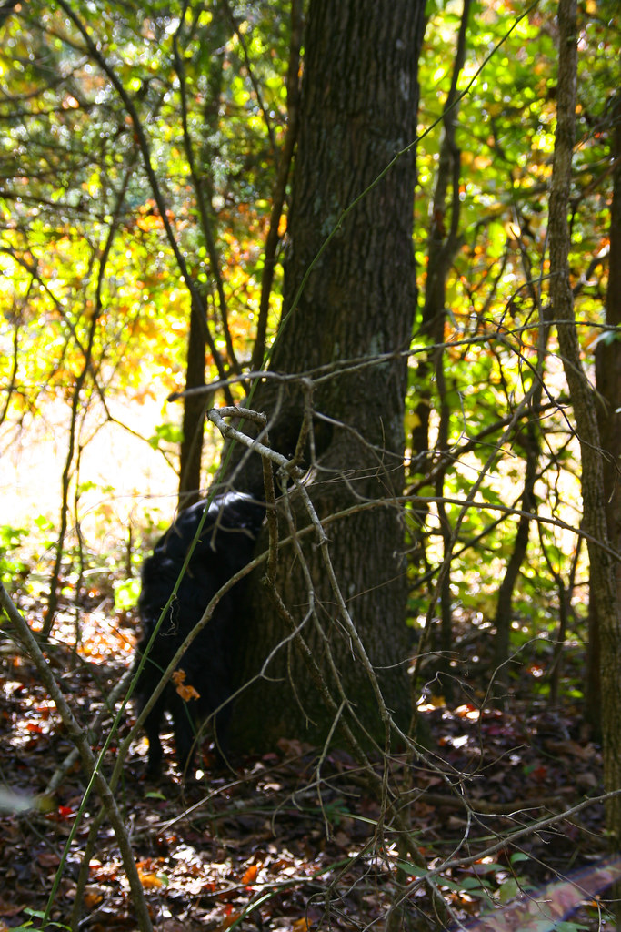
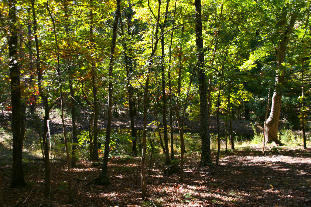
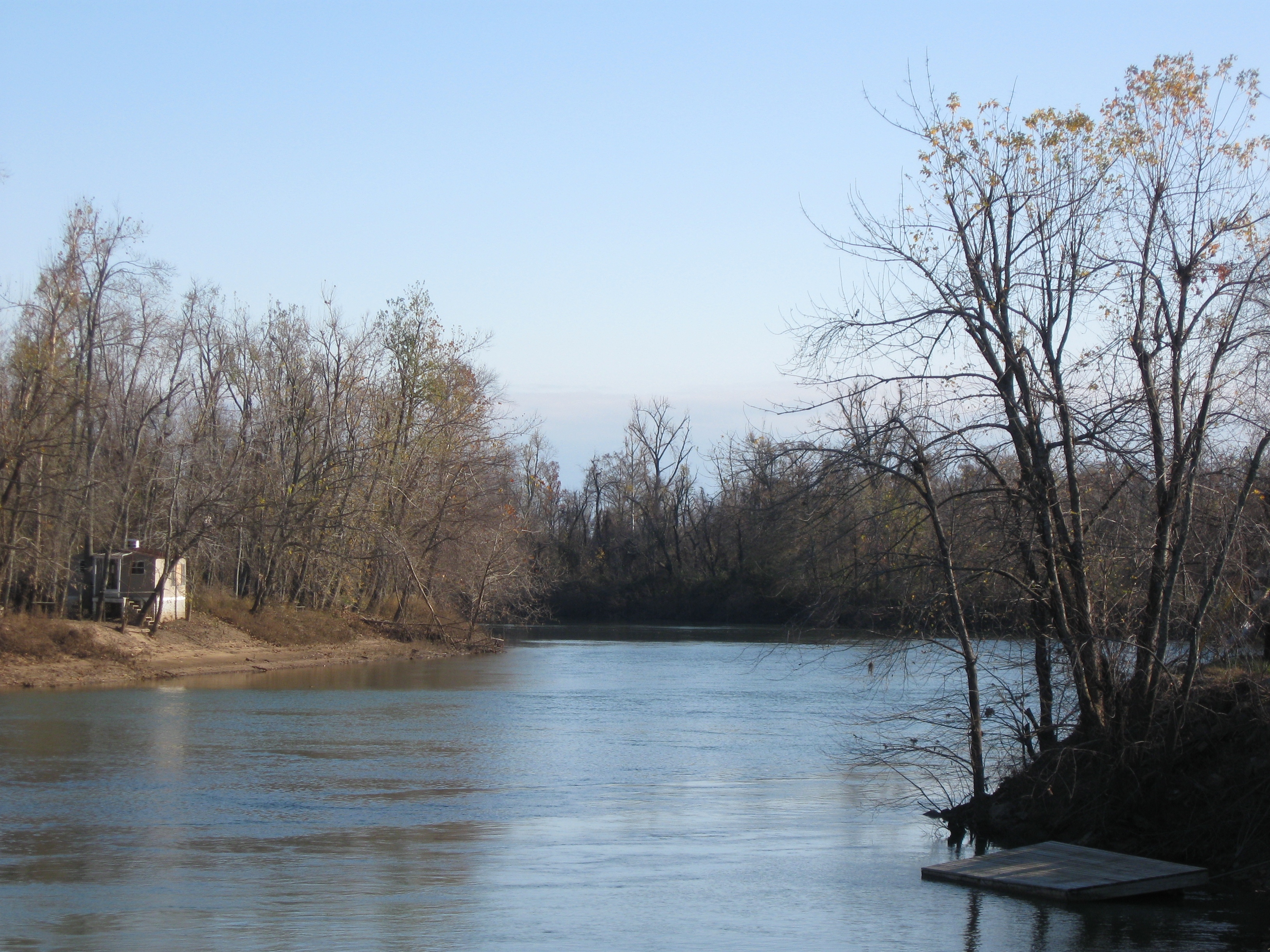
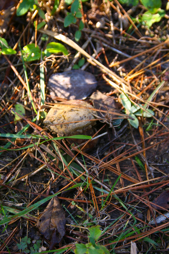
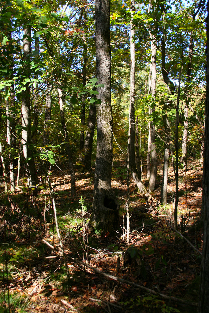
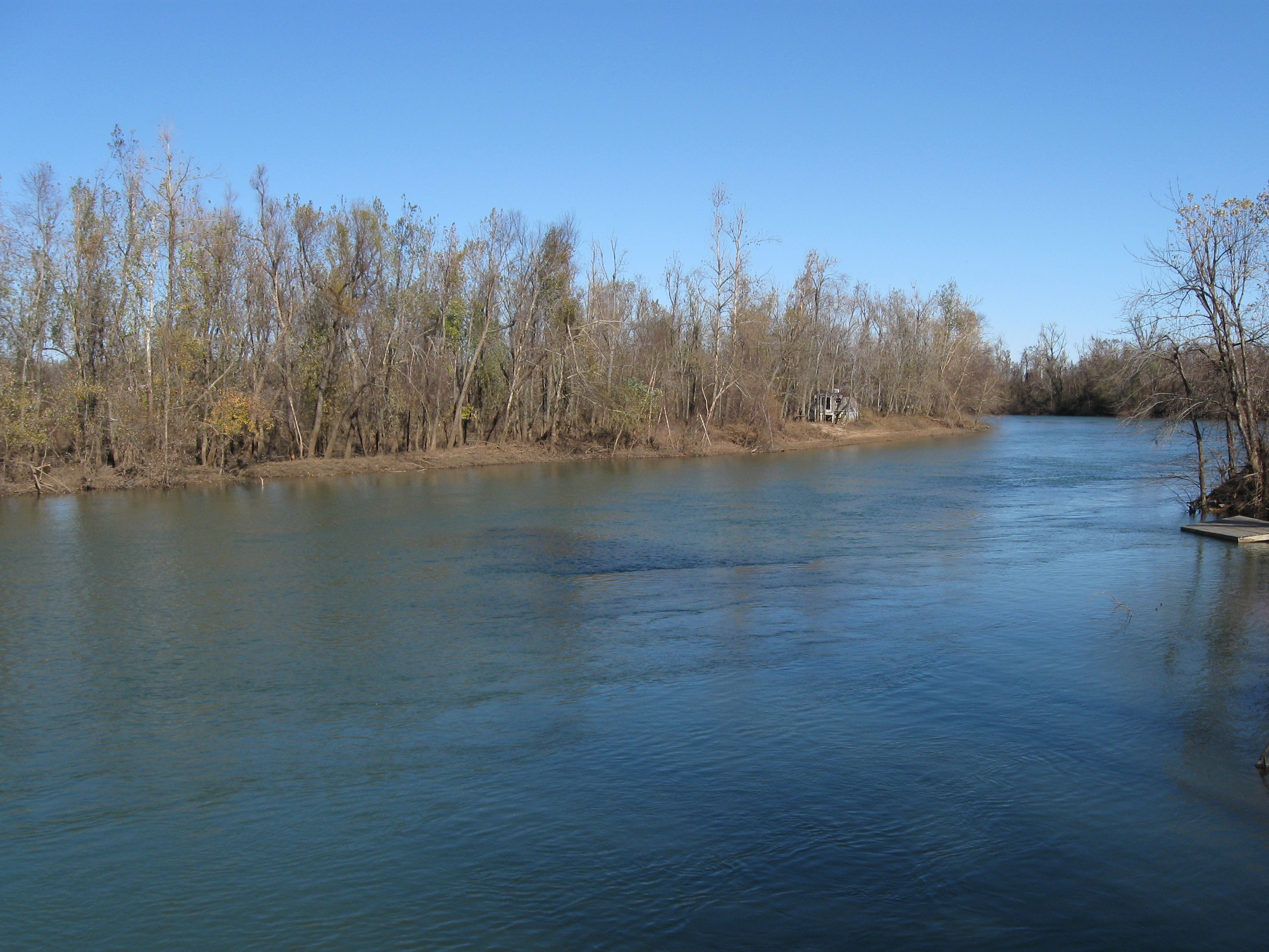
Related Photos:

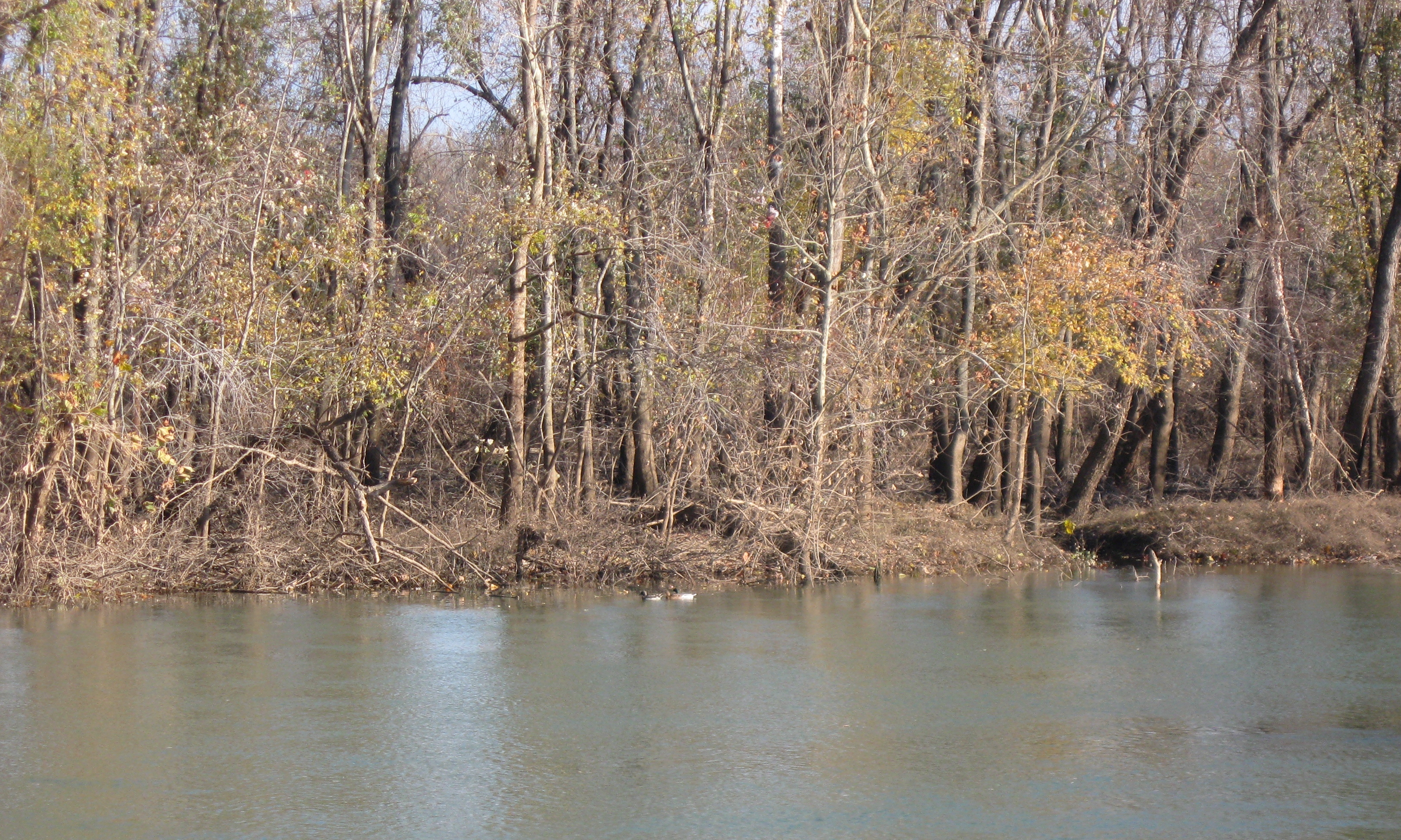
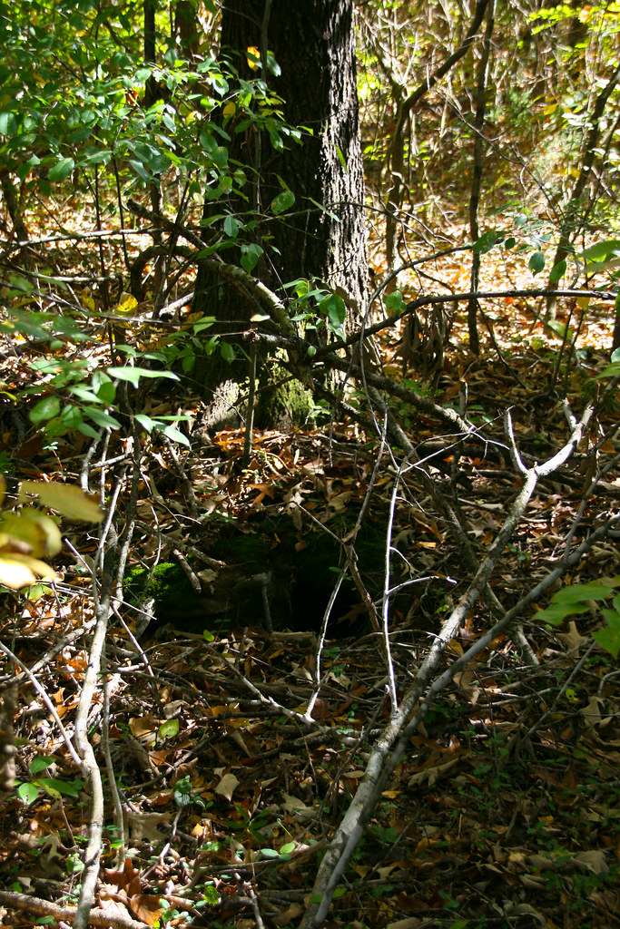
20081025_0416
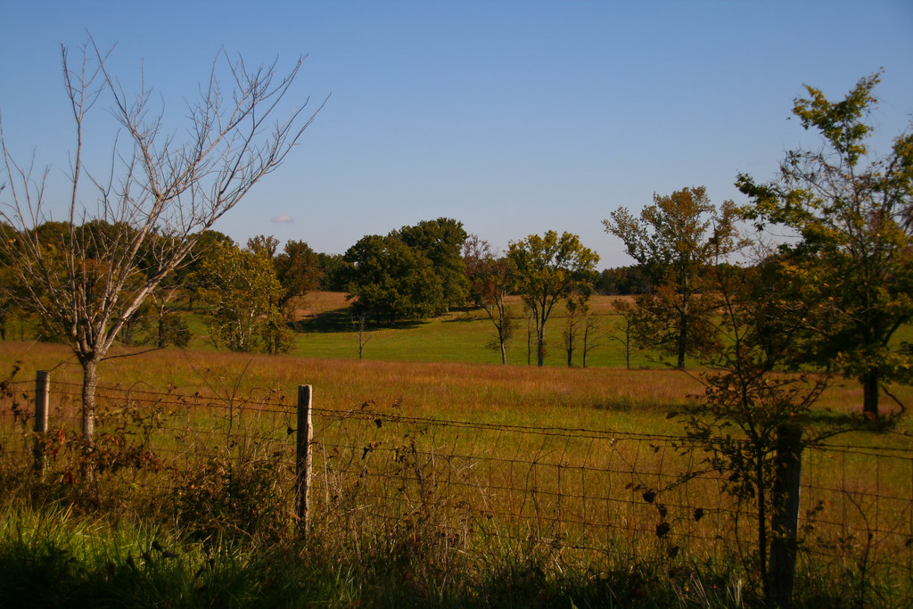
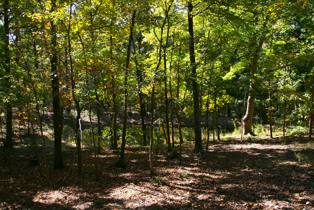
IMG_5068
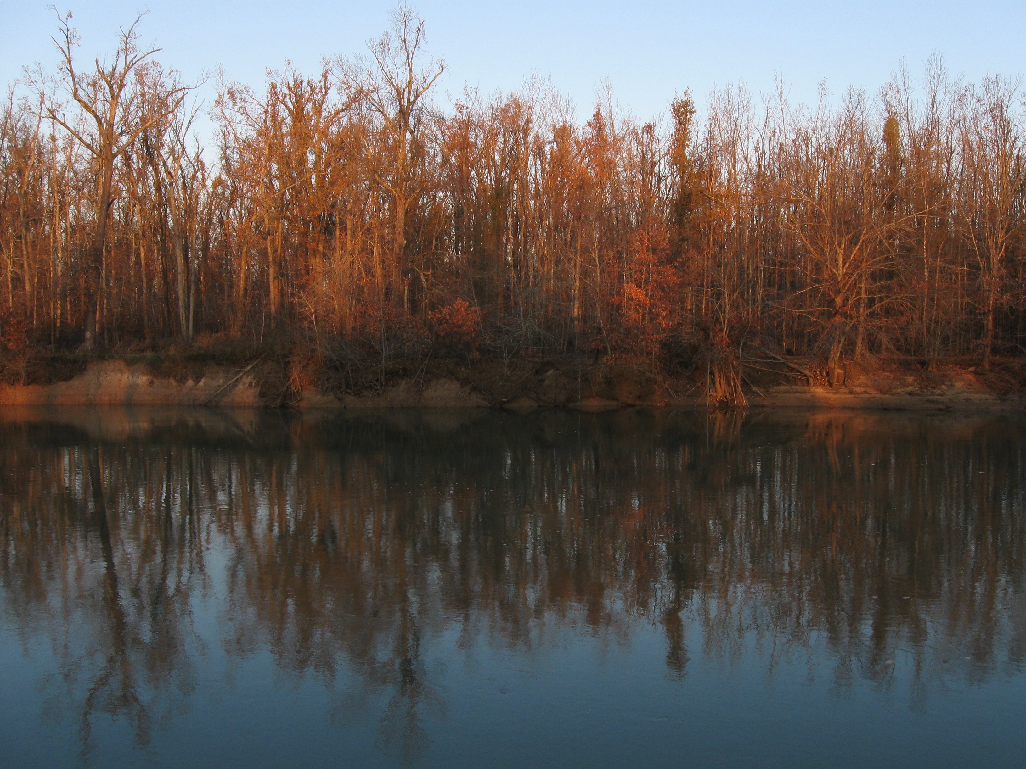
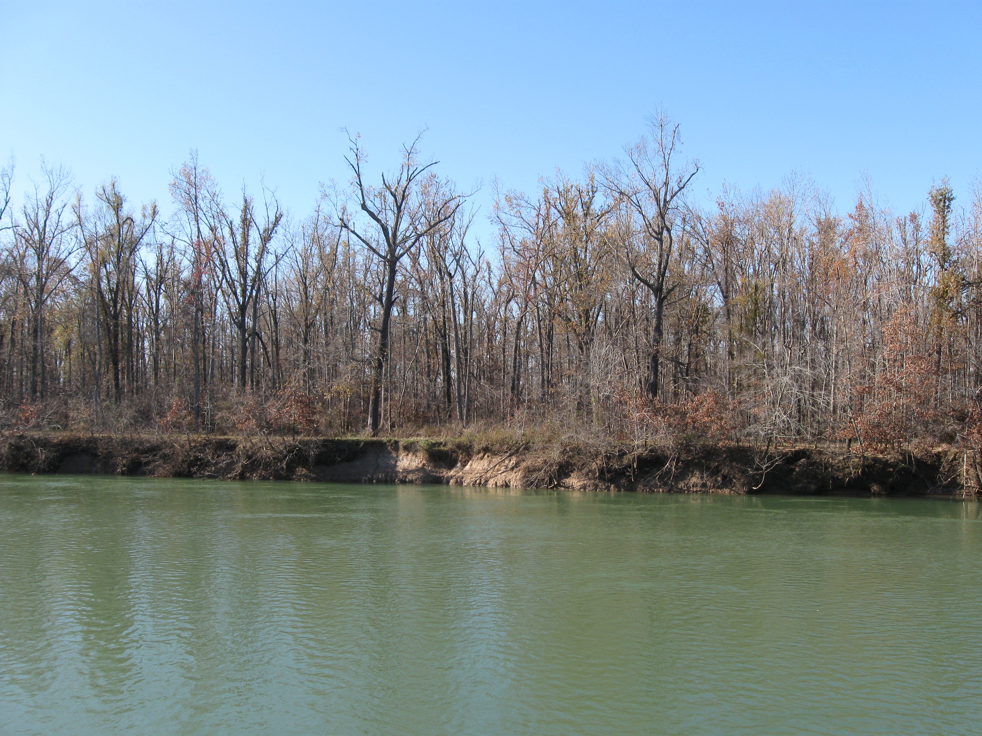
20081025_0309
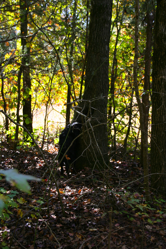
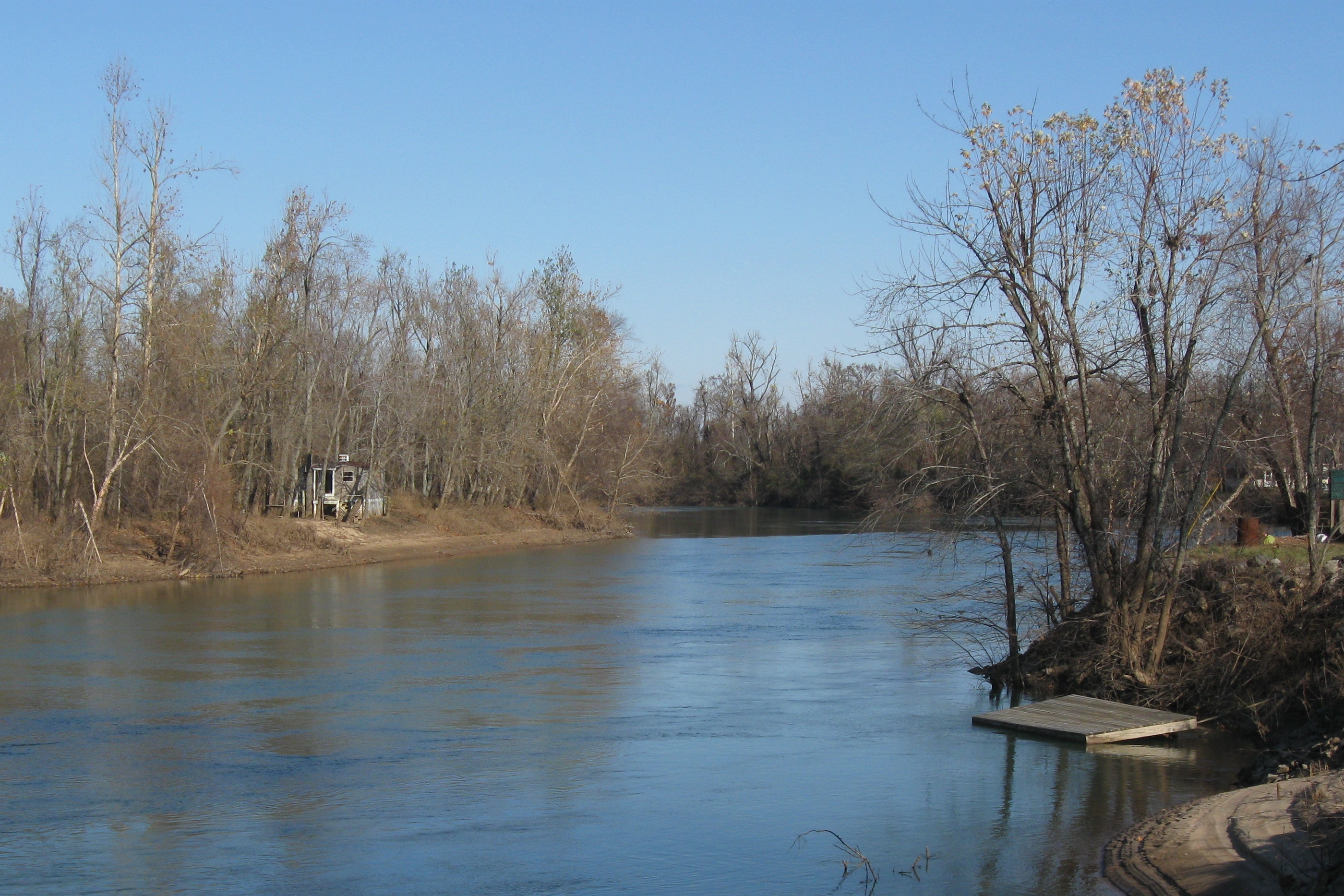
IMG_5065
20081025_0432

20081025_0397

IMG_5066
20081025_0439
20081025_0440

20081025_0393
20081025_0431
20081025_0445
20081025_0414
20081025_0446
IMG_5032
IMG_5081
IMG_5072
20081025_0270
20081025_0401
IMG_5031
20081025_0255
Topographic Map of Richardson Township, AR, USA
Find elevation by address:

Places in Richardson Township, AR, USA:
Places near Richardson Township, AR, USA:
AR-, Maynard, AR, USA
Maynard
Siloam Rd, Maynard, AR, USA
Columbia Township
AR-, Pocahontas, AR, USA
Siloam Township
Biggers-Reyno Rd, Biggers, AR, USA
Biggers
Warm Springs Rd, Warm Springs, AR, USA
1345 Palestine Rd
Current River Township
Ingram Township
Randolph County
Reyno Township
Reyno
Biggers-Reyno Rd, Reyno, AR, USA
State Hwy E, Doniphan, MO, USA
Demun
Brown-carpenter Township
Pocahontas
Recent Searches:
- Elevation of Corso Fratelli Cairoli, 35, Macerata MC, Italy
- Elevation of Tallevast Rd, Sarasota, FL, USA
- Elevation of 4th St E, Sonoma, CA, USA
- Elevation of Black Hollow Rd, Pennsdale, PA, USA
- Elevation of Oakland Ave, Williamsport, PA, USA
- Elevation of Pedrógão Grande, Portugal
- Elevation of Klee Dr, Martinsburg, WV, USA
- Elevation of Via Roma, Pieranica CR, Italy
- Elevation of Tavkvetili Mountain, Georgia
- Elevation of Hartfords Bluff Cir, Mt Pleasant, SC, USA