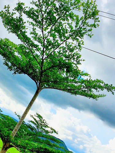
Elevation of Wao, Lanao del Sur, Philippines
Location: Philippines > Autonomous Region In Muslim Mindanao > Lanao Del Sur >
Longitude: 124.707766
Latitude: 7.6675967
Elevation: 647m / 2123feet
Barometric Pressure: 94KPa
Related Photos:
Topographic Map of Wao, Lanao del Sur, Philippines
Find elevation by address:

Places near Wao, Lanao del Sur, Philippines:
Maca-opao
Canituan
Kalilangan
Deped Pangantucan South District Office
Langcataon
Don Carlos
Mount Ragang
Alamada
Bukidnon - Wao Road
Lumagwas Diversified Farmers Multi-purpose Cooperative
Mount Piapayungan
Langcataon National High School
Pangantucan
Poblacion
Mapait
Bacusanon
Akir-akir Mountain
Lumba - Bayabao
Portulin
Portulin Elementary School
Recent Searches:
- Elevation of Corso Fratelli Cairoli, 35, Macerata MC, Italy
- Elevation of Tallevast Rd, Sarasota, FL, USA
- Elevation of 4th St E, Sonoma, CA, USA
- Elevation of Black Hollow Rd, Pennsdale, PA, USA
- Elevation of Oakland Ave, Williamsport, PA, USA
- Elevation of Pedrógão Grande, Portugal
- Elevation of Klee Dr, Martinsburg, WV, USA
- Elevation of Via Roma, Pieranica CR, Italy
- Elevation of Tavkvetili Mountain, Georgia
- Elevation of Hartfords Bluff Cir, Mt Pleasant, SC, USA

