Elevation map of Autonomous Region in Muslim Mindanao, Philippines
Location: Philippines >
Longitude: 124.242159
Latitude: 6.9568313
Elevation: 503m / 1650feet
Barometric Pressure: 95KPa
Elevation Map:
Satellite Map:
Related Photos:

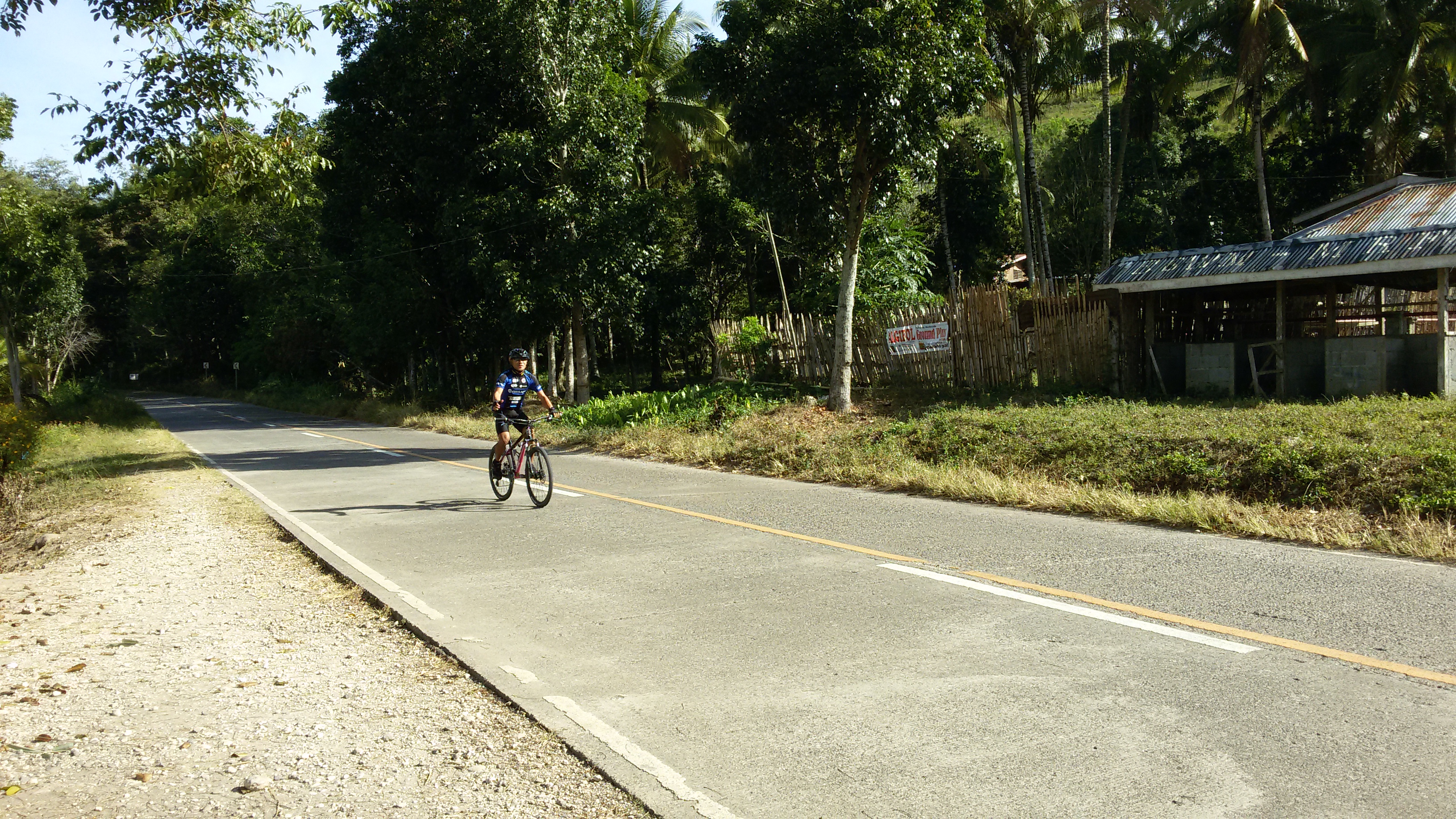
Approaching Kibleg Proper
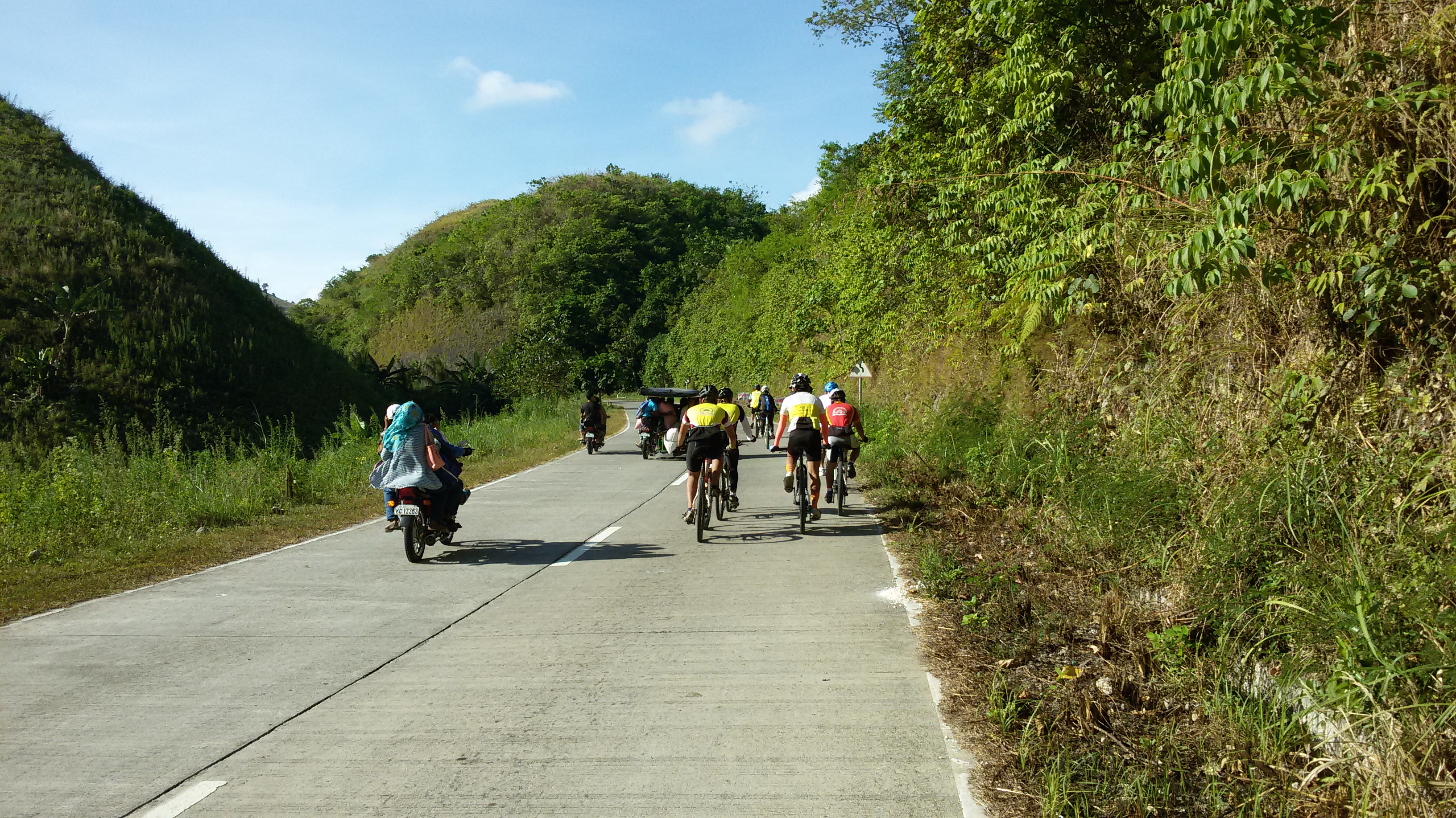
At Kibleg - Pushing the tempo
At Kibleg

Maid of Honor
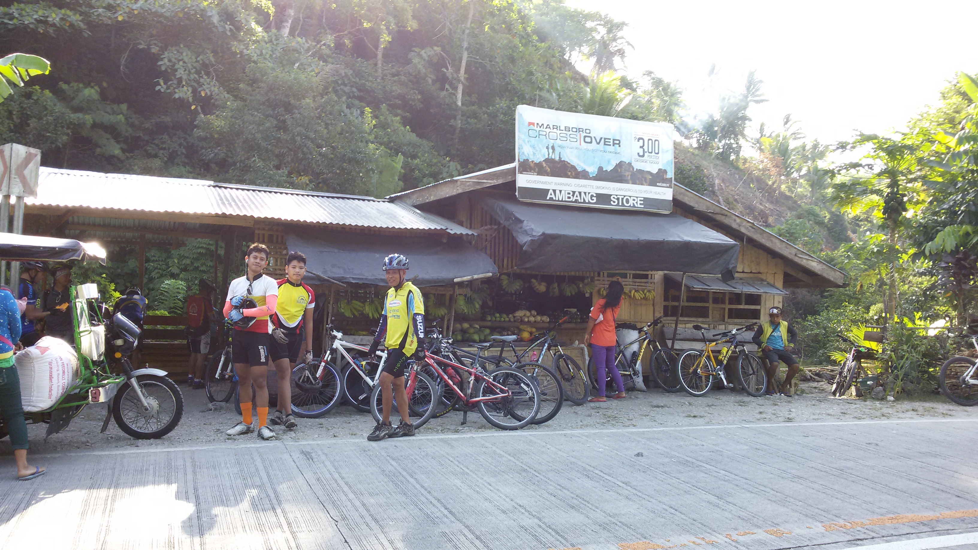
Gulayan Eat Stop-over
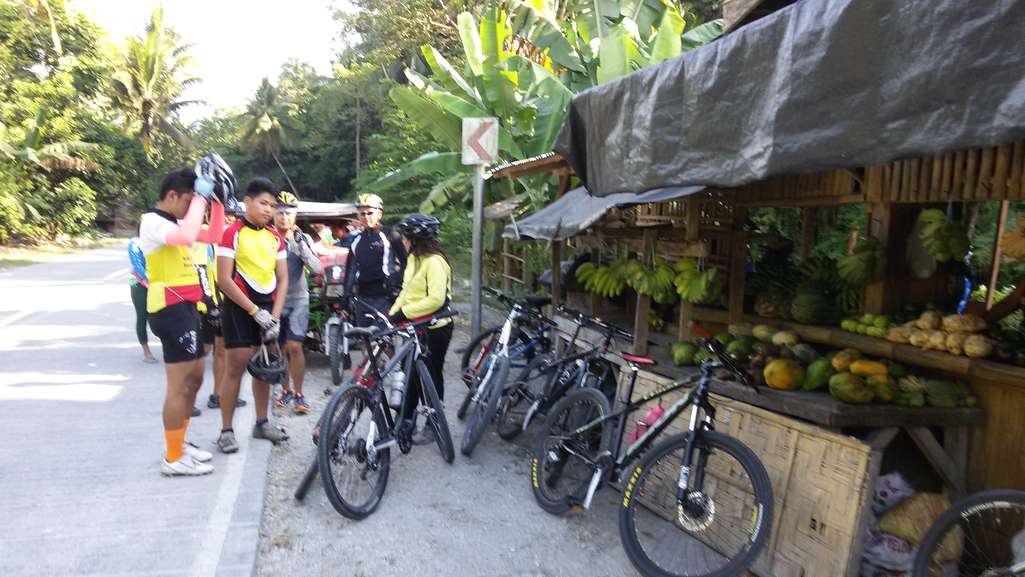
Gulayan Eat Stop-over
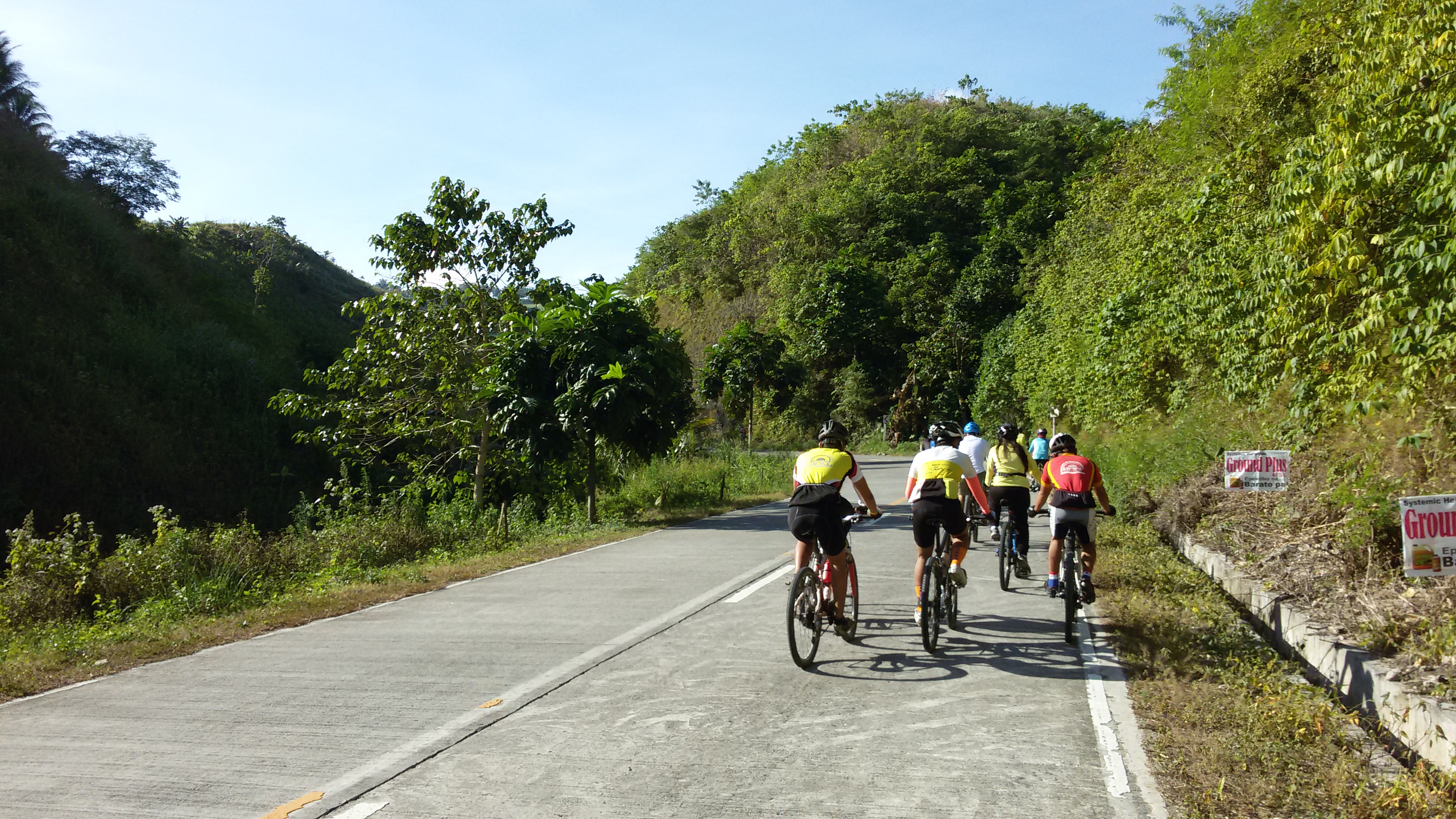
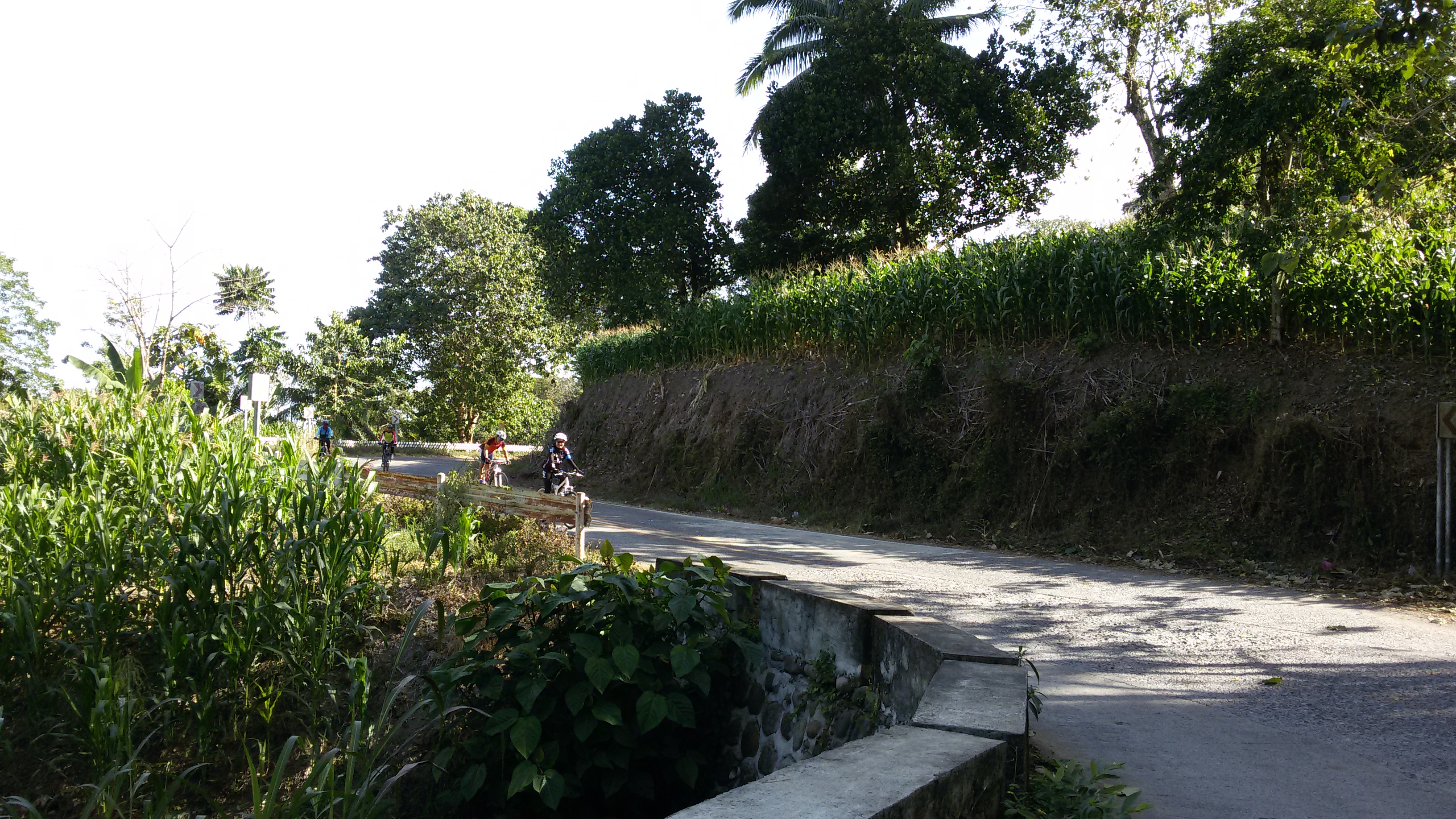
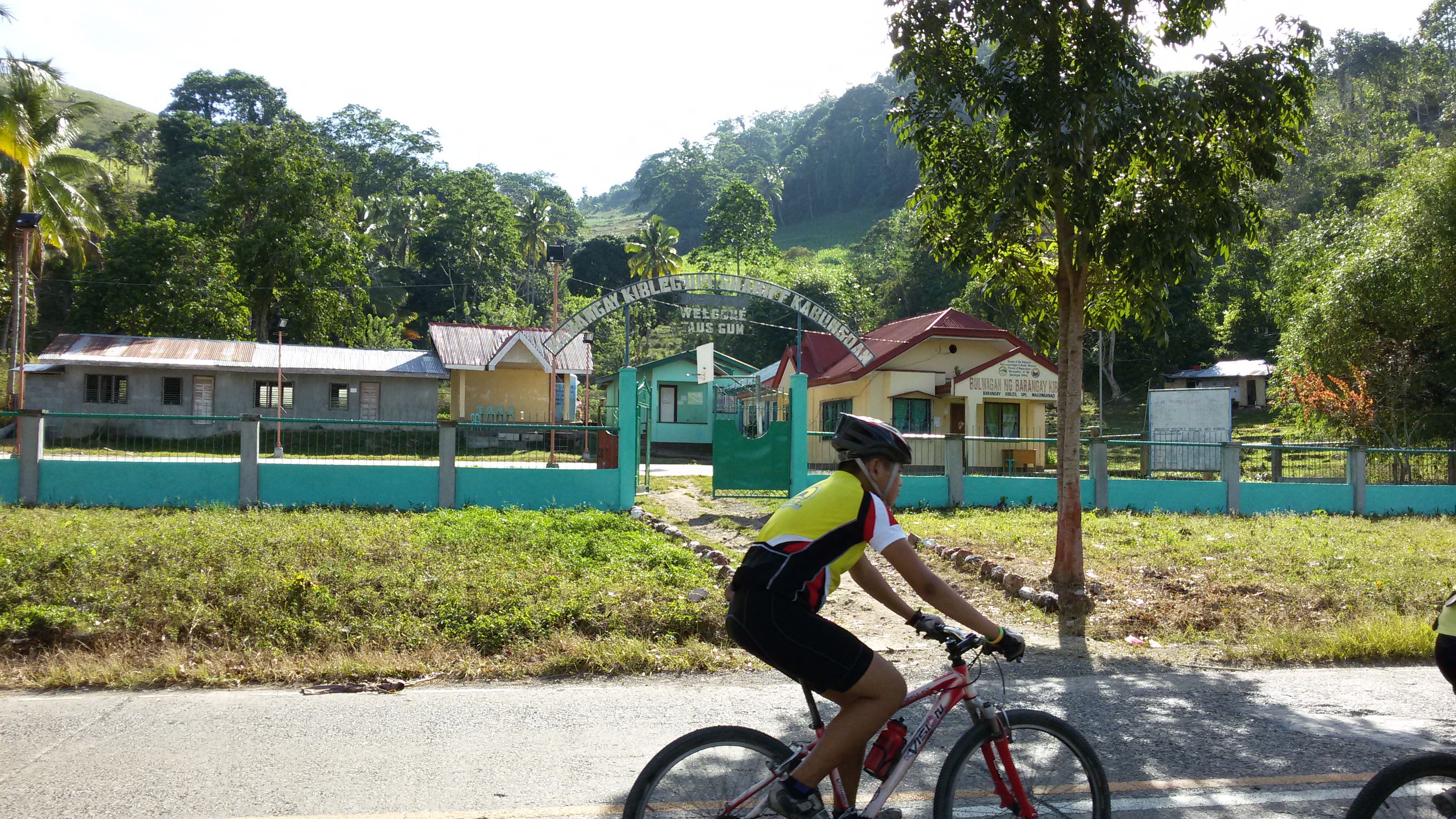
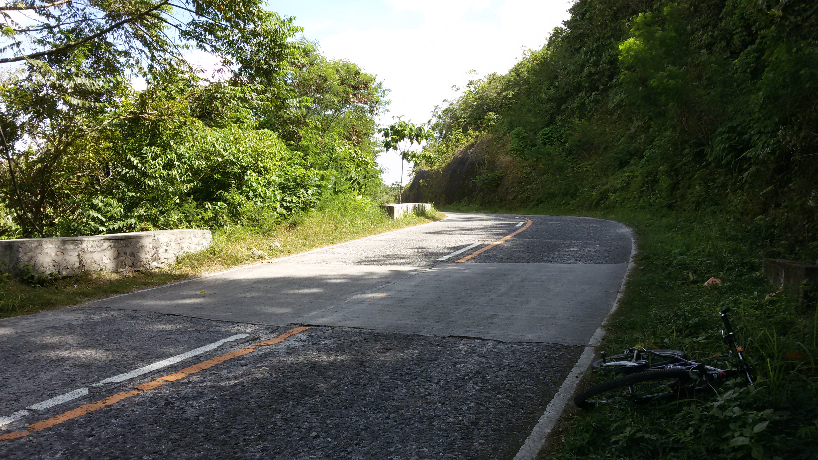
Kibleg Boundary
Kibleg Boundary
At Kibleg
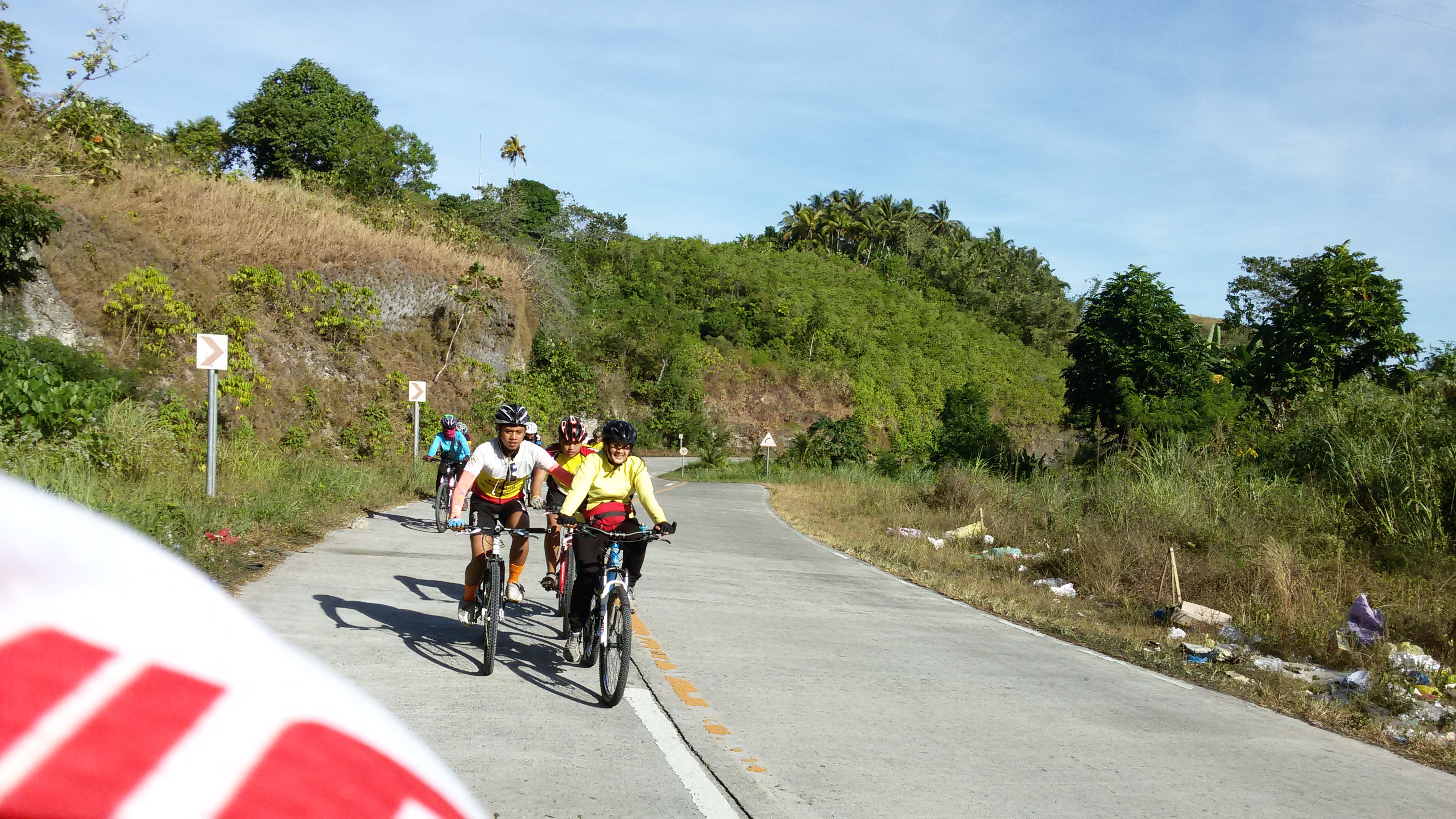
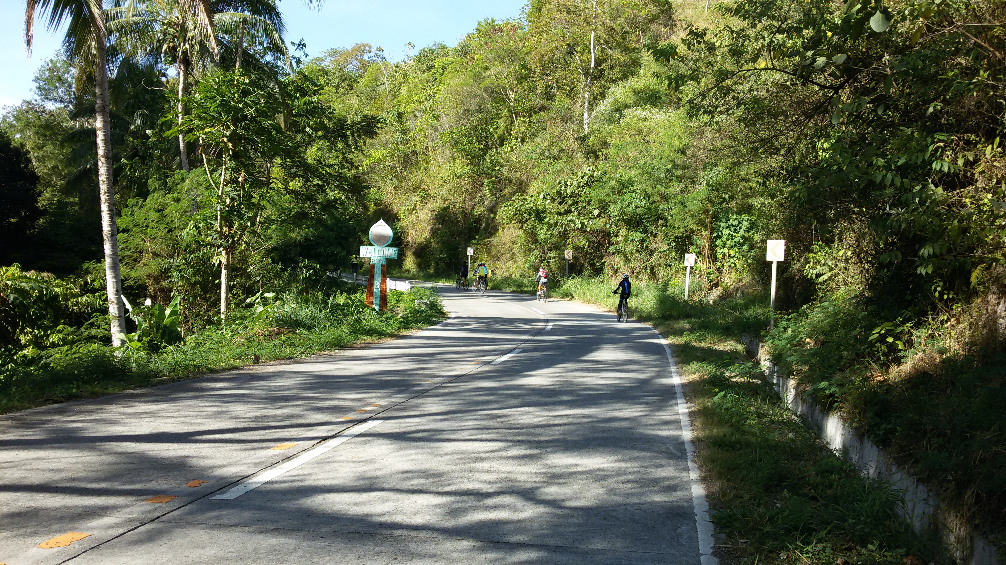
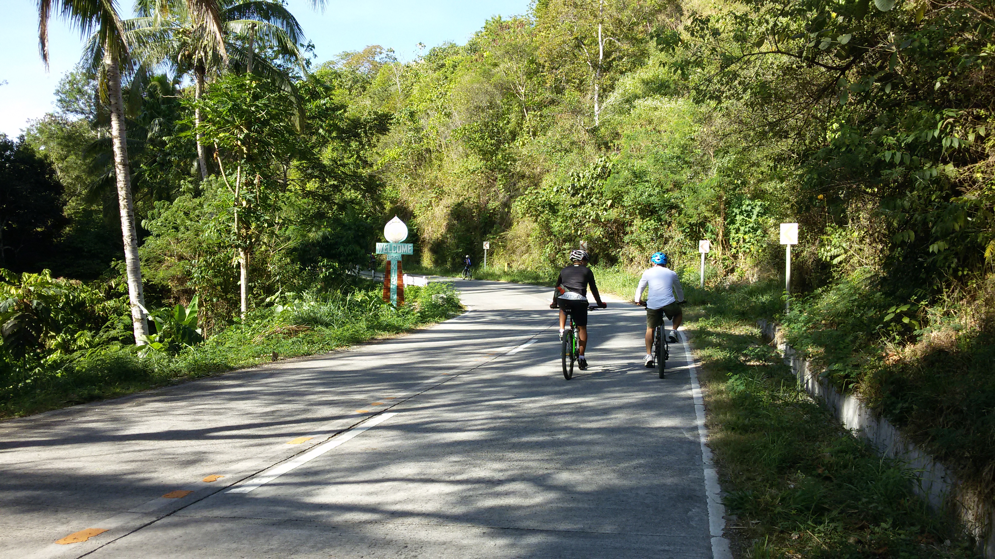
Approaching Kibleg Proper
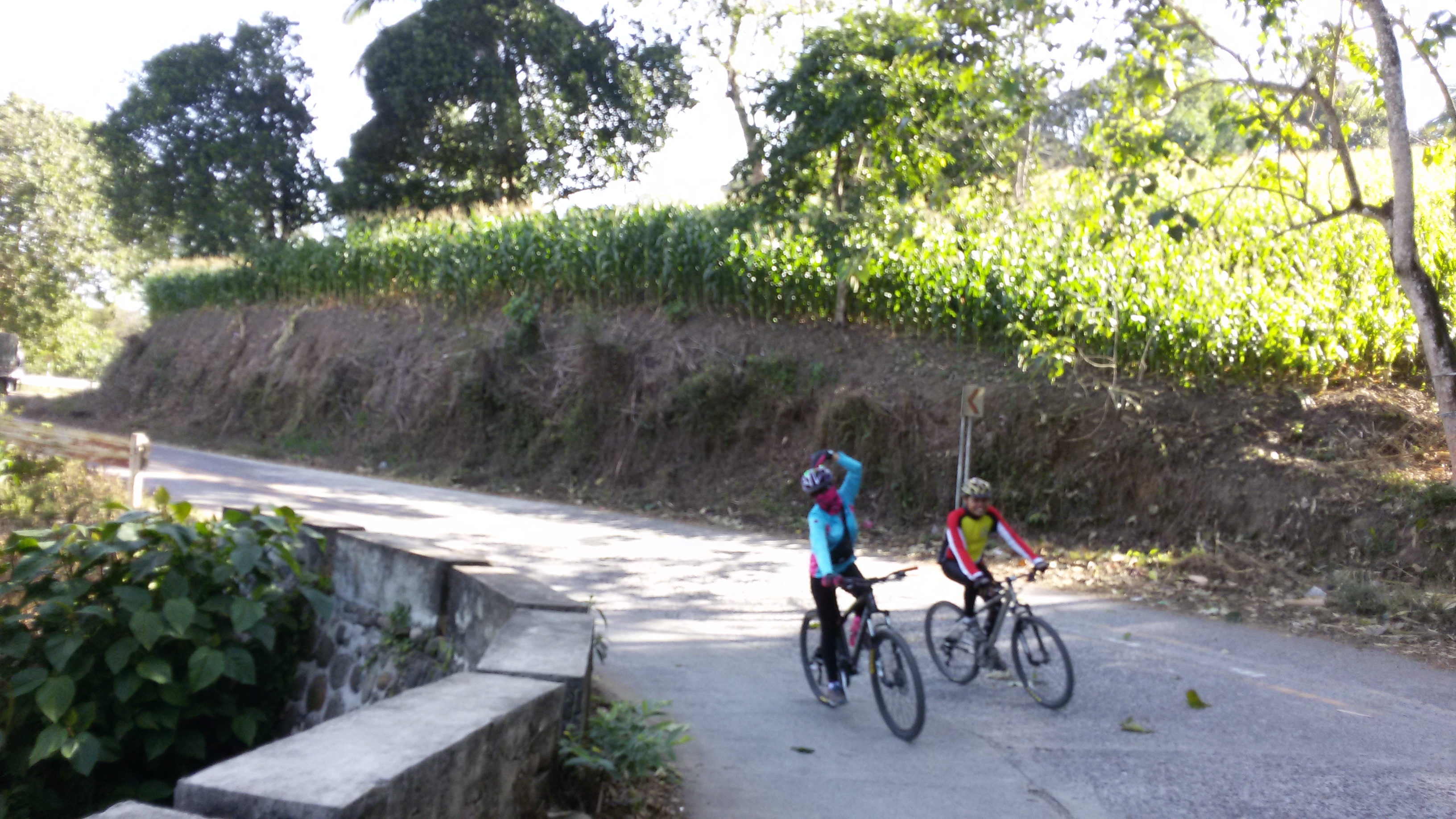
Approaching Kibleg Proper
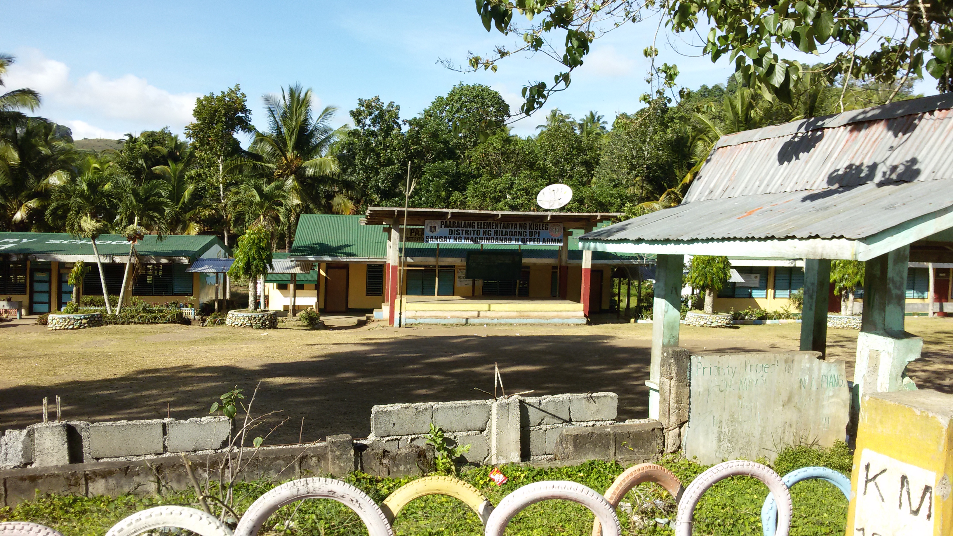
Kibleg Elementary School
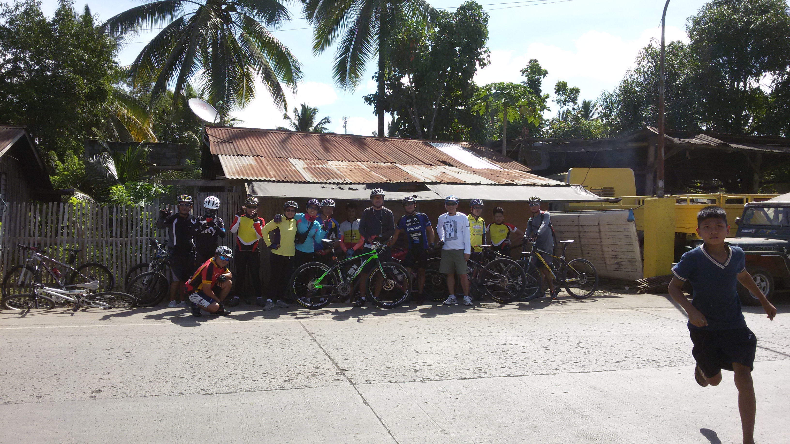
At Barangay Hall of Kibleg

At Nuro Upi
At Nuro Upi
Going to Cotabato

Vulcanizing 101
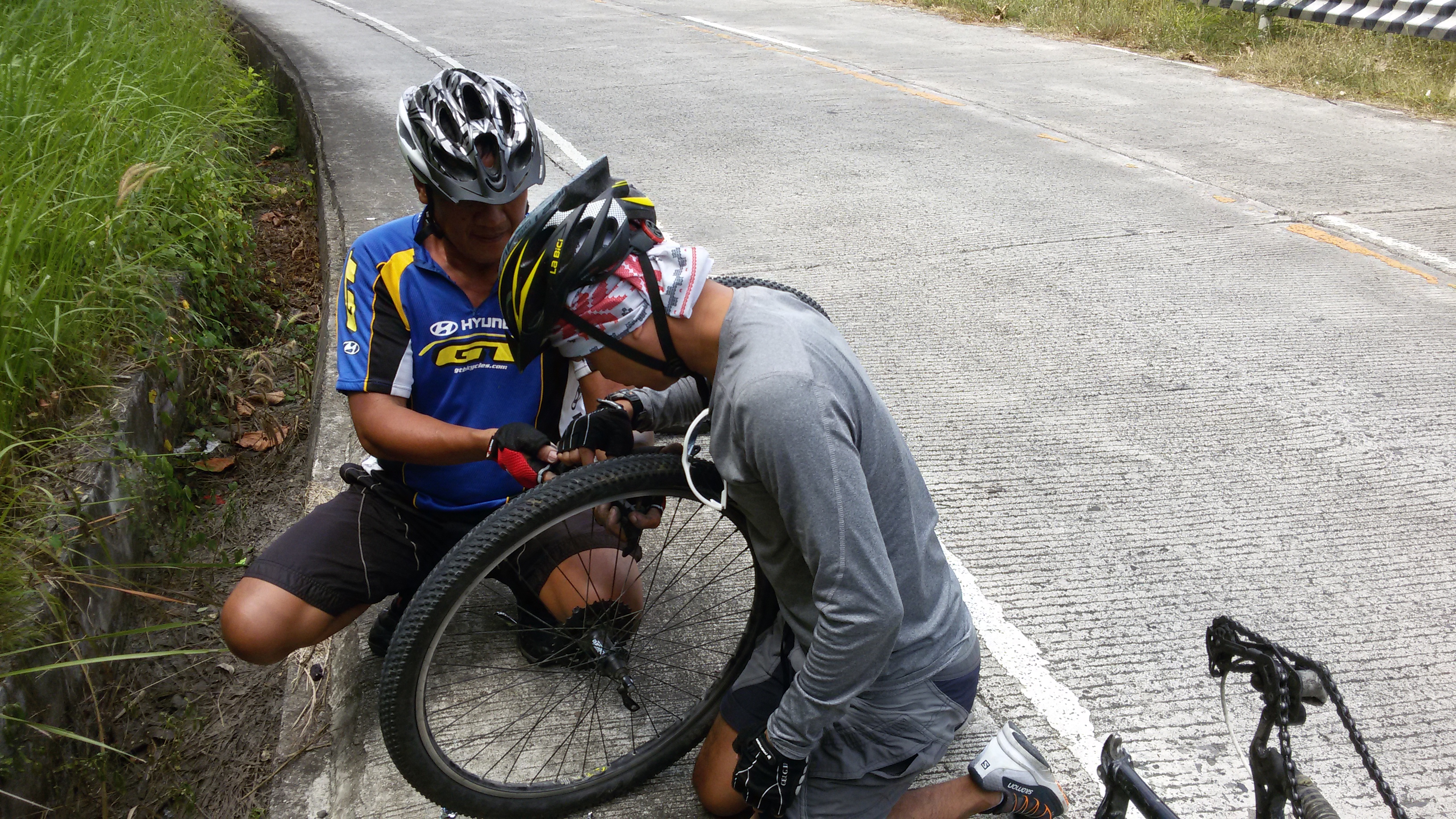
Vulcanizing 101
At Barangay Hall of Kibleg

Upi Agricultural Hospital
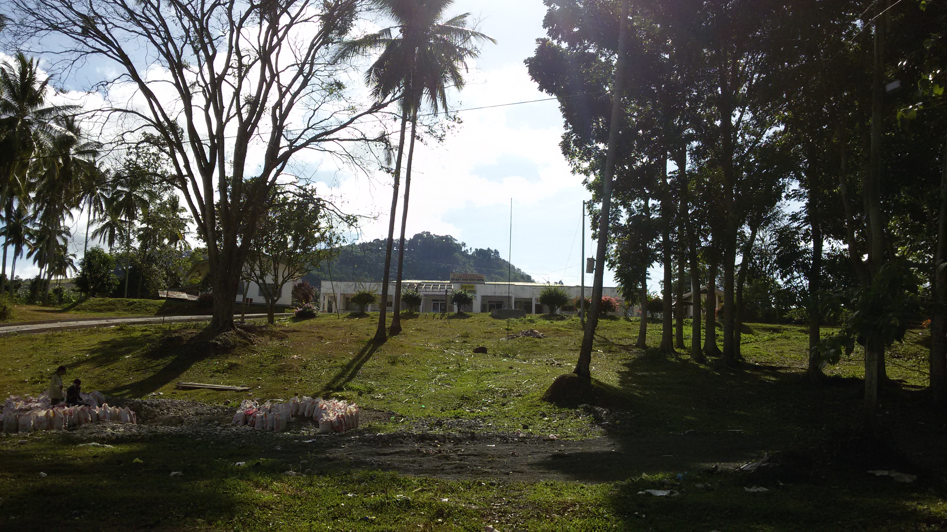
Datu Blah Sinsuat District Hospital
Topographic Map of Autonomous Region in Muslim Mindanao, Philippines
Find elevation by address:

Places in Autonomous Region in Muslim Mindanao, Philippines:
Places near Autonomous Region in Muslim Mindanao, Philippines:
Talayan
Maguindanao
Poblacion
Flying-v Gasoline Station
Brgy. Hall Saliao
Esperanza
Sultan Kudarat
Bagumbayan
Mangudadatu
M'lang
Barangay Caloocan
Koronadal City
Lake Sebu
Banga
Surallah
Region Xii
South Cotabato
Makilala
Sinsuat Street
Saguing
Recent Searches:
- Elevation of Corso Fratelli Cairoli, 35, Macerata MC, Italy
- Elevation of Tallevast Rd, Sarasota, FL, USA
- Elevation of 4th St E, Sonoma, CA, USA
- Elevation of Black Hollow Rd, Pennsdale, PA, USA
- Elevation of Oakland Ave, Williamsport, PA, USA
- Elevation of Pedrógão Grande, Portugal
- Elevation of Klee Dr, Martinsburg, WV, USA
- Elevation of Via Roma, Pieranica CR, Italy
- Elevation of Tavkvetili Mountain, Georgia
- Elevation of Hartfords Bluff Cir, Mt Pleasant, SC, USA