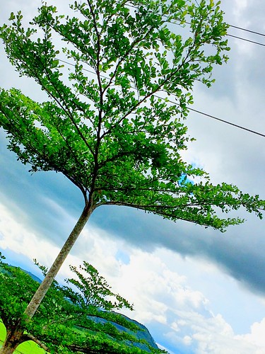
Elevation of Langcataon, Pangantucan, Bukidnon, Philippines
Location: Philippines > Northern Mindanao > Bukidnon > Pangantucan >
Longitude: 124.856898
Latitude: 7.6401447
Elevation: 345m / 1132feet
Barometric Pressure: 97KPa
Related Photos:
Topographic Map of Langcataon, Pangantucan, Bukidnon, Philippines
Find elevation by address:

Places near Langcataon, Pangantucan, Bukidnon, Philippines:
Deped Pangantucan South District Office
Don Carlos
Maca-opao
Wao
Lumagwas Diversified Farmers Multi-purpose Cooperative
Dangcagan
Kalilangan
Canituan
Langcataon National High School
Maramag
Maramag
Bukidnon - Wao Road
Pangantucan
North Poblacion
Poblacion
Damulog
Sayre Highway
Sayre Highway
Kitaotao
Mapait
Recent Searches:
- Elevation of Corso Fratelli Cairoli, 35, Macerata MC, Italy
- Elevation of Tallevast Rd, Sarasota, FL, USA
- Elevation of 4th St E, Sonoma, CA, USA
- Elevation of Black Hollow Rd, Pennsdale, PA, USA
- Elevation of Oakland Ave, Williamsport, PA, USA
- Elevation of Pedrógão Grande, Portugal
- Elevation of Klee Dr, Martinsburg, WV, USA
- Elevation of Via Roma, Pieranica CR, Italy
- Elevation of Tavkvetili Mountain, Georgia
- Elevation of Hartfords Bluff Cir, Mt Pleasant, SC, USA


