Elevation of Wannacut Lake, Washington, USA
Location: United States > Washington > Okanogan County > Tonasket >
Longitude: -119.51900
Latitude: 48.884036
Elevation: 565m / 1854feet
Barometric Pressure: 95KPa
Elevation Map:
Satellite Map:
Related Photos:
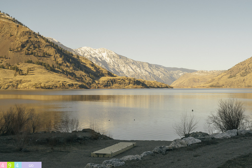
Sunset, Haynes Point
Tilt Toy Houses
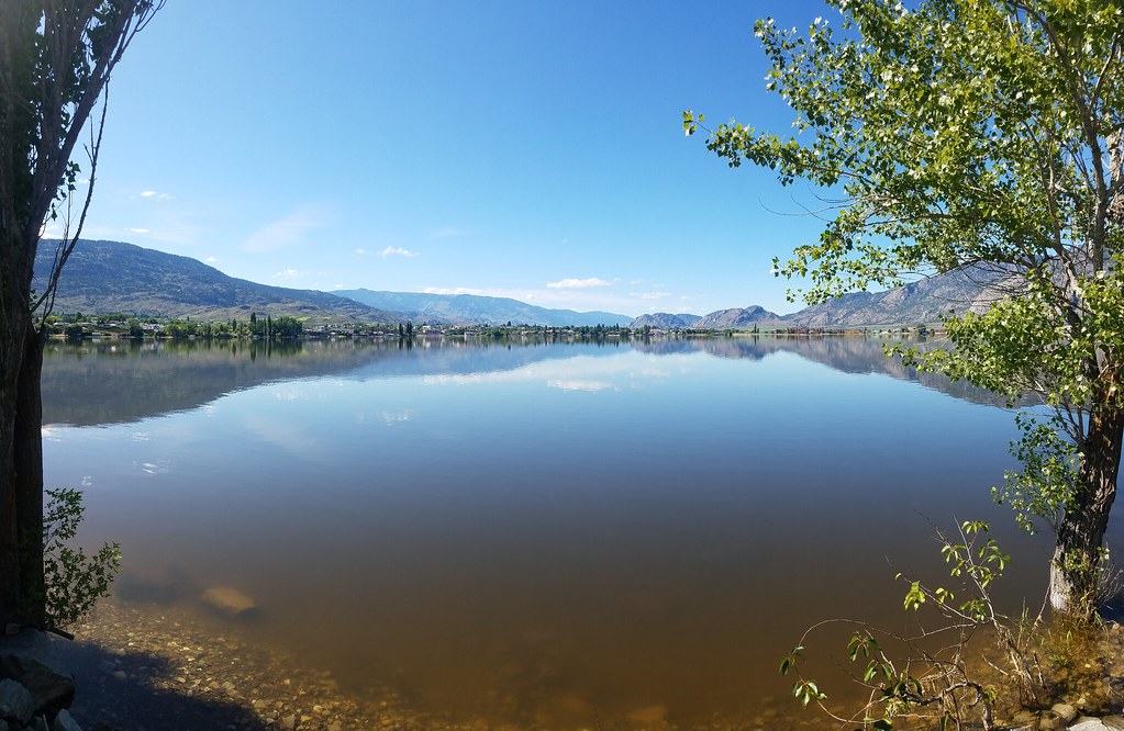
View from my lunchspot today...
Side view
Side view

View from my lunchspot today...
View from my lunchspot today...
View from my lunchspot today...
South Okanagan grassland
Pano Loop
Early morning view (north)
View from my Sleeping Bag
Early morning view (south)
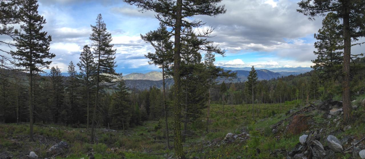
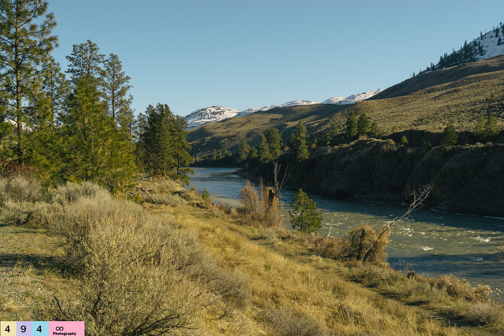
View east over the Sinlahekin and Okanogan River Valleys from the Loomis State Forest
The View from Here
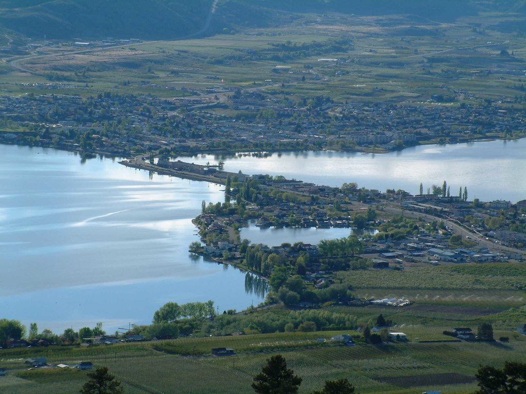
view from anarchist mtn

Burger 55 Visit: A view of the kitchen
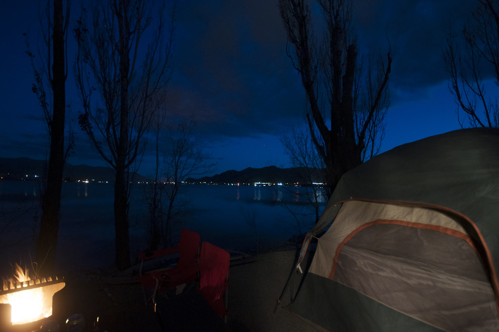
Haynes Point

Ruby Mine

Hidden Harmonic Intentions
Serene Beginnings
North Cascades NP/Osoyoos, BC/Coulee Dam - May 25-28, 2018

The Pacific Northwest Trail wraps around Palmer Lake near Nighthawk, Washington
Haynes Point, Osoyoos
#palmerlake #washington #northwest
Optimistic Enchantments
Nature In Marco Vision
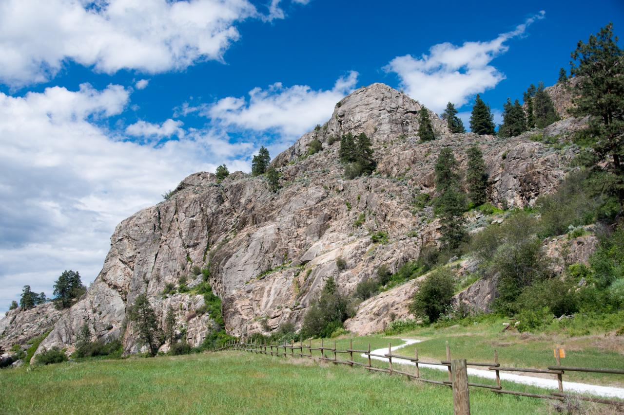
The Pacific Northwest Trail climbs up the rocky face of Whistler Canyon
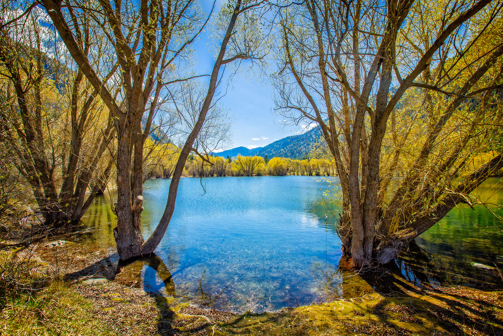
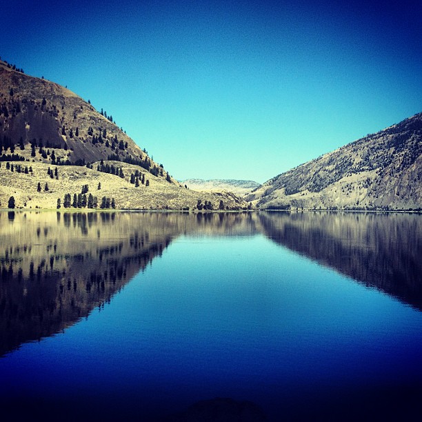
Palmer Lake
Out of the Mist
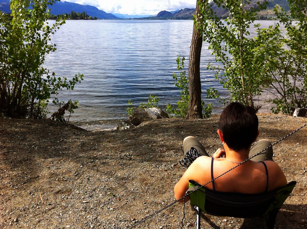
View from my lunchspot today...

Well Deserved Moments

Just in time
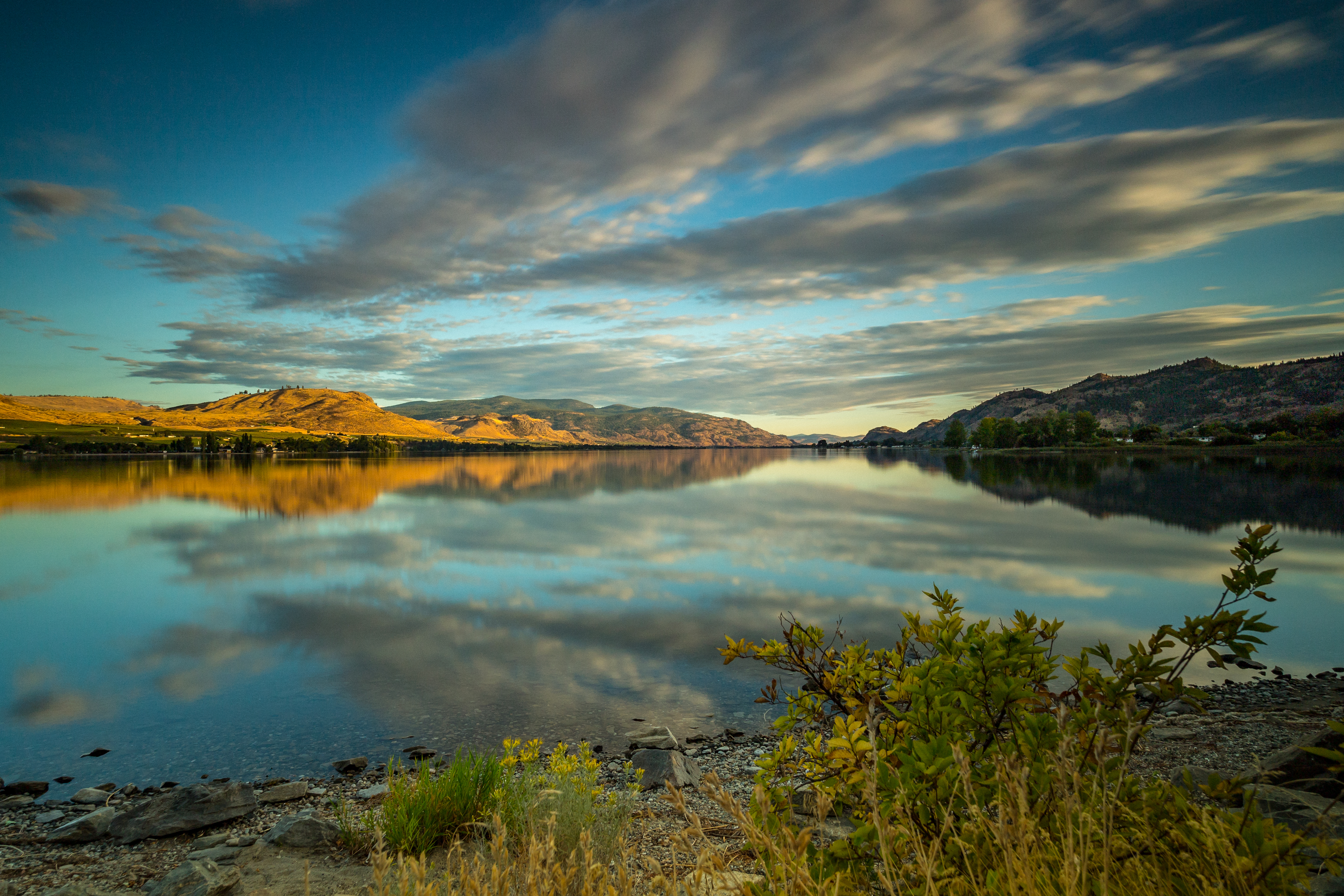
evening on Osoyoos lake
Perfected Notions
Evening at Kilpoola Lake

Calmness Supreme
Topographic Map of Wannacut Lake, Washington, USA
Find elevation by address:

Places near Wannacut Lake, Washington, USA:
East Wannacut Lane
Wannacut Lake Road
Similkameen River
19 Gavin Rd
19 Gavin Rd
1105 Apple Way Ave
Oroville
4006 Fairwinds Dr
299 Eastlake Rd
2032 Lakeshore Dr
6456 Bc-97
Osoyoos Lake
Osoyoos
Chardonnay Court
Main Street
5701 Jackpine Ln
West Corral Road
Chapman Road
313 Mule Deer Dr
181 Longview Rd
Recent Searches:
- Elevation of Corso Fratelli Cairoli, 35, Macerata MC, Italy
- Elevation of Tallevast Rd, Sarasota, FL, USA
- Elevation of 4th St E, Sonoma, CA, USA
- Elevation of Black Hollow Rd, Pennsdale, PA, USA
- Elevation of Oakland Ave, Williamsport, PA, USA
- Elevation of Pedrógão Grande, Portugal
- Elevation of Klee Dr, Martinsburg, WV, USA
- Elevation of Via Roma, Pieranica CR, Italy
- Elevation of Tavkvetili Mountain, Georgia
- Elevation of Hartfords Bluff Cir, Mt Pleasant, SC, USA