Elevation of Wannacut Lake Road, Wannacut Lake Rd, Washington, USA
Location: United States > Washington > Okanogan County > Oroville >
Longitude: -119.52209
Latitude: 48.8712297
Elevation: 583m / 1913feet
Barometric Pressure: 95KPa
Elevation Map:
Satellite Map:
Related Photos:
Tilt Toy Houses
Pano Loop
View east over the Sinlahekin and Okanogan River Valleys from the Loomis State Forest
View from my lunchspot today...
Side view

Burger 55 Visit: A view of the kitchen

Ruby Mine
Perfected Notions

Hidden Harmonic Intentions

The Pacific Northwest Trail wraps around Palmer Lake near Nighthawk, Washington
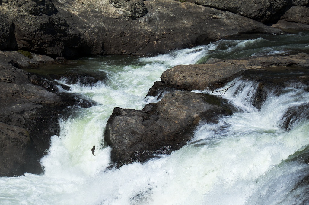
salmon at Enloe Dam
Clouds and sun over the Sinlahekin River Valley near Nighthawk
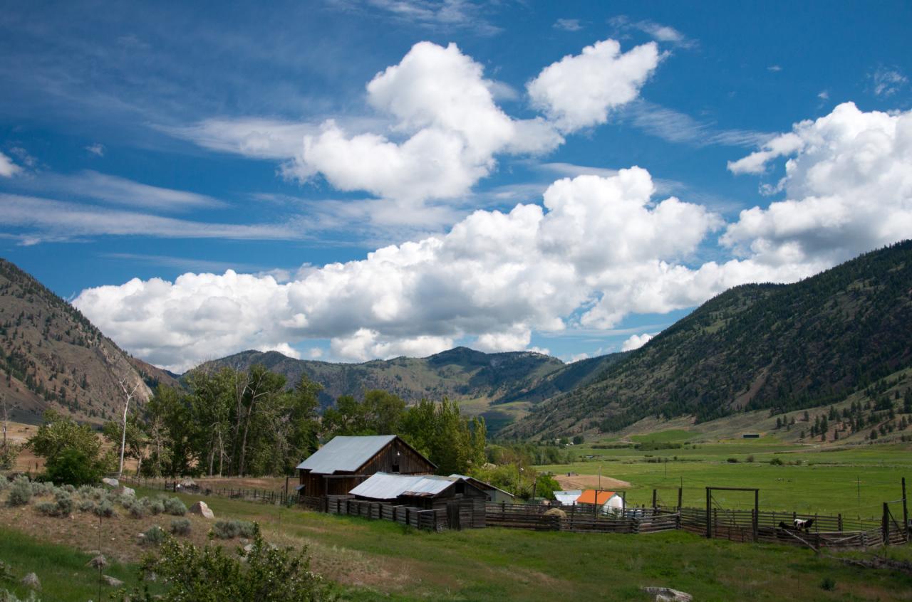
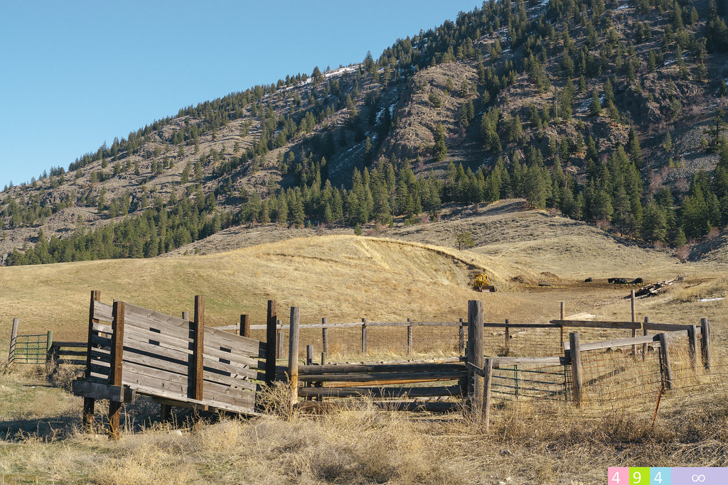
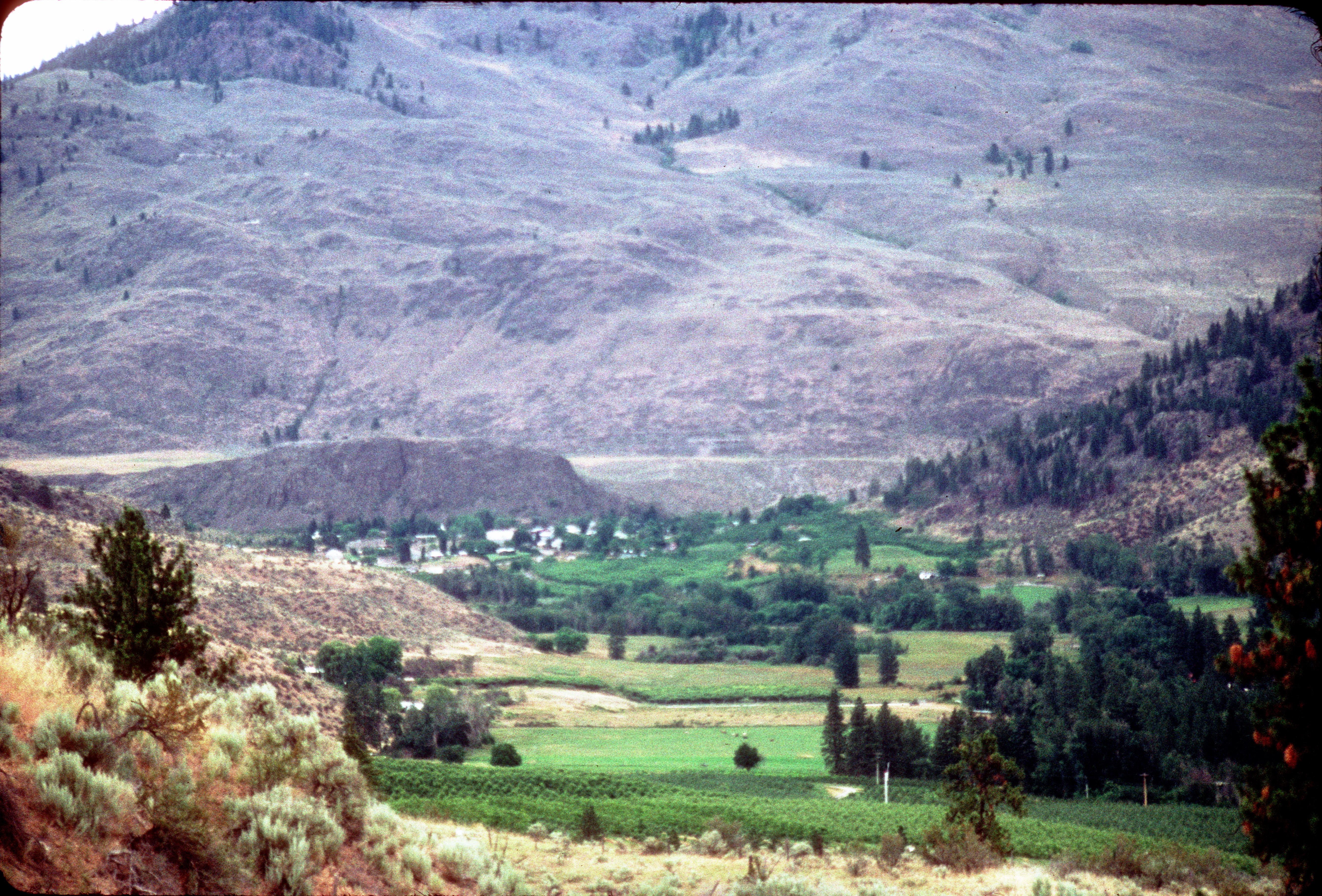
The Pacific Northwest Trail passes an old farm in the Sinlahekin River Valley

Calmness Supreme

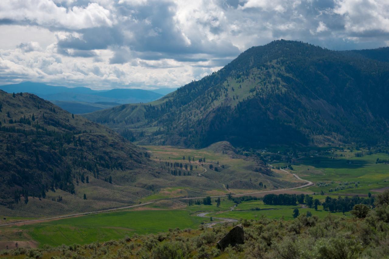
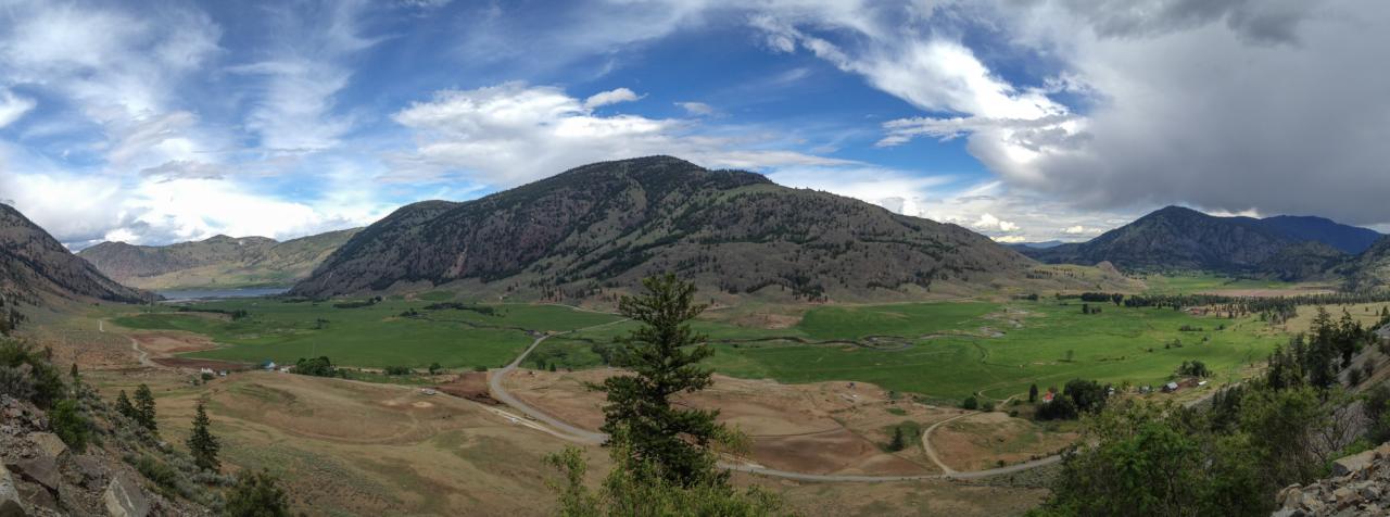
Looking down the Sinlahekin River Valley from the road up to the Loomis State Forest
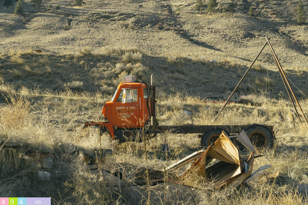
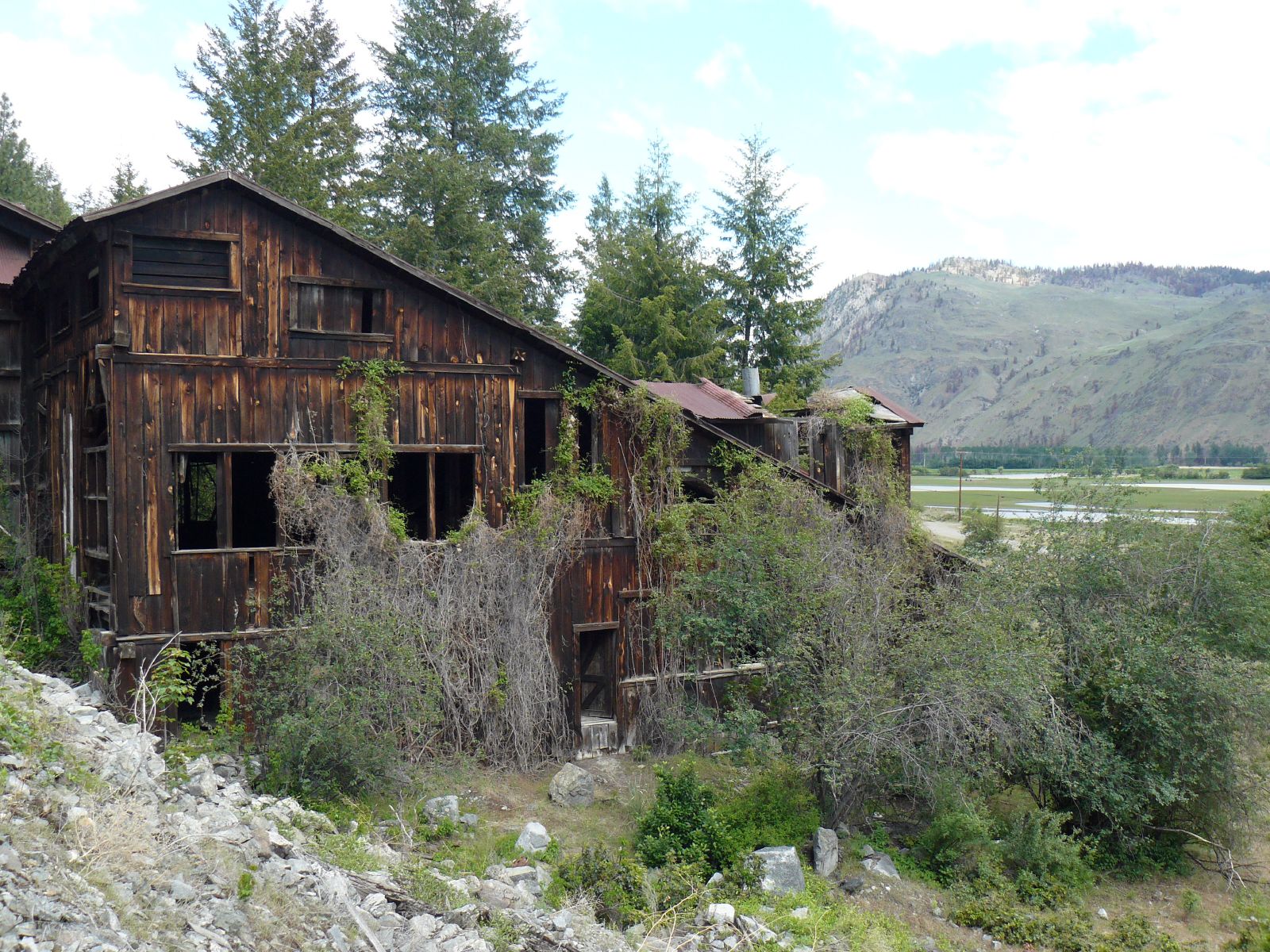
Powerhouse's Skeletal Remains

Osoyoos Sunset
Lasting Impressions
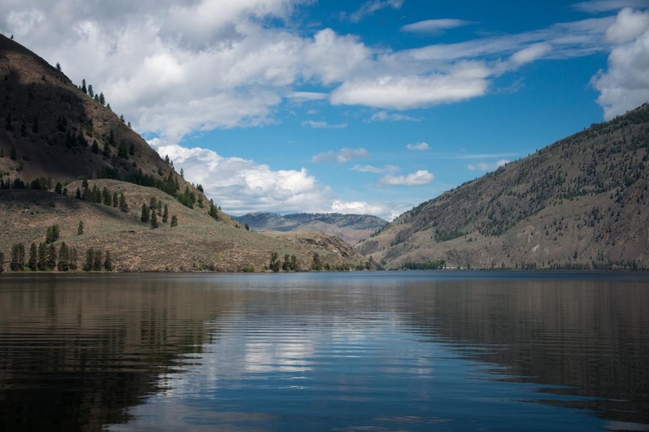
Peaceful waters of Palmer Lake, near Nighthawk, Washington
Looking up the Sinlahekin River Valley towards Palmer Lake from the Pacific Northwest Trail as it ascends into the Loomis State Forest
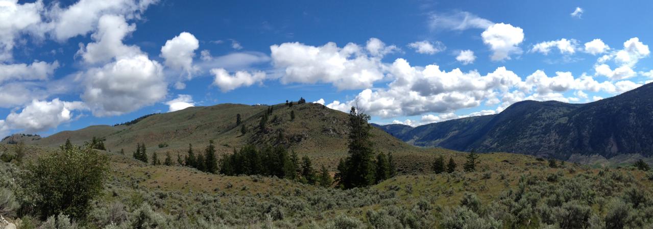
Classic Eastern Washington landscape near Nighthawk, Washington
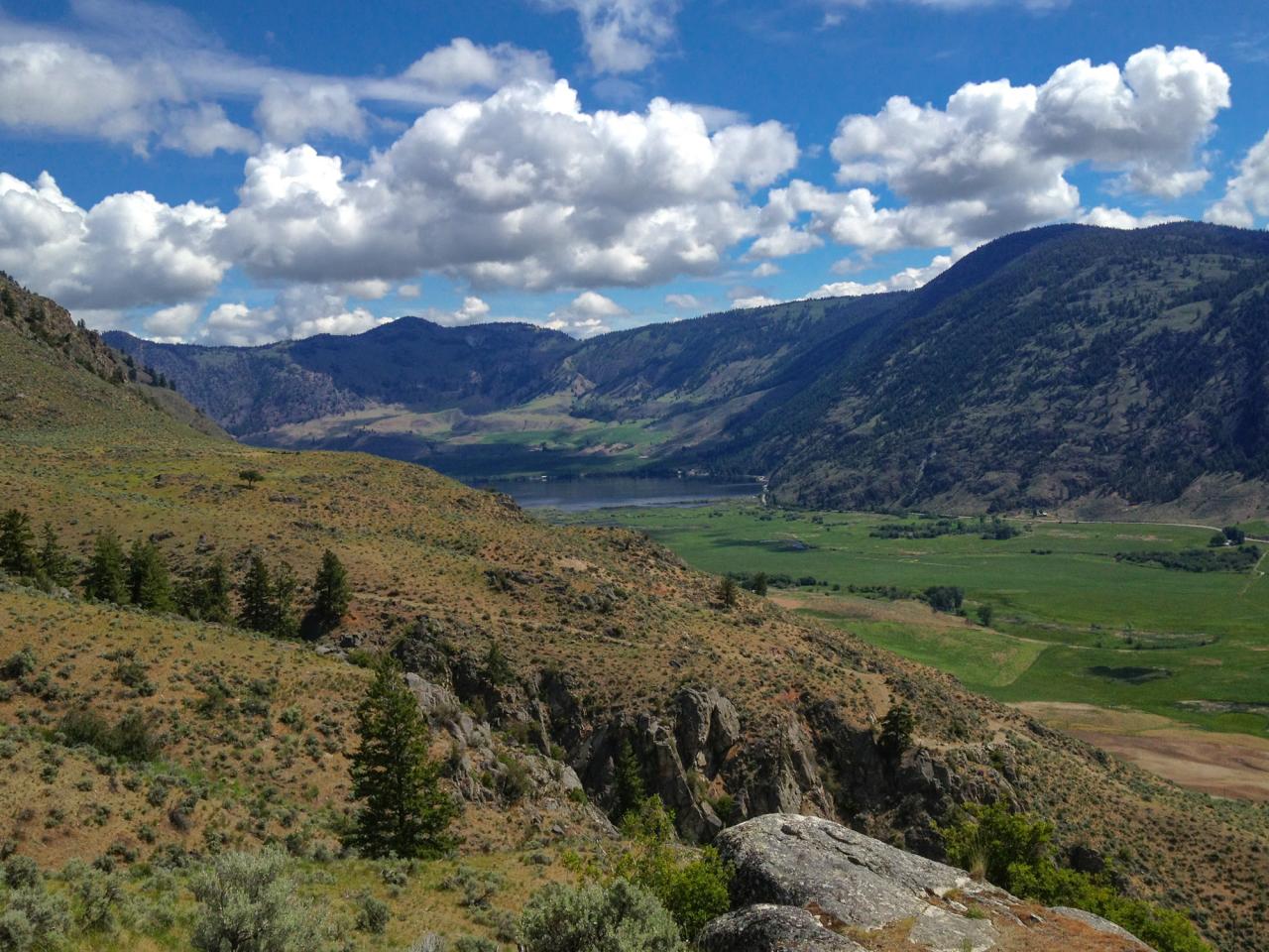
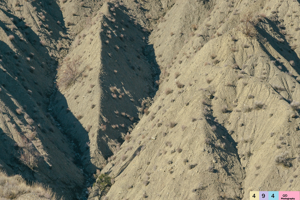
The Sinlahekin River Valley
02-907(a)_Loomis_frm_ridge_above_Highlands_Fire_Camp_Loomis_WA
Spectacle Lake
Nature In Marco Vision
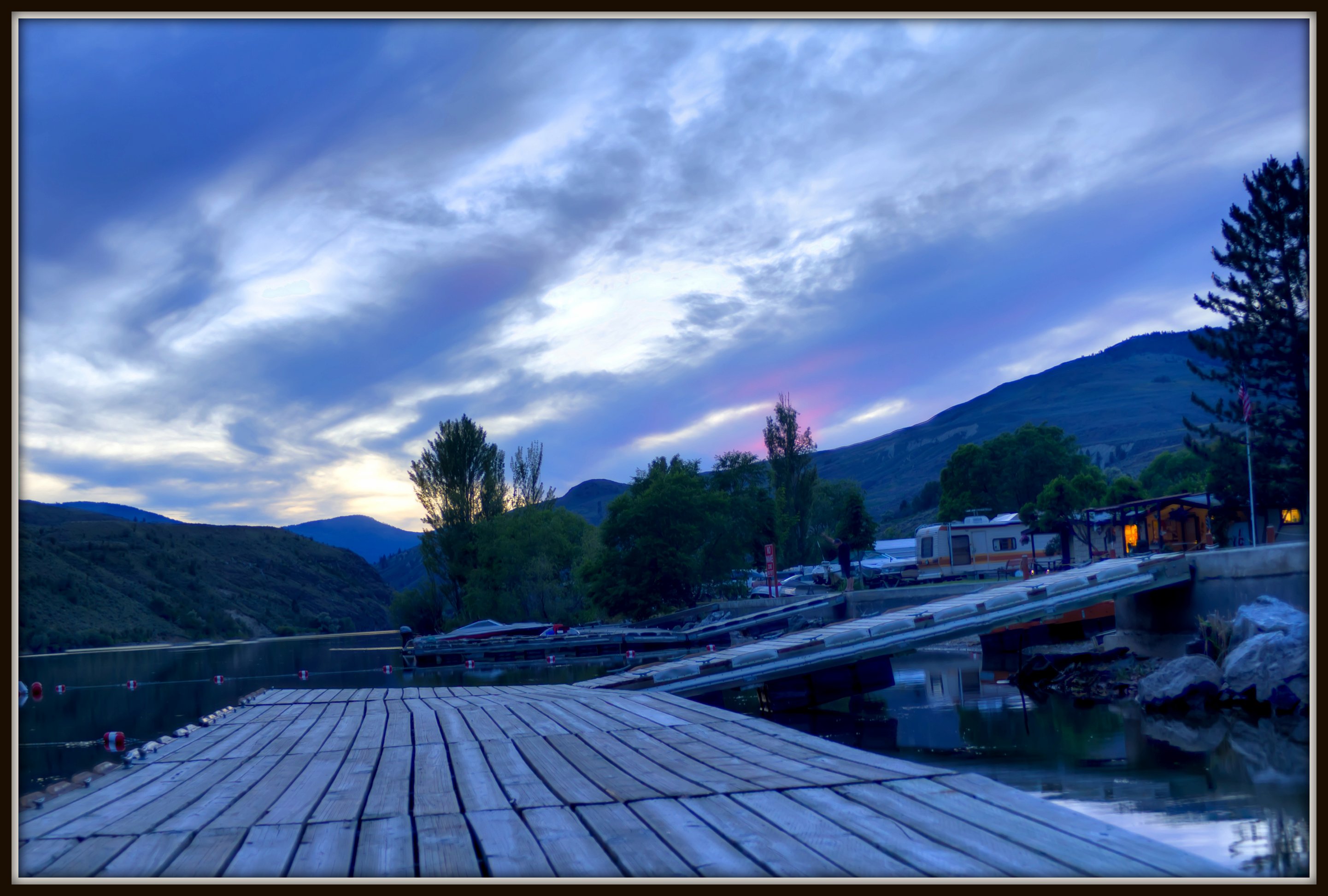
Sanora Point Lakeside Resort
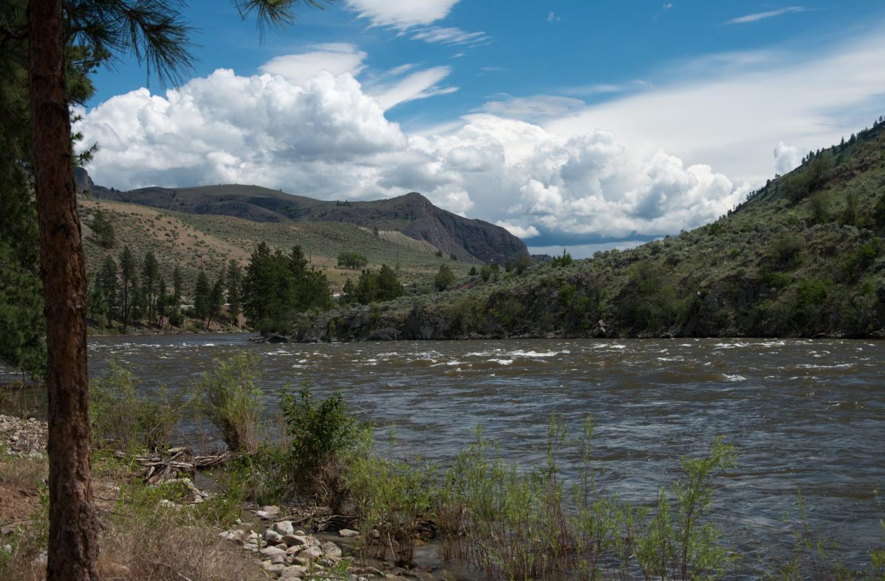
The Similkameen River in between Oroville and Nighthawk
Topographic Map of Wannacut Lake Road, Wannacut Lake Rd, Washington, USA
Find elevation by address:

Places near Wannacut Lake Road, Wannacut Lake Rd, Washington, USA:
East Wannacut Lane
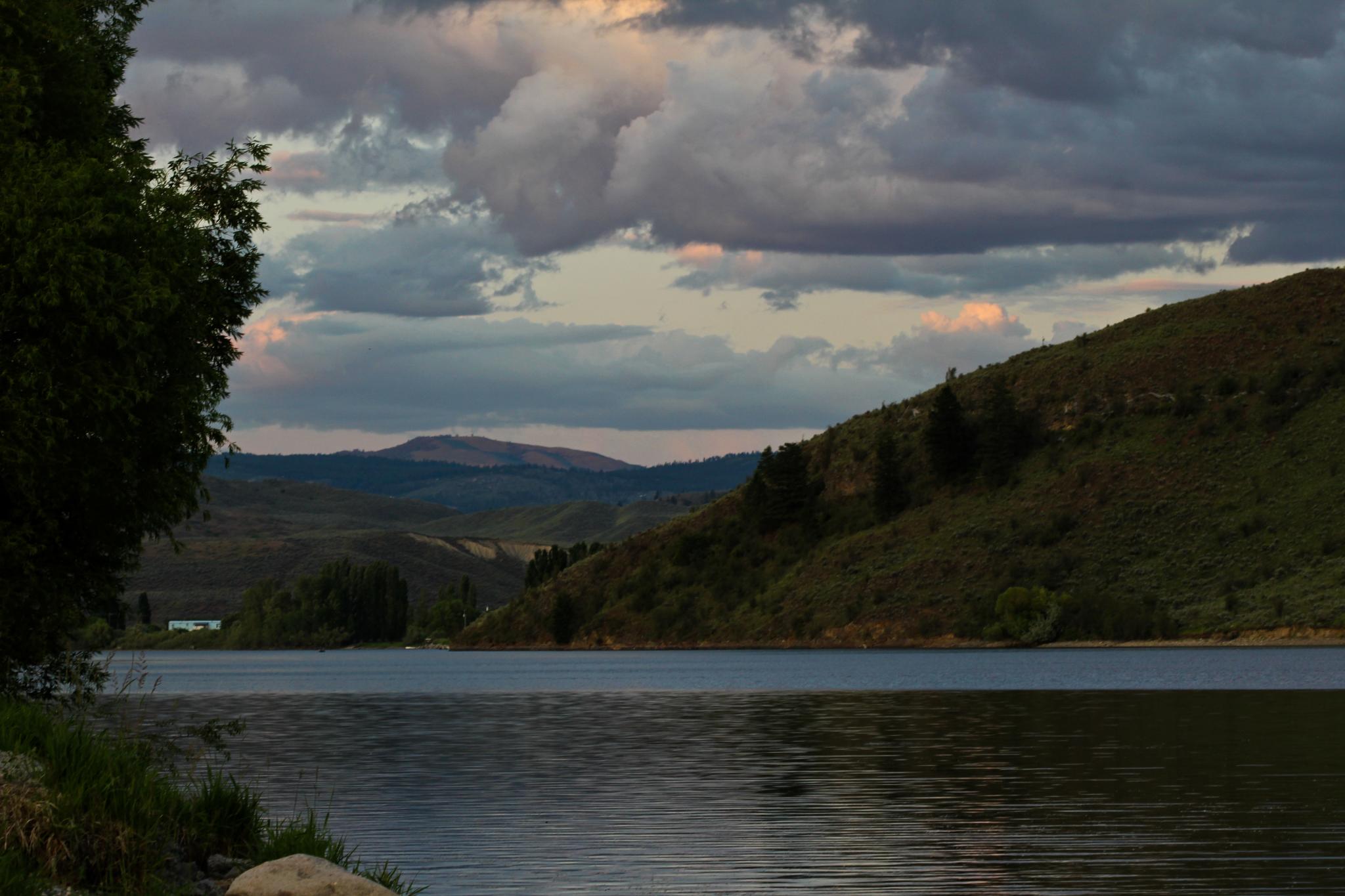
Wannacut Lake
Similkameen River
19 Gavin Rd
19 Gavin Rd
1105 Apple Way Ave
Oroville
4006 Fairwinds Dr
299 Eastlake Rd
2032 Lakeshore Dr
6456 Bc-97
Osoyoos Lake
Chardonnay Court
Osoyoos
Main Street
5701 Jackpine Ln
West Corral Road
Chapman Road
313 Mule Deer Dr
181 Longview Rd
Recent Searches:
- Elevation of Corso Fratelli Cairoli, 35, Macerata MC, Italy
- Elevation of Tallevast Rd, Sarasota, FL, USA
- Elevation of 4th St E, Sonoma, CA, USA
- Elevation of Black Hollow Rd, Pennsdale, PA, USA
- Elevation of Oakland Ave, Williamsport, PA, USA
- Elevation of Pedrógão Grande, Portugal
- Elevation of Klee Dr, Martinsburg, WV, USA
- Elevation of Via Roma, Pieranica CR, Italy
- Elevation of Tavkvetili Mountain, Georgia
- Elevation of Hartfords Bluff Cir, Mt Pleasant, SC, USA