Elevation of Walnut Lane, Walnut Ln, Pearce, AZ, USA
Location: United States > Arizona > Cochise County > Pearce >
Longitude: -109.53165
Latitude: 31.8906214
Elevation: 1425m / 4675feet
Barometric Pressure: 85KPa
Elevation Map:
Satellite Map:
Related Photos:
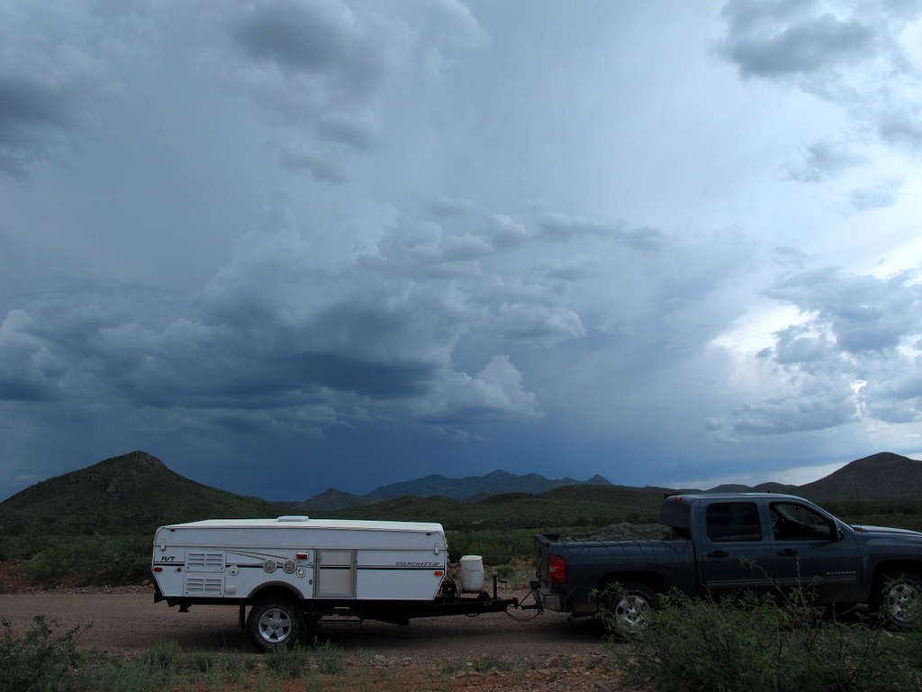
4WD Exploration and Support Unit
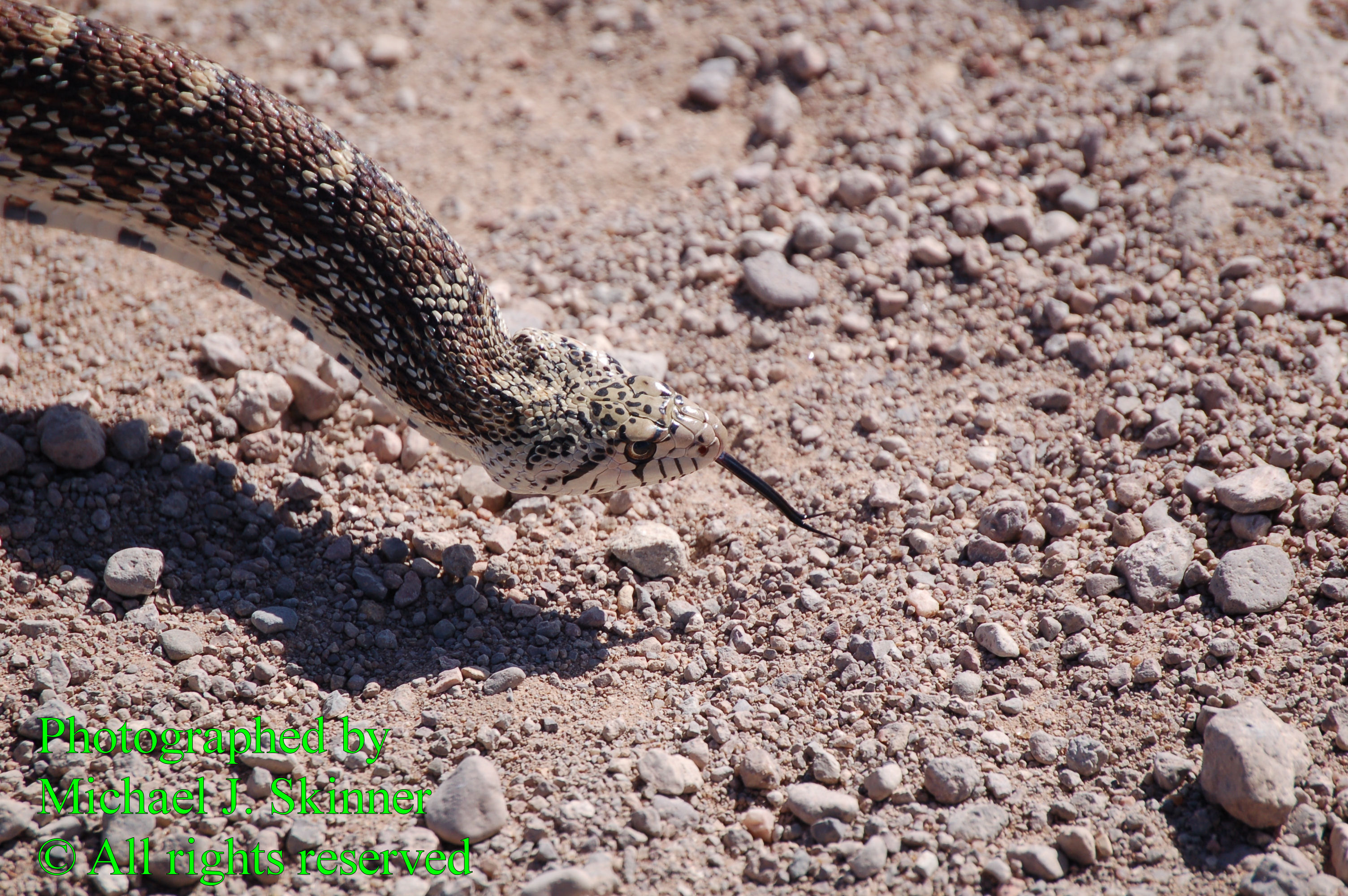
Gopher Snake (Pituophis melanouleucus affnis)
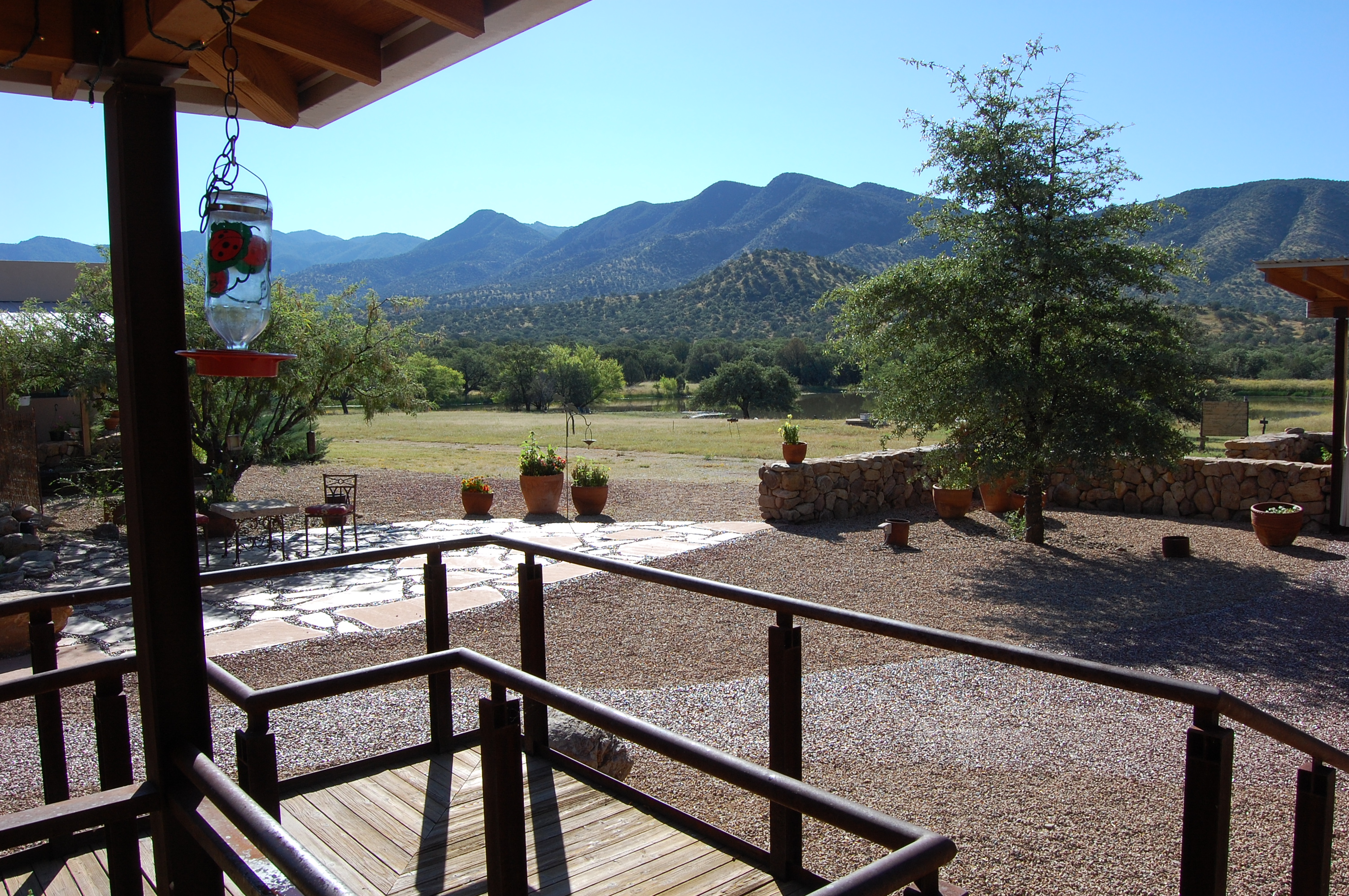
porch view from cafe
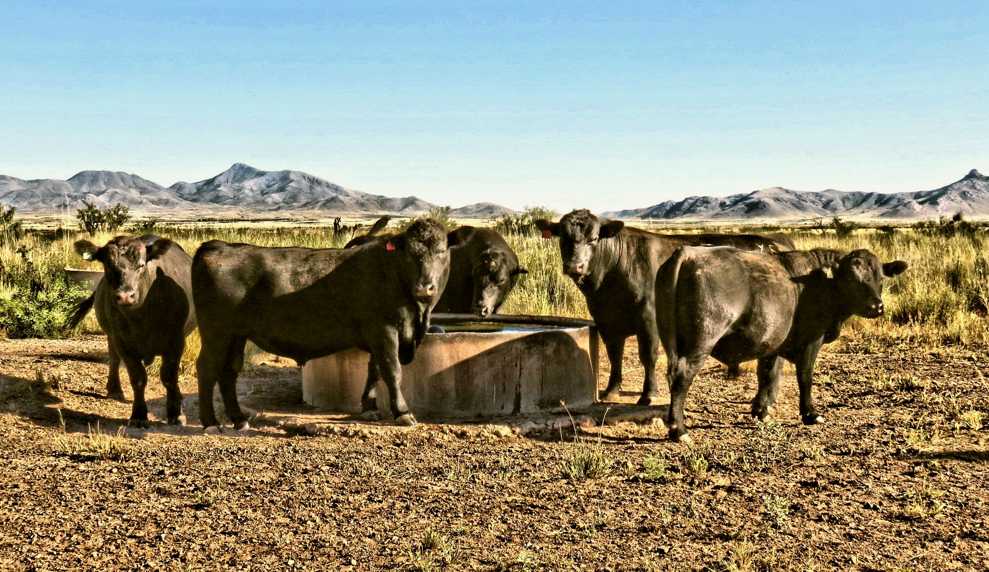
The Boys...hanging out at the water cooler this morning.

A Lot a Bull

Sunglow Ranch -- Pond a low water

Our little Black Angus Bull crop
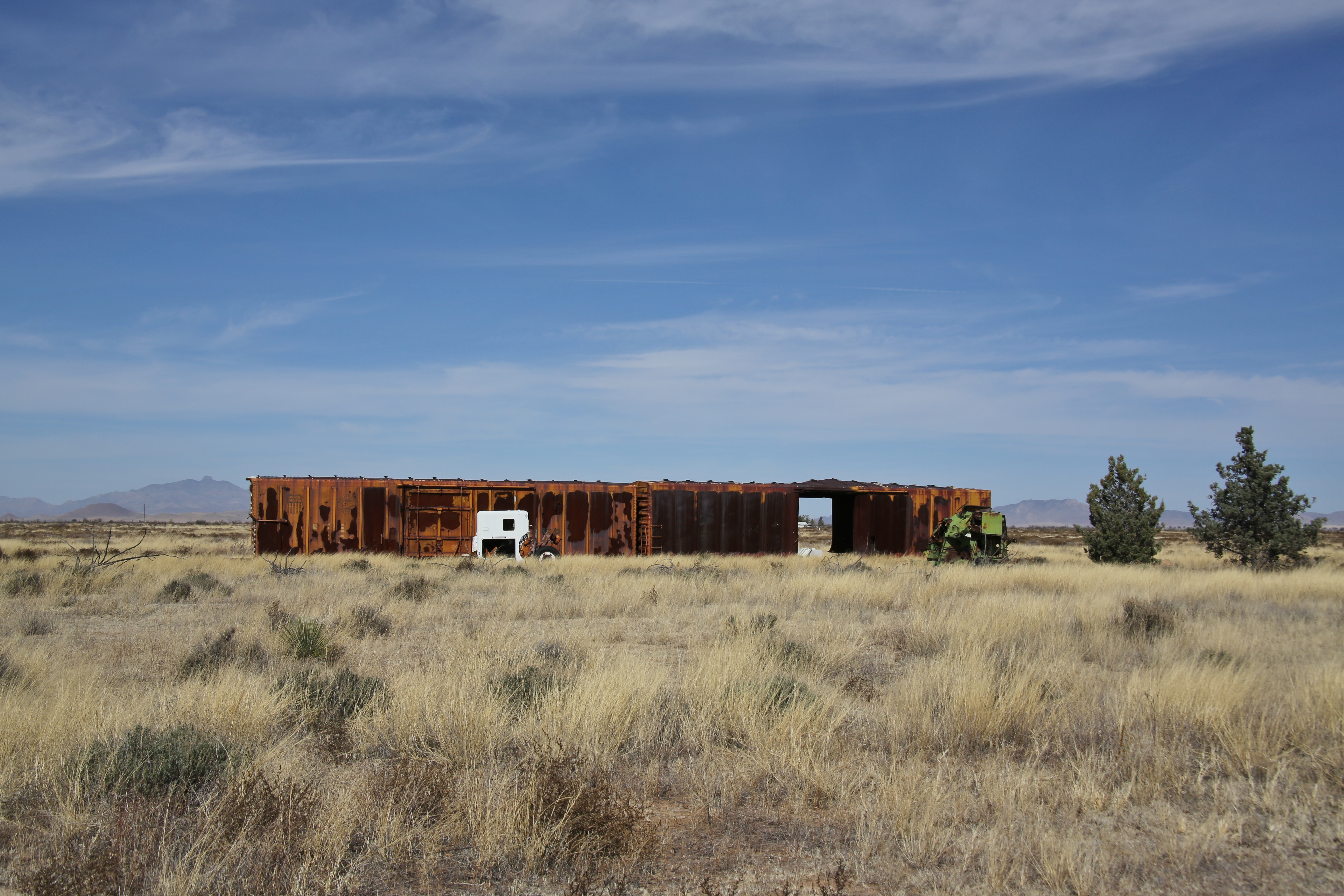
0U1A2822 AZ SR181 Sunizona, Cochise County - roadside ruin
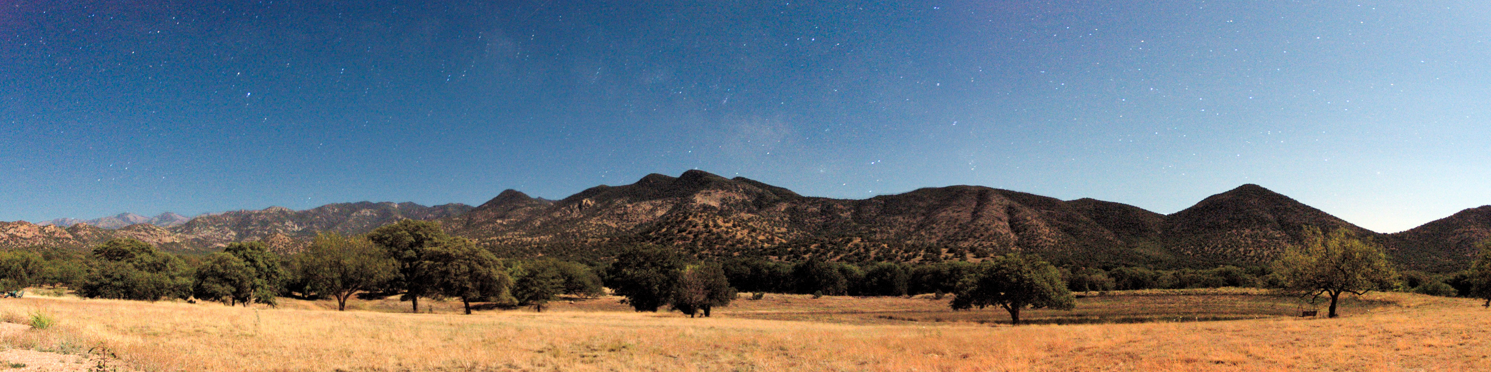
chiricahua night panorama
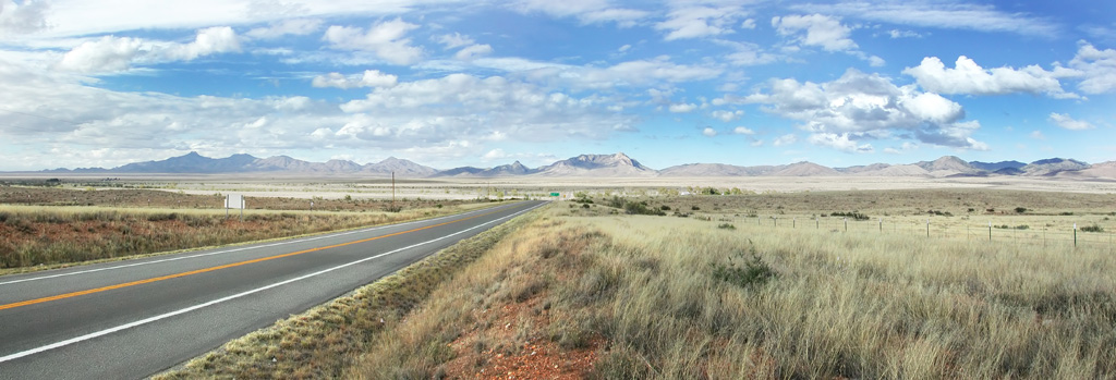
Mountain Ranges
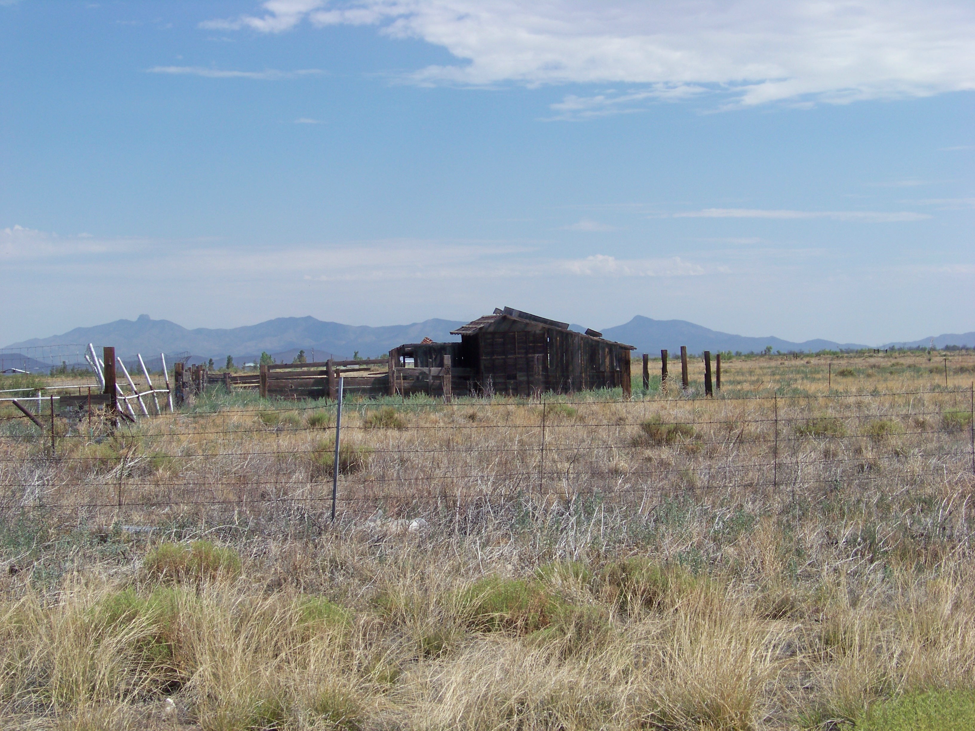
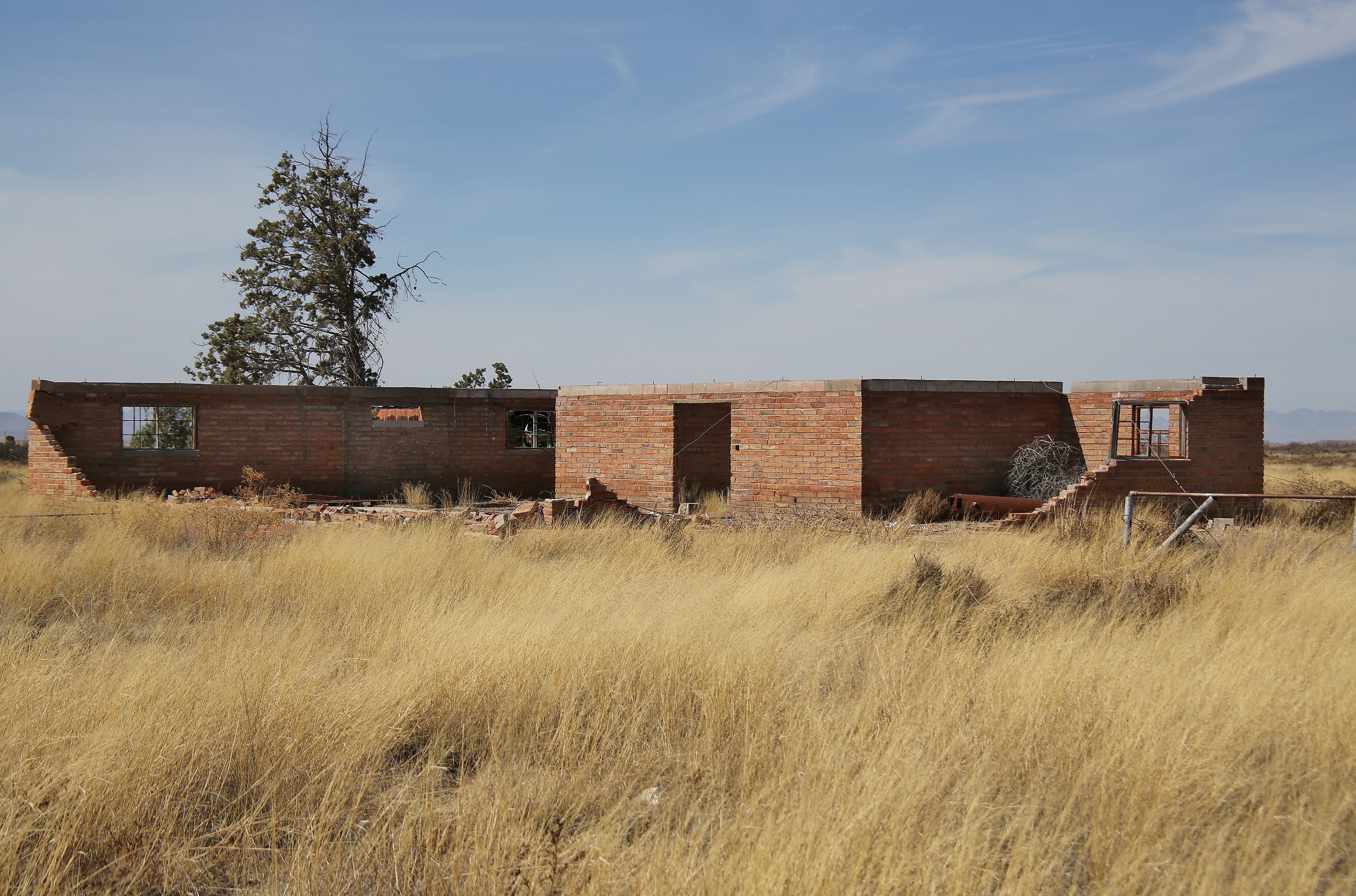
Abandoned Farm Near Sunizona 2

Camelback: hogsback? dike?
0U1A2818 AZ SR181 Sunizona, Cochise County - roadside ruin
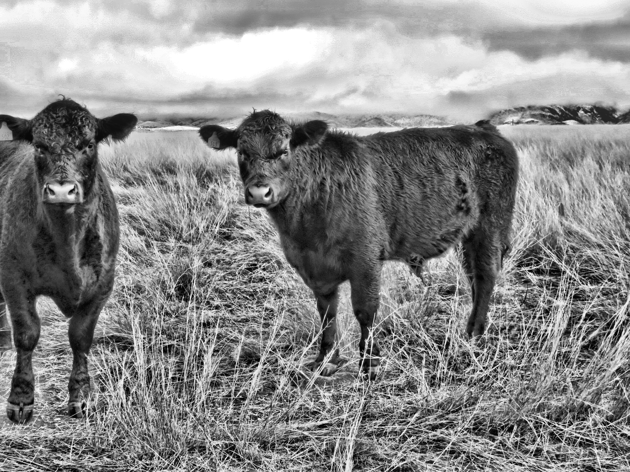
Cattle in Black and White
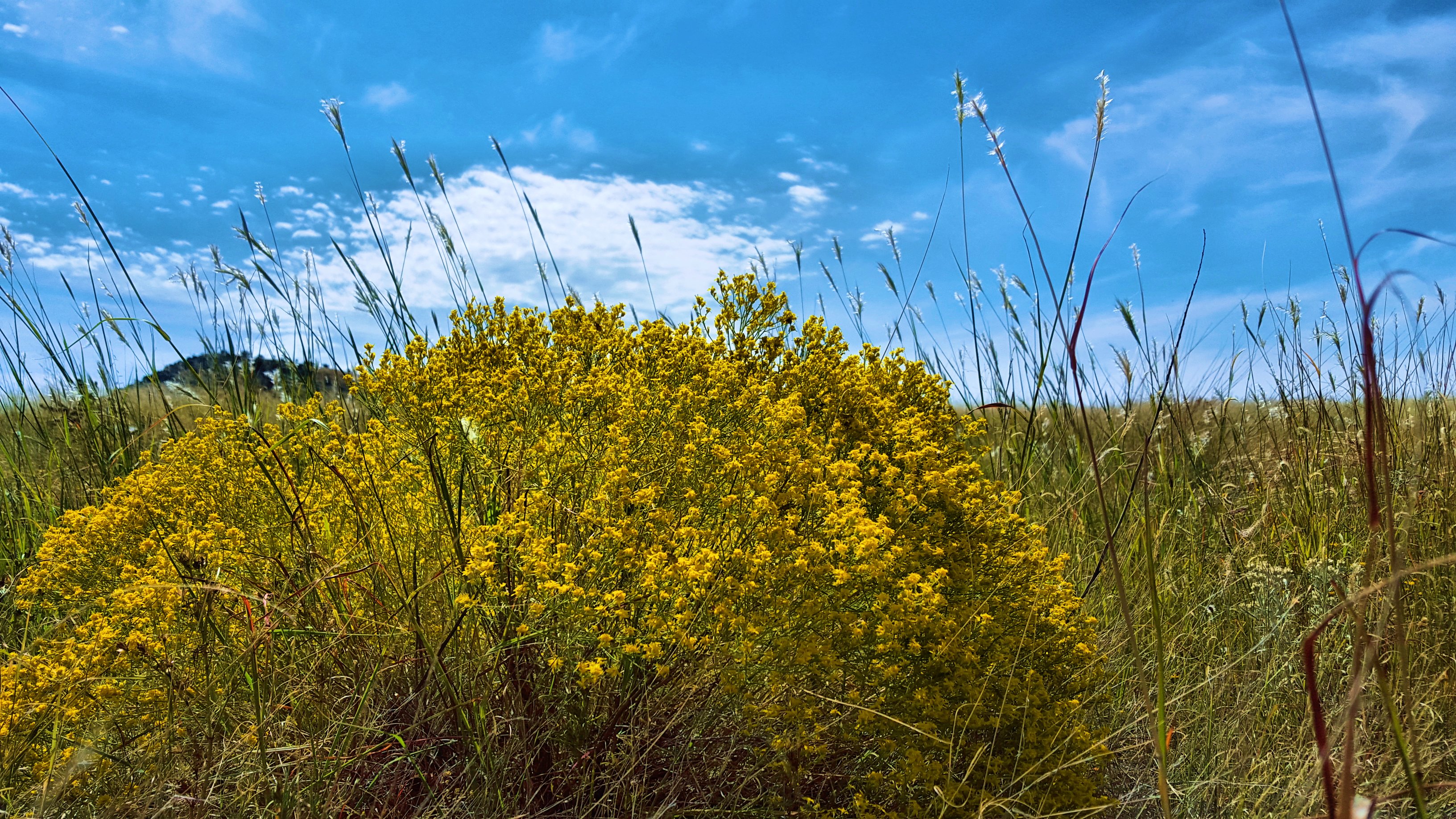
Turpentine Bush - Ericameria laricifolia
Topographic Map of Walnut Lane, Walnut Ln, Pearce, AZ, USA
Find elevation by address:

Places near Walnut Lane, Walnut Ln, Pearce, AZ, USA:
13537 S Clovis Rd
13097 Az-181
10399 Turkey Creek Rd
7376 E Aschenbach Rd
East Pueblo Drive
Mescalero Dr, Pearce, AZ, USA
Sunizona
N Rucker Canyon Rd, Elfrida, AZ, USA
13187 E Turkey Creek Rd
East Bonita Canyon Road
Pinery Canyon Road
Chiricahua National Monument Visitor Center
Bonita Canyon Campground (npsrecgovdata)
Swisshelm Mountain
Chiricahua National Monument
Chiricahua Peak
Flys Peak
6952 S Covered Wagon
Hunt Canyon Rd, Arizona, USA
Elfrida
Recent Searches:
- Elevation of Corso Fratelli Cairoli, 35, Macerata MC, Italy
- Elevation of Tallevast Rd, Sarasota, FL, USA
- Elevation of 4th St E, Sonoma, CA, USA
- Elevation of Black Hollow Rd, Pennsdale, PA, USA
- Elevation of Oakland Ave, Williamsport, PA, USA
- Elevation of Pedrógão Grande, Portugal
- Elevation of Klee Dr, Martinsburg, WV, USA
- Elevation of Via Roma, Pieranica CR, Italy
- Elevation of Tavkvetili Mountain, Georgia
- Elevation of Hartfords Bluff Cir, Mt Pleasant, SC, USA