Elevation of AZ-, Pearce, AZ, USA
Location: United States > Arizona > Cochise County > Pearce >
Longitude: -109.49000
Latitude: 31.8874199
Elevation: 1486m / 4875feet
Barometric Pressure: 85KPa
Elevation Map:
Satellite Map:
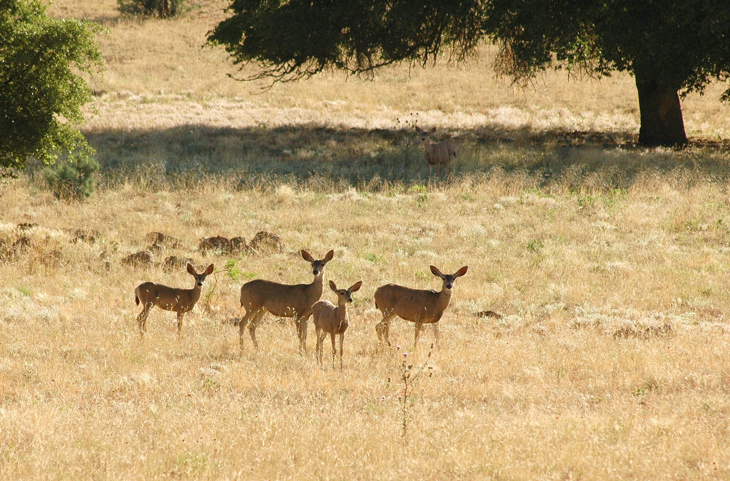
Related Photos:

Gopher Snake (Pituophis melanouleucus affnis)

4WD Exploration and Support Unit

Ornate Tree Lizard Face

Ornate Tree Lizard

porch view from cafe

Sunglow Ranch -- Pond a low water

Our little Black Angus Bull crop

Abandoned Farm Near Sunizona 2

Mountain Ranges

chiricahua night panorama

Near Rucker Canyon

Near Rucker Canyon 5

Near Rucker Canyon 3

Near Rucker Canyon 4

Near Rucker Canyon 2

Cattle in Black and White

Sunset in SE Arizona

0U1A2818 AZ SR181 Sunizona, Cochise County - roadside ruin

0U1A2822 AZ SR181 Sunizona, Cochise County - roadside ruin

Turpentine Bush - Ericameria laricifolia
Copy of DSC_0104

Pouring Rain Over the Chiricahuas
Topographic Map of AZ-, Pearce, AZ, USA
Find elevation by address:

Places near AZ-, Pearce, AZ, USA:
10399 Turkey Creek Rd
Walnut Lane
13537 S Clovis Rd
7376 E Aschenbach Rd
13187 E Turkey Creek Rd
N Rucker Canyon Rd, Elfrida, AZ, USA
East Pueblo Drive
East Bonita Canyon Road
Mescalero Dr, Pearce, AZ, USA
Sunizona
Pinery Canyon Road
Chiricahua National Monument Visitor Center
Bonita Canyon Campground (npsrecgovdata)
Chiricahua National Monument
Chiricahua Peak
Flys Peak
Swisshelm Mountain
Pinery Canyon Campground
Hunt Canyon Rd, Arizona, USA
Hilltop
Recent Searches:
- Elevation of Corso Fratelli Cairoli, 35, Macerata MC, Italy
- Elevation of Tallevast Rd, Sarasota, FL, USA
- Elevation of 4th St E, Sonoma, CA, USA
- Elevation of Black Hollow Rd, Pennsdale, PA, USA
- Elevation of Oakland Ave, Williamsport, PA, USA
- Elevation of Pedrógão Grande, Portugal
- Elevation of Klee Dr, Martinsburg, WV, USA
- Elevation of Via Roma, Pieranica CR, Italy
- Elevation of Tavkvetili Mountain, Georgia
- Elevation of Hartfords Bluff Cir, Mt Pleasant, SC, USA