Elevation of Walnut Ave, Brighton, IA, USA
Location: United States > Iowa > Jefferson County > Walnut >
Longitude: -91.759888
Latitude: 41.0944013
Elevation: 215m / 705feet
Barometric Pressure: 99KPa
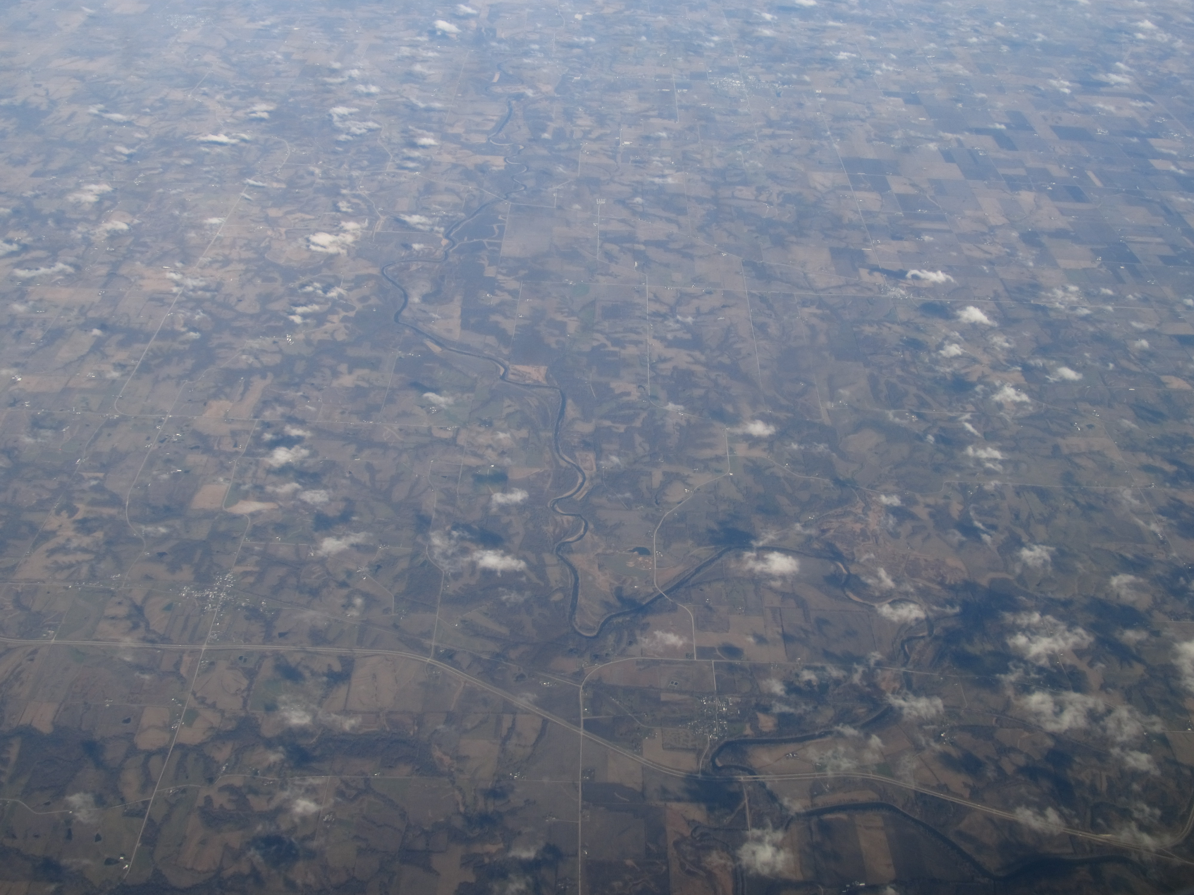
Elevation Map:
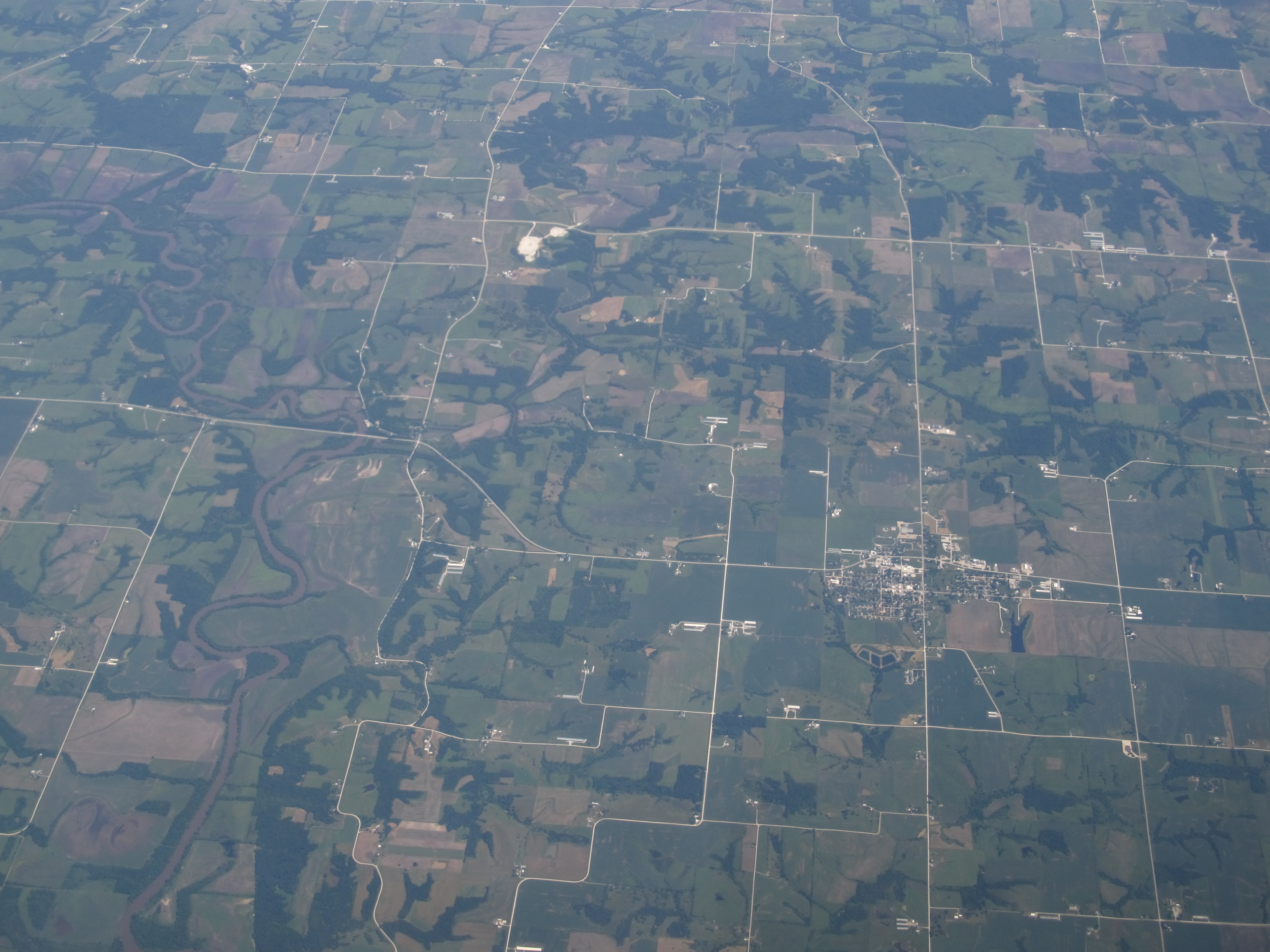
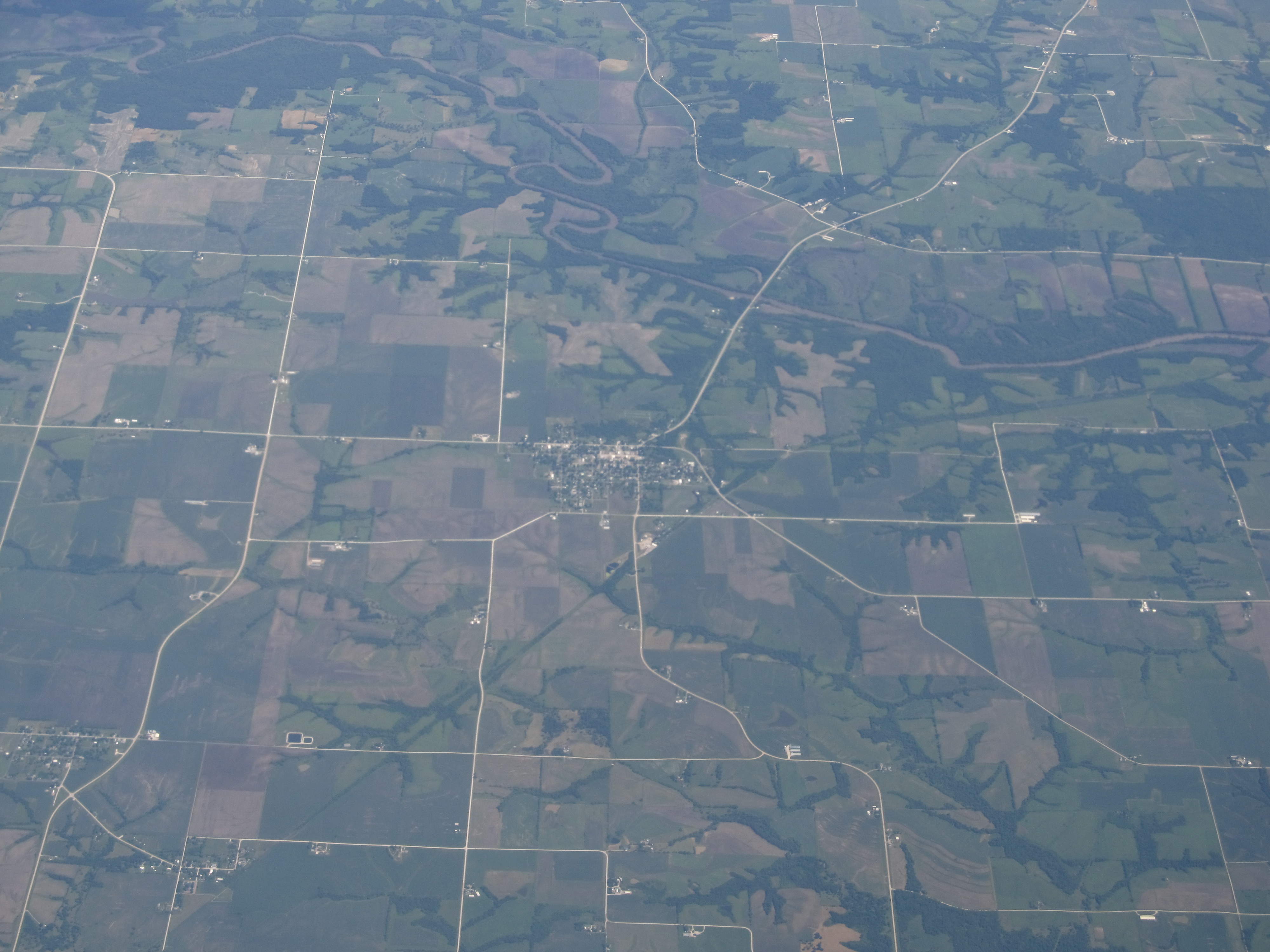
Satellite Map:
Related Photos:

Explored: Dock
Bland Winter Landscape
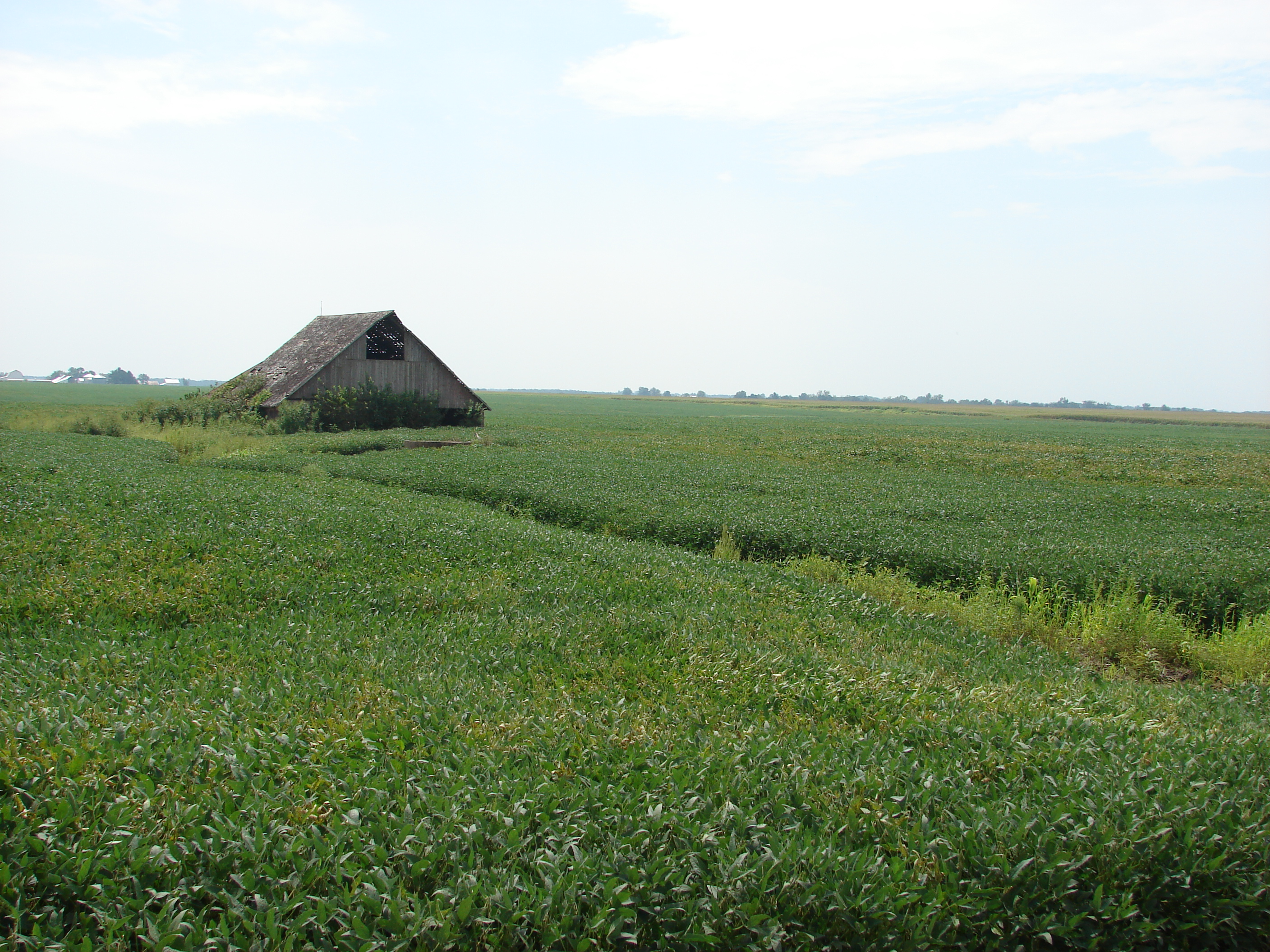
Awash in a sea of beans

Iowa!

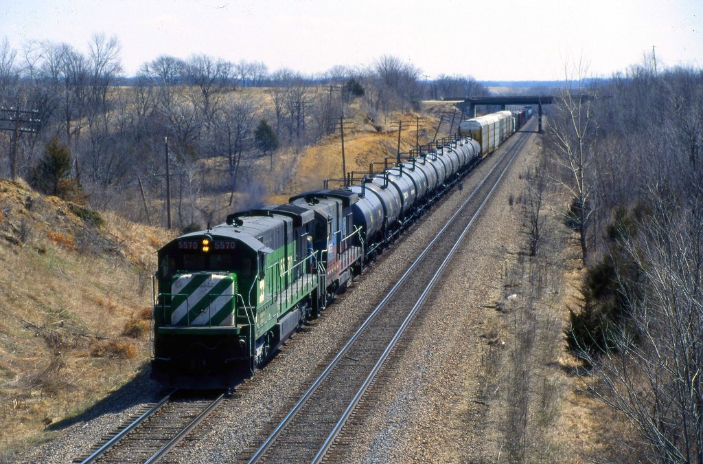
bnsf 6318
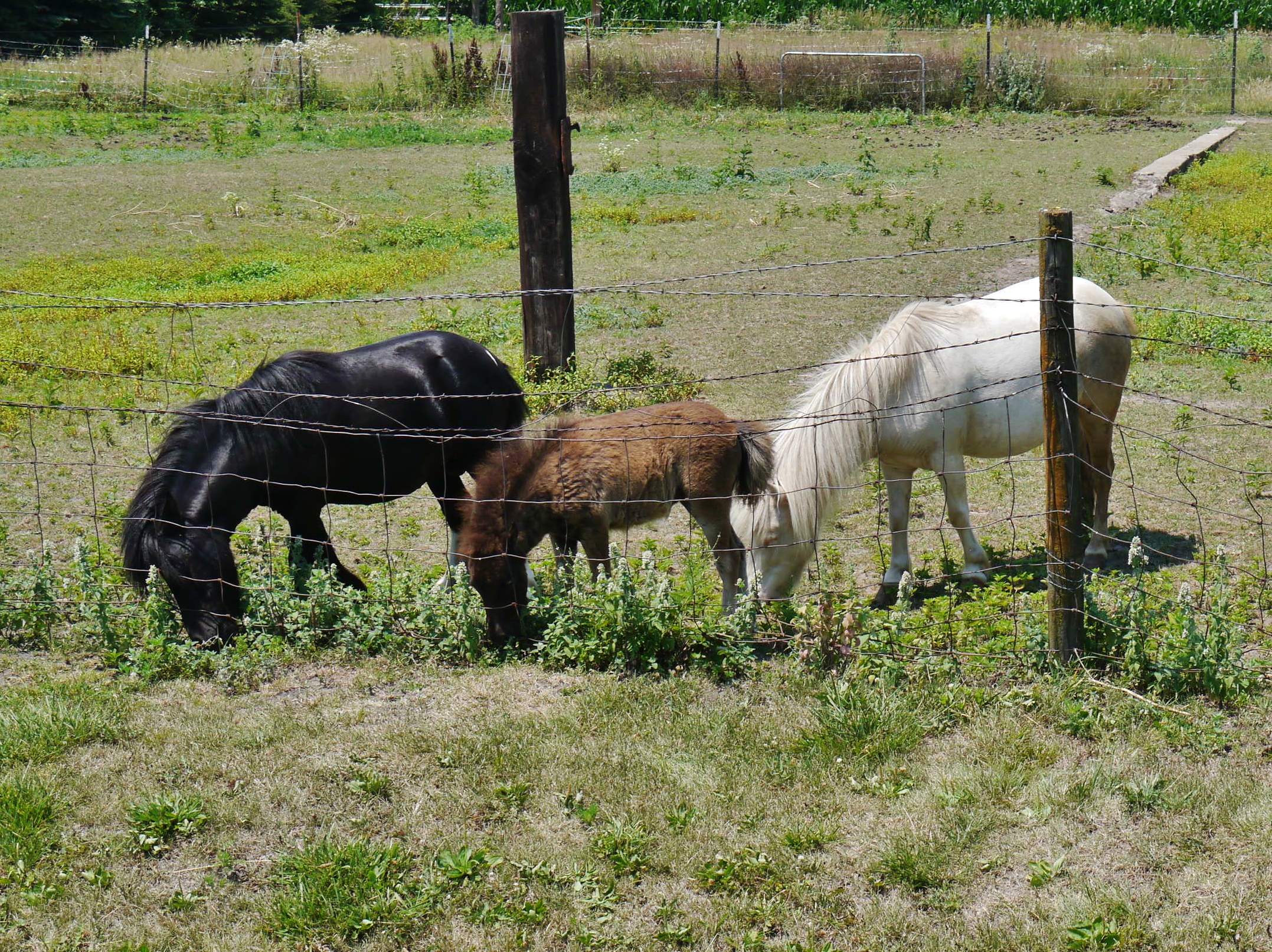
62912-207, Family of Miniature Horses

When in Rome...
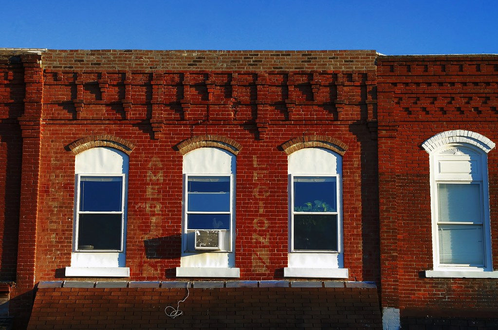
Warm bricks and ghosts
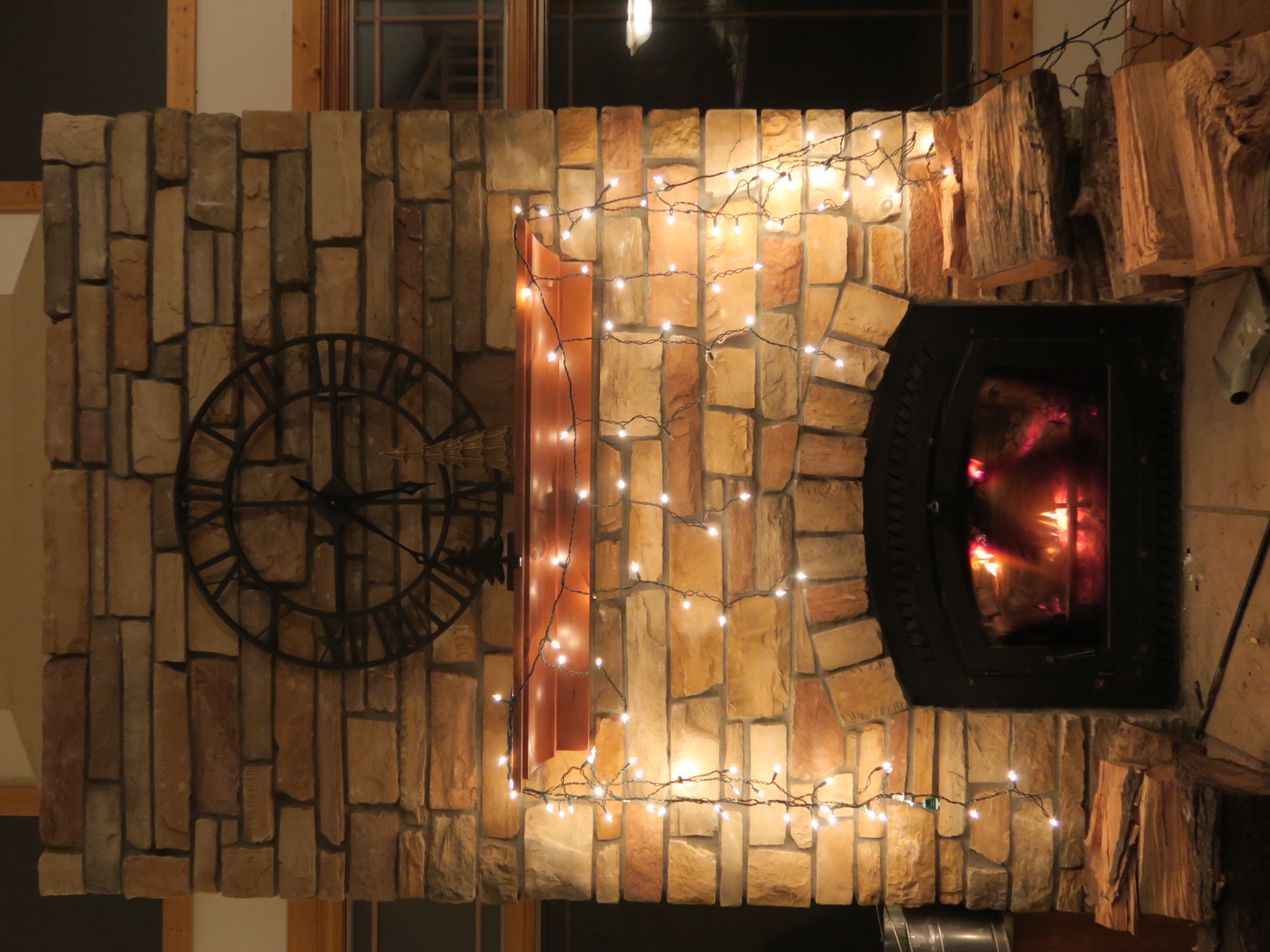
Icicle lights above fireplace

Fairfield, Iowa

Random iPhoto's

Random iPhoto's

Random iPhoto's

Random iPhoto's
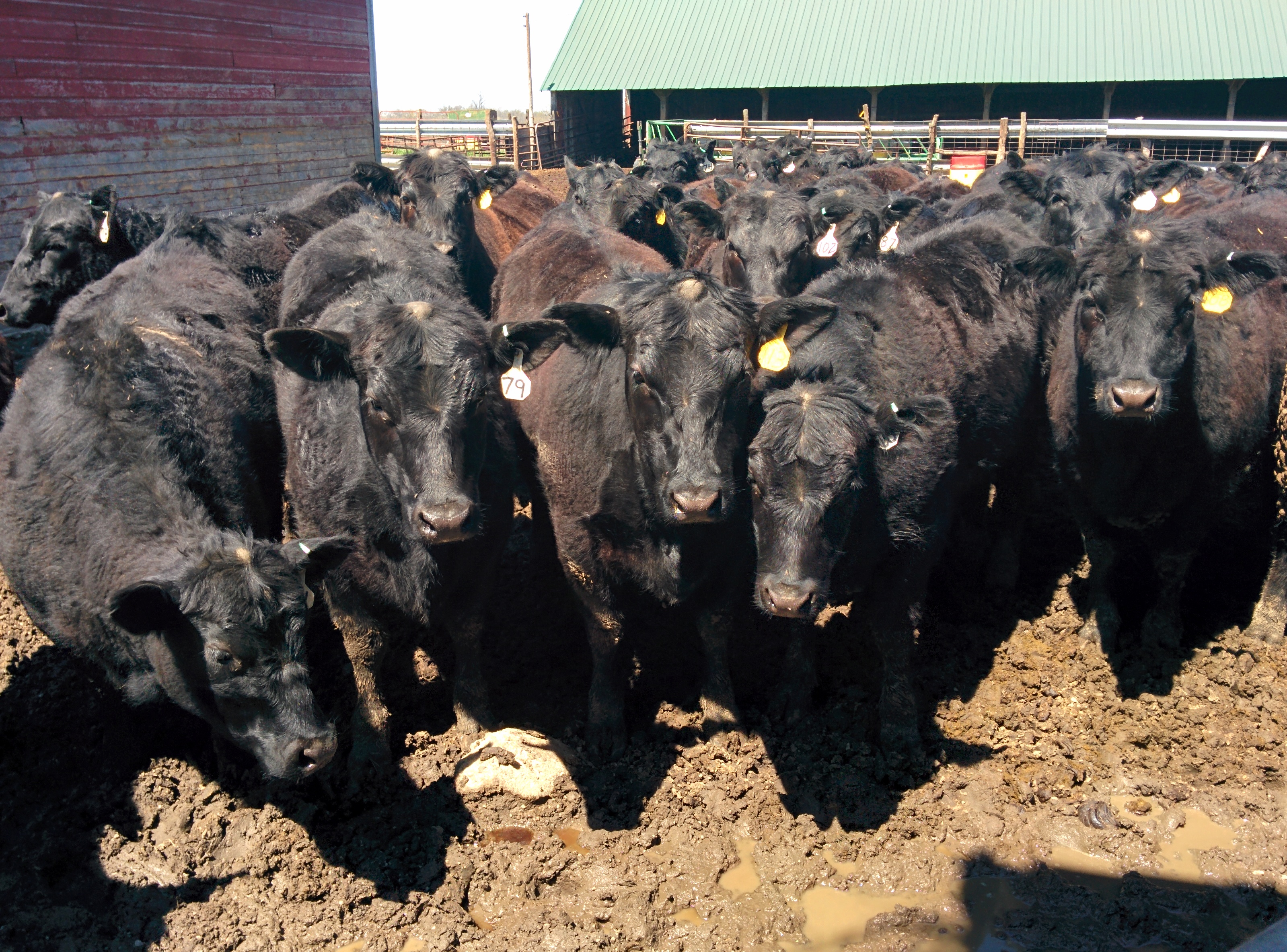
Herd of cattle
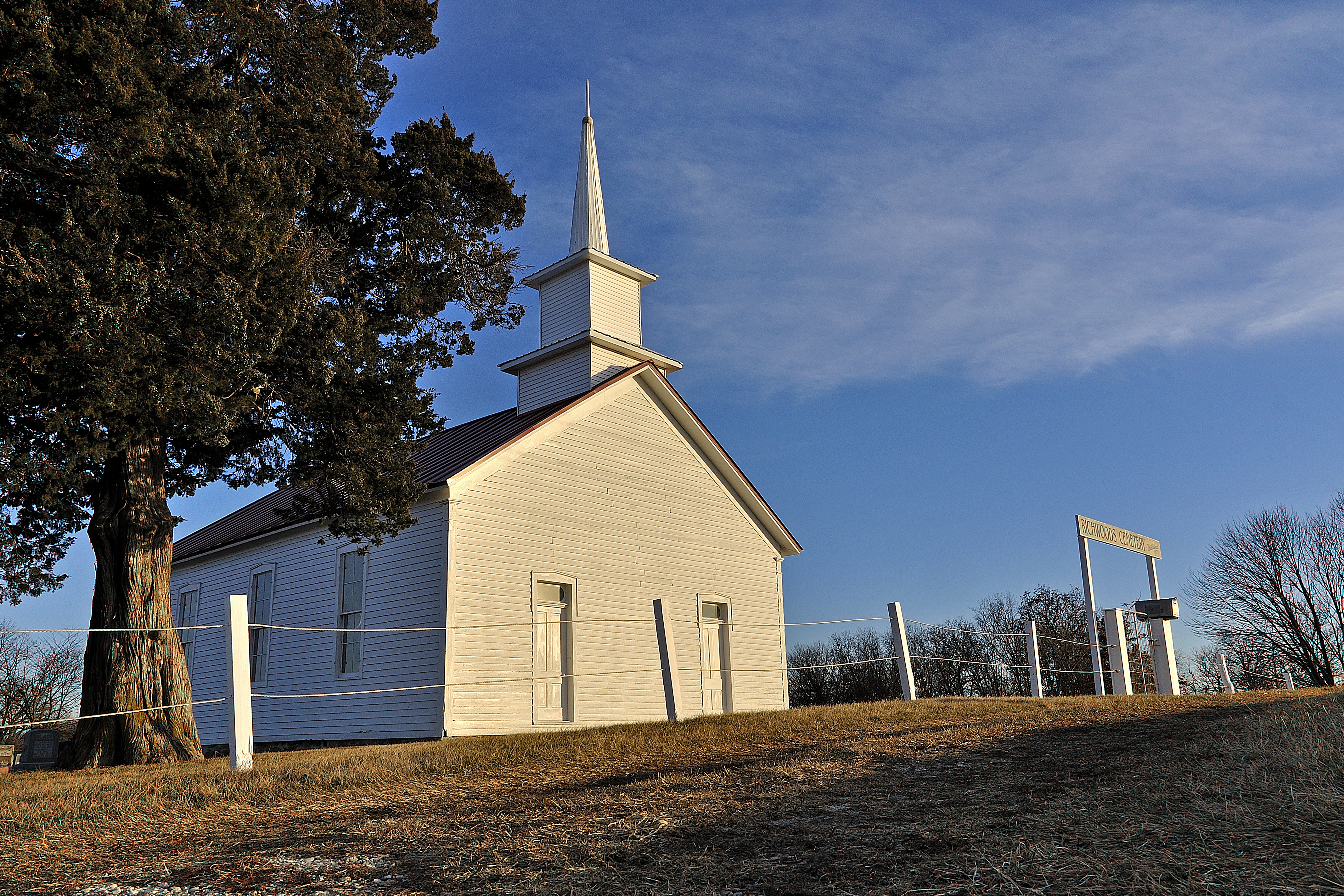
Richwoods Church 1877-????

Cattle grazing

BNSF 5746 - Lockridge IA

sun glare
Skunk River, Iowa
Wayland, Iowa
Brighton, Iowa

Every Inch A Car

Brighton Iowa, Skelly Gas Station, Washington County IA
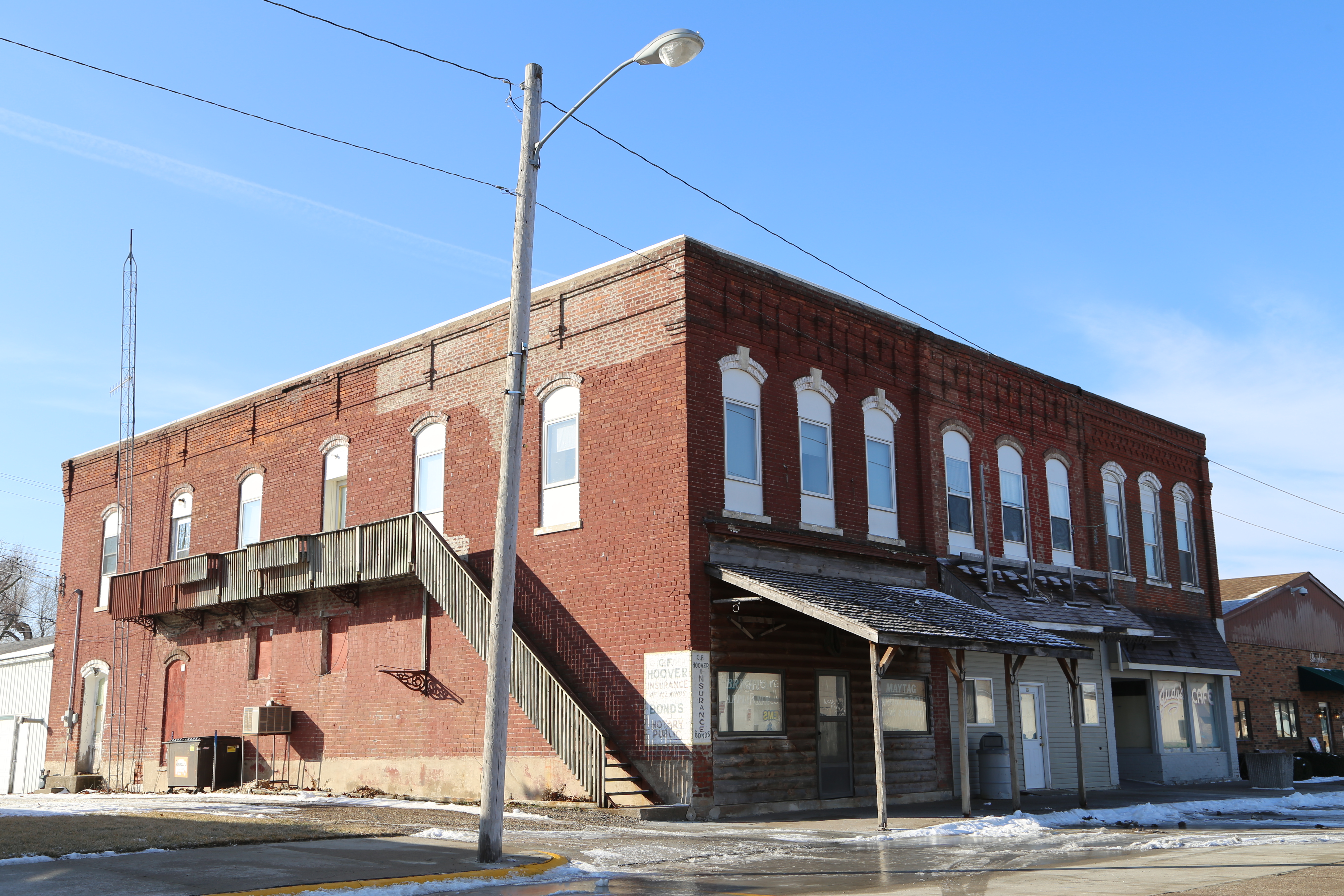
Brighton Iowa, Washington County IA
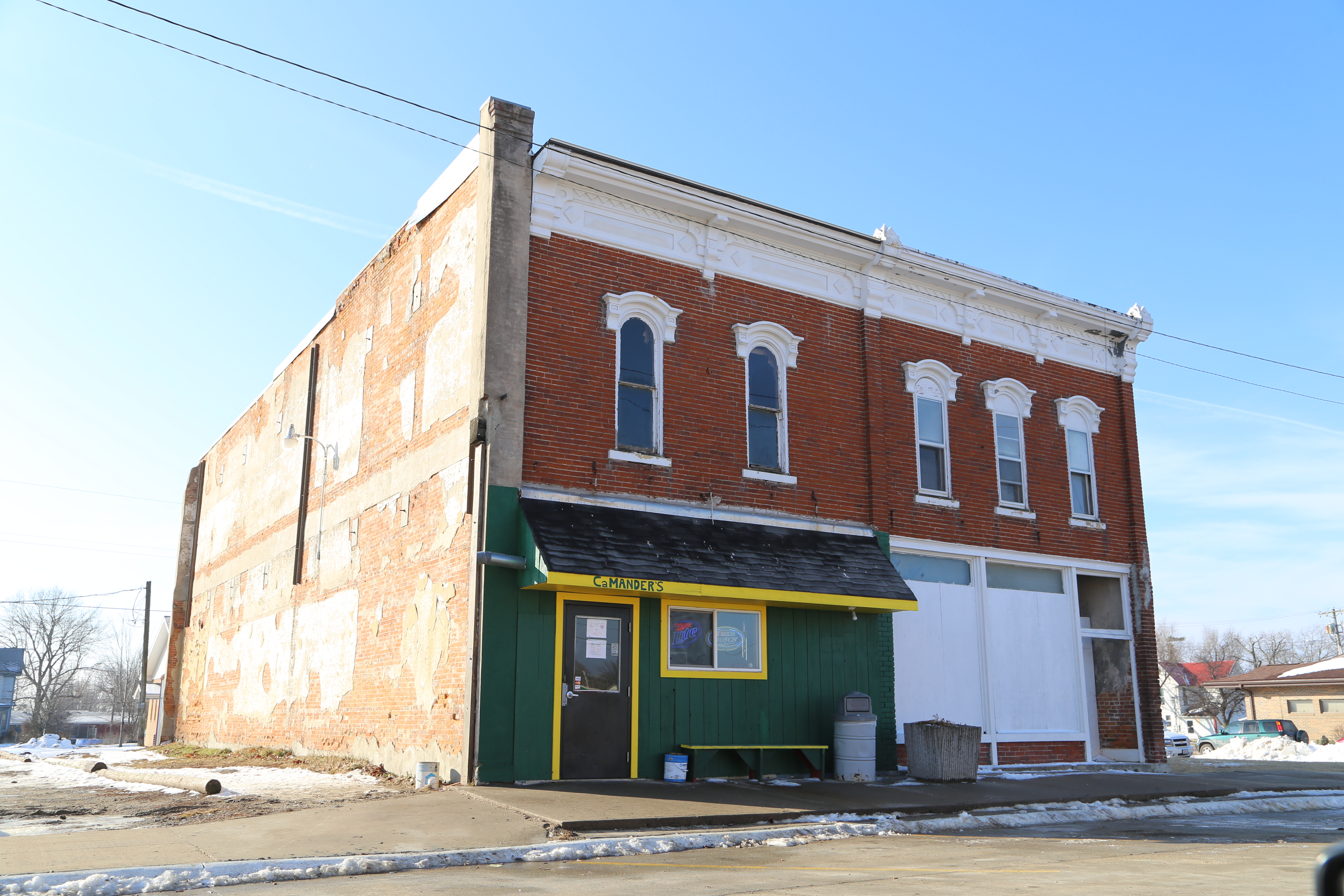
Brighton Iowa, Washington County IA

Brighton Iowa, Grain Elevator, Washington County IA
Topographic Map of Walnut Ave, Brighton, IA, USA
Find elevation by address:

Places near Walnut Ave, Brighton, IA, USA:
th Blvd, Brighton, IA, USA
Walnut
Lockridge
Lockridge
th Blvd, Lockridge, IA, USA
Jefferson
Wayland
N Washington St, Wayland, IA, USA
2111 290th St
Jefferson County
Clay
Henry County
Westwood Dr, Mt Pleasant, IA, USA
Westwood
Tippecanoe
2451 Franklin Ave
Birch Ave, Clay, IA, USA
rd St, Mt Pleasant, IA, USA
S Marion Ave, Washington, IA, USA
nd St, Mt Pleasant, IA, USA
Recent Searches:
- Elevation of Corso Fratelli Cairoli, 35, Macerata MC, Italy
- Elevation of Tallevast Rd, Sarasota, FL, USA
- Elevation of 4th St E, Sonoma, CA, USA
- Elevation of Black Hollow Rd, Pennsdale, PA, USA
- Elevation of Oakland Ave, Williamsport, PA, USA
- Elevation of Pedrógão Grande, Portugal
- Elevation of Klee Dr, Martinsburg, WV, USA
- Elevation of Via Roma, Pieranica CR, Italy
- Elevation of Tavkvetili Mountain, Georgia
- Elevation of Hartfords Bluff Cir, Mt Pleasant, SC, USA