Elevation of th Blvd, Brighton, IA, USA
Location: United States > Iowa > Jefferson County > Walnut >
Longitude: -91.725930
Latitude: 41.0922876
Elevation: 200m / 656feet
Barometric Pressure: 99KPa
Elevation Map:
Satellite Map:
Related Photos:
A Look Back
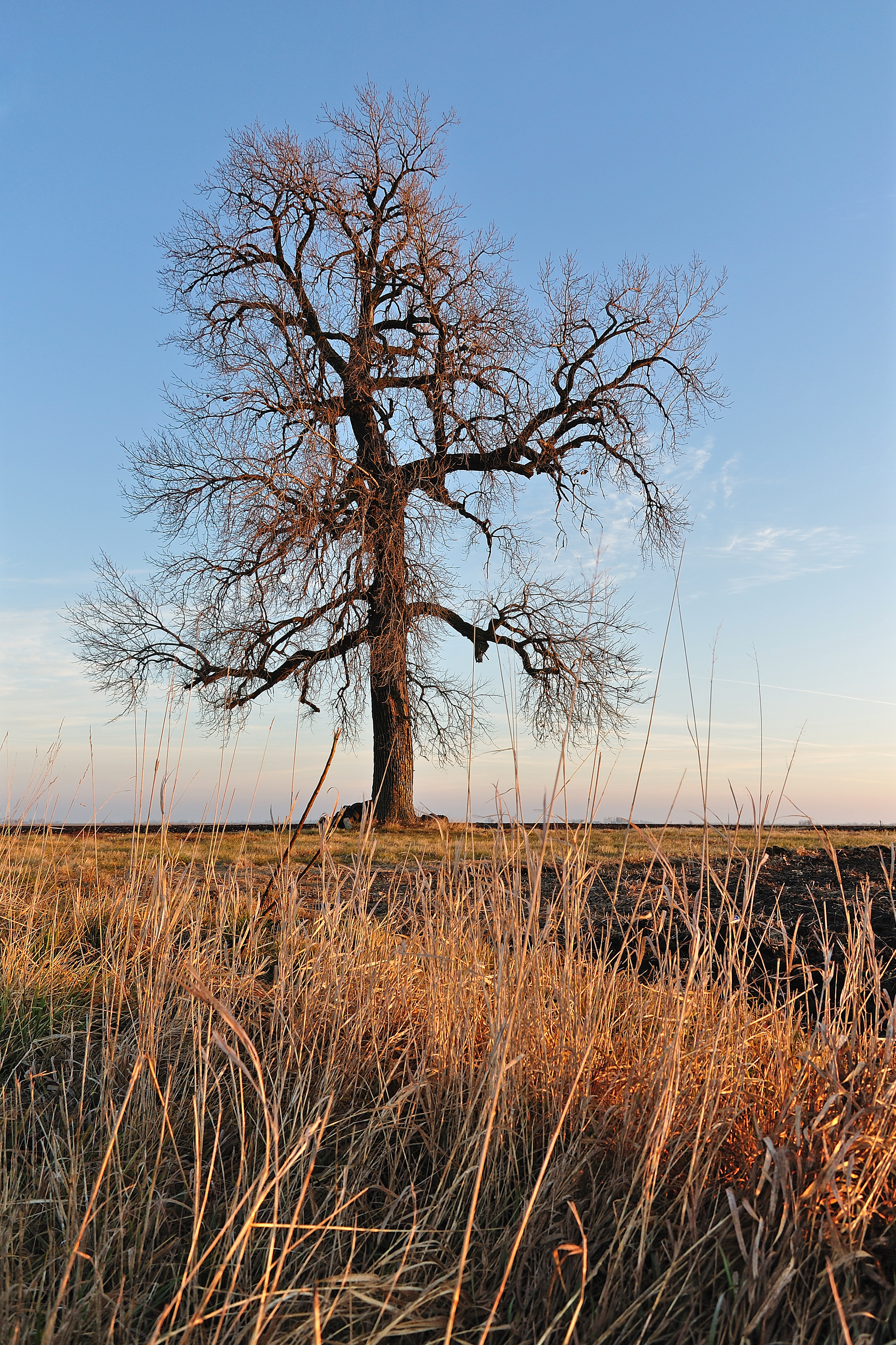
Bland Winter Landscape

Iowa!

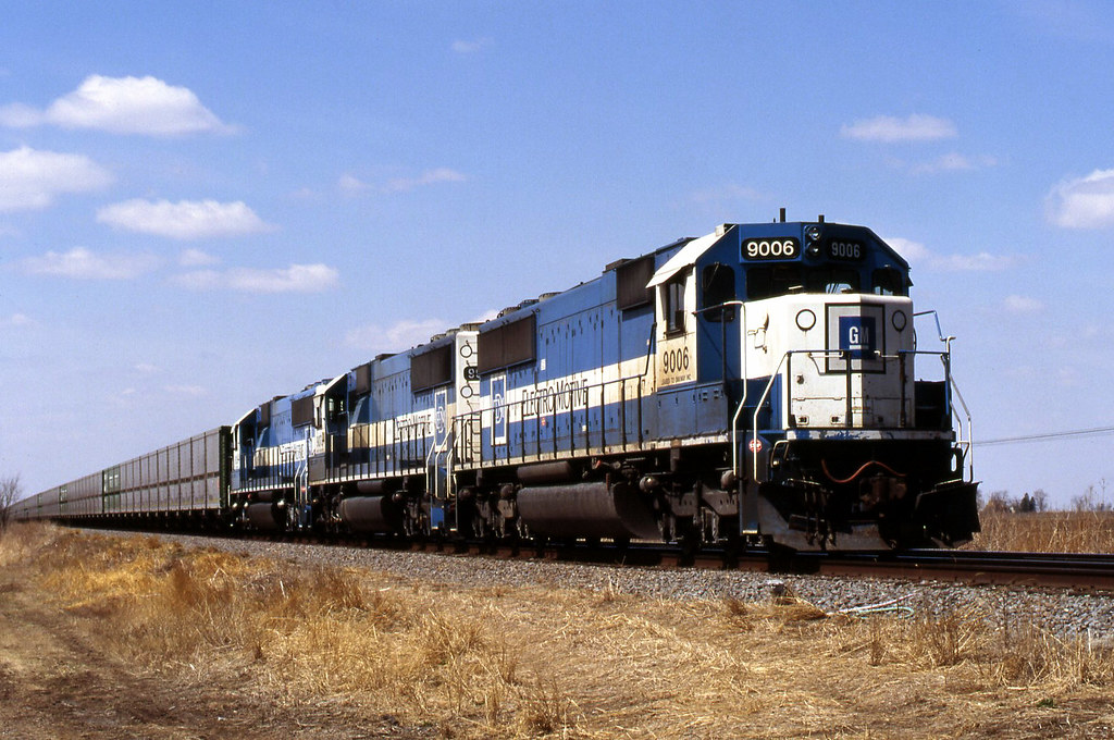
bnsf 6318
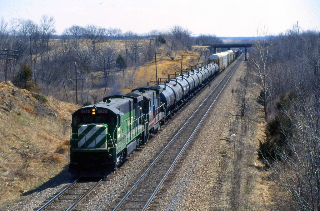
Holding Ground
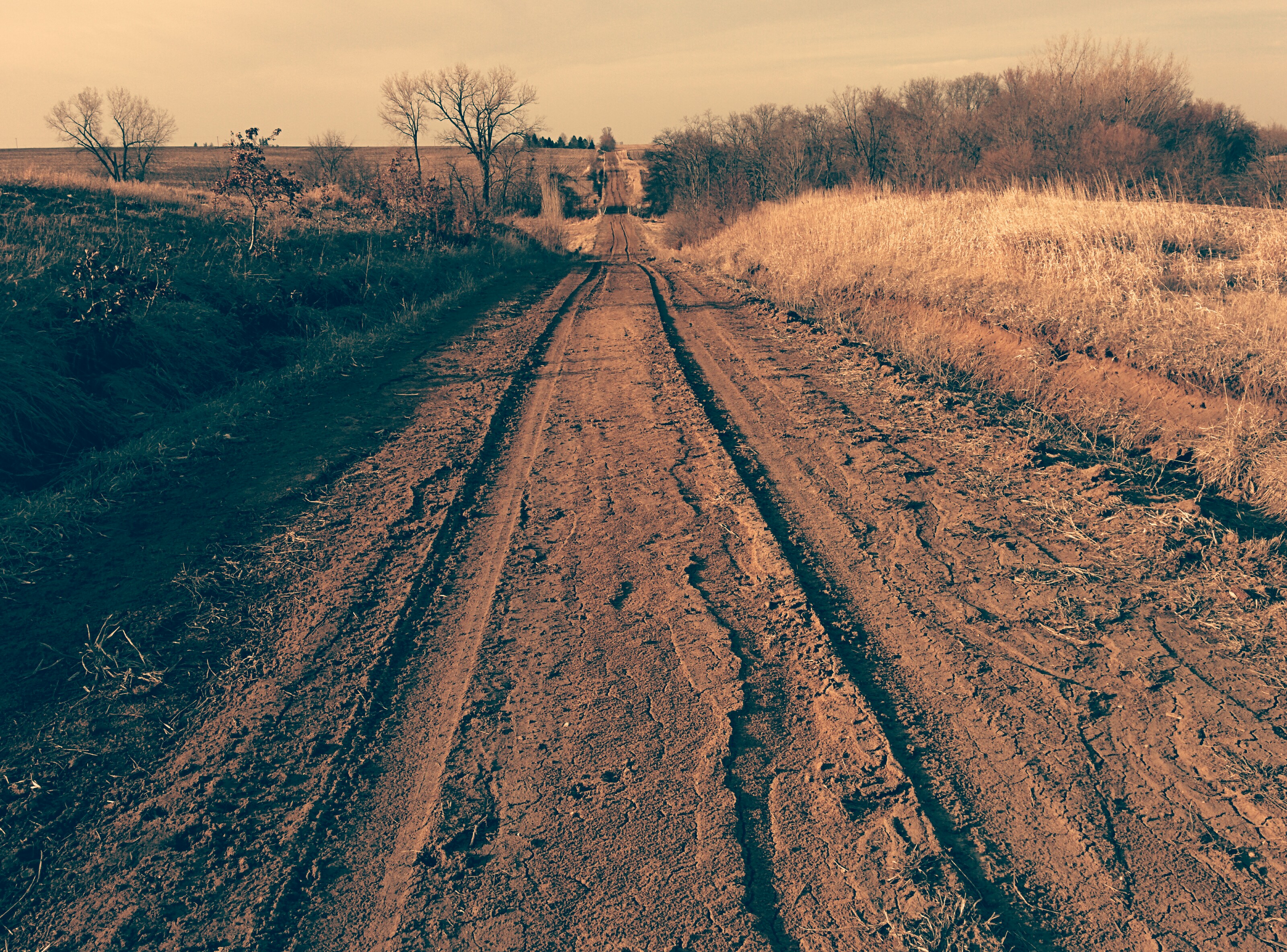
Tire tracks on dirt road

Dirt Road
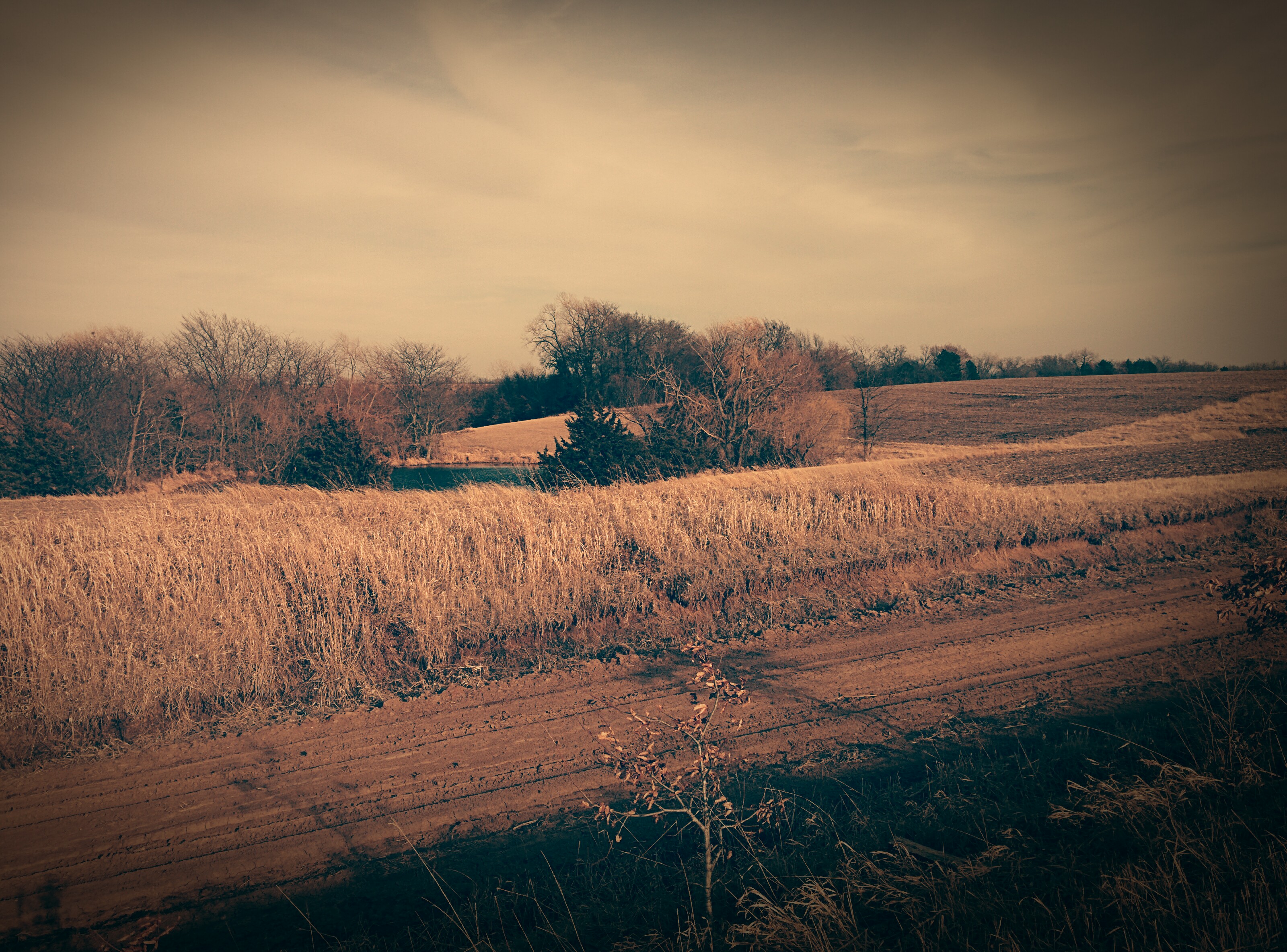
Dirt Road

Old dirt road
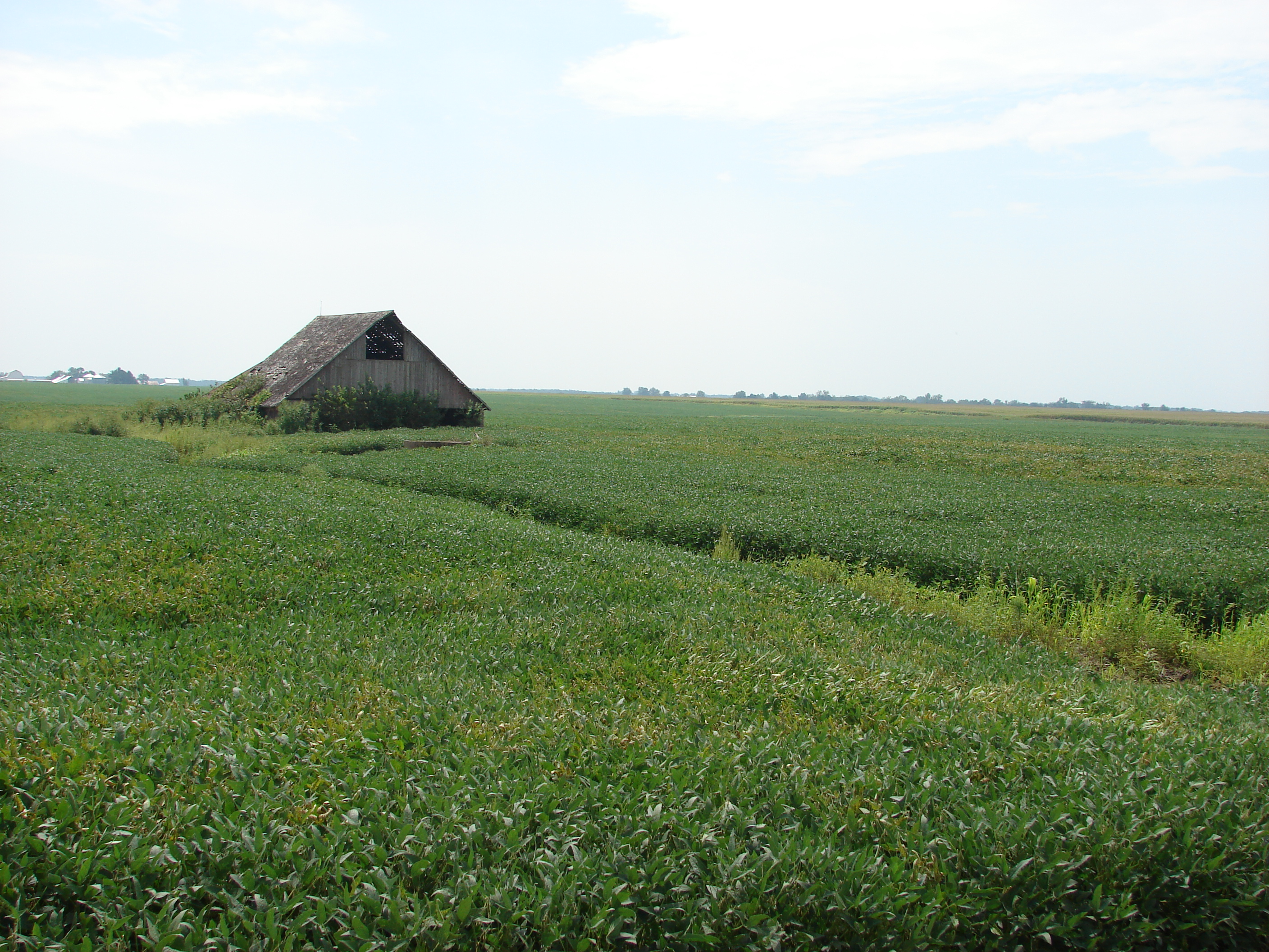
Awash in a sea of beans
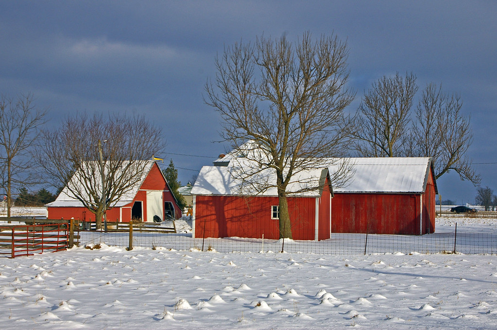
Red barns in Swedesburg, Iowa
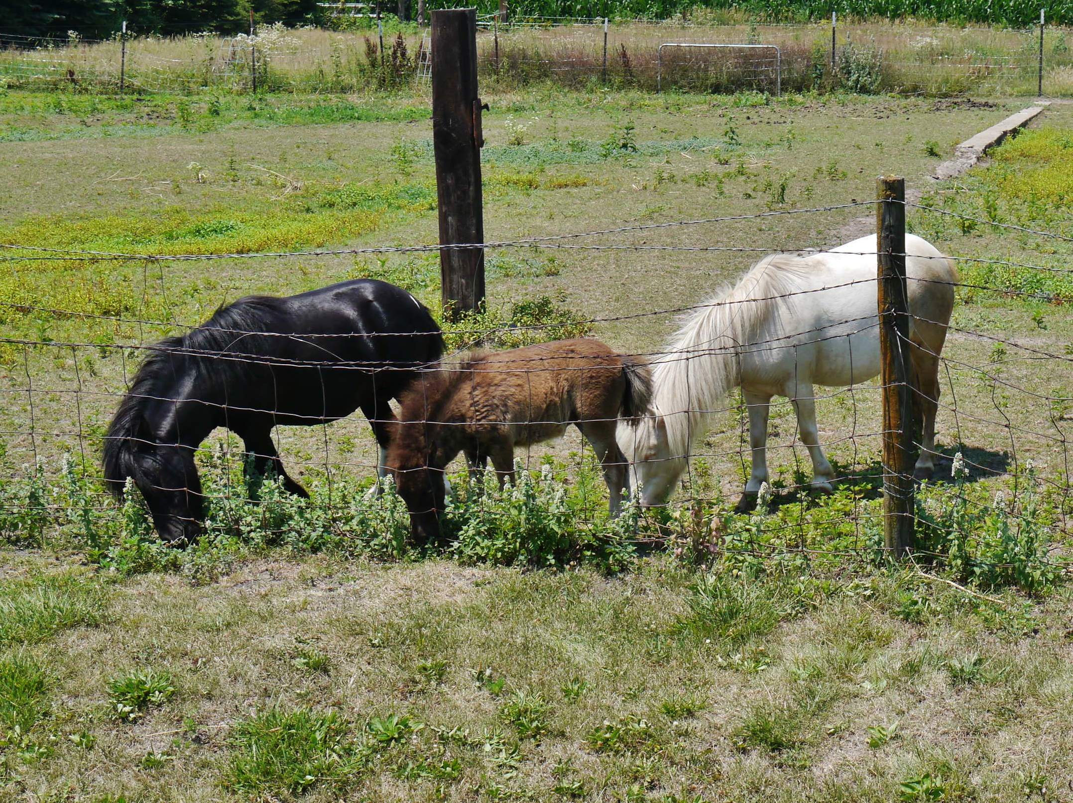
62912-207, Family of Miniature Horses
Topographic Map of th Blvd, Brighton, IA, USA
Find elevation by address:

Places near th Blvd, Brighton, IA, USA:
Walnut Ave, Brighton, IA, USA
Walnut
Lockridge
Jefferson
Wayland
N Washington St, Wayland, IA, USA
Lockridge
th Blvd, Lockridge, IA, USA
2111 290th St
Henry County
Westwood Dr, Mt Pleasant, IA, USA
Westwood
2451 Franklin Ave
Tippecanoe
S Main St, Mt Pleasant, IA, USA
Olds
Wayne
rd St, Mt Pleasant, IA, USA
Jefferson County
nd St, Mt Pleasant, IA, USA
Recent Searches:
- Elevation of Corso Fratelli Cairoli, 35, Macerata MC, Italy
- Elevation of Tallevast Rd, Sarasota, FL, USA
- Elevation of 4th St E, Sonoma, CA, USA
- Elevation of Black Hollow Rd, Pennsdale, PA, USA
- Elevation of Oakland Ave, Williamsport, PA, USA
- Elevation of Pedrógão Grande, Portugal
- Elevation of Klee Dr, Martinsburg, WV, USA
- Elevation of Via Roma, Pieranica CR, Italy
- Elevation of Tavkvetili Mountain, Georgia
- Elevation of Hartfords Bluff Cir, Mt Pleasant, SC, USA