Elevation of Lockridge, IA, USA
Location: United States > Iowa > Jefferson County >
Longitude: -91.773356
Latitude: 41.0459697
Elevation: 210m / 689feet
Barometric Pressure: 99KPa
Elevation Map:
Satellite Map:
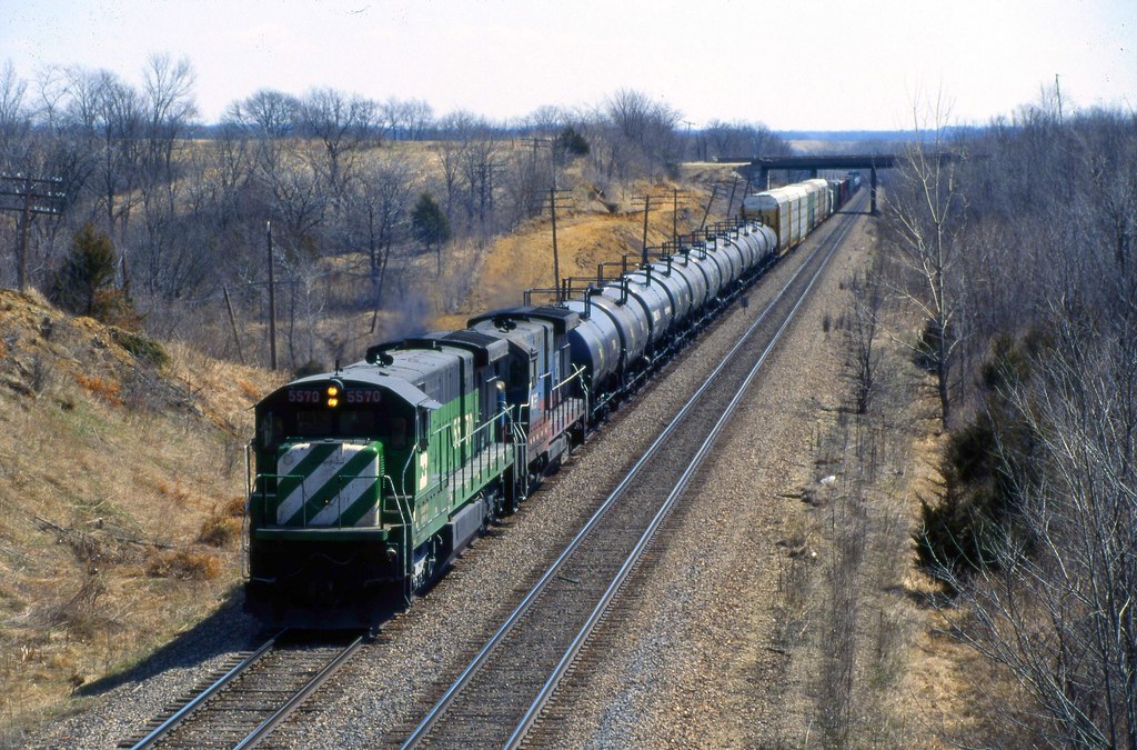
Related Photos:
A Look Back

Pollinating Partners
Bland Winter Landscape
2016:08:28 17:47:52 Flickr-026
2016:08:28 17:47:51 Flickr-025
When in Rome... Iowa
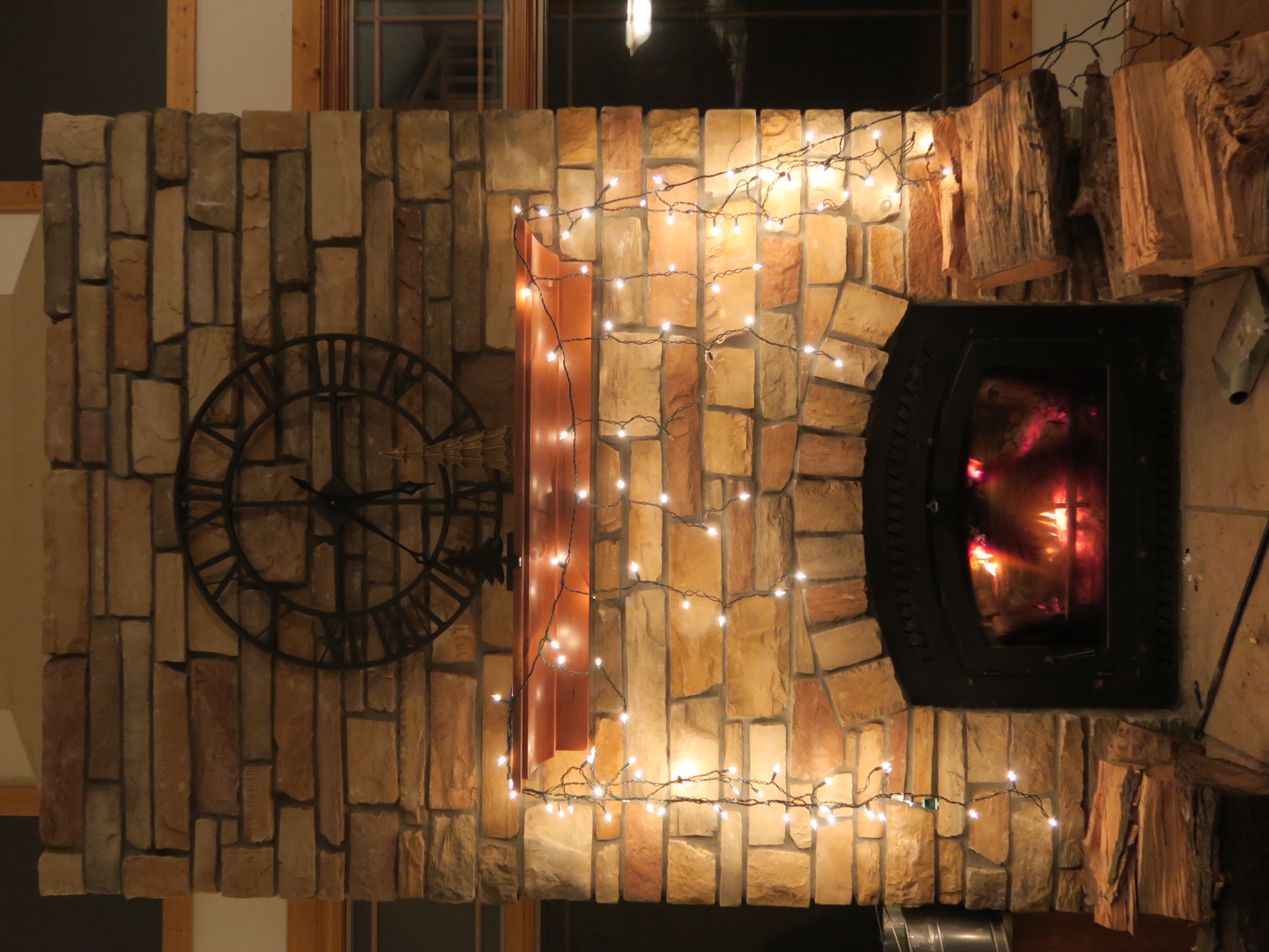
Icicle lights above fireplace

Fairfield, Iowa
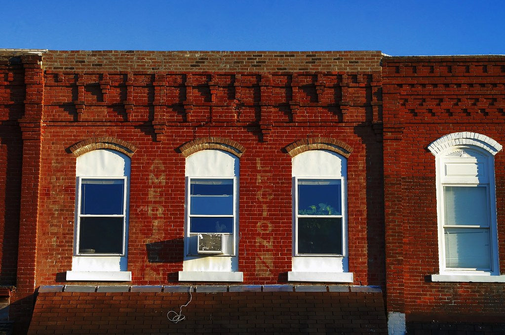
Warm bricks and ghosts

Random iPhoto's

Random iPhoto's

Random iPhoto's

Random iPhoto's

Random iPhoto's

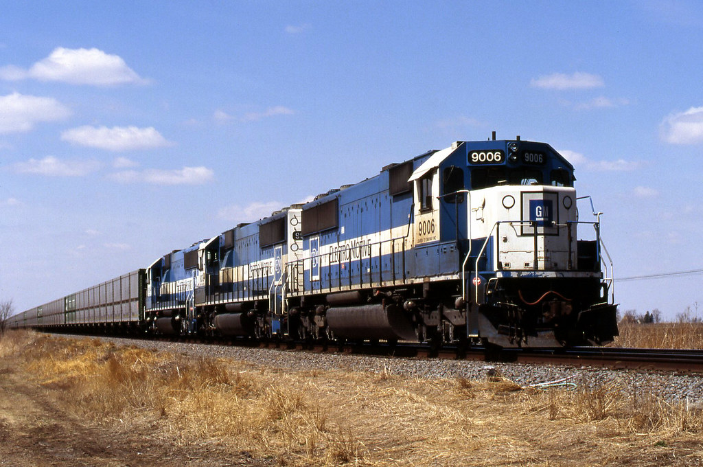
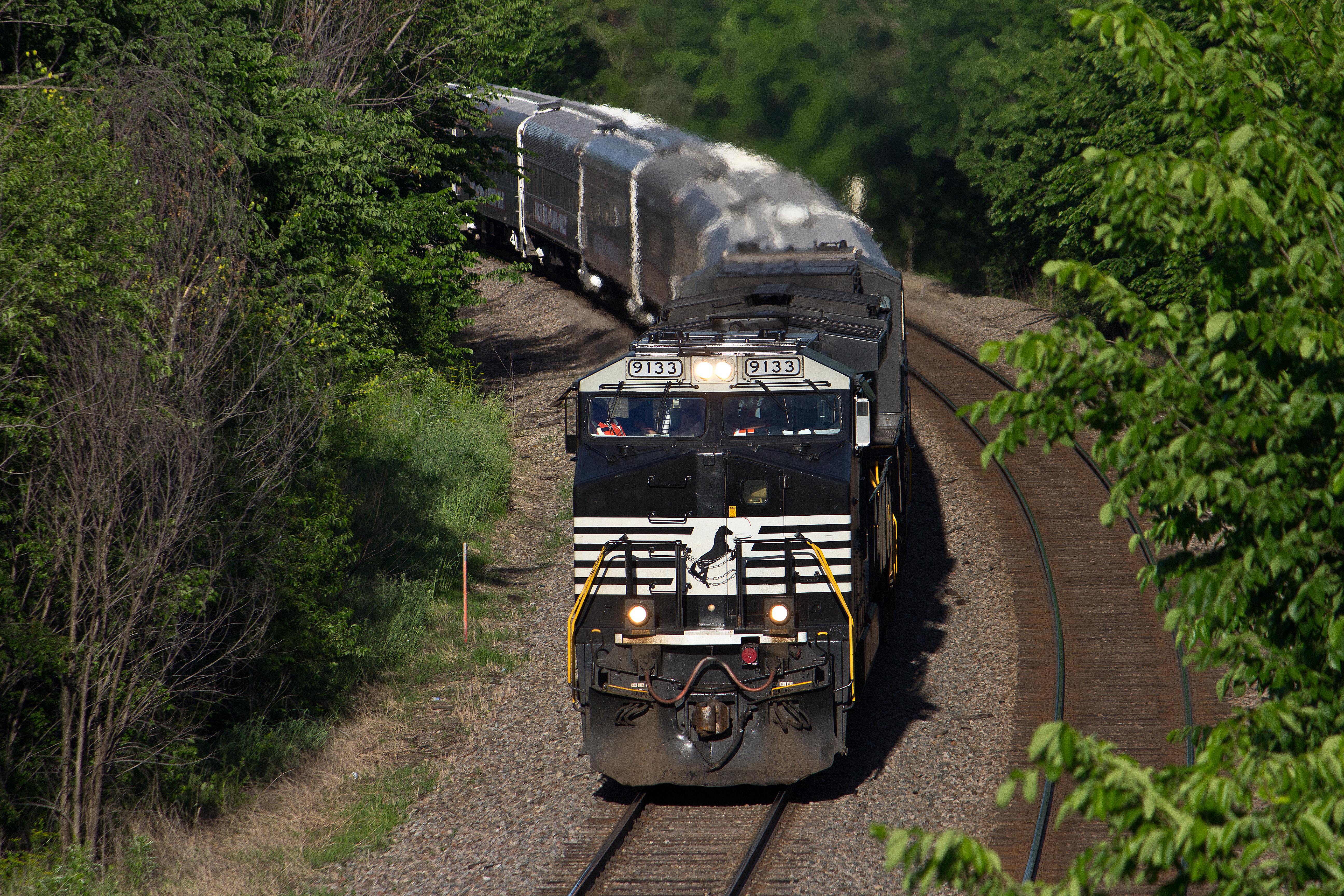
BNSF 6328 Eastbound CBTMPHP West of Lockridge IA

morning glory

a lonely swan

inconclusive conversations

Proof we went outside today.
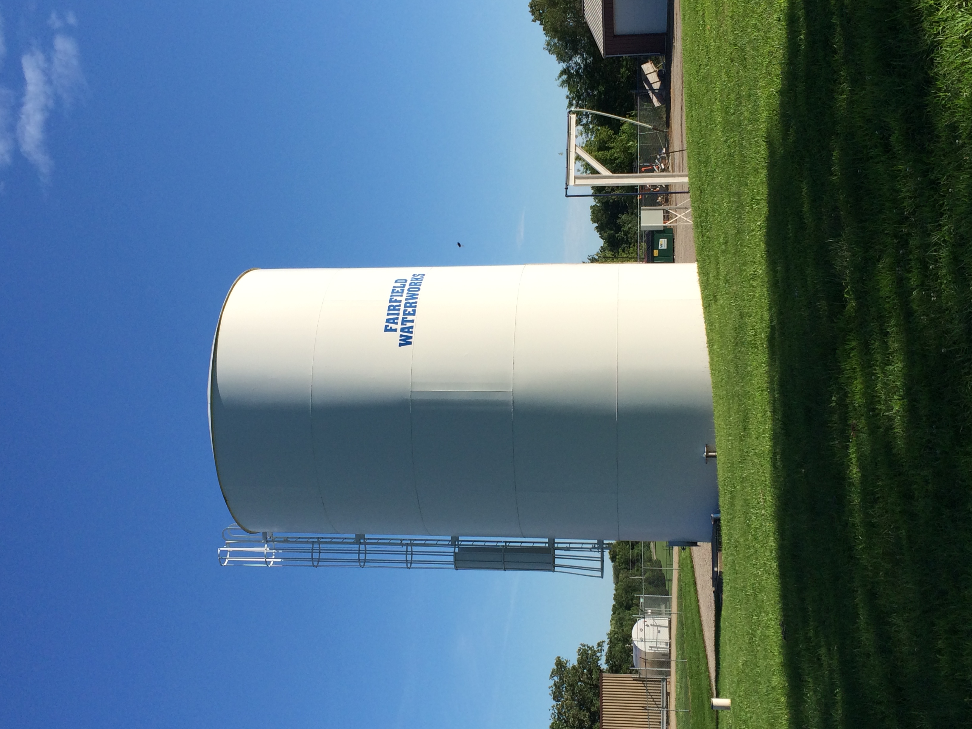
Fairfield Waterworks
Topographic Map of Lockridge, IA, USA
Find elevation by address:

Places in Lockridge, IA, USA:
Places near Lockridge, IA, USA:
Walnut Ave, Brighton, IA, USA
Lockridge
th Blvd, Lockridge, IA, USA
th Blvd, Brighton, IA, USA
Walnut
Jefferson County
Jefferson
Wayland
N Washington St, Wayland, IA, USA
Tippecanoe
Westwood
Westwood Dr, Mt Pleasant, IA, USA
Henry County
2451 Franklin Ave
nd St, Mt Pleasant, IA, USA
2111 290th St
rd St, Mt Pleasant, IA, USA
54 E Briggs Ave, Fairfield, IA, USA
Fairfield
500 N 3rd St
Recent Searches:
- Elevation of Corso Fratelli Cairoli, 35, Macerata MC, Italy
- Elevation of Tallevast Rd, Sarasota, FL, USA
- Elevation of 4th St E, Sonoma, CA, USA
- Elevation of Black Hollow Rd, Pennsdale, PA, USA
- Elevation of Oakland Ave, Williamsport, PA, USA
- Elevation of Pedrógão Grande, Portugal
- Elevation of Klee Dr, Martinsburg, WV, USA
- Elevation of Via Roma, Pieranica CR, Italy
- Elevation of Tavkvetili Mountain, Georgia
- Elevation of Hartfords Bluff Cir, Mt Pleasant, SC, USA