Elevation of Wallace, WV, USA
Location: United States > West Virginia > Harrison County > Northern >
Longitude: -80.489814
Latitude: 39.4095308
Elevation: 312m / 1024feet
Barometric Pressure: 98KPa
Elevation Map:
Satellite Map:
Related Photos:
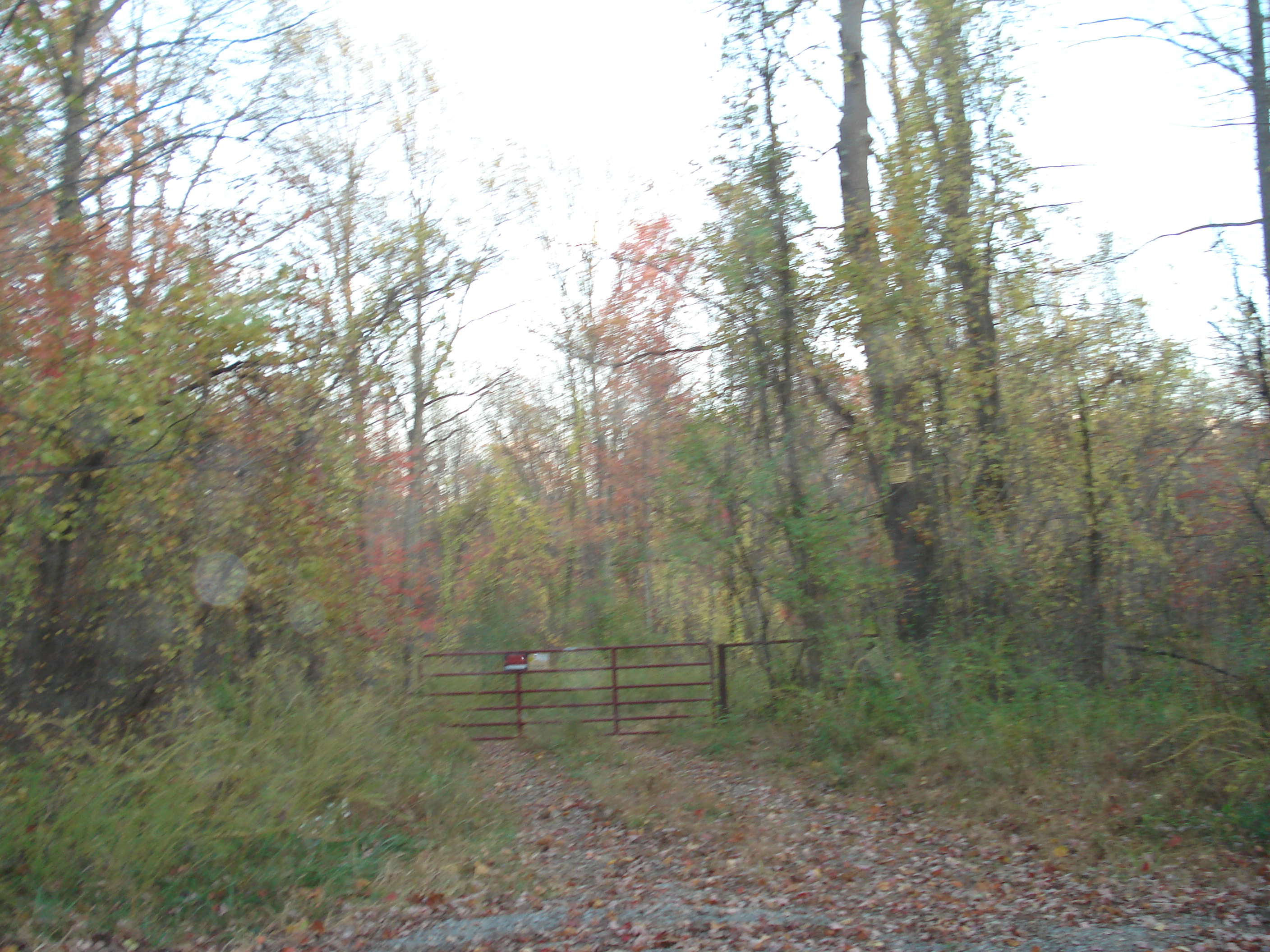
View from Dawson Mines Road
From my morning run. Yes I went in there. It was a Raiders of the Lost Ark moment

Haunted Flinderation Tunnel
Curtisville Pavillion and Campground
dam panoramic shot
Dawson Road
dam trees not in the way any more
i failed her myers-briggs test. quiet sights on dusty WV country roads.
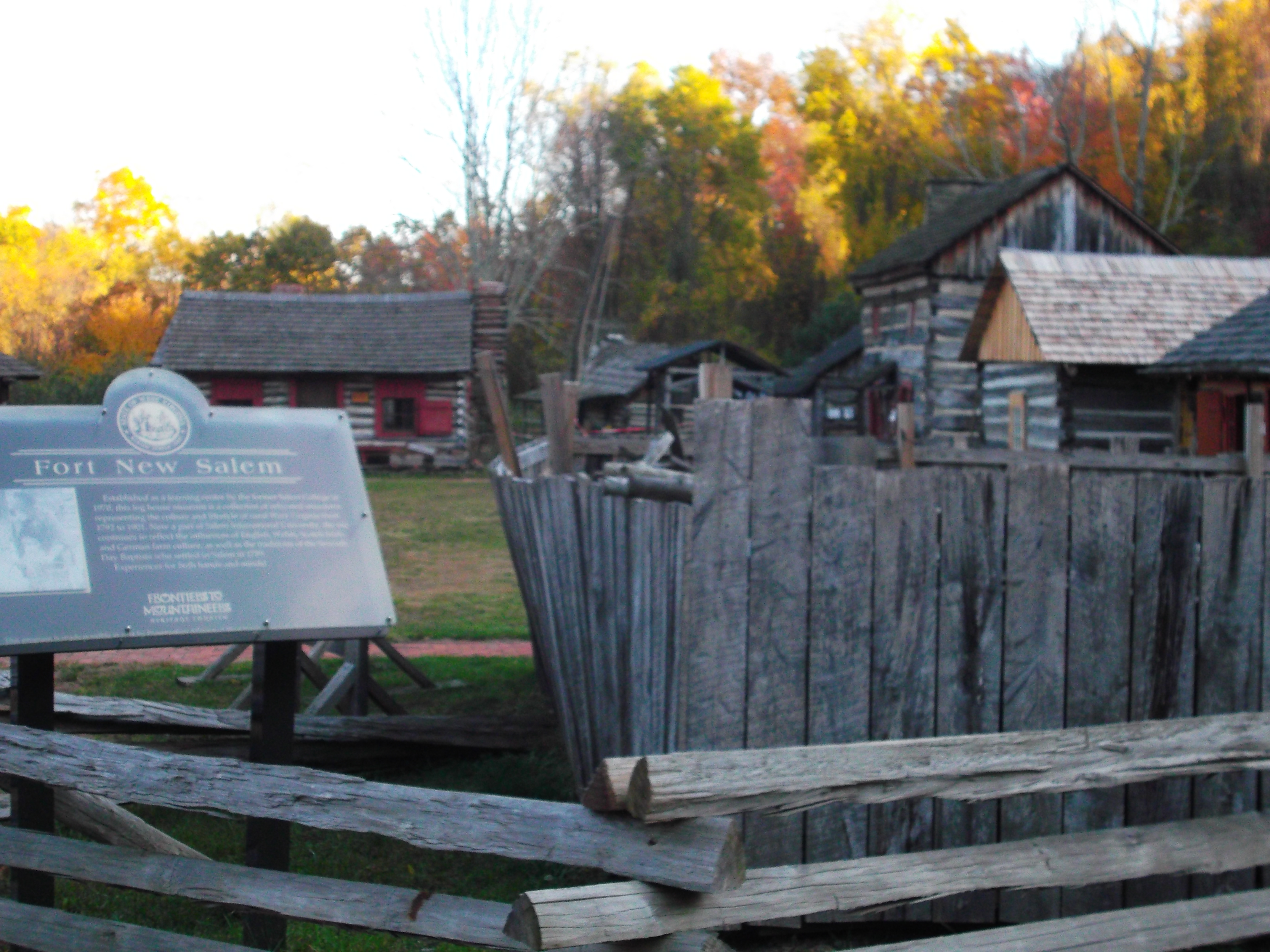
Fort New Salem
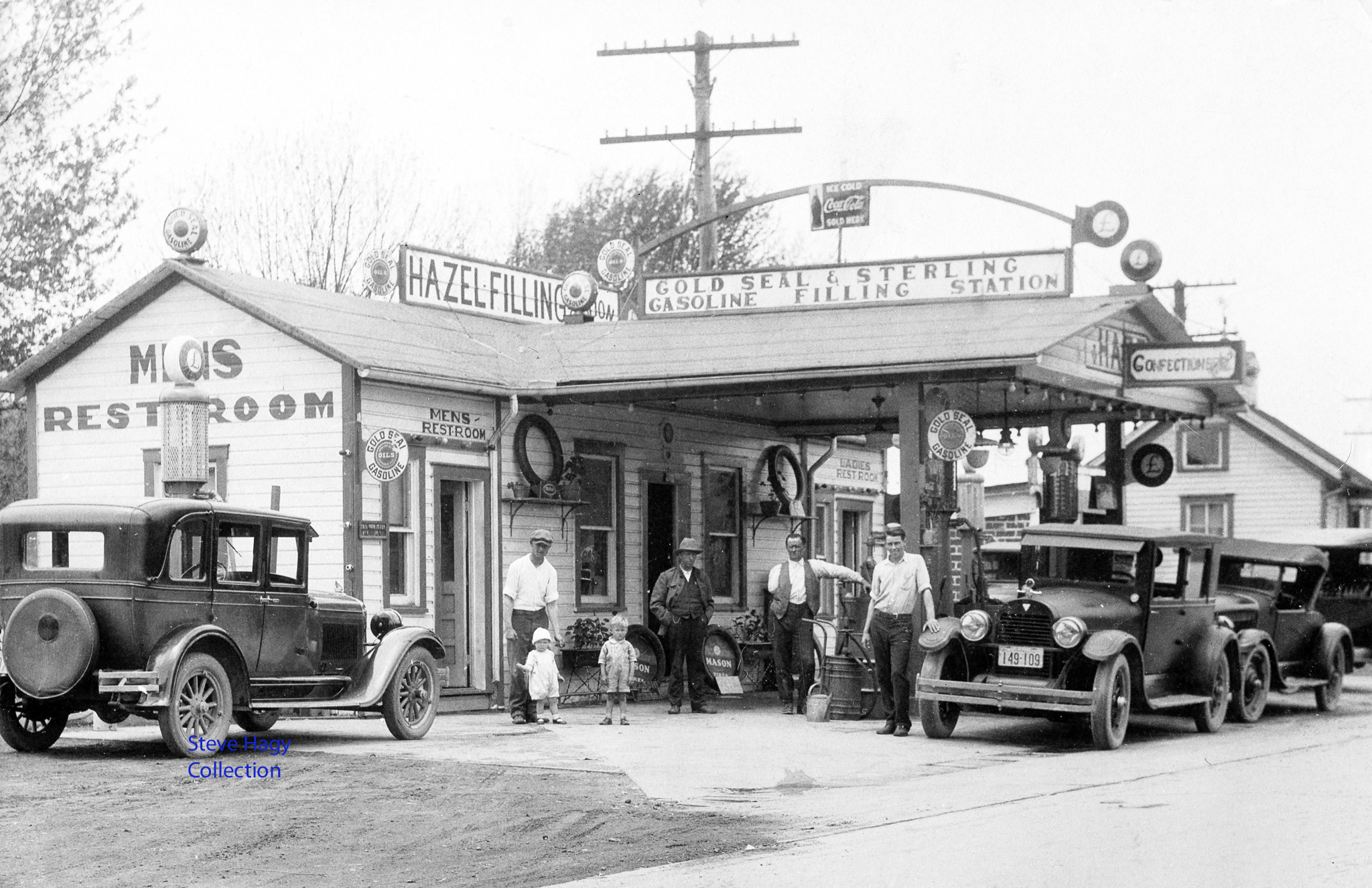
Hazel Filling Station - West Virginia
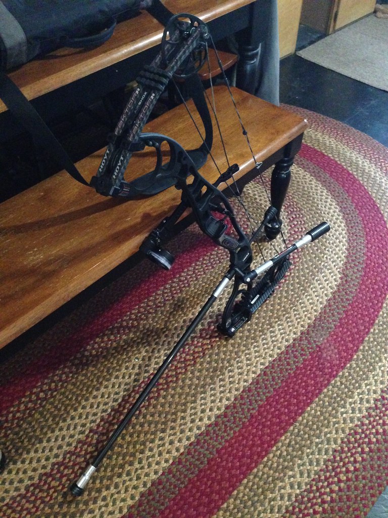
Hoyt Faktor 34

Spot League at the Bowshop
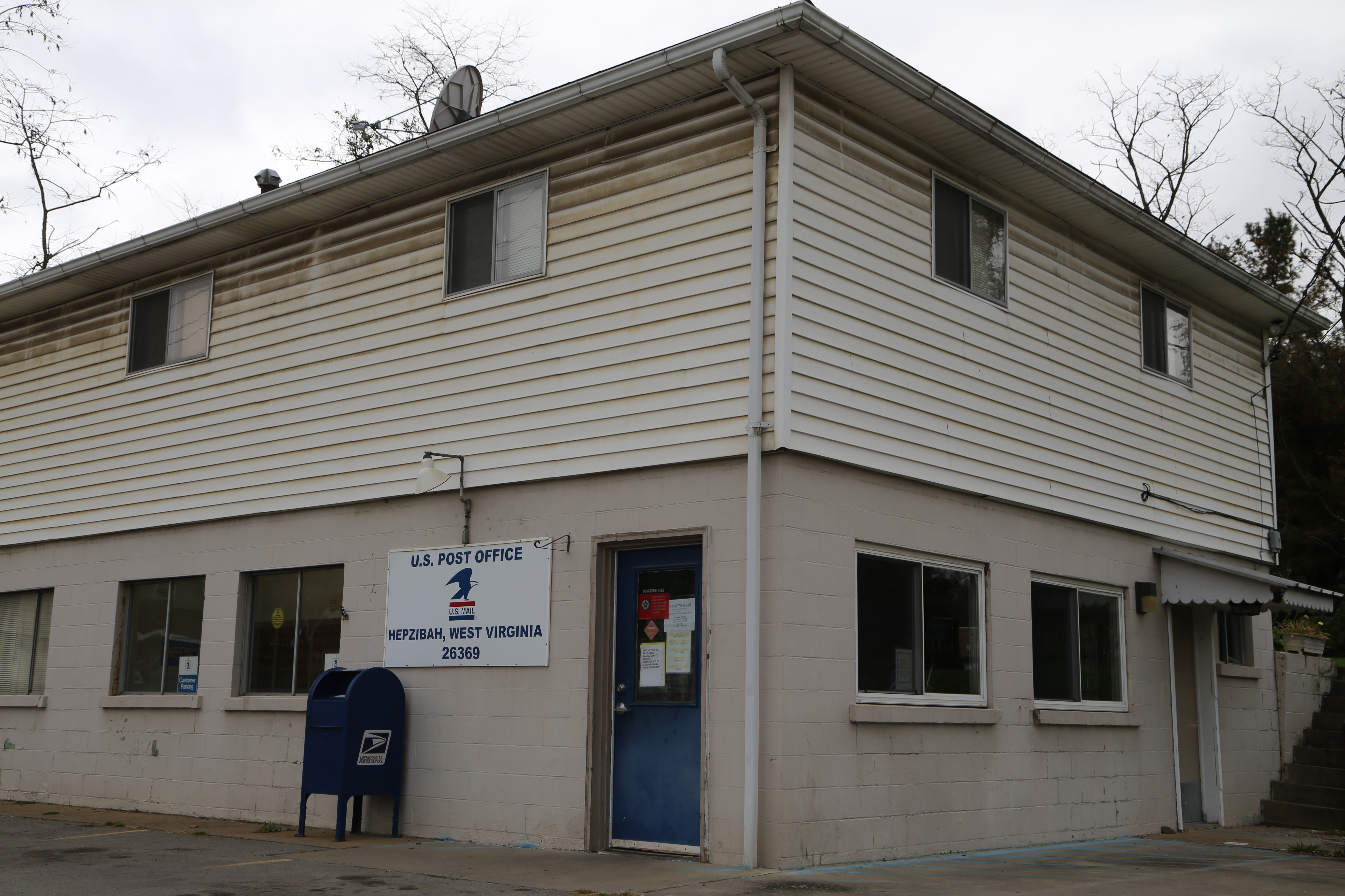
Hepzibah West Virginia, Post Office, 26369, Harrison County WV
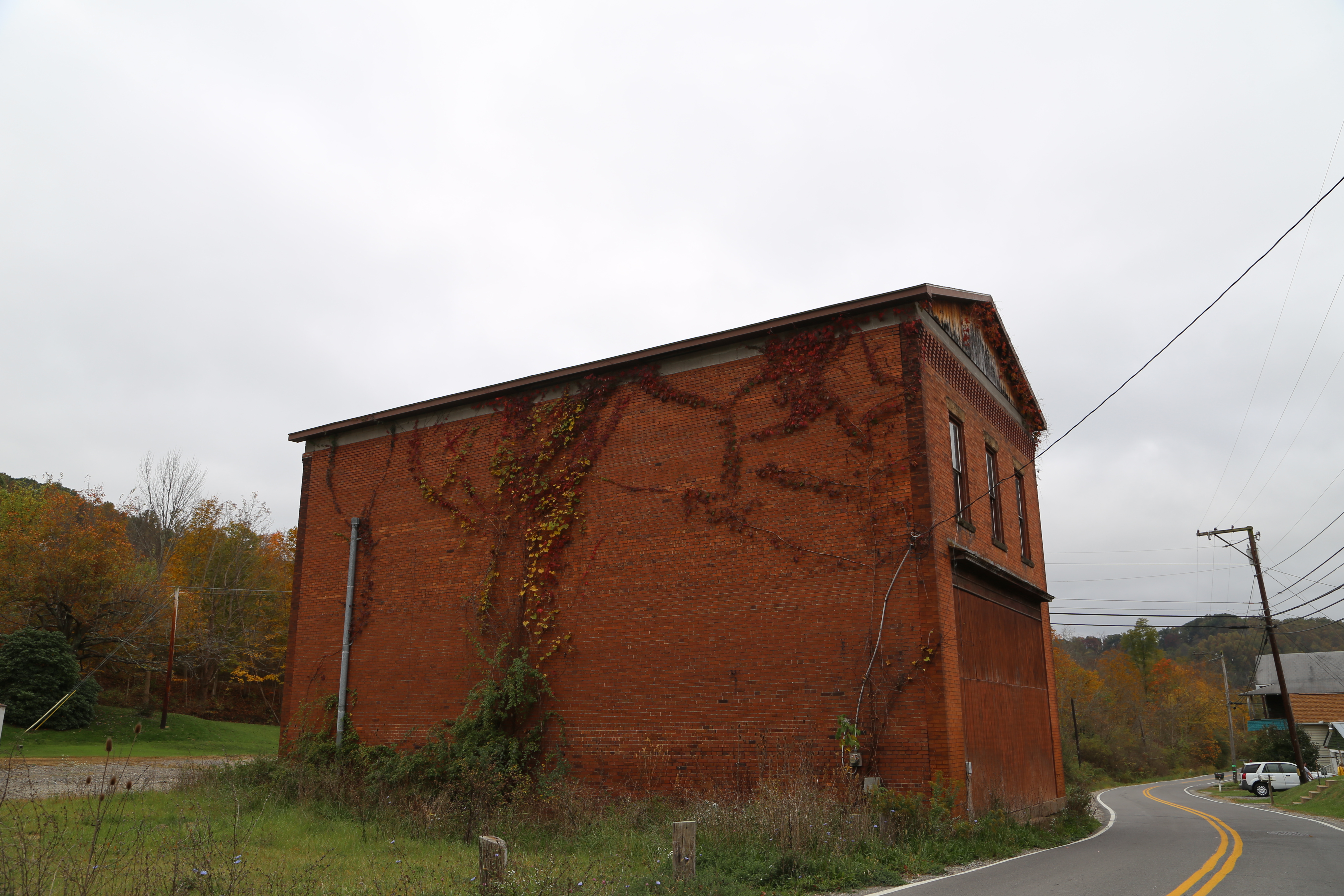
Wolf Summit West Virginia, Harrison County WV
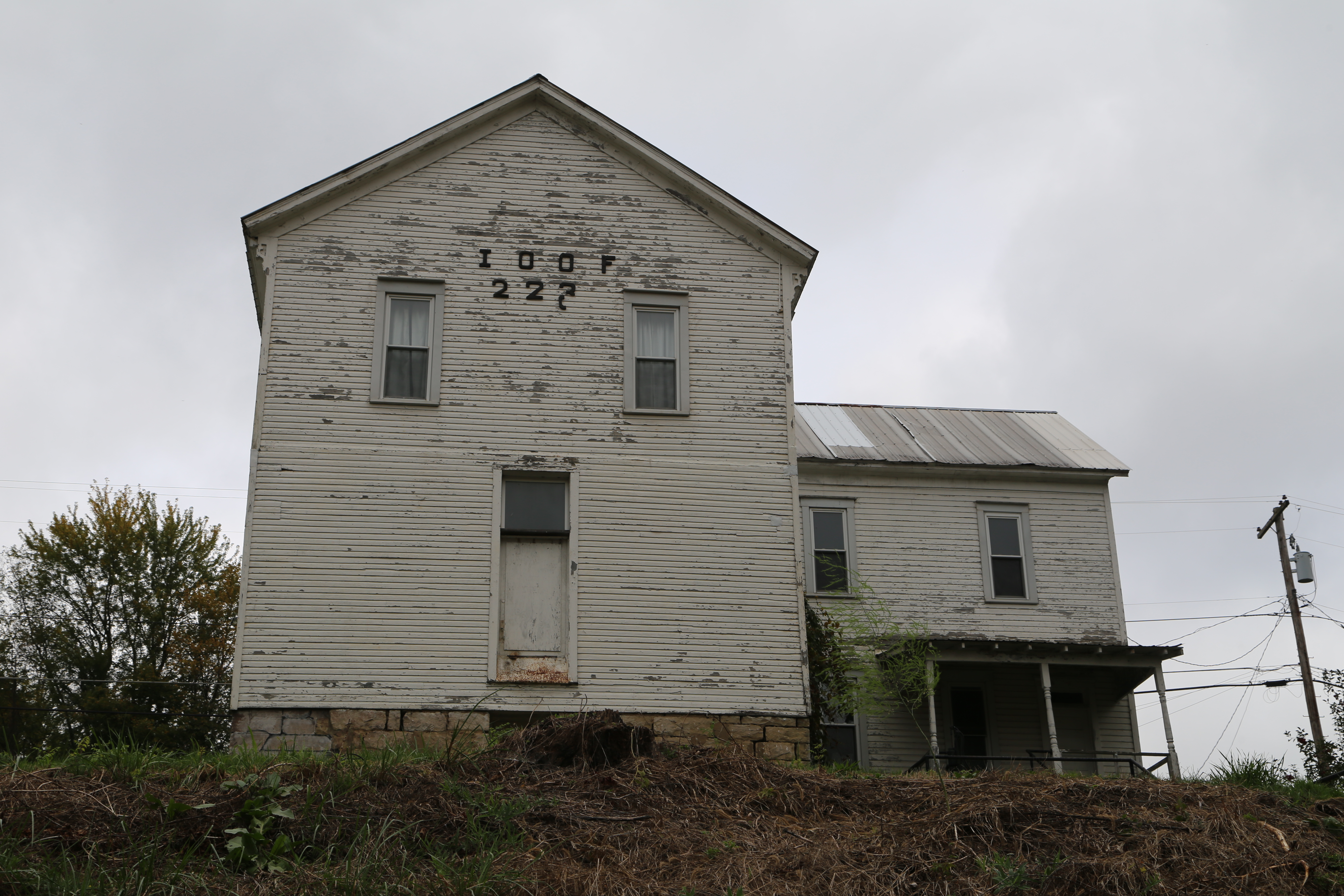
Wolf Summit West Virginia, IOOF, Harrison County WV

Lake Floyd Swimming Area
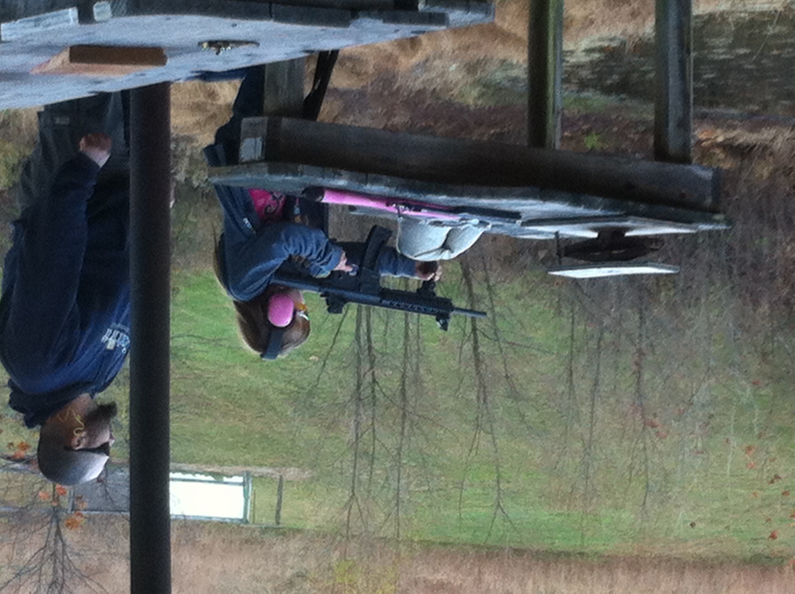
gun girl
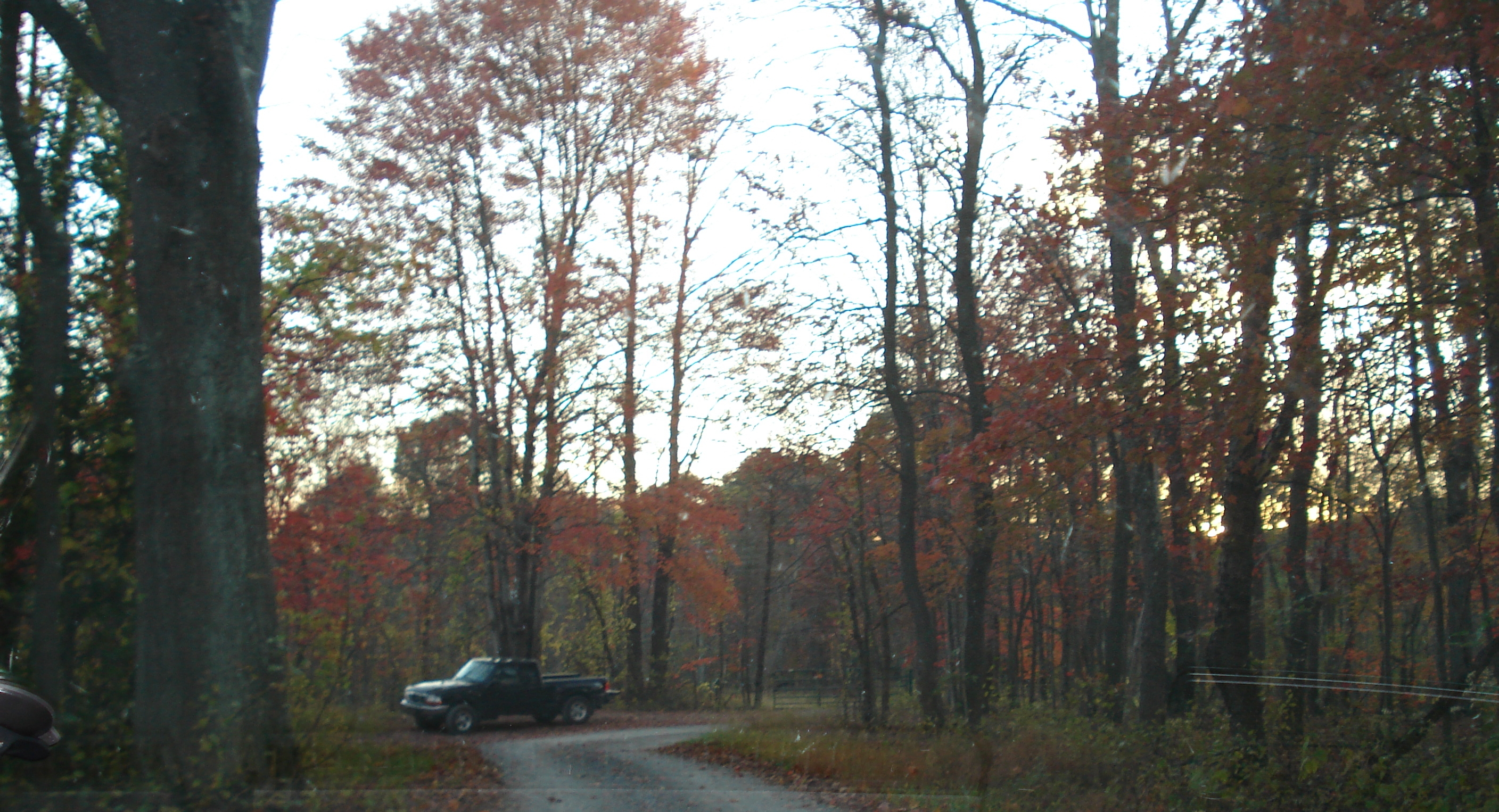
Dawson Road
Dawson Road
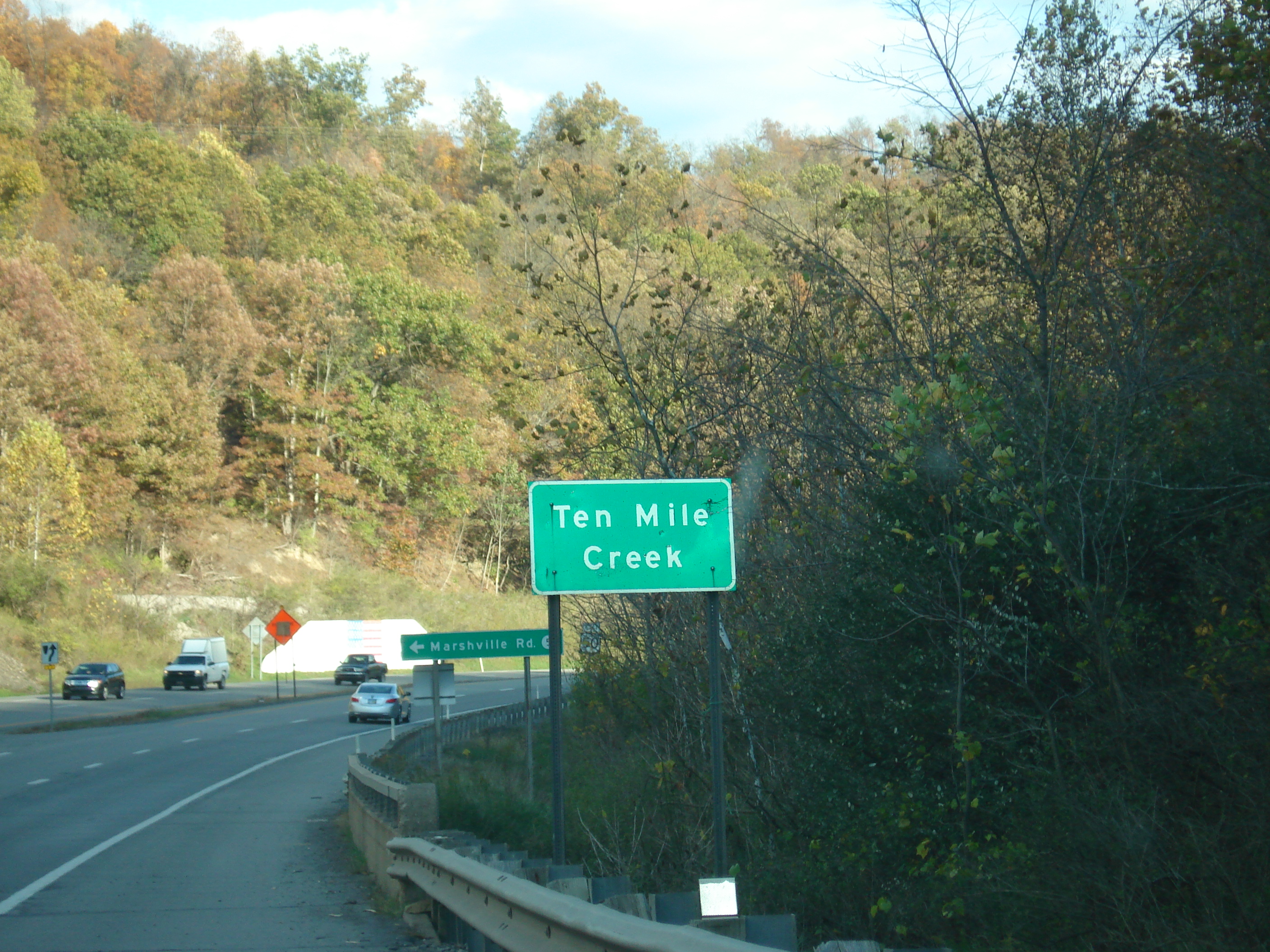
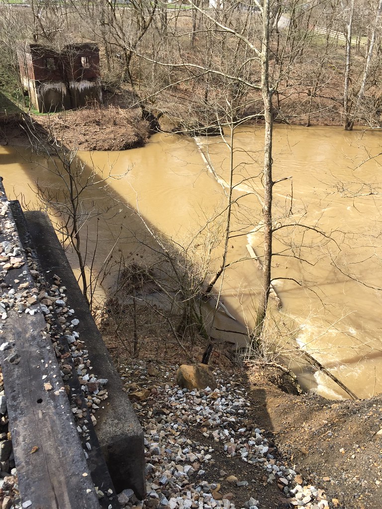
Ten Mile Creek

Danny and I

Salem Auxiliary Lake

IGA, Salem - Healthy Checkout Partner
Topographic Map of Wallace, WV, USA
Find elevation by address:

Places in Wallace, WV, USA:
Places near Wallace, WV, USA:
Wallace Pike, Wallace, WV, USA
Joetown Rd, Mannington, WV, USA
Northern
Curtisville Pike, Mannington, WV, USA
235 Curtisville Pike
Robinson-wyatt Run Road
Lucas Rd, Shinnston, WV, USA
Flaggy Meadow Dr, Mannington, WV, USA
1352 Co Rd 4/8
Furbee Avenue
Water St, Mannington, WV, USA
Mannington
Shinnston
West Augusta
3057 Hood Avenue
24 Co Rte 19/1
24 Co Rte 19/1
41 Crown St, Worthington, WV, USA
37 Second St
910 Janes Hill Rd
Recent Searches:
- Elevation of Corso Fratelli Cairoli, 35, Macerata MC, Italy
- Elevation of Tallevast Rd, Sarasota, FL, USA
- Elevation of 4th St E, Sonoma, CA, USA
- Elevation of Black Hollow Rd, Pennsdale, PA, USA
- Elevation of Oakland Ave, Williamsport, PA, USA
- Elevation of Pedrógão Grande, Portugal
- Elevation of Klee Dr, Martinsburg, WV, USA
- Elevation of Via Roma, Pieranica CR, Italy
- Elevation of Tavkvetili Mountain, Georgia
- Elevation of Hartfords Bluff Cir, Mt Pleasant, SC, USA