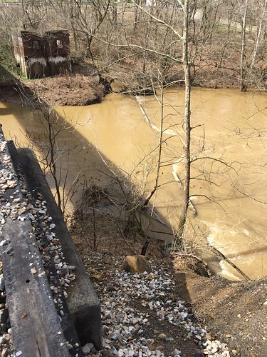
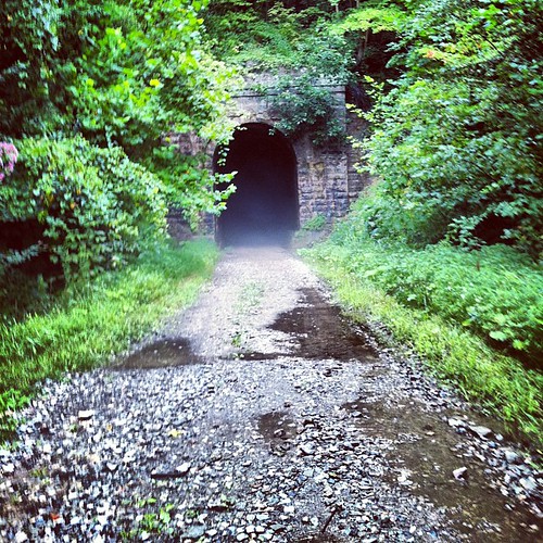
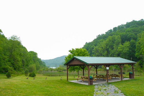
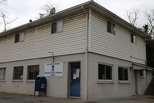
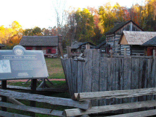
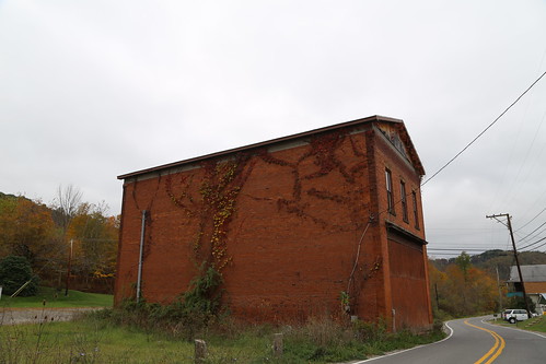
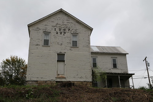
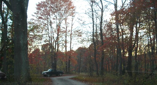
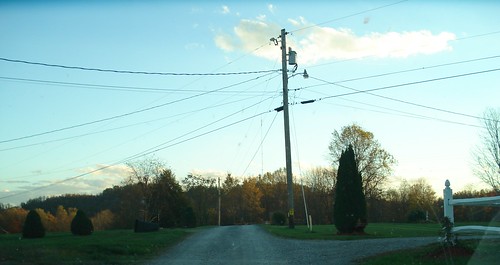
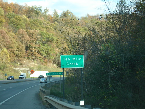
Elevation of Wallace Pike, Wallace, WV, USA
Location: United States > West Virginia > Harrison County > Northern > Wallace >
Longitude: -80.490101
Latitude: 39.4097571
Elevation: 308m / 1010feet
Barometric Pressure: 98KPa
Related Photos:
Topographic Map of Wallace Pike, Wallace, WV, USA
Find elevation by address:

Places near Wallace Pike, Wallace, WV, USA:
Wallace
Joetown Rd, Mannington, WV, USA
Northern
Curtisville Pike, Mannington, WV, USA
235 Curtisville Pike
Robinson-wyatt Run Road
Lucas Rd, Shinnston, WV, USA
Flaggy Meadow Dr, Mannington, WV, USA
1352 Co Rd 4/8
Furbee Avenue
Water St, Mannington, WV, USA
Mannington
Shinnston
West Augusta
3057 Hood Avenue
24 Co Rte 19/1
24 Co Rte 19/1
41 Crown St, Worthington, WV, USA
37 Second St
910 Janes Hill Rd
Recent Searches:
- Elevation of Corso Fratelli Cairoli, 35, Macerata MC, Italy
- Elevation of Tallevast Rd, Sarasota, FL, USA
- Elevation of 4th St E, Sonoma, CA, USA
- Elevation of Black Hollow Rd, Pennsdale, PA, USA
- Elevation of Oakland Ave, Williamsport, PA, USA
- Elevation of Pedrógão Grande, Portugal
- Elevation of Klee Dr, Martinsburg, WV, USA
- Elevation of Via Roma, Pieranica CR, Italy
- Elevation of Tavkvetili Mountain, Georgia
- Elevation of Hartfords Bluff Cir, Mt Pleasant, SC, USA


