Elevation of Flaggy Meadow Dr, Mannington, WV, USA
Location: United States > West Virginia > Marion County > West Augusta > Mannington >
Longitude: -80.352221
Latitude: 39.481843
Elevation: 328m / 1076feet
Barometric Pressure: 97KPa
Elevation Map:
Satellite Map:
Related Photos:
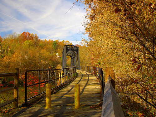
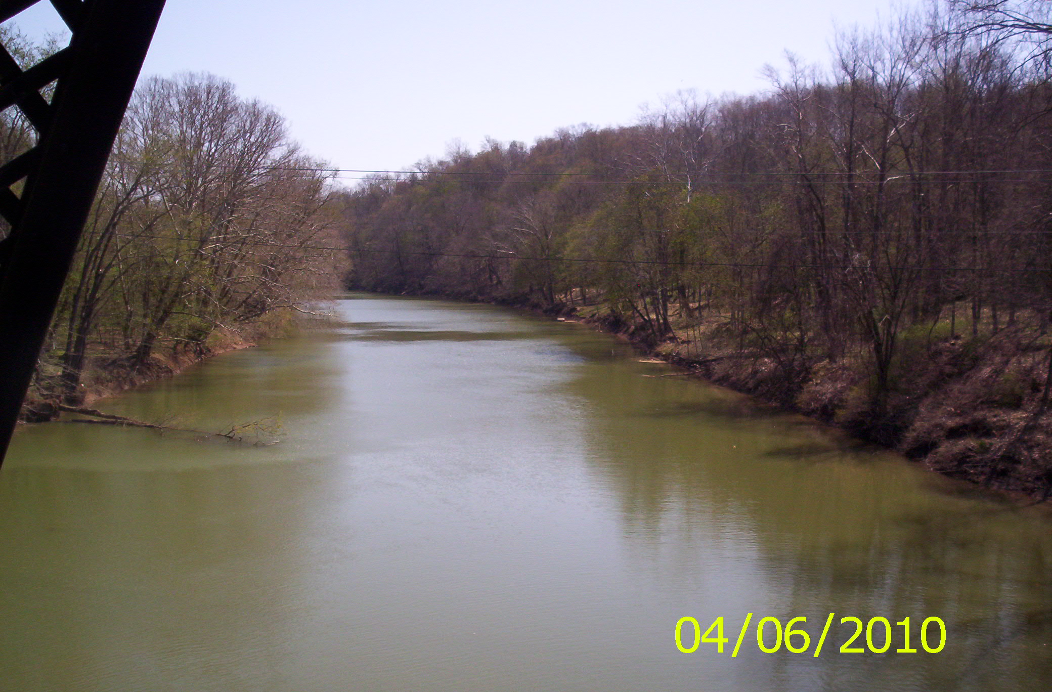
West Fork River Trail

West Virginia ~ Monongah
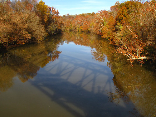
Shadows & Reflections
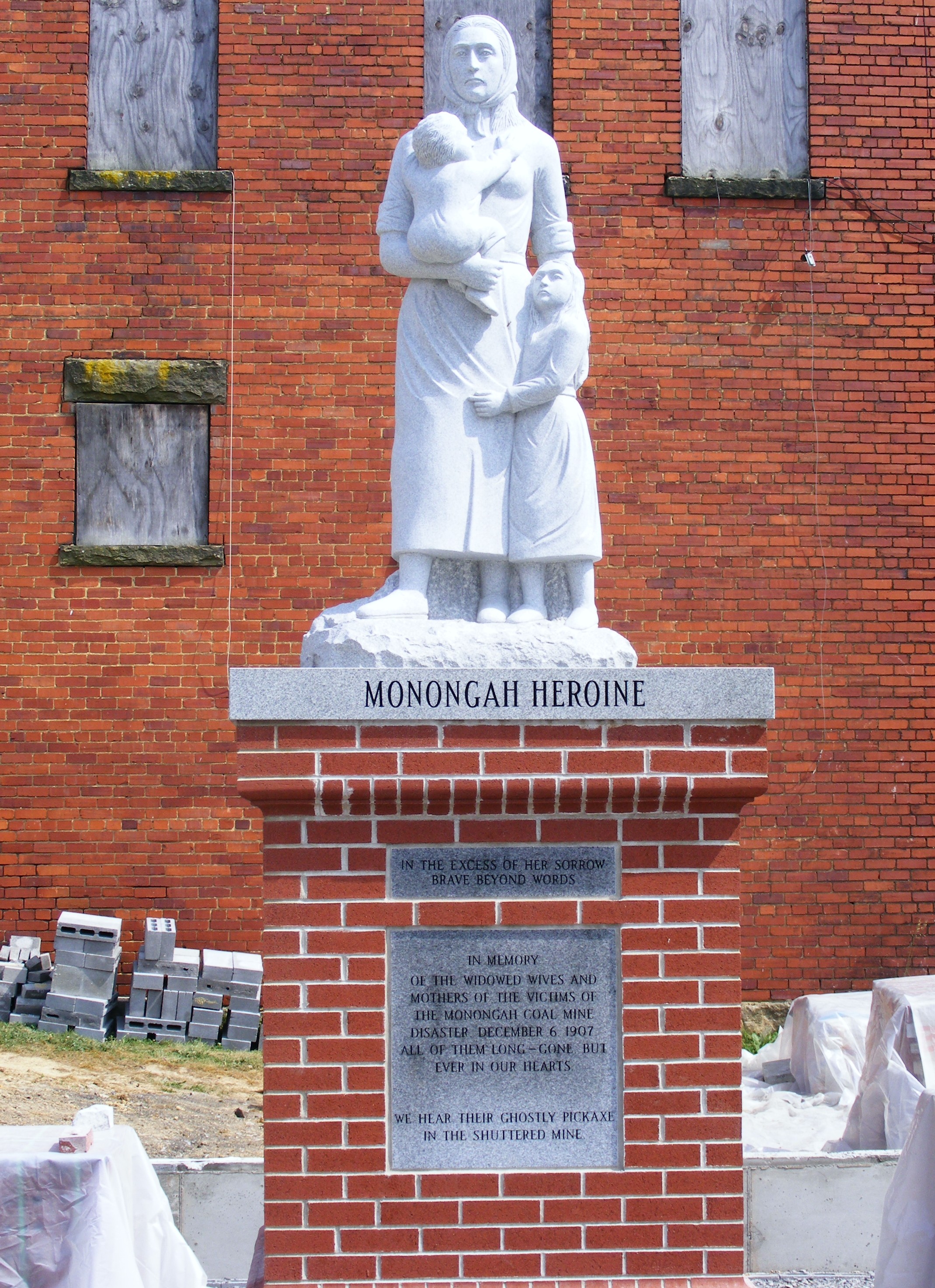
Monongah Heroine
Mannington Elementary
West Fork River Trail 36
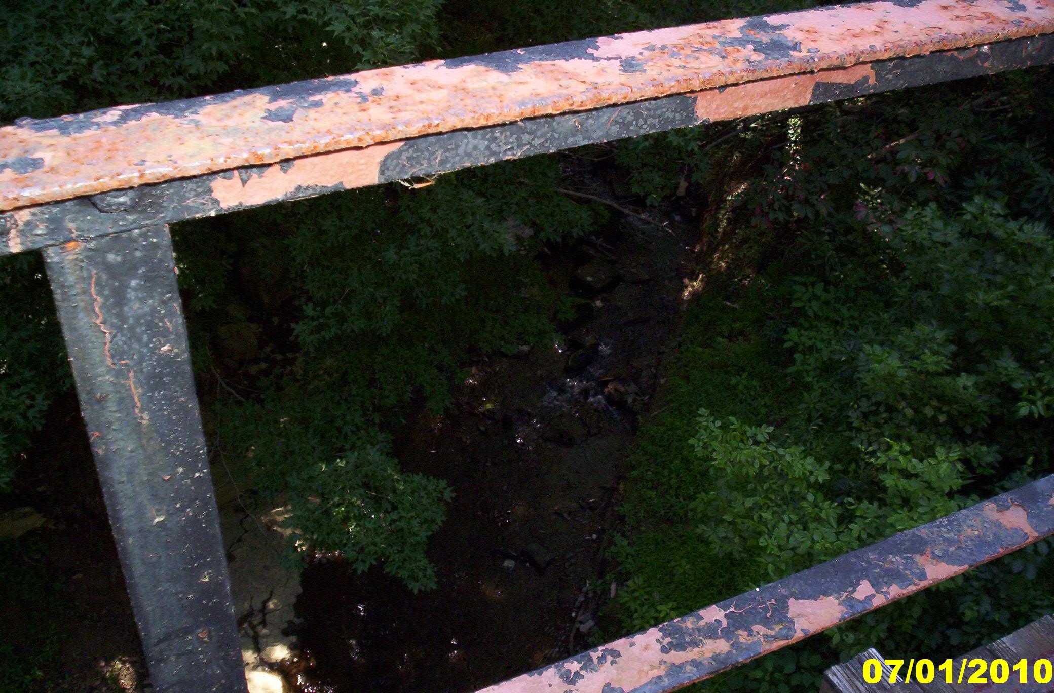
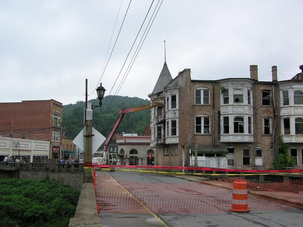
Creek View of Abandoned Building, Water St

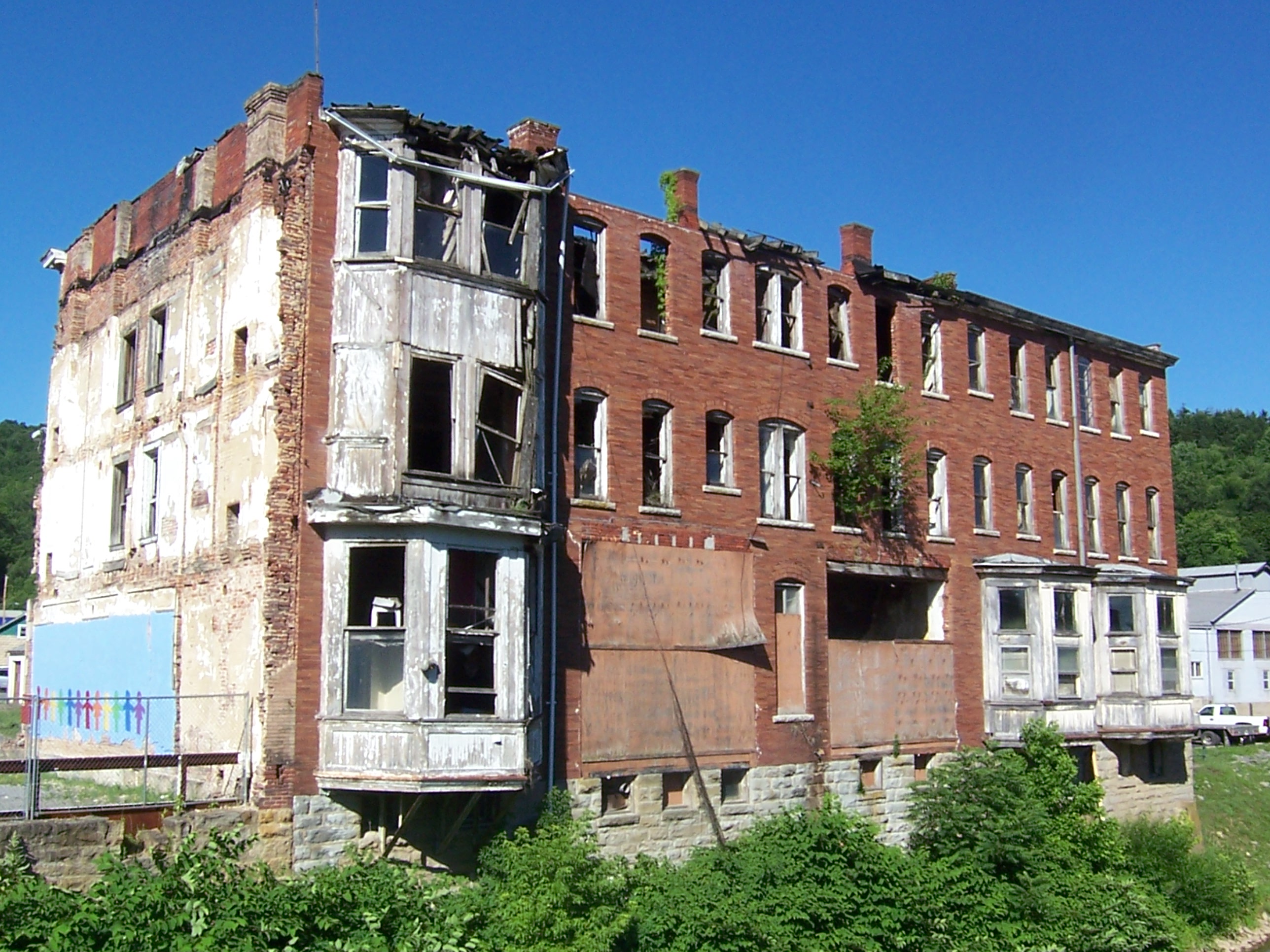
Rainbow View of Abandoned Building, Water St
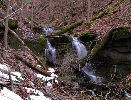
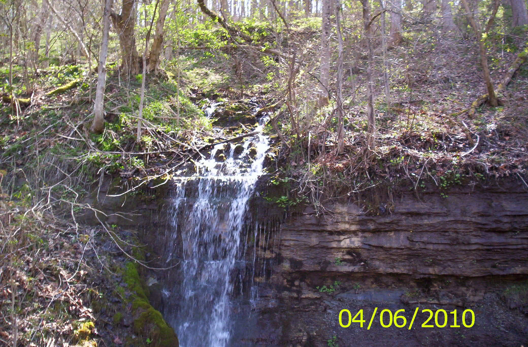
Nearest Waterfall
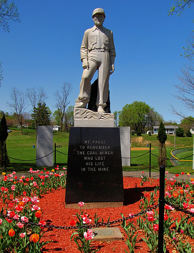
Pause to Remember
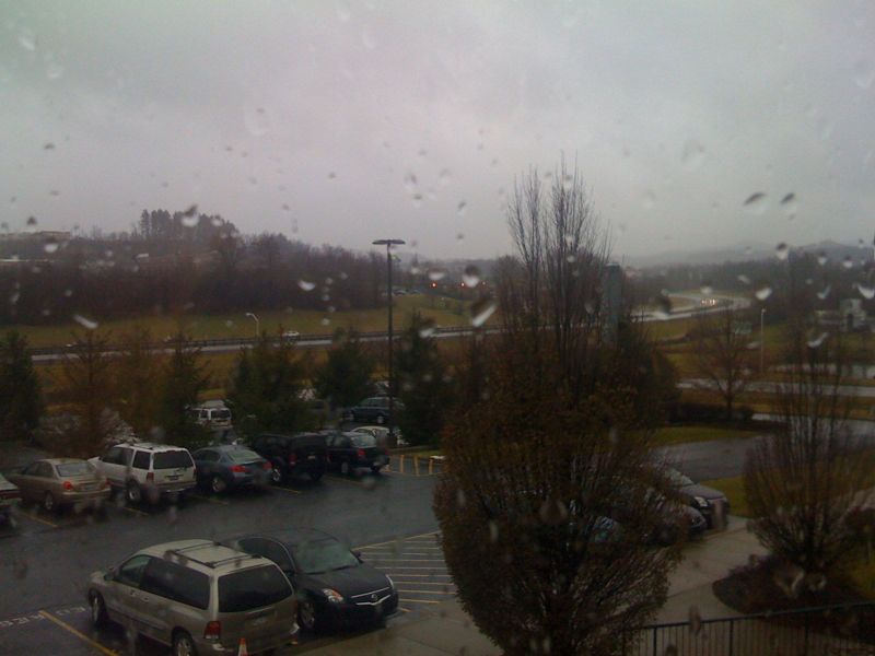
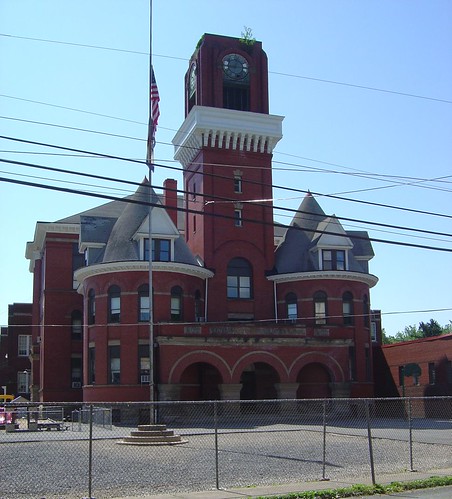
Office view

For All My Flickr Friends
2004-07-10-p7120051

2004-07-10-p7120048
mannington_a-2000-11-23-02
West Fork River Trail 49

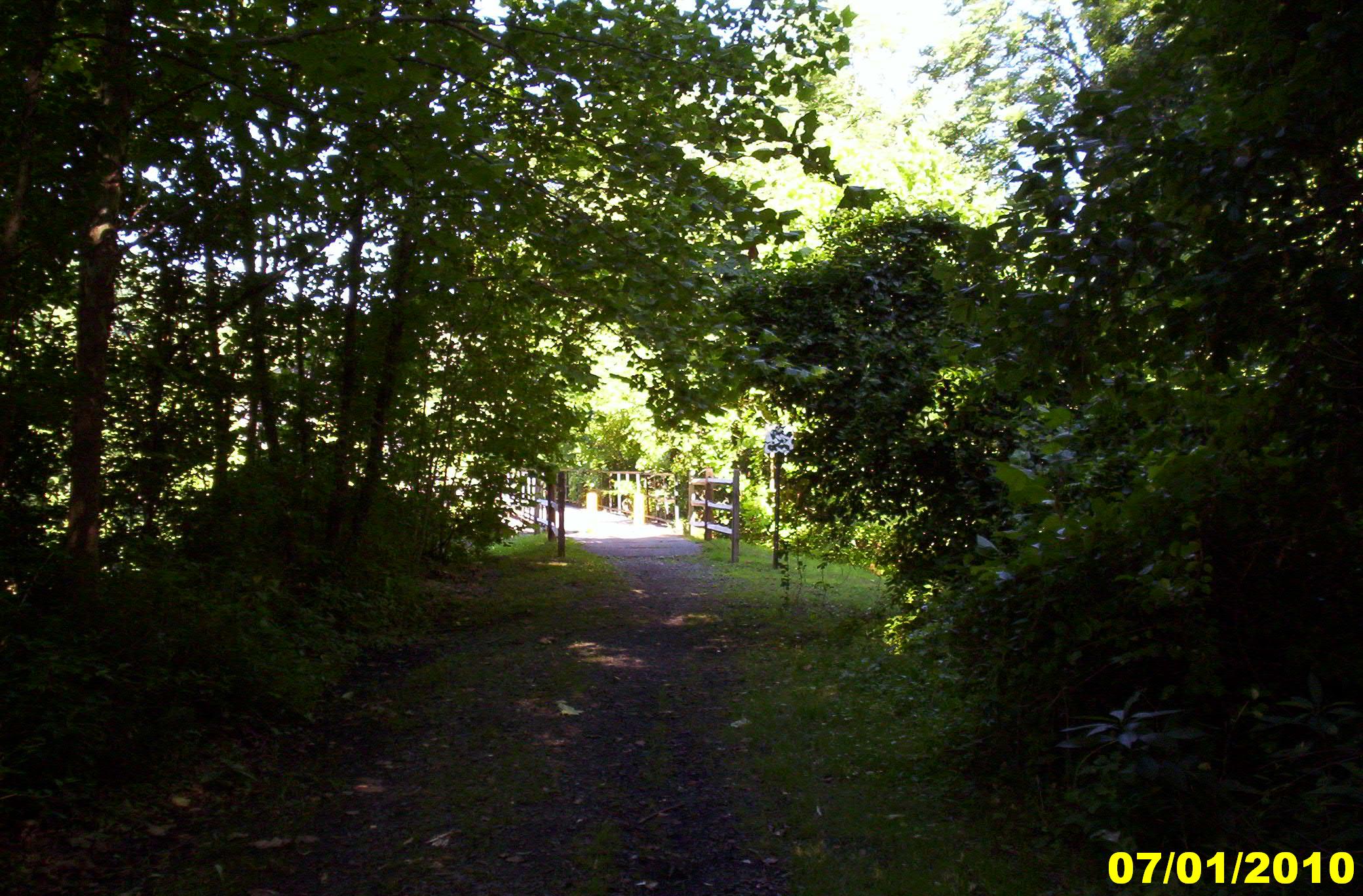
step in to the light
West Fork River Trail 9
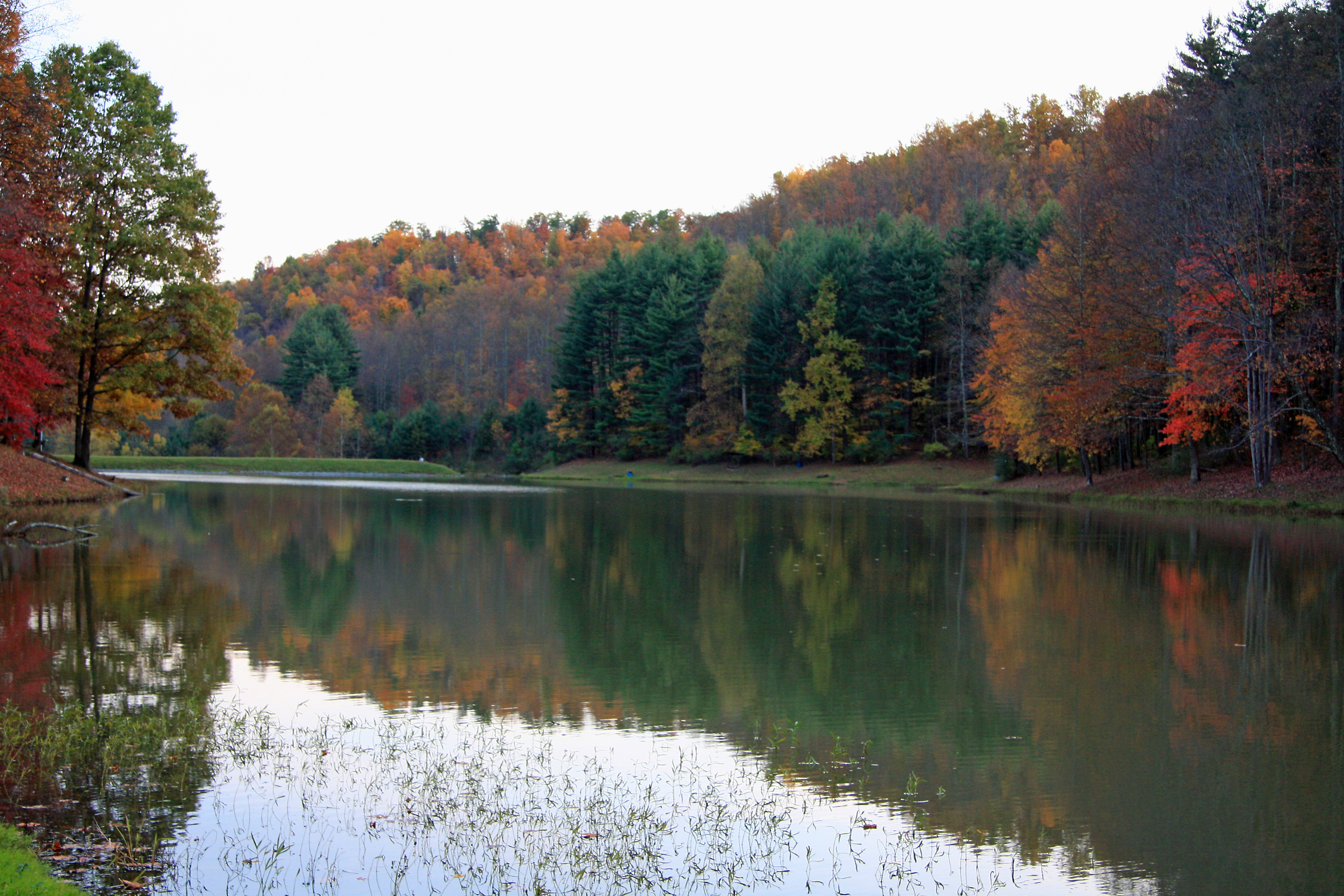
Rachel Lake
West Fork River Trail 33
West Fork River Trail 20
West Fork River Trail 15

NASA Boulevard Sunrise
West Fork River Trail 24

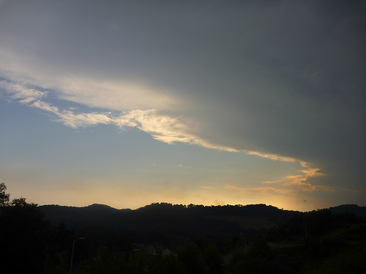
Fairmont WV Sunrise
huff and puff
Fairmont WV Evening
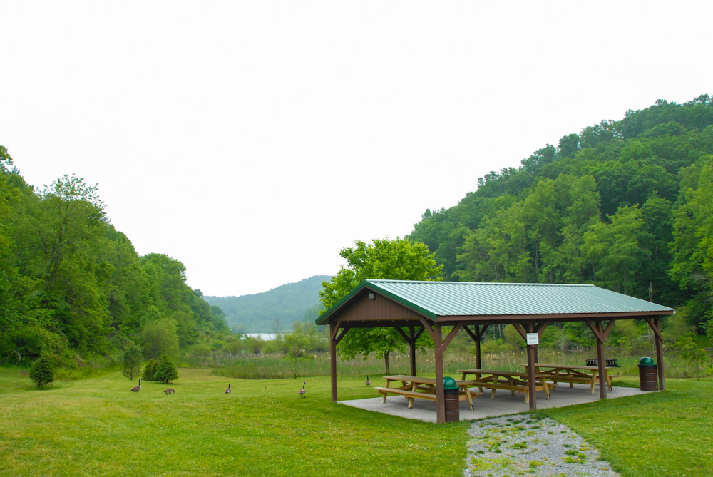
Curtisville Pavillion and Campground
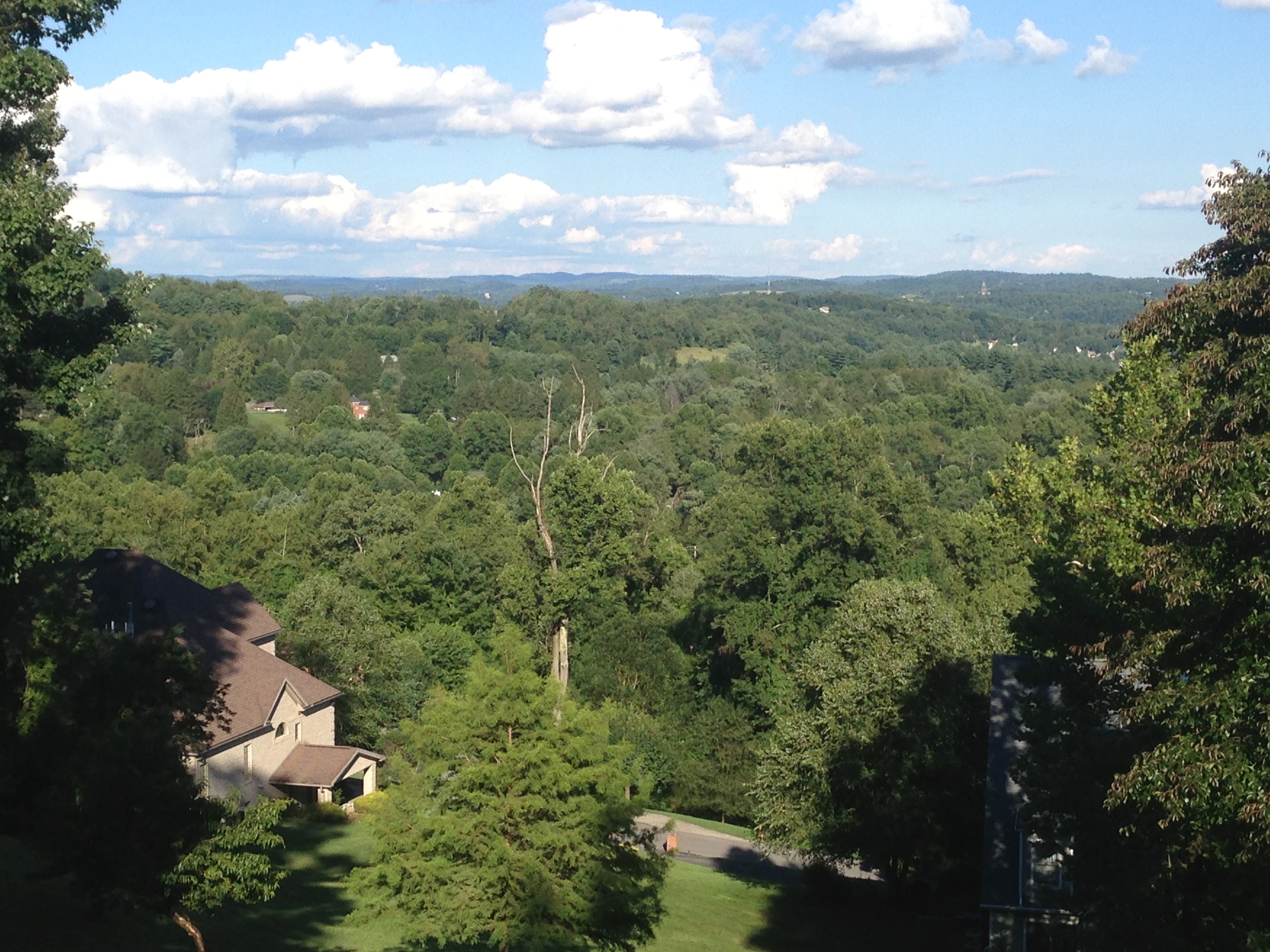
Fairmont hills
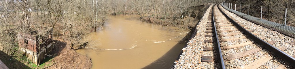
dam panoramic shot
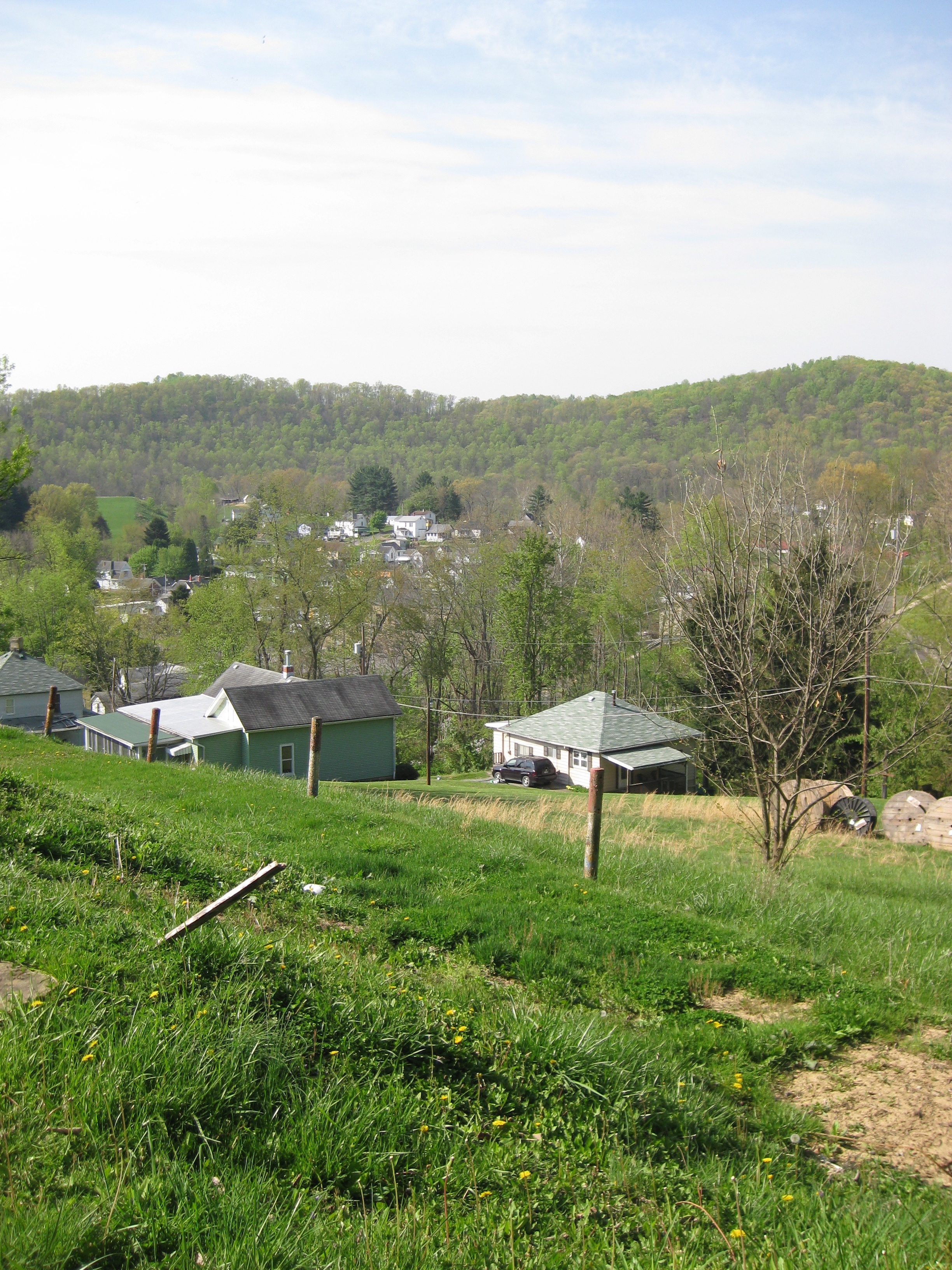
looking down on the town

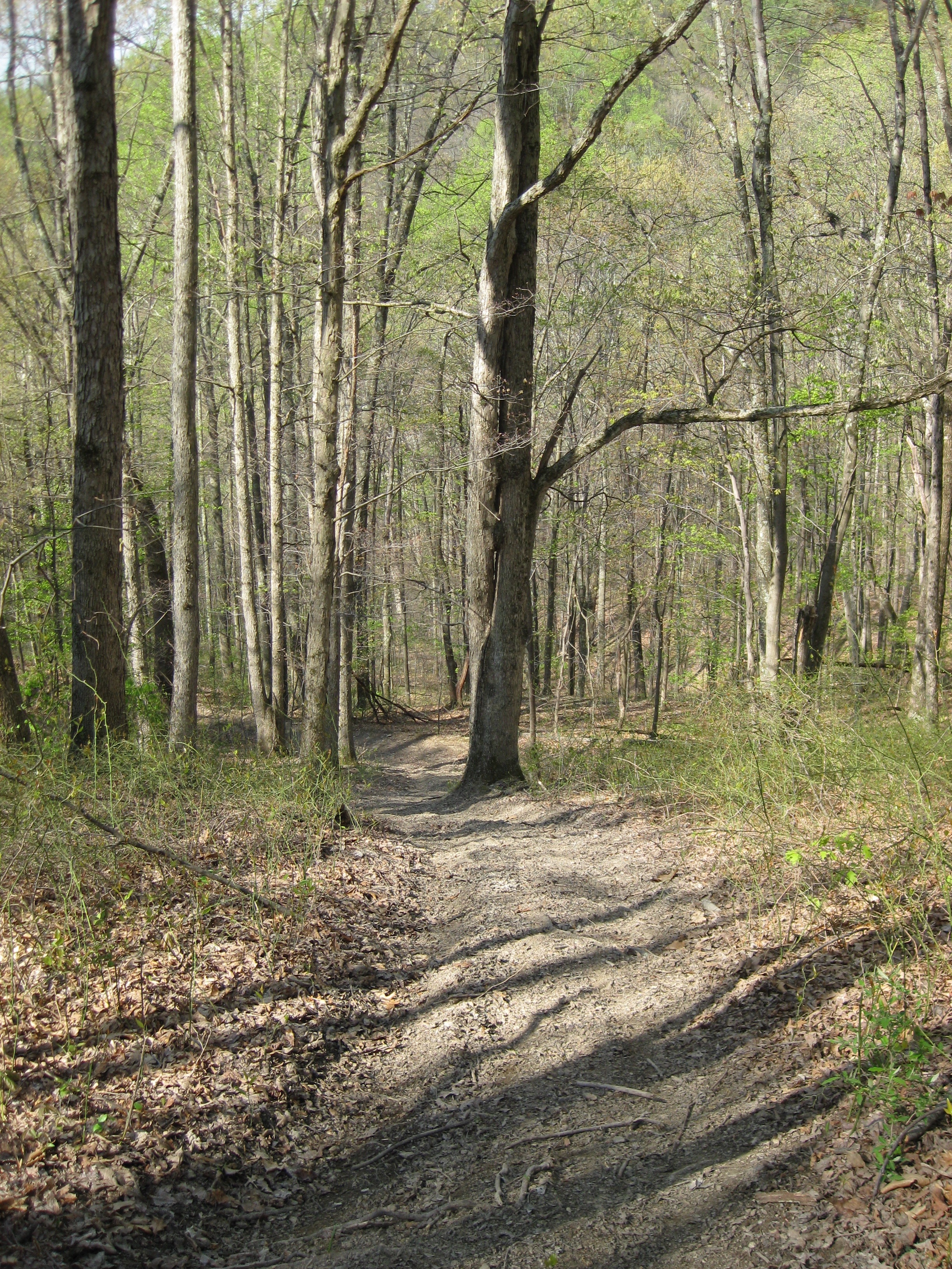
into the woods
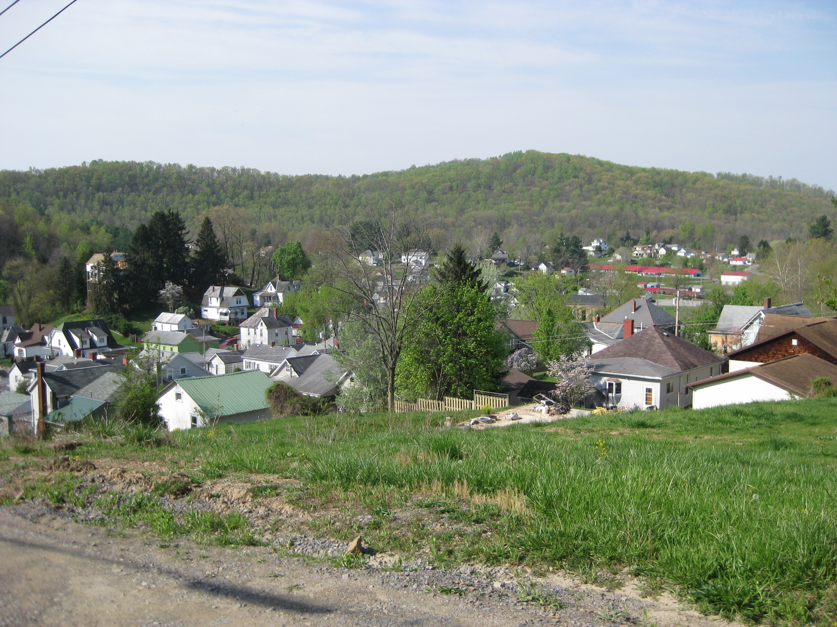
looking down on the town
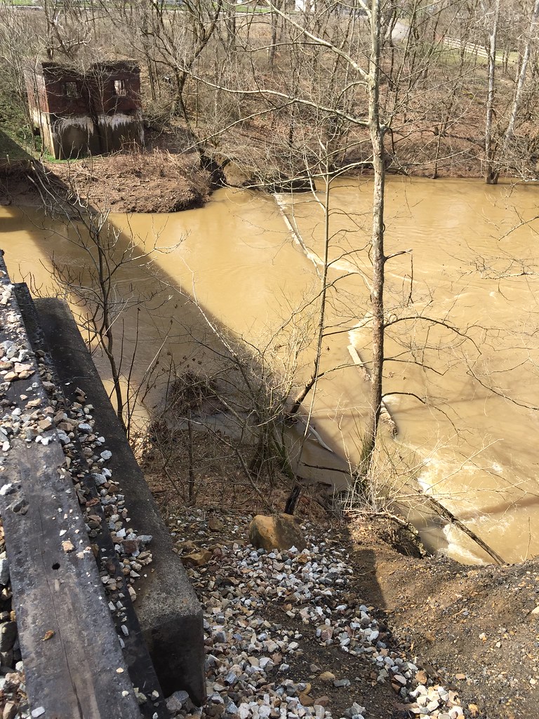
dam trees not in the way any more
Topographic Map of Flaggy Meadow Dr, Mannington, WV, USA
Find elevation by address:

Places near Flaggy Meadow Dr, Mannington, WV, USA:
1352 Co Rd 4/8
Furbee Avenue
Water St, Mannington, WV, USA
Mannington
Joetown Rd, Mannington, WV, USA
Robinson-wyatt Run Road
West Augusta
37 Second St
Lucas Rd, Shinnston, WV, USA
235 Curtisville Pike
41 Crown St, Worthington, WV, USA
43 Edgewood Ln
43 Edgewood Ln
Northern
3057 Hood Avenue
1069 Plum Run Rd
Curtisville Pike, Mannington, WV, USA
24 Co Rte 19/1
24 Co Rte 19/1
Worthington
Recent Searches:
- Elevation of Corso Fratelli Cairoli, 35, Macerata MC, Italy
- Elevation of Tallevast Rd, Sarasota, FL, USA
- Elevation of 4th St E, Sonoma, CA, USA
- Elevation of Black Hollow Rd, Pennsdale, PA, USA
- Elevation of Oakland Ave, Williamsport, PA, USA
- Elevation of Pedrógão Grande, Portugal
- Elevation of Klee Dr, Martinsburg, WV, USA
- Elevation of Via Roma, Pieranica CR, Italy
- Elevation of Tavkvetili Mountain, Georgia
- Elevation of Hartfords Bluff Cir, Mt Pleasant, SC, USA