Elevation of WA-, Silver Creek, WA, USA
Location: United States > Washington > Lewis County > Mossyrock >
Longitude: -122.59233
Latitude: 46.5264605
Elevation: 212m / 696feet
Barometric Pressure: 99KPa
Elevation Map:
Satellite Map:
Related Photos:

The Stump - HDR
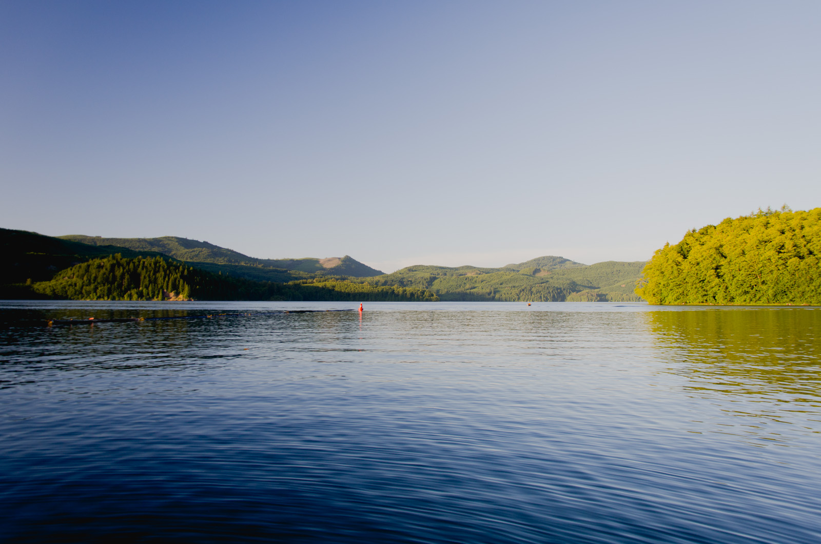
Mossyrock Lake

Lake View
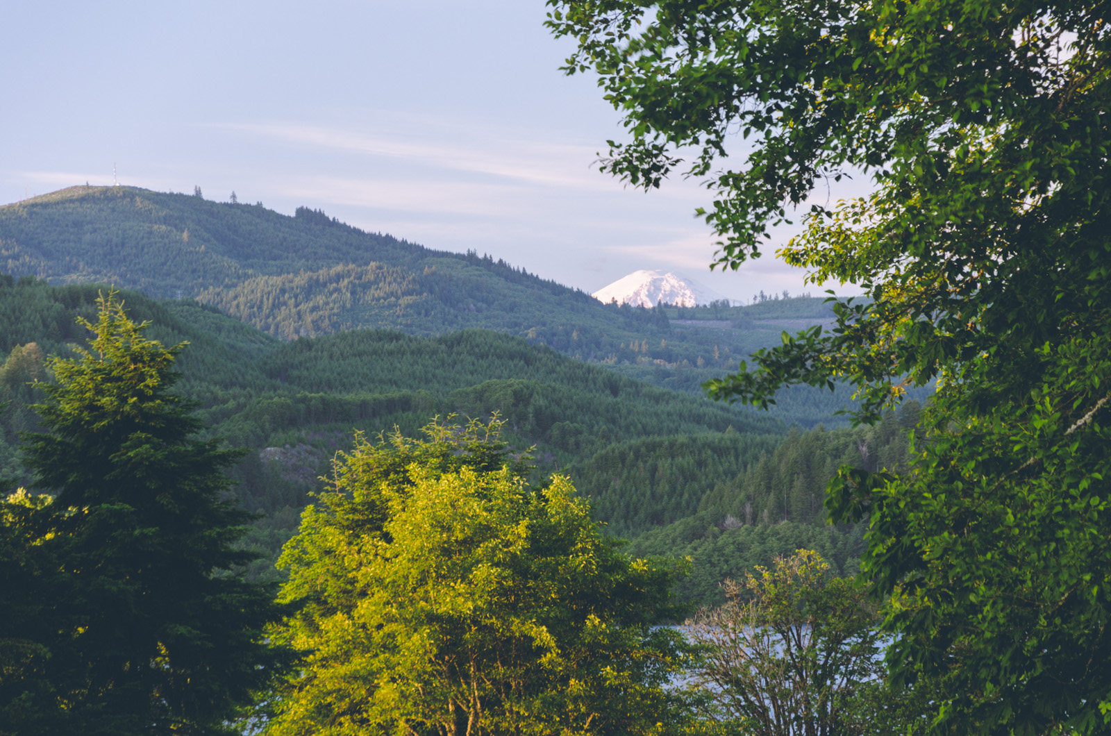
Peeking Mt. Rainier
Topographic Map of WA-, Silver Creek, WA, USA
Find elevation by address:

Places near WA-, Silver Creek, WA, USA:
Silver Creek
1002 Cinebar Rd
256 Stowell Rd
Salkum
224 Tanglewood Dr
114 Segura Dr
457 Winston Creek Rd
642 Jorgensen Rd
2094 Us-12
Winston
150 Boyd Rd
419 Burchett Rd
Mossyrock
Hope Street
172 Damron Rd
243 E Main
192 Swigert Rd
257 Blankenship Rd
130 Dodge Rd
834 Green Mountain Rd
Recent Searches:
- Elevation of Corso Fratelli Cairoli, 35, Macerata MC, Italy
- Elevation of Tallevast Rd, Sarasota, FL, USA
- Elevation of 4th St E, Sonoma, CA, USA
- Elevation of Black Hollow Rd, Pennsdale, PA, USA
- Elevation of Oakland Ave, Williamsport, PA, USA
- Elevation of Pedrógão Grande, Portugal
- Elevation of Klee Dr, Martinsburg, WV, USA
- Elevation of Via Roma, Pieranica CR, Italy
- Elevation of Tavkvetili Mountain, Georgia
- Elevation of Hartfords Bluff Cir, Mt Pleasant, SC, USA