Elevation of Jorgensen Rd, Onalaska, WA, USA
Location: United States > Washington > Lewis County > Onalaska >
Longitude: -122.65100
Latitude: 46.571492
Elevation: 243m / 797feet
Barometric Pressure: 98KPa
Elevation Map:
Satellite Map:
Related Photos:
Early evening fog

The Stump - HDR

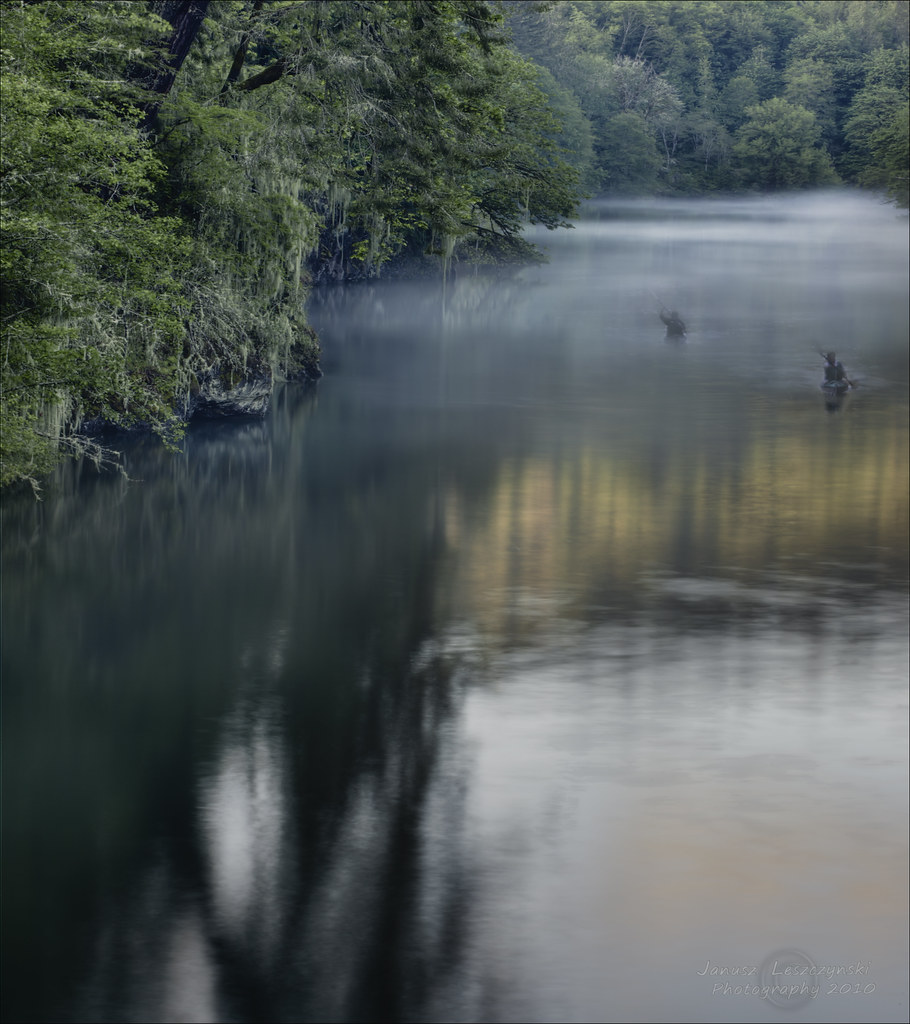
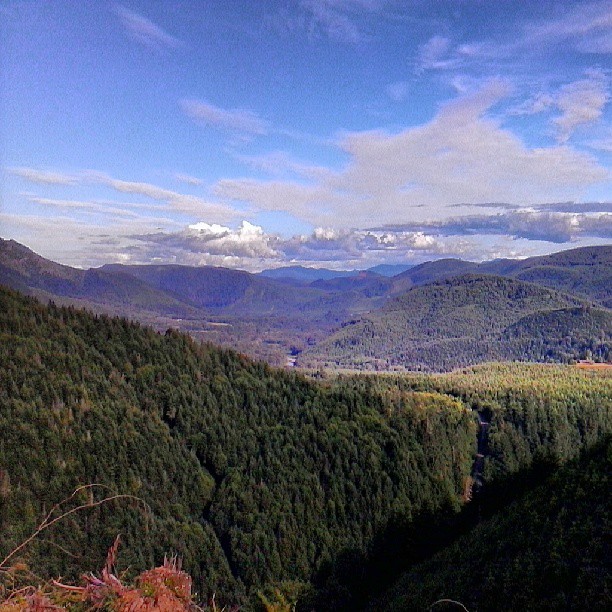
View of Lake Mayfield down Cinebar Creek valley.
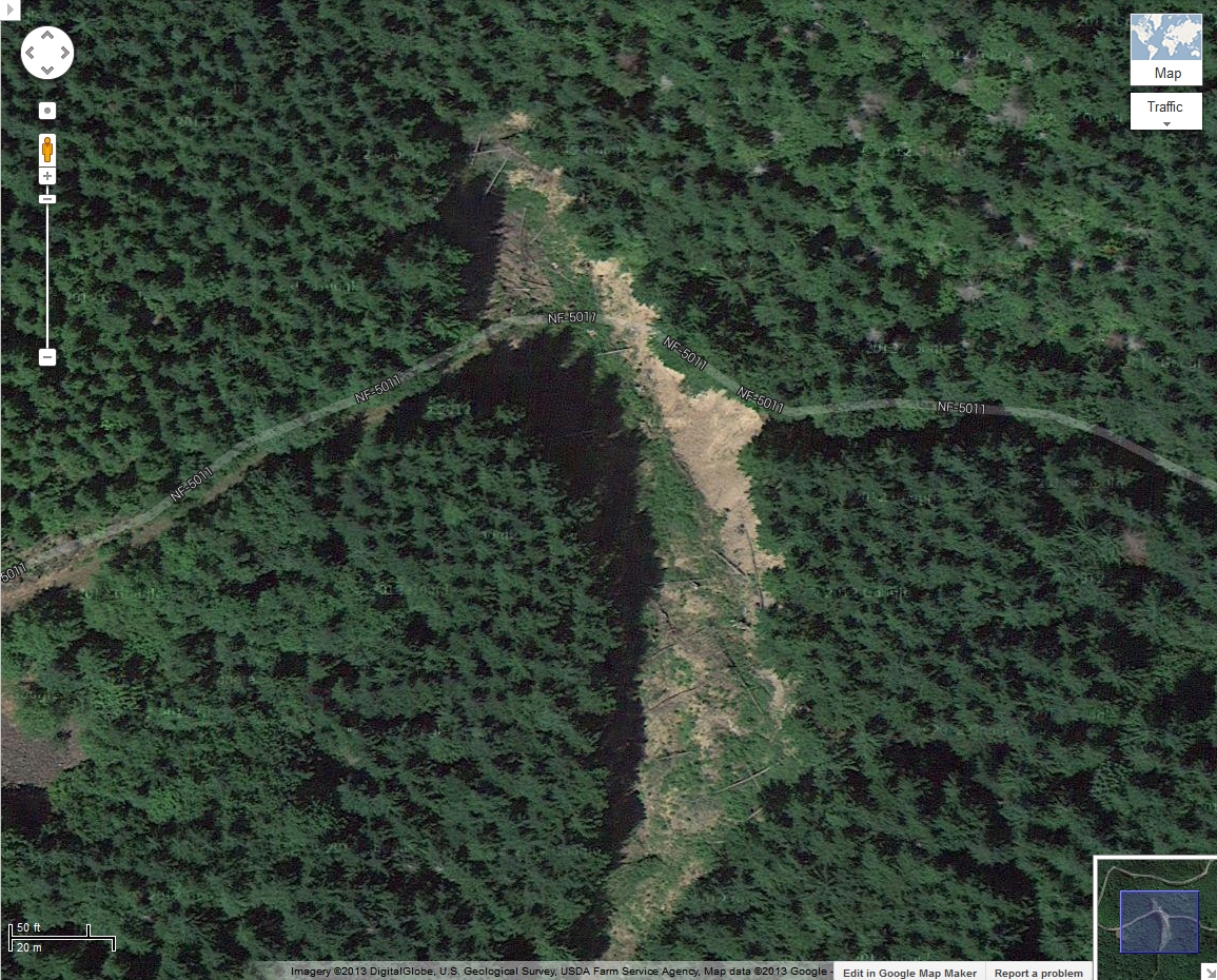
NF-5011 Washout Map

Mount Saint Helen's
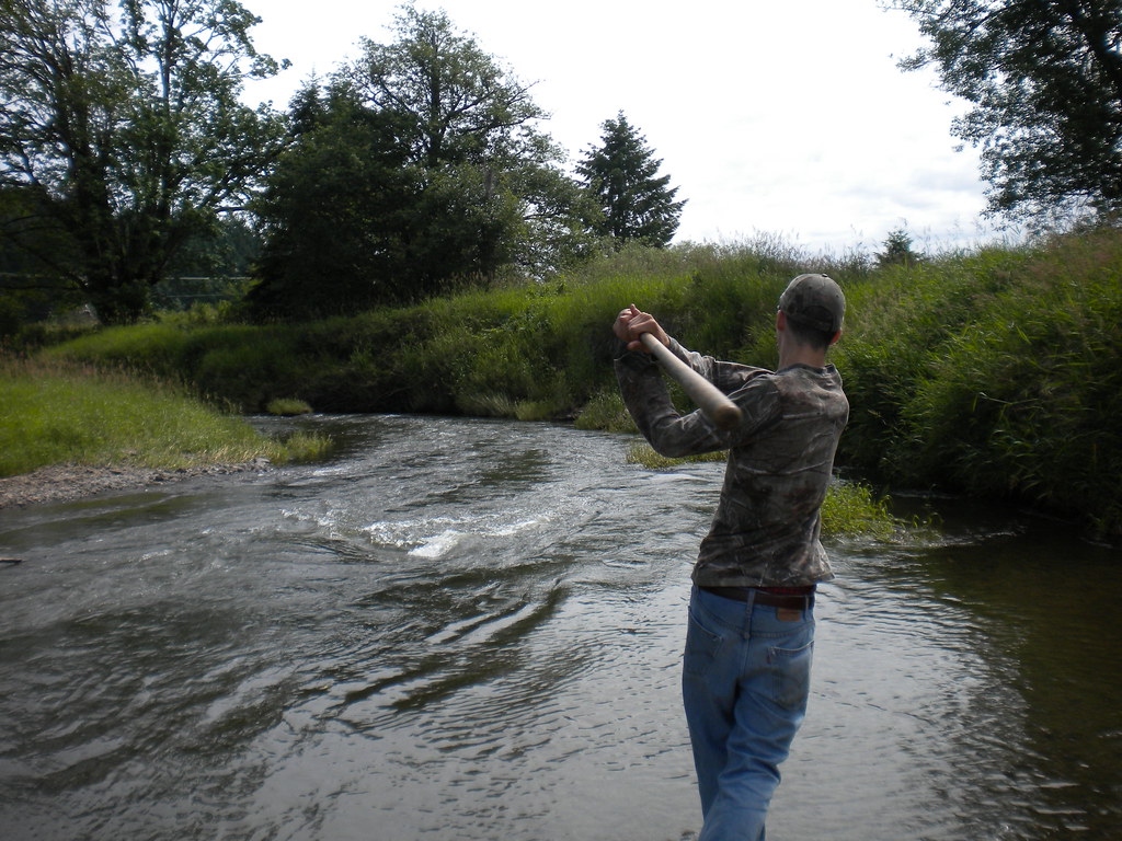
Fly Ball.... er.... Rock....

Rod and the view from Dan's house

Sundown.
Sunset amongst the trees ... and birds ... and bugs ... and whatever is crashing though the undergrowth to my right!
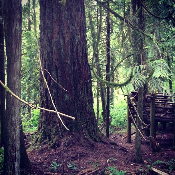
This tree is at least 10 feet in diameter! Nature is incredible.
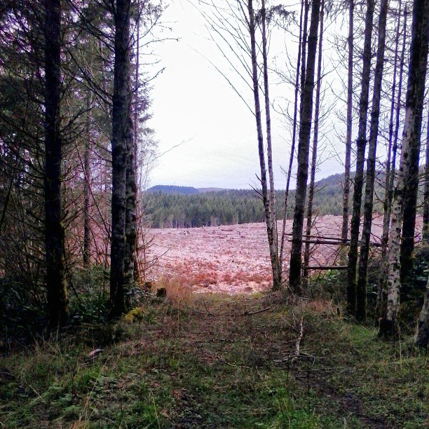
Leaving green. Back to brown.
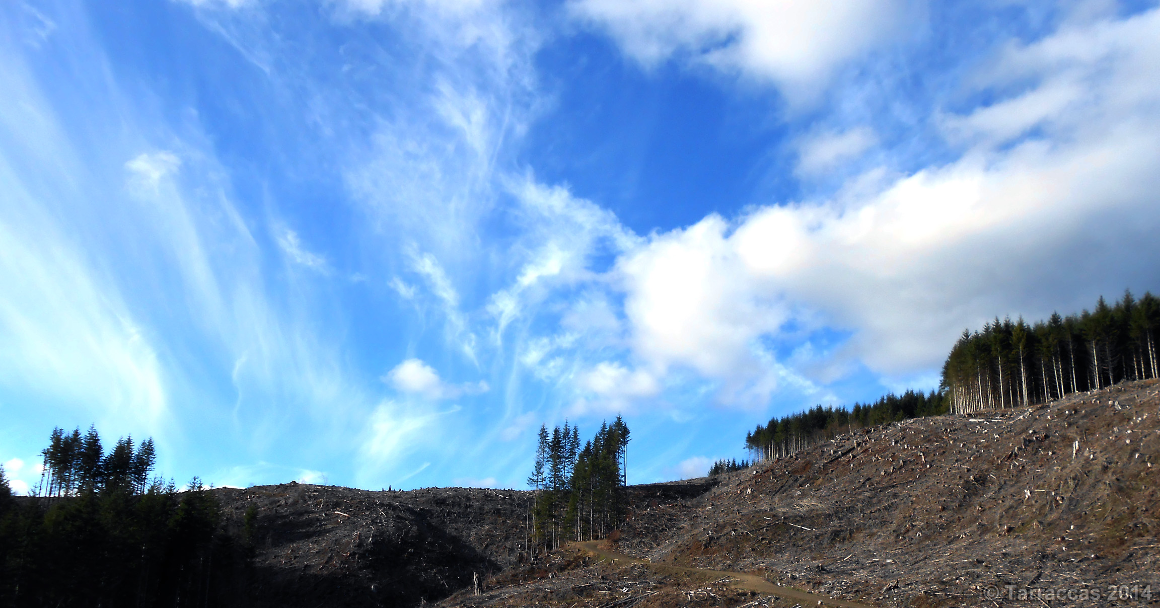
Blue Skies Smilin' At Me

Rays of Hope

Field of Dreams

Photo Jul 31, 12 05 25 PM

Moonrise over Mount Saint Helens.

Sky tornados or something?
Bear Canyon in the fore. Bremer in the distance.

More like sick little clouds. WTF?
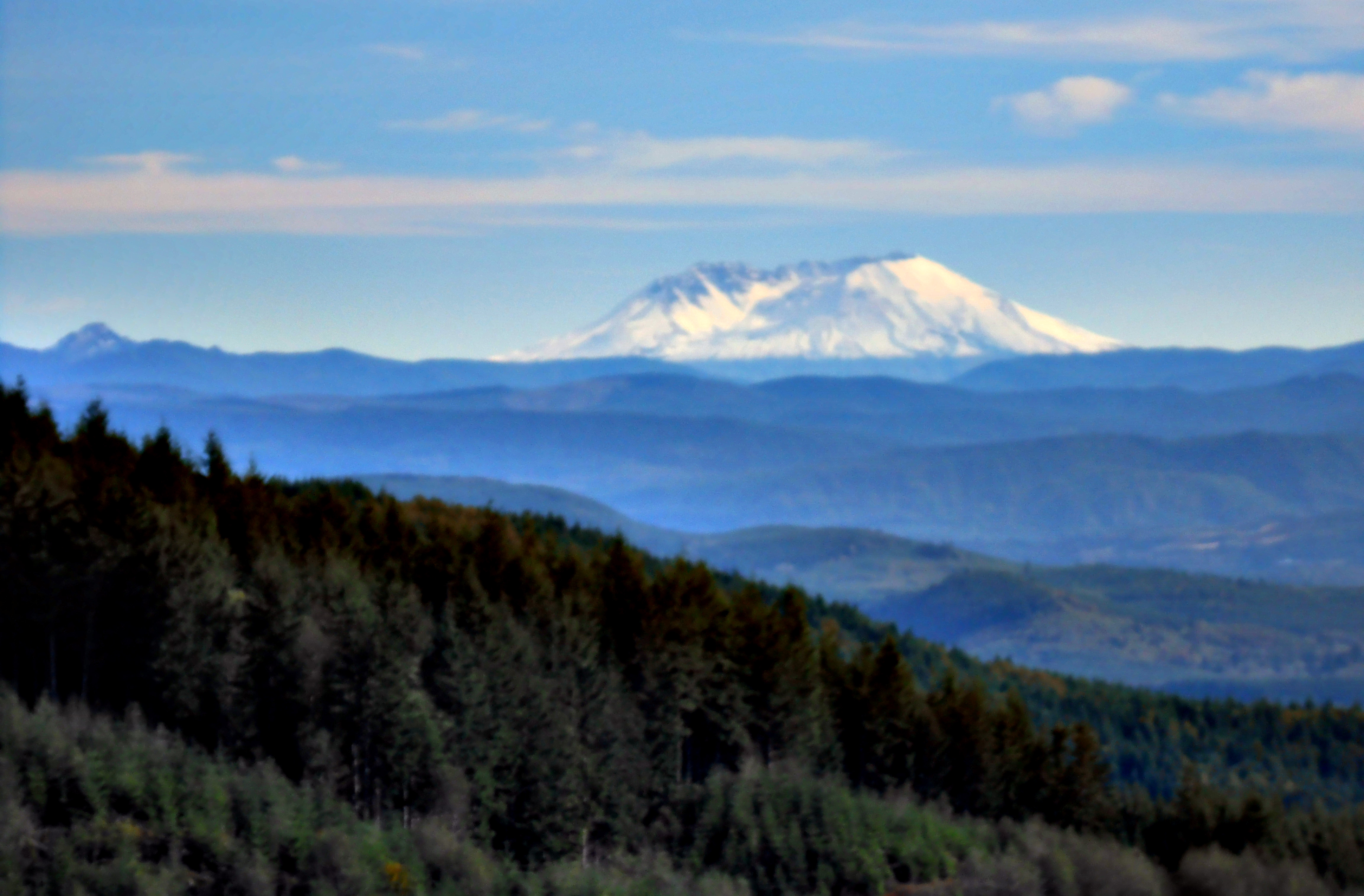
Mount Saint Helens
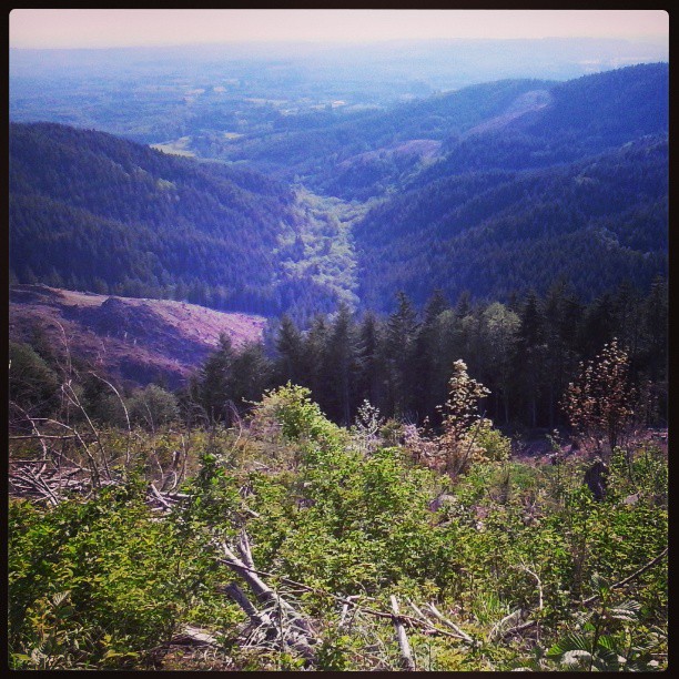
Cinebar creek valley.
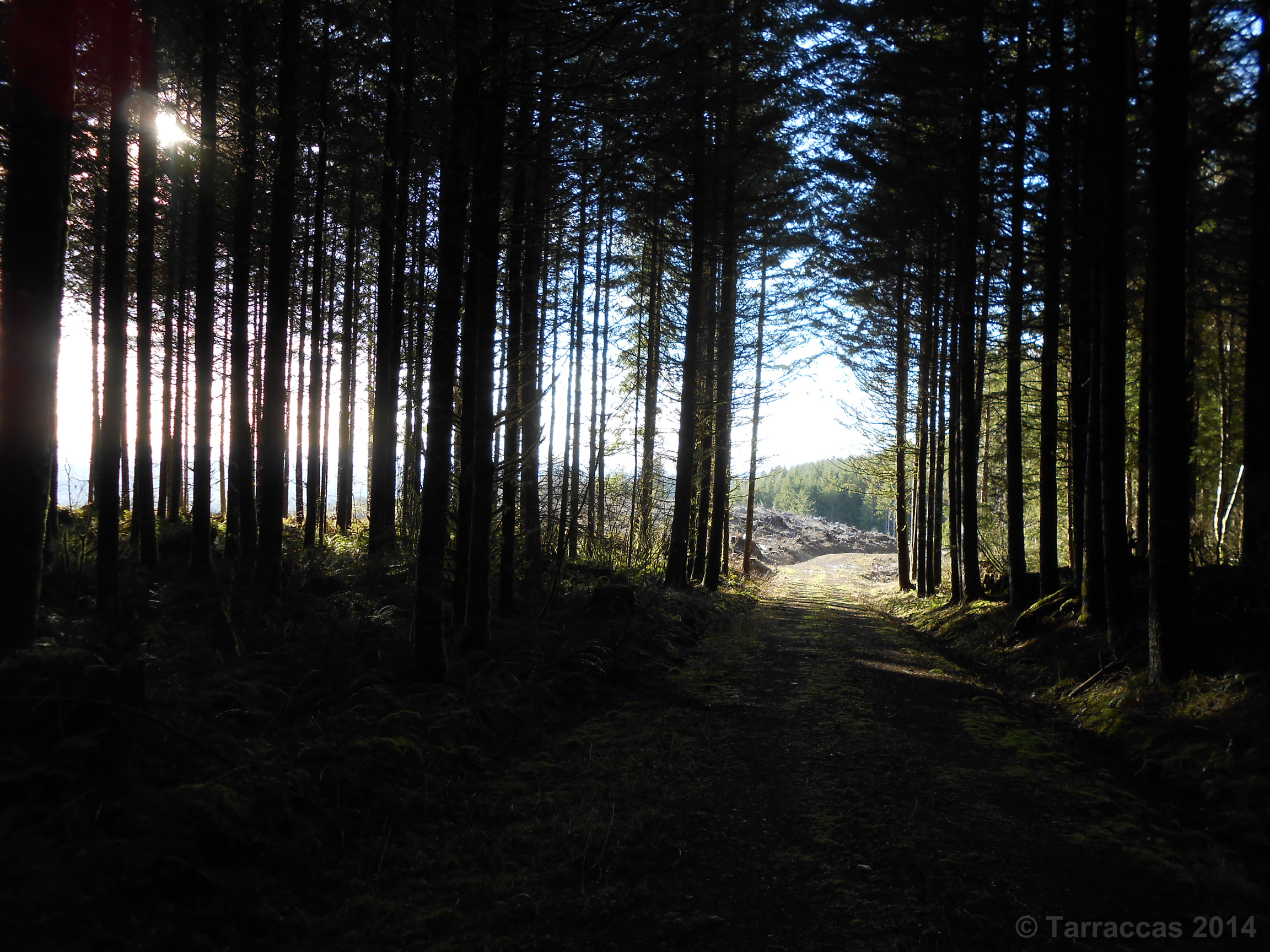
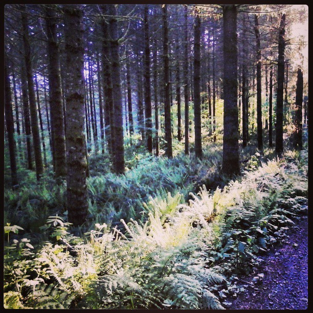
Forest Through The Trees
Down one late afternoon.

#flowers #washington
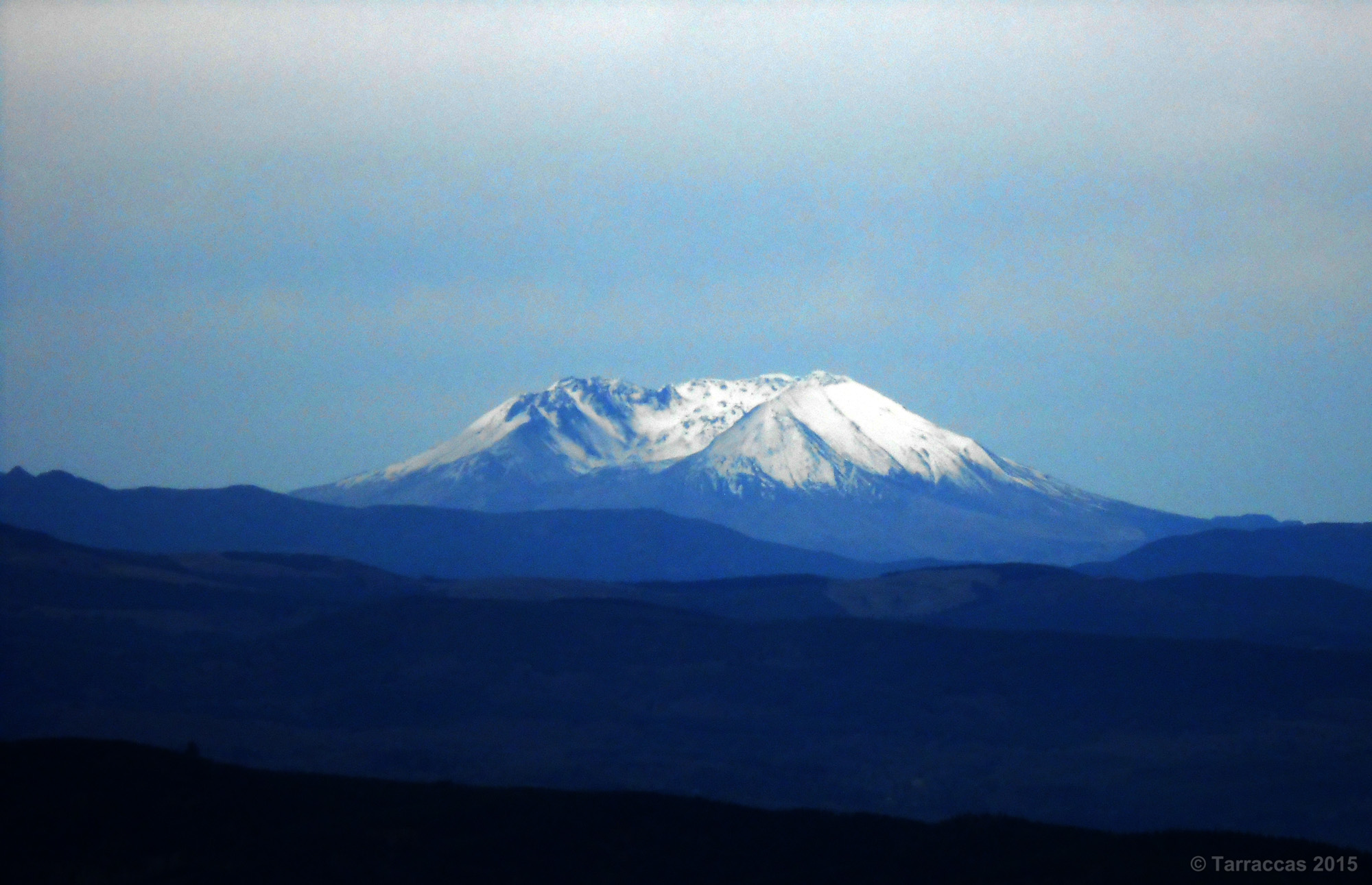
Mount Saint Helens
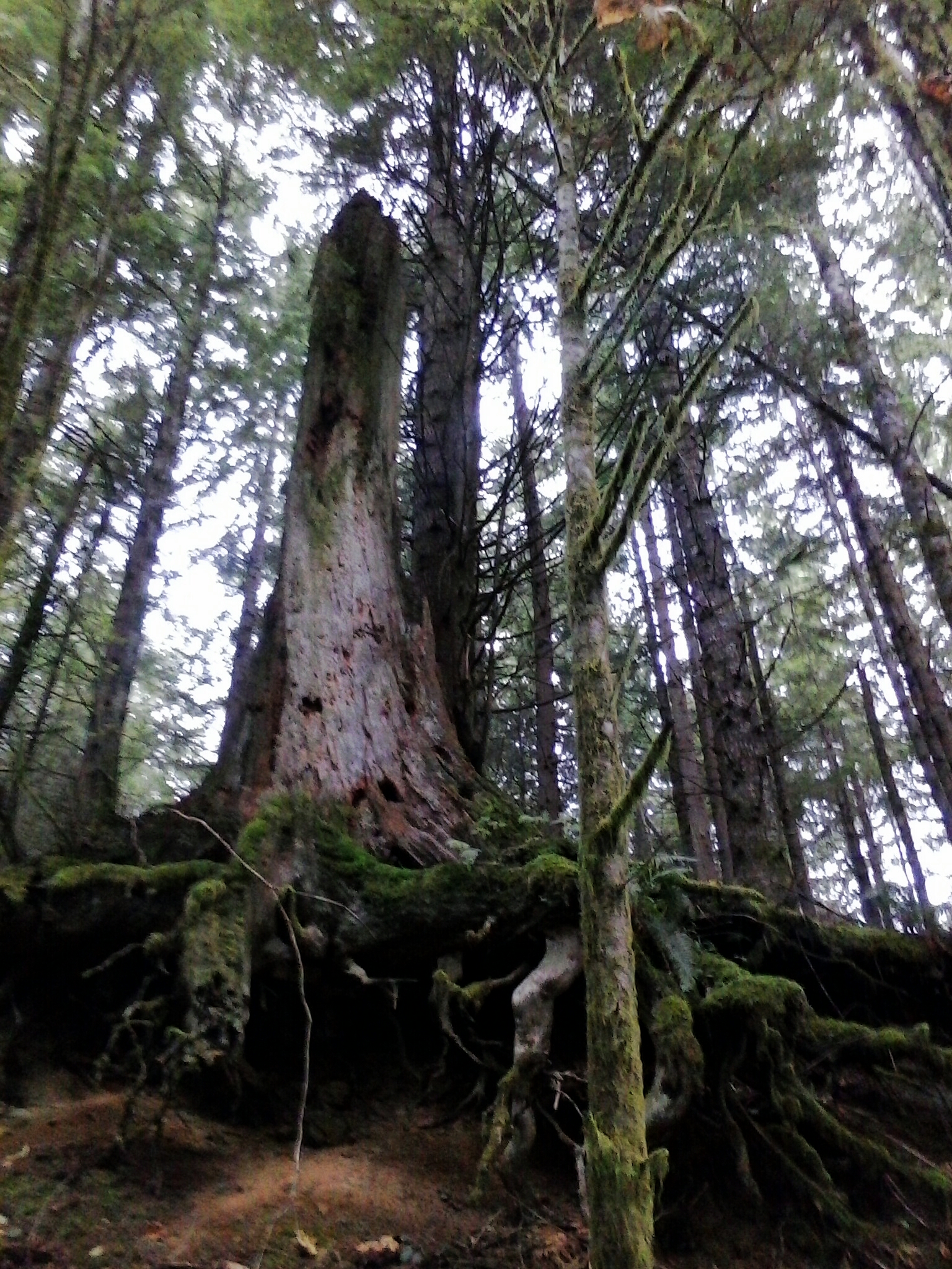
Reaching Roots

Perfect.
Topographic Map of Jorgensen Rd, Onalaska, WA, USA
Find elevation by address:

Places near Jorgensen Rd, Onalaska, WA, USA:
419 Burchett Rd
256 Stowell Rd
Salkum
2094 Us-12
1641 Wa-122
Silver Creek
1002 Cinebar Rd
224 Tanglewood Dr
114 Segura Dr
457 Winston Creek Rd
Winston
150 Boyd Rd
Mossyrock
172 Damron Rd
Hope Street
243 E Main
192 Swigert Rd
257 Blankenship Rd
130 Dodge Rd
834 Green Mountain Rd
Recent Searches:
- Elevation of Corso Fratelli Cairoli, 35, Macerata MC, Italy
- Elevation of Tallevast Rd, Sarasota, FL, USA
- Elevation of 4th St E, Sonoma, CA, USA
- Elevation of Black Hollow Rd, Pennsdale, PA, USA
- Elevation of Oakland Ave, Williamsport, PA, USA
- Elevation of Pedrógão Grande, Portugal
- Elevation of Klee Dr, Martinsburg, WV, USA
- Elevation of Via Roma, Pieranica CR, Italy
- Elevation of Tavkvetili Mountain, Georgia
- Elevation of Hartfords Bluff Cir, Mt Pleasant, SC, USA