Elevation of Stowell Rd, Salkum, WA, USA
Location: United States > Washington > Lewis County > Salkum >
Longitude: -122.62506
Latitude: 46.5345938
Elevation: 174m / 571feet
Barometric Pressure: 99KPa
Elevation Map:
Satellite Map:
Related Photos:

Aerial view of the historic and new replacement SR 508 Newaukum River Bridge
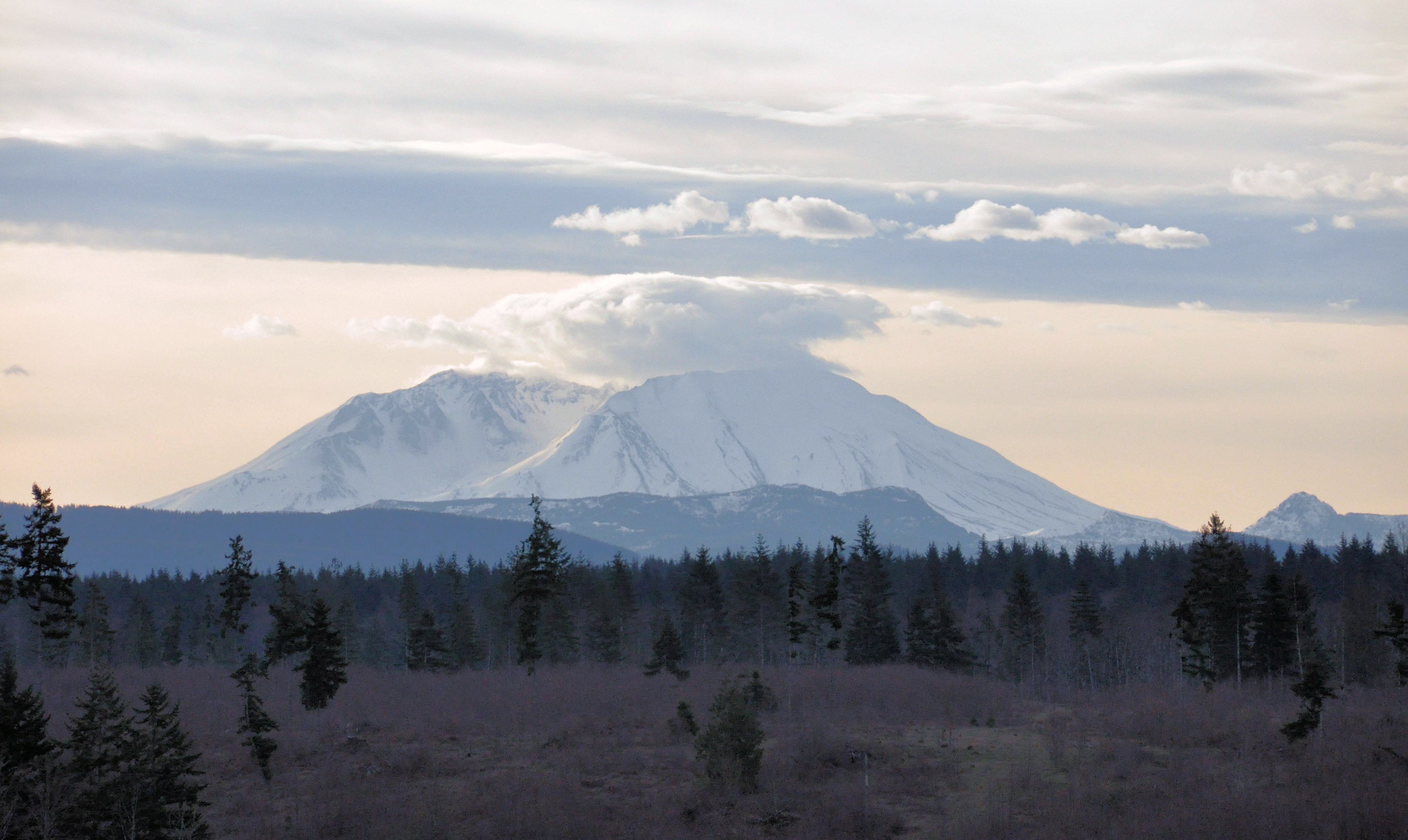
Mount Saint Helen's

Early evening fog

Aerial view of the historic and new replacement SR 508 Newaukum River Bridge

The Stump - HDR

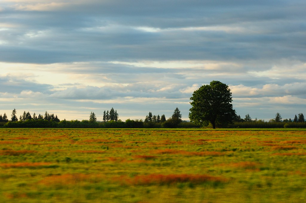
Golden Summer Days

Camp Fire

Late Afternoon Sun

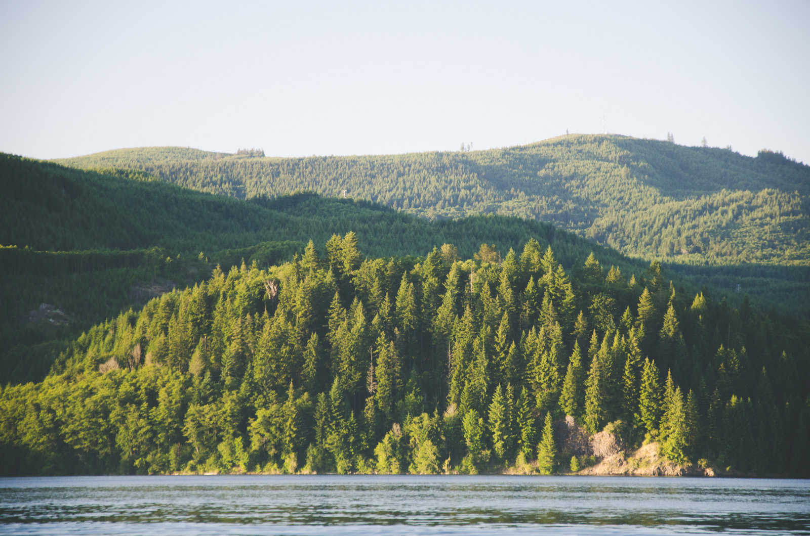
Mossyrock Lake
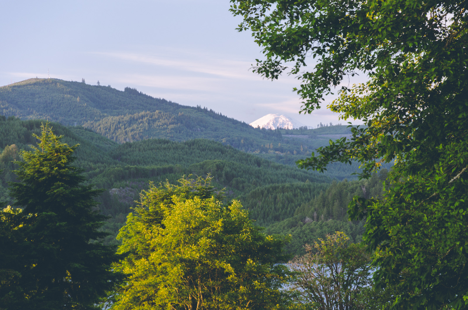
Peeking Mt. Rainier

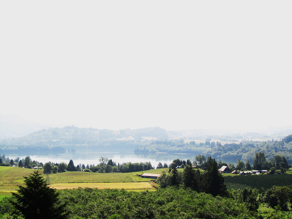
Lake View

NF-5011 Washout Map
Beautiful view

Mt Rainier and Mt St Helens
DeGoede Four

Mudd Bog 2

Antenna Tower on Rooster Rock

Downhill From Here

Rooster Rock in the Distance

Cedar Forest, Lewis and Clark State Park, Washington, 2015
Sun on Trees

Mayfield Lake

Mossyrock Dam
55 mph Landscape Photography
Mayfield Lake

Ike Kinswa State Park

Mossyrock Dam

Mossyrock Dam

Harmony Lakeside RV Park (WA)

Iron Creek at FSR 76

Mighty Rainier

Mossyrock Dam
Topographic Map of Stowell Rd, Salkum, WA, USA
Find elevation by address:

Places near Stowell Rd, Salkum, WA, USA:
Salkum
1641 Wa-122
Silver Creek
642 Jorgensen Rd
2094 Us-12
1002 Cinebar Rd
419 Burchett Rd
114 Segura Dr
224 Tanglewood Dr
457 Winston Creek Rd
Winston
150 Boyd Rd
Mossyrock
Hope Street
172 Damron Rd
243 E Main
192 Swigert Rd
257 Blankenship Rd
130 Dodge Rd
834 Green Mountain Rd
Recent Searches:
- Elevation of Corso Fratelli Cairoli, 35, Macerata MC, Italy
- Elevation of Tallevast Rd, Sarasota, FL, USA
- Elevation of 4th St E, Sonoma, CA, USA
- Elevation of Black Hollow Rd, Pennsdale, PA, USA
- Elevation of Oakland Ave, Williamsport, PA, USA
- Elevation of Pedrógão Grande, Portugal
- Elevation of Klee Dr, Martinsburg, WV, USA
- Elevation of Via Roma, Pieranica CR, Italy
- Elevation of Tavkvetili Mountain, Georgia
- Elevation of Hartfords Bluff Cir, Mt Pleasant, SC, USA