Elevation of W Main St, Stone Lake, WI, USA
Location: United States > Wisconsin > Sawyer County >
Longitude: -91.540420
Latitude: 45.8455254
Elevation: 403m / 1322feet
Barometric Pressure: 97KPa
Elevation Map:
Satellite Map:
Related Photos:

P1080269

P1080246

P1080266

P1080261

P1080243

P1080260

IMG_1435

Sunset Barn

JDT_7173-DxO-

JDT_7156-DxO-

JDT_7164-DxO-

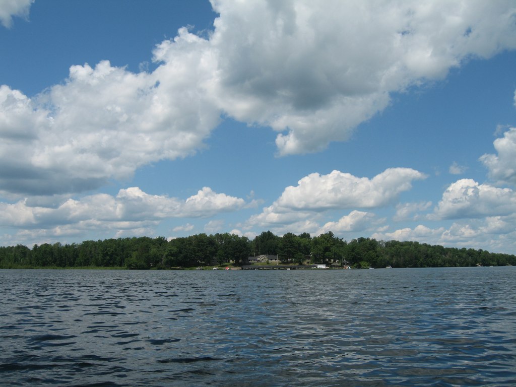
Wisconsin Lake Summer Sunset

Golden Days

Entrance to Lewis Lodge

devils lake wisconson

Birchbark Sunset

devils lake wisconson

Ox-eye Daisies

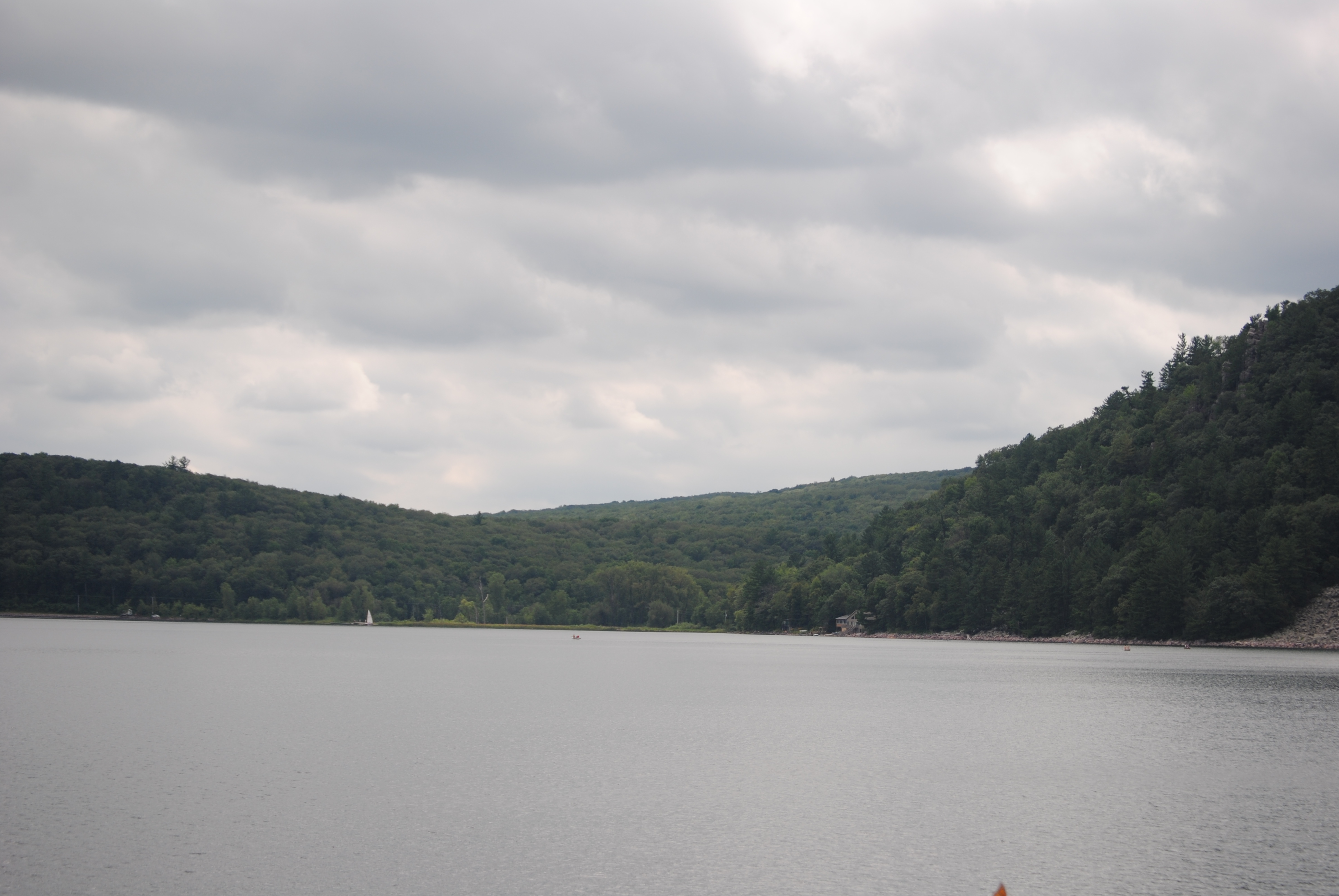
Early Morning Lookout

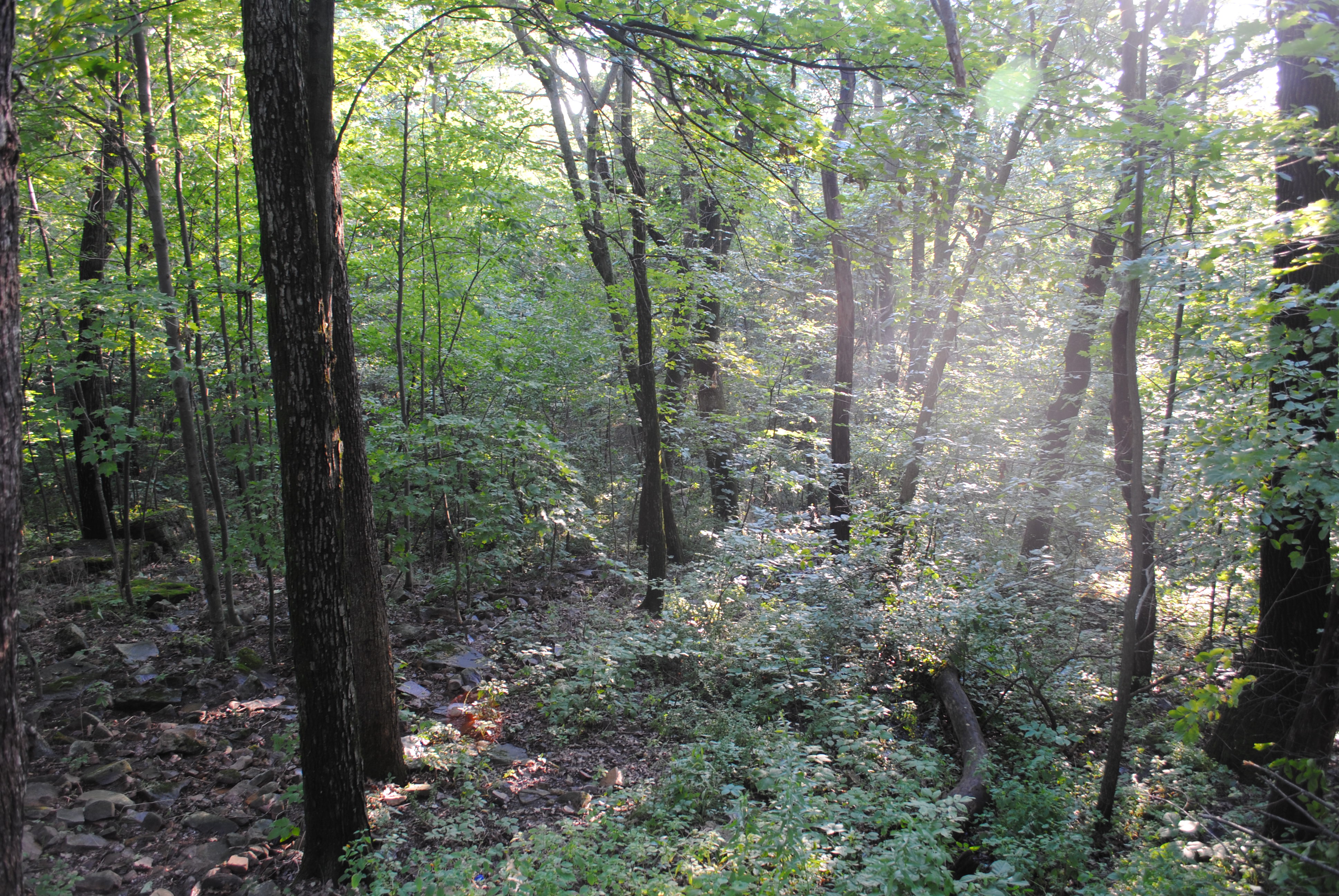
Cascade in the Woods
devils lake wisconson
devils lake wisconson
Fred Thomas Resort
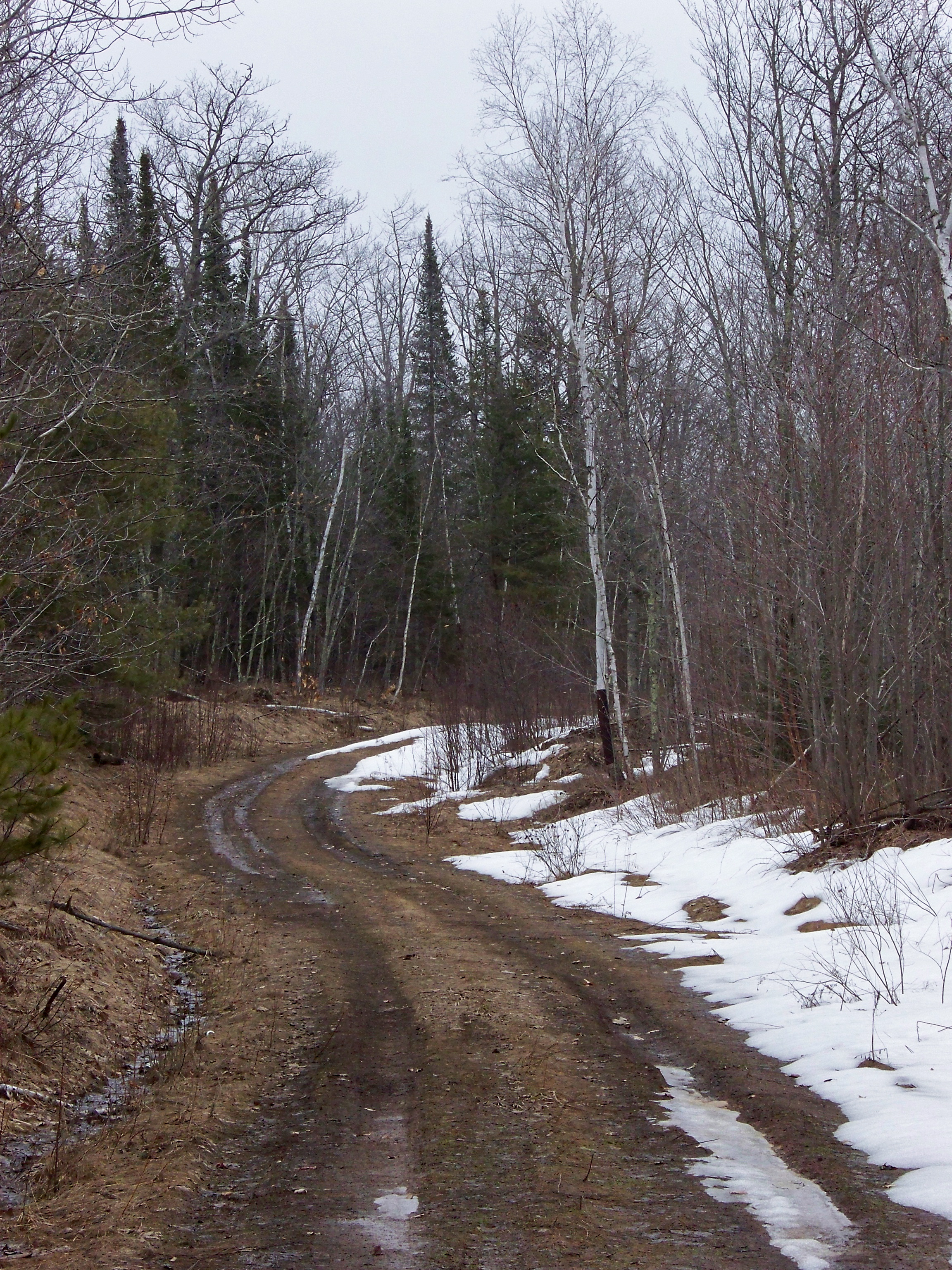
The Road Not Taken
devils lake wisconson

Cumberland, WI to Edgewater, WI

Mobile pic SGS7 edge

Cumberland, WI to Edgewater, WI
Topographic Map of W Main St, Stone Lake, WI, USA
Find elevation by address:

Places near W Main St, Stone Lake, WI, USA:
Bass Lake
Co Hwy K, Hayward, WI, USA
Crystal
Hayward
Springbrook
Hospital Road
N1910
Springbrook
W3471 Morningside Rd
29th Ave, Birchwood, WI, USA
W4484 Friday St
28th St, Birchwood, WI, USA
Crystal Mountain Road
Long Lake
27 1 4 St, Rice Lake, WI, USA
Brill, WI, USA
Trego
W5662
Trego
Sarona
Recent Searches:
- Elevation of Corso Fratelli Cairoli, 35, Macerata MC, Italy
- Elevation of Tallevast Rd, Sarasota, FL, USA
- Elevation of 4th St E, Sonoma, CA, USA
- Elevation of Black Hollow Rd, Pennsdale, PA, USA
- Elevation of Oakland Ave, Williamsport, PA, USA
- Elevation of Pedrógão Grande, Portugal
- Elevation of Klee Dr, Martinsburg, WV, USA
- Elevation of Via Roma, Pieranica CR, Italy
- Elevation of Tavkvetili Mountain, Georgia
- Elevation of Hartfords Bluff Cir, Mt Pleasant, SC, USA