Elevation of Sarona, WI, USA
Location: United States > Wisconsin > Washburn County > Long Lake >
Longitude: -91.806560
Latitude: 45.7110618
Elevation: 396m / 1299feet
Barometric Pressure: 97KPa
Elevation Map:
Satellite Map:
Related Photos:

view from our hotel window

another view from our hotel window

Angle of View

Northern Wisconsin Veterans Memorial Cemetery

What remains

long lake, wisconsin

Shell Lake (Shell Lake, Wisconsin)

Twin Lake

Shell Lake (Shell Lake, Wisconsin)

Hunt Hill Audubon Sanctuary

Bear Lake Sedge Meadow State Natural Area
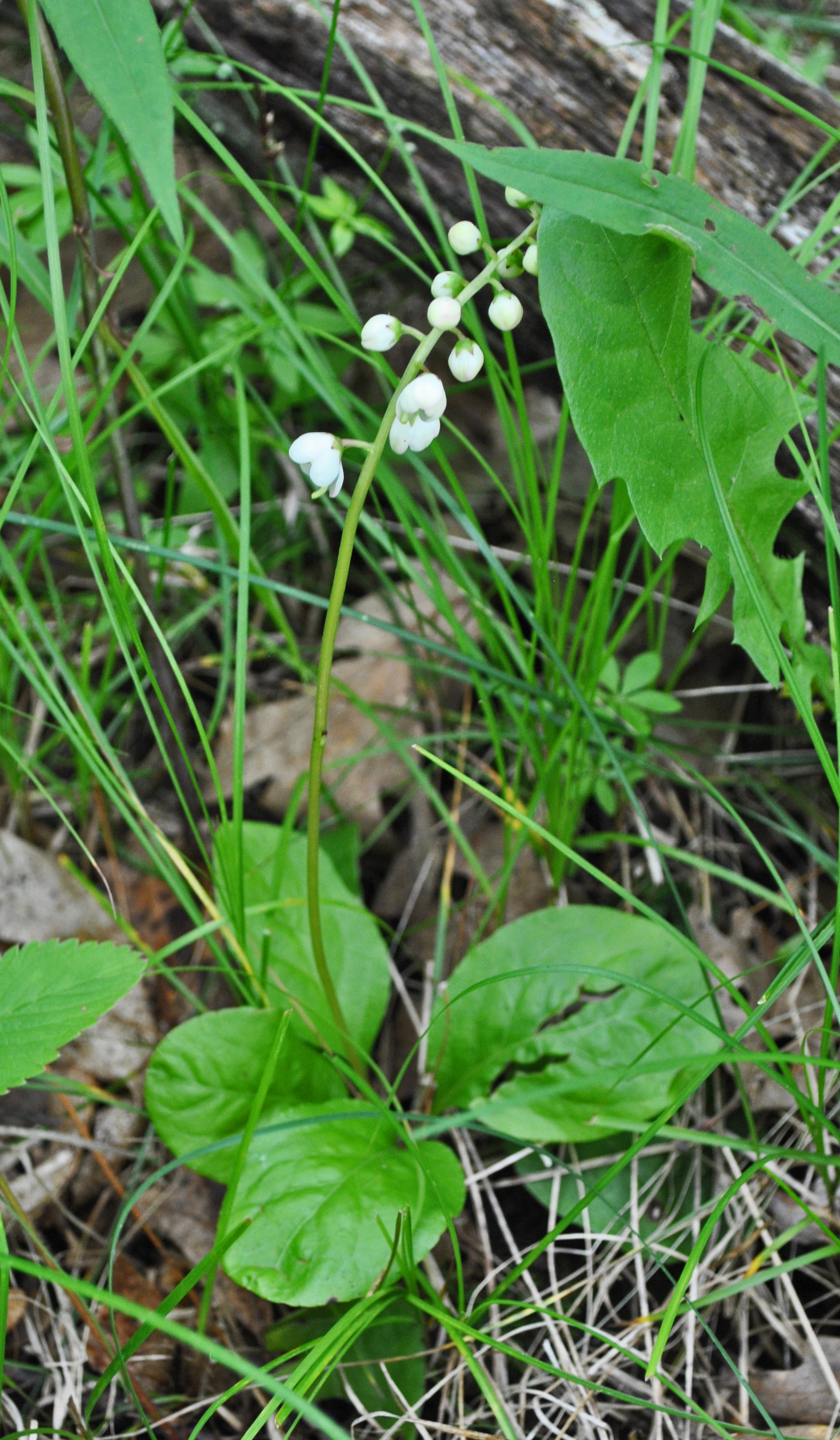
Large-Leaved Shinleaf (Pyrola elliptica)

Shell Lake (Shell Lake, Wisconsin)

Ye Old Road

Shell Lake (Shell Lake, Wisconsin)

fall hike
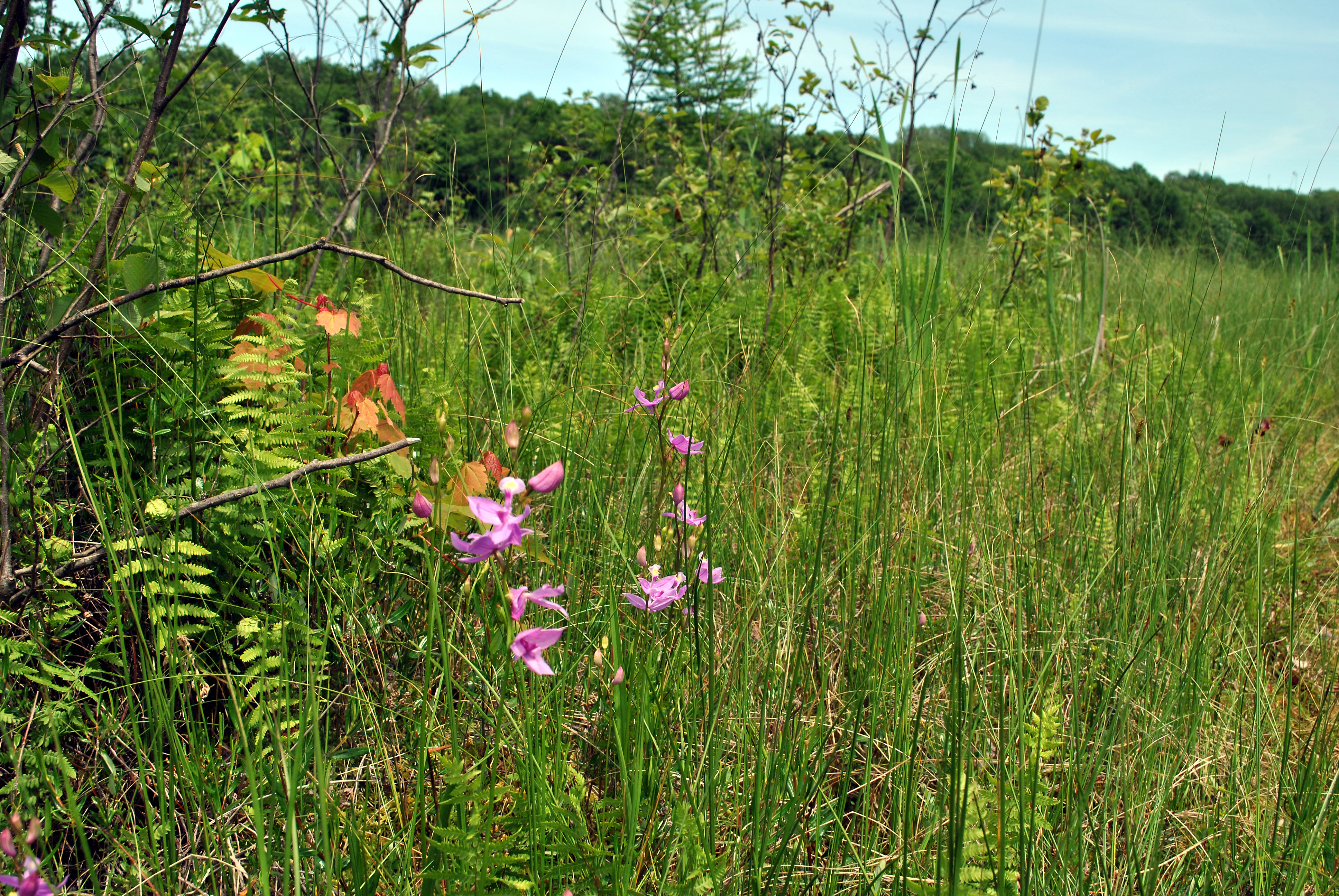
Grass Pink Orchid (Calopogon tuberosus)

Guys' Weekend 1759.jpg

Long Lake

Dory's Bog State Natural Area

Original of Unrealistic Color

scout camp August 2013

Crystal Mountain

scout camp August 2013
Topographic Map of Sarona, WI, USA
Find elevation by address:

Places near Sarona, WI, USA:
Long Lake
W3471 Morningside Rd
Bear Lake
Shell Lake
N1910
Oak Grove
Crystal Mountain Road
1402 26th Ave
Brill, WI, USA
Bashaw
Crystal
Trego
W5662
Trego
W4484 Friday St
Rice Lake
Rice Lake
W Evans St, Rice Lake, WI, USA
Shell Lake, WI, USA
2239 23rd St
Recent Searches:
- Elevation of Corso Fratelli Cairoli, 35, Macerata MC, Italy
- Elevation of Tallevast Rd, Sarasota, FL, USA
- Elevation of 4th St E, Sonoma, CA, USA
- Elevation of Black Hollow Rd, Pennsdale, PA, USA
- Elevation of Oakland Ave, Williamsport, PA, USA
- Elevation of Pedrógão Grande, Portugal
- Elevation of Klee Dr, Martinsburg, WV, USA
- Elevation of Via Roma, Pieranica CR, Italy
- Elevation of Tavkvetili Mountain, Georgia
- Elevation of Hartfords Bluff Cir, Mt Pleasant, SC, USA