Elevation of 29th Ave, Birchwood, WI, USA
Location: United States > Wisconsin >
Longitude: -91.594702
Latitude: 45.624414
Elevation: 368m / 1207feet
Barometric Pressure: 97KPa
Elevation Map:
Satellite Map:
Related Photos:

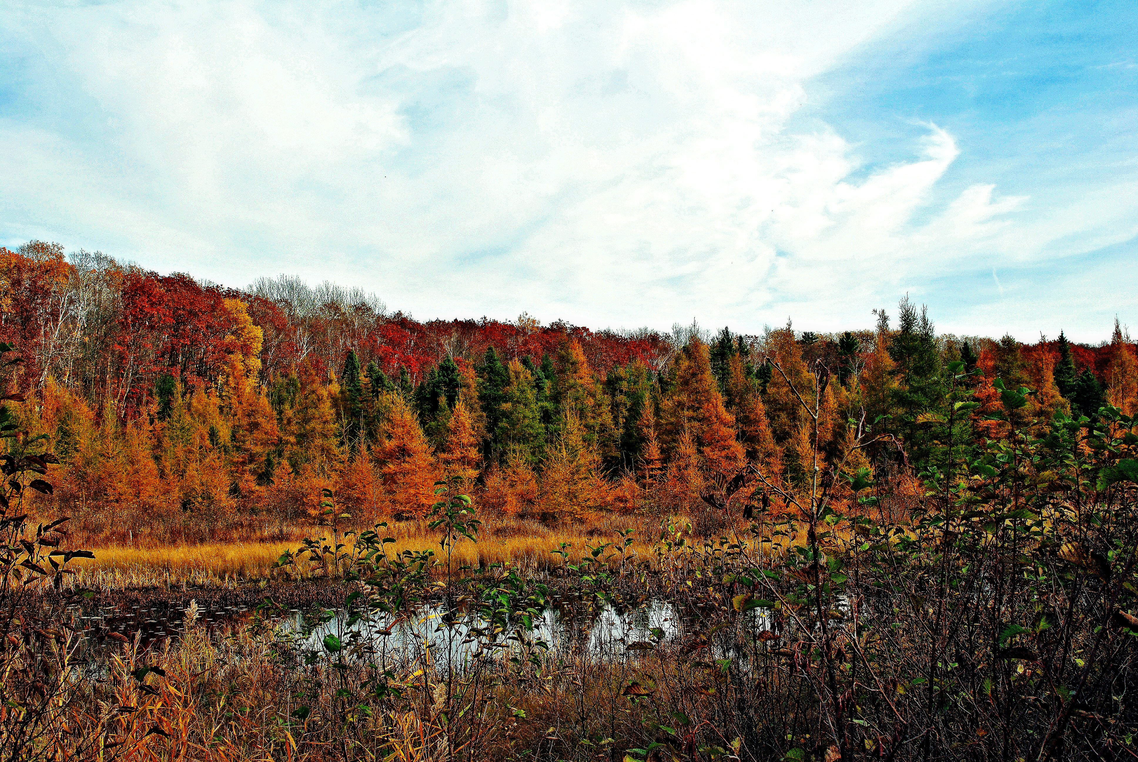
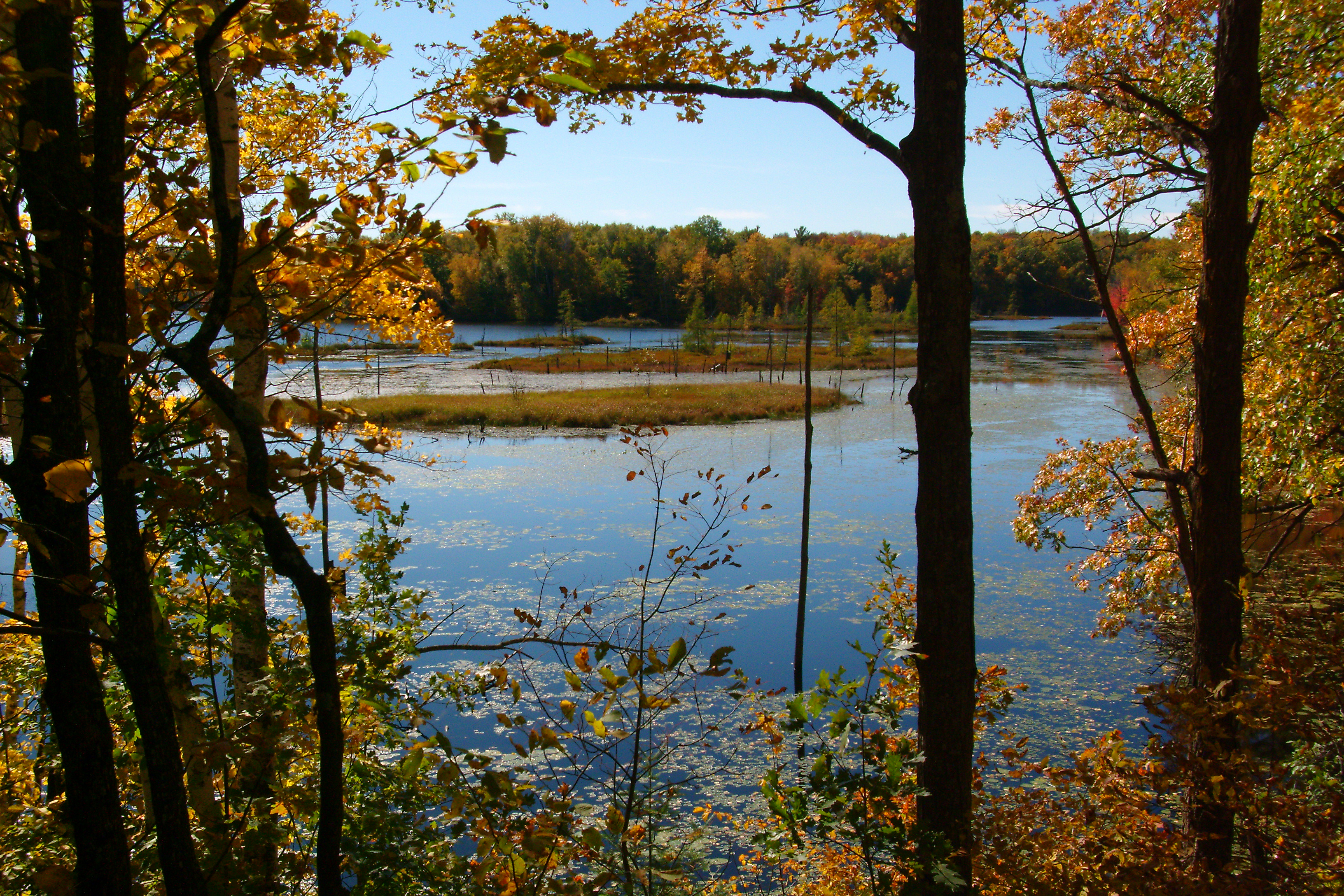
fall hike
scout camp August 2013

Fence Post

Entrance to Lewis Lodge
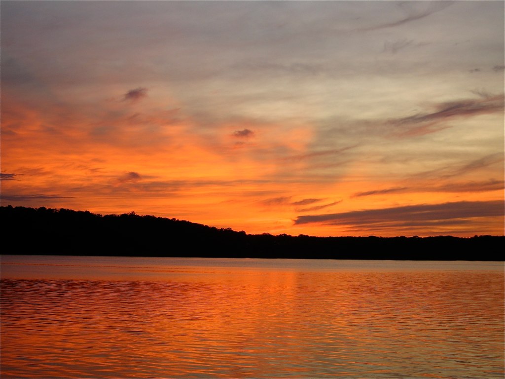
Lake Chetac Sunset
long lake, wisconsin
Hunt Hill Audubon Sanctuary
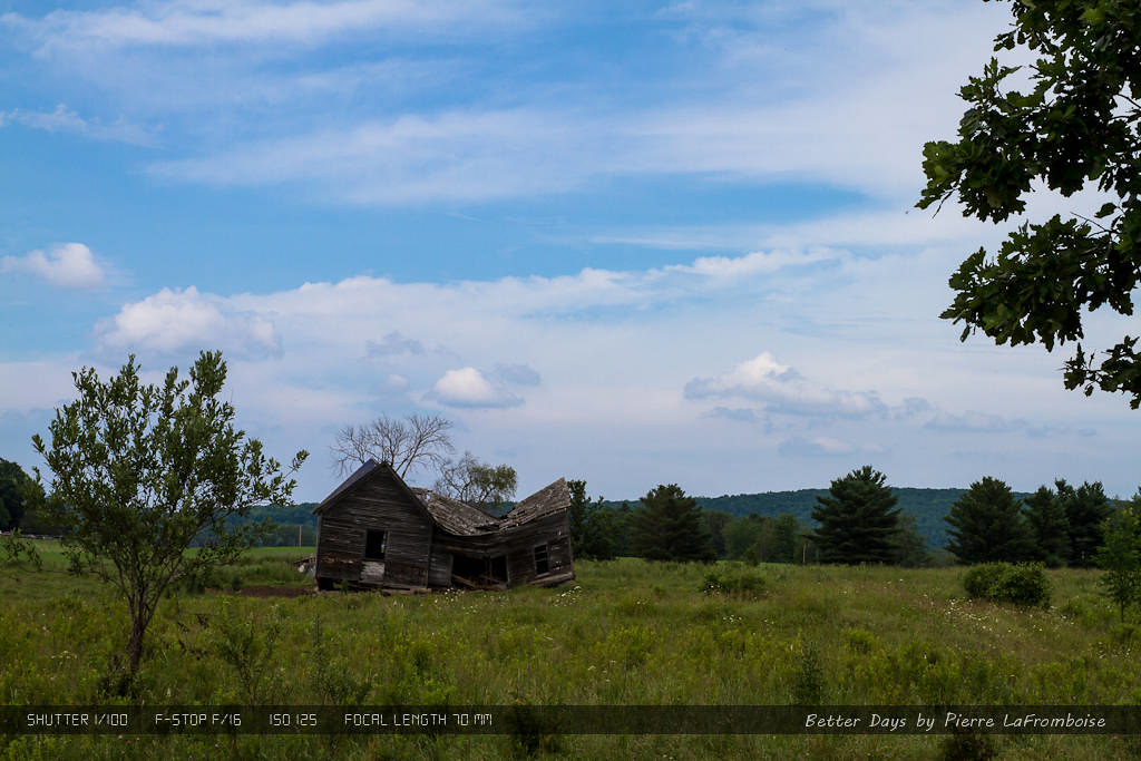
Better Days
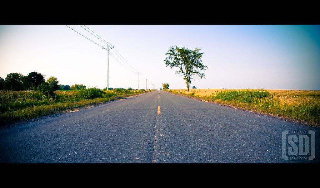
Ye Old Road
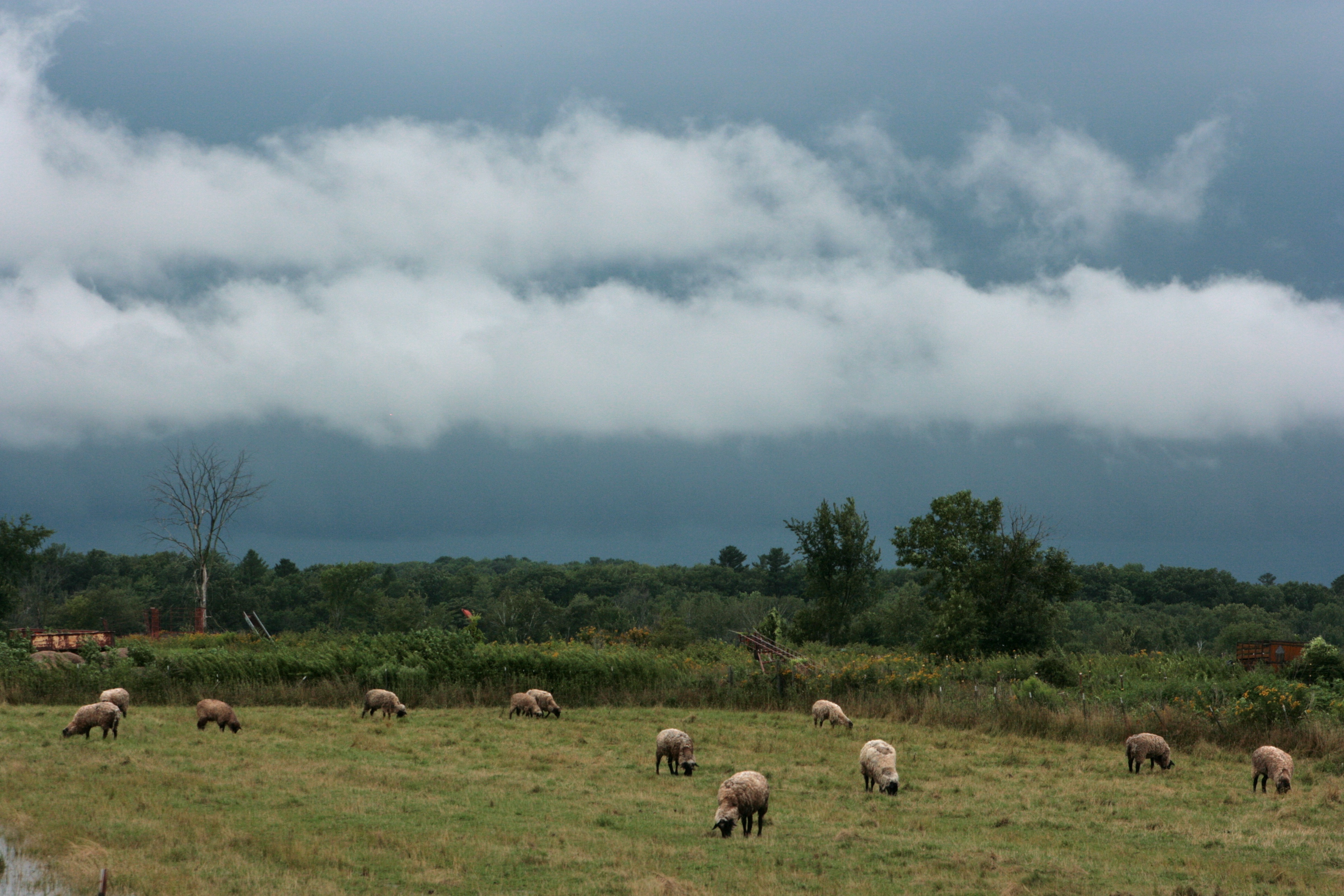
Sheep Awaiting the Storm
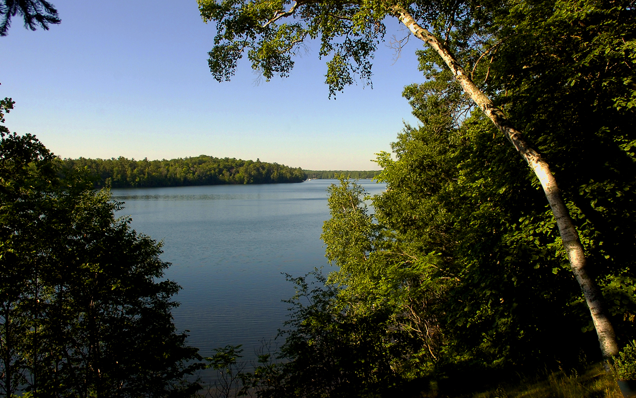
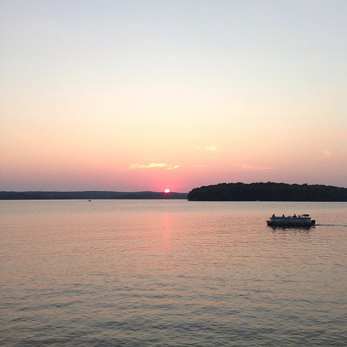
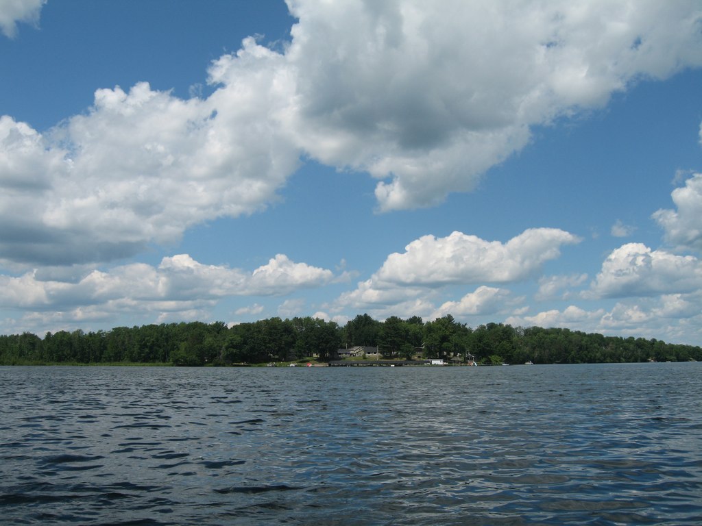
Long Lake
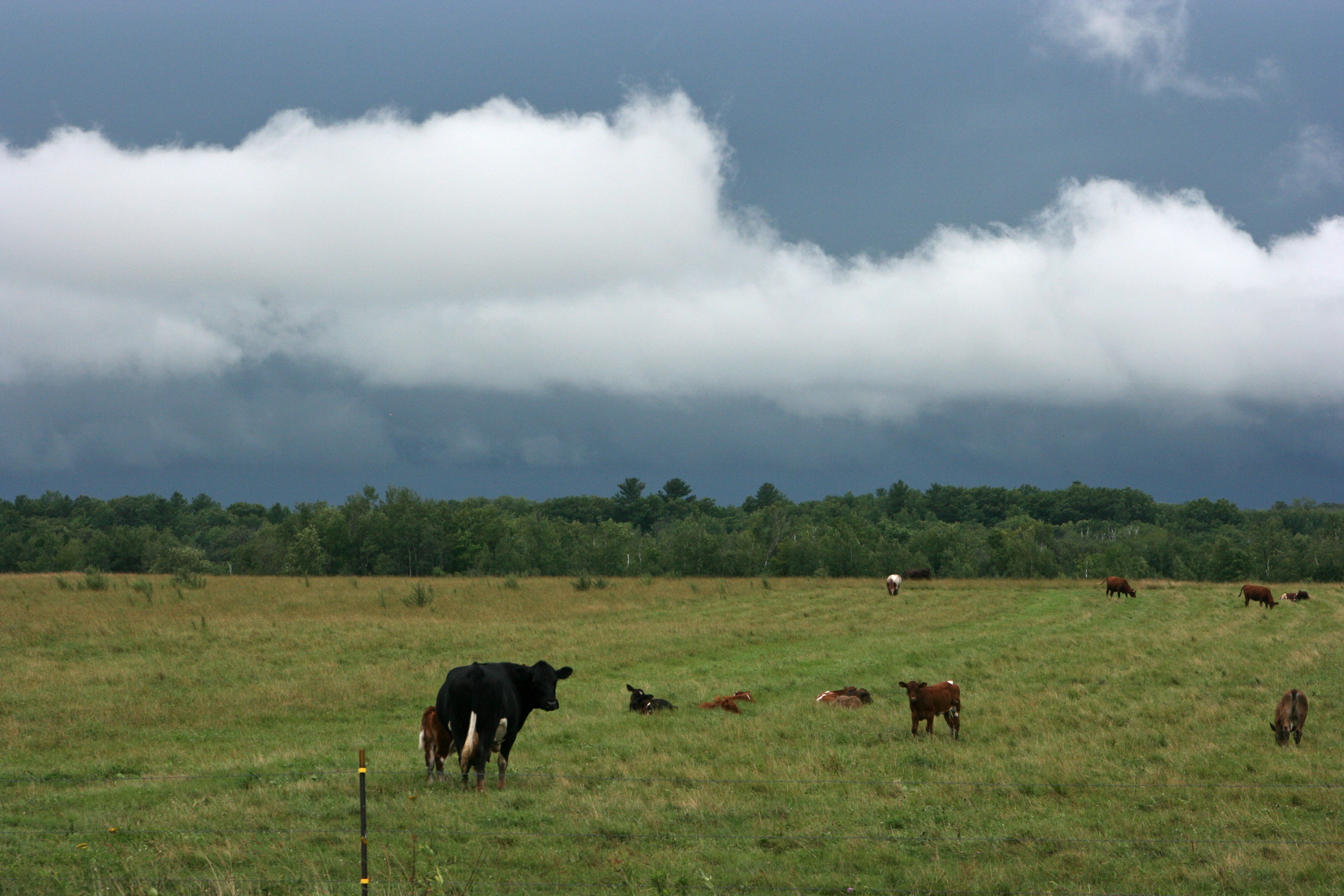
Moo Cows
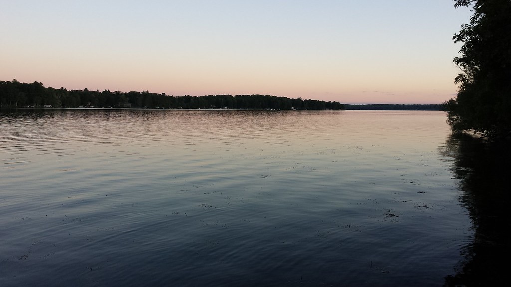
Afternoon by the lake

Twin Lake

Lewis Lodge, Edgewater, Wisconsin

scout camp August 2013
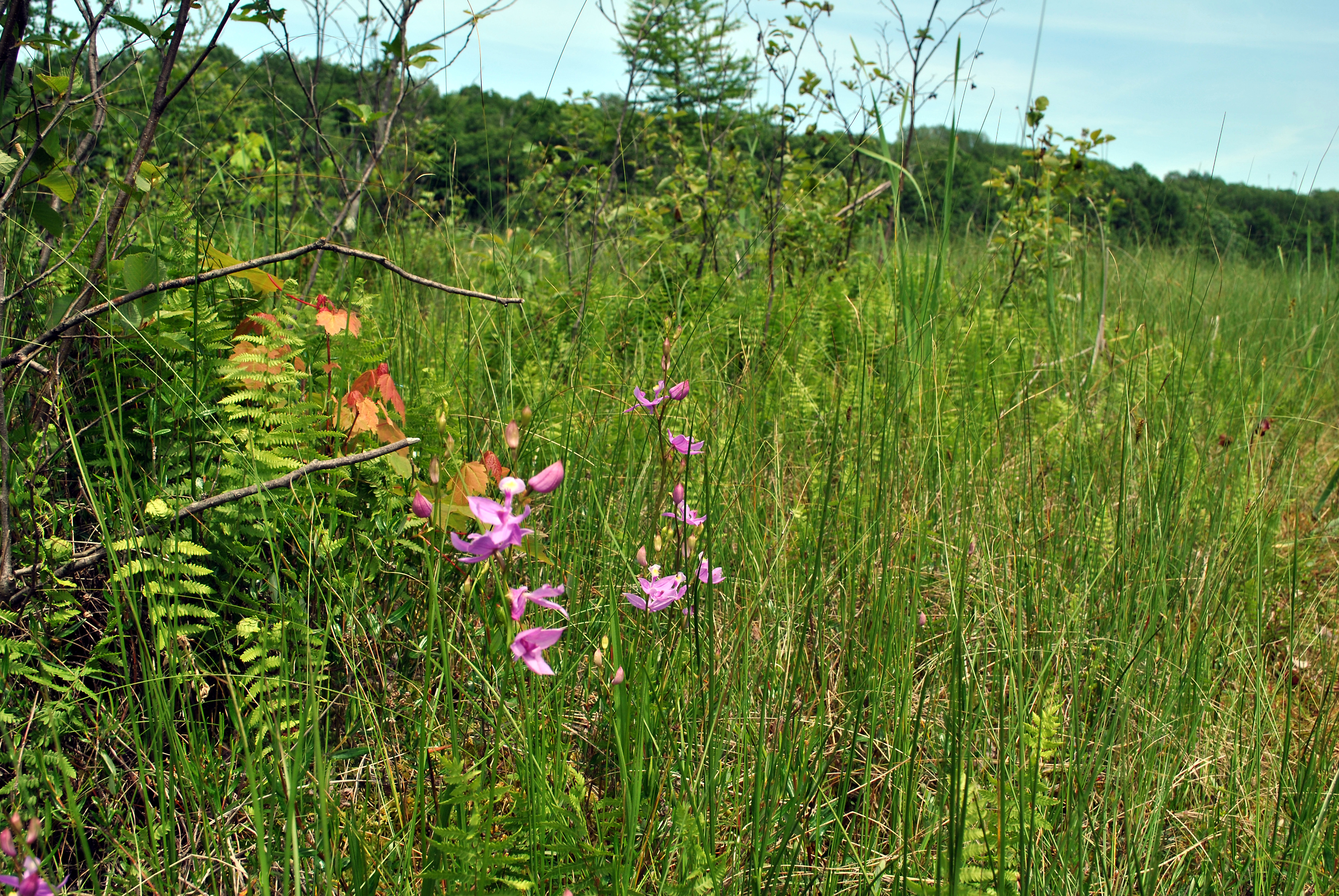
Grass Pink Orchid (Calopogon tuberosus)

Dory's Bog State Natural Area
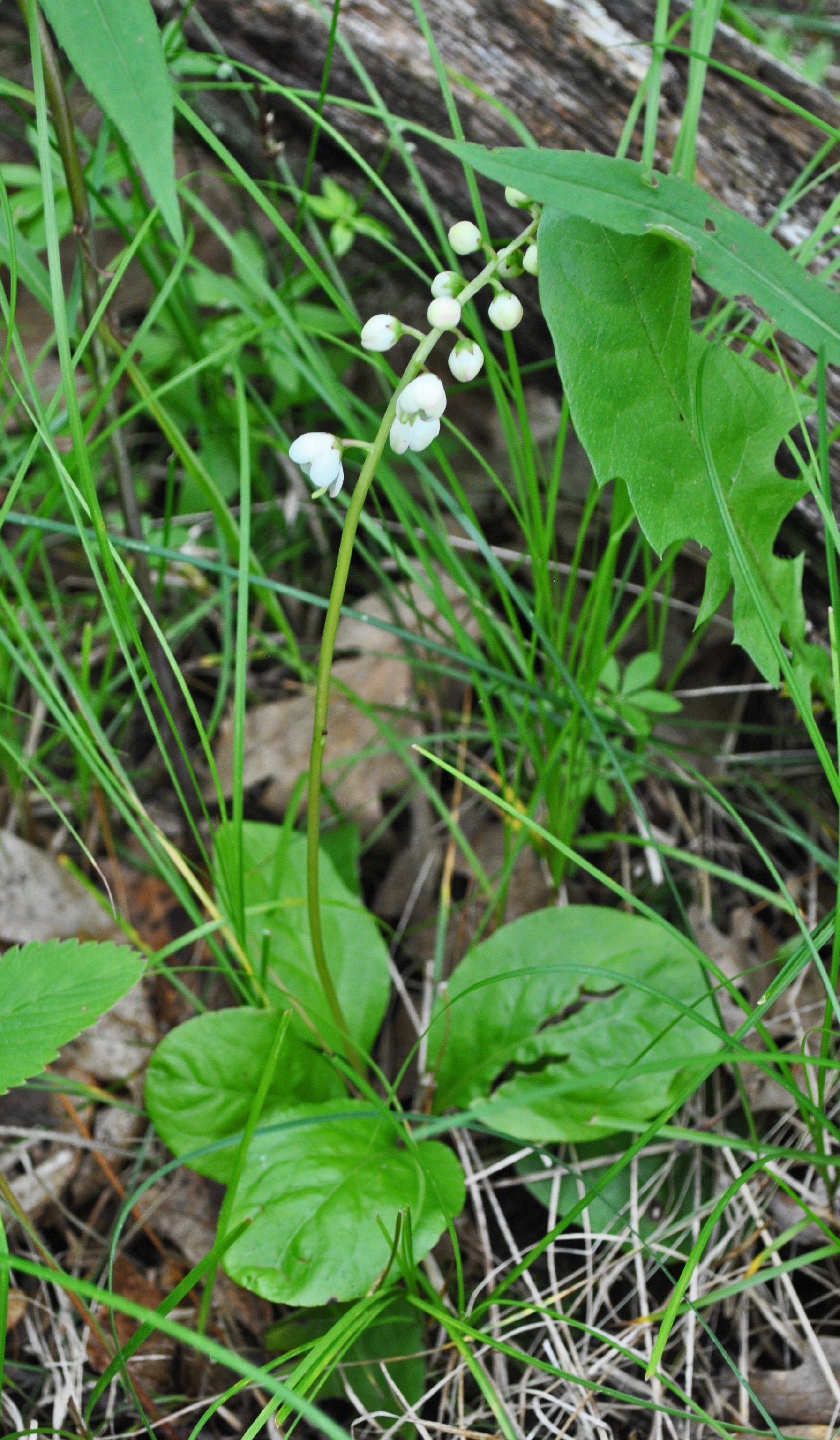
Large-Leaved Shinleaf (Pyrola elliptica)
Fred Thomas Resort
Topographic Map of 29th Ave, Birchwood, WI, USA
Find elevation by address:

Places near 29th Ave, Birchwood, WI, USA:
28th St, Birchwood, WI, USA
27 1 4 St, Rice Lake, WI, USA
Brill, WI, USA
N1910
2239 23rd St
Rice Lake
Oak Grove
W3471 Morningside Rd
Long Lake
Wilkinson
W Evans St, Rice Lake, WI, USA
Rice Lake
Historic Rice Lake
County Rd F & Co Rd O
15 3/8 Ave, Rice Lake, WI, USA
W Main St, Stone Lake, WI, USA
Sarona
Bear Lake
N3370
Crystal
Recent Searches:
- Elevation of Corso Fratelli Cairoli, 35, Macerata MC, Italy
- Elevation of Tallevast Rd, Sarasota, FL, USA
- Elevation of 4th St E, Sonoma, CA, USA
- Elevation of Black Hollow Rd, Pennsdale, PA, USA
- Elevation of Oakland Ave, Williamsport, PA, USA
- Elevation of Pedrógão Grande, Portugal
- Elevation of Klee Dr, Martinsburg, WV, USA
- Elevation of Via Roma, Pieranica CR, Italy
- Elevation of Tavkvetili Mountain, Georgia
- Elevation of Hartfords Bluff Cir, Mt Pleasant, SC, USA